Elevation of Toots Lake, Stambaugh Township, MI, USA
Location: United States > Michigan > Iron County > Stambaugh Township >
Longitude: -88.929761
Latitude: 46.3212001
Elevation: 510m / 1673feet
Barometric Pressure: 95KPa
Elevation Map:
Satellite Map:
Related Photos:
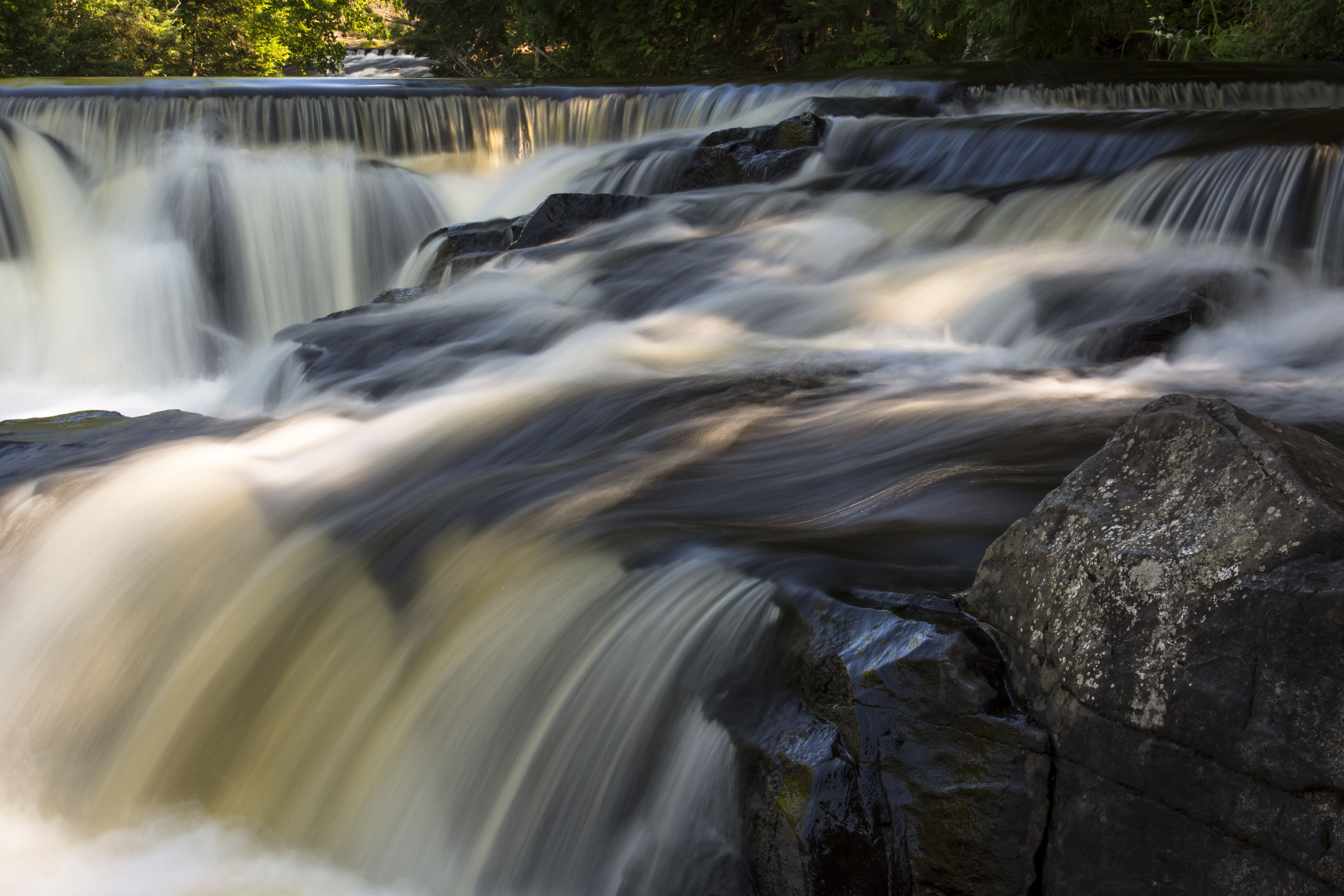
water paths...
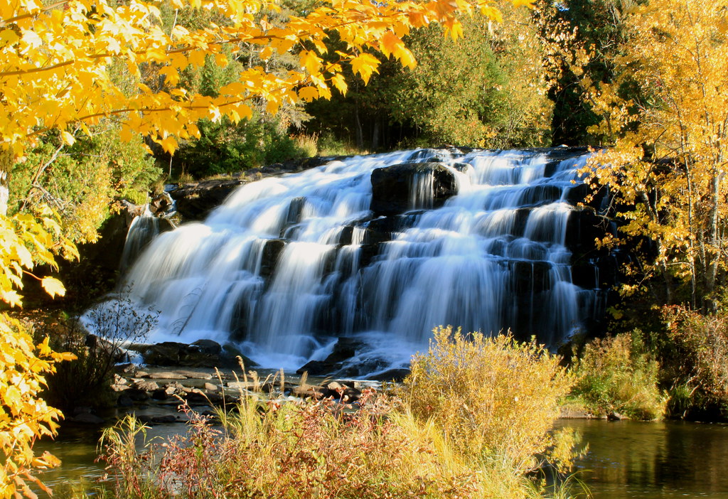
Bond Falls framed in Autumn Gold
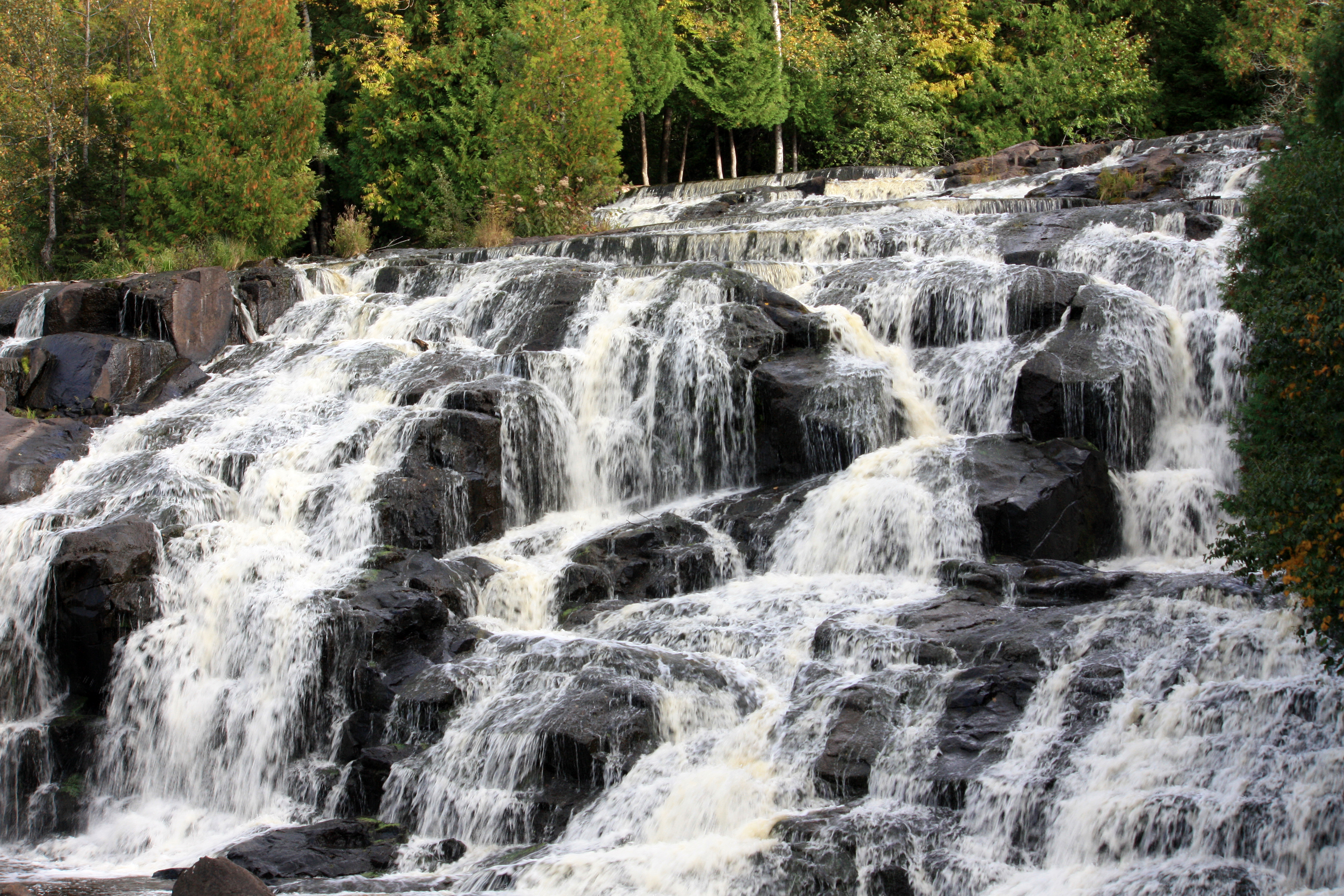
bond falls, MI

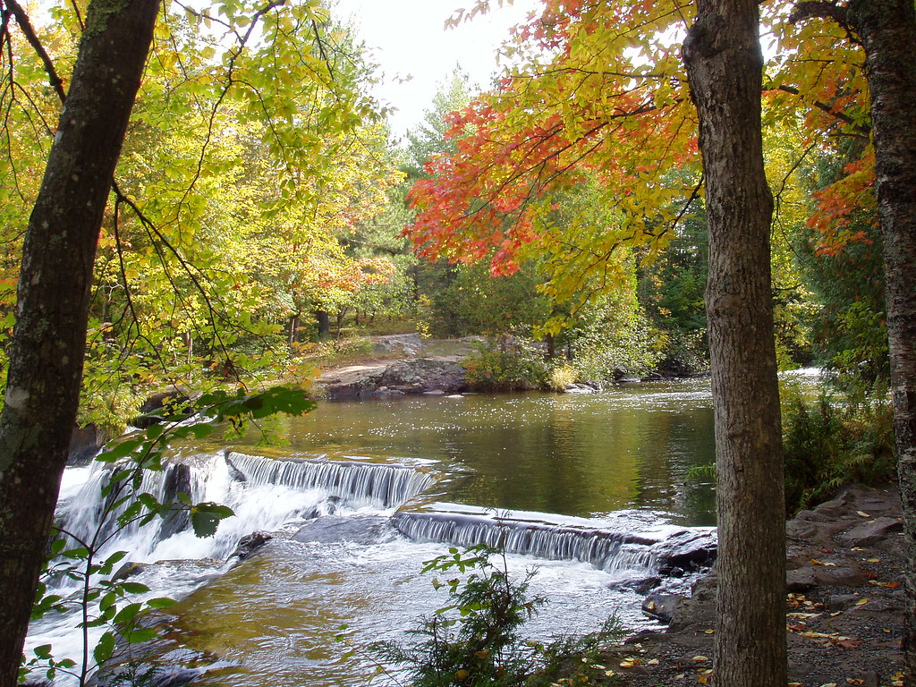
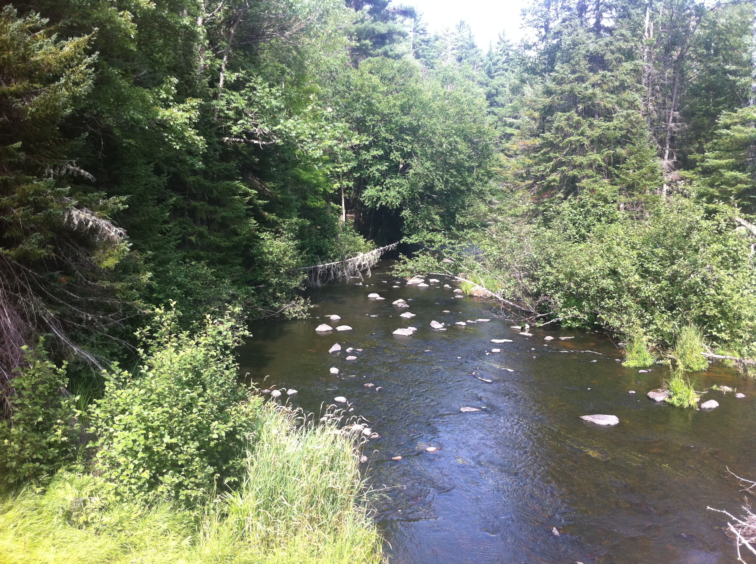
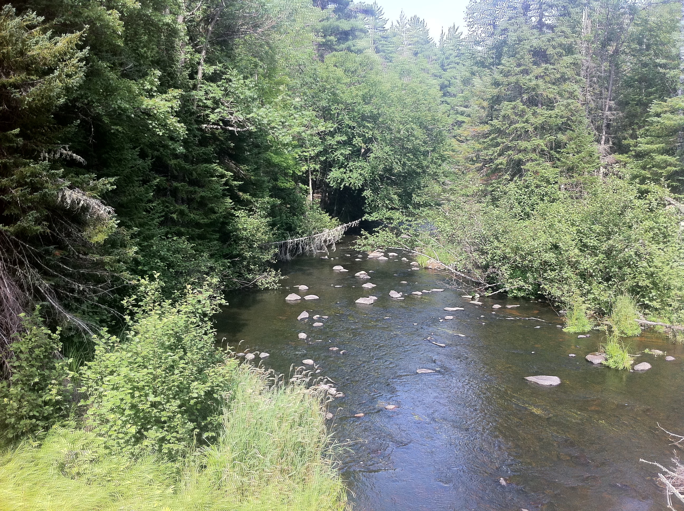
Meandering River
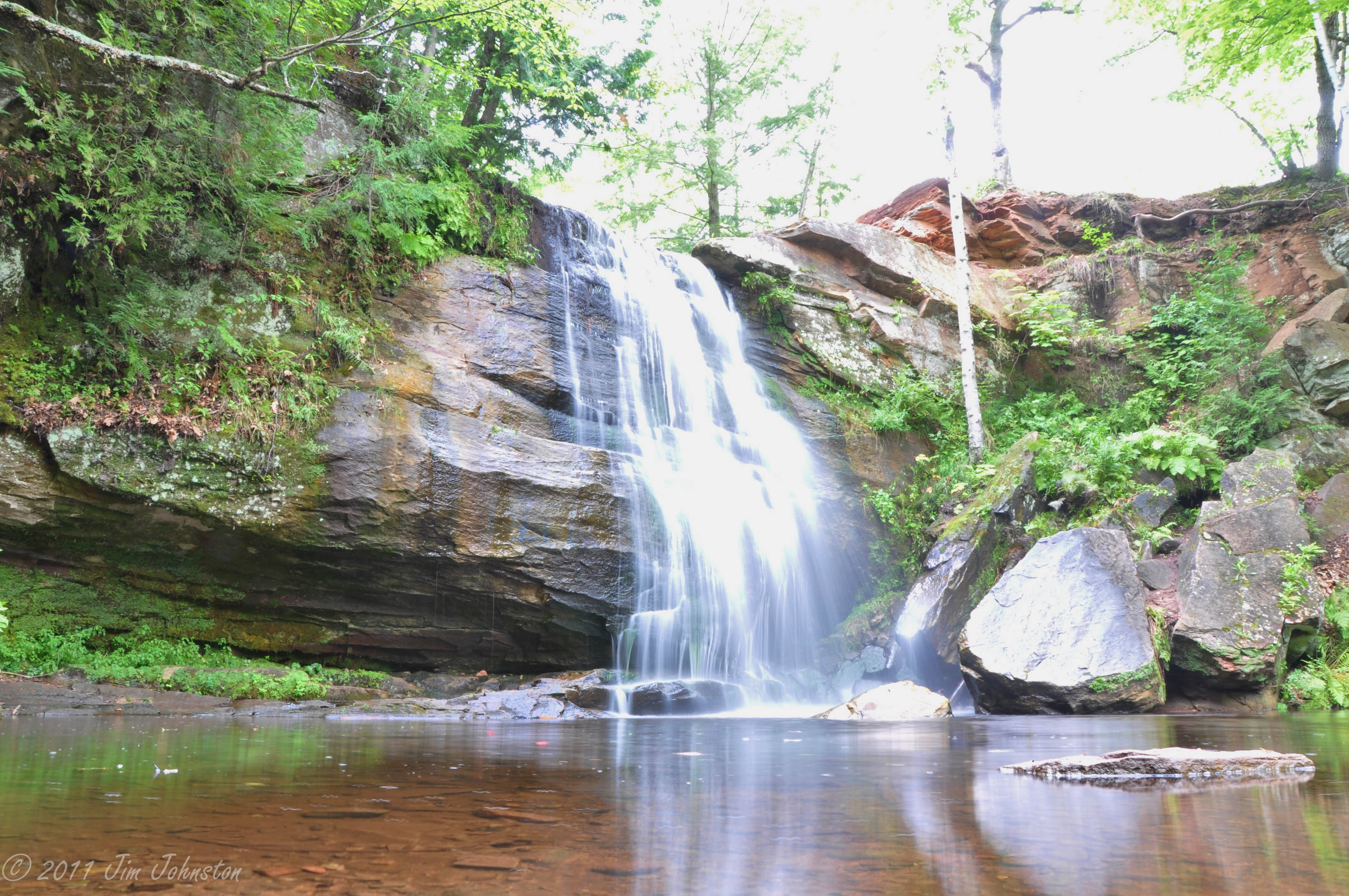
Bond Falls
Still Waters
Eagle River 2011 - 030
Eagle River 2011 - 031

Michigan Eagle

Dew 7659p

dandelion asteracea
Eagle River 2011 - 036
Eagle River 2011 - 033
Eagle River 2011 - 026
Eagle River 2011 - 025
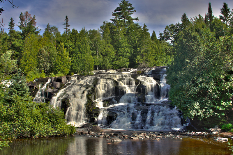
Bond Falls
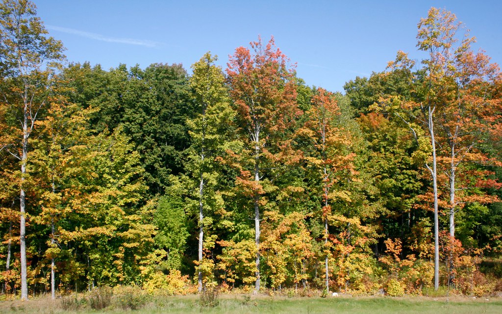
Fall Trip
Fall Trip

No more wells to drill?
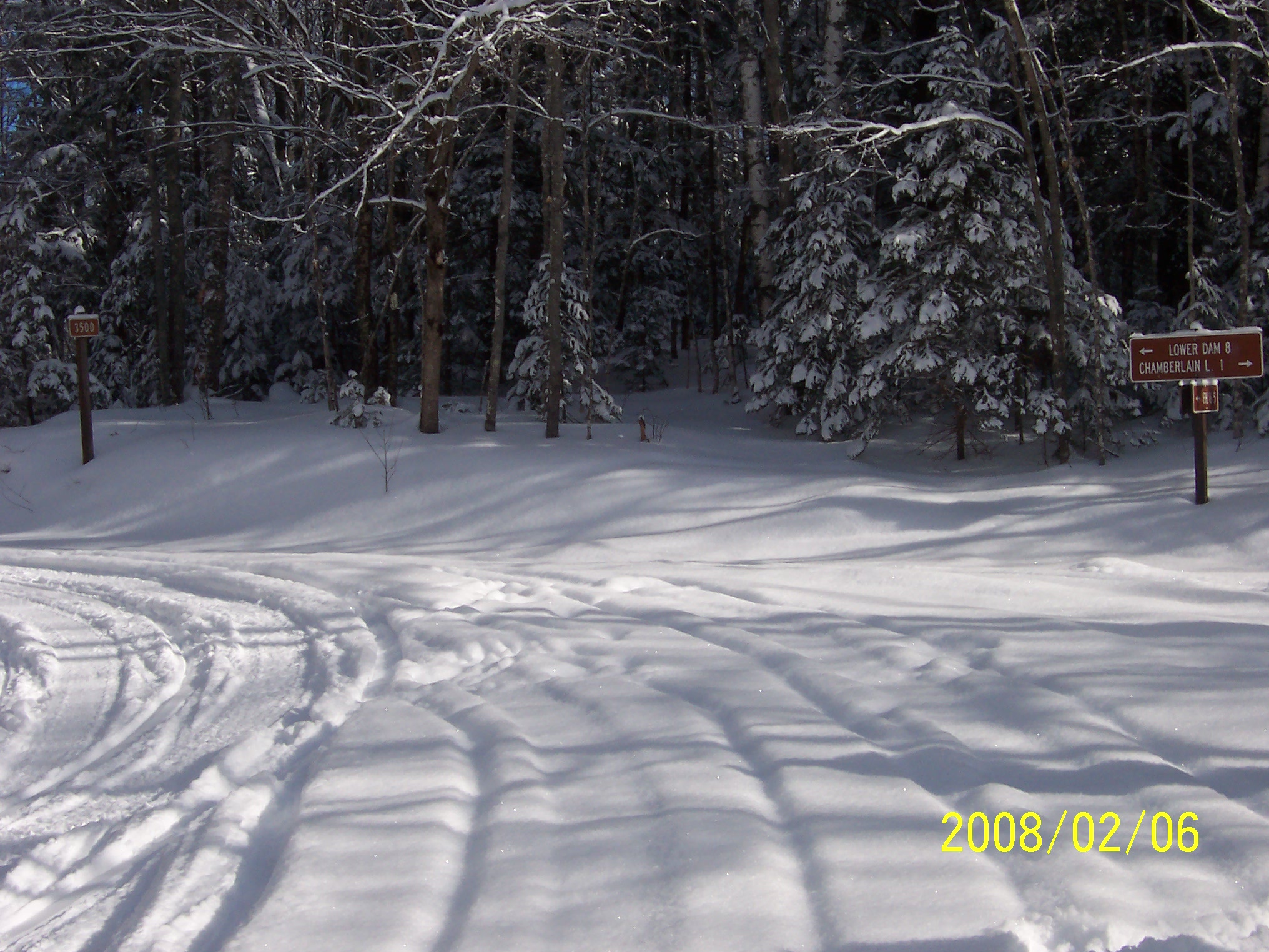
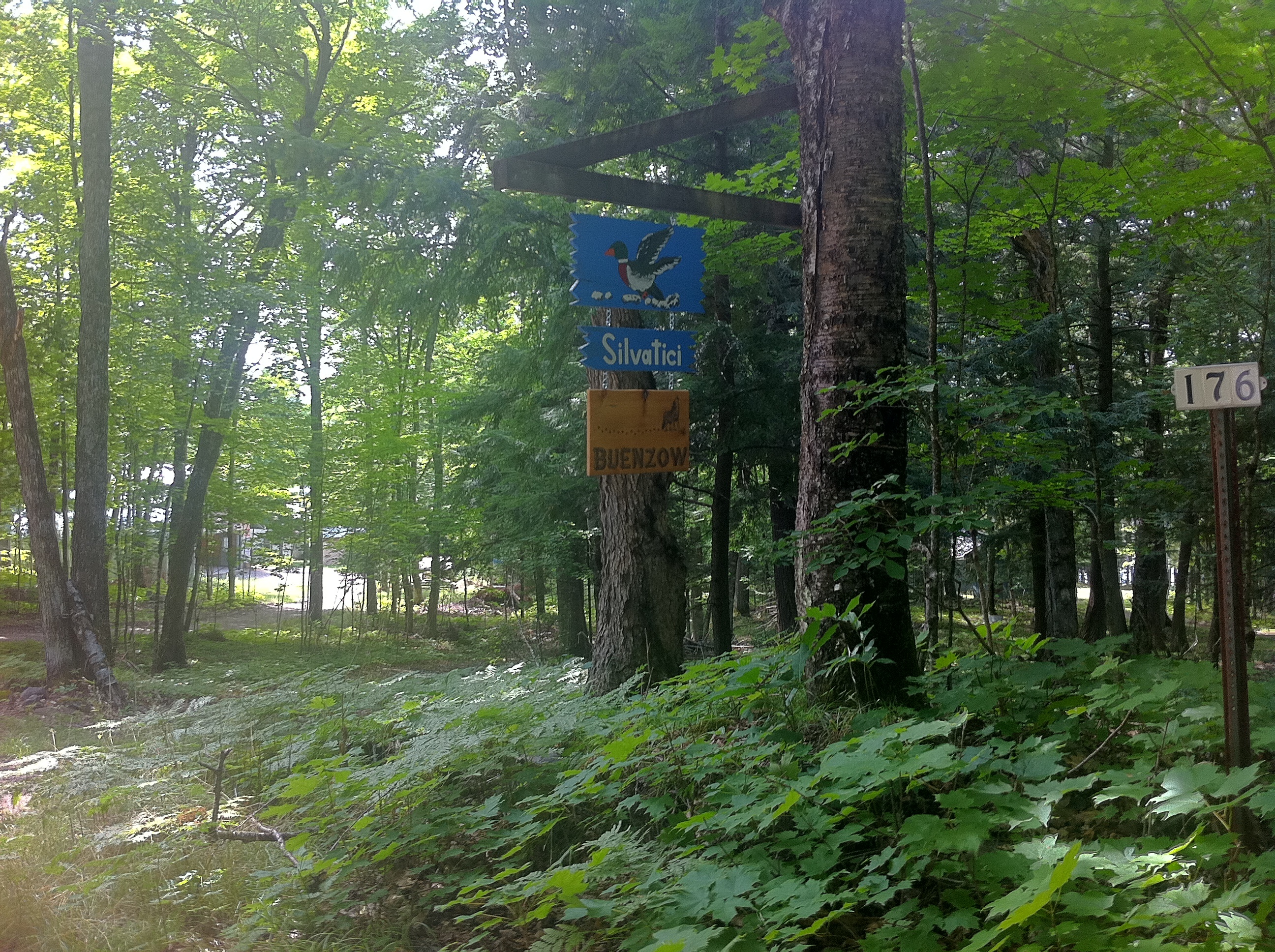
Backwoods Trail 01

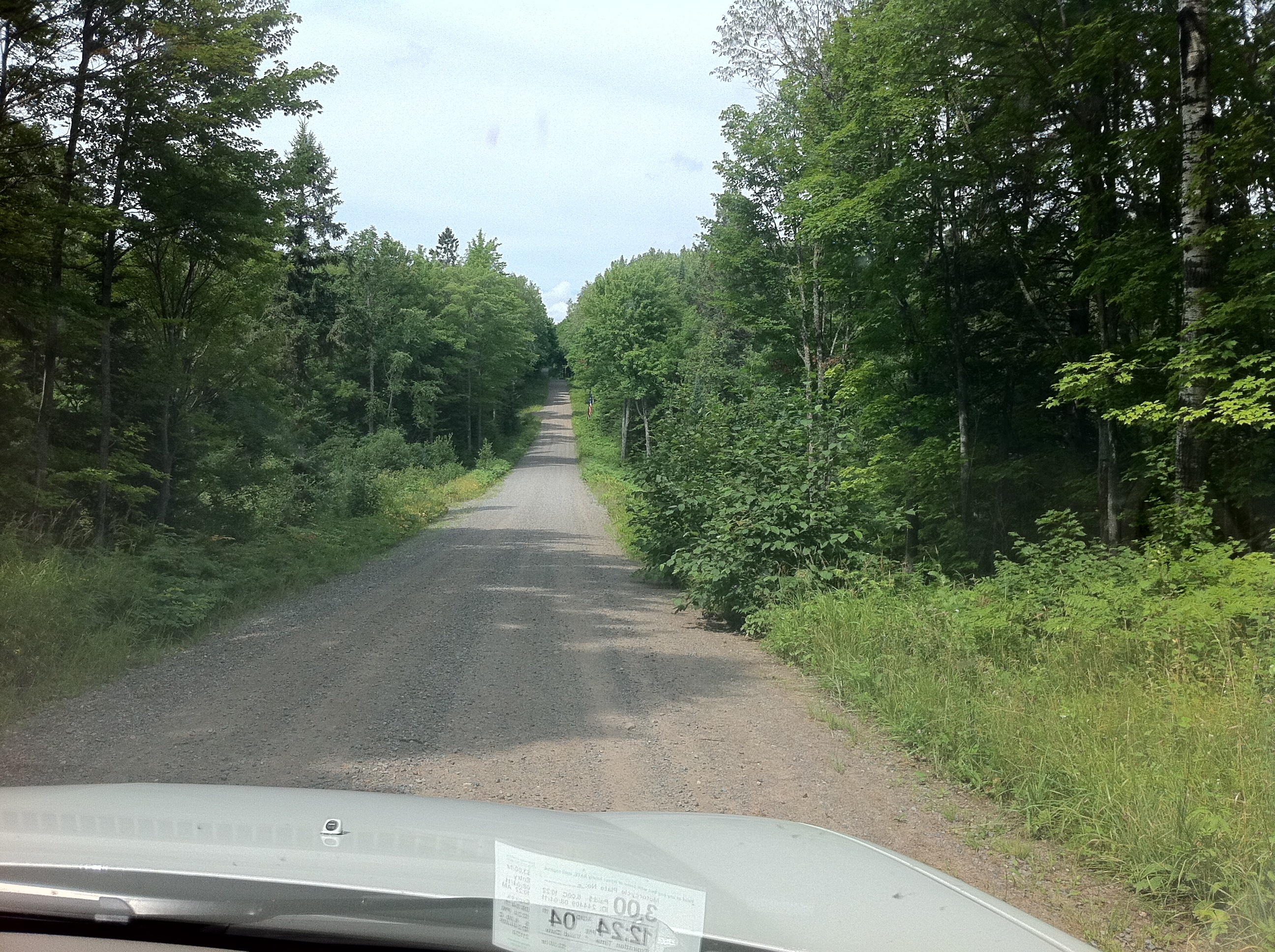
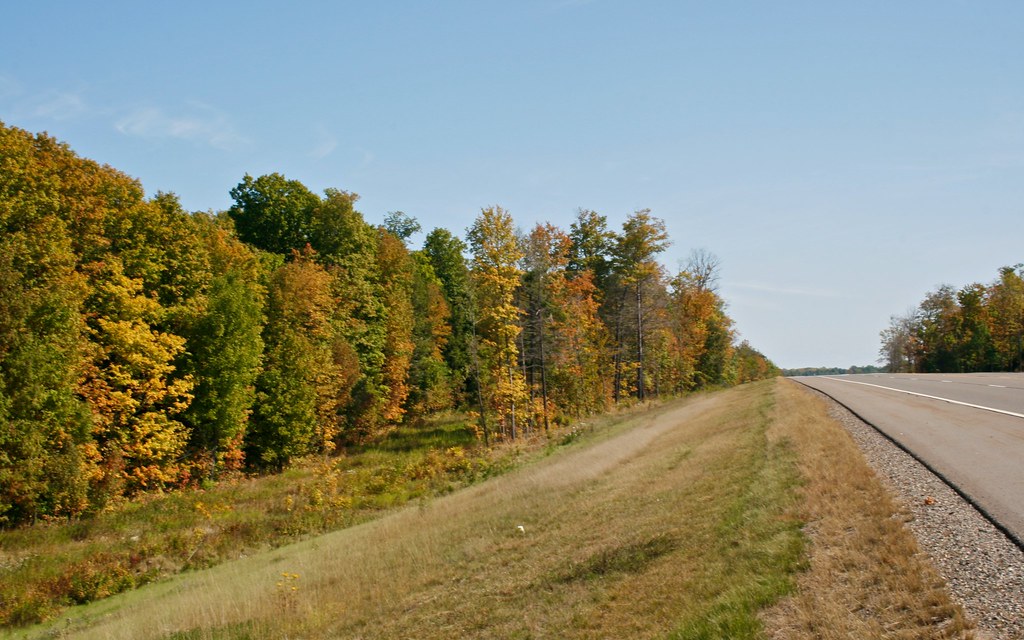
Gravel Road
Topographic Map of Toots Lake, Stambaugh Township, MI, USA
Find elevation by address:

Places near Toots Lake, Stambaugh Township, MI, USA:
Stambaugh Township
Iron River Township
Gibbs City Road
Basswood Rd, Iron River, MI, USA
Gibbs City
N4720
Watersmeet
Old Military Road
Phelps
3391 Crystal Springs Ln
Sunrise Lodge
Bates Township
267 Gendron Rd
267 Gendron Rd
Hill Rd, Phelps, WI, USA
Phelps
East Duck Lake Road
Land O' Lakes
Watersmeet Township
5799 Us-45
Recent Searches:
- Elevation of Foligno, Province of Perugia, Italy
- Elevation of Blauwestad, Netherlands
- Elevation of Bella Terra Blvd, Estero, FL, USA
- Elevation of Estates Loop, Priest River, ID, USA
- Elevation of Woodland Oak Pl, Thousand Oaks, CA, USA
- Elevation of Brownsdale Rd, Renfrew, PA, USA
- Elevation of Corcoran Ln, Suffolk, VA, USA
- Elevation of Mamala II, Sariaya, Quezon, Philippines
- Elevation of Sarangdanda, Nepal
- Elevation of 7 Waterfall Way, Tomball, TX, USA