Elevation of Bates Township, MI, USA
Location: United States > Michigan > Iron County >
Longitude: -88.636367
Latitude: 46.2722123
Elevation: 473m / 1552feet
Barometric Pressure: 96KPa
Elevation Map:
Satellite Map:
Related Photos:

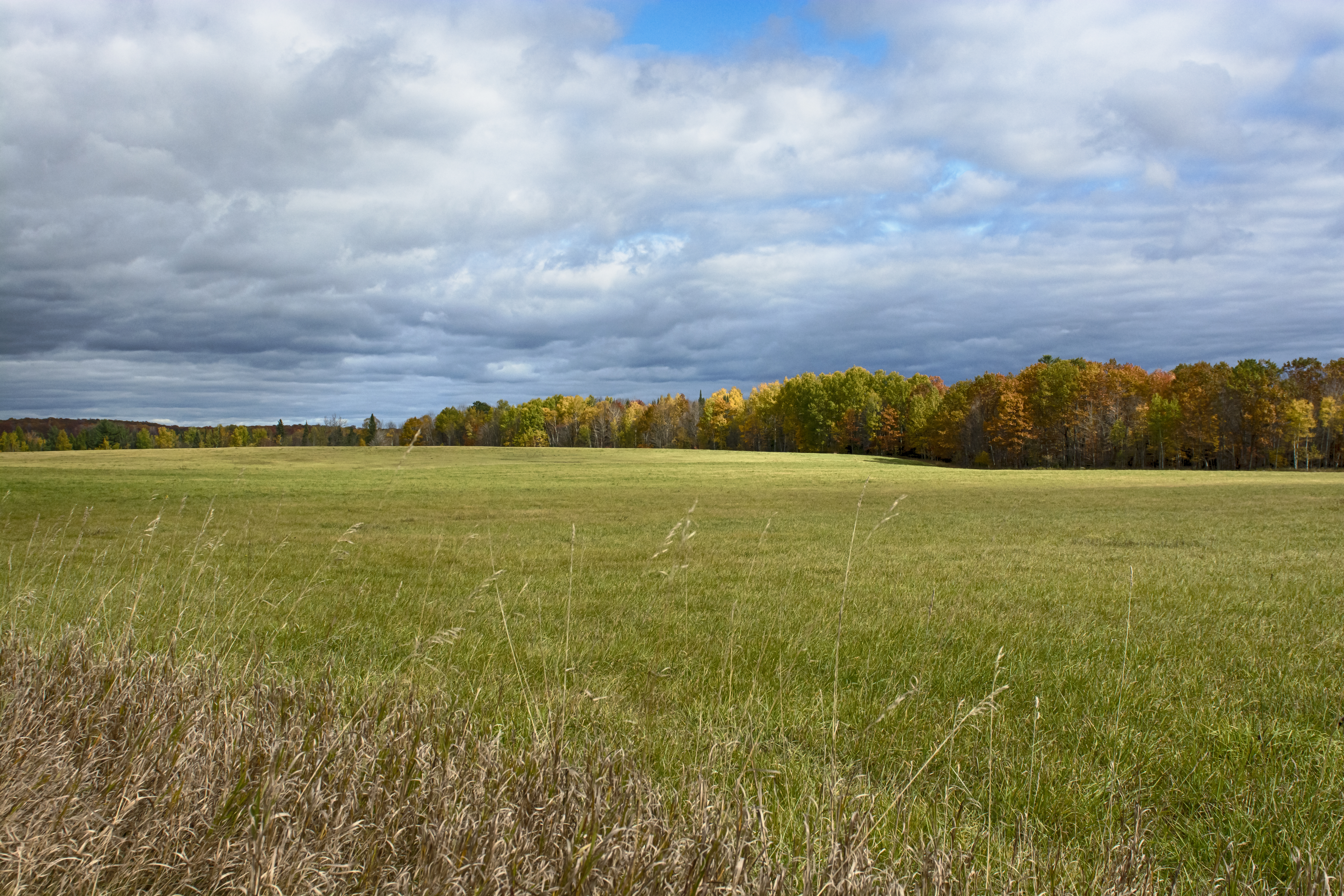
electric Aspens...
autumn sun shower
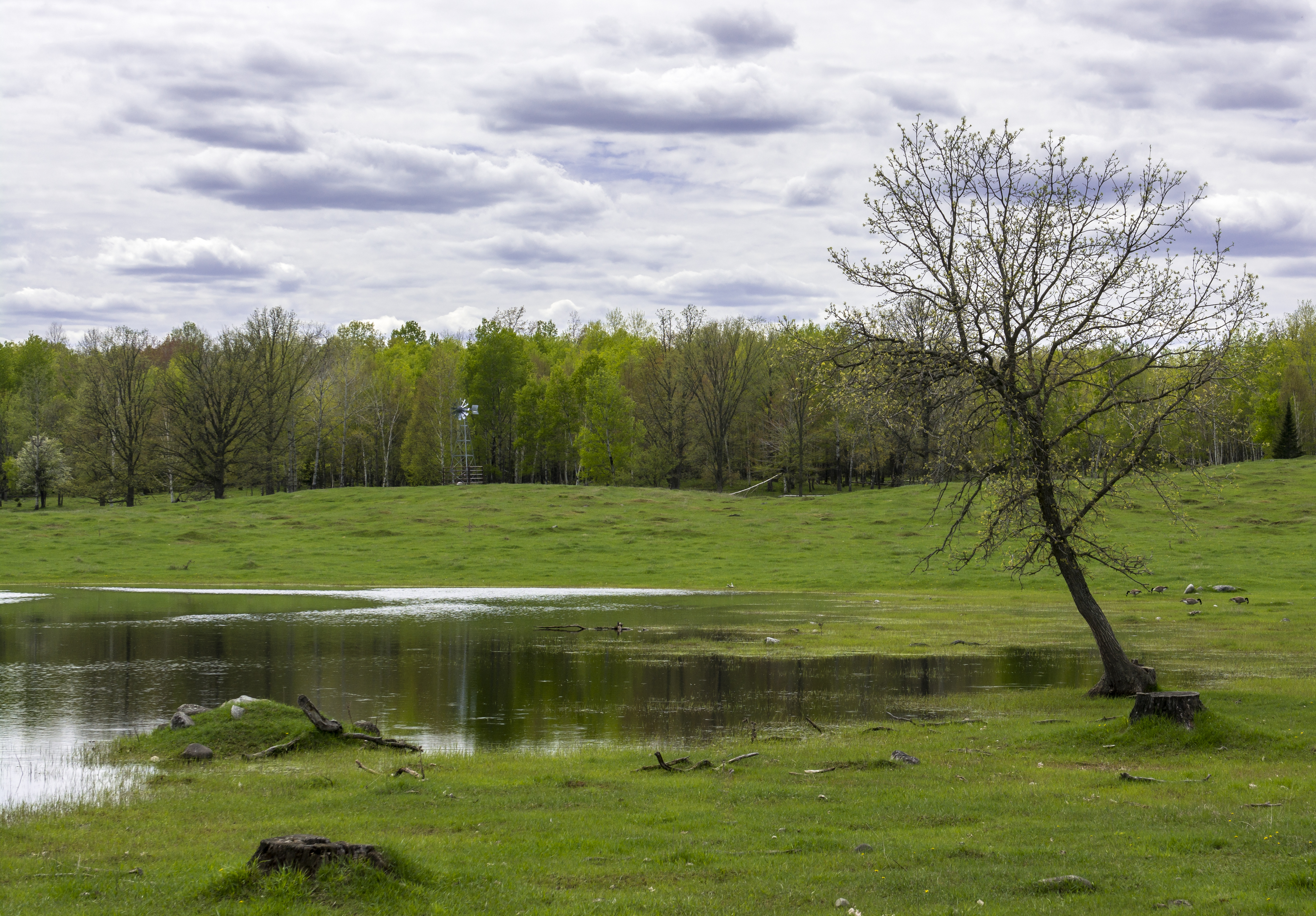
spring time machine

Michigan Fritillary

morning Mallow
UFO...

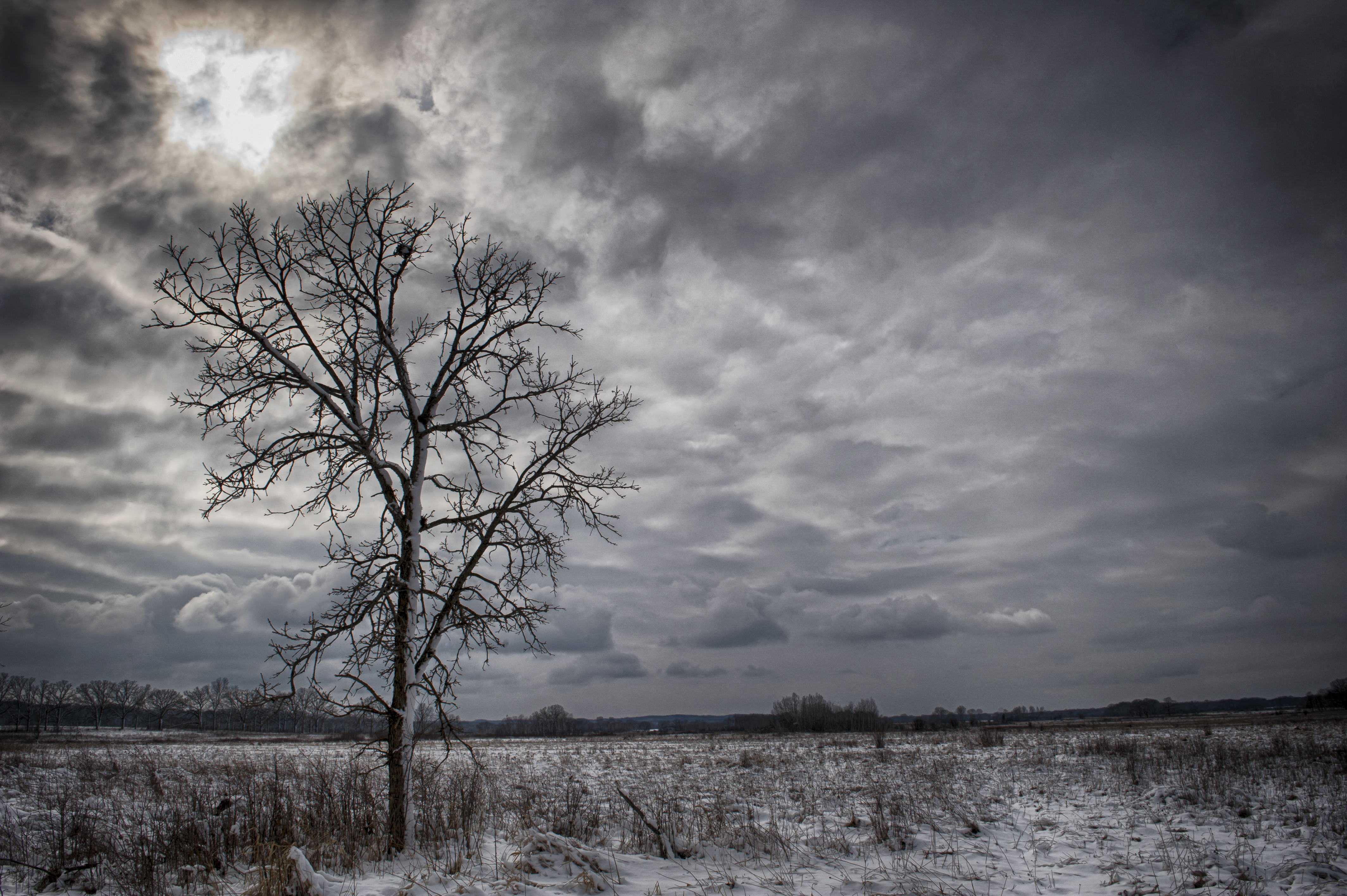
the edge of night

Paint River

kayak paths...
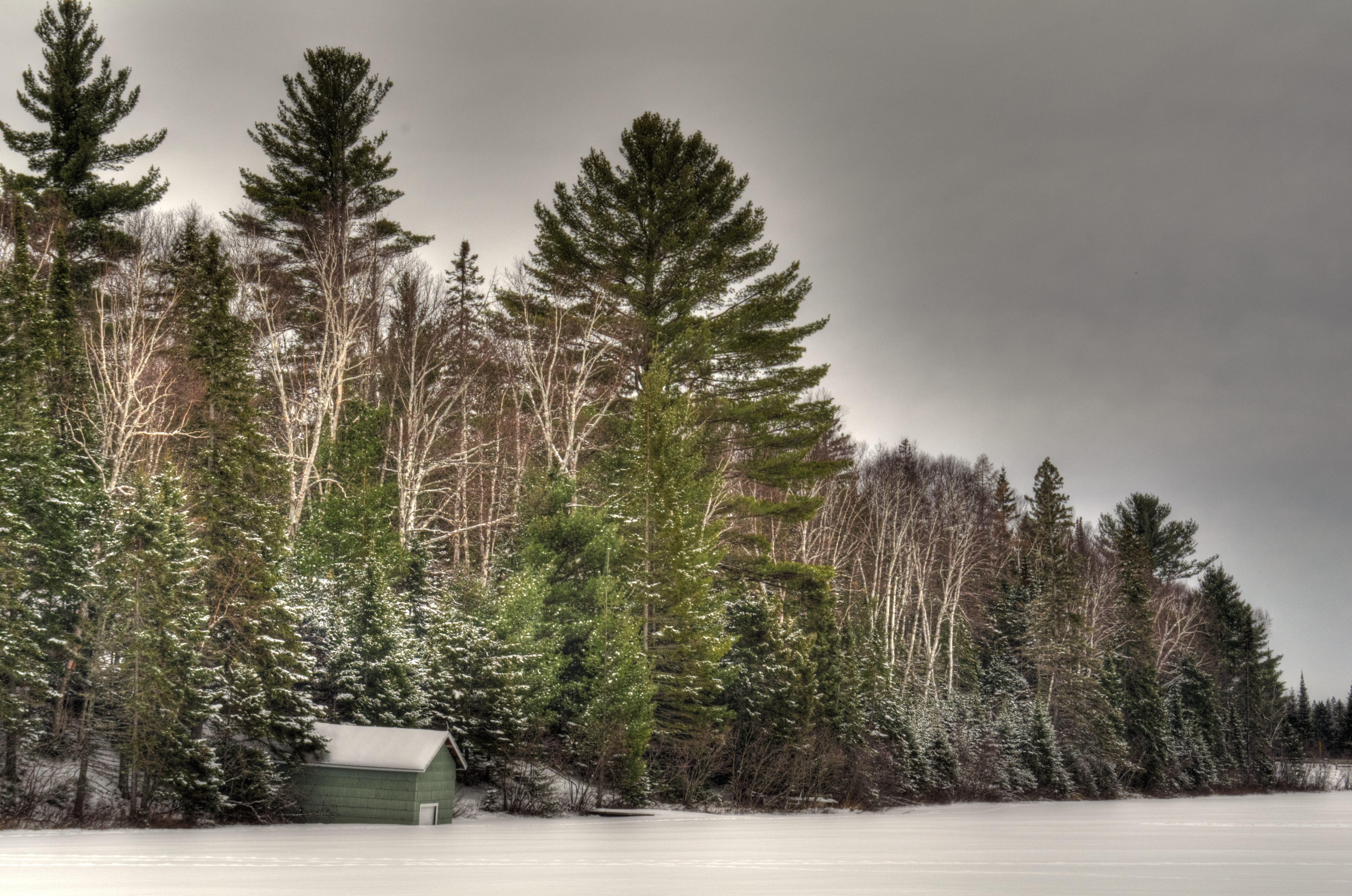
On the ice at Deer Lake
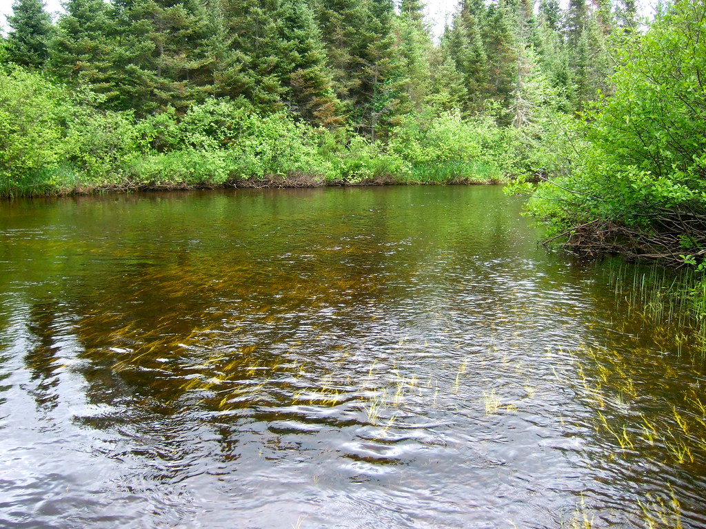
North Branch Paint River
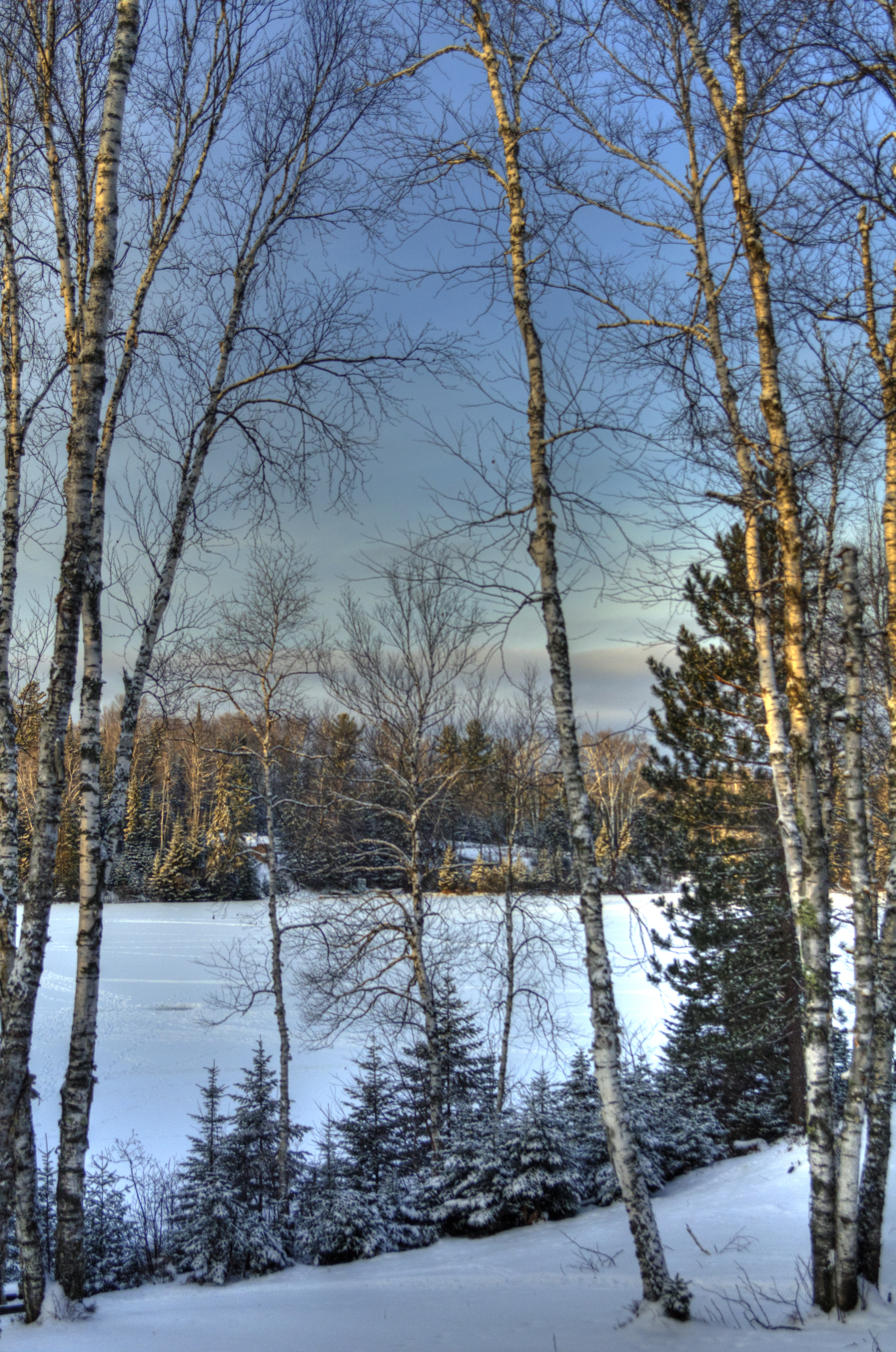
From the cabin- Deer lake
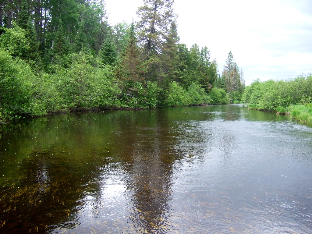
North Branch Paint River
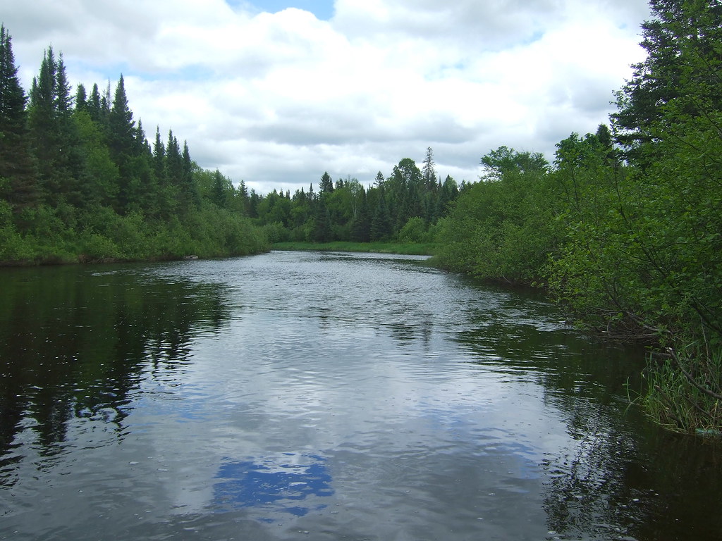
North Branch Paint River
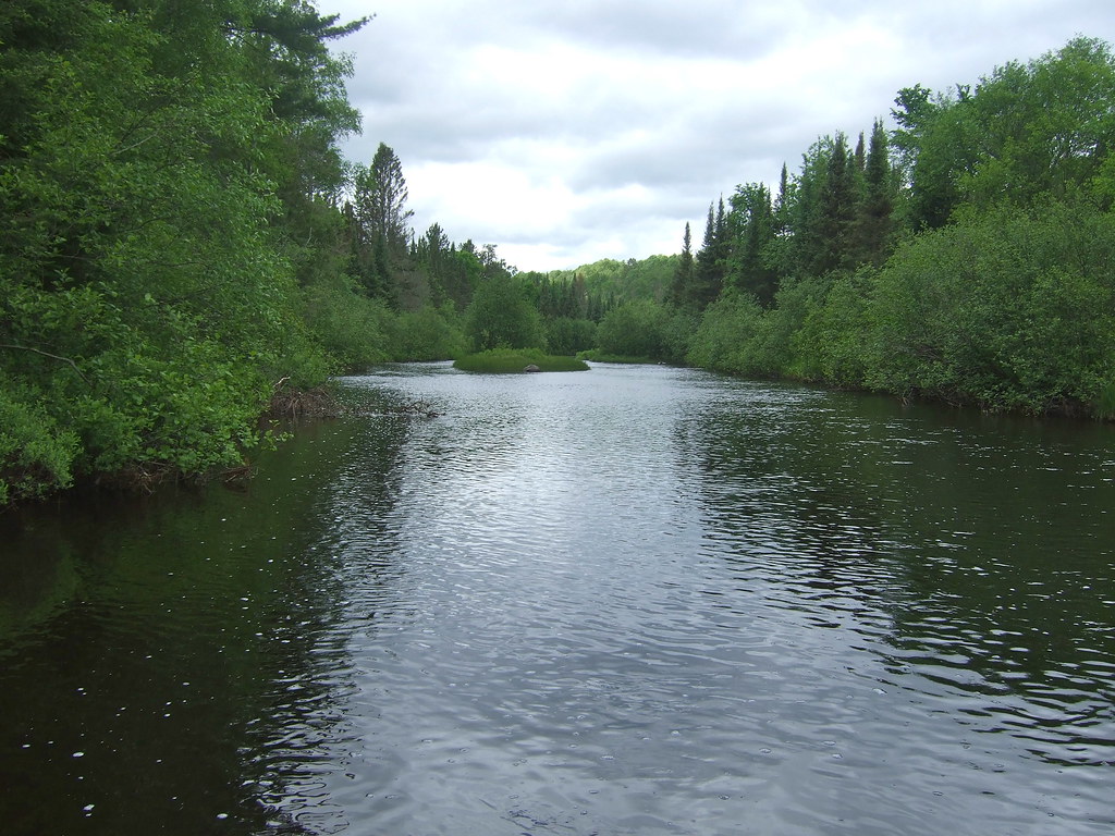
North Branch Paint River
continue the cycle...

pine needles
Fall Trip
Topographic Map of Bates Township, MI, USA
Find elevation by address:

Places near Bates Township, MI, USA:
Gibbs City
267 Gendron Rd
267 Gendron Rd
Gibbs City Road
Iron River Township
Basswood Rd, Iron River, MI, USA
Wilson Ave, Iron River, MI, USA
Selden Rd, Iron River, MI, USA
Toots Lake
Stambaugh Township
13990 Gilligan Ln
5396 Long Lake Rd
Popple River
Pople River Rd, Argonne, WI, USA
Phelps
Phelps
Hill Rd, Phelps, WI, USA
Sunrise Lodge
3391 Crystal Springs Ln
Old Military Road
Recent Searches:
- Elevation of Pinewood Dr, New Bern, NC, USA
- Elevation of Mountain View, CA, USA
- Elevation of Foligno, Province of Perugia, Italy
- Elevation of Blauwestad, Netherlands
- Elevation of Bella Terra Blvd, Estero, FL, USA
- Elevation of Estates Loop, Priest River, ID, USA
- Elevation of Woodland Oak Pl, Thousand Oaks, CA, USA
- Elevation of Brownsdale Rd, Renfrew, PA, USA
- Elevation of Corcoran Ln, Suffolk, VA, USA
- Elevation of Mamala II, Sariaya, Quezon, Philippines