Elevation of Iron County, MI, USA
Location: United States > Michigan >
Longitude: -88.490277
Latitude: 46.2758153
Elevation: 492m / 1614feet
Barometric Pressure: 96KPa
Elevation Map:
Satellite Map:
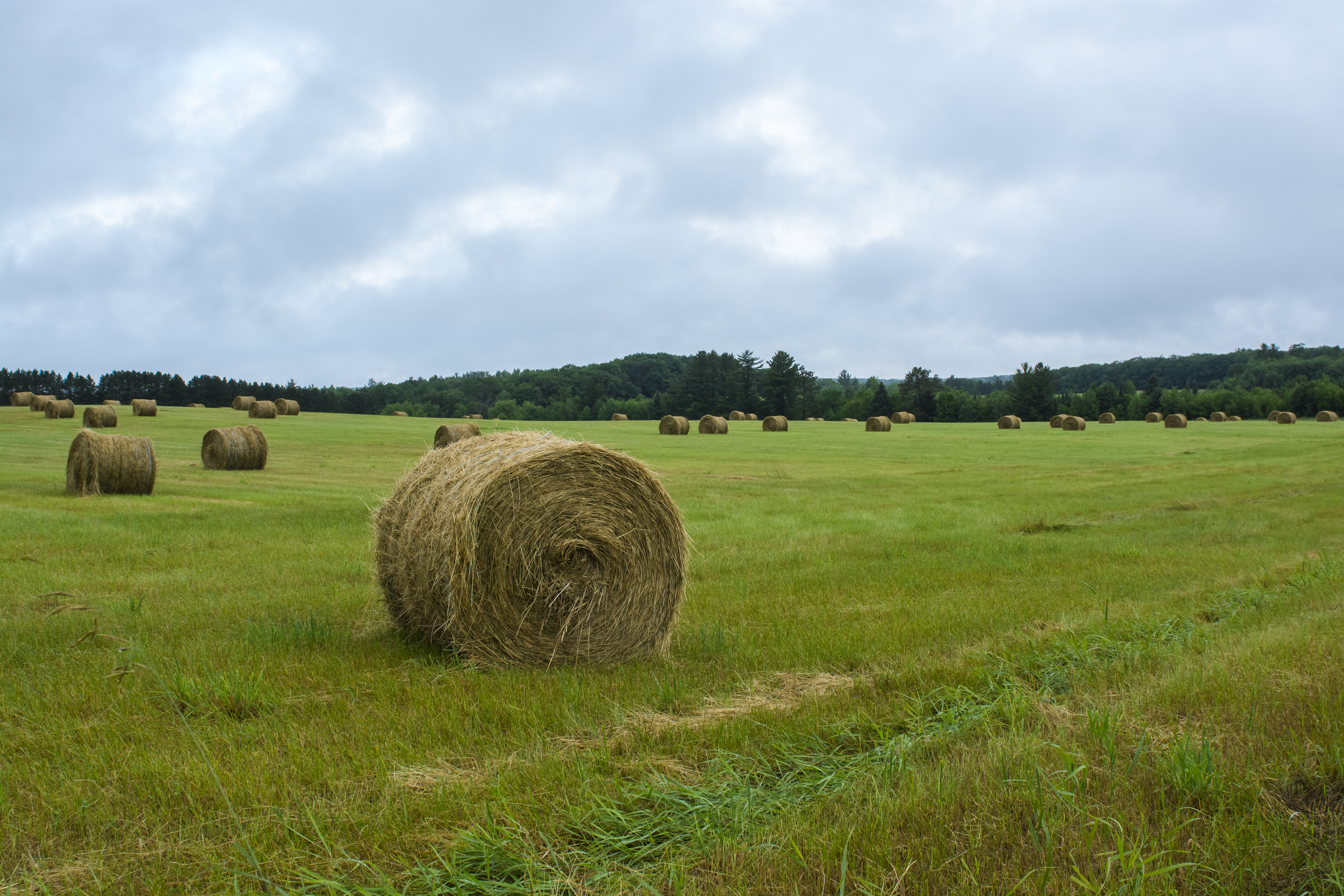
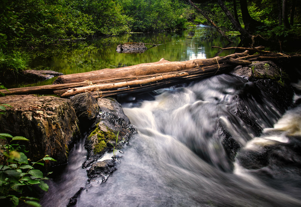
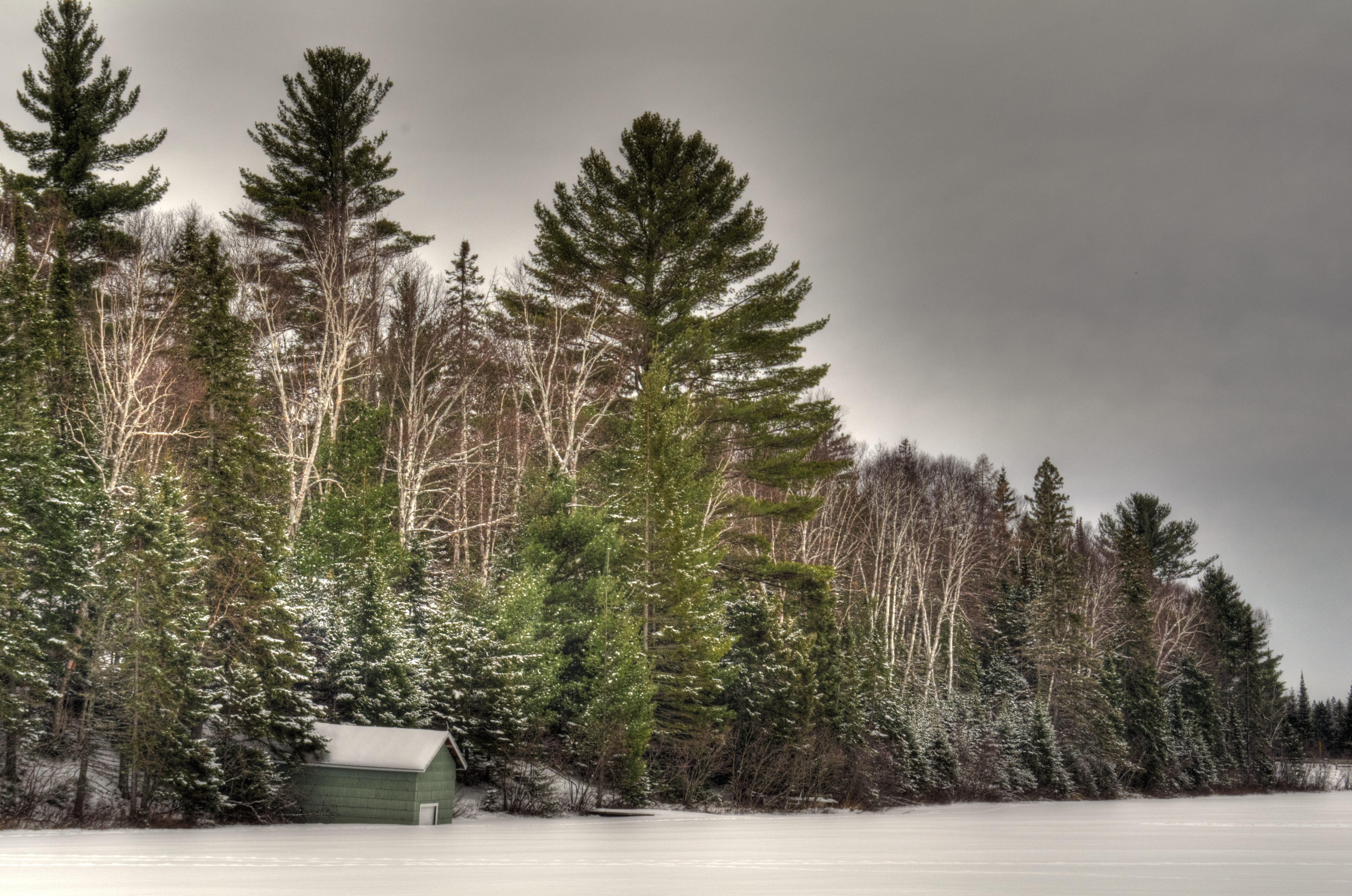
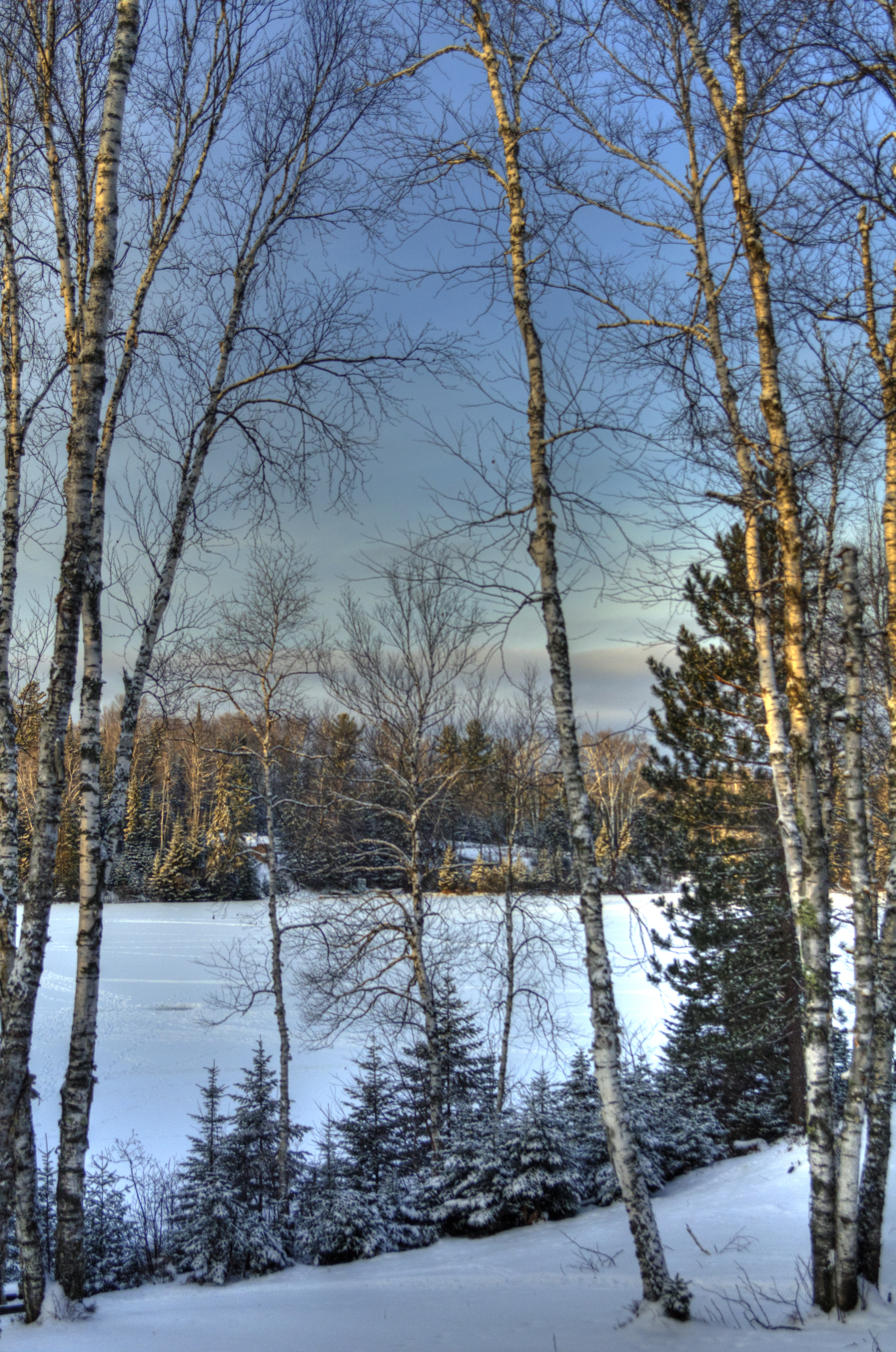
Related Photos:
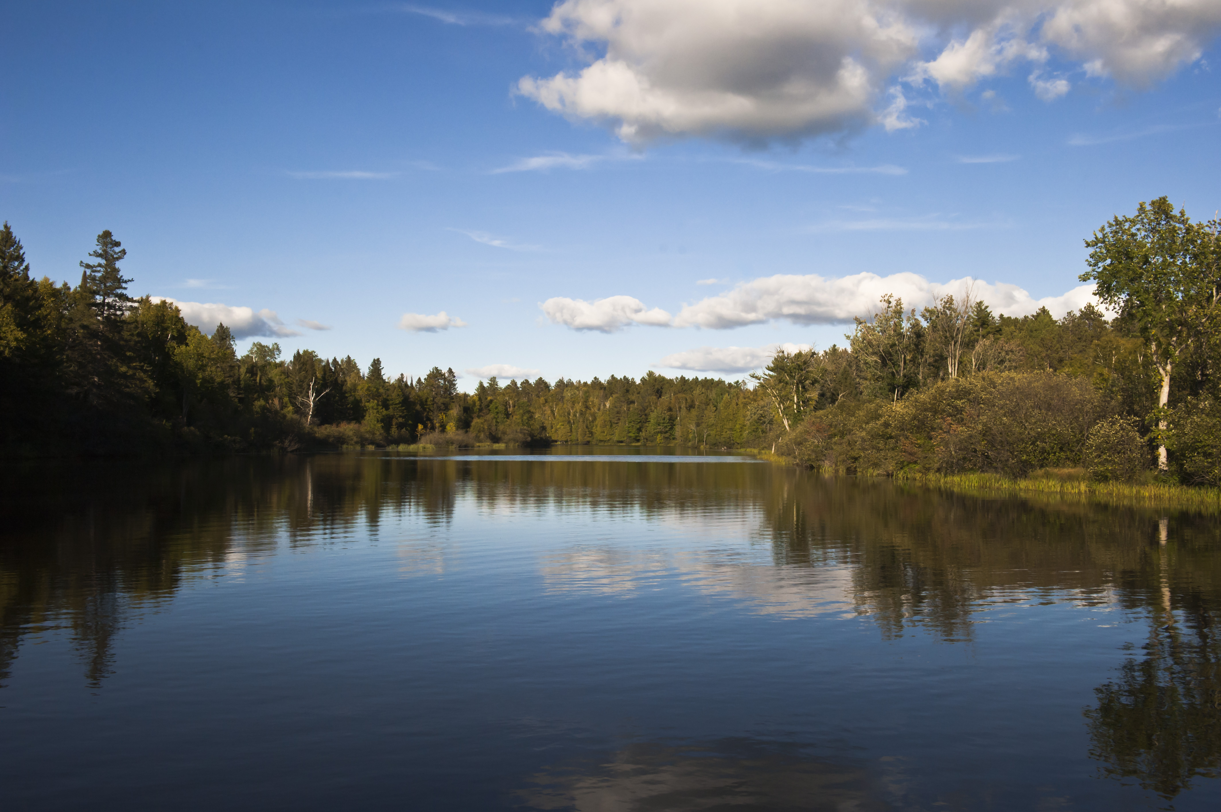
a look across the river

A wild garden party...

Michigan Fritillary

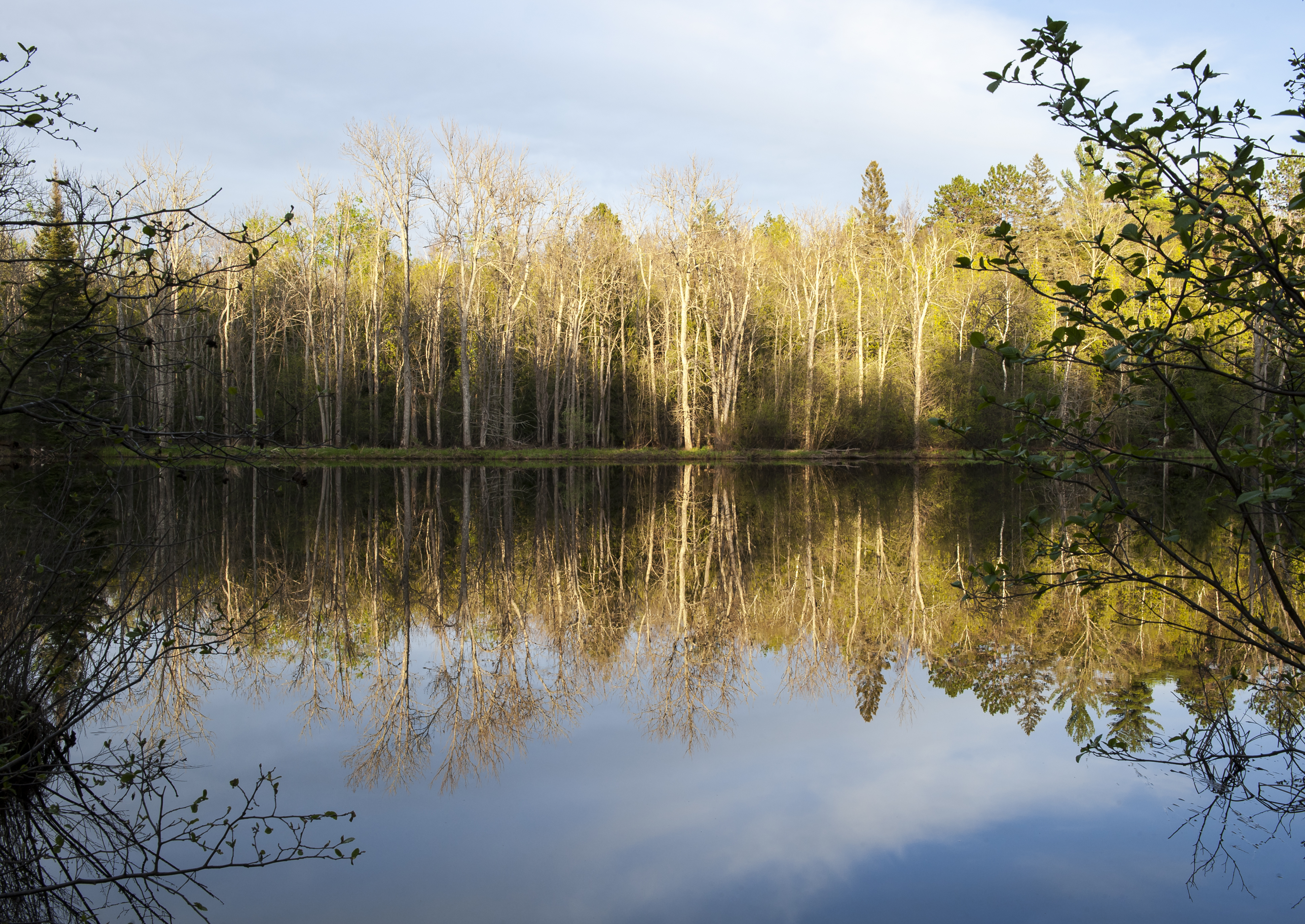
electric Aspens...
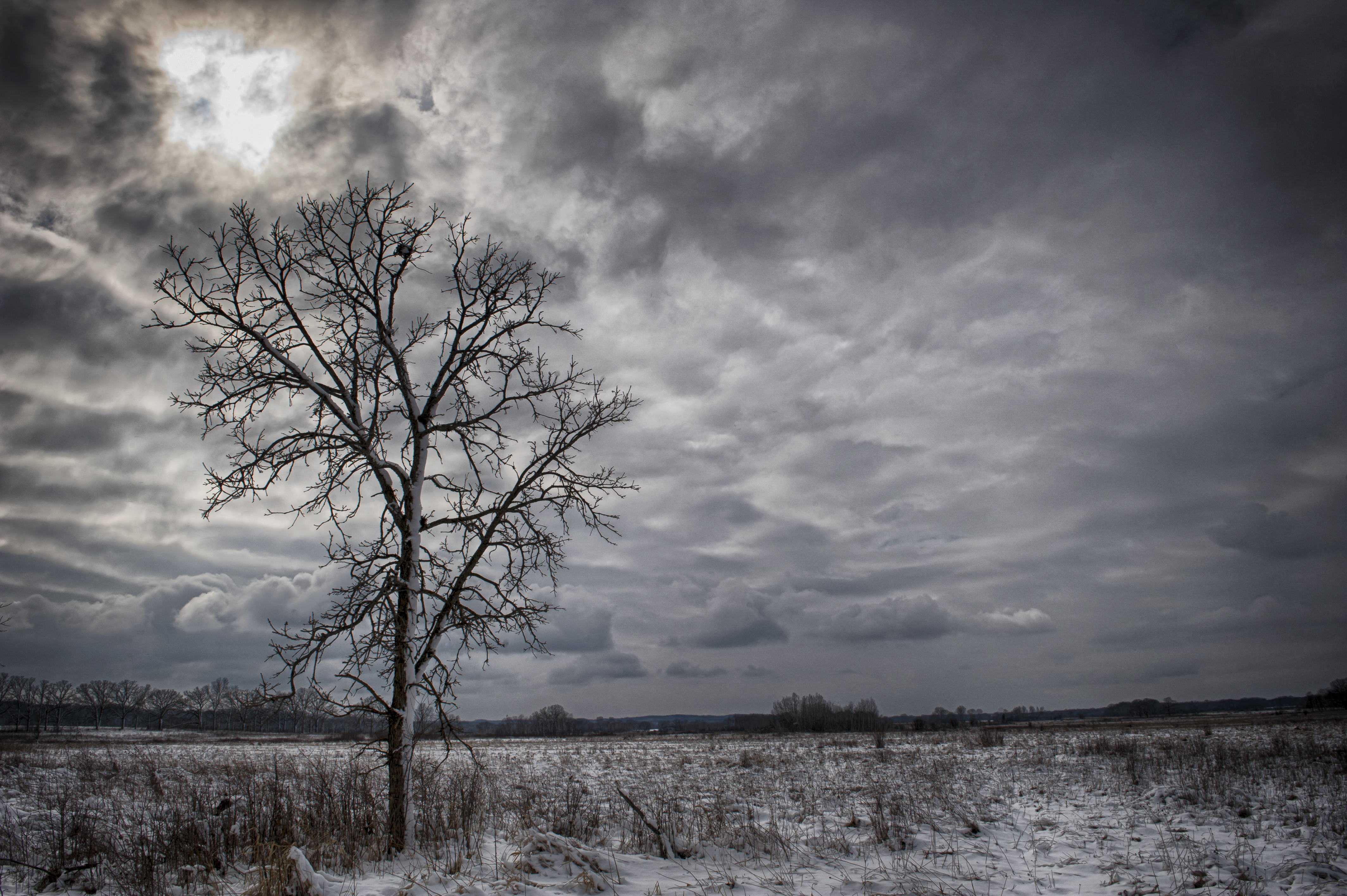
UFO...
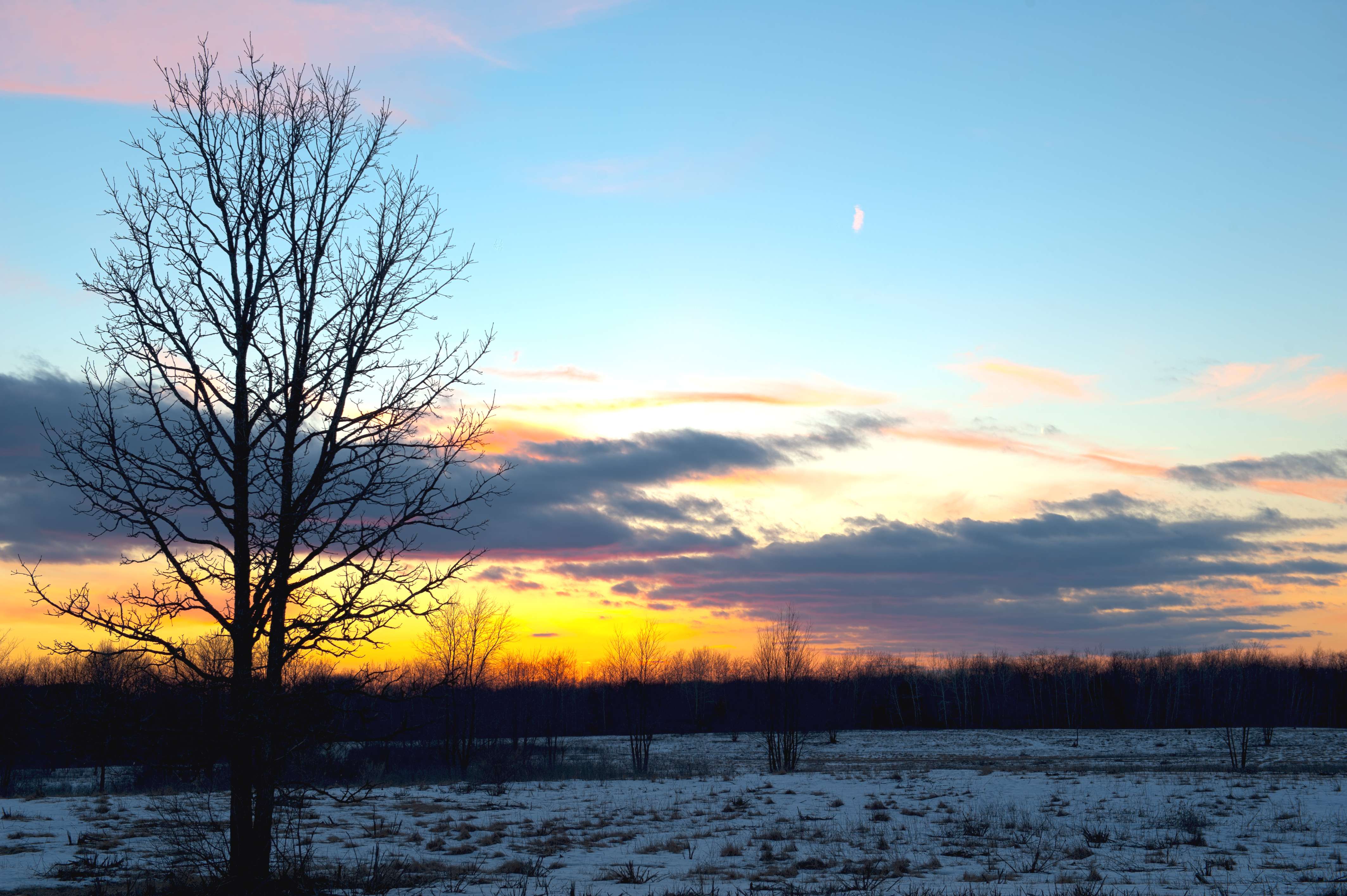
the edge of night

morning Mallow
Paint River
continue the cycle...
Chicagon Falls

pine needles
On the ice at Deer Lake
From the cabin- Deer lake
Topographic Map of Iron County, MI, USA
Find elevation by address:

Places in Iron County, MI, USA:
Places near Iron County, MI, USA:
541 Bates-amasa Rd
258 Bates-amasa Rd
N 6th St, Crystal Falls, MI, USA
Guardian Angels Church
Florence
US-2, Florence, WI, USA
Channing
Fence River Road
Florence
Norway Pine Ln, Florence, WI, USA
4158 Thompson Rd
Michigan 95
Michigan 95
Fern
Florence County
Fence
US-2, Florence, WI, USA
Fence
Ardens Road
Pine Mountain Resort
Recent Searches:
- Elevation of Warwick, RI, USA
- Elevation of Fern Rd, Whitmore, CA, USA
- Elevation of 62 Abbey St, Marshfield, MA, USA
- Elevation of Fernwood, Bradenton, FL, USA
- Elevation of Felindre, Swansea SA5 7LU, UK
- Elevation of Leyte Industrial Development Estate, Isabel, Leyte, Philippines
- Elevation of W Granada St, Tampa, FL, USA
- Elevation of Pykes Down, Ivybridge PL21 0BY, UK
- Elevation of Jalan Senandin, Lutong, Miri, Sarawak, Malaysia
- Elevation of Bilohirs'k