Elevation of Tom Meadows Road, Tom Meadows Rd, Kentucky, USA
Location: United States > Kentucky > Mccreary County > Strunk >
Longitude: -84.455593
Latitude: 36.644827
Elevation: 359m / 1178feet
Barometric Pressure: 97KPa
Elevation Map:
Satellite Map:
Related Photos:
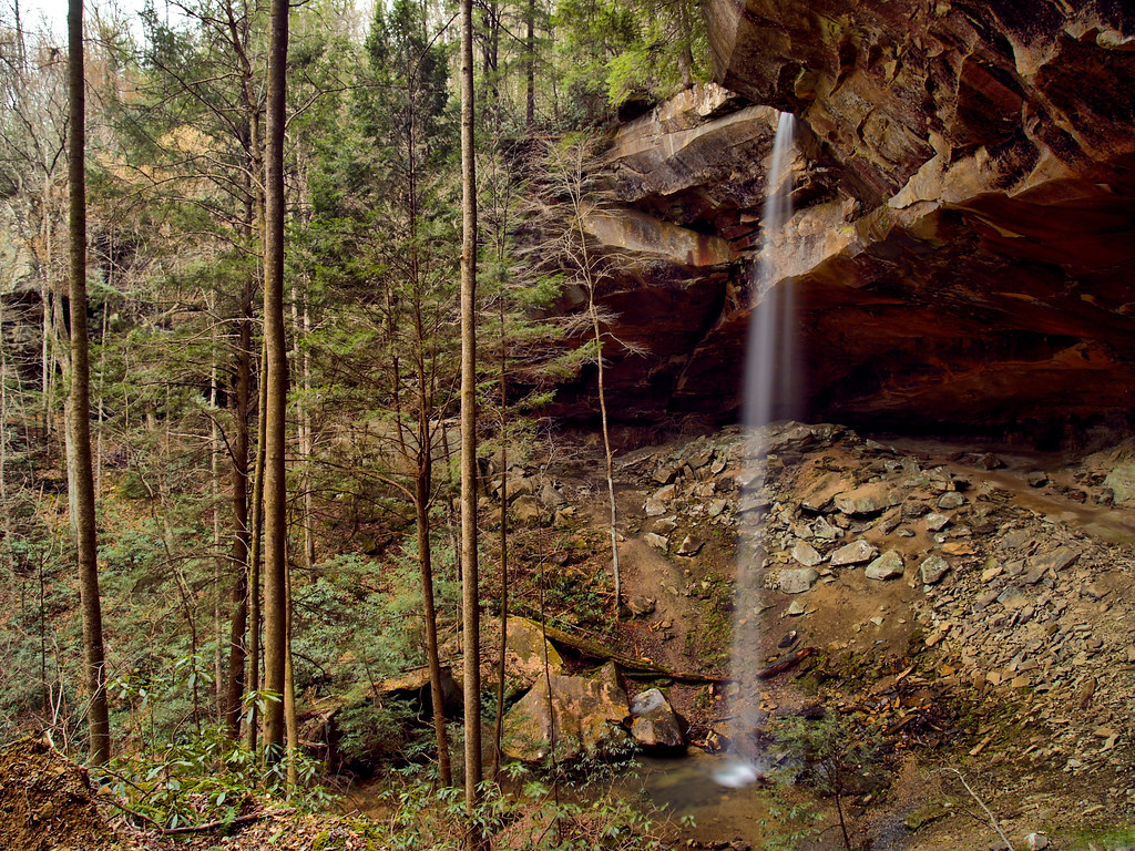
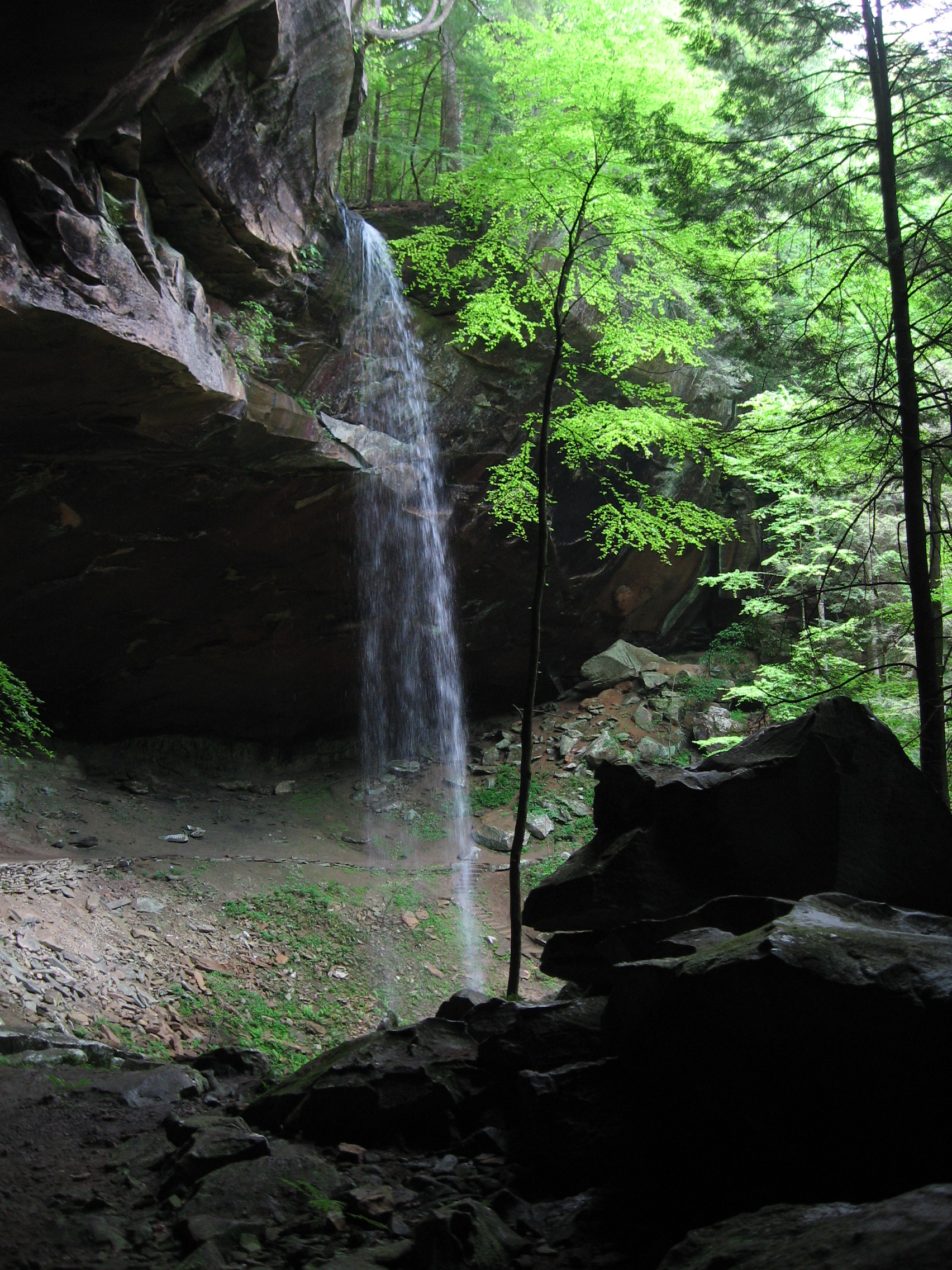
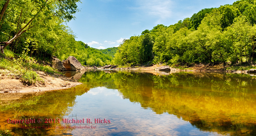
Yahoo falls
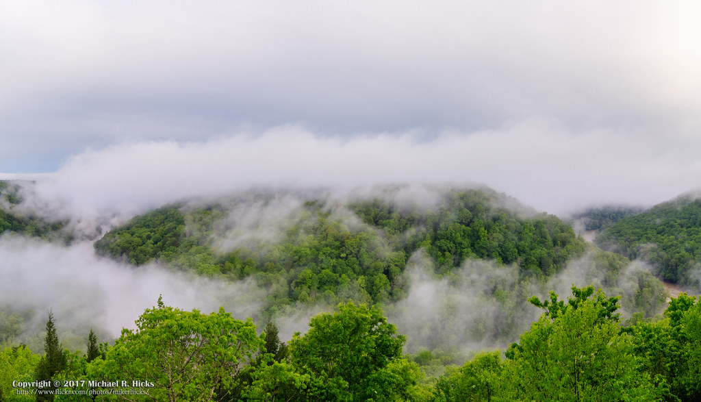
The Devil's Jump Overlook

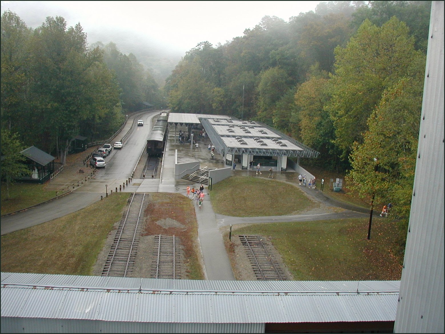
Kentucky & Tennessee Railway - Rock Creek, McCreary County, Kentucky

2018 10-17 1005-1 NS C40-9W-9797 S/B 143 Revilo-Stearns, KY
The biggest photo honor I've ever had
Overlook view of Blue Heron museum

Closer view

Ready to ride the rails with our travel mascot
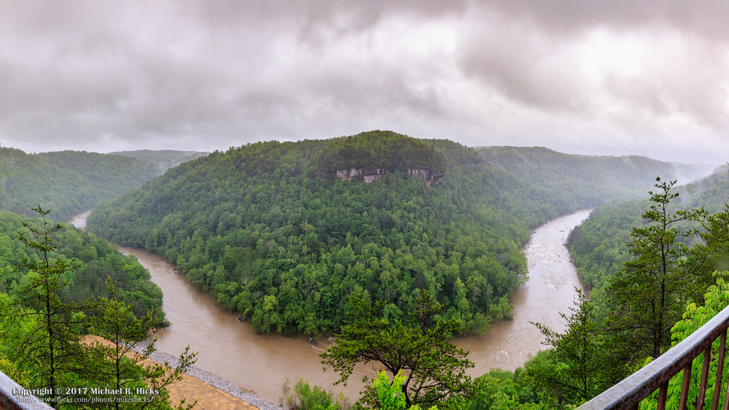
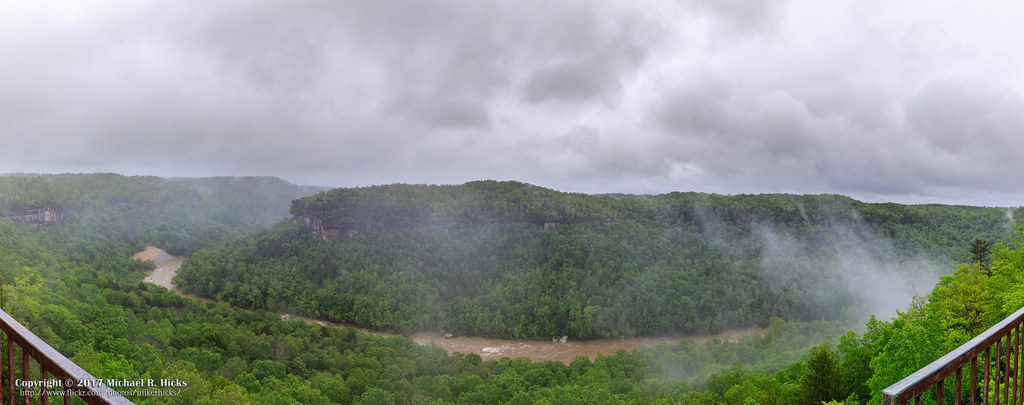
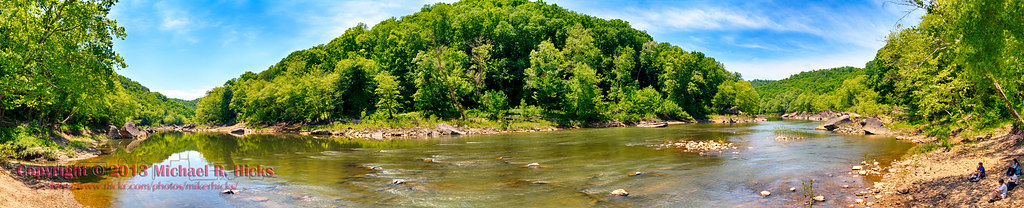
Devil's Jump Overlook Panorama
Byron Jorjorian Critiqued Photos
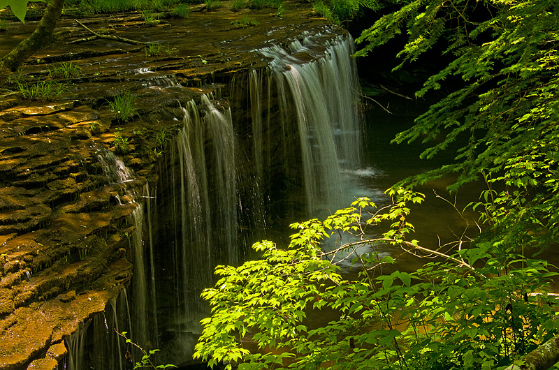
Princess Falls on Lick Creek

Don't it feel good, hey
Yahoooooooo!
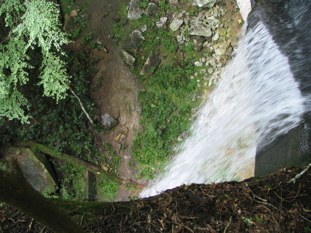
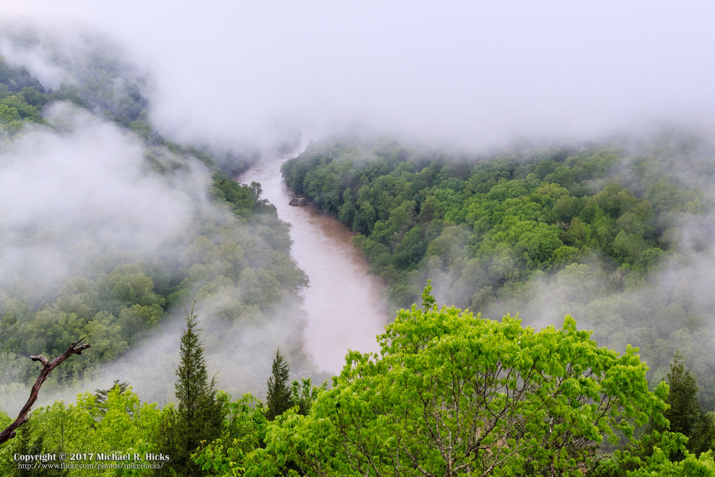
Yahoo Falls
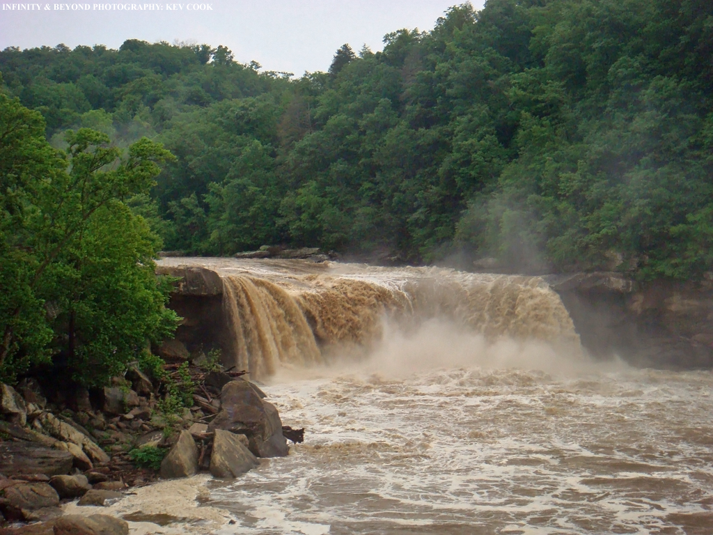
Cumberland Falls, Kentucky.
018_15.JPG
Blue Heron Overlook Panorama
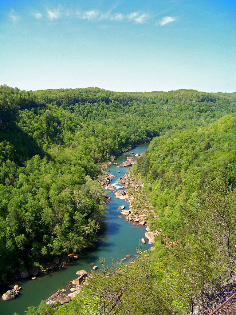
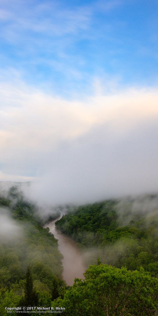
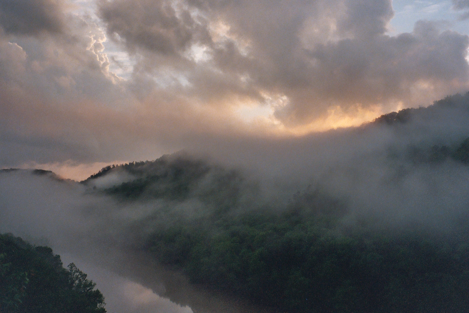
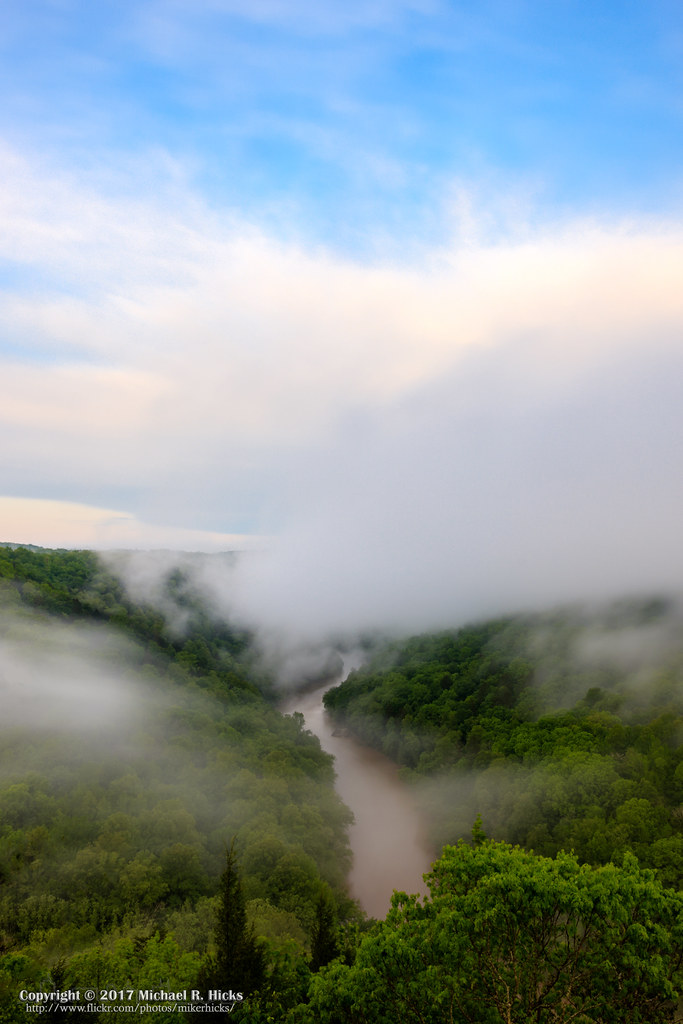
Big South Fork of the Cumberland River at Negro Creek (HDR/Panorama)
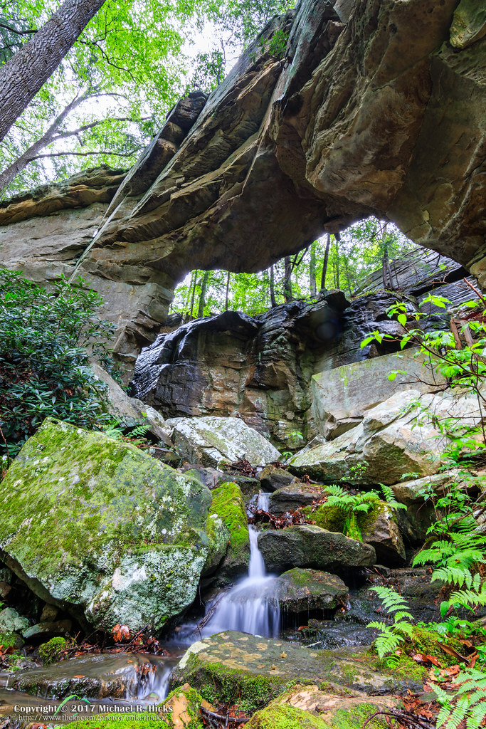
Split Bow Arch #7
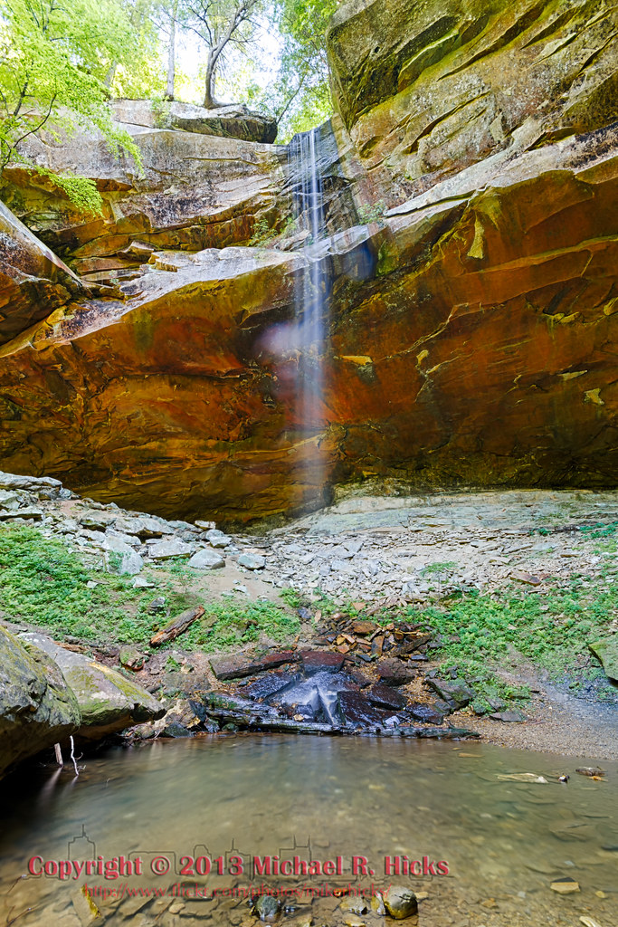
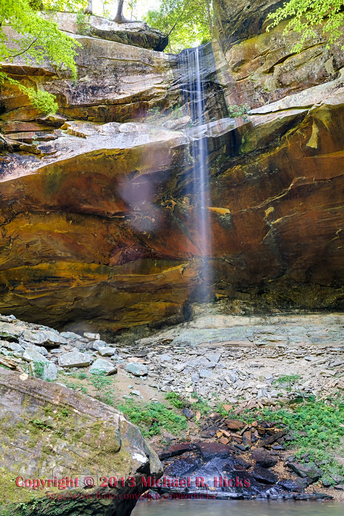
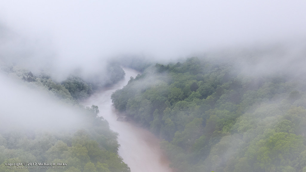
Yahoo Falls
Bear Creek Overlook #7
Bear Creek Overlook #4
Bear Creek Overlook #5
Bear Creek Overlook #9
Yahoo Falls, Kentucky
Big South Fork of the Cumberland River at Negro Creek (HDR)
At Blue Heron Overlook #8
Topographic Map of Tom Meadows Road, Tom Meadows Rd, Kentucky, USA
Find elevation by address:

Places near Tom Meadows Road, Tom Meadows Rd, Kentucky, USA:
Pine Knot
Strunk
Scott Hwy, Winfield, TN, USA
Mccreary County
Stearns
Leamond Richmond Rd, Pine Knot, KY, USA
75 Childers Ridge Rd
20 W Williamsburg St, Whitley City, KY, USA
Whitley City
George Overlook Road
Ridge Road
56 Cr-1311
20 Dogwood Rd
20 Dogwood Rd
Burnside, KY, USA
405 Alton Rd
Lizzie Sharp Road
General Burnside State Park
Burnett Hollow Rd, Monticello, KY, USA
130 W Lakeshore Dr
Recent Searches:
- Elevation of Leguwa, Nepal
- Elevation of County Rd, Enterprise, AL, USA
- Elevation of Kolchuginsky District, Vladimir Oblast, Russia
- Elevation of Shustino, Vladimir Oblast, Russia
- Elevation of Lampiasi St, Sarasota, FL, USA
- Elevation of Elwyn Dr, Roanoke Rapids, NC, USA
- Elevation of Congressional Dr, Stevensville, MD, USA
- Elevation of Bellview Rd, McLean, VA, USA
- Elevation of Stage Island Rd, Chatham, MA, USA
- Elevation of Shibuya Scramble Crossing, 21 Udagawacho, Shibuya City, Tokyo -, Japan