Elevation of Tolicha Peak, Nevada, USA
Location: United States > Nevada > Nye County >
Longitude: -116.80923
Latitude: 37.2685468
Elevation: 2095m / 6873feet
Barometric Pressure: 79KPa
Elevation Map:
Satellite Map:
Related Photos:

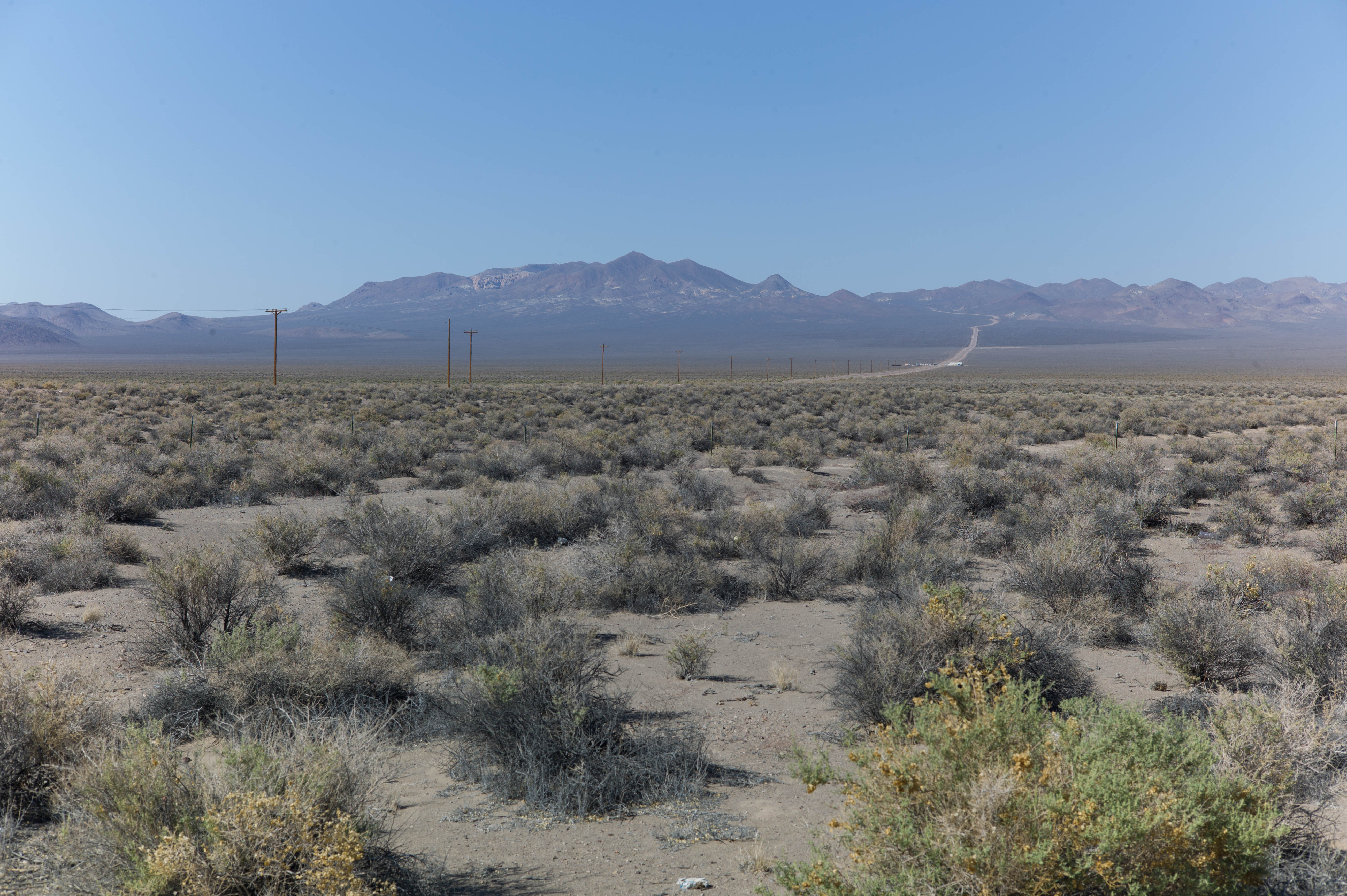
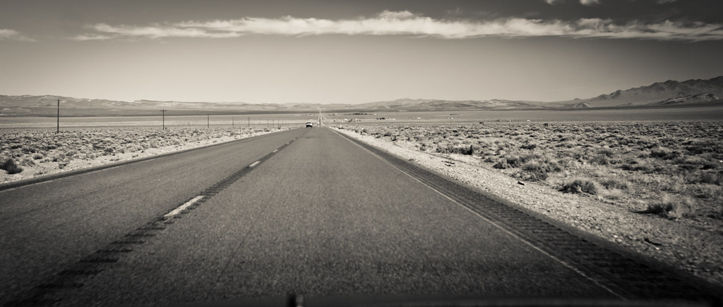
Death Valley

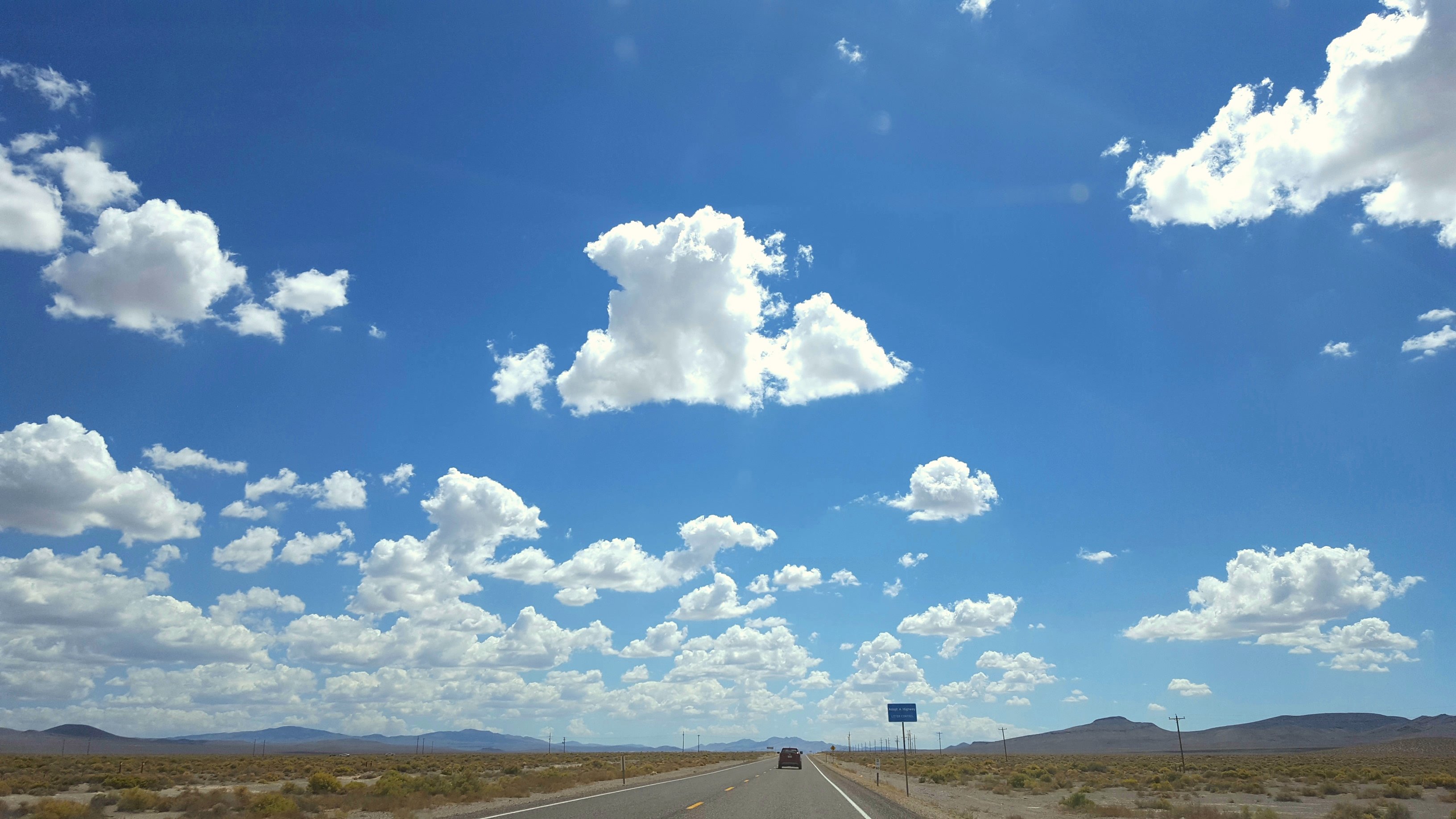
I can see for miles and miles, I can....2663
L1004409.jpg
Clouds over Arizona
Death Valley
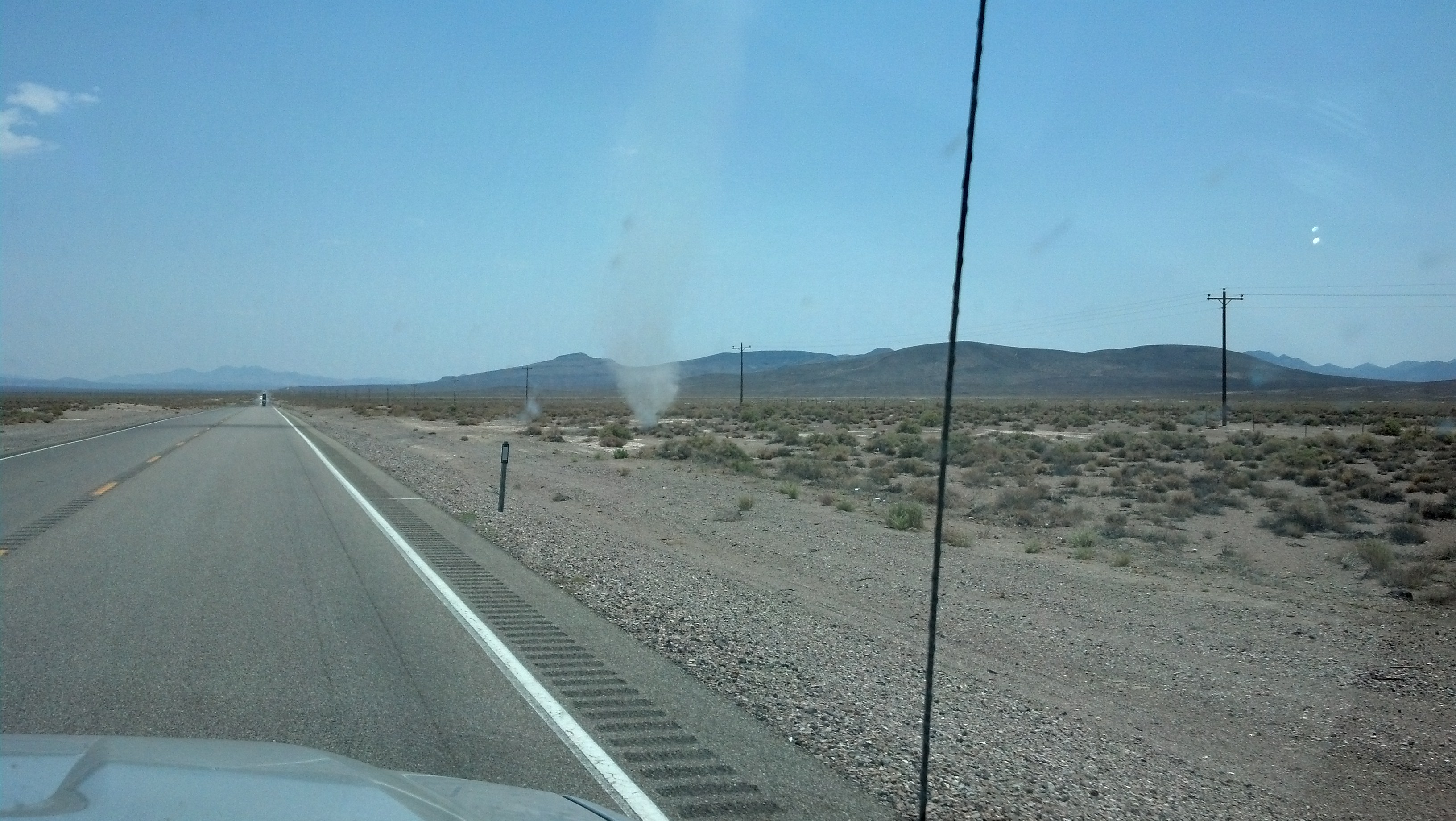
Dust Devil - Death Valley
20110817_i08_0239.jpg
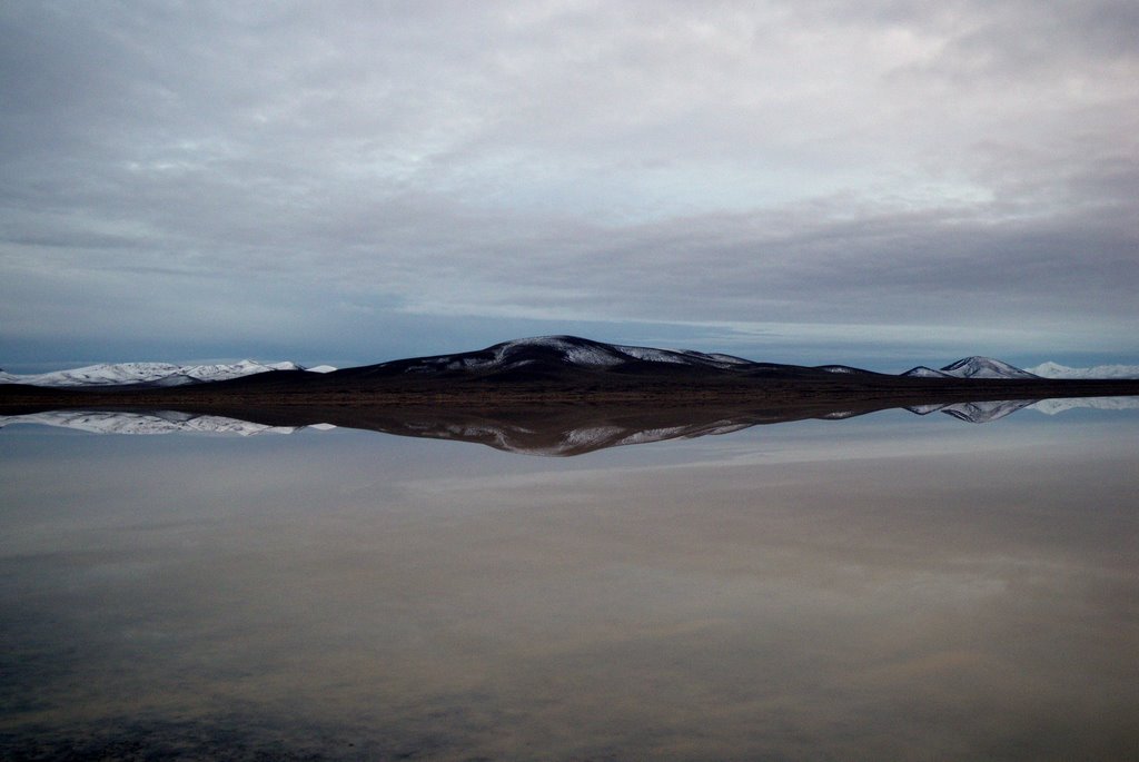
Winter Evening on the Playa

IMG_1535.JPG
Topographic Map of Tolicha Peak, Nevada, USA
Find elevation by address:

Places near Tolicha Peak, Nevada, USA:
Crystal Springs
Beatty
Goldfield
Beatty Road
Beatty Road
Beatty Junction
Lida
Stovepipe Wells
Esmeralda County
The Racetrack
Racetrack Playa
Silver Peak
Death Valley Road
Piper Peak
Mount Inyo
Waucoba Mountain
Squaw Peak
Burro Lane
Keynot Peak
Dyer
Recent Searches:
- Elevation of Tenjo, Cundinamarca, Colombia
- Elevation of Côte-des-Neiges, Montreal, QC H4A 3J6, Canada
- Elevation of Bobcat Dr, Helena, MT, USA
- Elevation of Zu den Ihlowbergen, Althüttendorf, Germany
- Elevation of Badaber, Peshawar, Khyber Pakhtunkhwa, Pakistan
- Elevation of SE Heron Loop, Lincoln City, OR, USA
- Elevation of Slanický ostrov, 01 Námestovo, Slovakia
- Elevation of Spaceport America, Co Rd A, Truth or Consequences, NM, USA
- Elevation of Warwick, RI, USA
- Elevation of Fern Rd, Whitmore, CA, USA