Elevation of Keynot Peak, California, USA
Location: United States > Bishop >
Longitude: -117.96230
Latitude: 36.7074324
Elevation: 2501m / 8205feet
Barometric Pressure: 75KPa
Elevation Map:
Satellite Map:
Related Photos:
Winter Light in Lone Pine
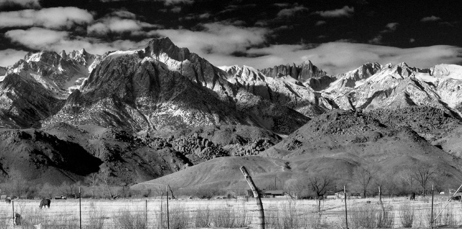
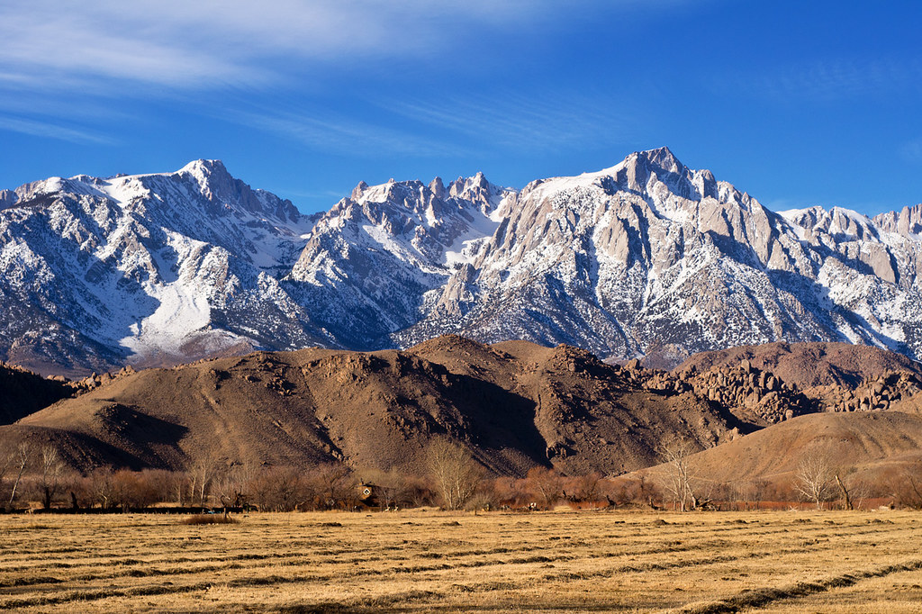
Alabama Hills and the Sierras

View from Lone Pine, CA
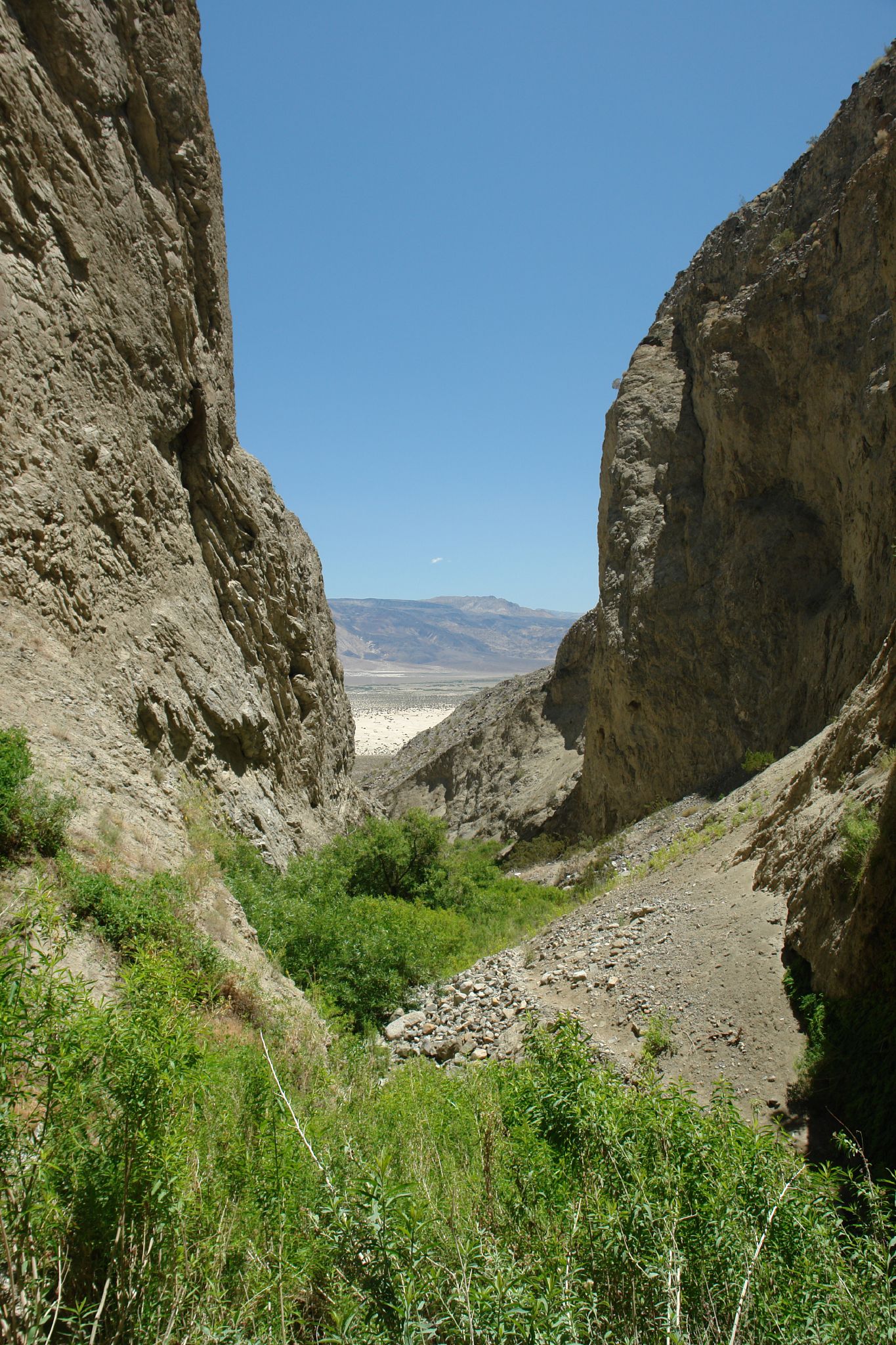
McElvoy Canyon
Postcard View -- Lone Pine, CA
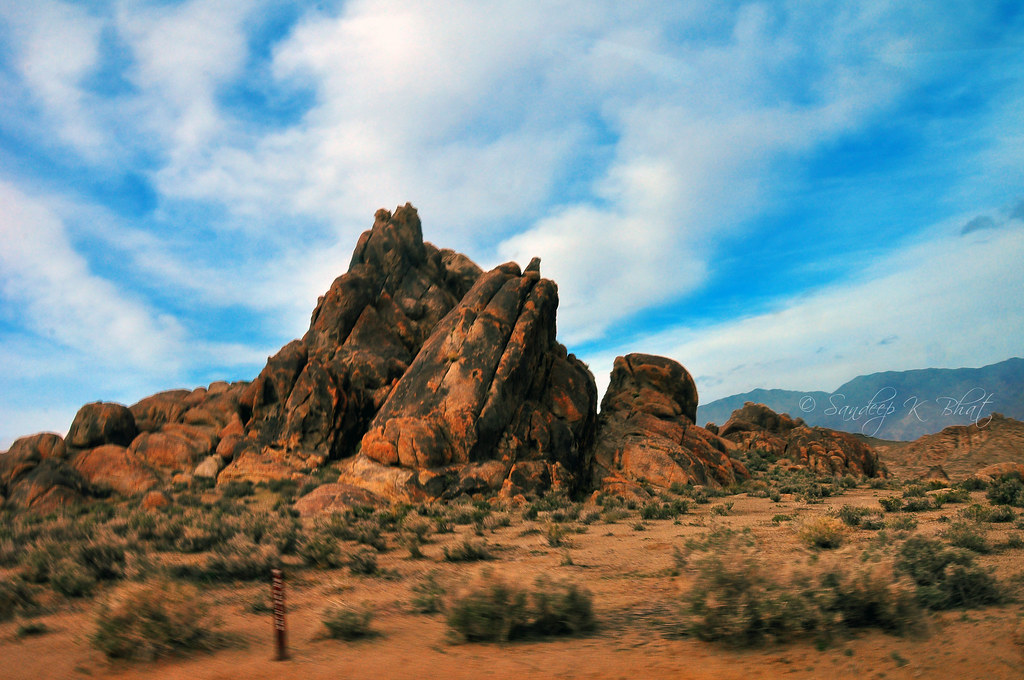
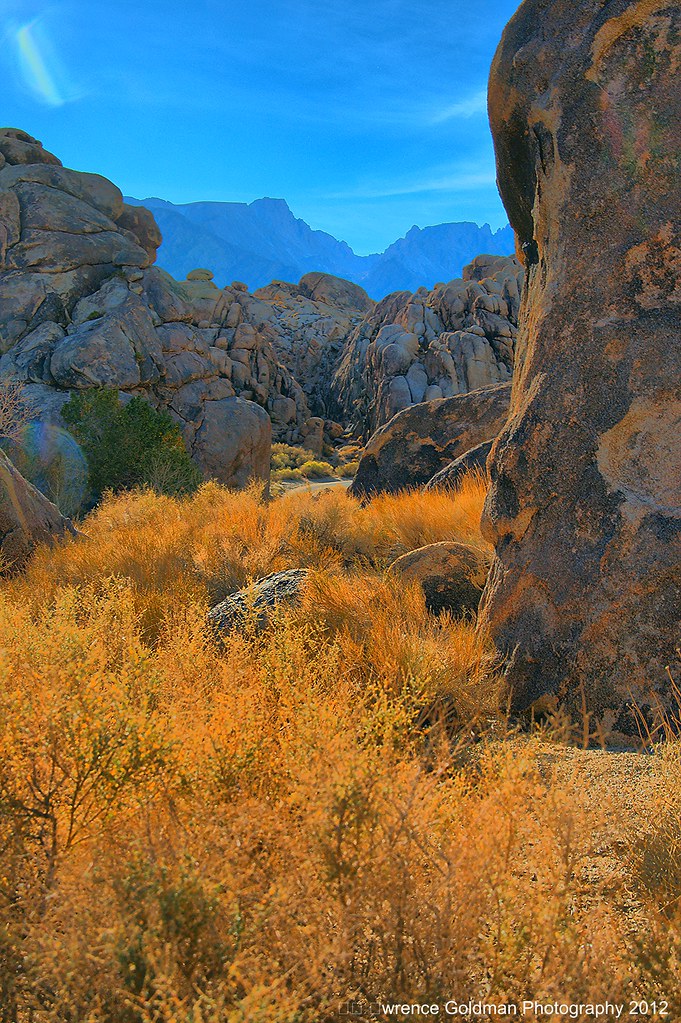
Alabama Hills and the Sierras
Dow Villa
Scenic view
Eastern Sierras, Alabama Hills seen from Lone Pine, CA Pan 3d
Moving Rocks of Movie Road
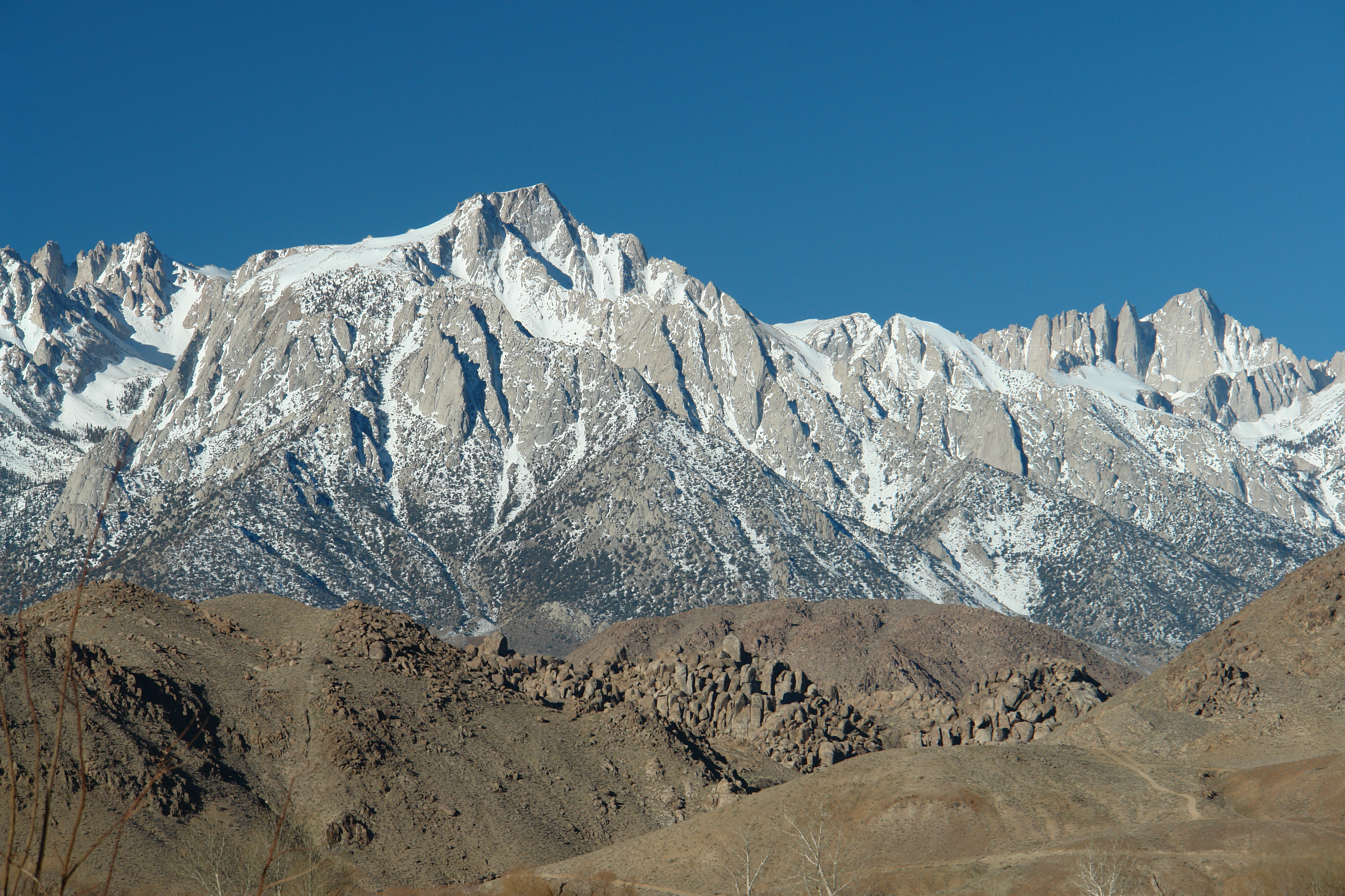
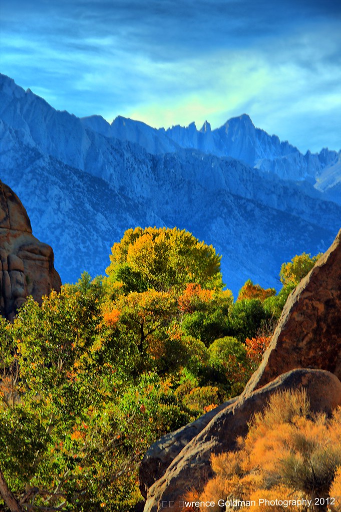
Sierra Nevada - Mount Whitney
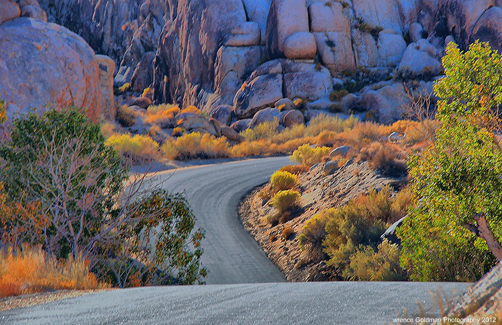
A Dip in the Road
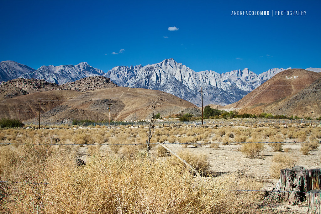
Alabama Hills and Sierras
Another Whitney View from Turtle Creek Road
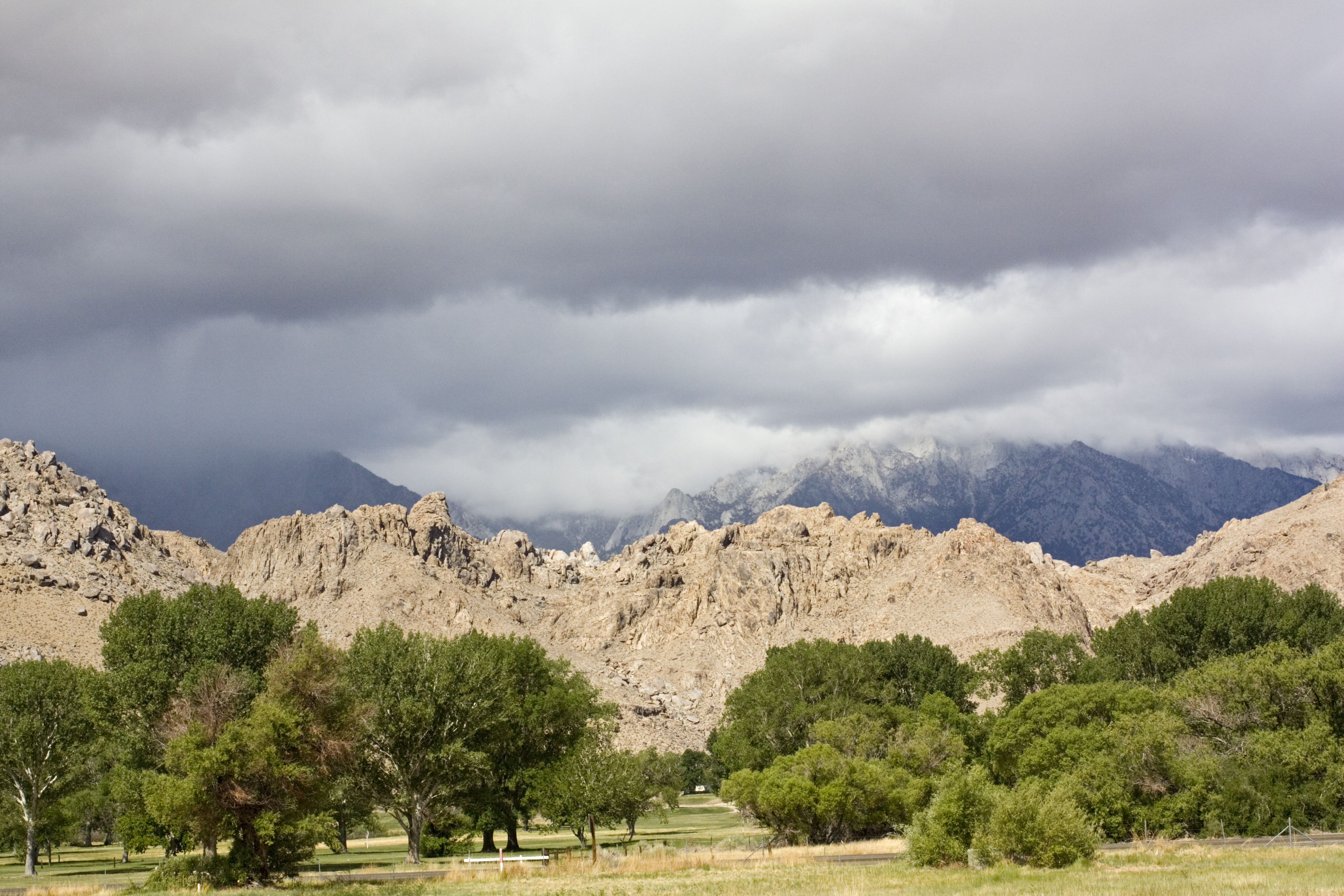
Dawn's Early Light
Late Afternoon View of Mt. Whitney
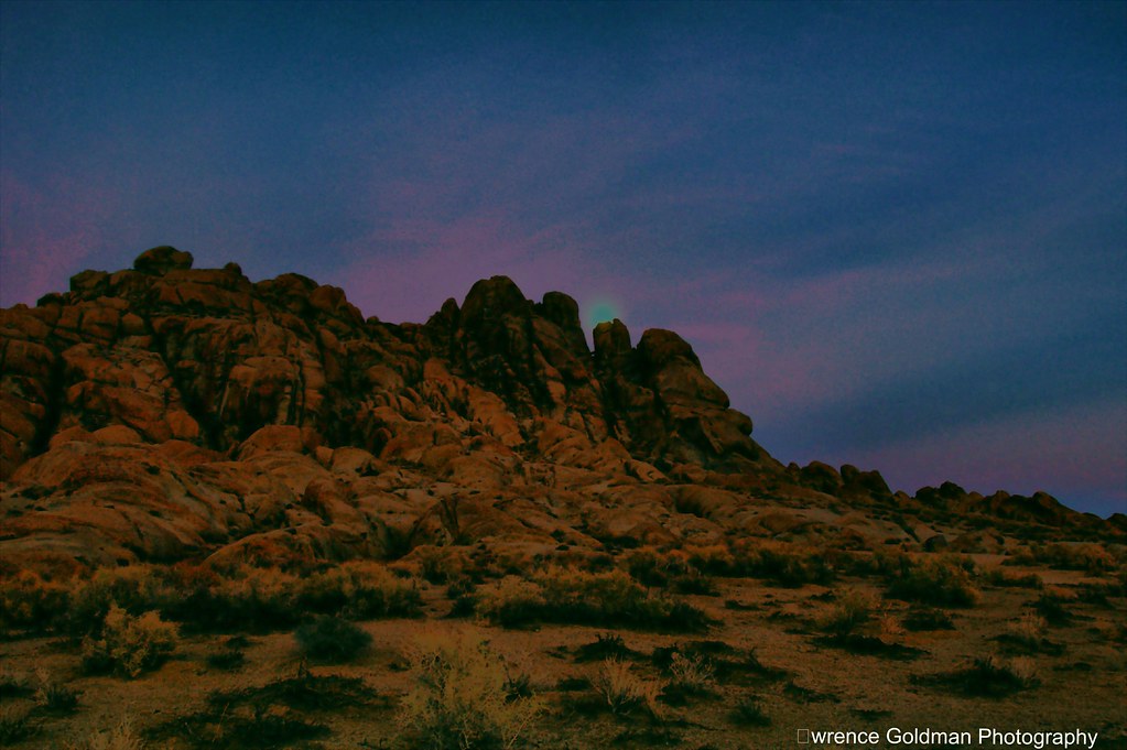
Moonrise Alabama Hills
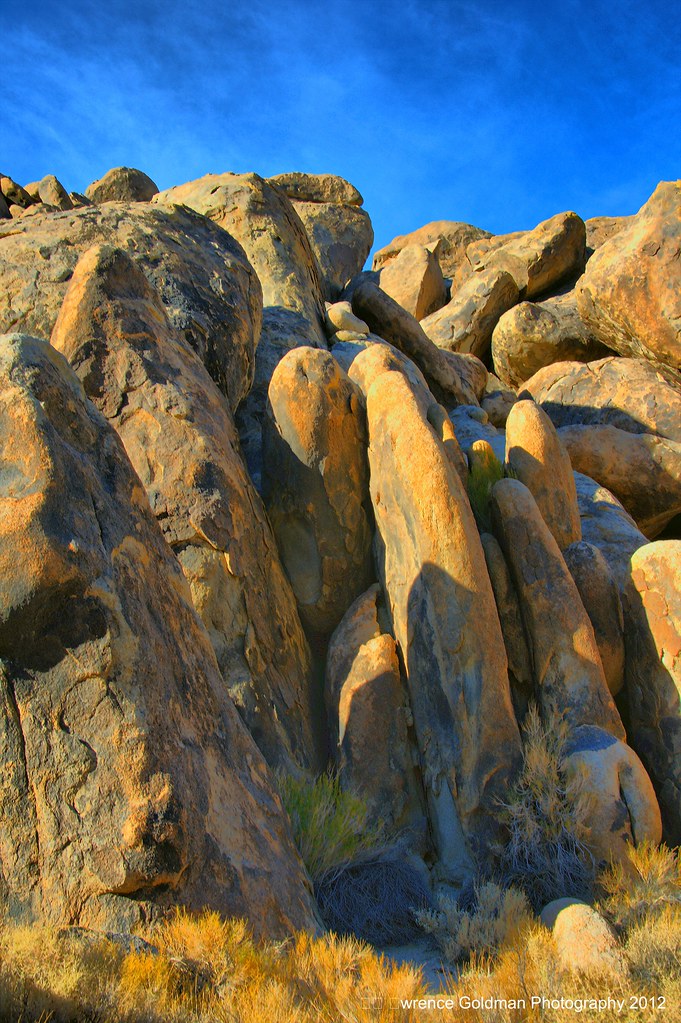
Turtle Creek Road Rock Formation
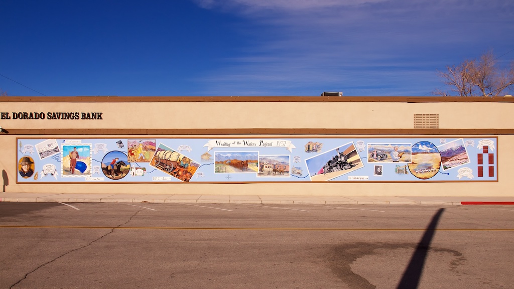
Lone Pine, CA, El Dorado Savings Bank, Wedding of the Waters Pageant of 1937 Mural
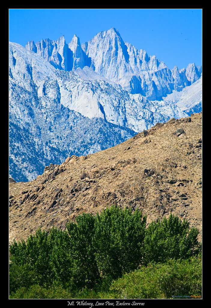
Mt. Whitney from Lone Pine

View from Lone Pine, CA
Topographic Map of Keynot Peak, California, USA
Find elevation by address:

Places near Keynot Peak, California, USA:
Manzanar
Lone Pine
401 N Main St
310 S Main St
Usfs Mt. Whitney Ranger Station
Shahar Ave, Lone Pine, CA, USA
Mount Inyo
Waucoba Mountain
Squaw Peak
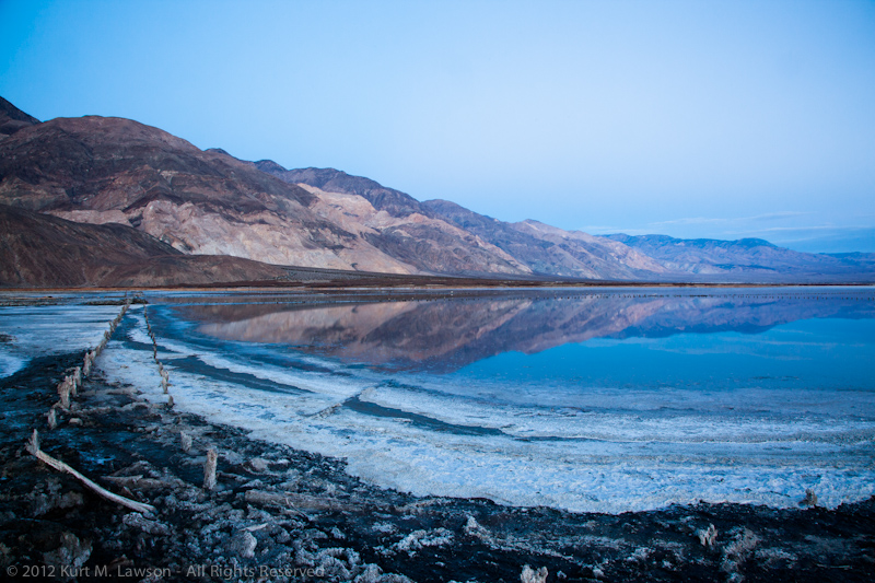
Racetrack Playa
The Racetrack
Death Valley Road
Stovepipe Wells
Lida
Burro Lane
Dyer
Piper Peak
Beatty Road
Beatty Road
Beatty Junction
Recent Searches:
- Elevation of Corso Fratelli Cairoli, 35, Macerata MC, Italy
- Elevation of Tallevast Rd, Sarasota, FL, USA
- Elevation of 4th St E, Sonoma, CA, USA
- Elevation of Black Hollow Rd, Pennsdale, PA, USA
- Elevation of Oakland Ave, Williamsport, PA, USA
- Elevation of Pedrógão Grande, Portugal
- Elevation of Klee Dr, Martinsburg, WV, USA
- Elevation of Via Roma, Pieranica CR, Italy
- Elevation of Tavkvetili Mountain, Georgia
- Elevation of Hartfords Bluff Cir, Mt Pleasant, SC, USA