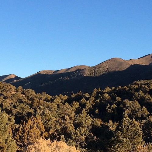
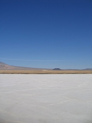
Elevation of Silver Peak, NV, USA
Location: United States > Nevada > Esmeralda County >
Longitude: -117.63481
Latitude: 37.7549309
Elevation: 1317m / 4321feet
Barometric Pressure: 86KPa
Related Photos:
Topographic Map of Silver Peak, NV, USA
Find elevation by address:

Places near Silver Peak, NV, USA:
Esmeralda County
Piper Peak
Lida
Burro Lane
Goldfield
Dyer
Death Valley Road
Squaw Peak
Waucoba Mountain
Mount Inyo
Tolicha Peak
Racetrack Playa
The Racetrack
Keynot Peak
Manzanar
Crystal Springs
Beatty
401 N Main St
Lone Pine
310 S Main St
Recent Searches:
- Elevation of Corso Fratelli Cairoli, 35, Macerata MC, Italy
- Elevation of Tallevast Rd, Sarasota, FL, USA
- Elevation of 4th St E, Sonoma, CA, USA
- Elevation of Black Hollow Rd, Pennsdale, PA, USA
- Elevation of Oakland Ave, Williamsport, PA, USA
- Elevation of Pedrógão Grande, Portugal
- Elevation of Klee Dr, Martinsburg, WV, USA
- Elevation of Via Roma, Pieranica CR, Italy
- Elevation of Tavkvetili Mountain, Georgia
- Elevation of Hartfords Bluff Cir, Mt Pleasant, SC, USA


