Elevation map of Tivaouane, Senegal
Location: Senegal > Thiès Region >
Longitude: -16.817837
Latitude: 15.0482502
Elevation: 60m / 197feet
Barometric Pressure: 101KPa
Elevation Map:
Satellite Map:
Related Photos:

Mine tailings near Mboro

Mine tailings near Mboro

Sandpich.
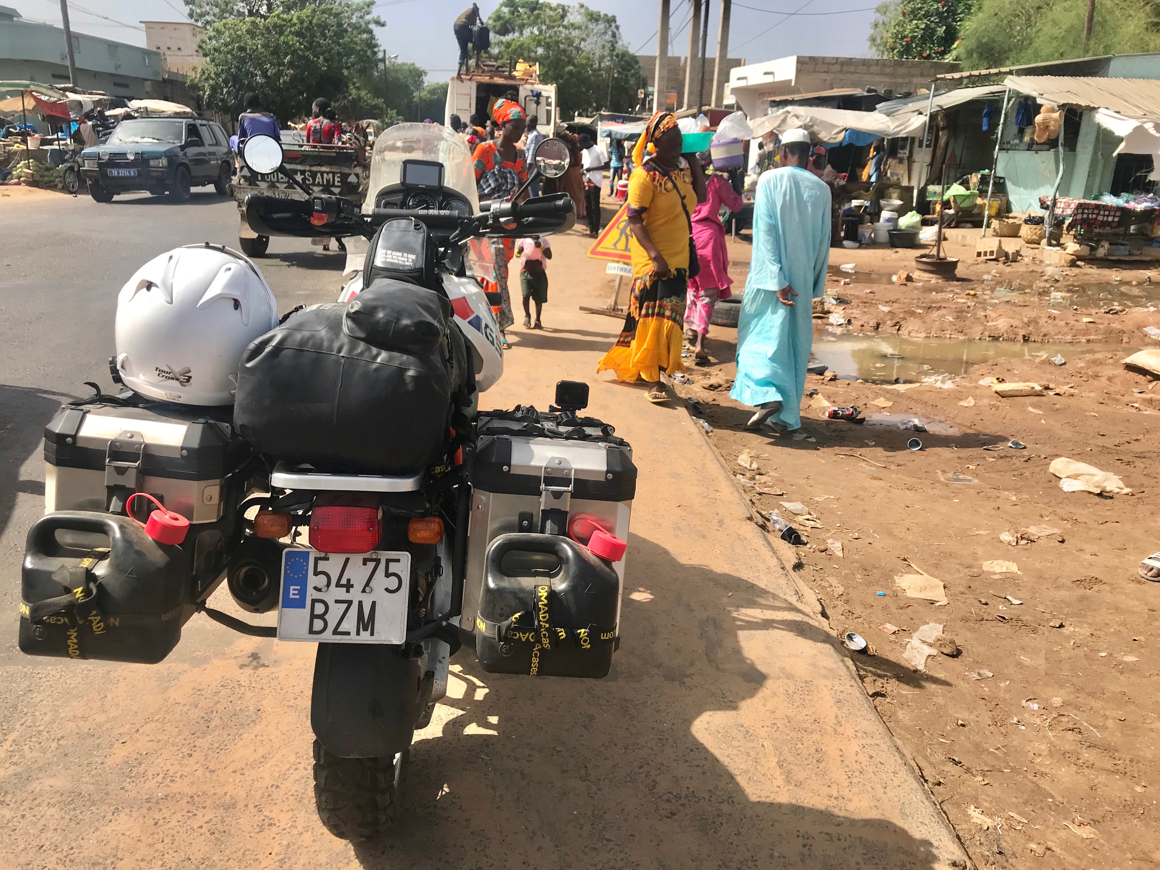
BMW R1150GS
20130523-IMG_2335

20130424-DSC_8448

20130424-DSC_8447

20130424-DSC_8446

Day201-Home-130423

20130421-DSC_8433

20130421-DSC_8432

20130421-DSC_8430

Mercedieselocops.

H3PO4 / H2SO4

Baobab Tree

Taxi brousse

Day201-Face-130523

Day169-Face-130421

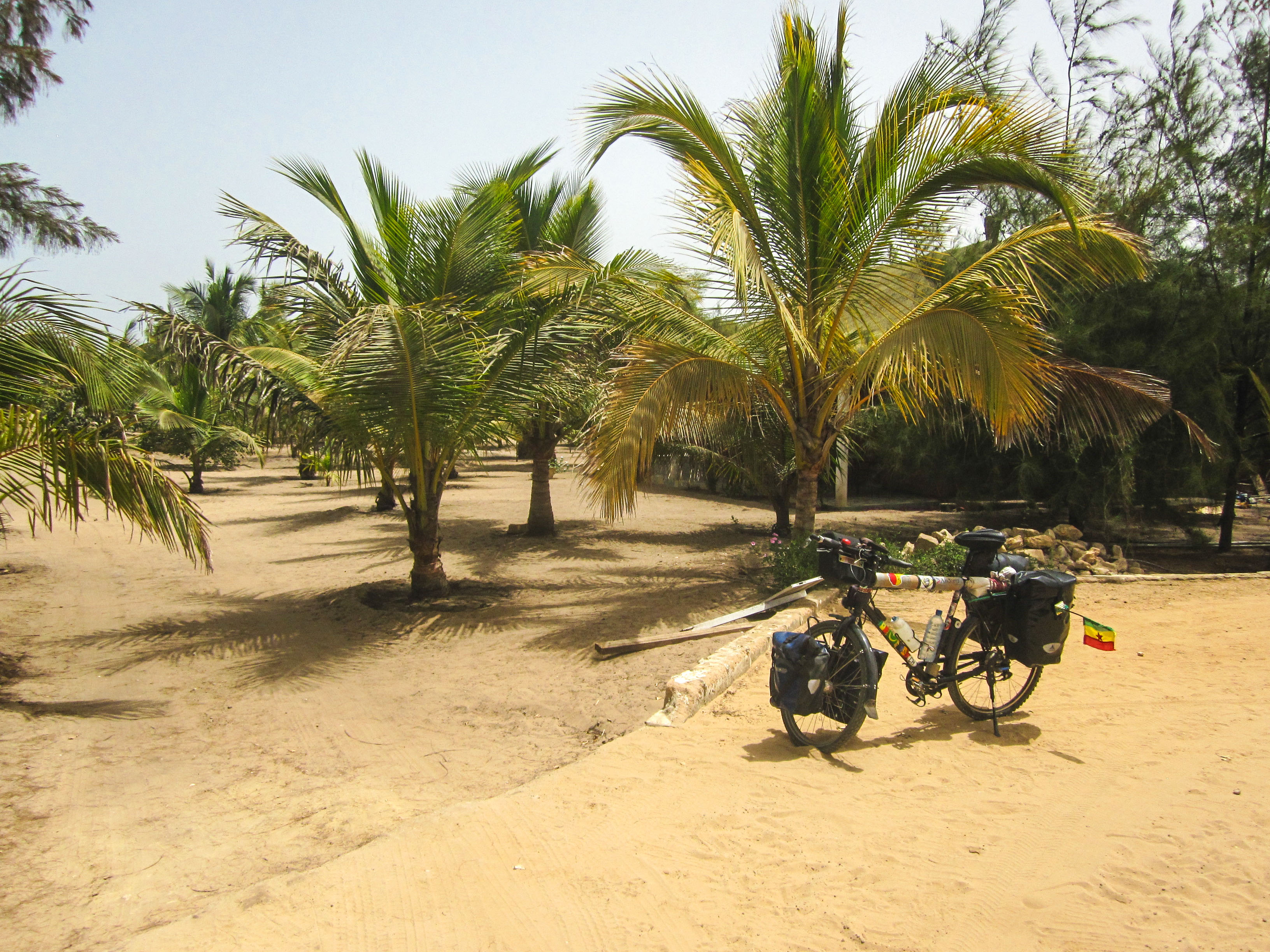
Day169-Bike-130421
Topographic Map of Tivaouane, Senegal
Find elevation by address:

Places in Tivaouane, Senegal:
Places near Tivaouane, Senegal:
Recent Searches:
- Elevation of Suffield, AB T0J 2N0, Canada
- Elevation of Coan West, Coon West, Co. Kilkenny, Ireland
- Elevation of 8 Rue Raoul Dufy, Collioure, France
- Elevation of 6 Muir St, Medowie NSW, Australia
- Elevation of Woodland Road, Woodland Rd, Lee, MA, USA
- Elevation of Turner Mill Rd, Talladega, AL, USA
- Elevation of Wylie Ridge Rd, New Cumberland, WV, USA
- Elevation of Dogwood Ln, Millsboro, DE, USA
- Elevation of Paseo Lucido, San Diego, CA, USA
- Elevation of W S, Orem, UT, USA