Elevation of Diourbel, Senegal
Location: Senegal > Diourbel Region >
Longitude: -16.205148
Latitude: 14.776901
Elevation: 29m / 95feet
Barometric Pressure: 101KPa
Elevation Map:
Satellite Map:
Related Photos:
2014-04-10 16.42.54

2014-04-10 14.50.59

2014-04-10 14.51.08

2014-04-10 14.51.14

2014-04-10 14.51.18

2014-04-10 14.52.22
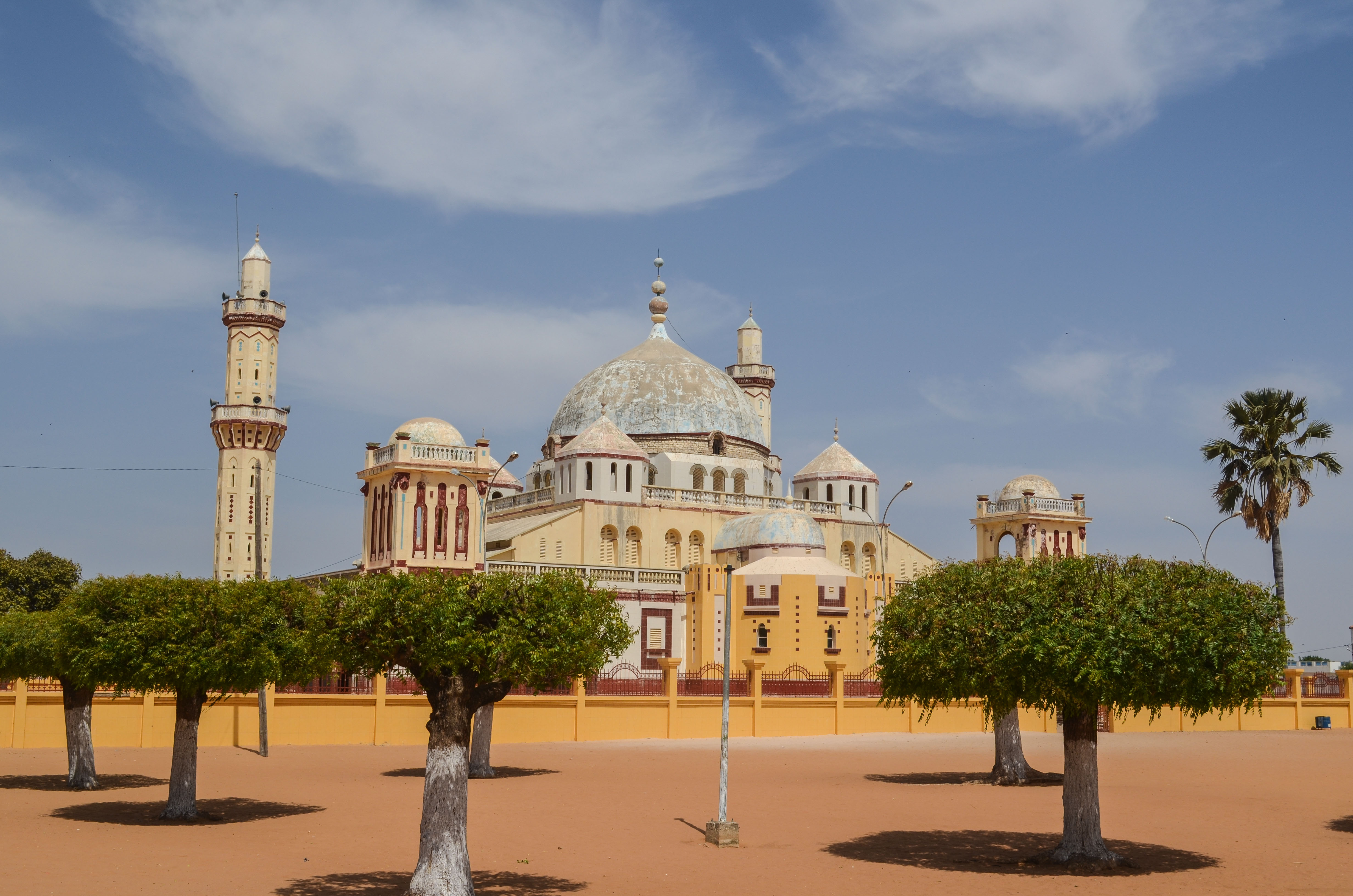
Mosque of Diourbel

Mosque of Diourbel

Mosque of Diourbel

20130417-IMG_2205

2014-04-10 11.41.23
2014-04-10 11.45.43

2014-04-10 12.22.21

2014-04-10 10.49.59

2014-04-10 10.50.01

2014-04-10 10.50.23

2014-04-10 11.20.29
Topographic Map of Diourbel, Senegal
Find elevation by address:

Places in Diourbel, Senegal:
Places near Diourbel, Senegal:
Recent Searches:
- Elevation of 6 Muir St, Medowie NSW, Australia
- Elevation of Woodland Road, Woodland Rd, Lee, MA, USA
- Elevation of Turner Mill Rd, Talladega, AL, USA
- Elevation of Wylie Ridge Rd, New Cumberland, WV, USA
- Elevation of Dogwood Ln, Millsboro, DE, USA
- Elevation of Paseo Lucido, San Diego, CA, USA
- Elevation of W S, Orem, UT, USA
- Elevation of Water Bird Wy, Punta Gorda, FL, USA
- Elevation of Teiskontie 8, Tampere, Finland
- Elevation of Pacific View Dr, Malibu, CA, USA