Elevation map of Diourbel Region, Senegal
Location: Senegal >
Longitude: -16.252214
Latitude: 14.7283085
Elevation: 12m / 39feet
Barometric Pressure: 101KPa
Elevation Map:
Satellite Map:
Related Photos:
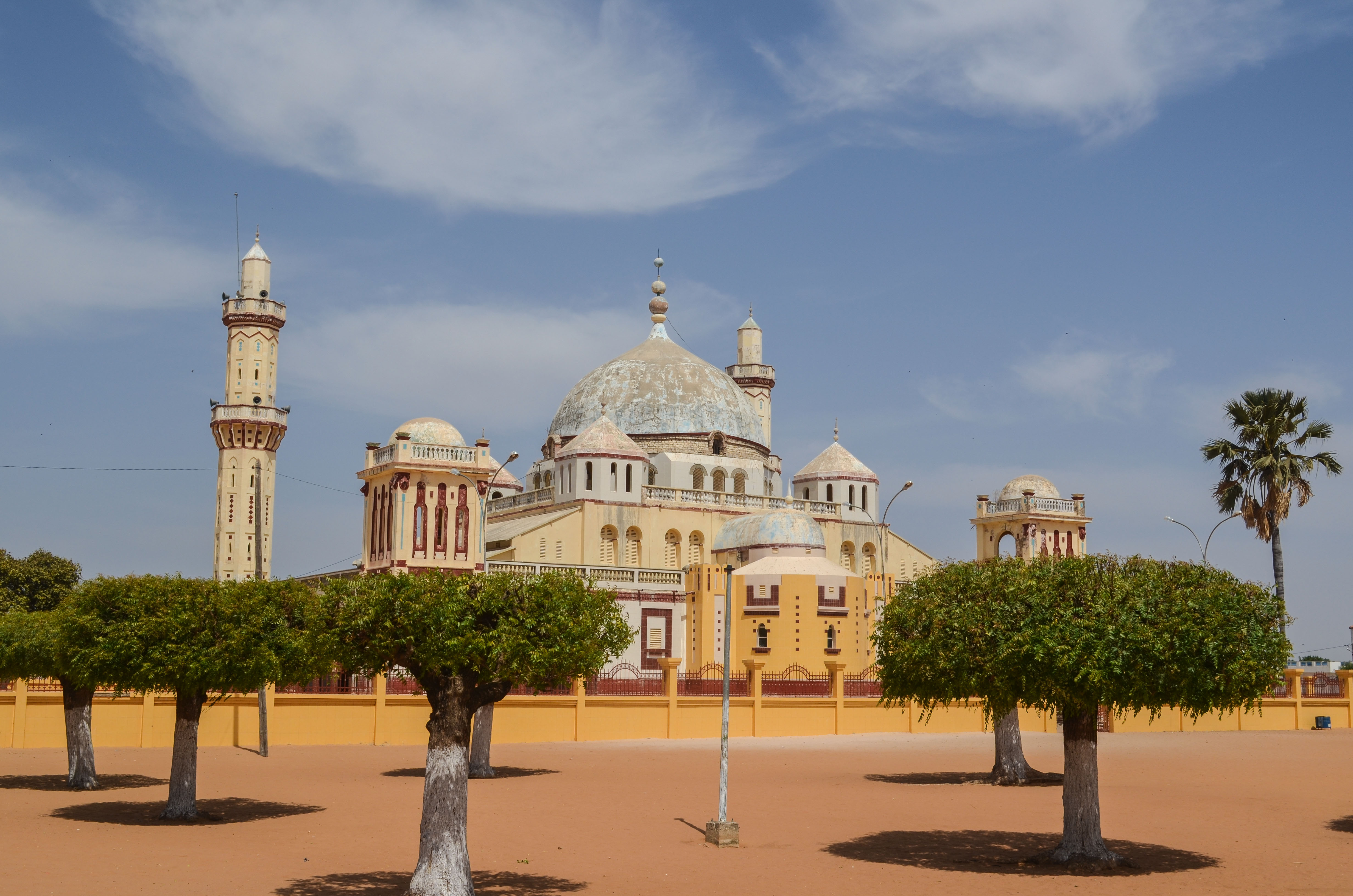
Mosque of Diourbel

Mosque of Diourbel

Mosque of Diourbel
2014-04-10 16.42.54

2014-04-10 14.50.59

2014-04-10 14.51.08

2014-04-10 14.51.14

2014-04-10 14.51.18

2014-04-10 14.52.22

Baobab alley

20130417-DSC_8367

20130417-DSC_8365

20130417-IMG_2205
Topographic Map of Diourbel Region, Senegal
Find elevation by address:

Places in Diourbel Region, Senegal:
Places near Diourbel Region, Senegal:
Recent Searches:
- Elevation of Panther Dr, Maggie Valley, NC, USA
- Elevation of Jais St - Wadi Shehah - Ras al Khaimah - United Arab Emirates
- Elevation of Shawnee Avenue, Shawnee Ave, Easton, PA, USA
- Elevation of Scenic Shore Dr, Kingwood Area, TX, USA
- Elevation of W Prive Cir, Delray Beach, FL, USA
- Elevation of S Layton Cir W, Layton, UT, USA
- Elevation of F36W+3M, Mussoorie, Uttarakhand, India
- Elevation of Fairland Ave, Fairhope, AL, USA
- Elevation of Sunset Dr, Richmond, VA, USA
- Elevation of Grodna District, Hrodna Region, Belarus