Elevation of Thuckanaickenpalayam, Tamil Nadu, India
Location: India > Tamil Nadu > Erode >
Longitude: 77.38699
Latitude: 11.5070177
Elevation: 225m / 738feet
Barometric Pressure: 99KPa
Elevation Map:
Satellite Map:
Related Photos:
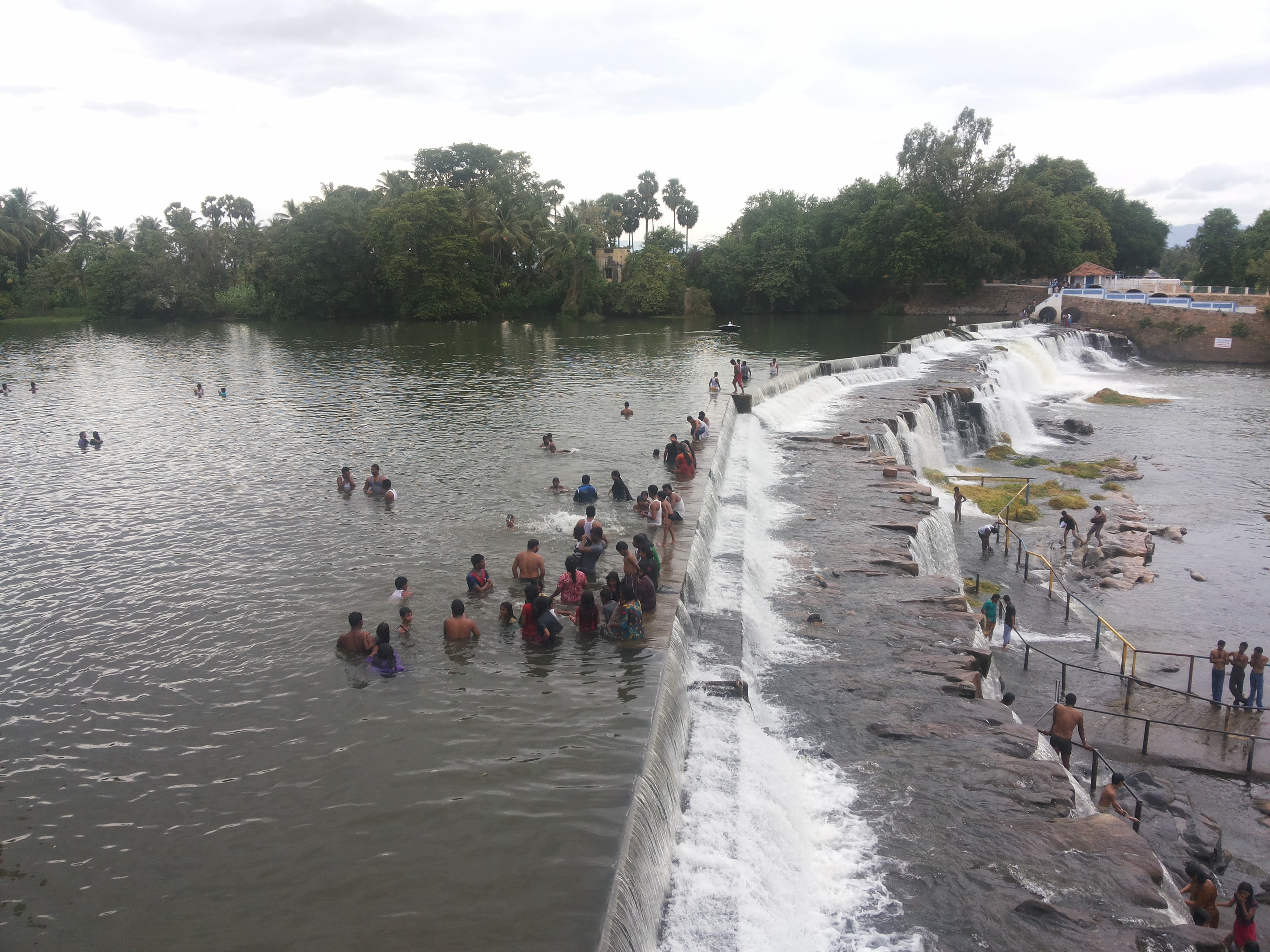
Kodiveri Dam
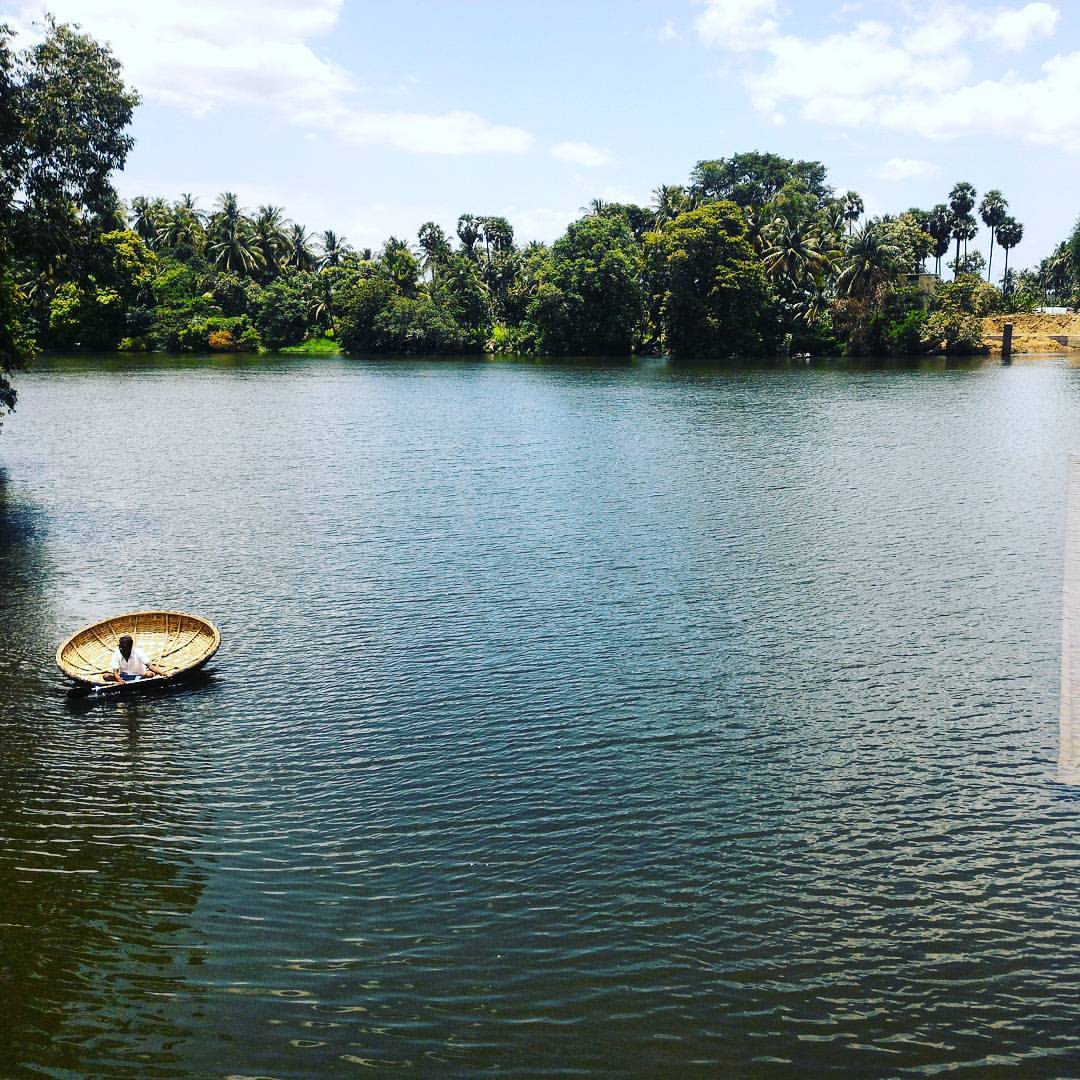
#kodiveri_dam #boat #rajasekar_photography #asuszenfone2 #water #daylight #parisal

Raampaali Way
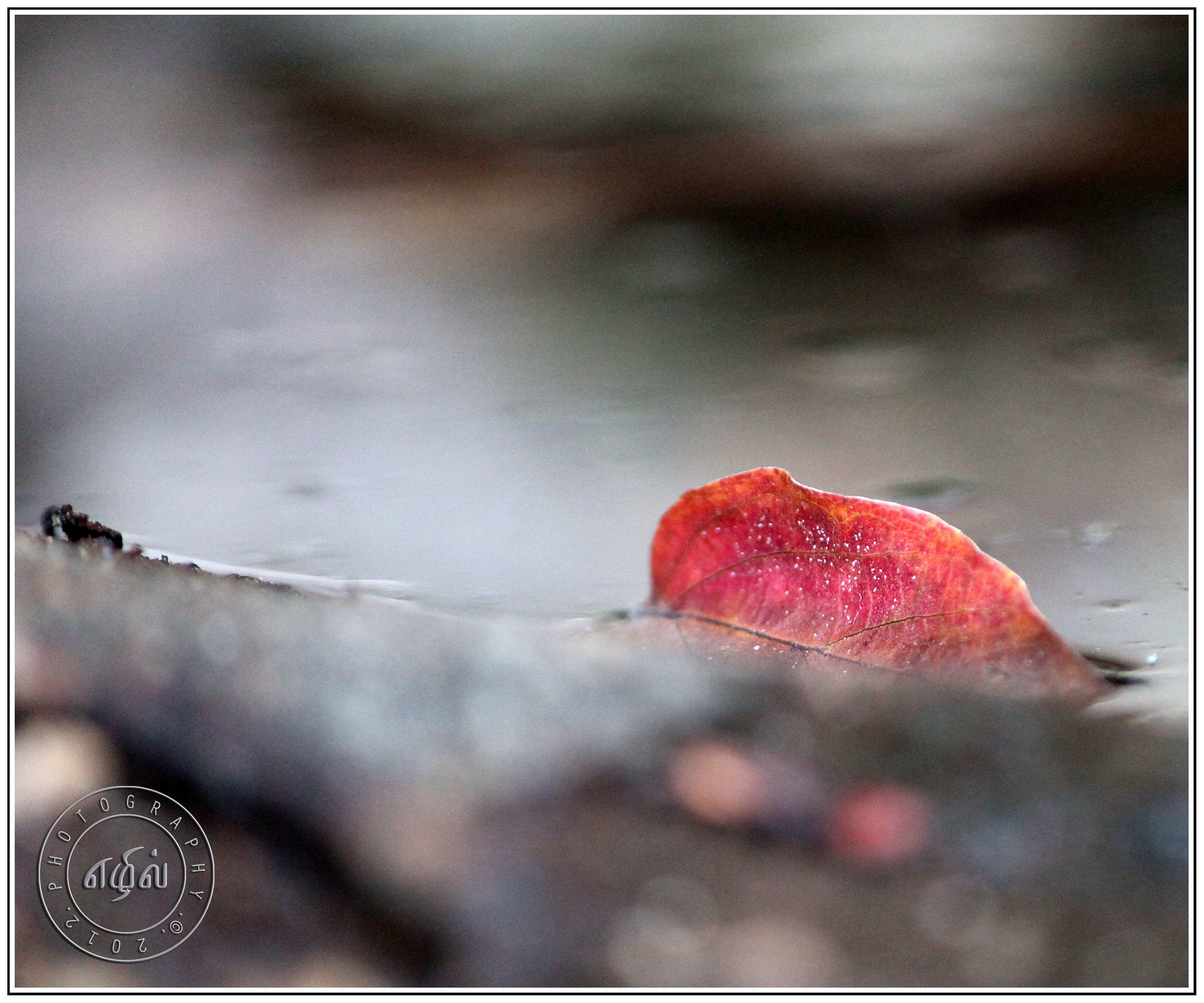
Autumn in India
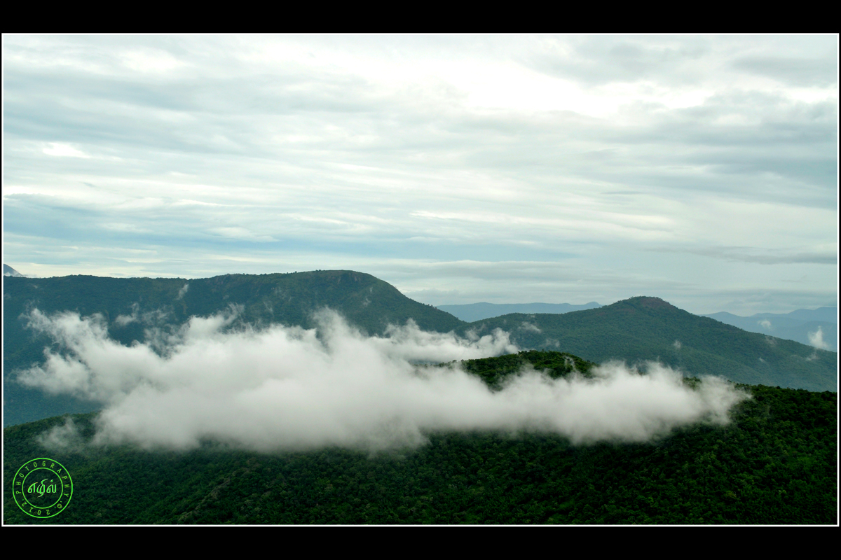
Mountain Clouds

Shola Forest

Prashanth of Sathyamangalam P V lodge. A very helpful guy....
2012-12-31 11.02.17

Purple Sunbird Nest

Indian Cobra
Topographic Map of Thuckanaickenpalayam, Tamil Nadu, India
Find elevation by address:

Places near Thuckanaickenpalayam, Tamil Nadu, India:
Gobichettipalayam
Erode
Manjala Naickenur
Anthiyur
Ponmudi
Bhavani
Palanipuram
139/92, Main Road
Perundurai
Guruvareddiyur
Erode
Ammapettai
Ammapet Police Station
Idappadi
Kolathur
Mettur
Mettur Dam
Mettur Dam
Konganapuram
Gopinatham Mystery Trails
Recent Searches:
- Elevation of Water Bird Wy, Punta Gorda, FL, USA
- Elevation of Teiskontie 8, Tampere, Finland
- Elevation of Pacific View Dr, Malibu, CA, USA
- Elevation of Thorpe Cir, Thousand Oaks, CA, USA
- Elevation of Eldorado do Sul - RS, Brazil
- Elevation of Eldorado do Sul - Parque Eldorado, Eldorado do Sul - RS, -, Brazil
- Elevation of 35 Governors Ln, Hilton Head Island, SC, USA
- Elevation of Orangevale, CA, USA
- Elevation of Doe Cir, Clinton, OH, USA
- Elevation of Narhe, Pune, Maharashtra, India