Elevation of Idappadi, Tamil Nadu, India
Location: India > Tamil Nadu > Salem >
Longitude: 77.8387867
Latitude: 11.5847632
Elevation: 209m / 686feet
Barometric Pressure: 99KPa
Elevation Map:
Satellite Map:
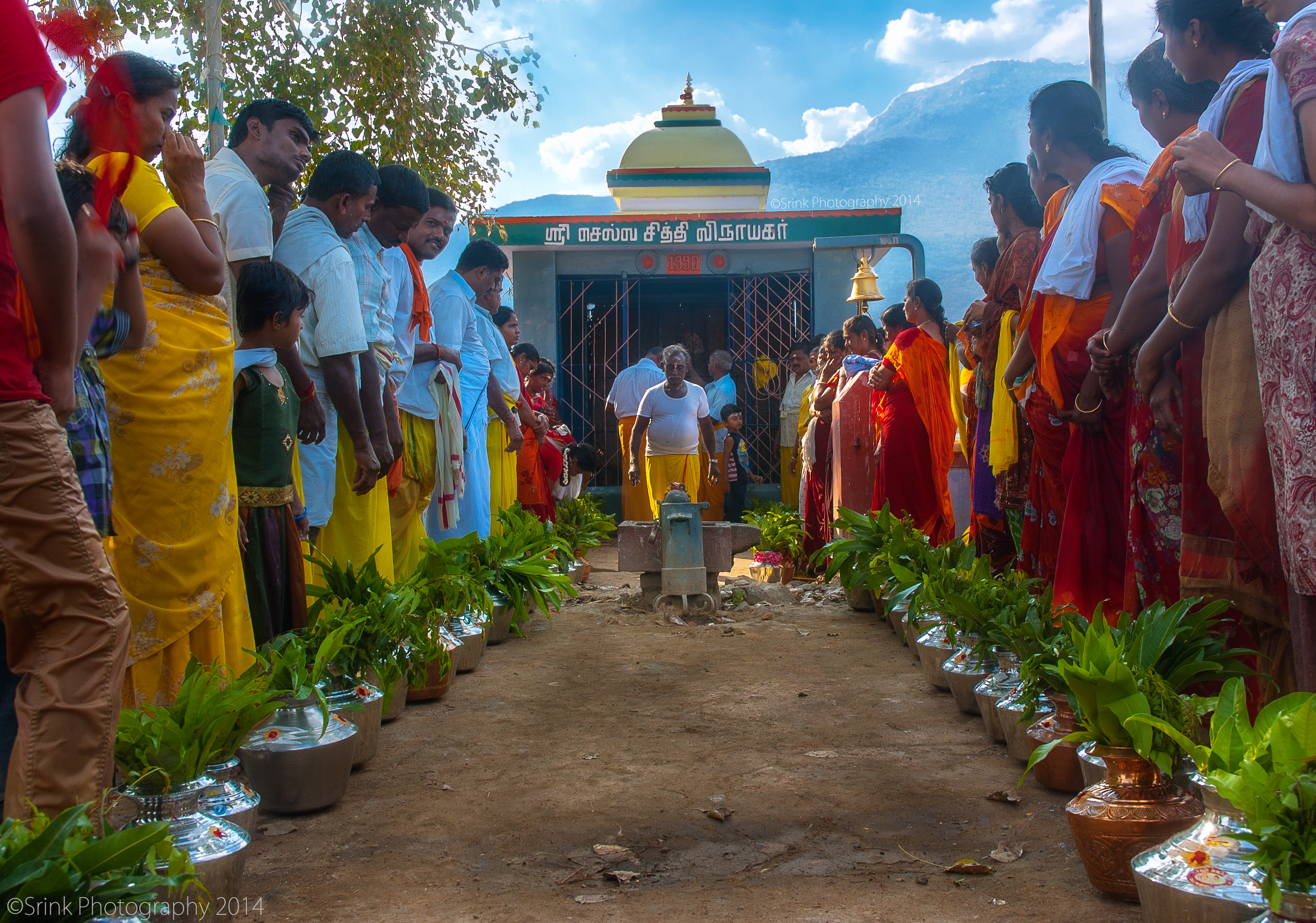
Related Photos:

symmetry


Divya anand
தீர்த்தக்குடம் | holy grail

jumper :D
2012-12-29_16h58m28s

AMLA FRUITING BRANCH.

AMLA LATERAL FB.

FLOWERING VEIN.

NELLI BHAVANISAGAR.
Topographic Map of Idappadi, Tamil Nadu, India
Find elevation by address:

Places near Idappadi, Tamil Nadu, India:
Konganapuram
Ammapet Police Station
Ammapettai
Guruvareddiyur
Mettur
Bhavani
Mettur Dam
Palanipuram
Mallasamudram
139/92, Main Road
Mettur Dam
Anthiyur
Omalur
Anna Nagar
Vennandur
Mecheri Bus Stand
Erode
Kolathur
Manjala Naickenur
Suramangalam
Recent Searches:
- Elevation of Groblershoop, South Africa
- Elevation of Power Generation Enterprises | Industrial Diesel Generators, Oak Ave, Canyon Country, CA, USA
- Elevation of Chesaw Rd, Oroville, WA, USA
- Elevation of N, Mt Pleasant, UT, USA
- Elevation of 6 Rue Jules Ferry, Beausoleil, France
- Elevation of Sattva Horizon, 4JC6+G9P, Vinayak Nagar, Kattigenahalli, Bengaluru, Karnataka, India
- Elevation of Great Brook Sports, Gold Star Hwy, Groton, CT, USA
- Elevation of 10 Mountain Laurels Dr, Nashua, NH, USA
- Elevation of 16 Gilboa Ln, Nashua, NH, USA
- Elevation of Laurel Rd, Townsend, TN, USA