Elevation of Ammapettai, Tamil Nadu, India
Location: India > Tamil Nadu > Erode >
Longitude: 77.7409162
Latitude: 11.6213431
Elevation: 184m / 604feet
Barometric Pressure: 99KPa
Elevation Map:
Satellite Map:
Related Photos:

symmetry

Divya anand
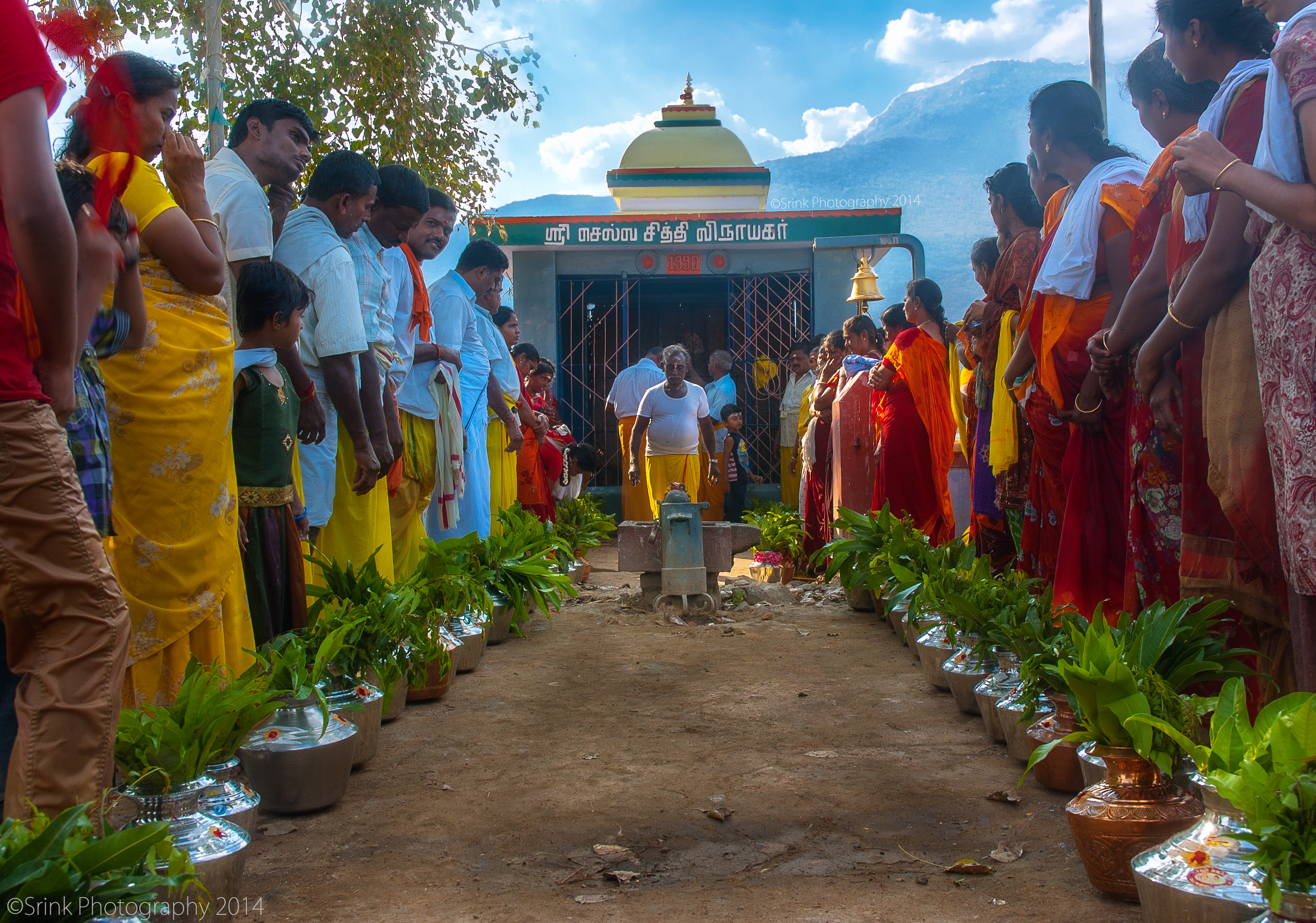
தீர்த்தக்குடம் | holy grail

jumper :D
Topographic Map of Ammapettai, Tamil Nadu, India
Find elevation by address:

Places near Ammapettai, Tamil Nadu, India:
Ammapet Police Station
Guruvareddiyur
Idappadi
Anthiyur
Konganapuram
Mettur
Mettur Dam
Bhavani
Palanipuram
139/92, Main Road
Manjala Naickenur
Mettur Dam
Kolathur
Erode
Erode
Mecheri Bus Stand
Mallasamudram
Omalur
Anna Nagar
Gobichettipalayam
Recent Searches:
- Elevation of Crystal Cir, Birmingham, AL, USA
- Elevation of N Railroad Ave, West Palm Beach, FL, USA
- Elevation of 55 Cassick Valley Rd, Wellfleet, MA, USA
- Elevation of Ironwood Dr, Minden, NV, USA
- Elevation of 高尾山口駅, Takaomachi, Hachioji, Tokyo -, Japan
- Elevation of 15 Victory Ave, Greenville, SC, USA
- Elevation of Kota Ternate Utara, Ternate City, North Maluku, Indonesia
- Elevation of Allon St, Oceanside, NY, USA
- Elevation of Carroll Creek Rd, Custer, SD, USA
- Elevation of Lust Road, Lust Rd, Florida, USA