Elevation of Thorne Bottom Rd, Lost City, WV, USA
Location: United States > West Virginia > Hardy County > Lost River > Lost City >

Longitude: -78.728904

Latitude: 38.9779316

Elevation: 508m / 1667feet

Barometric Pressure: 95KPa

Elevation Map:

elevation map of Thorne Bottom Rd, Lost City, WV, USA

Satellite Map:

Satellite map of Thorne Bottom Rd, Lost City, WV, USA

Related Photos:

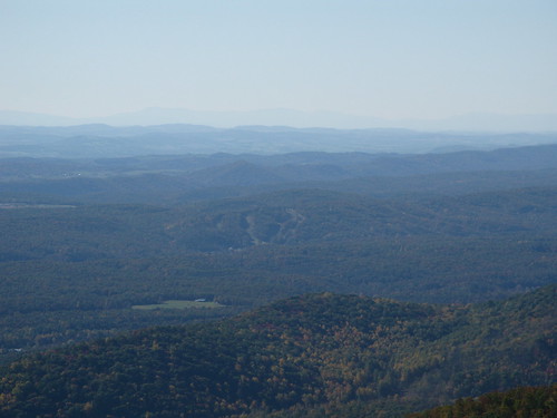
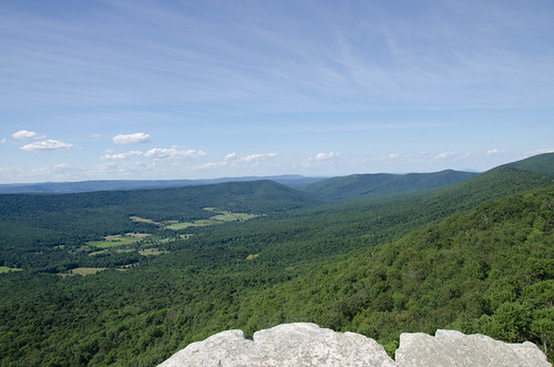
View from Big Schloss, GWNF
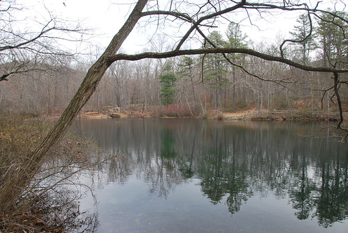
The view around the pond at Winchester Medical Center
morning sky clouds landscape virginia spring view hike westvirginia shenandoahvalley georgewashingtonnationalforest
Shenandoah Valley morning
baker unitedstates westvirginia
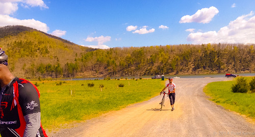
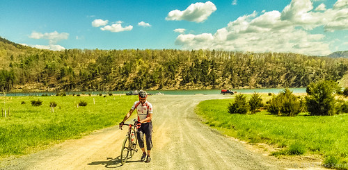
catching the view while we stop to fix a flat
The view around the pond at Winchester Medical Center
Big Schloss: North view
The view around the pond at Winchester Medical Center
Big Schloss: Southeast view
fall virginia hiking scouts bsa troop157
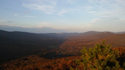
Late Fall in George Washington Forest, Virginia
sky clouds virginia spring view hike westvirginia overlook millmountain georgewashingtonnationalforest troutrunvalley
Trout Run Valley
View from the Kudzu
shenandoahvalley wolfgap
taking in the cliff view
Big Schloss: Southeast view at sunset
autumn fall hike foliage georgewashingtonnationalforest greatnorthmountain laurelrun brycemountainresort
Distant view of Bryce Mountain Resort
Big Schloss: South view sunset
Tibbet Knob: View of Trout Run Valley
Big Schloss: North view
canon river scenic westvirginia 5dmarkii
Lost River
Clouds rolling through the gap
rural canon 50mm countryside westvirginia 5dmarkii
Beauty On The River
trees moon night lune virginia arbres va shenandoahvalley shenandoahcounty
Moon Through Trees
mediumformat landscape virginia scans shenandoahvalley summercamp twinlensreflex mamiyac330 campstrawderman colorfilm farmwagon august2011 120neg
Camp Wagon. Columbia Furnace VA, August 2011
blackandwhite mountain clouds 1855 fujifilmxe1 uploaded:by=flickrmobile flickriosapp:filter=nofilter
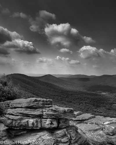
Big Schloss
baker unitedstates westvirginia
Kimsey Run Lake
baker unitedstates westvirginia
Kimsey Run Lake
wv afternoon autumn bridge country day daylight fall freeway highway infrastructure landscape rural sun sunny wideangle wardensville westvirginia unitedstates us route 48 corridorh
Highway Bridge
wv afternoon autumn country day daylight fall hills landscape mountain rural sun sunny route 48 corridorh
Red hill landscape
Tibbet Knob: Sunset over Trout Run Valley
usa unitedstates westvirginia lostcity troutpond hardycounty troutpondrecreationarea wardensville
Trout Pond
winter snow hiking maryland hike trail washingtonmonument appalachiantrail
View from Boonesboro Washington Monument
usa unitedstates westvirginia lostcity troutpond hardycounty troutpondrecreationarea wardensville
Trout Pond
lenscanon1635mml autumn bigschloss forest georgewashingtonnationalforest gwnf hiking mountains va valley virginia westvirginia wilderness wolfgap woods wv
Autumn Ridge
DSC00996 006 Max Spitzer Overlook view
shenandoahvalley wolfgap
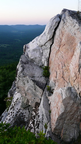
split face cliff
bigschloss georgewashingtonnationalforest hardycounty usa wardensville westvirginia
Big Schloss