Elevation of Trout Run Rd, Wardensville, WV, USA
Location: United States > West Virginia > Hardy County > Capon > Wardensville >
Longitude: -78.675229
Latitude: 38.971442
Elevation: 527m / 1729feet
Barometric Pressure: 95KPa
Elevation Map:
Satellite Map:
Related Photos:

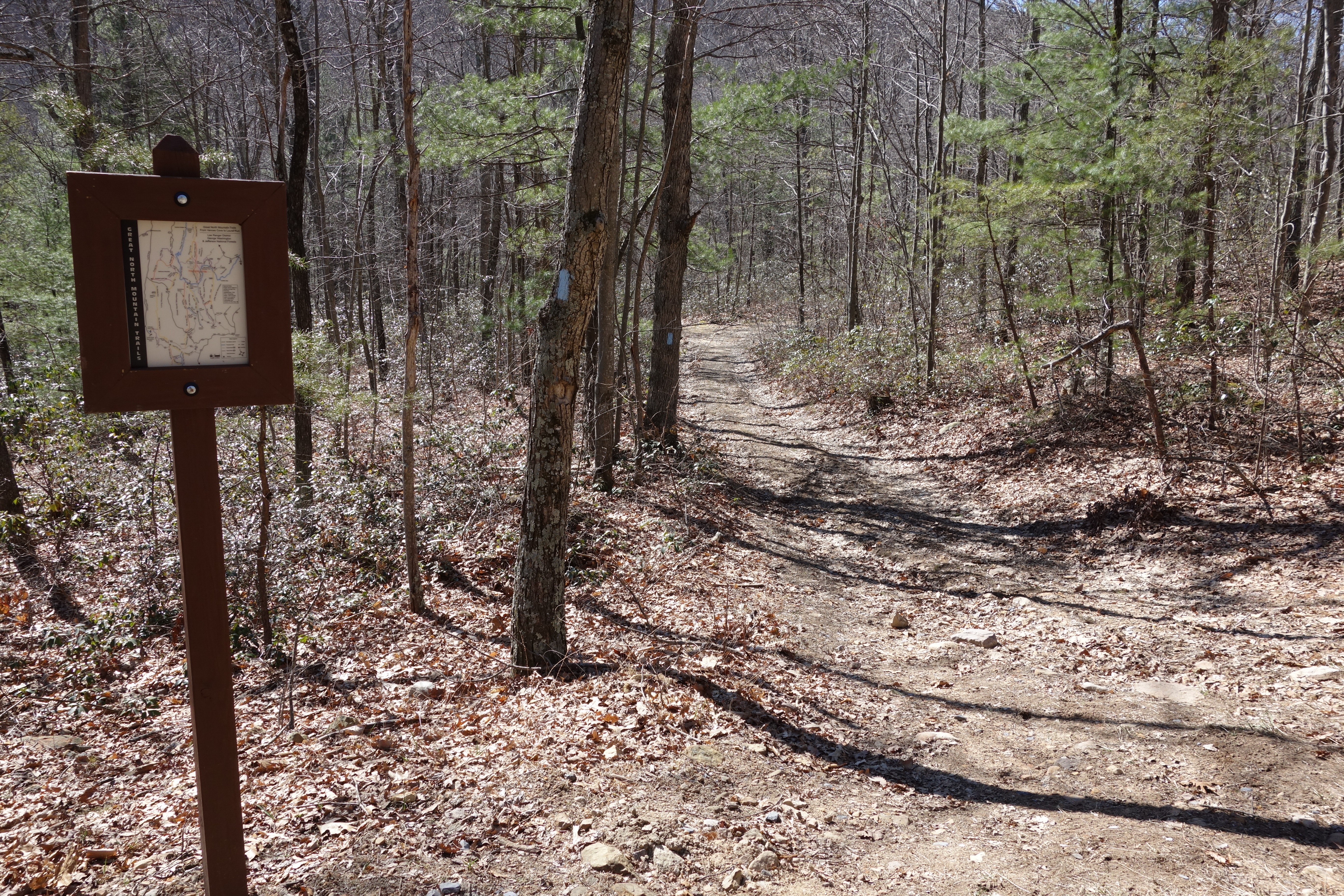
Van Buren Furnace No. 1 - View from loading ramp, Aug. 27, 1963
Lost River

The view around the pond at Winchester Medical Center

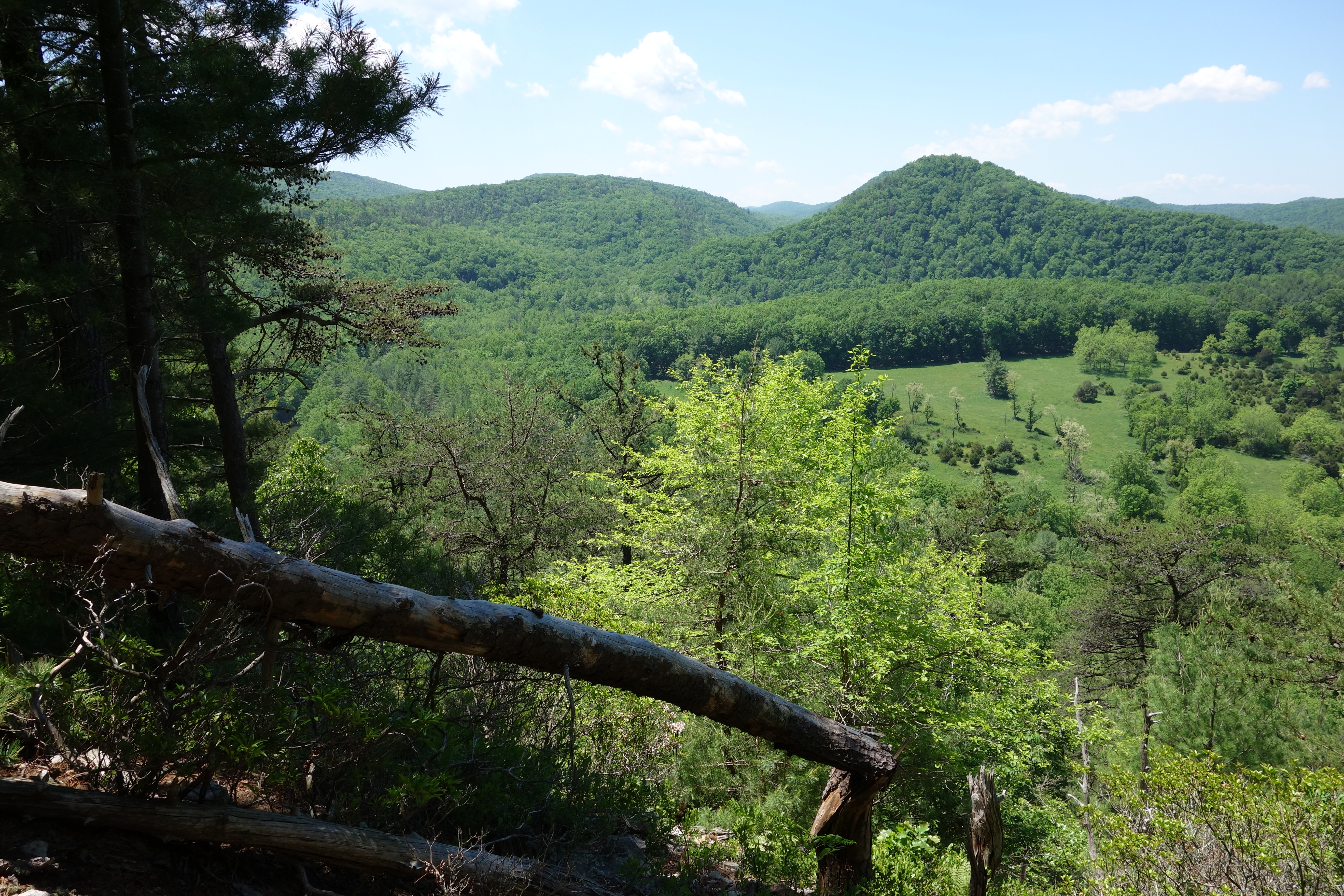
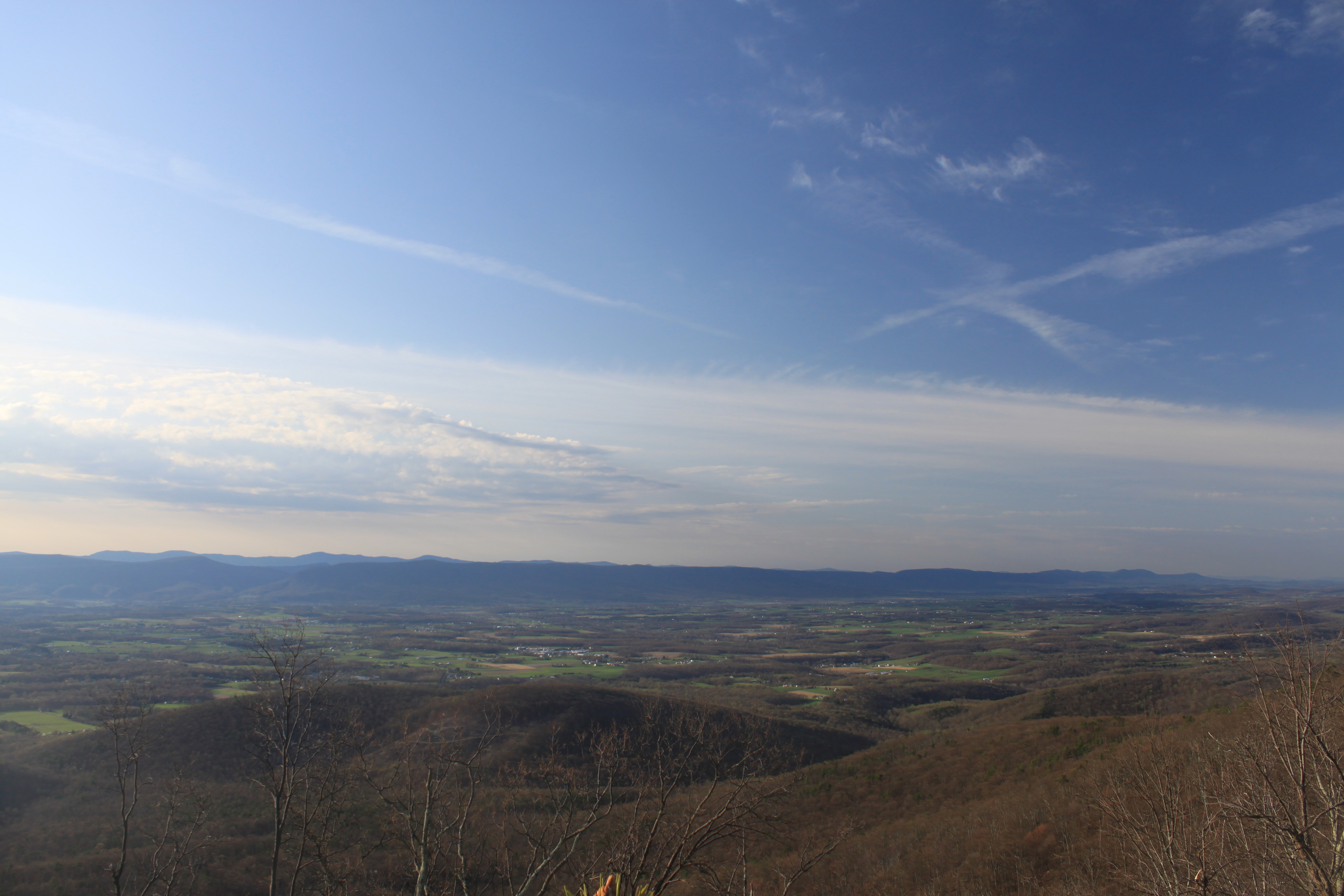
View Of Great North Mountain From Conicville

The view around the pond at Winchester Medical Center

The view around the pond at Winchester Medical Center
DSC01435 027 View
Big Schloss View 3
DSC01432 027 View
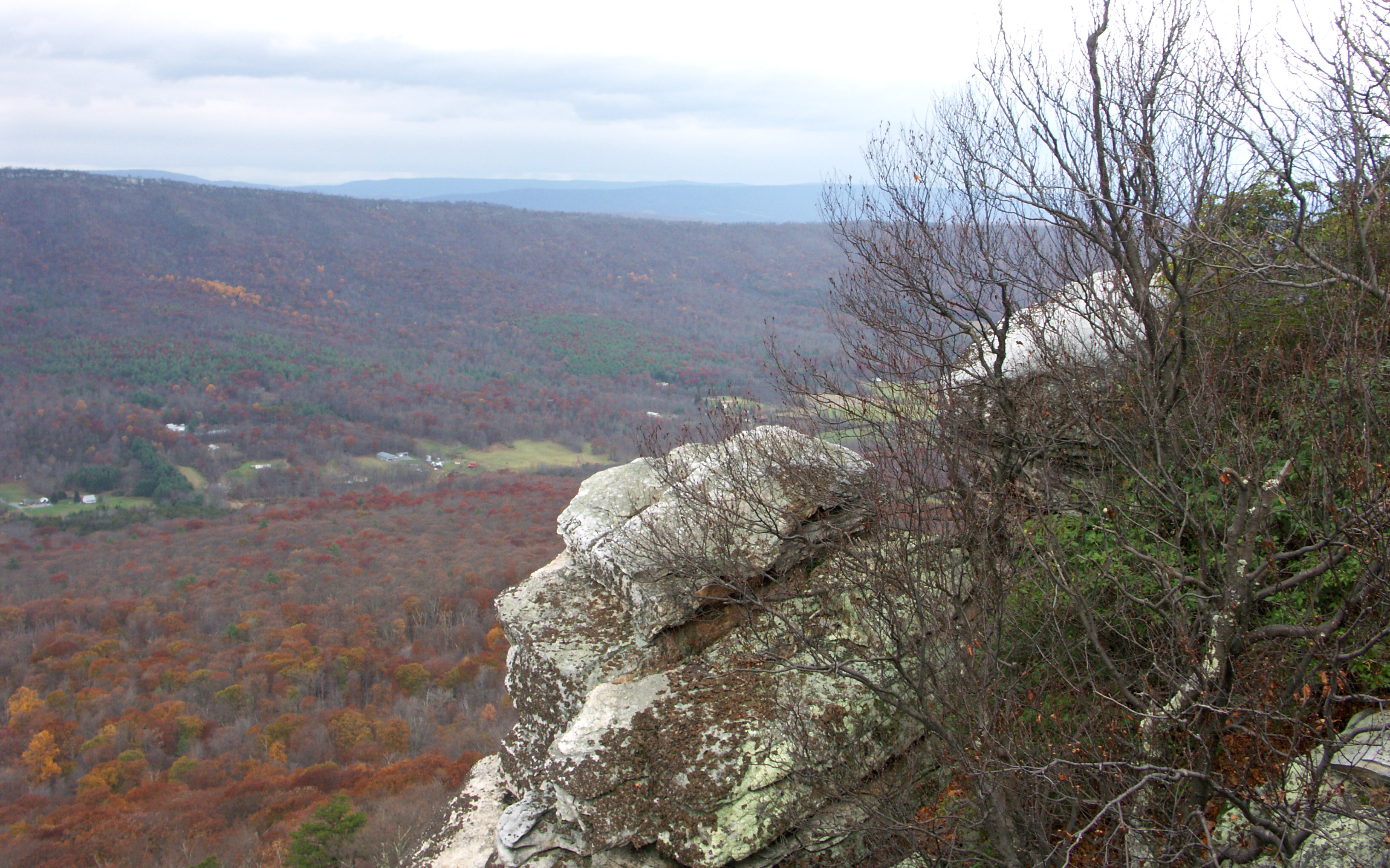
Big Schloss View 1

View from Boonesboro Washington Monument
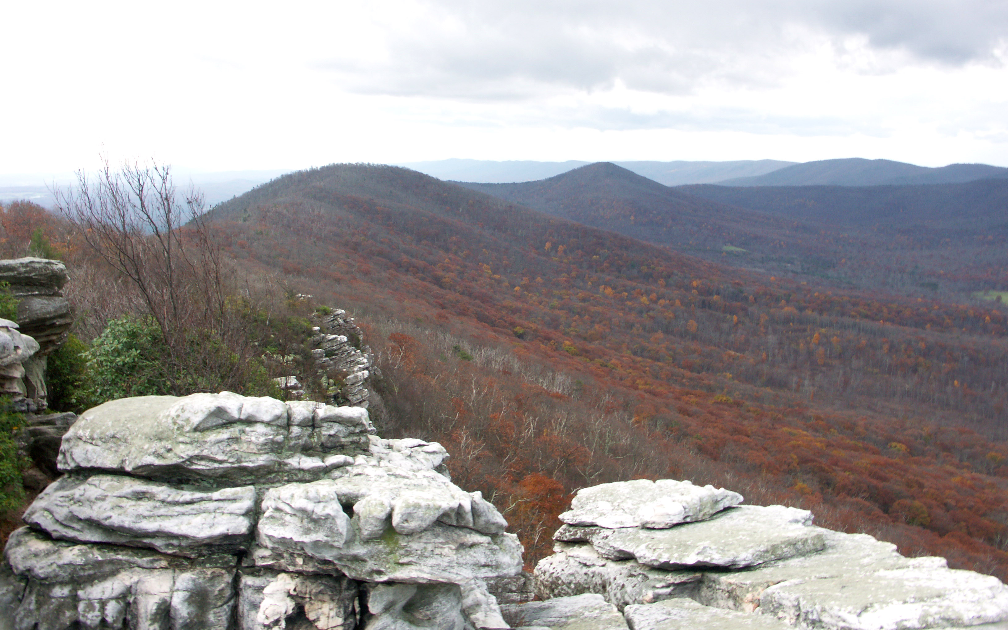
Big Schloss View 2
catching the view while we stop to fix a flat
Ridge View

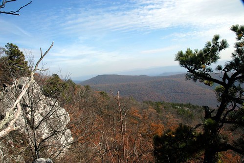
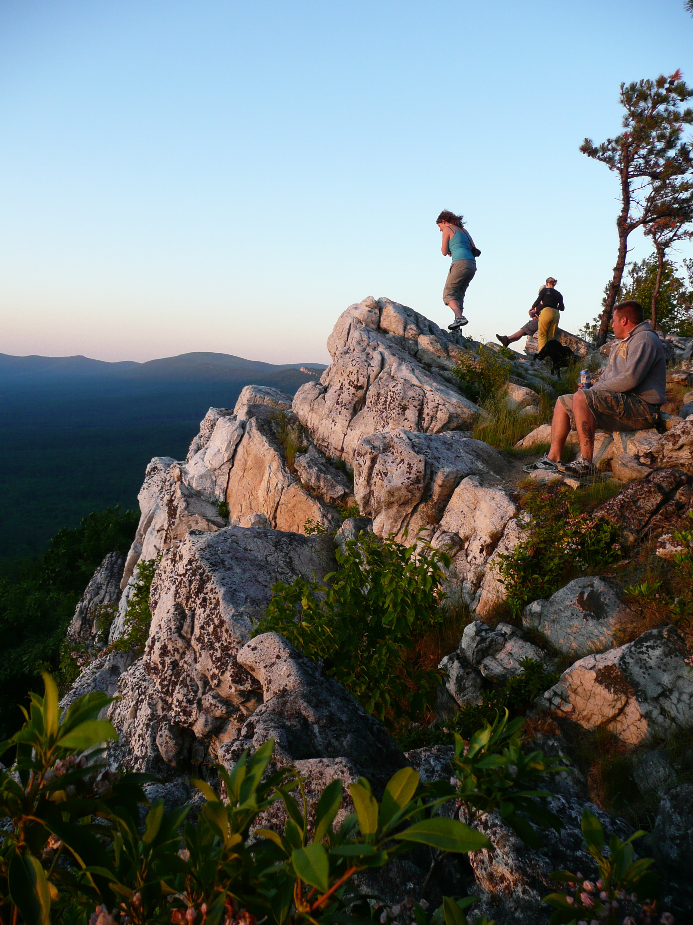
View from Black Rock
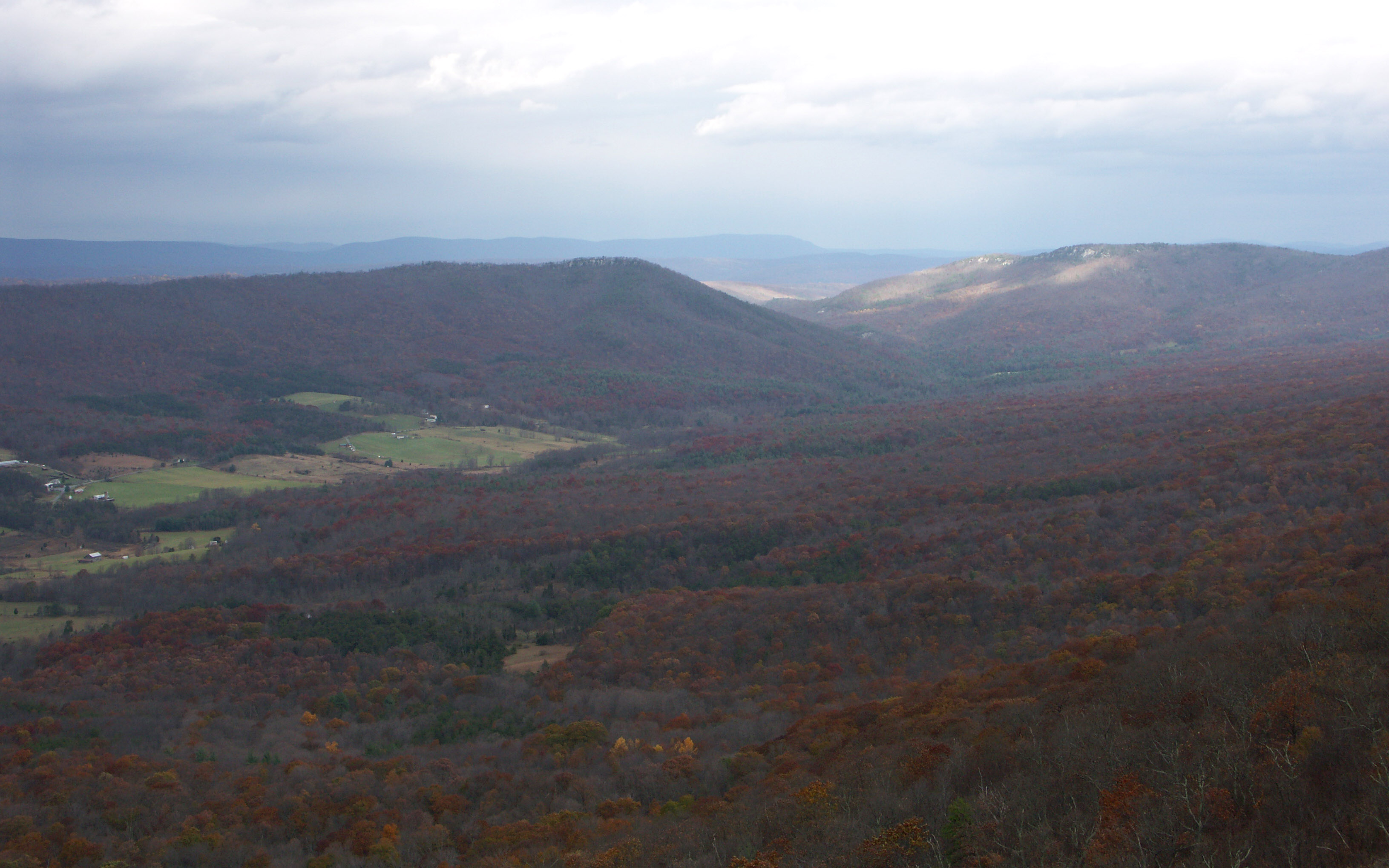
Shenandoah Valley morning

The view around the pond at Winchester Medical Center

Golden Eagle immature GBBC

The view around the pond at Winchester Medical Center

View from Boonesboro Washington Monument
taking in the cliff view
Shrouded By The Brush

Sunrise at White Rock Cliff

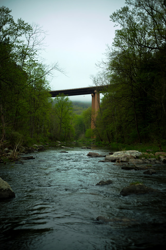
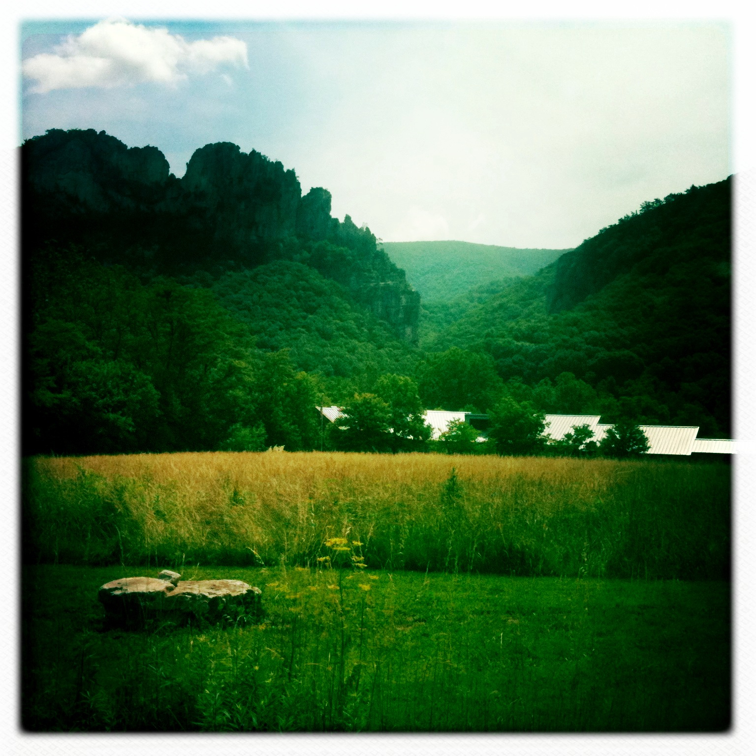
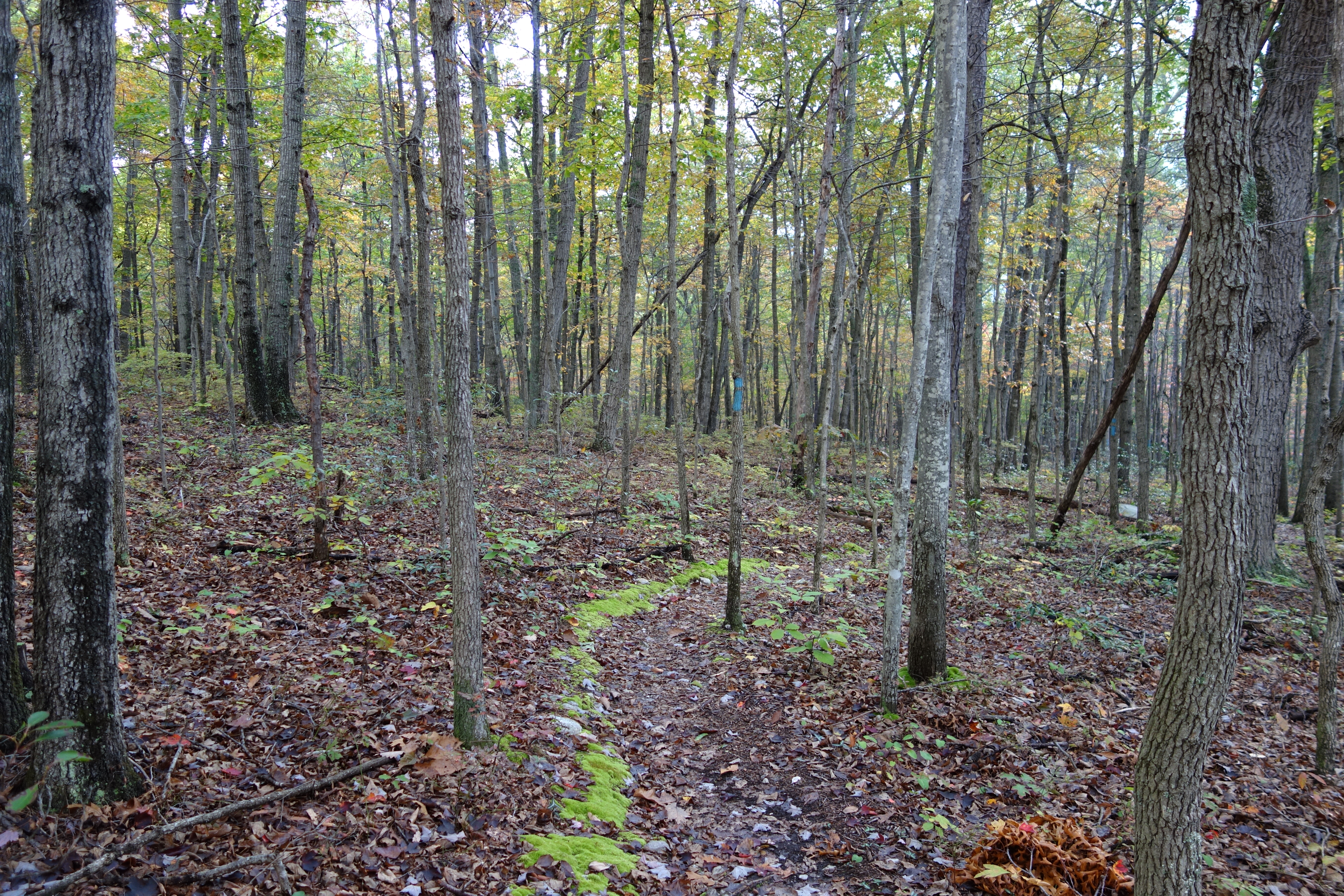
trout run valley, wv
Camera Roll-263
Camera Roll-264

Clouds rolling through the gap

DSC00670 004 Jct Big Schloss Ctof and Mill Mtn Tr

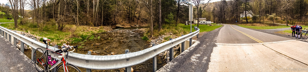
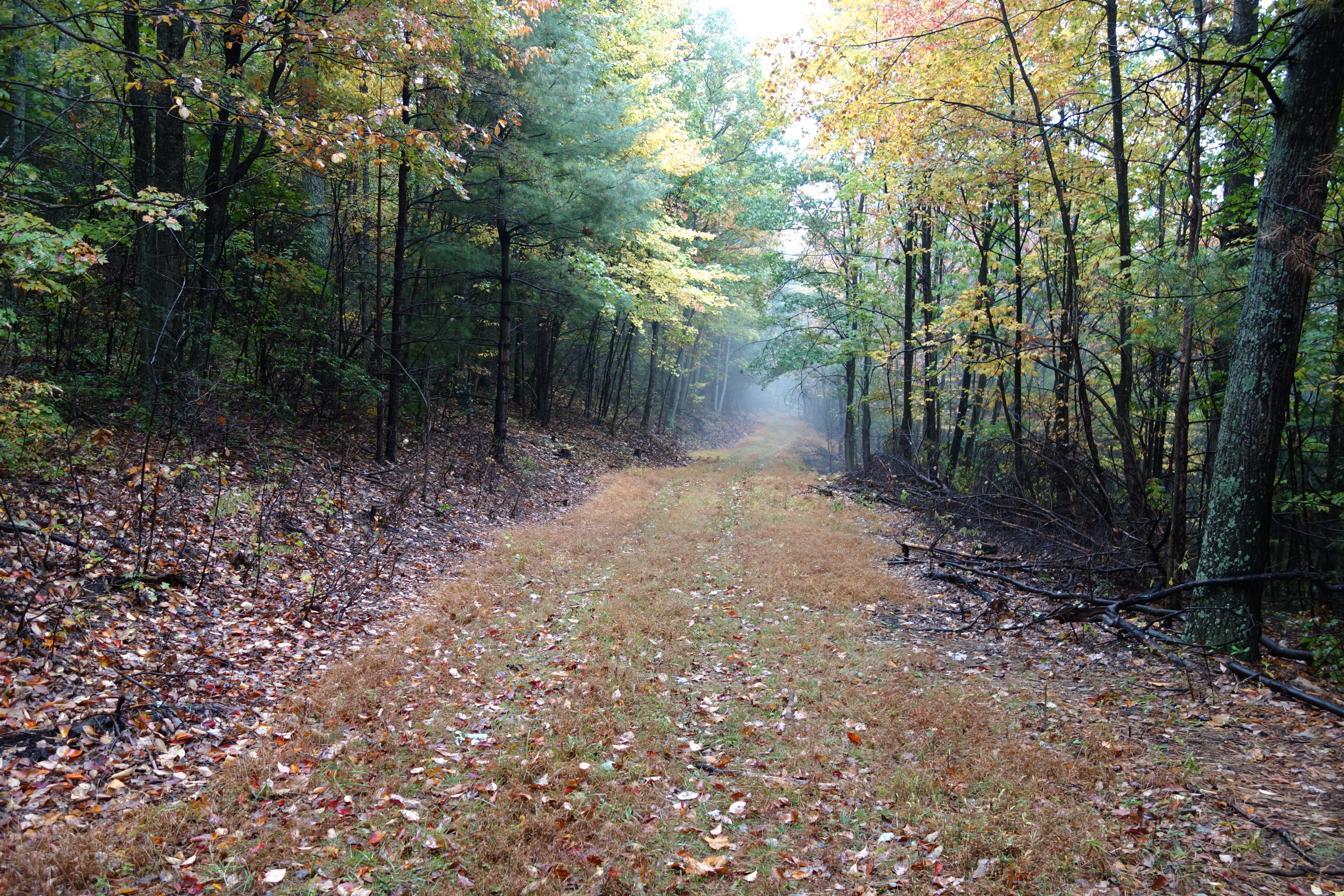
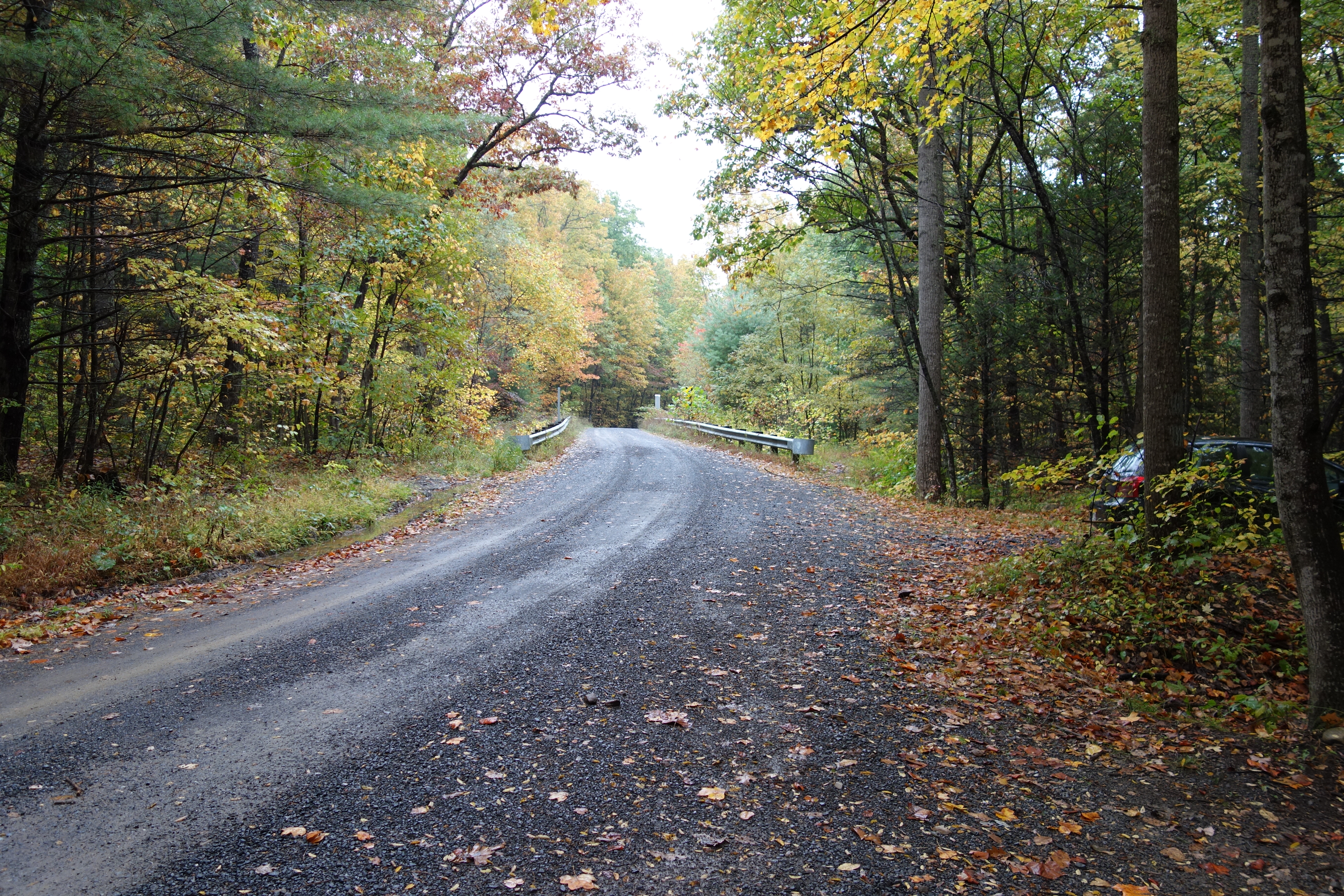
The First Bridge
DSC00649 150 TT jct Gerhard Shelter Tr
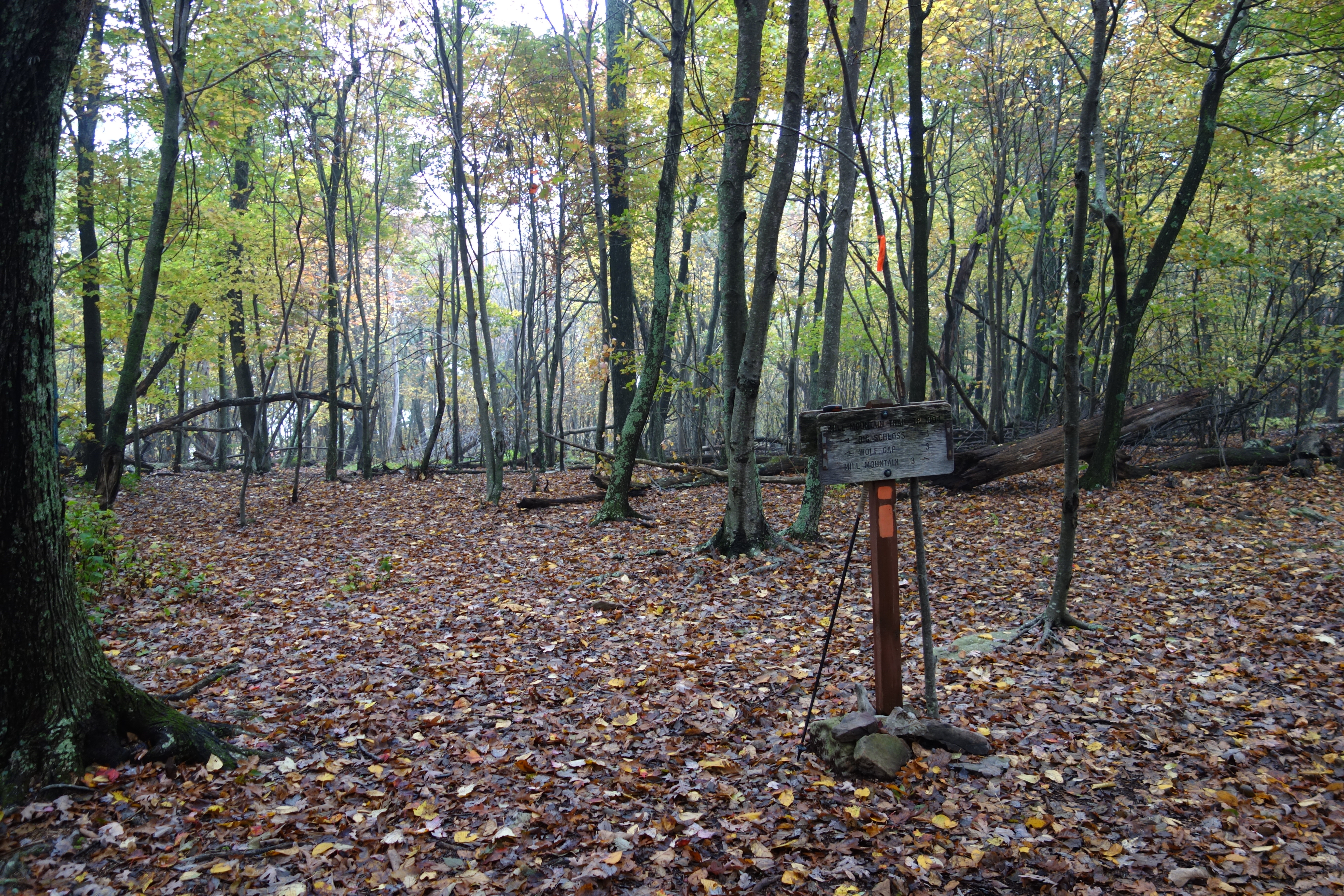
DSC00672 004 Jct Big Schloss Ctof and Mill Mtn Tr
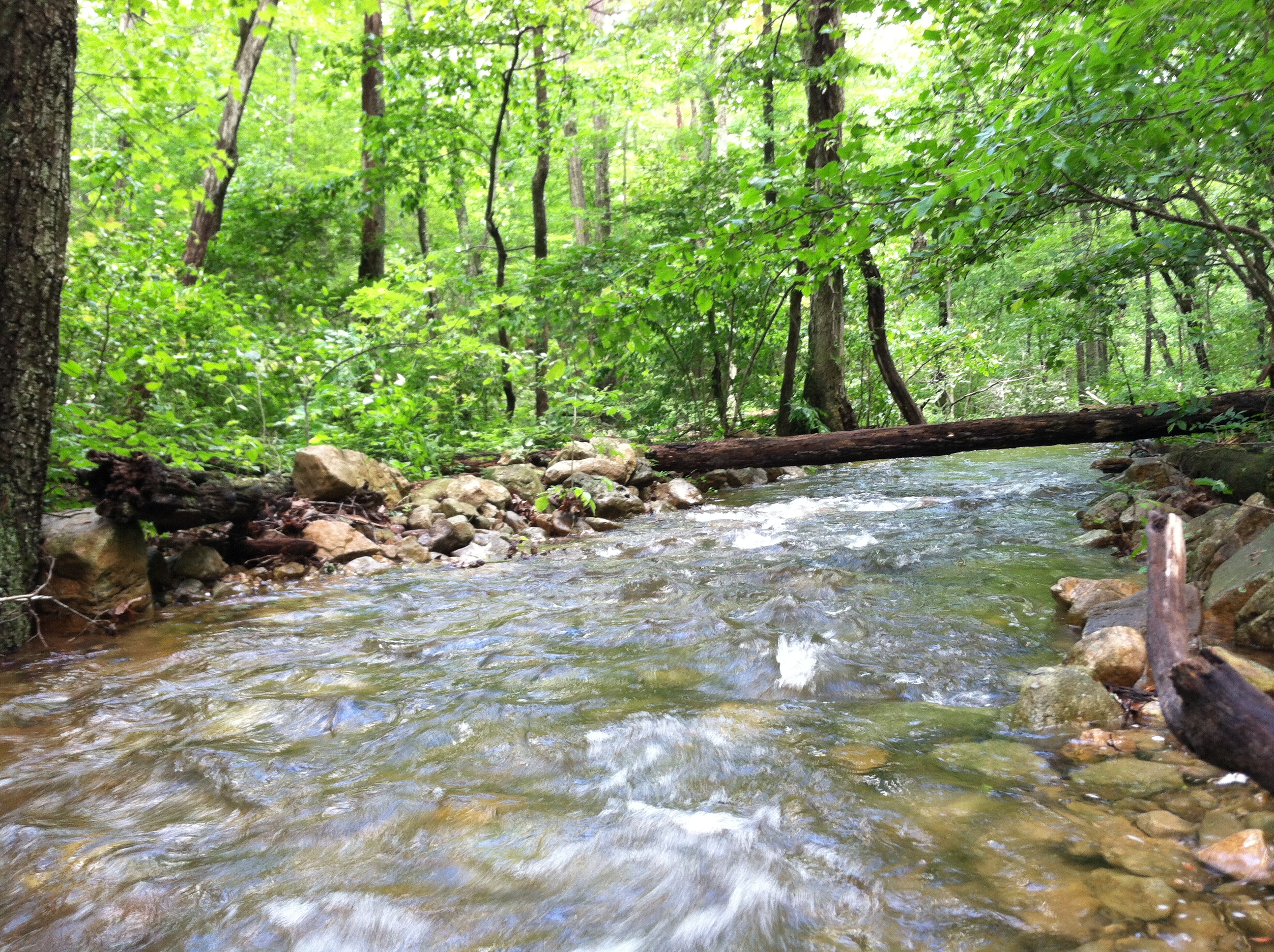
Screamin' Stream
DSC01115 003 Jct FDR 1863 and TT facing east
DSC00666 003 Big Schloss Ctof Tr sign
DSC00594 137 TT jct Gander Rock Rd

American Tree Sparrow
DSC00584 135 TT jct Gander Rock Rd and Waites Run Rd
Cedar Creek
DSC00974 005 Utility Tr near Squirrel Gap Tr Old Rte 55

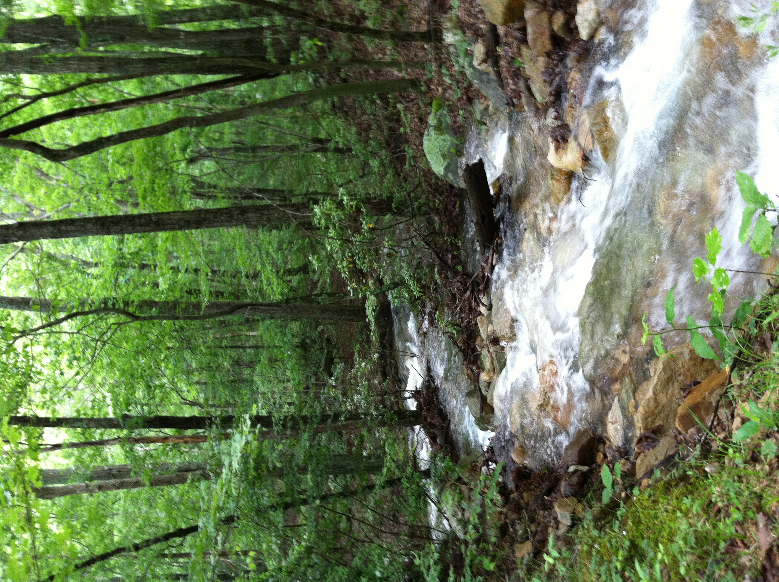
DSC01125 006 stream xing
Topographic Map of Trout Run Rd, Wardensville, WV, USA
Find elevation by address:

Places near Trout Run Rd, Wardensville, WV, USA:
9774 Trout Run Rd
449 Walter Bell Ln
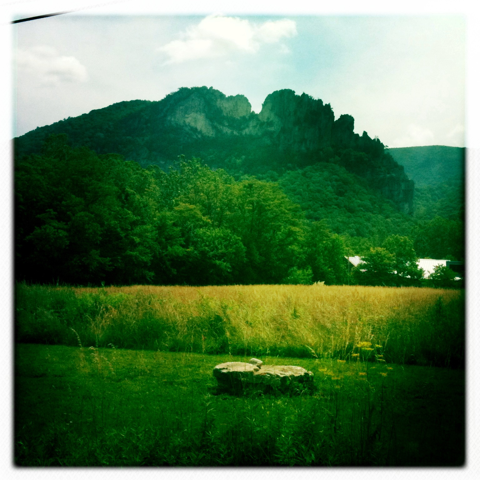
Big Schloss
5706 Thorne Bottom Rd
5584 Thorne Bottom Rd
5374 Thorne Bottom Rd
4676 Thorne Bottom Rd
Sugar Knob
40 Oak Ridge
Black Oak Ridge
1343 Kern Springs Rd
3, VA, USA
Grover Rd, Edinburg, VA, USA
581 Hunter Rd
Hunter Road
Frogtown Ln, Edinburg, VA, USA
2155 Rittenour Rd
Stoney Creek Road
3933 Zepp Rd
588 Turtle Hill Ln
Recent Searches:
- Elevation of Kreuzburger Weg 13, Düsseldorf, Germany
- Elevation of Gateway Blvd SE, Canton, OH, USA
- Elevation of East W.T. Harris Boulevard, E W.T. Harris Blvd, Charlotte, NC, USA
- Elevation of West Sugar Creek, Charlotte, NC, USA
- Elevation of Wayland, NY, USA
- Elevation of Steadfast Ct, Daphne, AL, USA
- Elevation of Lagasgasan, X+CQH, Tiaong, Quezon, Philippines
- Elevation of Rojo Ct, Atascadero, CA, USA
- Elevation of Flagstaff Drive, Flagstaff Dr, North Carolina, USA
- Elevation of Avery Ln, Lakeland, FL, USA