Elevation of Thorne Bottom Rd, Lost City, WV, USA
Location: United States > West Virginia > Hardy County > Lost River > Lost City >
Longitude: -78.737059
Latitude: 38.969218
Elevation: 557m / 1827feet
Barometric Pressure: 95KPa
Elevation Map:
Satellite Map:
Related Photos:

Van Buren Furnace No. 1 - View from loading ramp, Aug. 27, 1963

DSC01432 027 View

View from Black Rock

View from Boonesboro Washington Monument

View from Black Rock
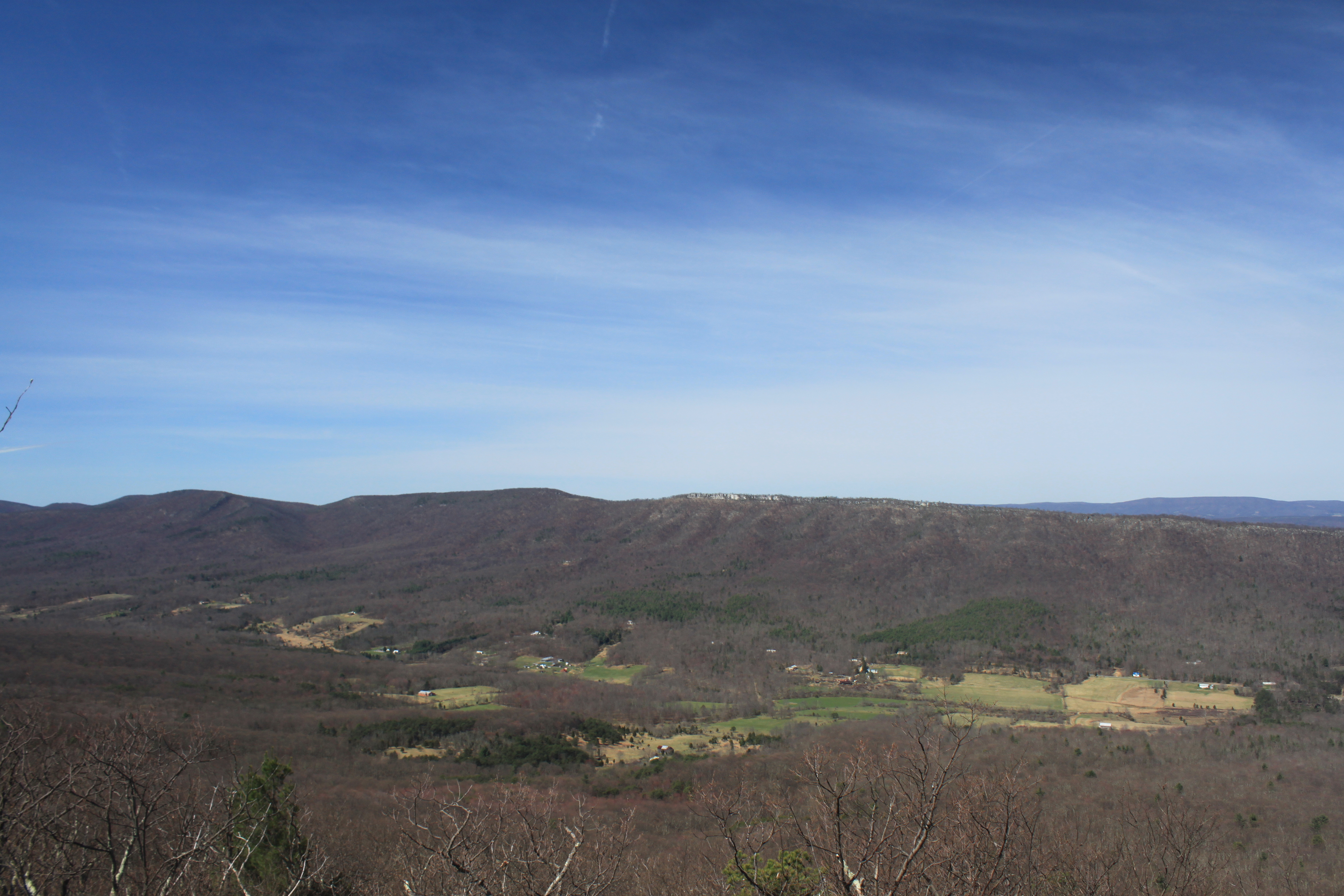
Trout Run Valley

DSC00997 006 Max Spitzer Overlook view

DSC01431 027 View

DSC00996 006 Max Spitzer Overlook view

Lost River

Big Schloss: South view

Tibbet Knob: View of Trout Run Valley

DSC01433 027 View

View Of Great North Mountain From Conicville

The view around the pond at Winchester Medical Center

Big Schloss View 1

Big Schloss View 3

Big Schloss View 2

The view around the pond at Winchester Medical Center

taking in the cliff view

Ridge View

trout run valley, wv

Camera Roll-263

Camera Roll-264

Sunrise at White Rock Cliff

halfmoon run

The First Bridge

Screamin' Stream

Sunset At 10 Feet

Moon Through Trees

DSC00594 137 TT jct Gander Rock Rd

This Way...
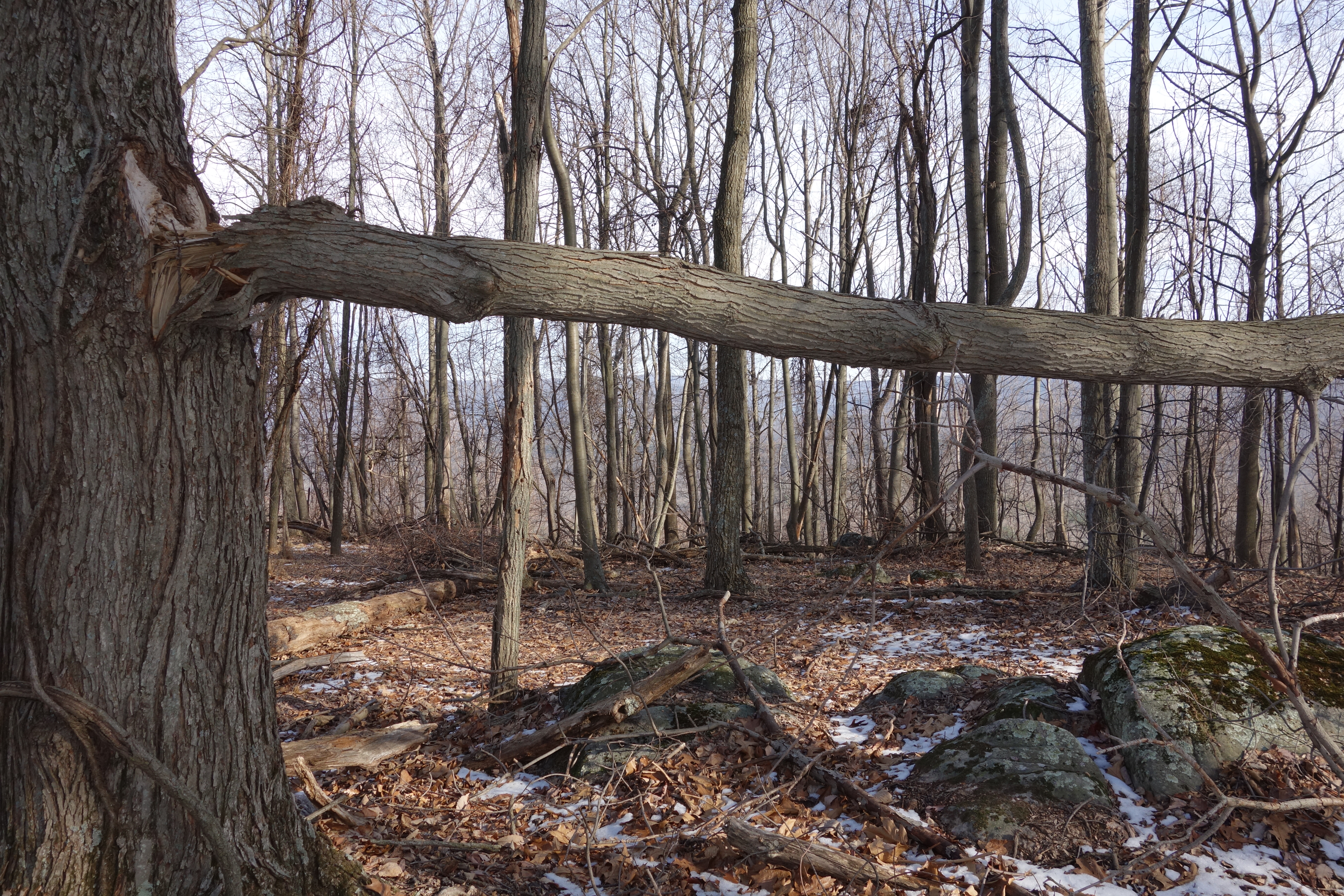
DSC01002 008 Blowdown

DSC01039 008 Stream xing

DSC00974 005 Utility Tr near Squirrel Gap Tr Old Rte 55

DSC00587 135 TT jct Gander Rock Rd and Waites Run Rd

Cedar Creek
DSC00604 140 TT BD
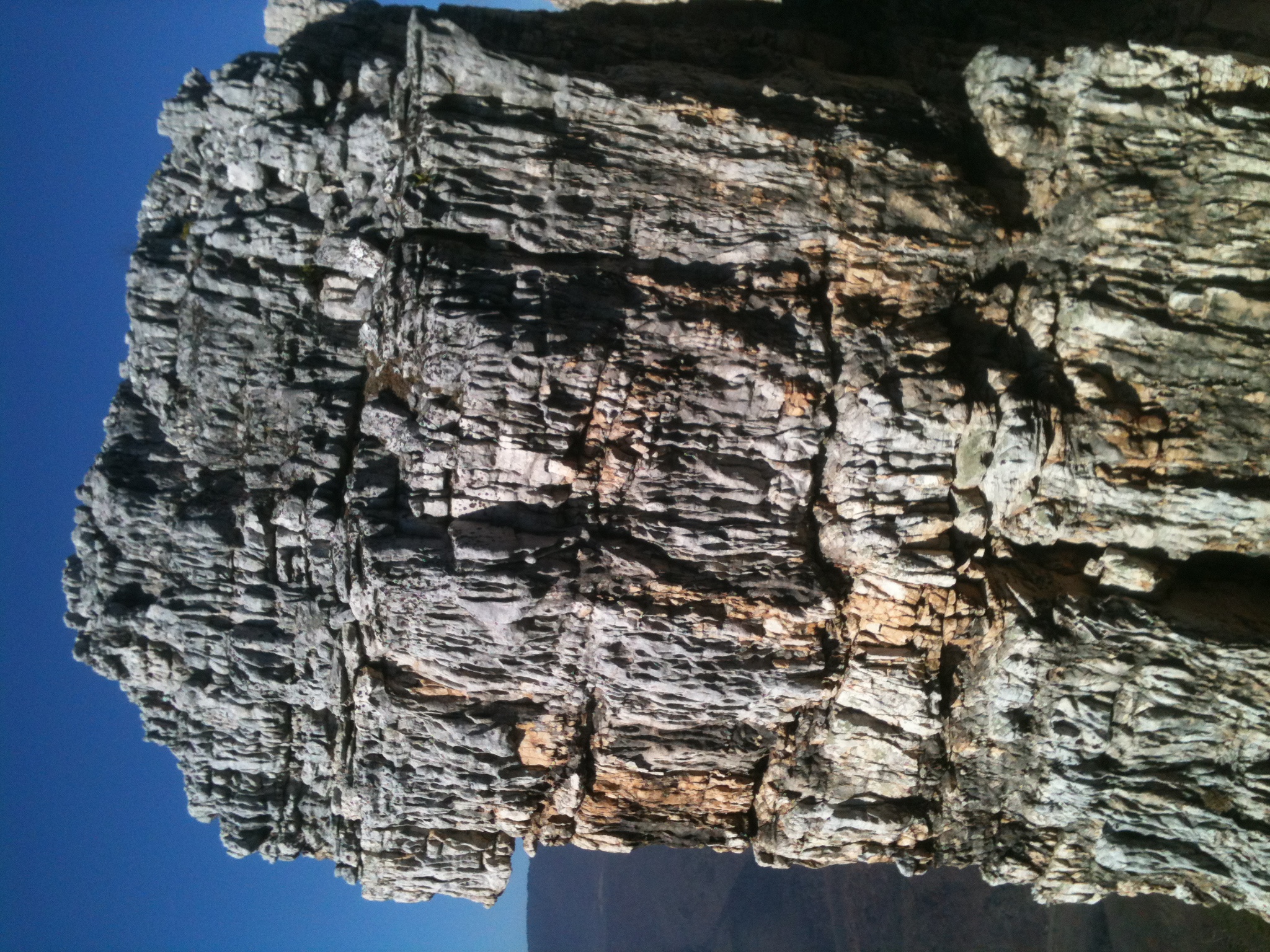
The Chimney itself

Aesthetically freezing. ❄️
Topographic Map of Thorne Bottom Rd, Lost City, WV, USA
Find elevation by address:

Places near Thorne Bottom Rd, Lost City, WV, USA:
40 Oak Ridge
5374 Thorne Bottom Rd
5584 Thorne Bottom Rd
5706 Thorne Bottom Rd
449 Walter Bell Ln
9774 Trout Run Rd
Trout Run Rd, Wardensville, WV, USA
Big Schloss
Black Oak Ridge
Sugar Knob
1343 Kern Springs Rd
3, VA, USA
Frogtown Ln, Edinburg, VA, USA
Grover Rd, Edinburg, VA, USA
Stoney Creek Road
2155 Rittenour Rd
581 Hunter Rd
Hunter Road
3933 Zepp Rd
Motel Drive
Recent Searches:
- Elevation of Gateway Blvd SE, Canton, OH, USA
- Elevation of East W.T. Harris Boulevard, E W.T. Harris Blvd, Charlotte, NC, USA
- Elevation of West Sugar Creek, Charlotte, NC, USA
- Elevation of Wayland, NY, USA
- Elevation of Steadfast Ct, Daphne, AL, USA
- Elevation of Lagasgasan, X+CQH, Tiaong, Quezon, Philippines
- Elevation of Rojo Ct, Atascadero, CA, USA
- Elevation of Flagstaff Drive, Flagstaff Dr, North Carolina, USA
- Elevation of Avery Ln, Lakeland, FL, USA
- Elevation of Woolwine, VA, USA