Elevation of The Old Dock Restaurant, Essex - Charlotte Ferry, Essex, NY, USA
Location: United States > New York > Essex County > Essex > Essex >
Longitude: -73.350585
Latitude: 44.31028
Elevation: 31m / 102feet
Barometric Pressure: 101KPa
Elevation Map:
Satellite Map:
Related Photos:
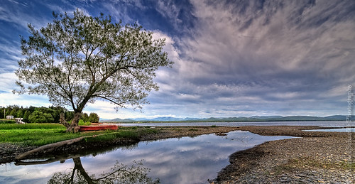
The Red Canoe

view from a bridge

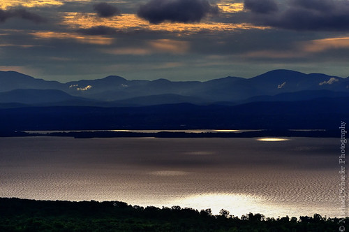
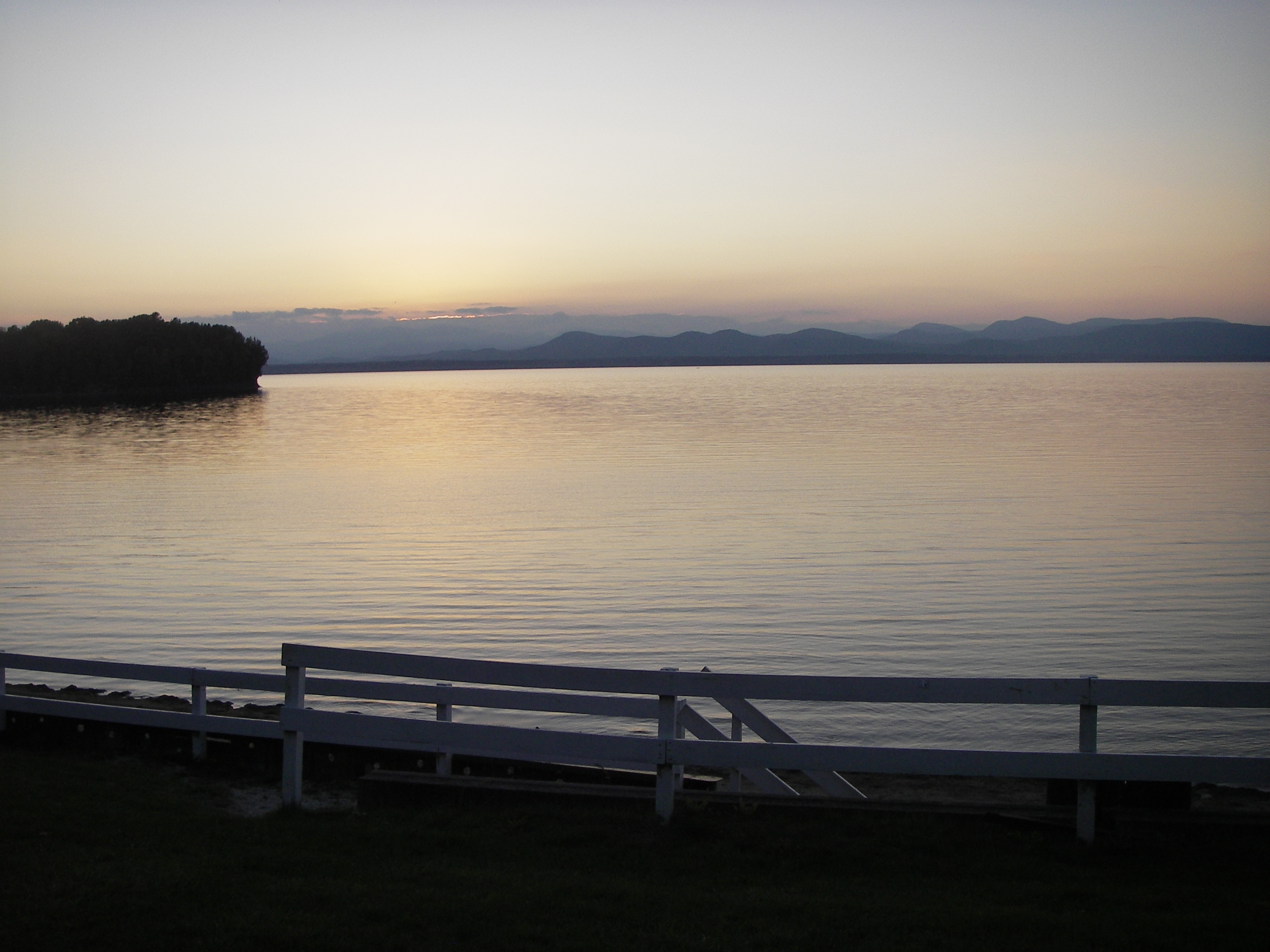
Morning Light over Lake Champlain

North Shore July 2012

Long Pond - Willsboro, New York
Lake Champlain and Vermont
Roadside View
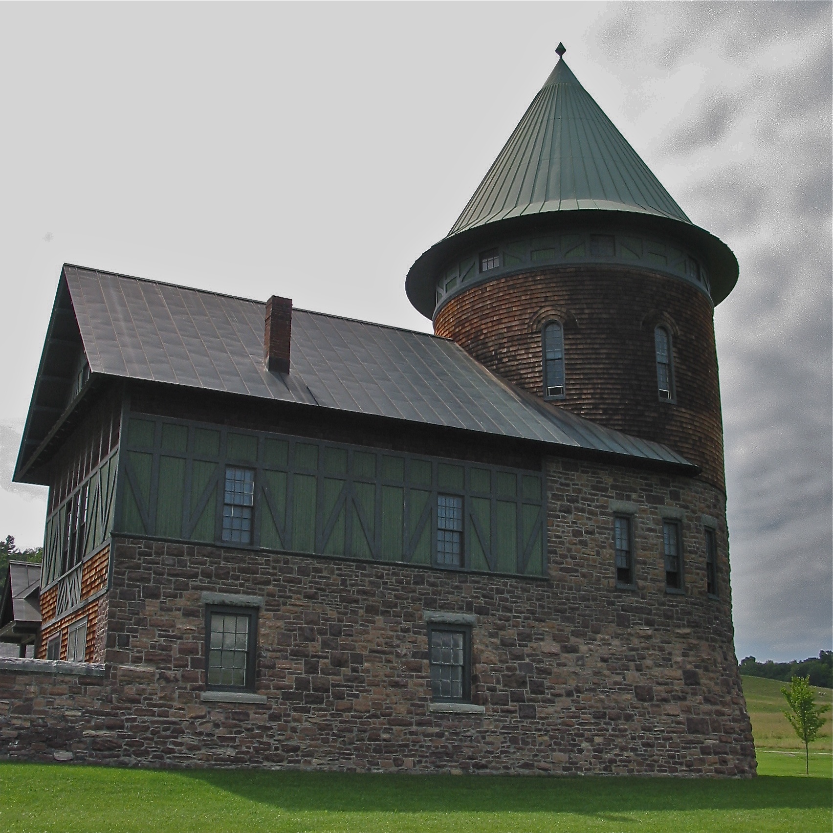
Shelburne Farms (1886) – Farm Barn (1888-90) - detail

Round Barn, Shelbourne, VT
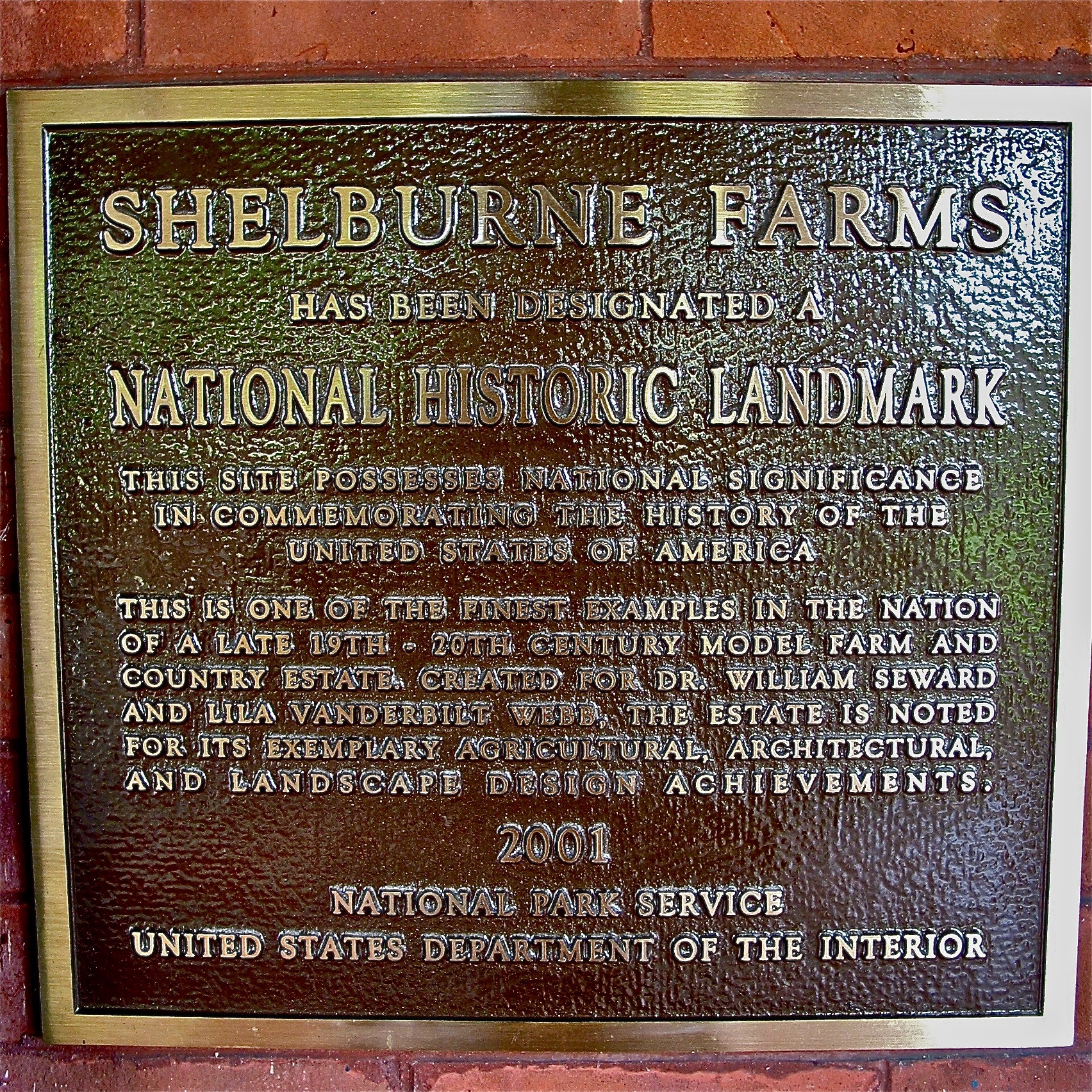
Shelburne Farms (1886) – National Historic Landmark plaque
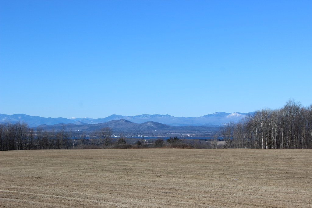
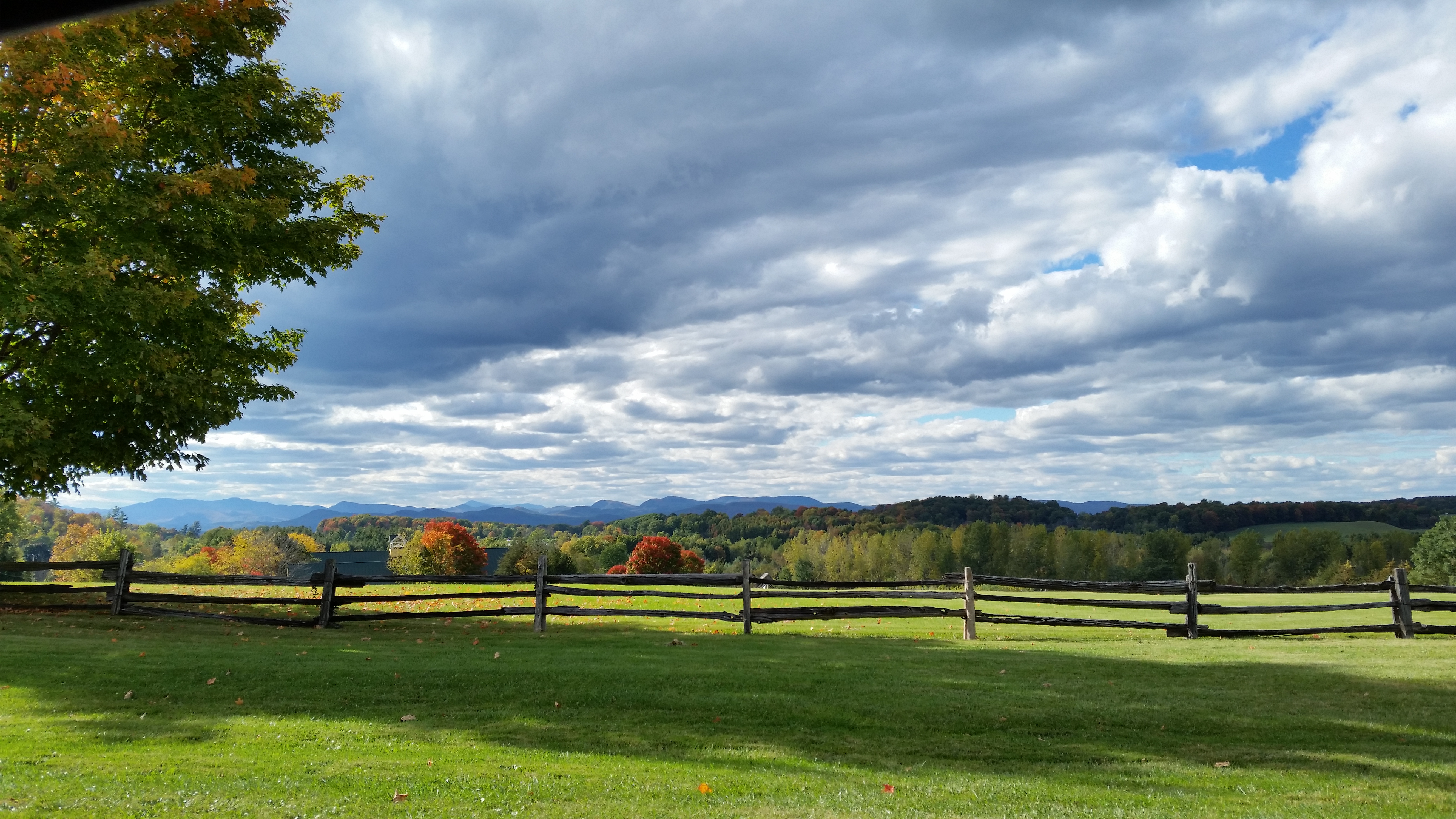
Adirondack mountains viewed from Vermont

Frightening Bird's Eye View... #perspective #vantage #art #artspaces #museumspaces #museumseries Painting: "Soaring" (1950) by Andrew Wyeth (1917 - 2009)
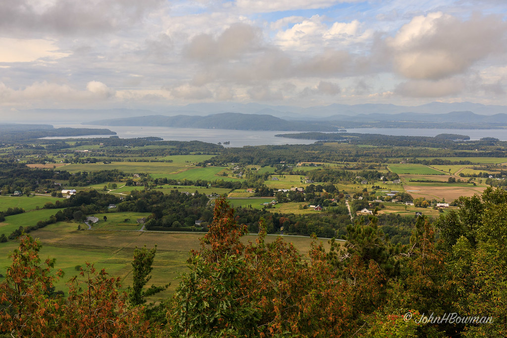
View from Mount Philo

See Through

Lake Champlain - View From New York to Vermont

Essex, NY Boathouse #2

A Bears View

Vergennes Schoolhouse, Shelbourne Vermont

Shelburne Farms (1886) – Dairy Barn (1891)

Shelburne Farms (1886) – Farm Barn (1888-90)

car.window • view

The Magic Path

IMGP2074.JPG

Last Days of Summer on the Boquet River
IMGP2075.JPG

Mt Philo panorama - Lake Champlain

Ferrisburgh Barn - Topaz Impression | Pastel I

Snow for Christmas

Seguin Covered Bridge

Ten Foot Clearance

#vt #vermontlife #vermont #ferrisburgh #kingslandbay #statepark #woods #forest #countrylove #countrylife #ilovermont #bw #bwlovers

flooded field refreezing

the fields in winter

Day 162/365:

Another perfectly-awful #vt day.

Just before the rain rolled in. #lakechamplain #landscapes #longexposure @indurotripods #instagood #vermont #shelburne #vermontshots #vermontbyvermonters

The sun's last blast yesterday @shelburnefarms #vermont #vermontsfinest #vermontshots #sunset
Topographic Map of The Old Dock Restaurant, Essex - Charlotte Ferry, Essex, NY, USA
Find elevation by address:

Places near The Old Dock Restaurant, Essex - Charlotte Ferry, Essex, NY, USA:
Essex
Essex - Charlotte Ferry
Willsboro
39 Myers Way
345 Hills Point Rd
701 Hills Point Rd
599 Hills Point Rd
Charlotte
521 10 Stones Cir
501 10 Stones Cir
543 10 Stones Cir
477 10 Stones Cir
565 10 Stones Cir
Willsboro
439 10 Stones Cir
245 10 Stones Cir
560 Point Rd
12 Frisbie Rd, Willsboro, NY, USA
707 Point Rd
104 Bown Ln
Recent Searches:
- Elevation of Elwyn Dr, Roanoke Rapids, NC, USA
- Elevation of Congressional Dr, Stevensville, MD, USA
- Elevation of Bellview Rd, McLean, VA, USA
- Elevation of Stage Island Rd, Chatham, MA, USA
- Elevation of Shibuya Scramble Crossing, 21 Udagawacho, Shibuya City, Tokyo -, Japan
- Elevation of Jadagoniai, Kaunas District Municipality, Lithuania
- Elevation of Pagonija rock, Kranto 7-oji g. 8"N, Kaunas, Lithuania
- Elevation of Co Rd 87, Jamestown, CO, USA
- Elevation of Tenjo, Cundinamarca, Colombia
- Elevation of Côte-des-Neiges, Montreal, QC H4A 3J6, Canada