Elevation of 12 Frisbie Rd, Willsboro, NY, USA
Location: United States > New York > Essex County > Willsboro > Willsboro >
Longitude: -73.3783119
Latitude: 44.409214
Elevation: 46m / 151feet
Barometric Pressure: 0KPa
Related Photos:
Shelburne Farms (1886) – Farm Barn (1888-90) - detail
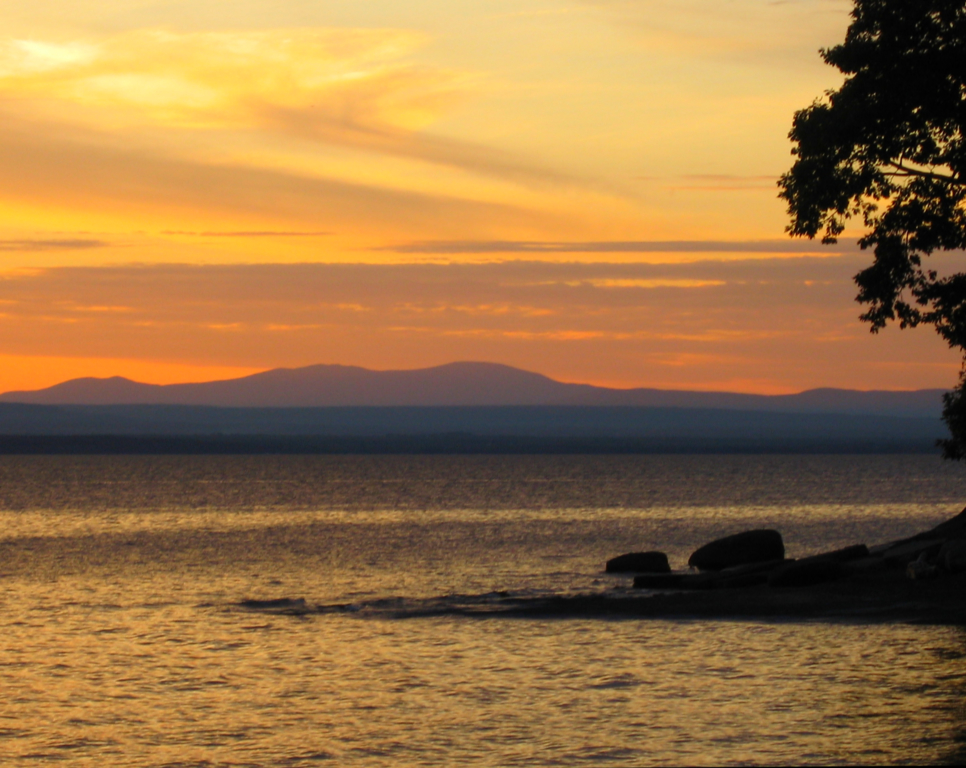
Vermont Sunset, Emmy's Beach
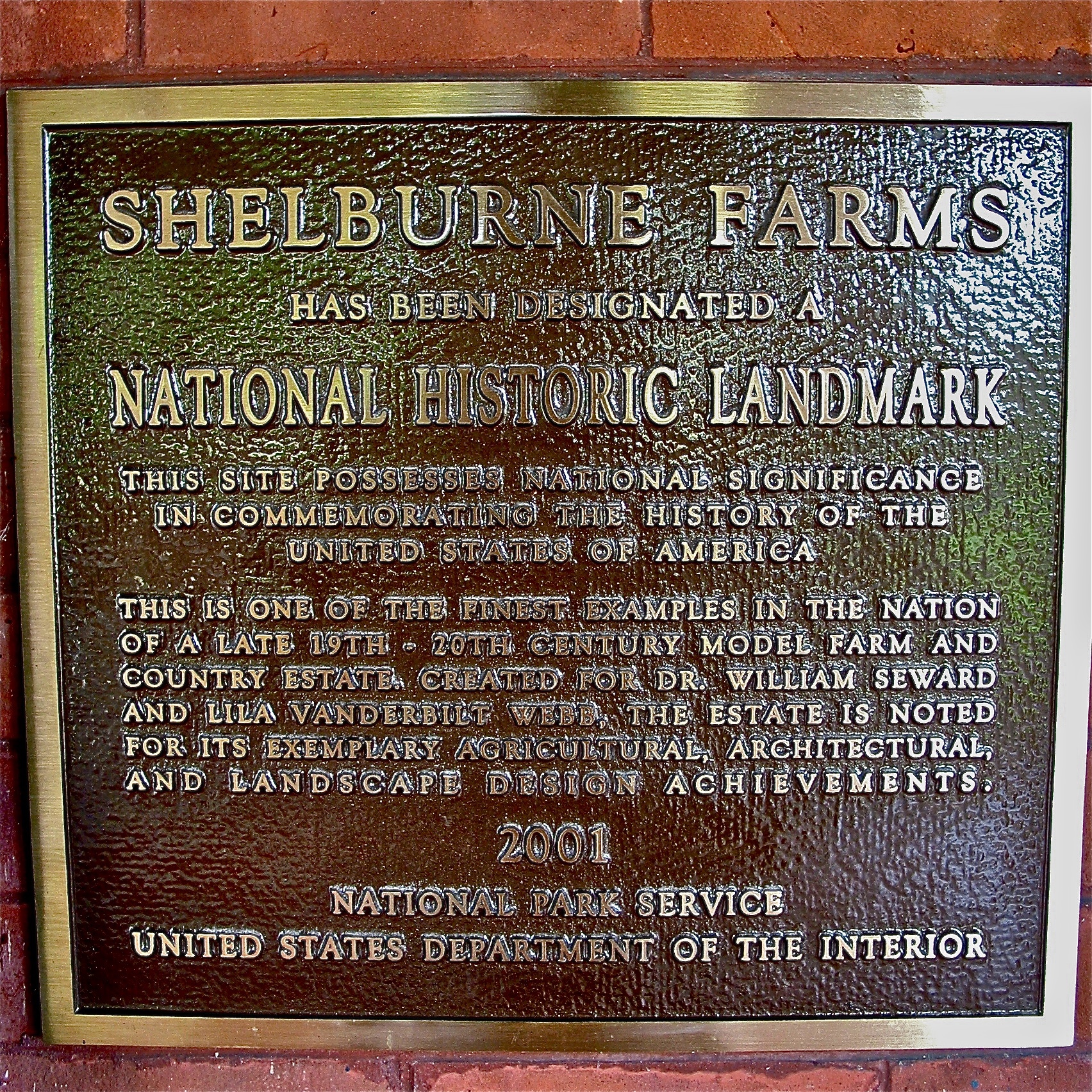
Shelburne Farms (1886) – National Historic Landmark plaque
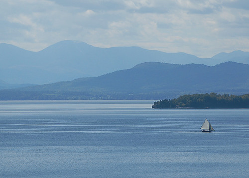
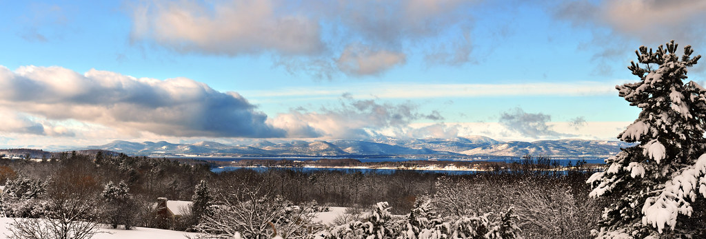
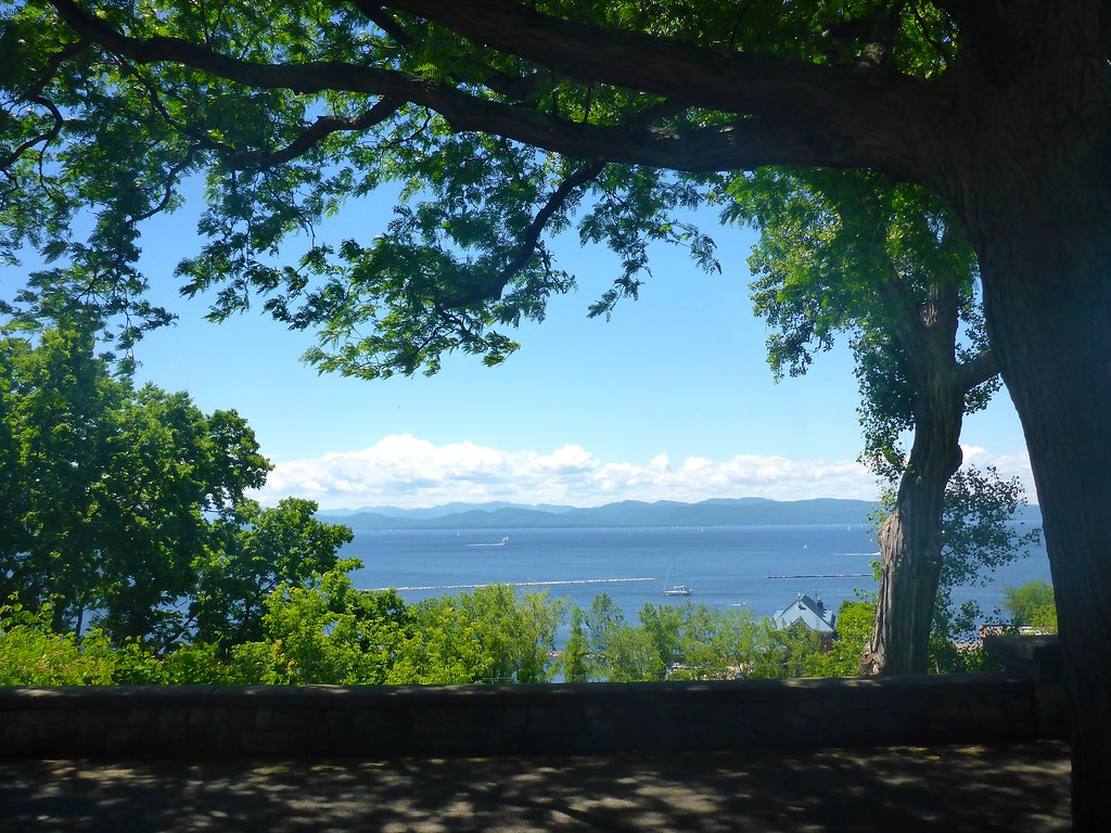
Lake Champlain
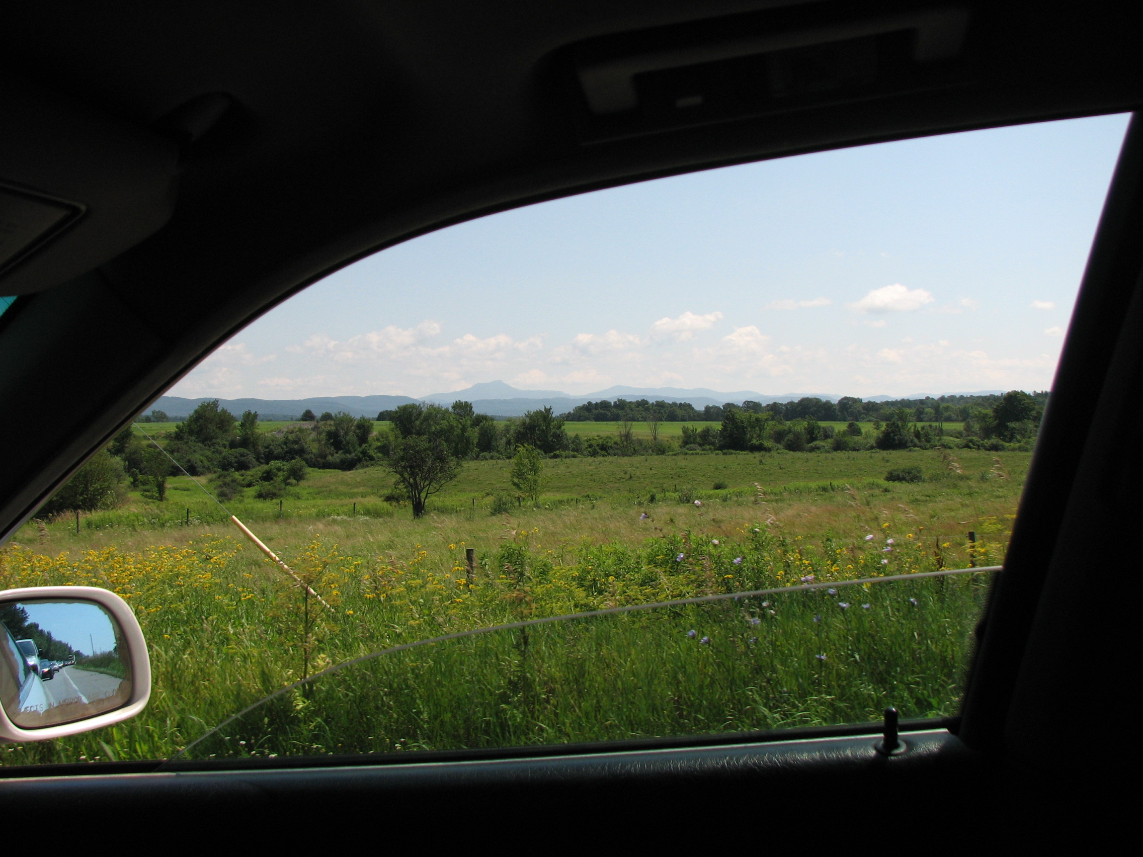
car.window • view
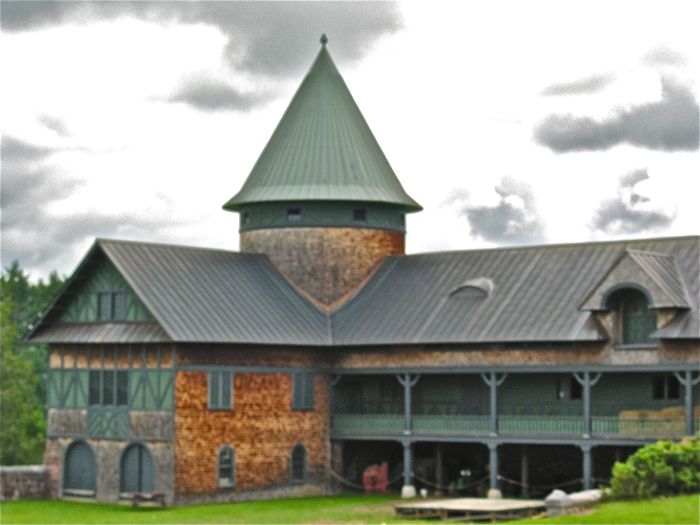
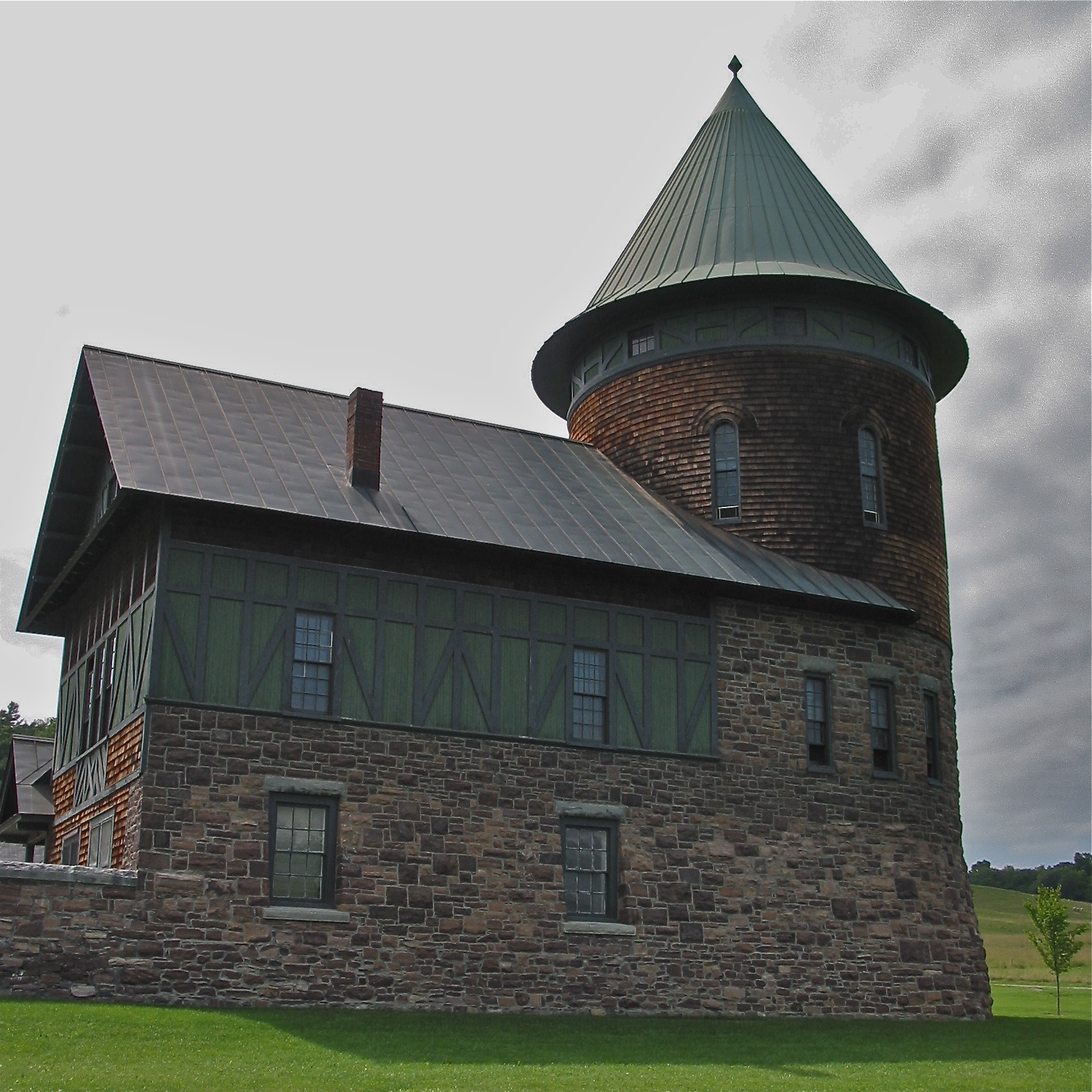
Shelburne Farms (1886) – Farm Barn (1888-90)
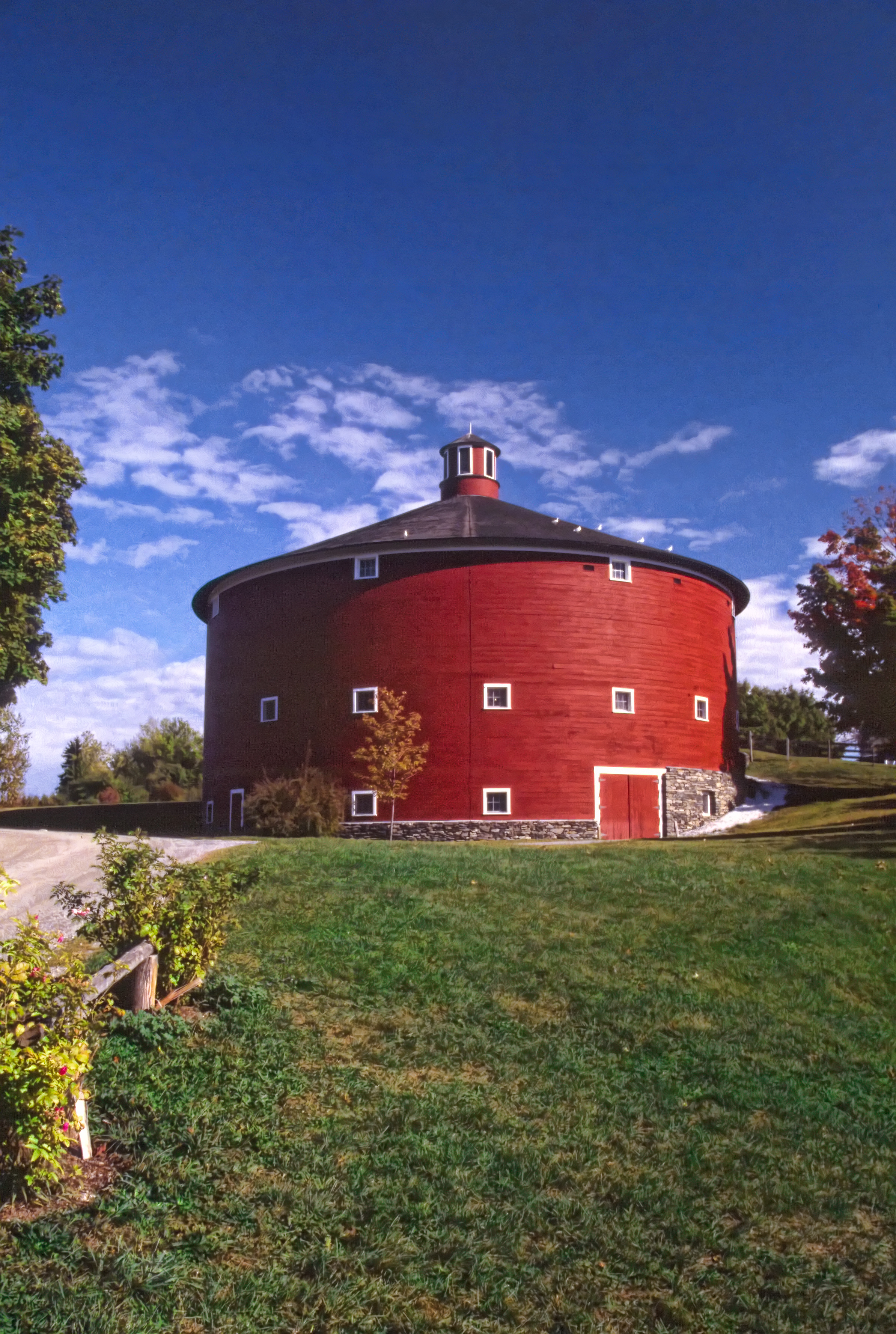
Round Barn, Shelbourne, VT
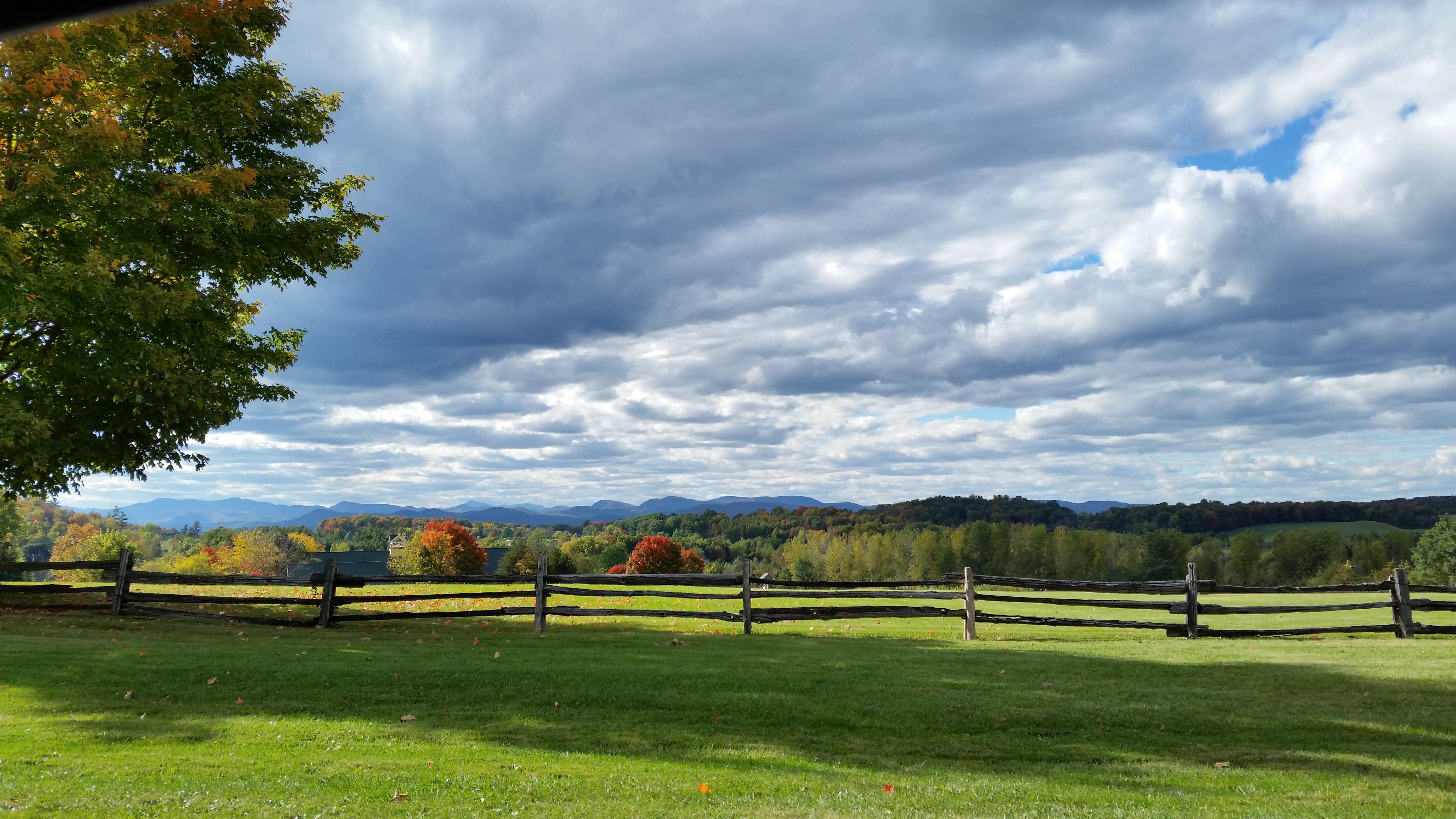
Roadside View
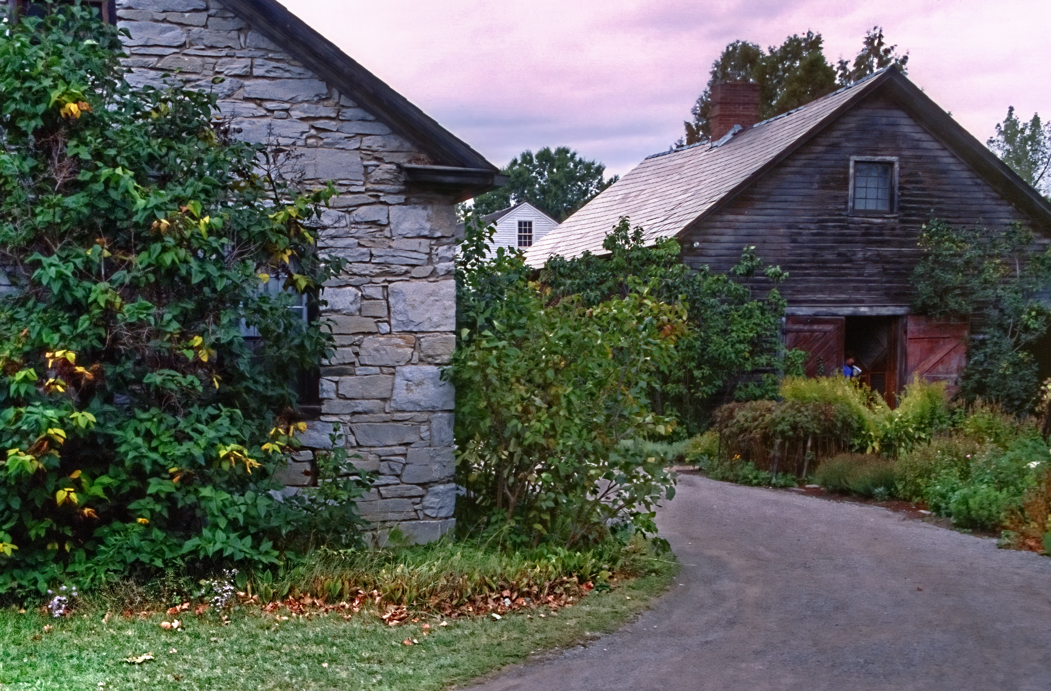
Settler's House and Barn
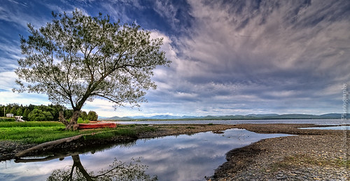
The Red Canoe
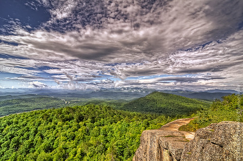
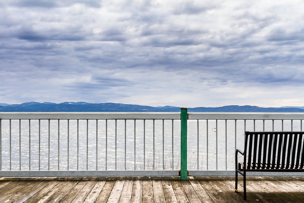
The Overlook
Adirondacks - Pokamoonshine Mountain

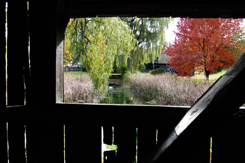
Framing the view
view from a bridge
Just a Half
TrackHead Studios - Lake Champlain
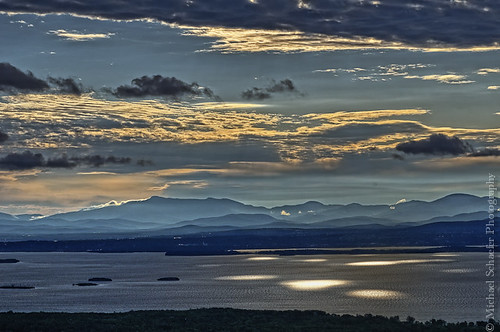
Morning Light over Lake Champlain

Another beautiful morning in Vermont.

Richardson Place (1894) – elaborate roofline

Frightening Bird's Eye View... #perspective #vantage #art #artspaces #museumspaces #museumseries Painting: "Soaring" (1950) by Andrew Wyeth (1917 - 2009)

A Bears View
Ausable Chasm, NY Rainbow Falls
Burlington Sunrise

Leddy Park
The Magic Path

Primal Dance #2
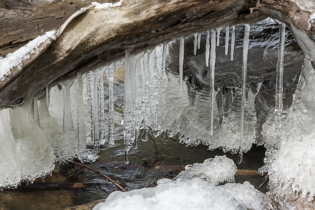
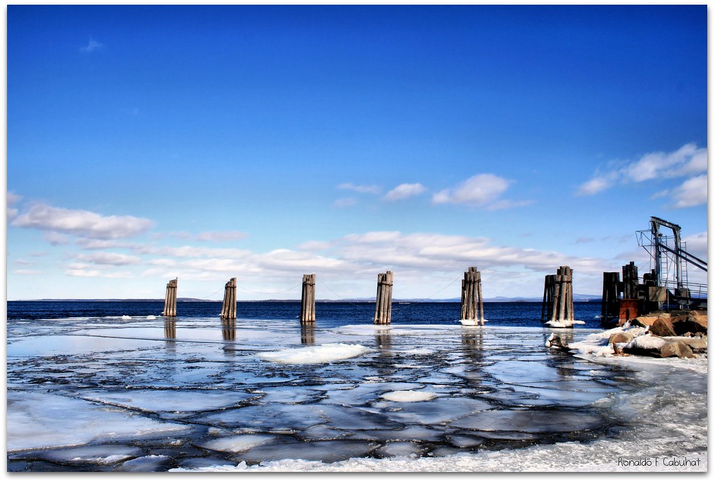
lake ice

Adirondack sunset

primal dance
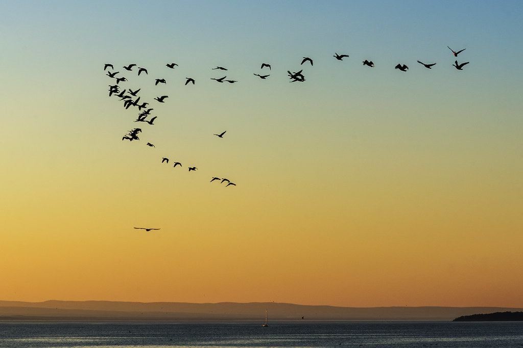
Flying South
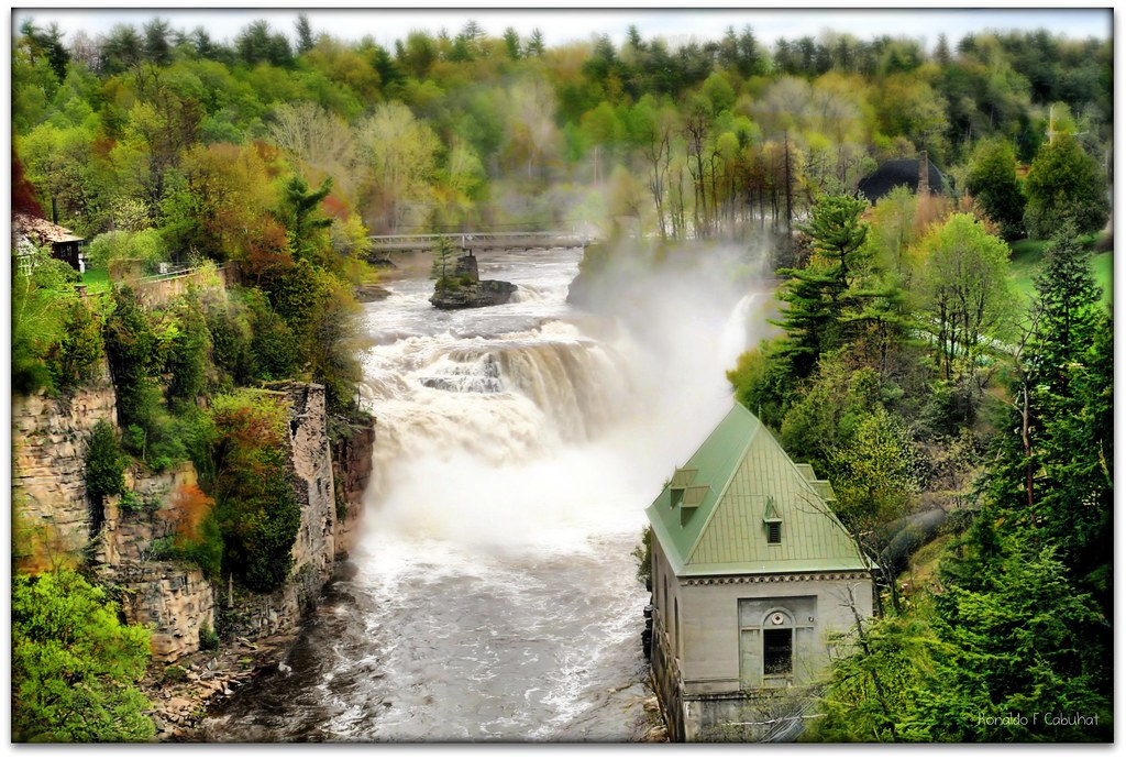
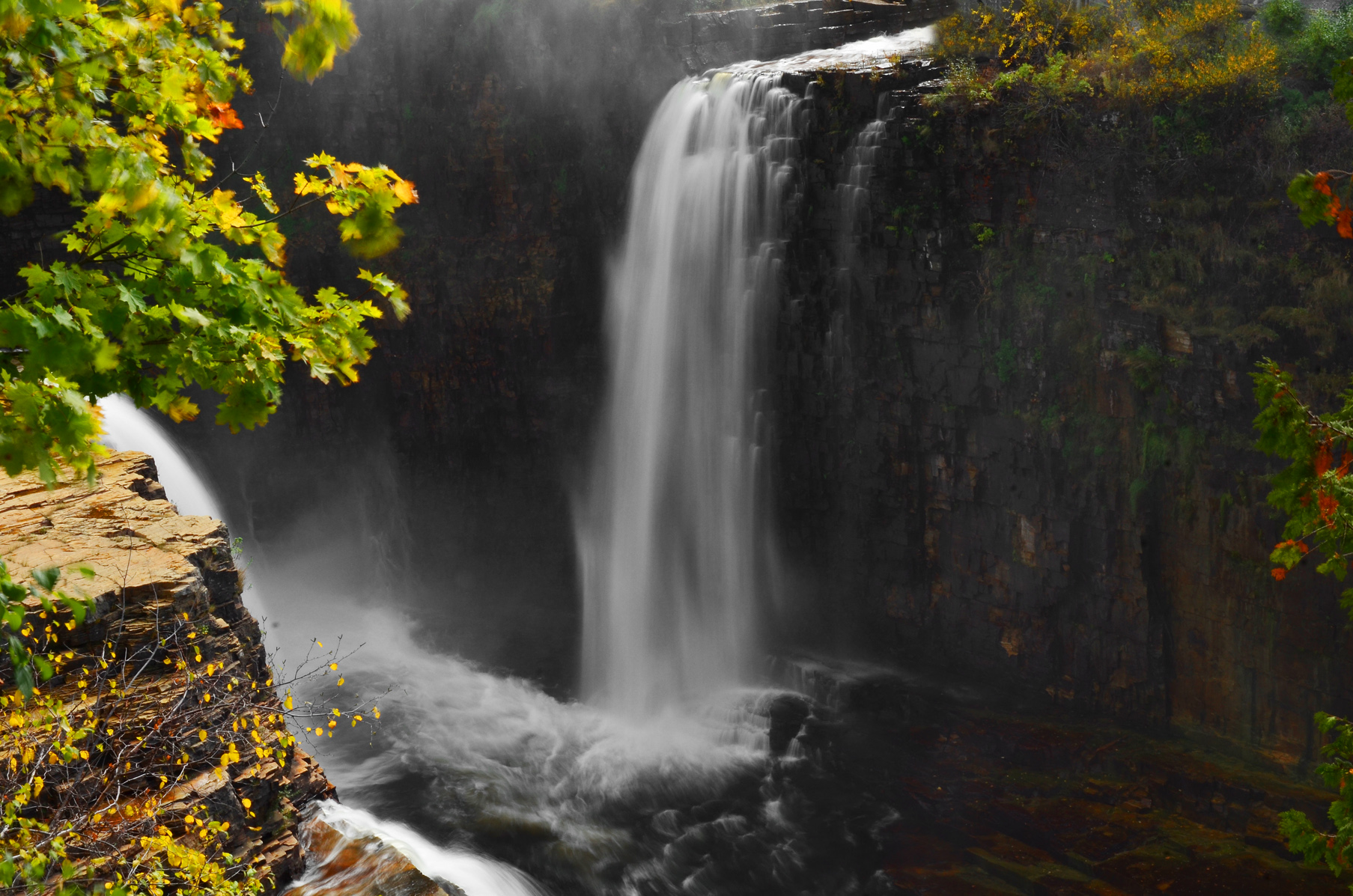
Ausable Chasm
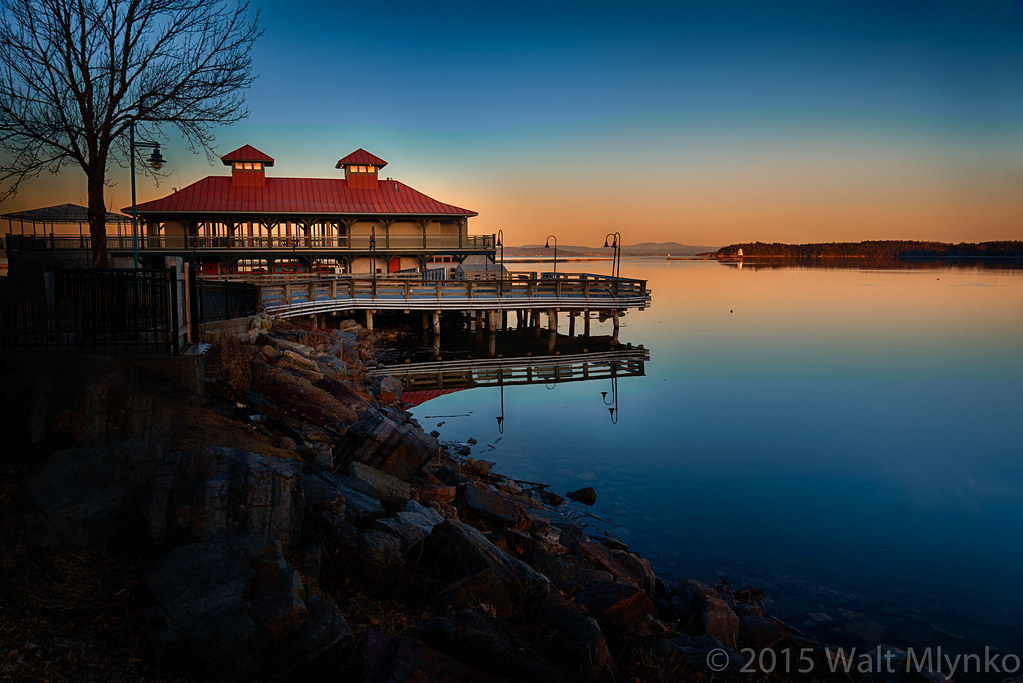
Lake Champlain
Burlington Waterfront

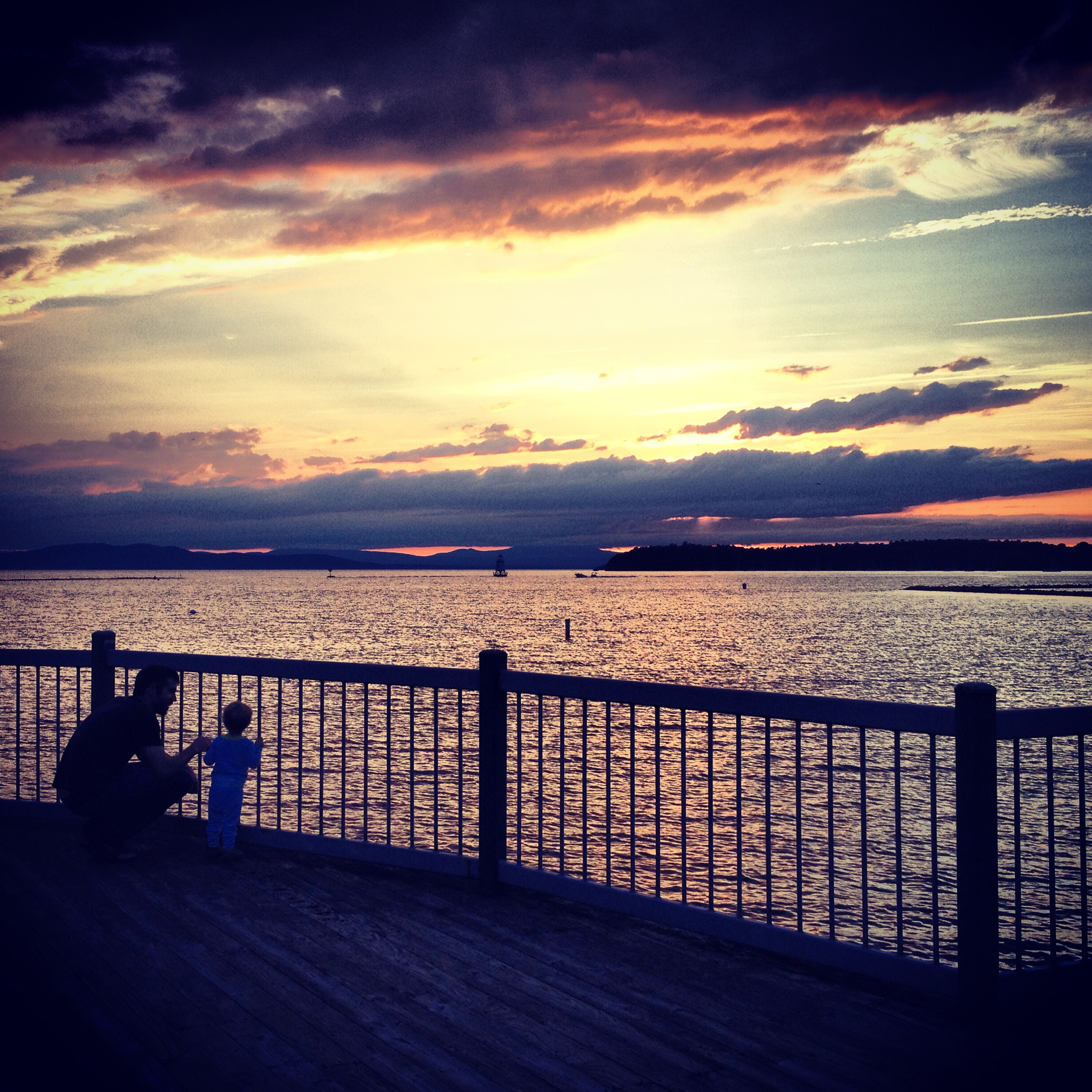
Father and Son
Ooooo...

golden sunset
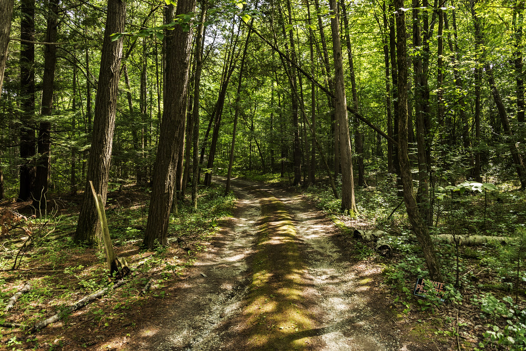
Forest path

Stunning sunset colors over the Adirondacks at #btvinstameet
Topographic Map of 12 Frisbie Rd, Willsboro, NY, USA
Find elevation by address:

Places near 12 Frisbie Rd, Willsboro, NY, USA:
707 Point Rd
560 Point Rd
6 Lilly Ln
41 Corlear Dr
Willsboro
211 Corlear Dr
215 Corlear Dr
39 Myers Way
Willsboro
Chesterfield
Essex
The Old Dock Restaurant
701 Hills Point Rd
599 Hills Point Rd
345 Hills Point Rd
203 Pheasant Hill Ln
201 Pheasant Hill Ln
439 10 Stones Cir
477 10 Stones Cir
501 10 Stones Cir
Recent Searches:
- Elevation of Jiezi, Chongzhou City, Sichuan, China
- Elevation of Chongzhou City, Sichuan, China
- Elevation of Huaiyuan, Chongzhou City, Sichuan, China
- Elevation of Qingxia, Chengdu, Sichuan, China
- Elevation of Corso Fratelli Cairoli, 35, Macerata MC, Italy
- Elevation of Tallevast Rd, Sarasota, FL, USA
- Elevation of 4th St E, Sonoma, CA, USA
- Elevation of Black Hollow Rd, Pennsdale, PA, USA
- Elevation of Oakland Ave, Williamsport, PA, USA
- Elevation of Pedrógão Grande, Portugal
- Elevation of Klee Dr, Martinsburg, WV, USA
- Elevation of Via Roma, Pieranica CR, Italy
- Elevation of Tavkvetili Mountain, Georgia
- Elevation of Hartfords Bluff Cir, Mt Pleasant, SC, USA
- Elevation of SW Barberry Dr, Beaverton, OR, USA
- Elevation of Old Ahsahka Grade, Ahsahka, ID, USA
- Elevation of State Hwy F, Pacific, MO, USA
- Elevation of Chemin de Bel air, Chem. de Bel air, Mougins, France
- Elevation of Cloverdale Dr, Bloomingdale, GA, USA
- Elevation of 3FPP+WP4, Alajuela Province, San Ramon, Costa Rica