Elevation of Hills Point Rd, Charlotte, VT, USA
Location: United States > Vermont > Chittenden County > Charlotte >
Longitude: -73.283005
Latitude: 44.344437
Elevation: 34m / 112feet
Barometric Pressure: 101KPa
Elevation Map:
Satellite Map:
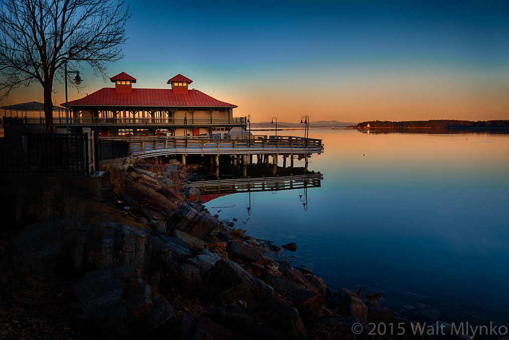
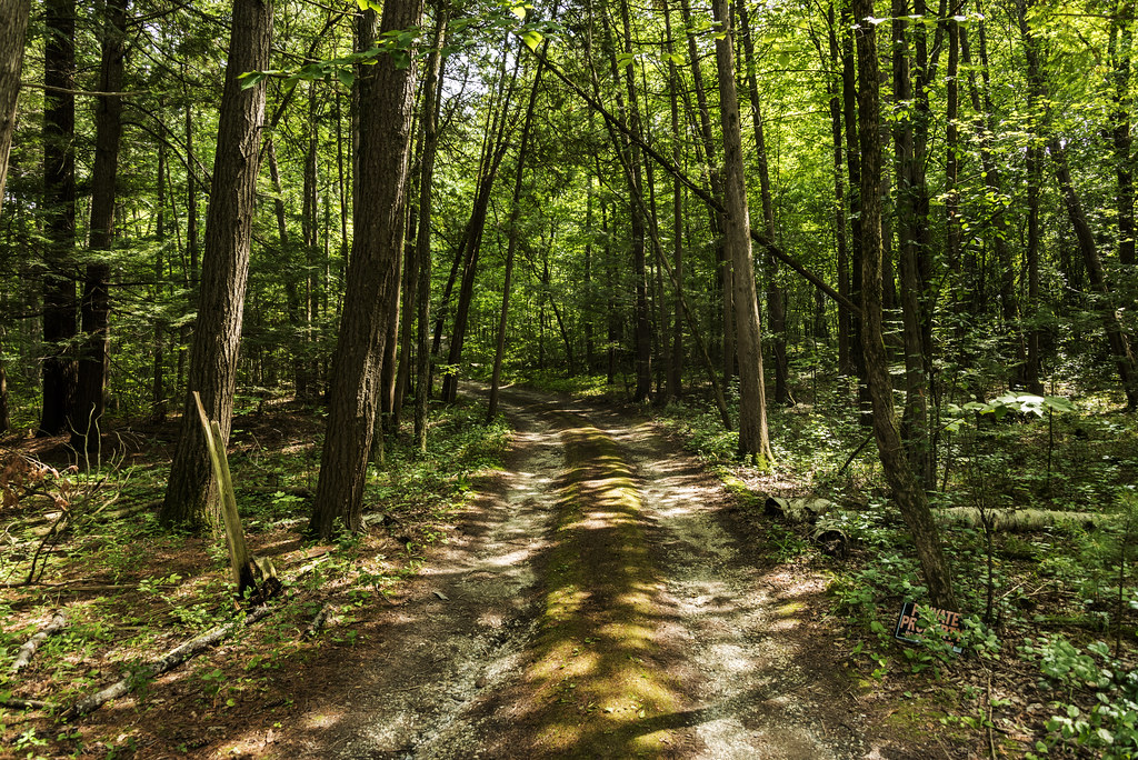
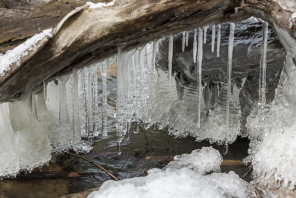
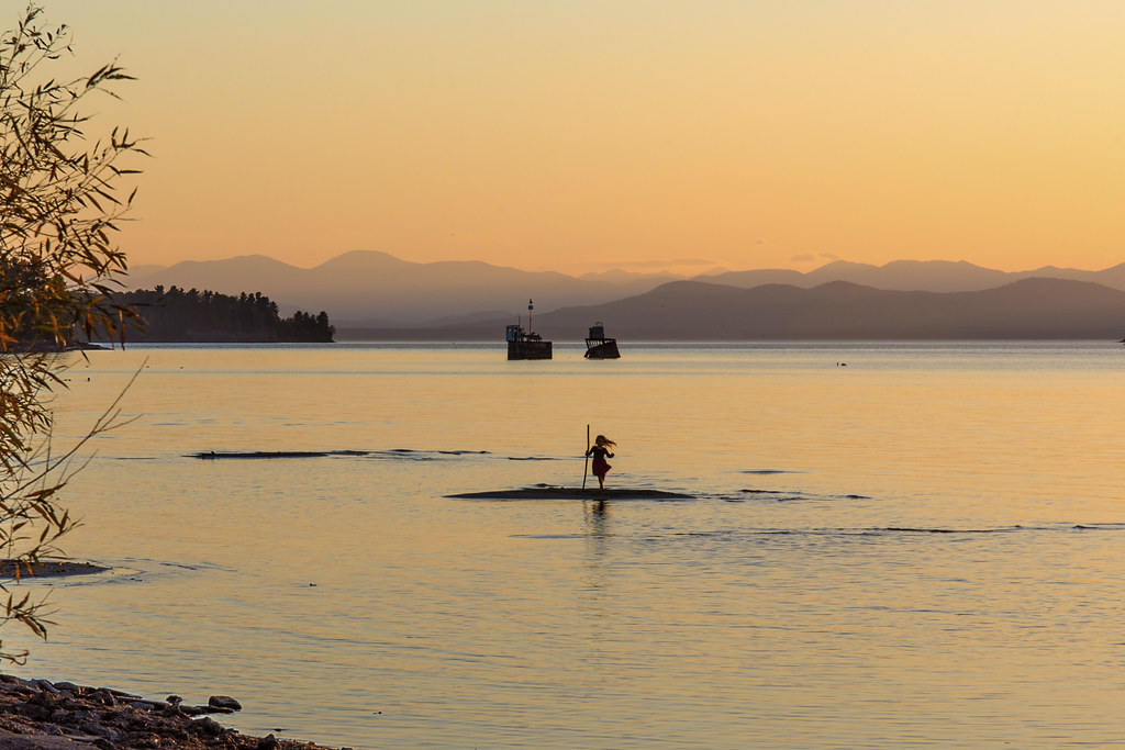
Related Photos:
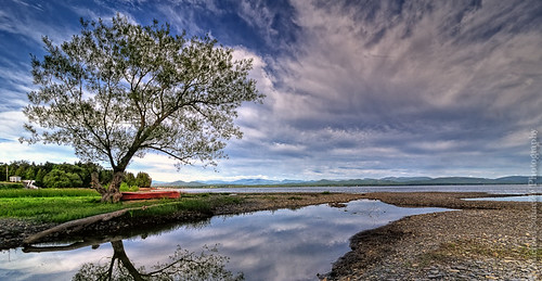
The Red Canoe
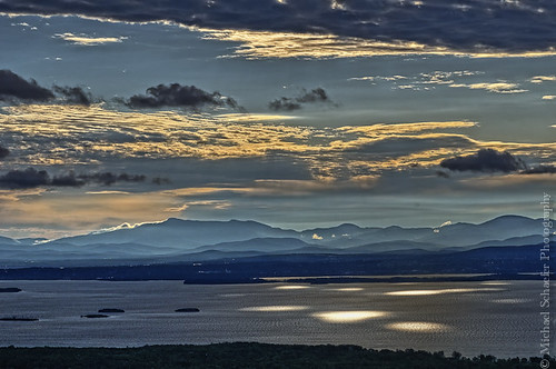
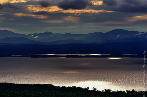
Morning Light over Lake Champlain
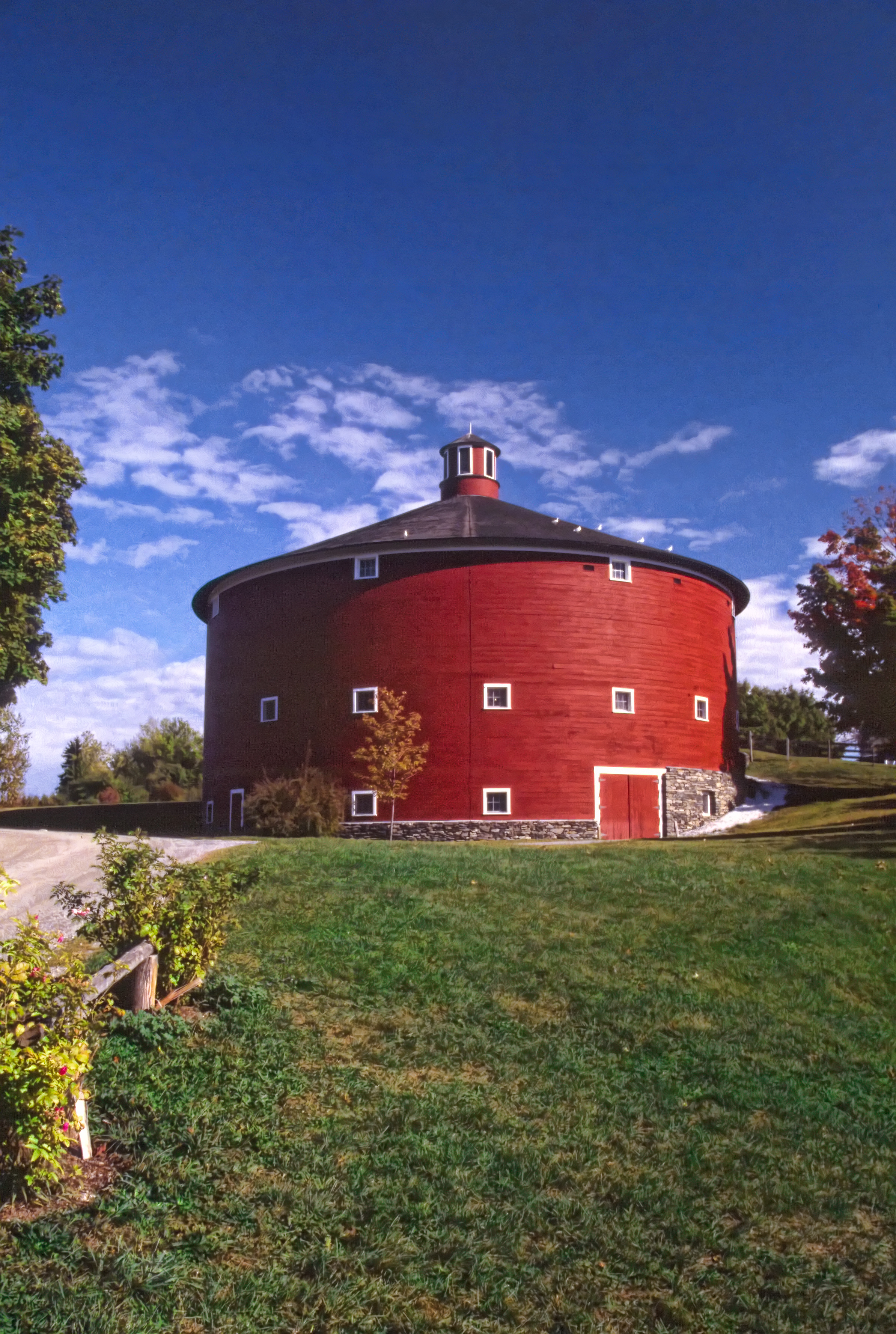
Round Barn, Shelbourne, VT
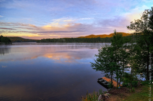
Long Pond - Willsboro, New York
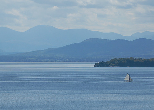
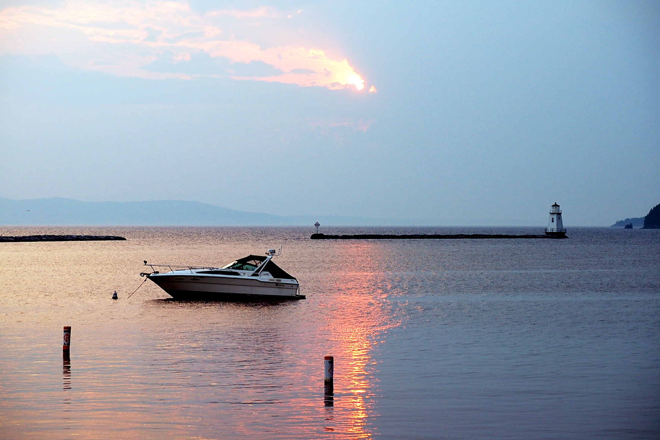
Lake Champlain
First Congregational Church (1842) – new stone porch and steps
Lake Champlain and Vermont
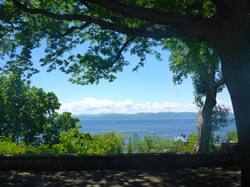
The Overlook

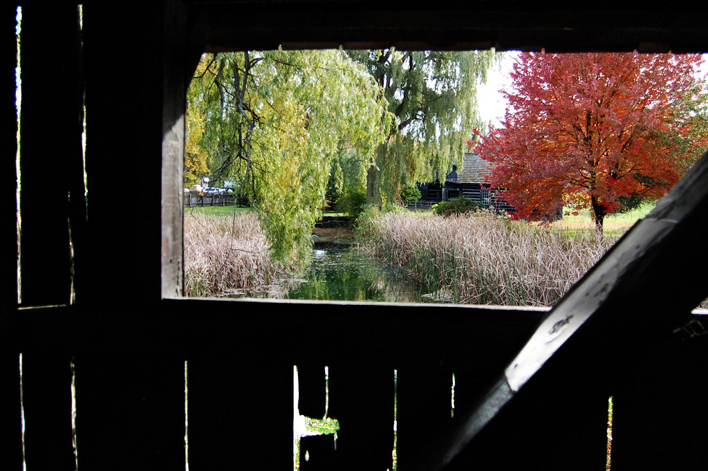
Framing the view
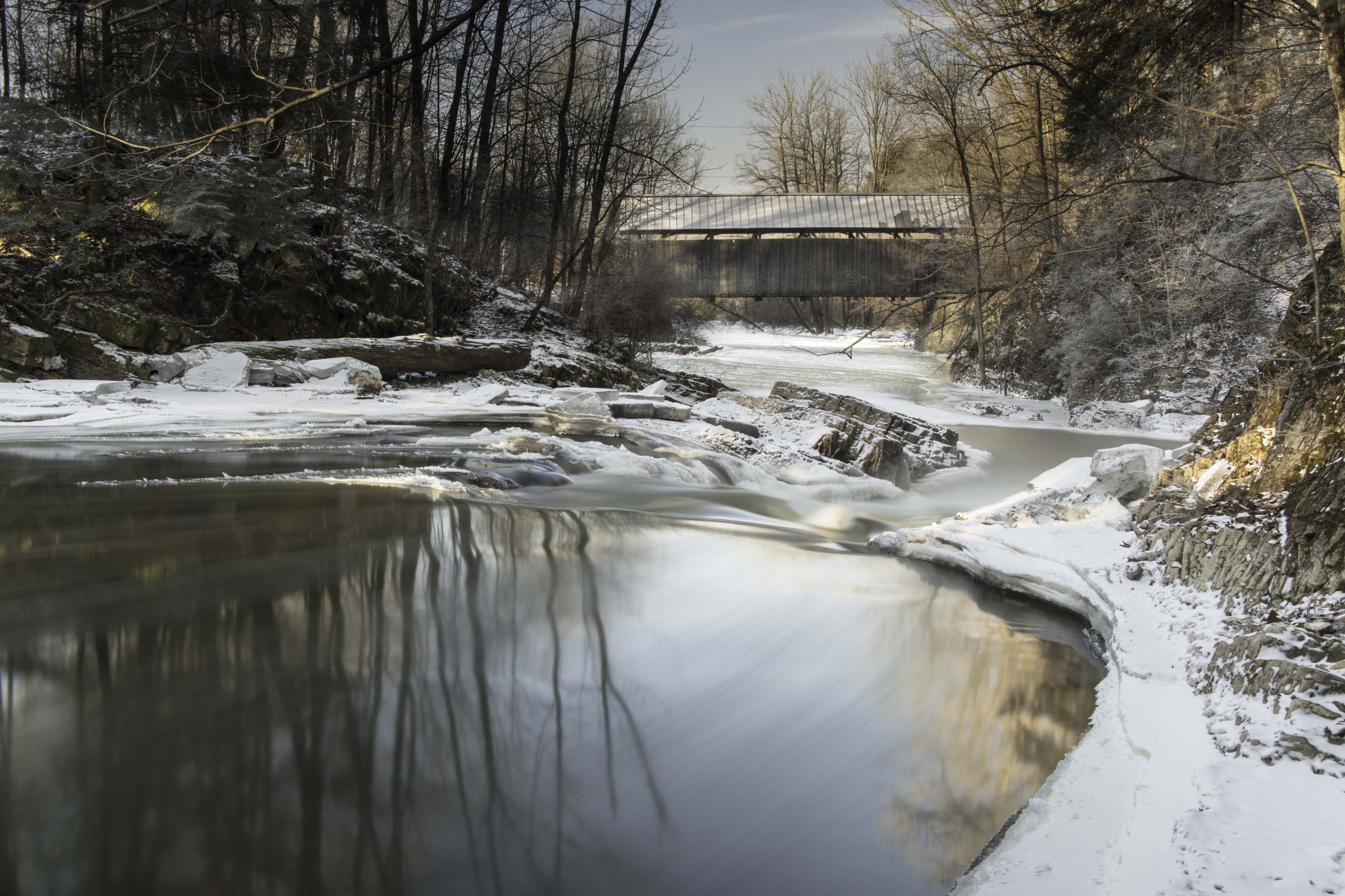
view from a bridge

The Unknown Sailor pano view
TrackHead Studios - Lake Champlain
Just a Half

Richardson Place (1894) – elaborate roofline

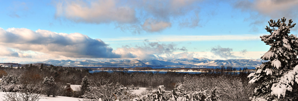
Another beautiful morning in Vermont.
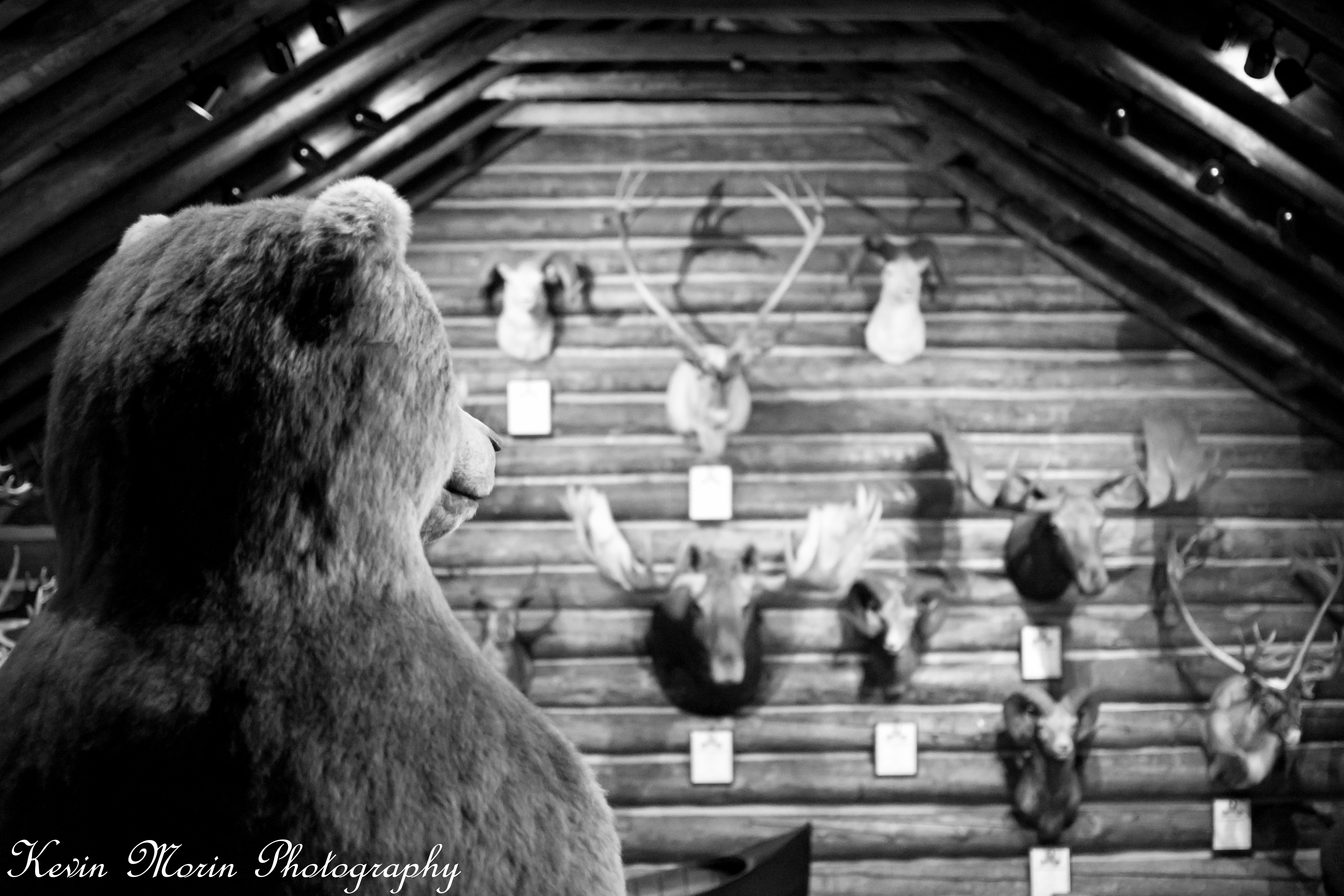
A Bears View

Lake View #btv
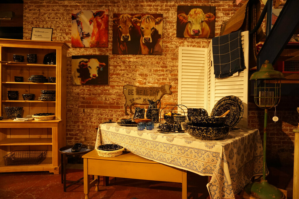
Art Shop View
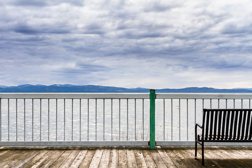
Shoreline View

The View From Below
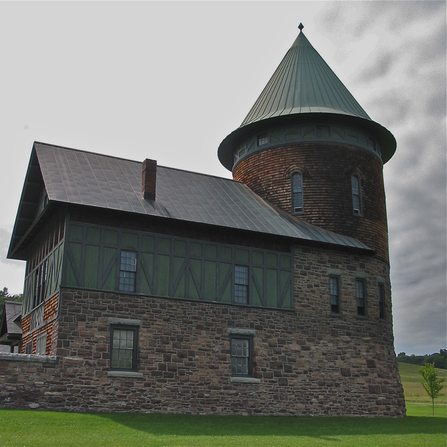
Shelburne Farms (1886) – Farm Barn (1888-90) - detail
low perspective

After the Moonset
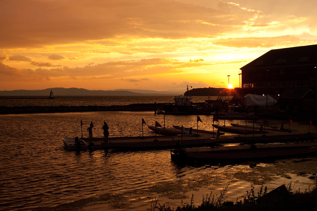
Burlington Sunrise

January Sunset
The Magic Path

Adirondack sunset
lake ice
Primal Dance #2

Puffy White Clouds
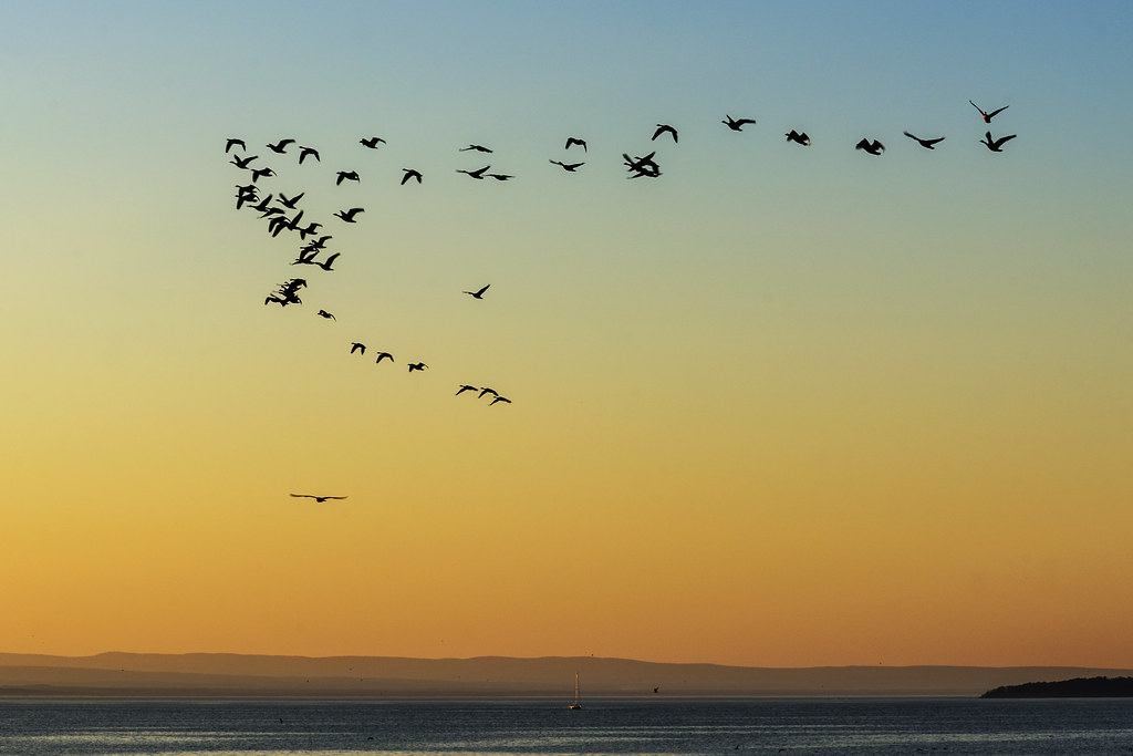
Flying South

primal dance
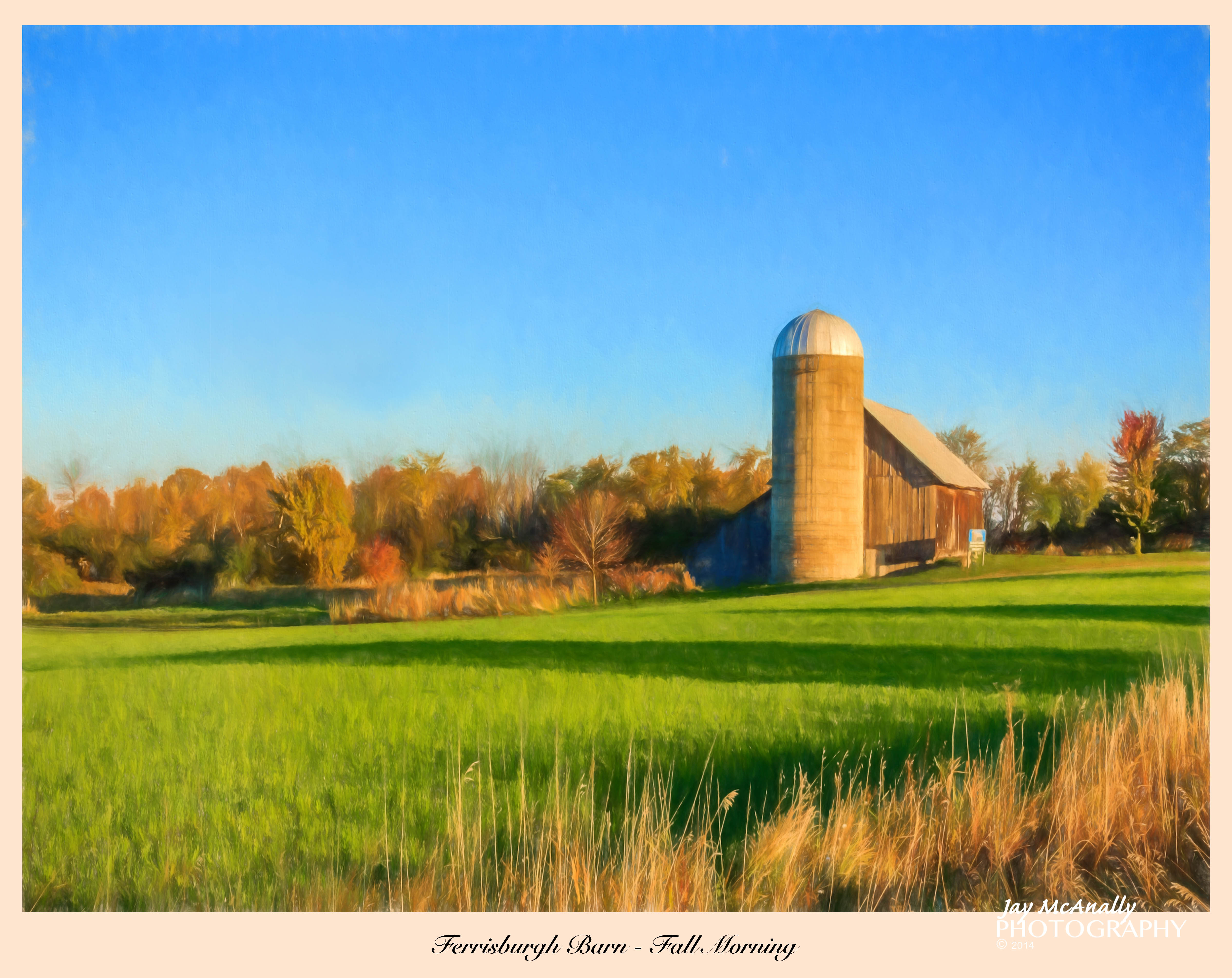
Ferrisburgh Barn - Topaz Impression | Pastel I

Ten Foot Clearance
Snow for Christmas

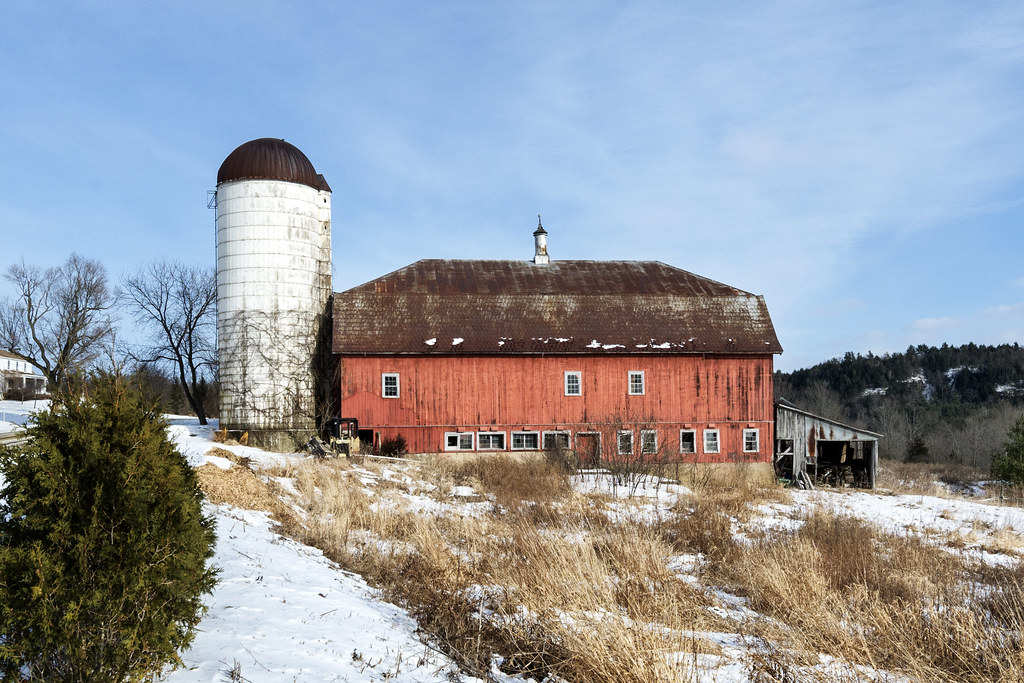
Monkton Barn (Explored!)
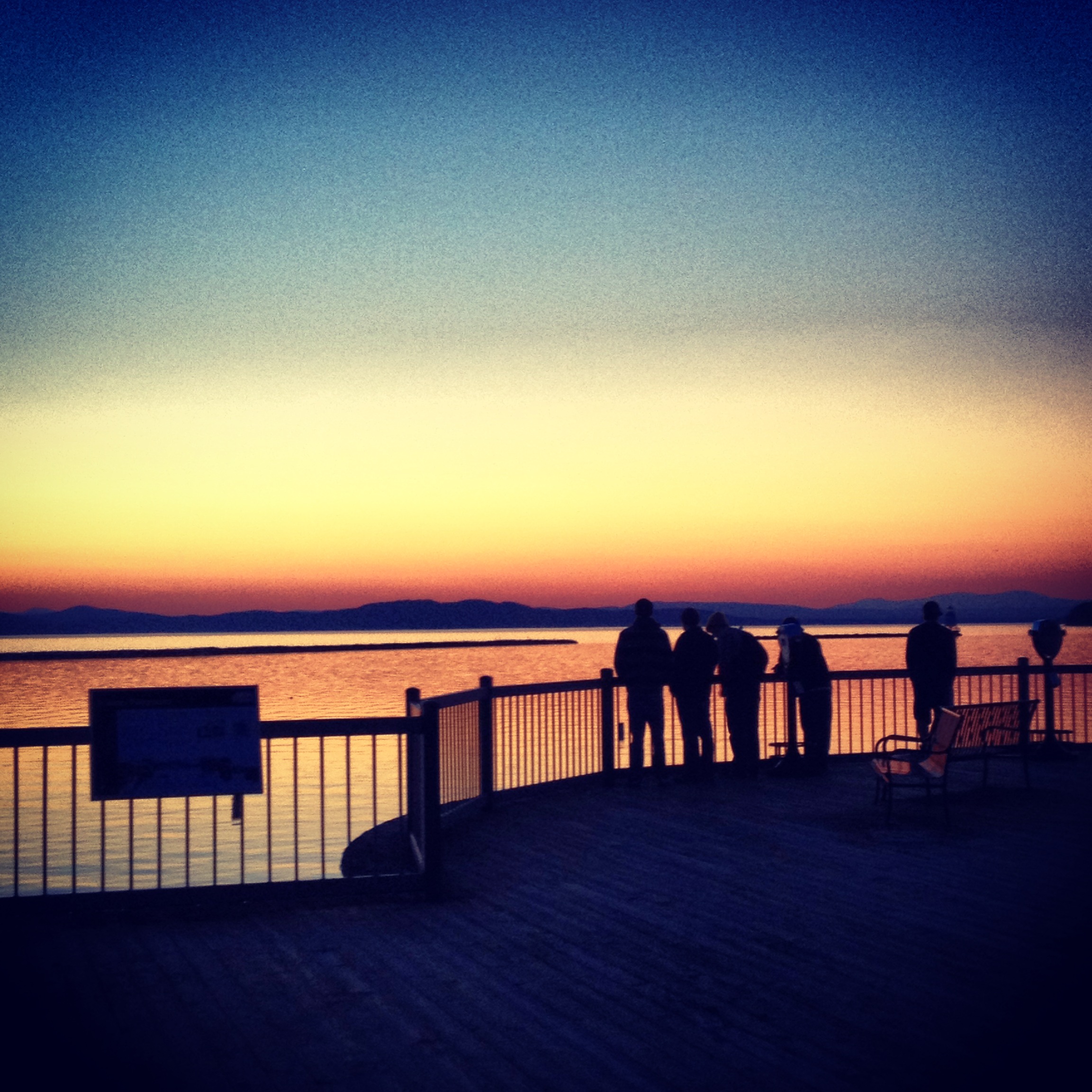
Burlington Waterfront
Seguin Covered Bridge
Ooooo...
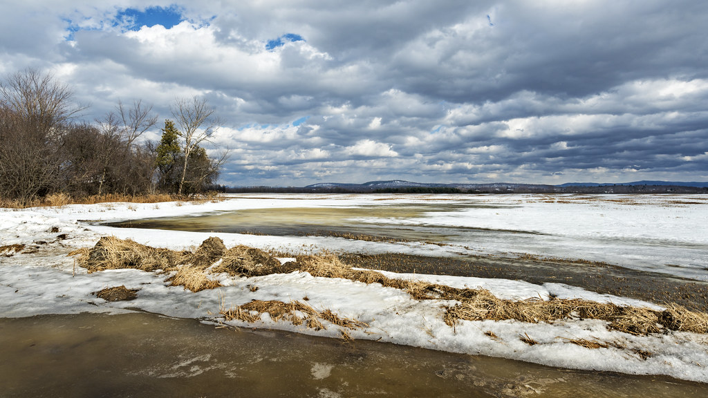
flooded field refreezing
Topographic Map of Hills Point Rd, Charlotte, VT, USA
Find elevation by address:

Places near Hills Point Rd, Charlotte, VT, USA:
599 Hills Point Rd
345 Hills Point Rd
501 10 Stones Cir
521 10 Stones Cir
543 10 Stones Cir
477 10 Stones Cir
565 10 Stones Cir
439 10 Stones Cir
245 10 Stones Cir
300 Wake Robin Dr
Charlotte
403 Ethan Allen Hwy
403 Ethan Allen Hwy
Essex - Charlotte Ferry
1450 Church Hill Rd
104 Bown Ln
366 Bown Ln
6000 Shelburne Rd
29 Harbor Rd, Shelburne, VT, USA
5288 Shelburne Rd
Recent Searches:
- Elevation of Congressional Dr, Stevensville, MD, USA
- Elevation of Bellview Rd, McLean, VA, USA
- Elevation of Stage Island Rd, Chatham, MA, USA
- Elevation of Shibuya Scramble Crossing, 21 Udagawacho, Shibuya City, Tokyo -, Japan
- Elevation of Jadagoniai, Kaunas District Municipality, Lithuania
- Elevation of Pagonija rock, Kranto 7-oji g. 8"N, Kaunas, Lithuania
- Elevation of Co Rd 87, Jamestown, CO, USA
- Elevation of Tenjo, Cundinamarca, Colombia
- Elevation of Côte-des-Neiges, Montreal, QC H4A 3J6, Canada
- Elevation of Bobcat Dr, Helena, MT, USA