Elevation of The Dardanelles West, California, USA
Location: United States > California > Arnold >
Longitude: -119.91361
Latitude: 38.3958333
Elevation: 2686m / 8812feet
Barometric Pressure: 73KPa
Elevation Map:
Satellite Map:
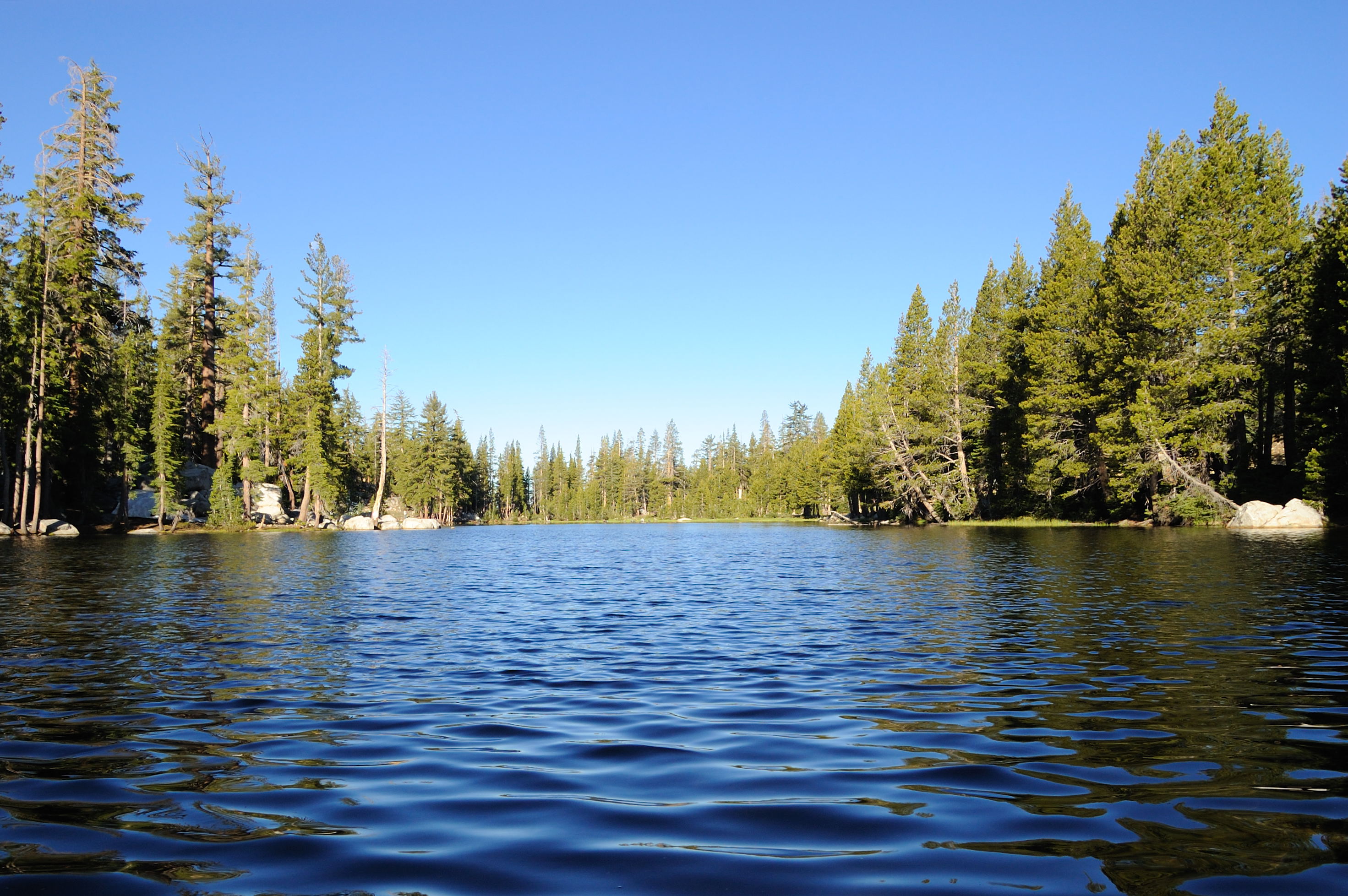
Related Photos:
dangling participle

Peaks East of Bull Run Lake
Ice View

View of Stanislaus Wilderness
A view at the top

View above Bull Run Lake
Elephant Rock Lake View
View of Mosquito Lake from down low
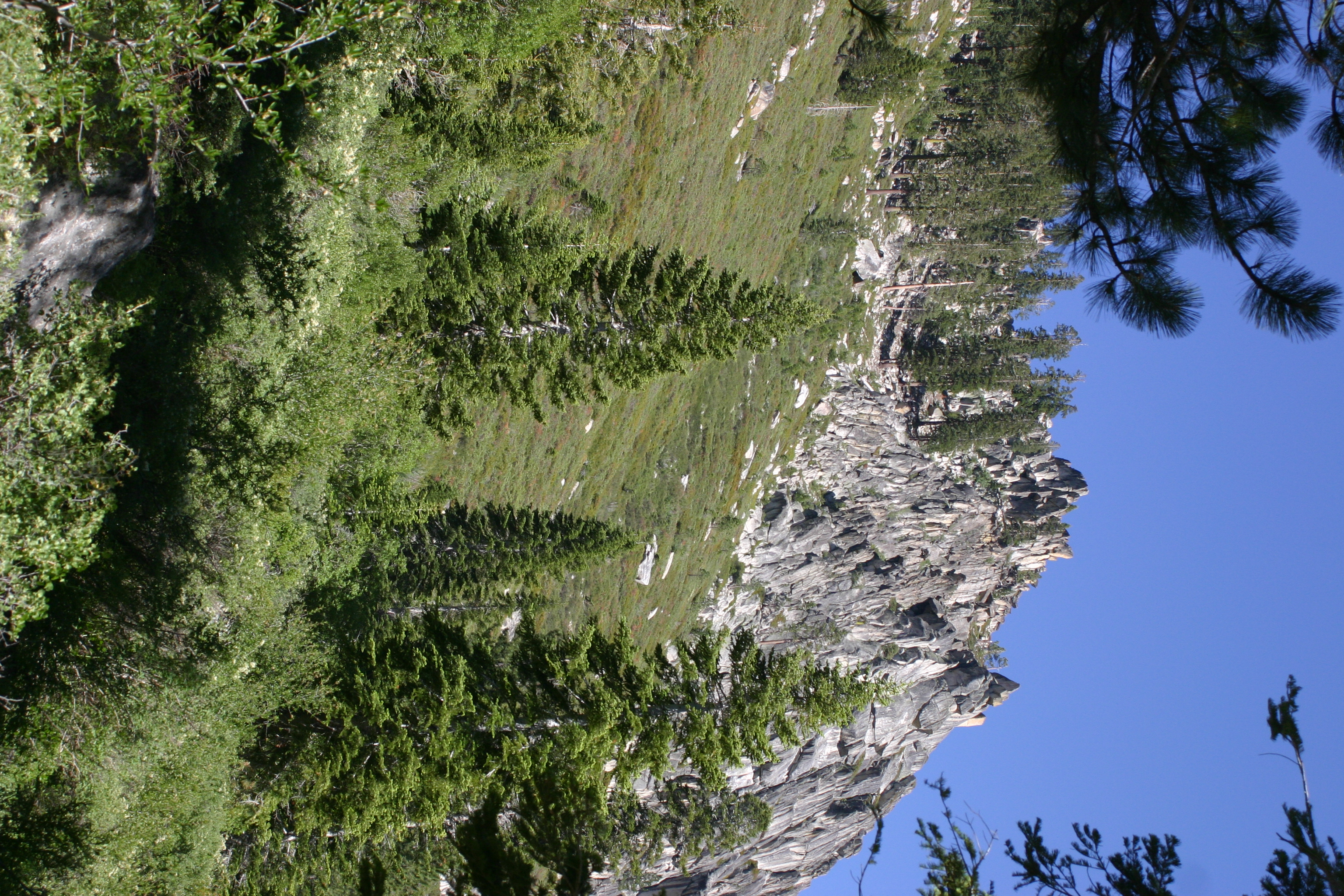
Glacier Point

campsite view too
Topographic Map of The Dardanelles West, California, USA
Find elevation by address:

Places near The Dardanelles West, California, USA:
The Dardanelles North
Bull Run Peak
Utica Reservoir
Dardanelle
Iceberg Peak
Clark Fork Campground
Airola Peak
Peep Sight Peak
Bald Peak
Folger Peak
1937 Alpine State Hwy
118 Creekside Dr
Eagle Meadow Road
Bear Valley
CA-4, Arnold, CA, USA
Homestead Road
Castle Rock
Little Buck Road
Tamarack
Stanislaus National Forest
Recent Searches:
- Elevation of Corso Fratelli Cairoli, 35, Macerata MC, Italy
- Elevation of Tallevast Rd, Sarasota, FL, USA
- Elevation of 4th St E, Sonoma, CA, USA
- Elevation of Black Hollow Rd, Pennsdale, PA, USA
- Elevation of Oakland Ave, Williamsport, PA, USA
- Elevation of Pedrógão Grande, Portugal
- Elevation of Klee Dr, Martinsburg, WV, USA
- Elevation of Via Roma, Pieranica CR, Italy
- Elevation of Tavkvetili Mountain, Georgia
- Elevation of Hartfords Bluff Cir, Mt Pleasant, SC, USA