Elevation of Bear Valley, CA, USA
Location: United States > California > Alpine County >
Longitude: -120.03990
Latitude: 38.4646337
Elevation: 2163m / 7096feet
Barometric Pressure: 78KPa
Elevation Map:
Satellite Map:
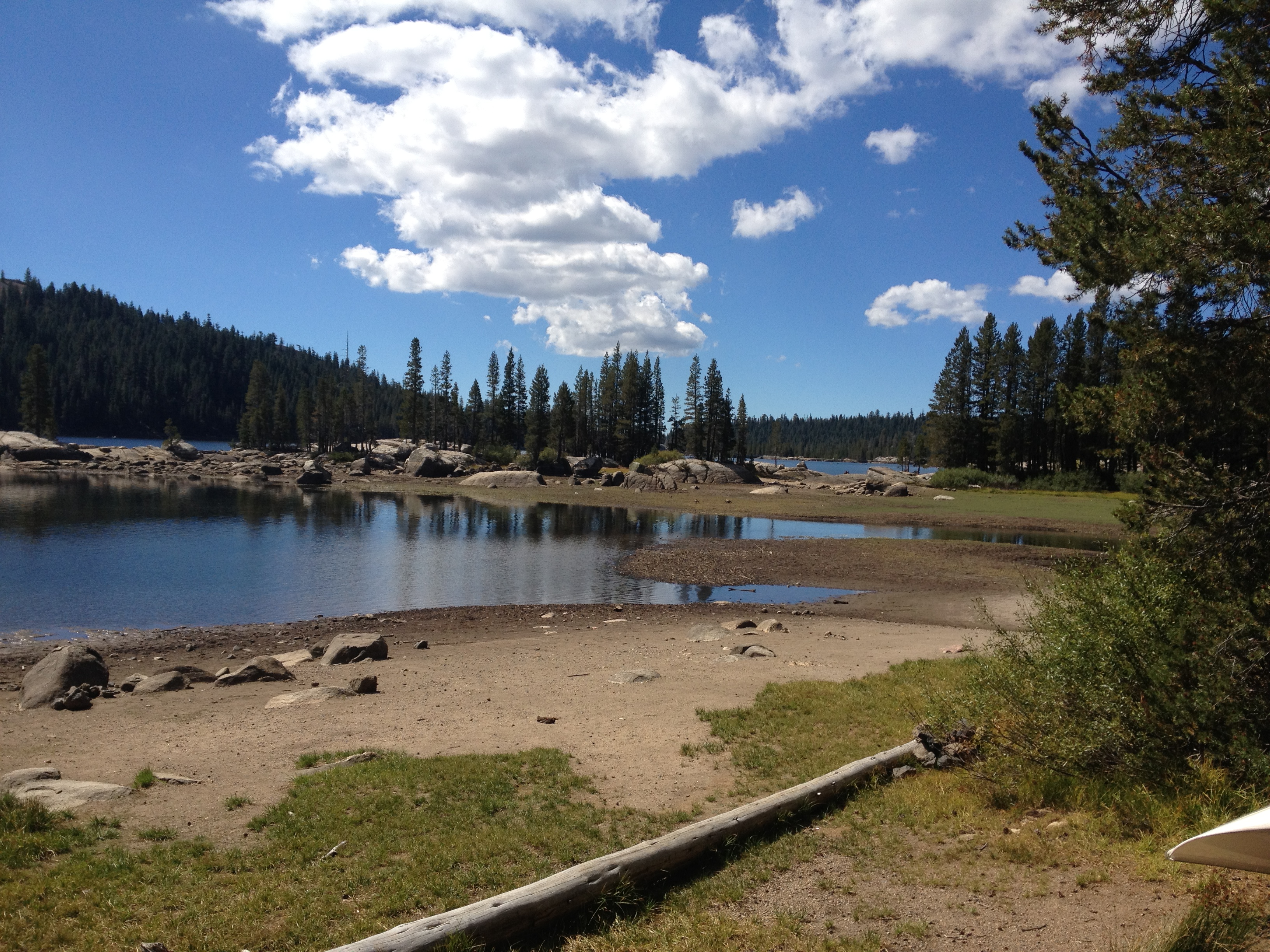
Related Photos:
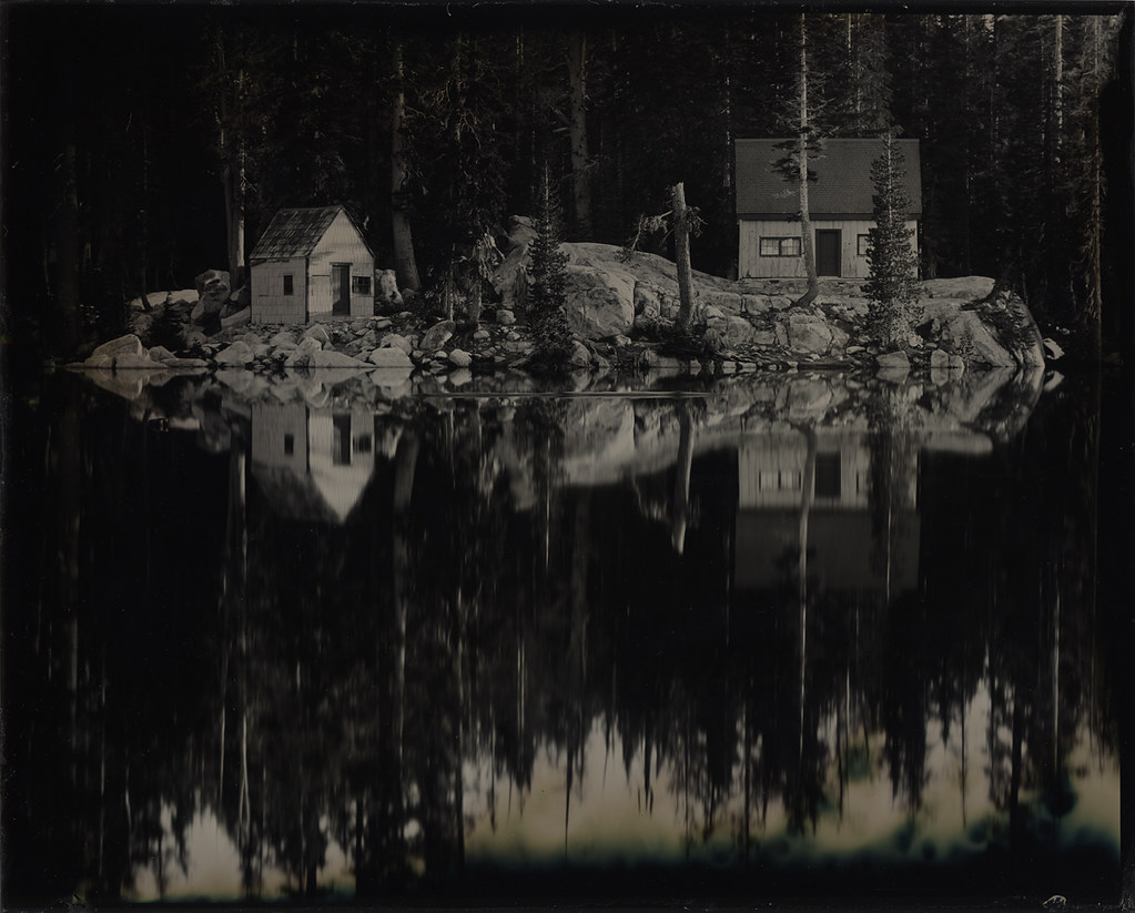
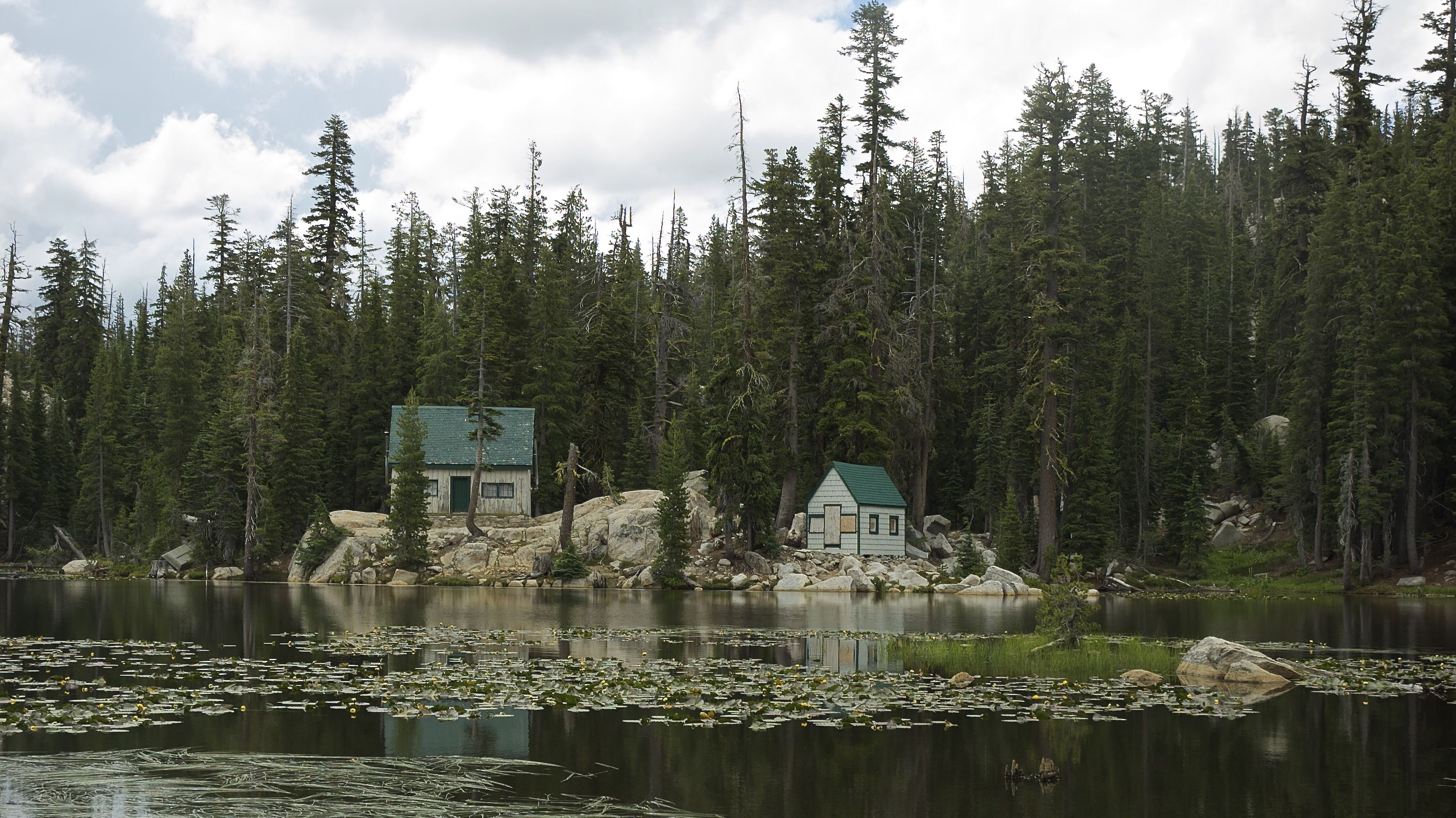
Two Cabins: Wet Plate Collodion
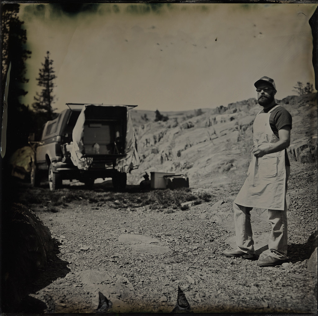
Self Portrait with Portable Darkroom
Wish you all a very happy new year 2012
Salt Springs Reservoir
Take in the view.
dangling participle
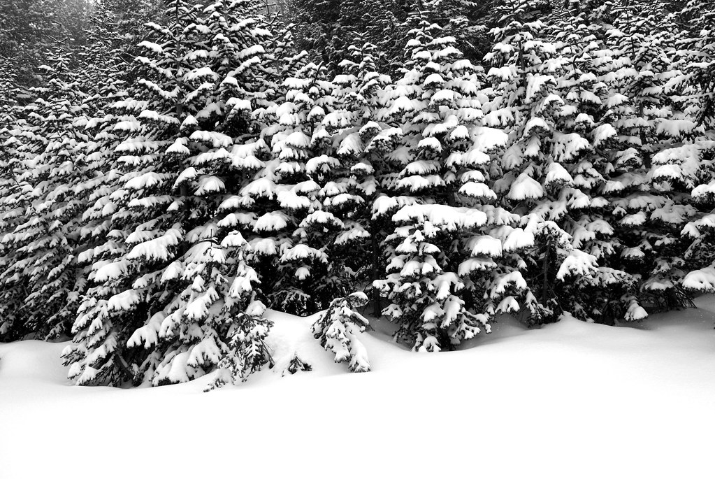
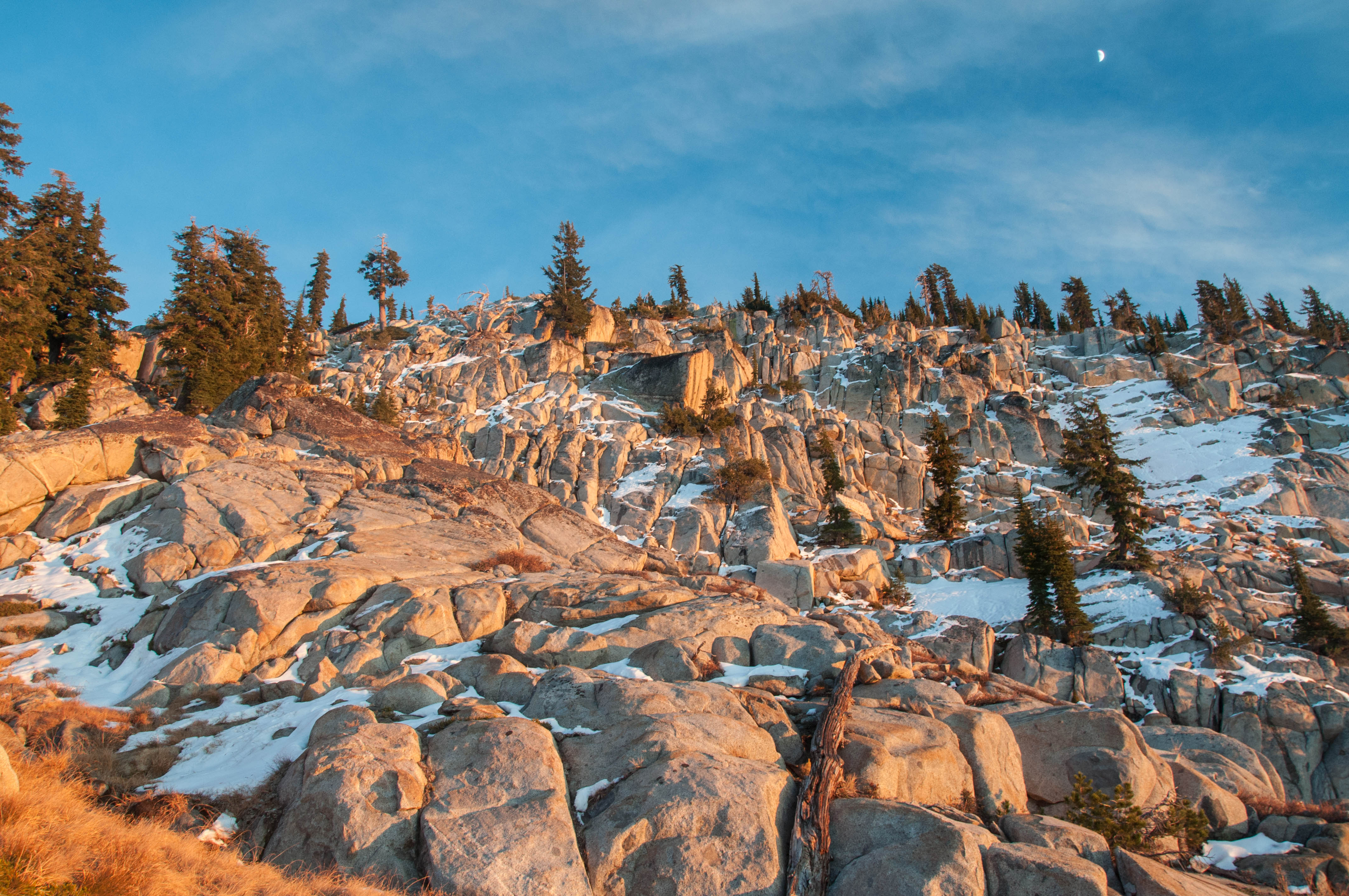
frozen shadows

Bull Run Lake Panorama
Man Vs Nature
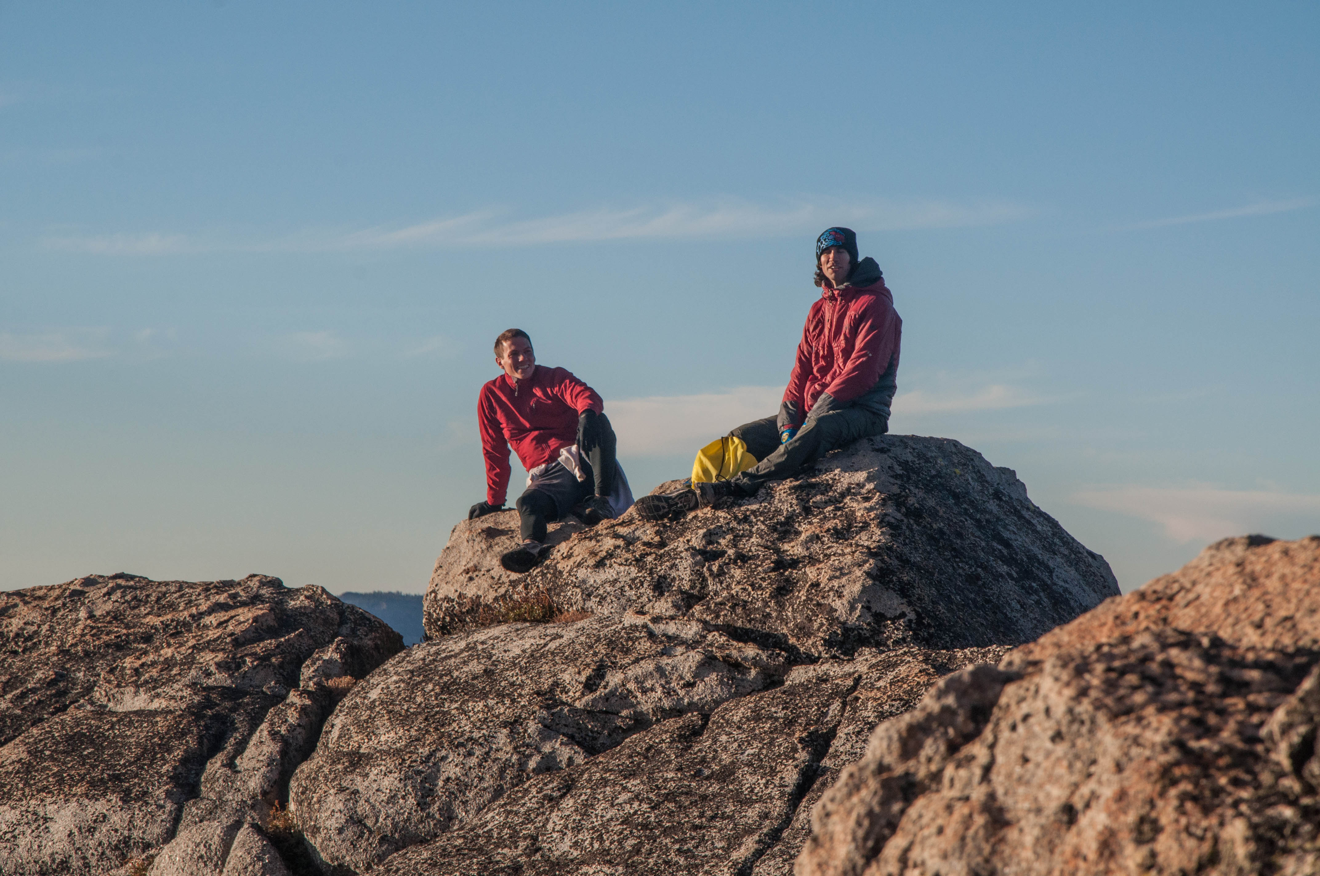
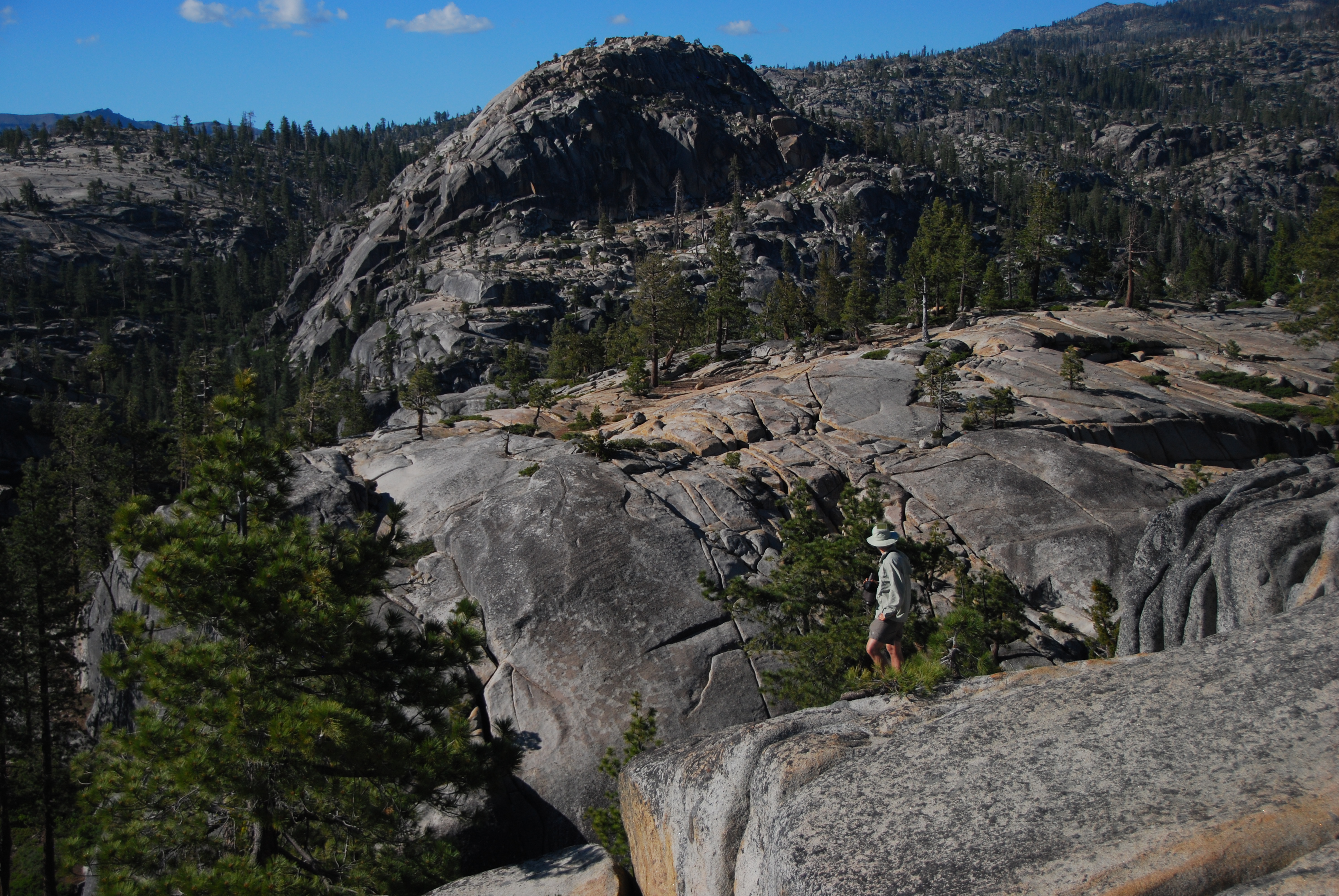
A view at the top
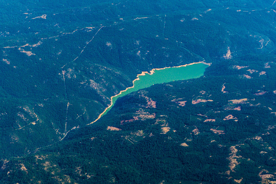
Areial View of Beardsley Lake, Tuolumne County, CA

Heiser Lake Panorama

Peaks East of Bull Run Lake

View of Stanislaus Wilderness
Assembly in Mountain View
Elephant Rock Lake View
View of Mosquito Lake from down low
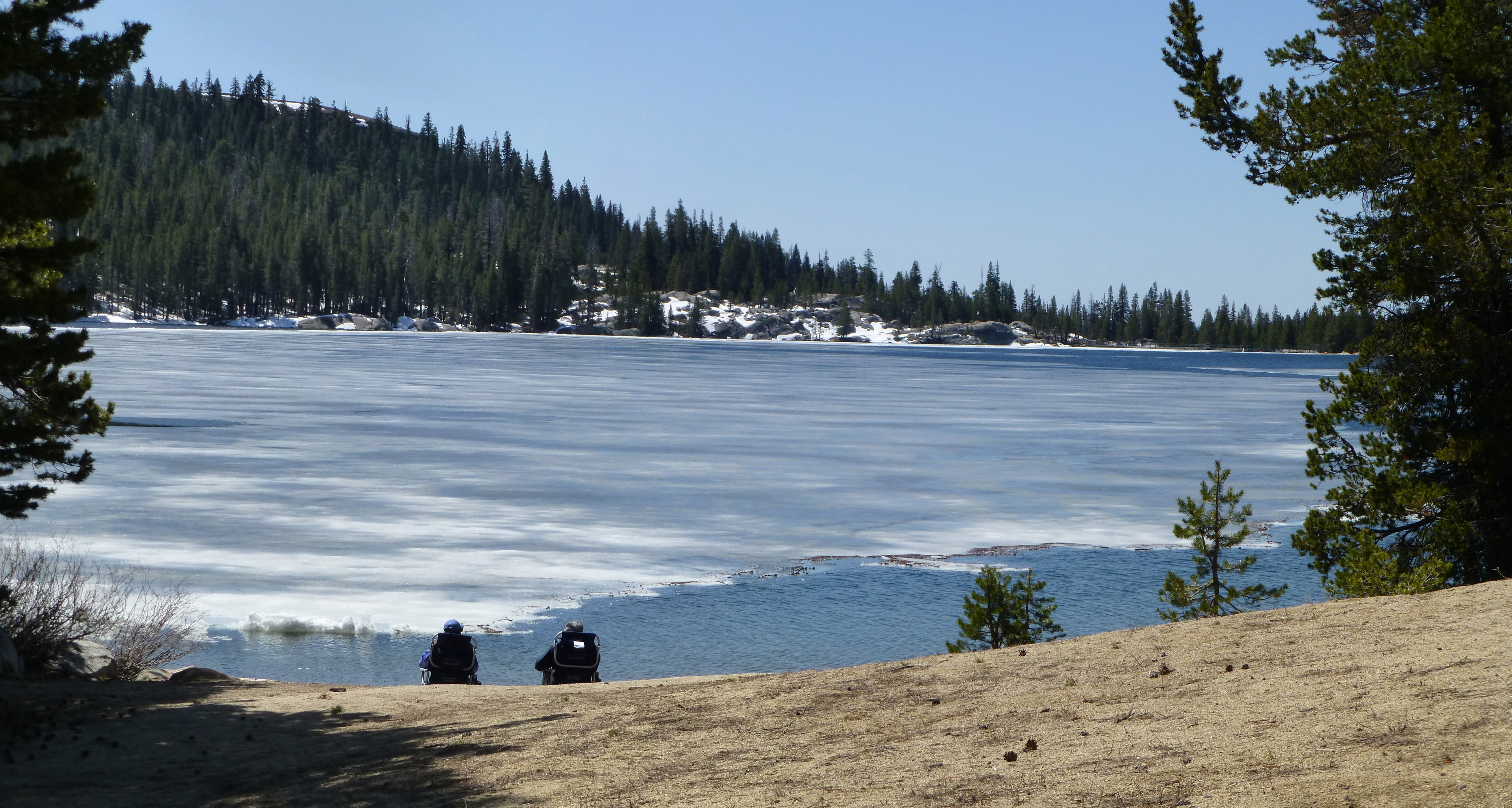
Ice View

View above Bull Run Lake

Circular Scrapes
one of the crowd
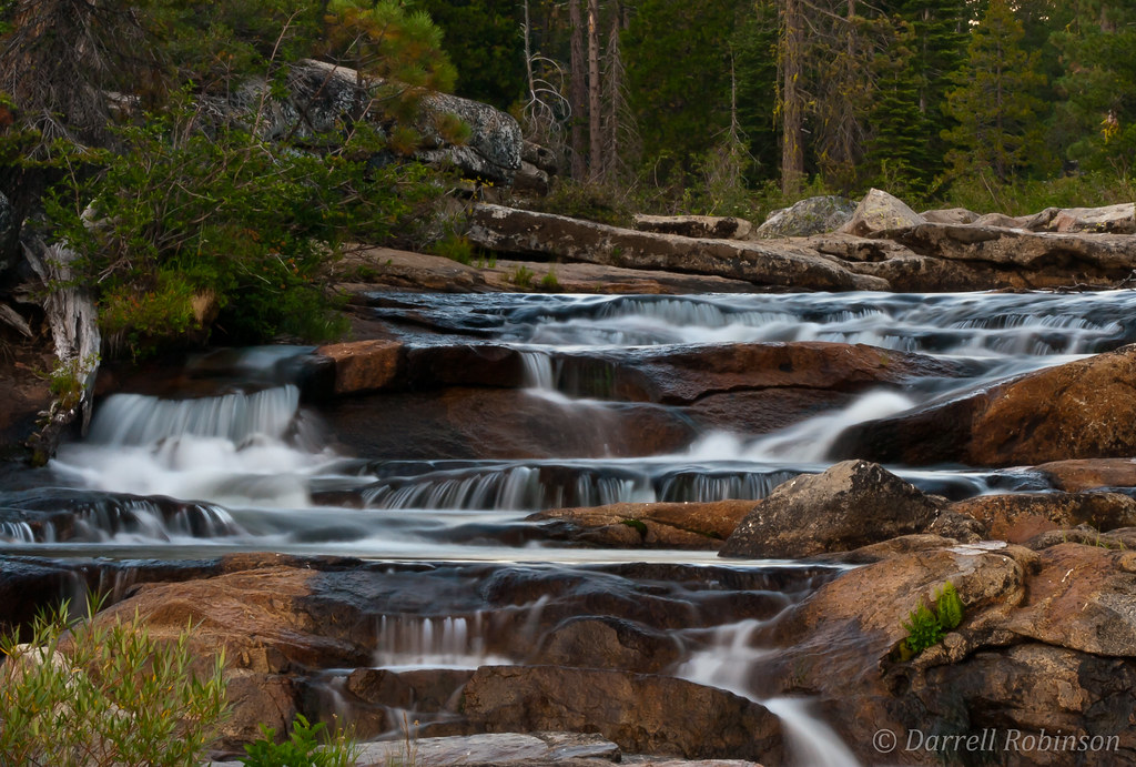
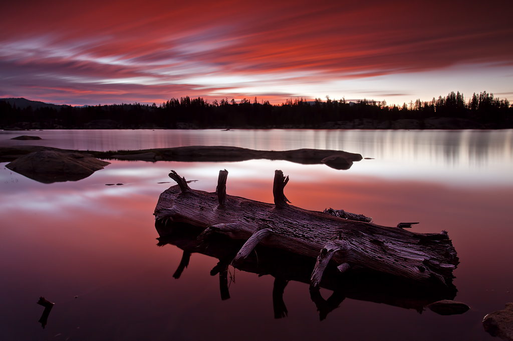
Evening at the Cascades
Logging Time: Sierra Nevada

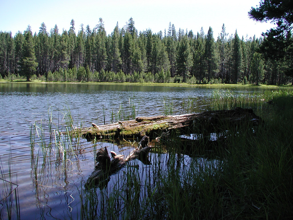
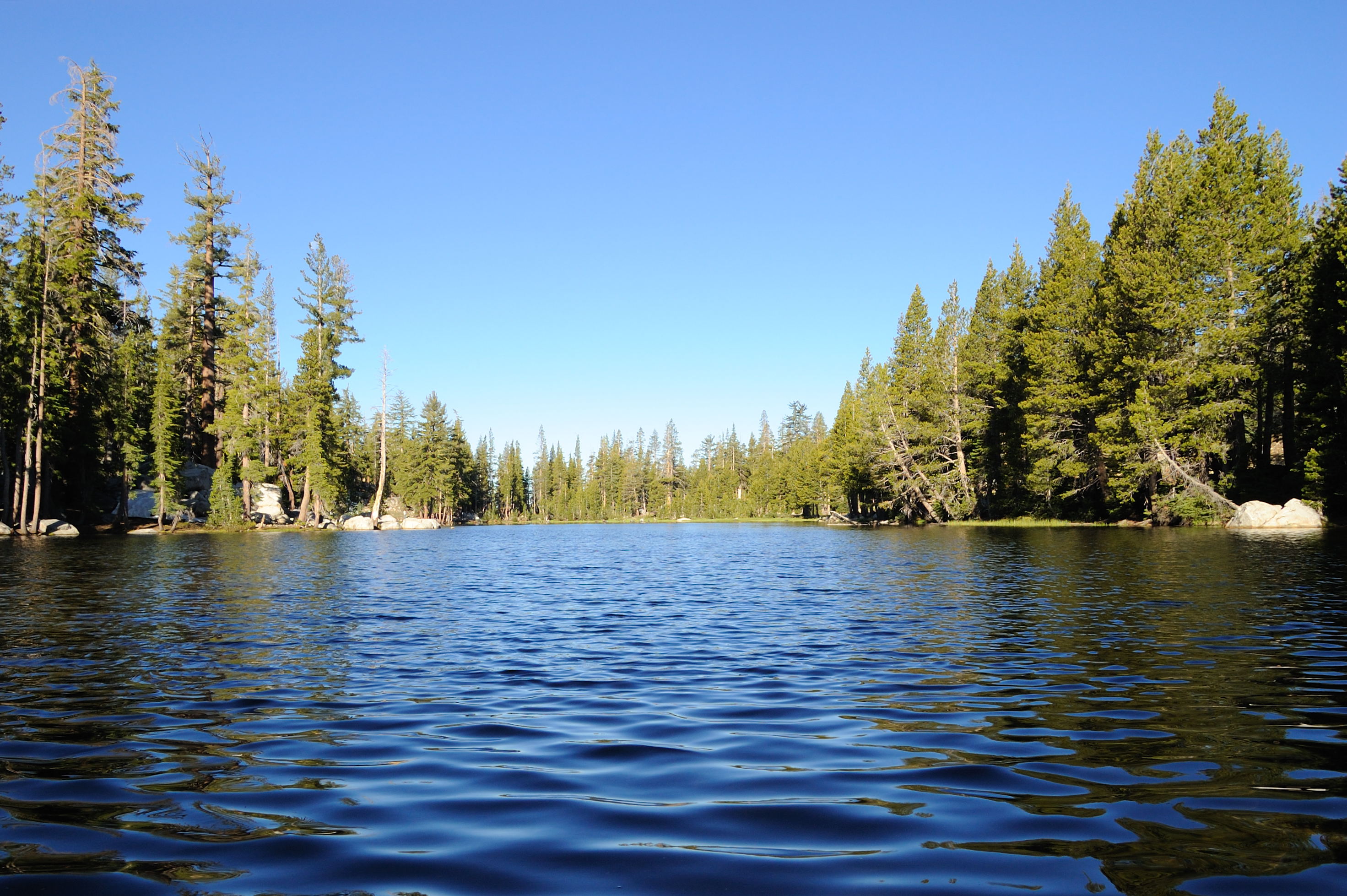
Mosquito lake, CA.
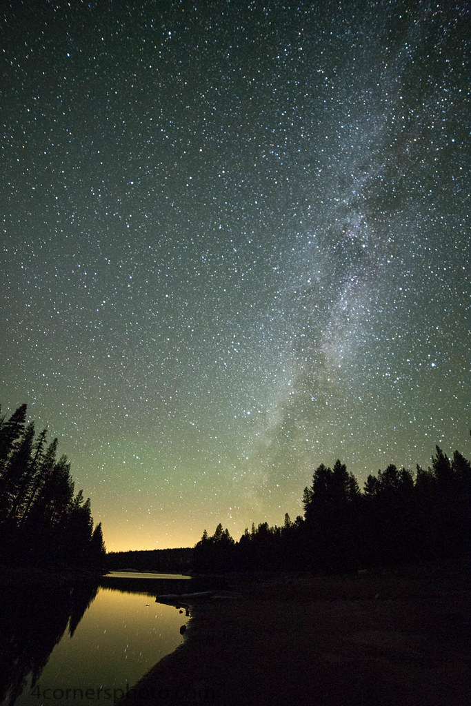
Milky Way, Alpine County, CA
DSC_0016-a5

Tanglefoot Canyon Trail
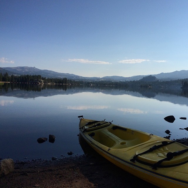
From last weekend... Fishing, kayaking, camping... With my favorite person @dreaminlow54
Lake Alpine in Early Summer
Last day of the season
Great day today.
The Mountains of Alpine County

Tanglefoot Canyon Trail
Half Dome, is that you?

BB Amazingly Amazing Ride
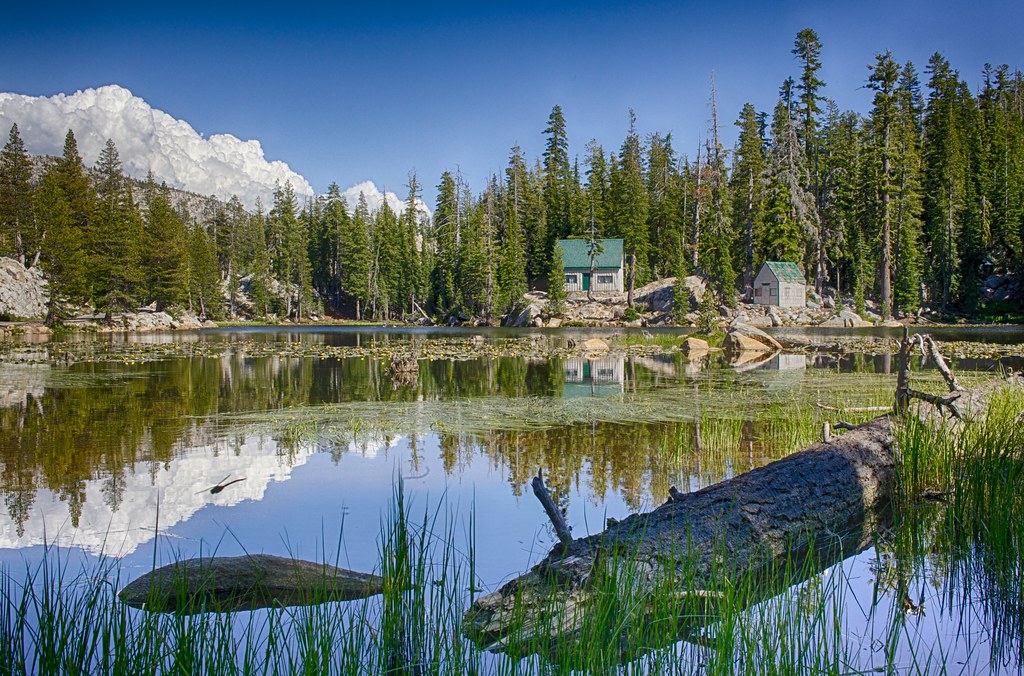
Mosquito Lake

Blue up white down ⛷⛷. . . . . #bluesky #skiing #boston #creative #neverstopexploring #explore #photography #instagood #instaphoto #picoftheday #fff #eastcoast #adventure #discoveraround #justgoshoot #igers #igersboston #thecreatorclass #cc #theuncommonbo
Moon's Out
Hiking back down
2012-09-07 11.19.34
Topographic Map of Bear Valley, CA, USA
Find elevation by address:

Places in Bear Valley, CA, USA:
Places near Bear Valley, CA, USA:
118 Creekside Dr
CA-4, Arnold, CA, USA
Homestead Road
Little Buck Road
Tamarack
Utica Reservoir
Mountain View Rd, Arnold, CA, USA
CA-4, Camp Connell, CA, USA
14747 Ca-4
CA-4, Camp Connell, CA, USA
The Dardanelles West
Bull Run Peak
1937 Alpine State Hwy
The Dardanelles North
Deadwood Peak
Peep Sight Peak
Plasse's Resort
Plasse Rd, Pioneer, CA, USA
Thimble Peak
Bear River Reservoir
Recent Searches:
- Elevation of Corso Fratelli Cairoli, 35, Macerata MC, Italy
- Elevation of Tallevast Rd, Sarasota, FL, USA
- Elevation of 4th St E, Sonoma, CA, USA
- Elevation of Black Hollow Rd, Pennsdale, PA, USA
- Elevation of Oakland Ave, Williamsport, PA, USA
- Elevation of Pedrógão Grande, Portugal
- Elevation of Klee Dr, Martinsburg, WV, USA
- Elevation of Via Roma, Pieranica CR, Italy
- Elevation of Tavkvetili Mountain, Georgia
- Elevation of Hartfords Bluff Cir, Mt Pleasant, SC, USA