Elevation of CA-4, Camp Connell, CA, USA
Location: United States > California > Calaveras County > Camp Connell >
Longitude: -120.11569
Latitude: 38.416576
Elevation: 2012m / 6601feet
Barometric Pressure: 79KPa
Elevation Map:
Satellite Map:
Related Photos:
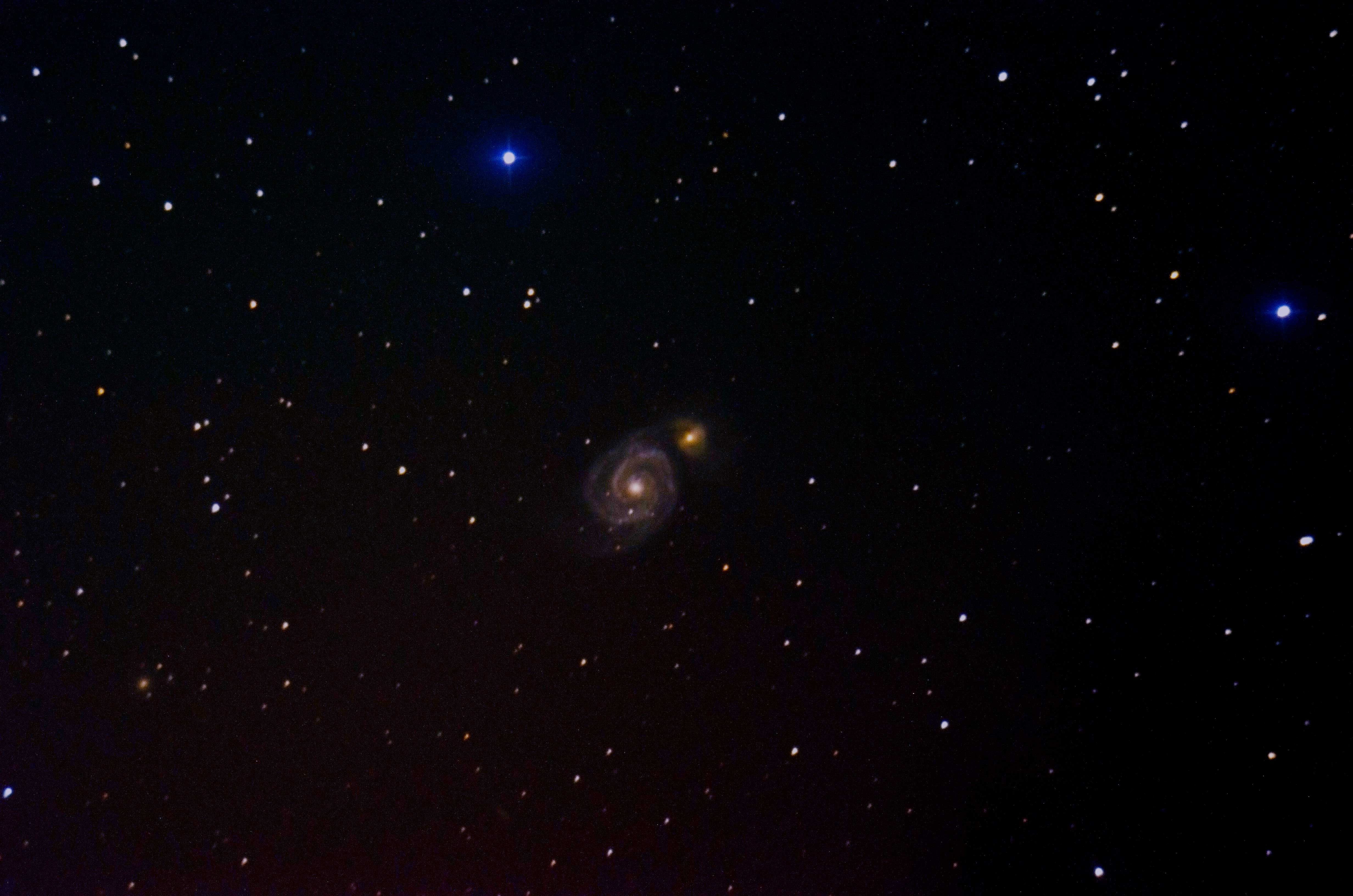
M51 Whirlpool Galaxy
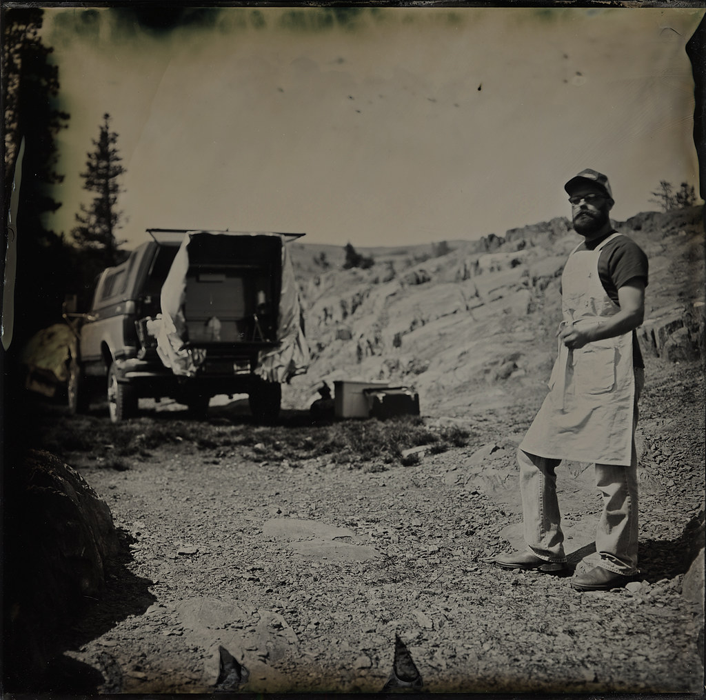
Self Portrait with Portable Darkroom
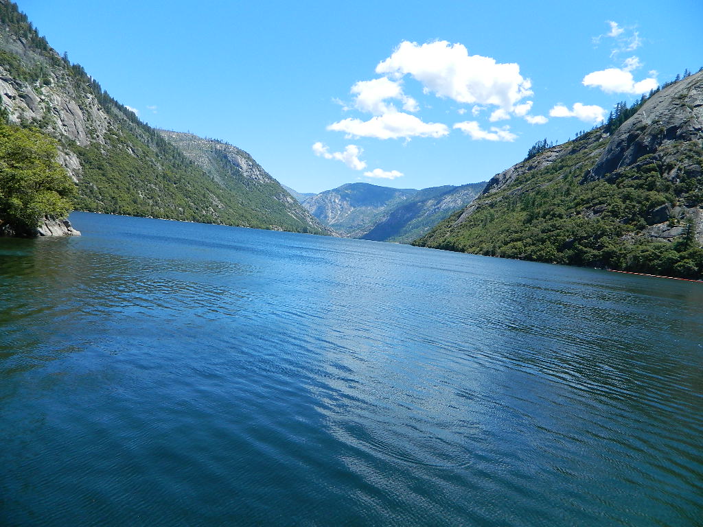
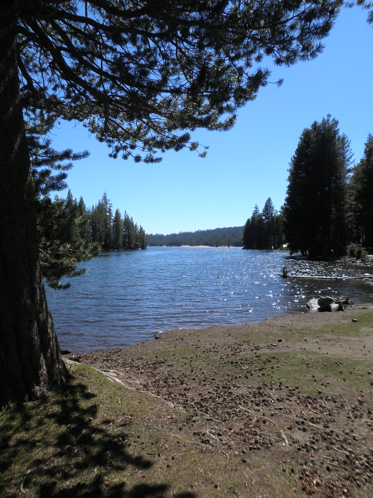
Salt Springs Reservoir
Take in the view.
The view from Ebbett's Pass
dangling participle
Clouds some where over northern California
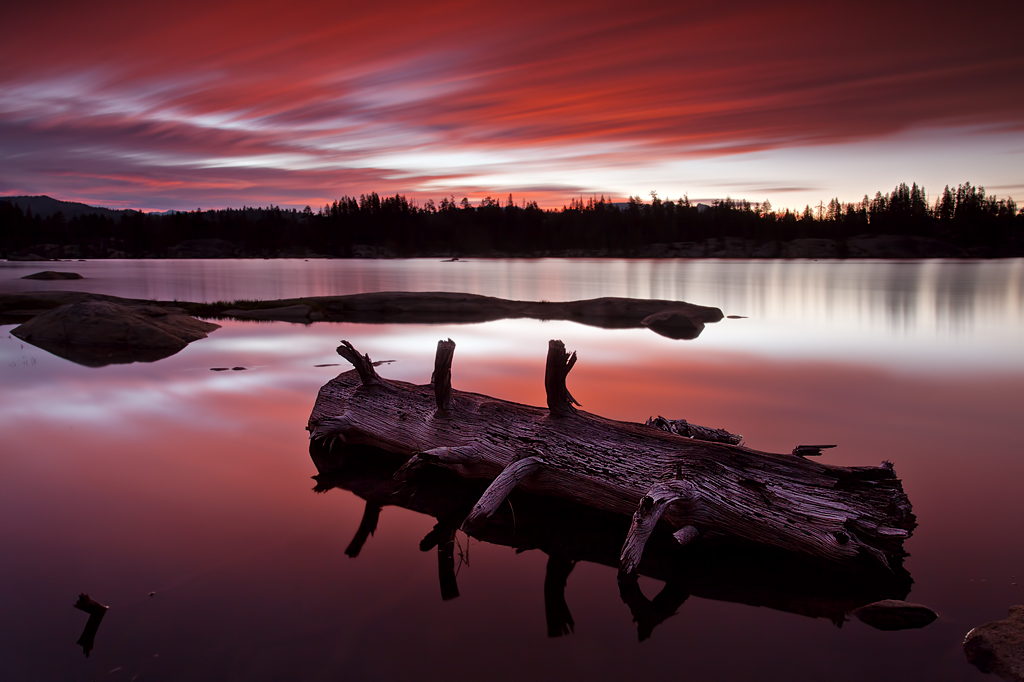
Man Vs Nature
Elephant Rock Lake View
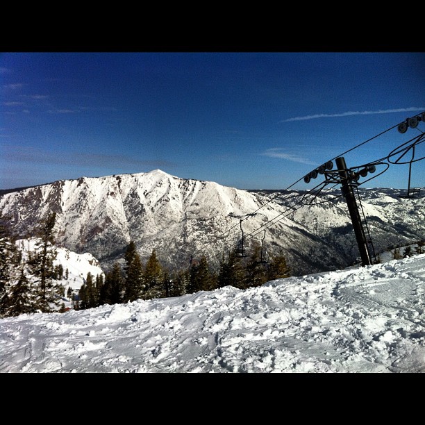
Ice View

Circular Scrapes
one of the crowd
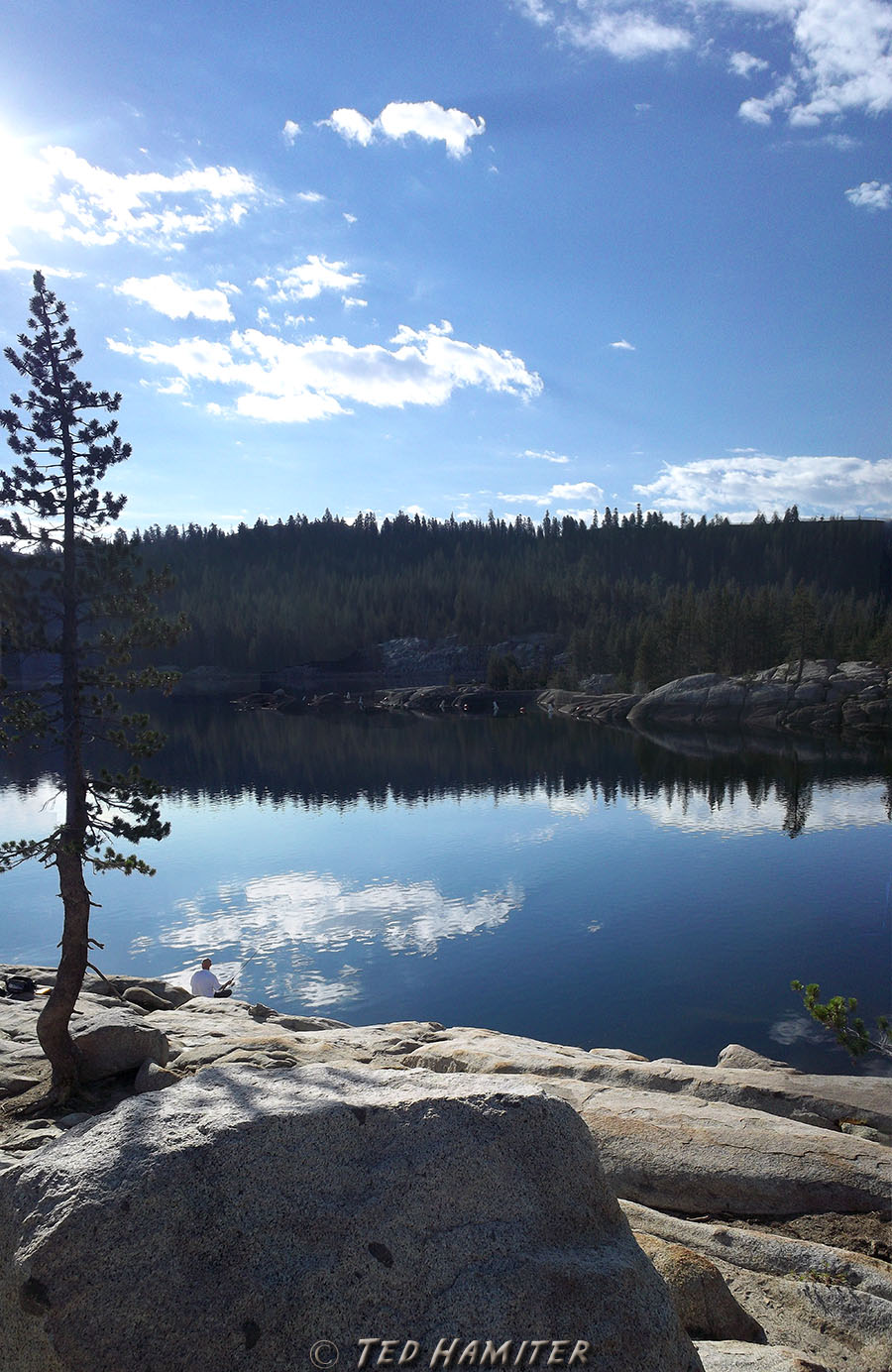
Utica Reservoir View
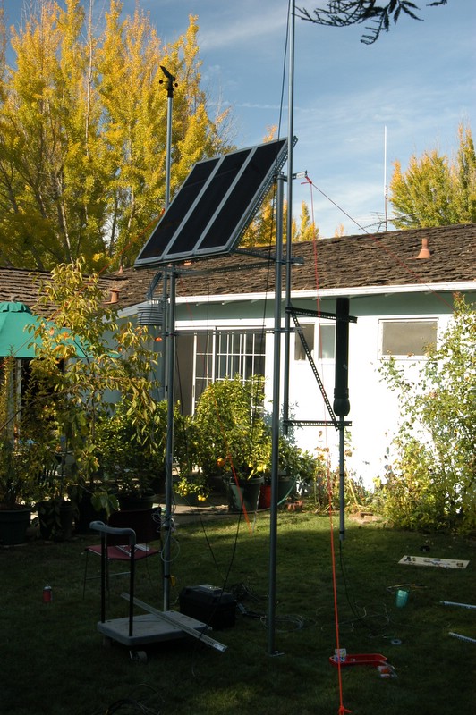
Assembly in Mountain View
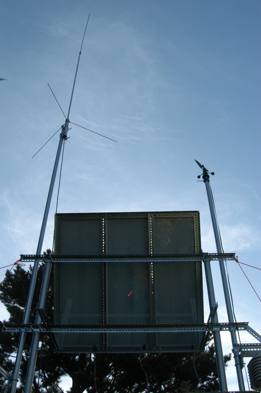
Assembly in Mountain View
Summit View Road
Mokelumne Tetons
Mokelumne South Ridge
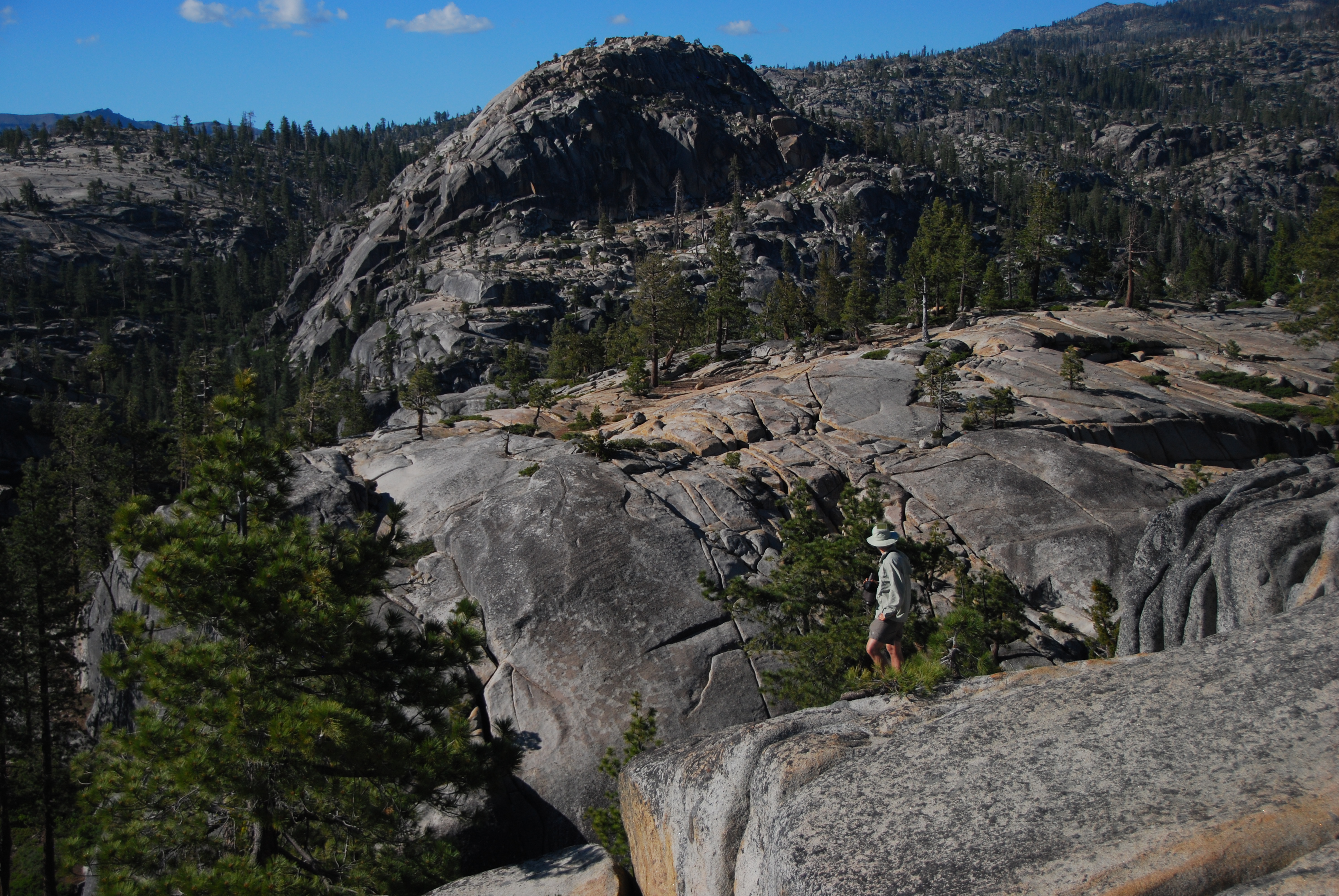
View from Rocky Point
frozen shadows
Assembly in Mountain View
Logging Time: Sierra Nevada
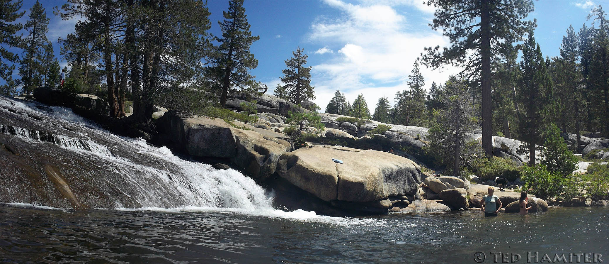
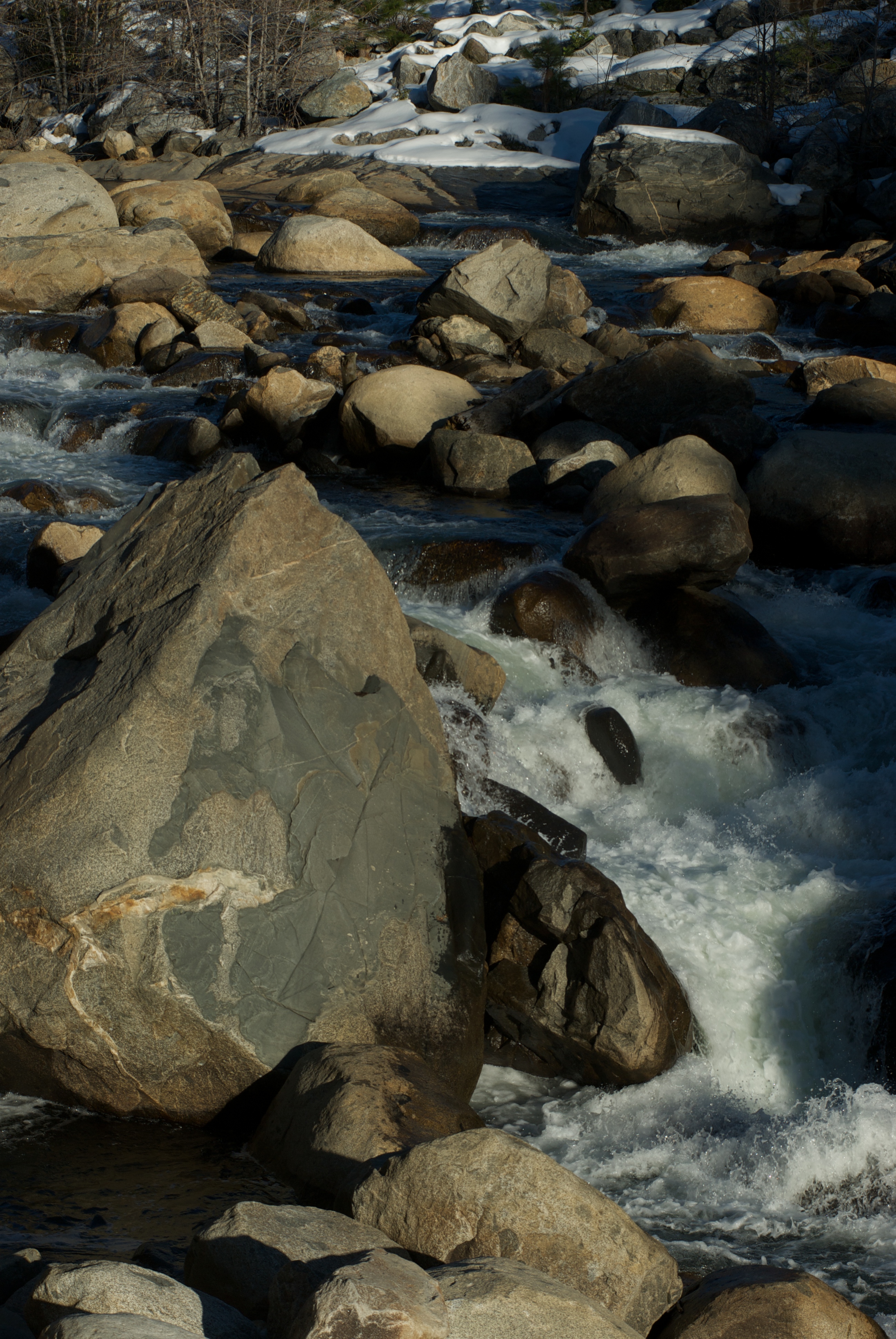
Stanislaus River water slide and swimming hole

Lake Alpine
Ebbetts Pass California
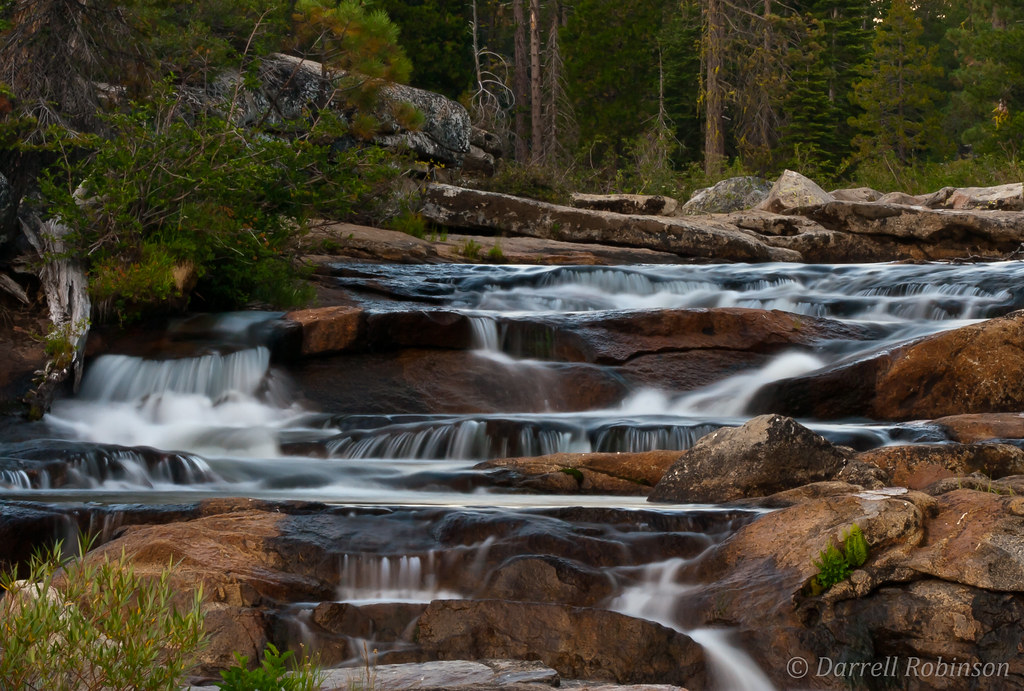
Evening at the Cascades
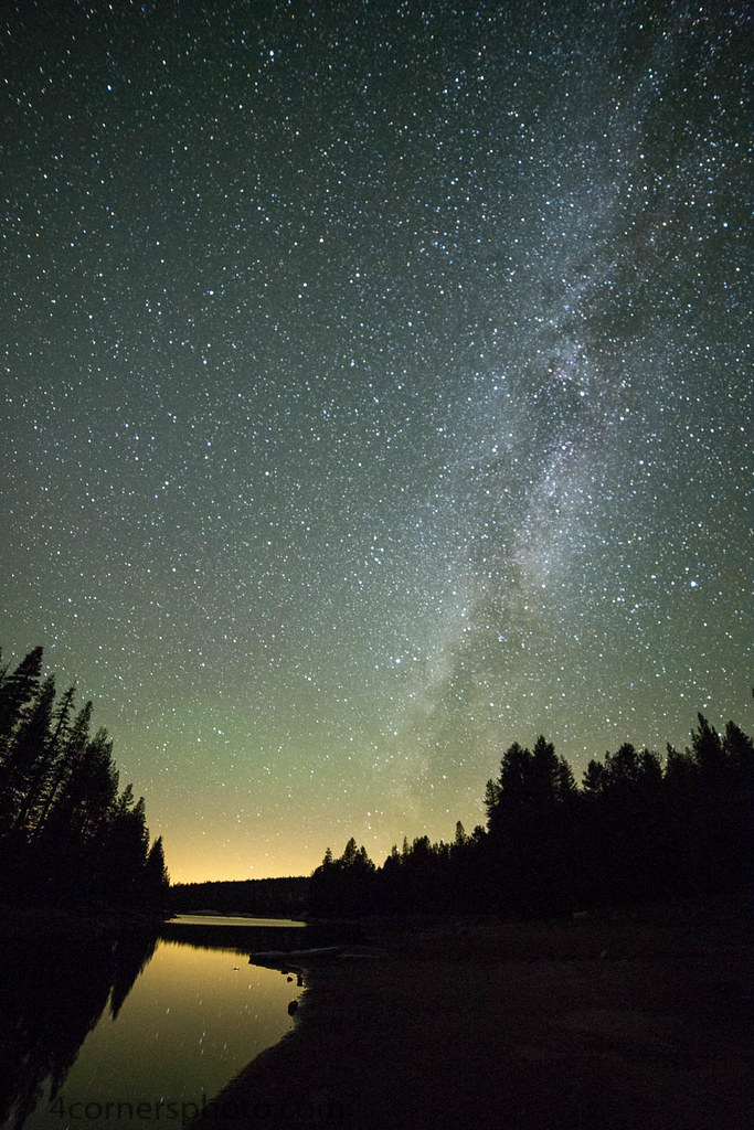
Milky Way, Alpine County, CA
2009-01-31 225 a Sierras
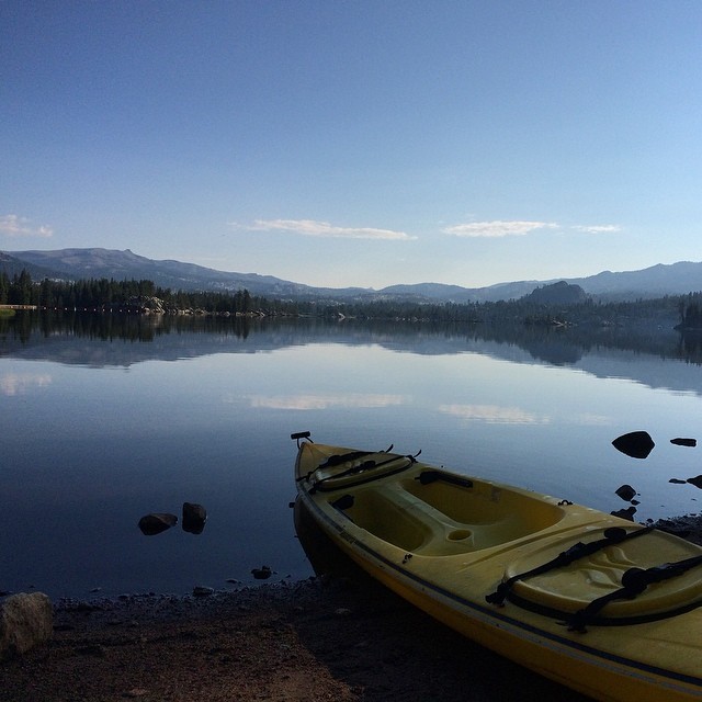
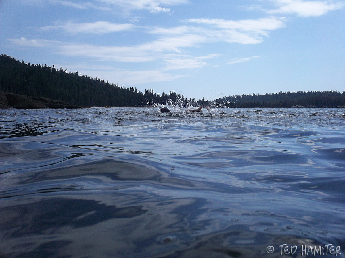
From last weekend... Fishing, kayaking, camping... With my favorite person @dreaminlow54
Great day today.
Lake Alpine in Early Summer
Last day of the season
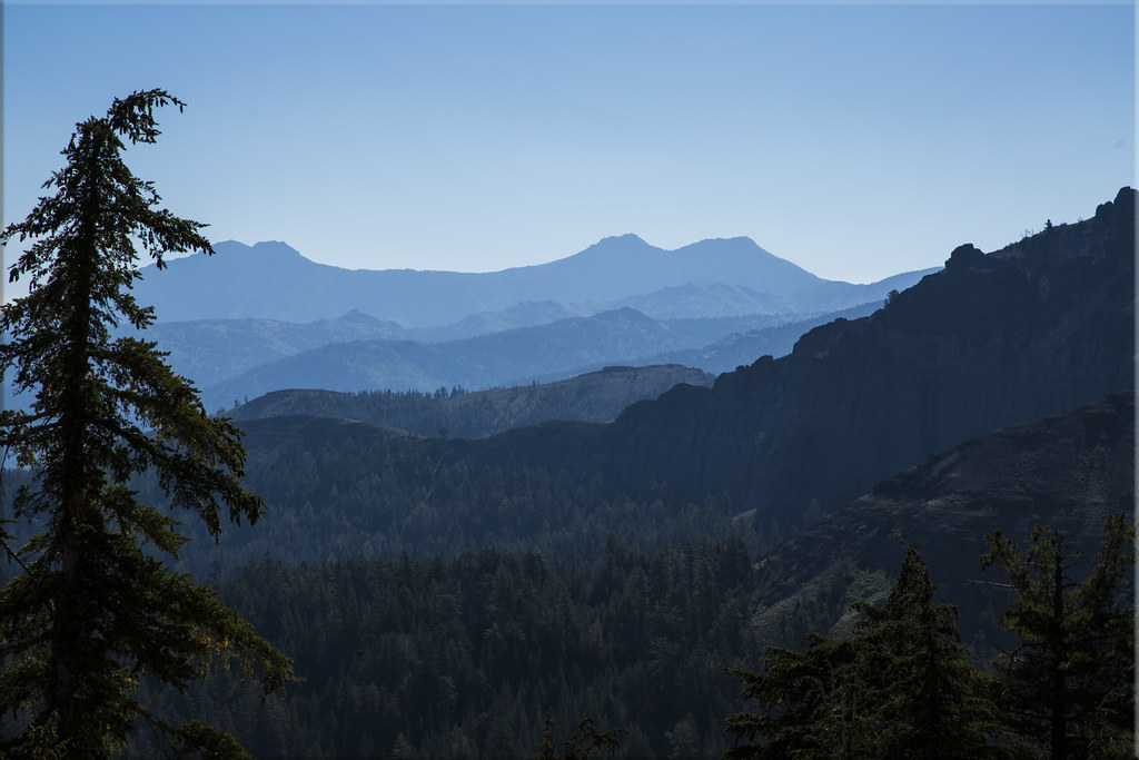
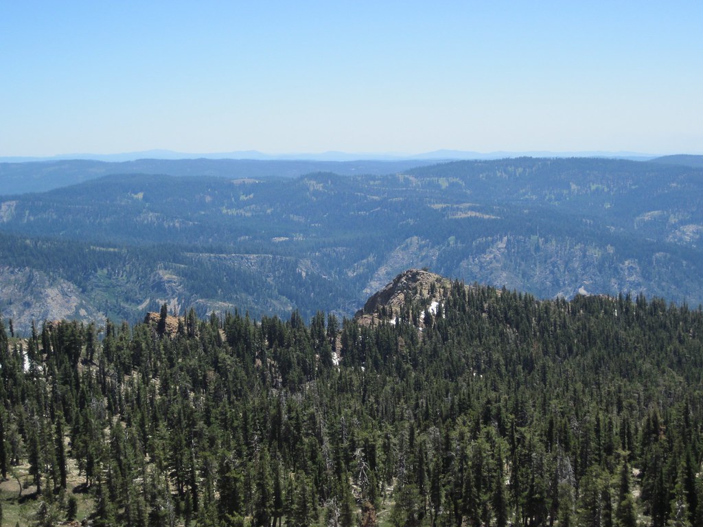
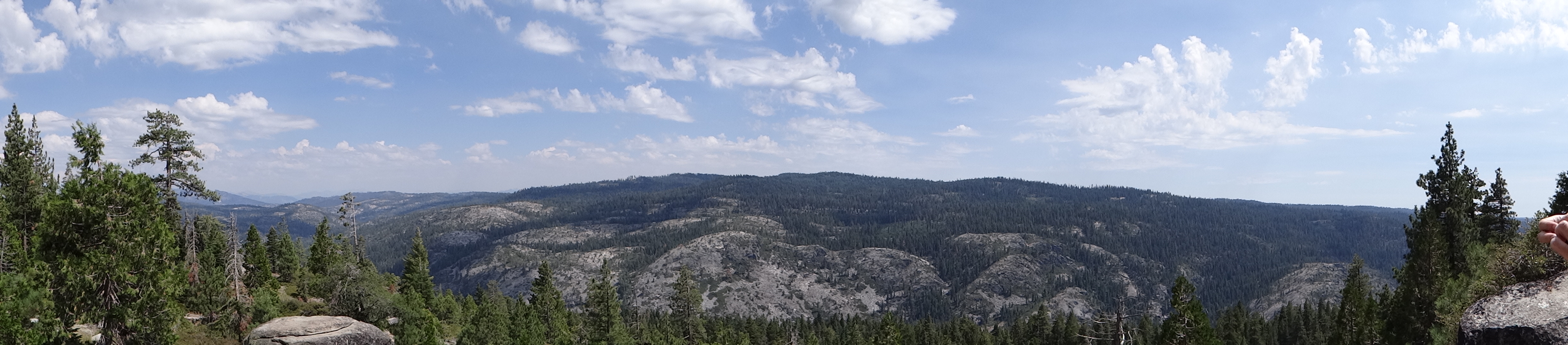
The Mountains of Alpine County
Half Dome, is that you?

BB Amazingly Amazing Ride

Blue up white down ⛷⛷. . . . . #bluesky #skiing #boston #creative #neverstopexploring #explore #photography #instagood #instaphoto #picoftheday #fff #eastcoast #adventure #discoveraround #justgoshoot #igers #igersboston #thecreatorclass #cc #theuncommonbo
2012-09-07 11.19.34
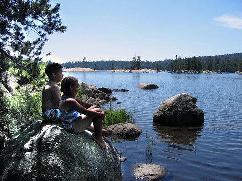
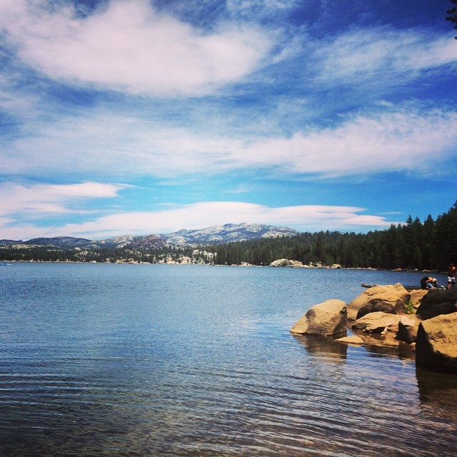
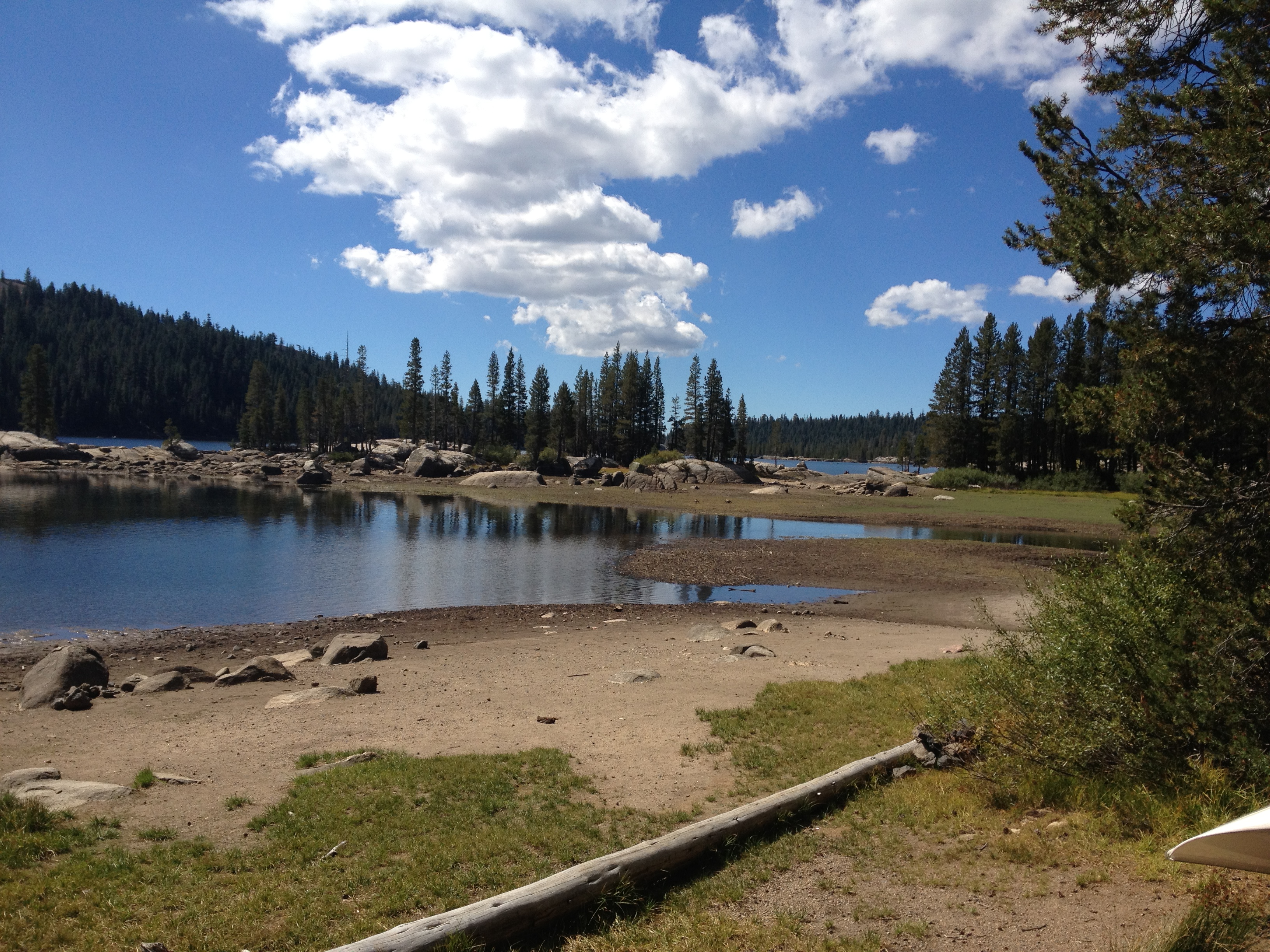
Lake Alpine | California
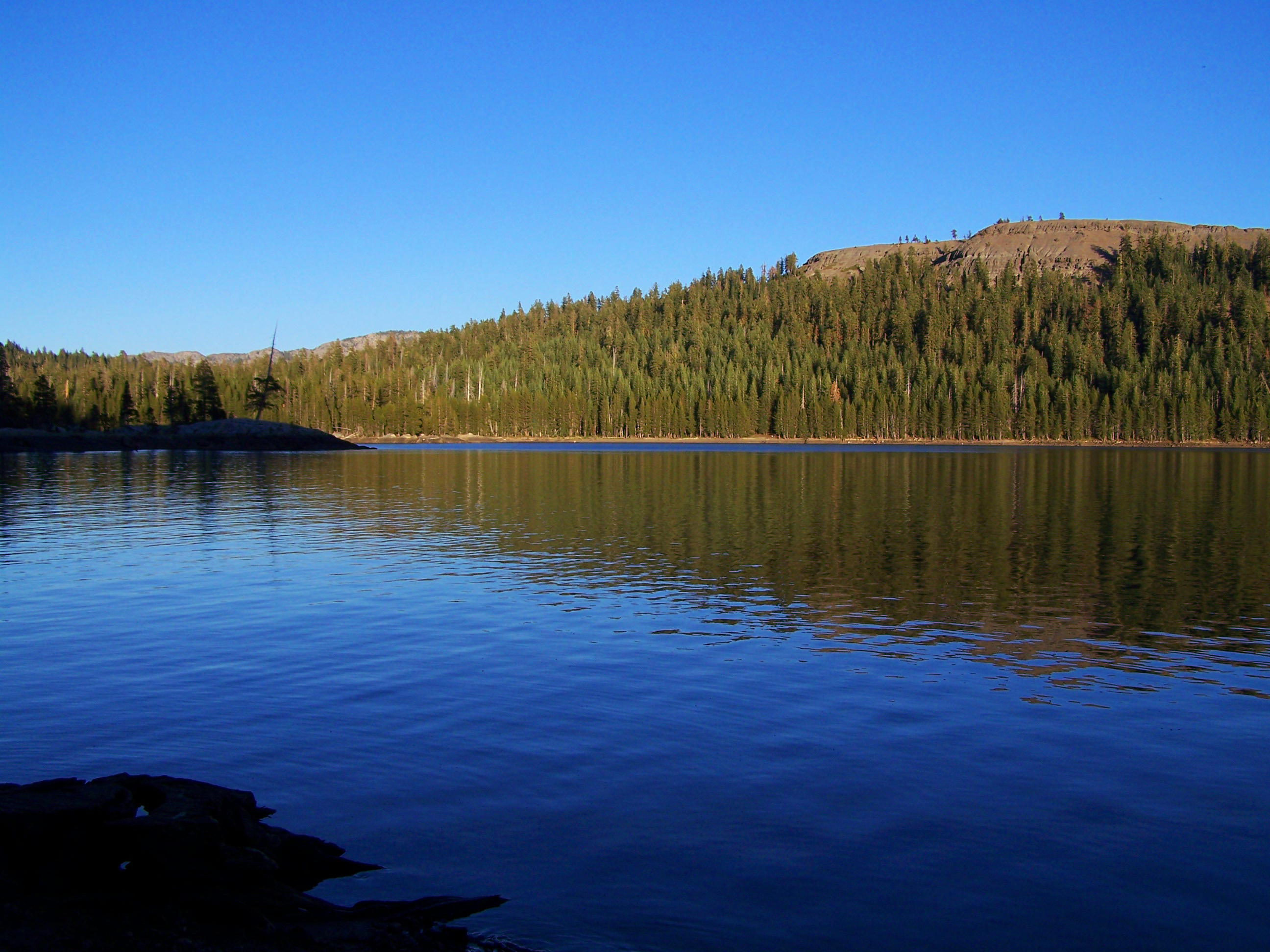
Lake Alpine
Lake Alpine Panorama
Topographic Map of CA-4, Camp Connell, CA, USA
Find elevation by address:

Places near CA-4, Camp Connell, CA, USA:
14747 Ca-4
Mountain View Rd, Arnold, CA, USA
CA-4, Camp Connell, CA, USA
Tamarack
Little Buck Road
Homestead Road
CA-4, Arnold, CA, USA
118 Creekside Dr
Bear Valley
50 Beatrice Dr, Camp Connell, CA, USA
Utica Reservoir
5231 Meko Dr
5077 Hokan Cir
Bear River Reservoir
2478 Shoshone Dr
Blackfoot Cir, Camp Connell, CA, USA
4152 Ca-4
3731 Muriettas Roost
3212 Kenshaw Way
Camp Connell
Recent Searches:
- Elevation of Dog Leg Dr, Minden, NV, USA
- Elevation of Dog Leg Dr, Minden, NV, USA
- Elevation of Kambingan Sa Pansol Atbp., Purok 7 Pansol, Candaba, Pampanga, Philippines
- Elevation of Pinewood Dr, New Bern, NC, USA
- Elevation of Mountain View, CA, USA
- Elevation of Foligno, Province of Perugia, Italy
- Elevation of Blauwestad, Netherlands
- Elevation of Bella Terra Blvd, Estero, FL, USA
- Elevation of Estates Loop, Priest River, ID, USA
- Elevation of Woodland Oak Pl, Thousand Oaks, CA, USA