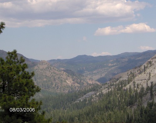
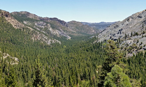
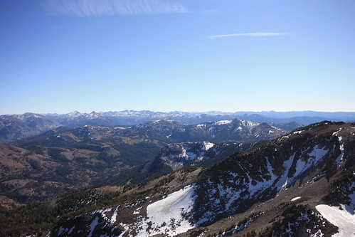
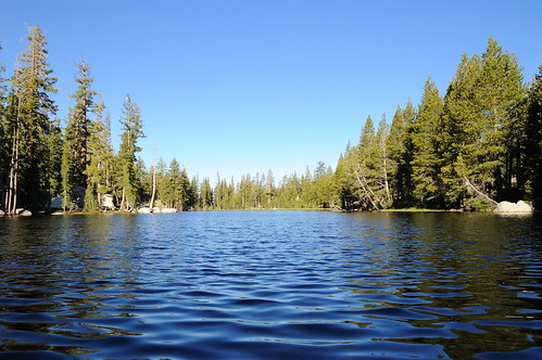
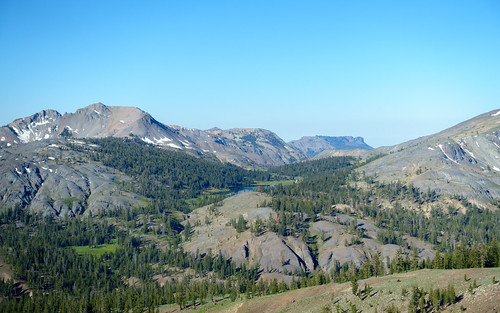
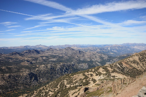
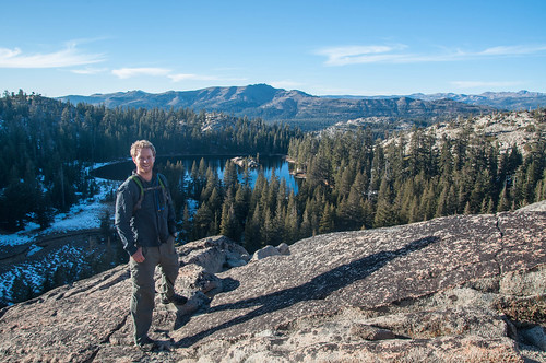
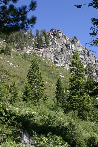
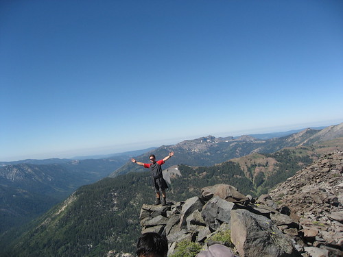
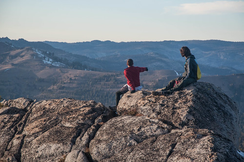
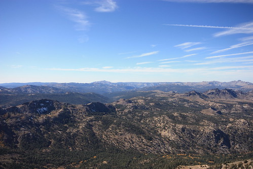
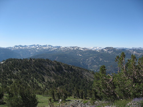
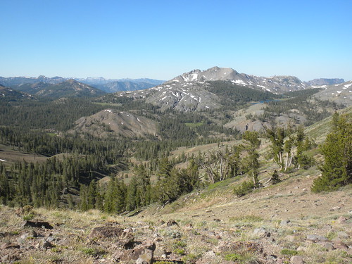
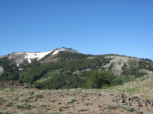
Elevation of Iceberg Peak, California, USA
Location: United States > California > Arnold >
Longitude: -119.82240
Latitude: 38.450188
Elevation: 2967m / 9734feet
Barometric Pressure: 70KPa
Related Photos:
Topographic Map of Iceberg Peak, California, USA
Find elevation by address:

Places near Iceberg Peak, California, USA:
Airola Peak
Folger Peak
Peep Sight Peak
Clark Fork Campground
Arnot Peak
Bull Run Peak
The Dardanelles North
Disaster Peak
Bald Peak
Ebbetts Pass
The Dardanelles West
Dardanelle
Highland Peak
1937 Alpine State Hwy
Reynolds Peak
Raymond Peak
Alpine County
Haypress Meadow
Eagle Meadow Road
Stanislaus Peak
Recent Searches:
- Elevation of Corso Fratelli Cairoli, 35, Macerata MC, Italy
- Elevation of Tallevast Rd, Sarasota, FL, USA
- Elevation of 4th St E, Sonoma, CA, USA
- Elevation of Black Hollow Rd, Pennsdale, PA, USA
- Elevation of Oakland Ave, Williamsport, PA, USA
- Elevation of Pedrógão Grande, Portugal
- Elevation of Klee Dr, Martinsburg, WV, USA
- Elevation of Via Roma, Pieranica CR, Italy
- Elevation of Tavkvetili Mountain, Georgia
- Elevation of Hartfords Bluff Cir, Mt Pleasant, SC, USA
