Elevation of Thayer County, NE, USA
Location: United States > Nebraska >
Longitude: -97.524724
Latitude: 40.1460895
Elevation: 441m / 1447feet
Barometric Pressure: 96KPa
Elevation Map:
Satellite Map:
Related Photos:
Keith Building (Side view) - Hebron, NE

Coral-winged Grasshopper

Post Office (rear view) - Alexandria, NE

Oregon Trail Marker Vicinity
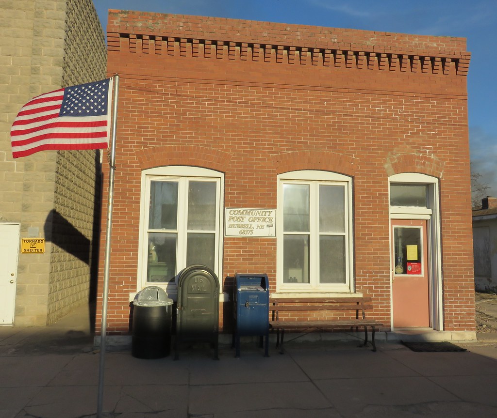
Post Office 68375 (Hubbell, Nebraska)
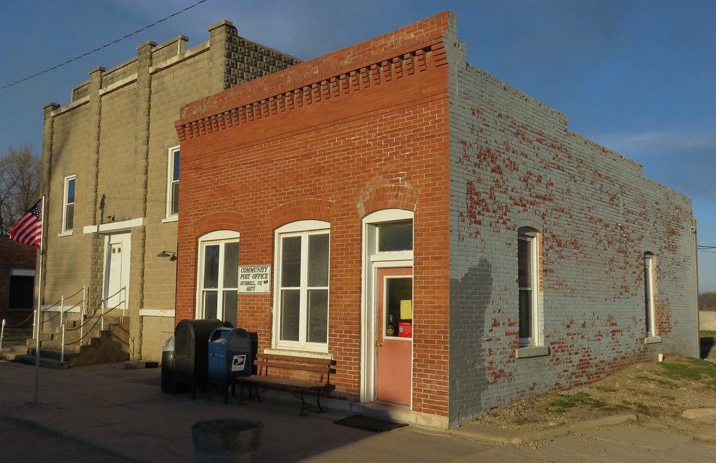
Post Office 68375 and Opera House (Hubbell, Nebraska)
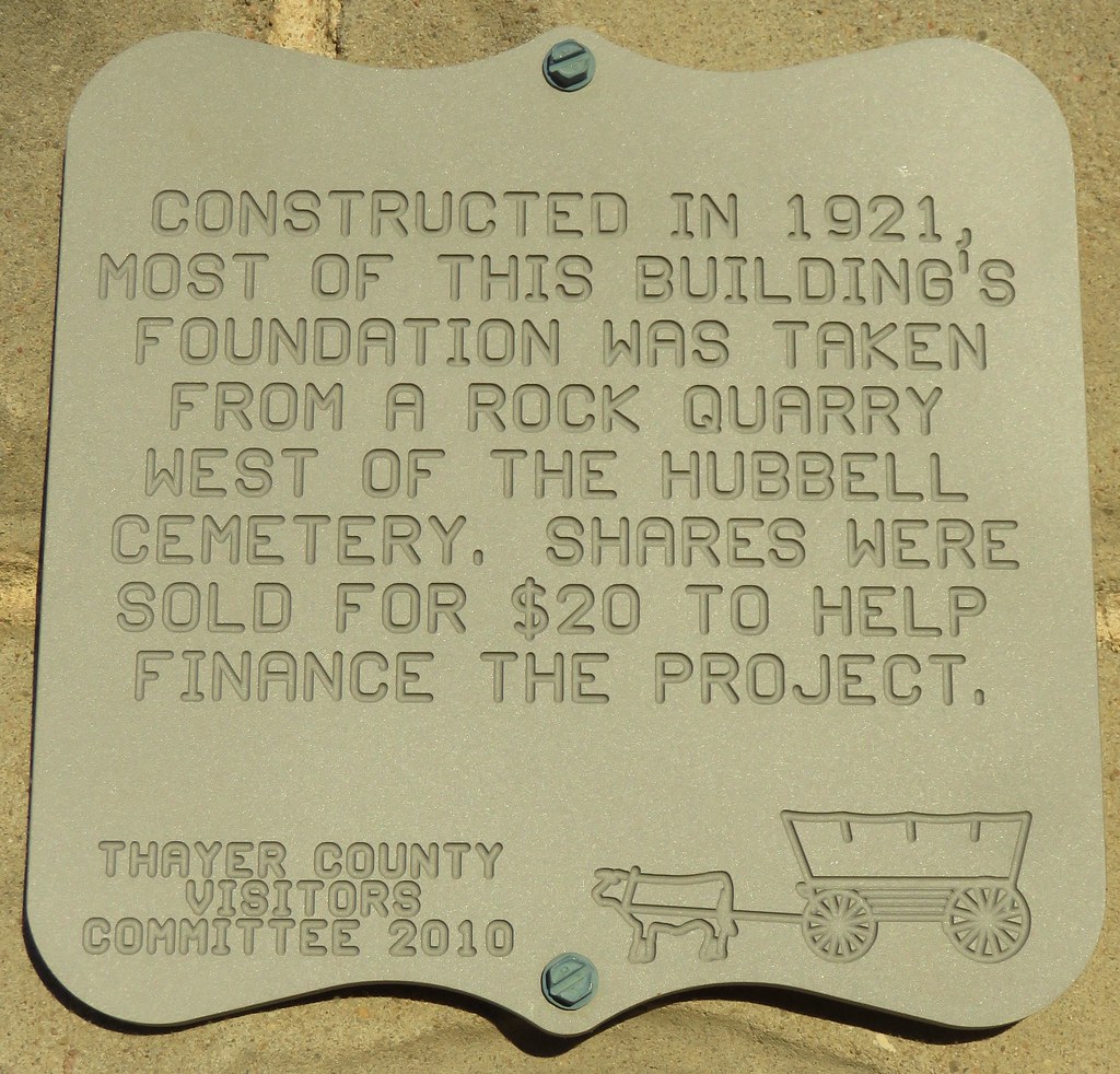
Opera House Plaque (Hubbell, Nebraska)
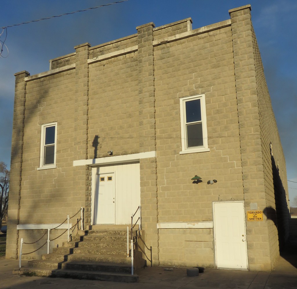
Opera House (Hubbell, Nebraska)
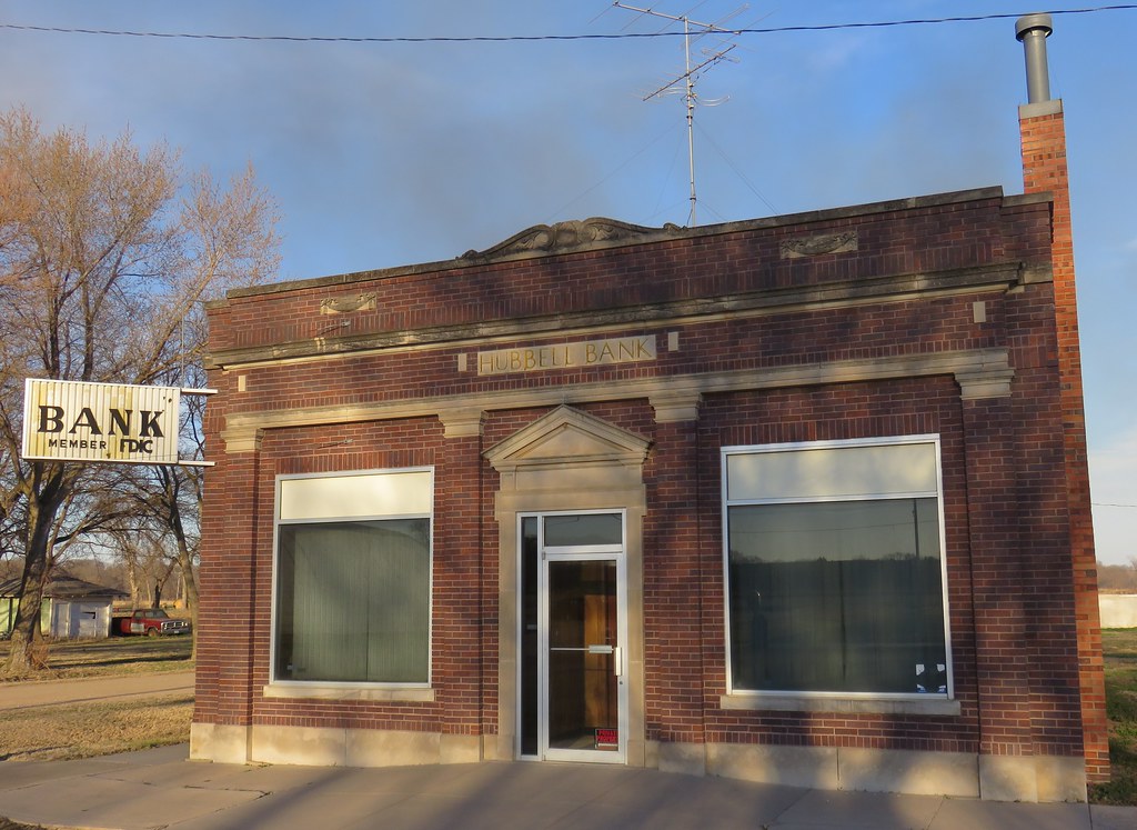
Hubbell Bank (Hubbell, Nebraska)
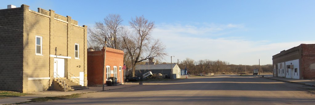
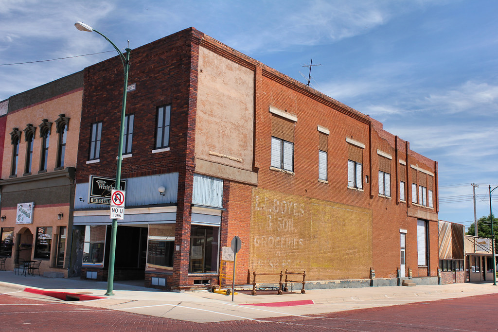
Downtown Hubbell, Nebraska

Hooded Grouse Locust
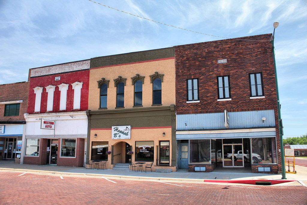
C.C. Fletcher - J.E. Thomas - Keith Buildings - Hebron, NE
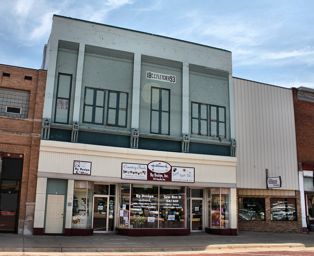
C.C. Fletcher Building - Hebron, NE

Downtown Building - Hebron, NE
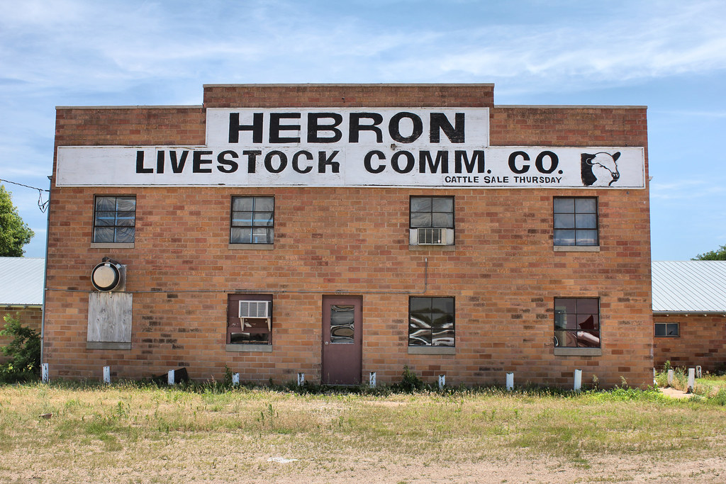
Hebron Livestock Commission Co. - Hebron, NE
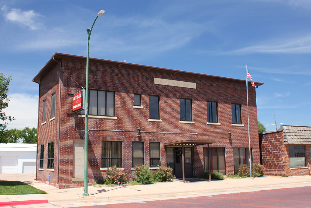
Municipal Building - Hebron, NE
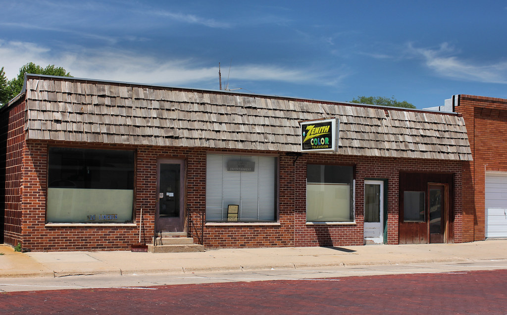
Denny's Home Entertainment - Hebron, NE
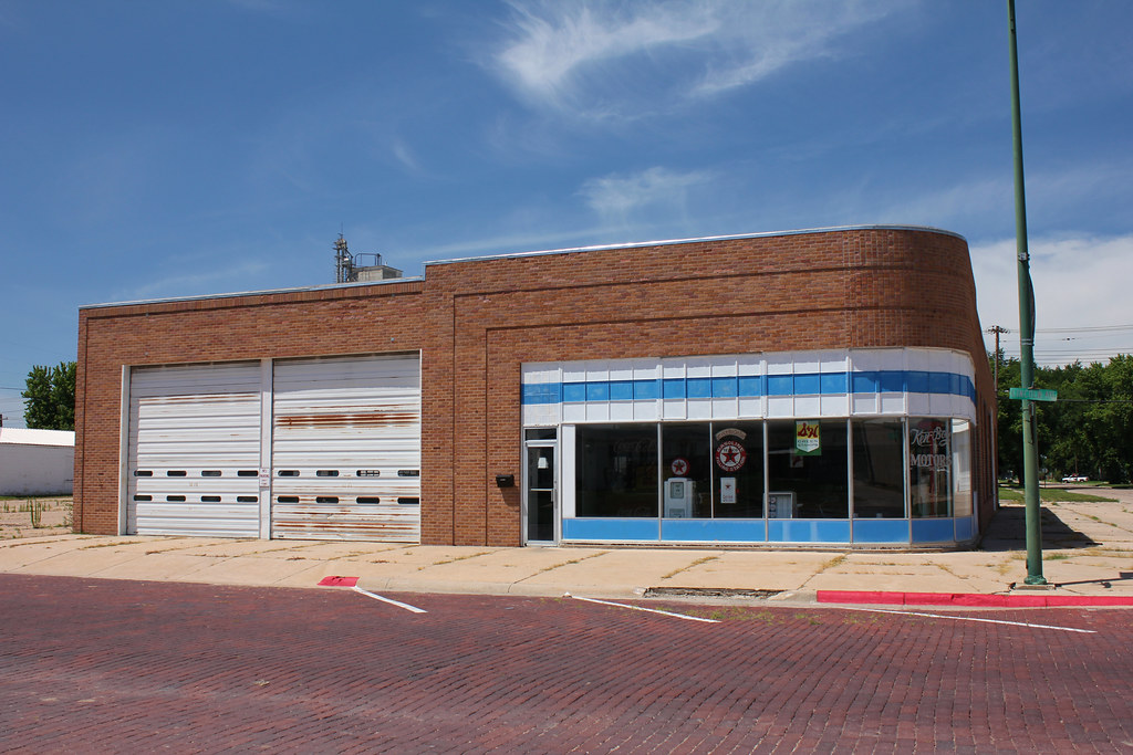
Ken-Boy Motors Building - Hebron, NE
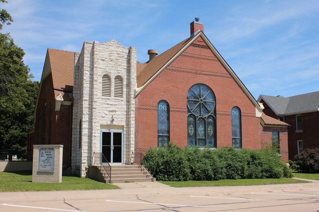
First Presbyterian Church - Hebron, NE
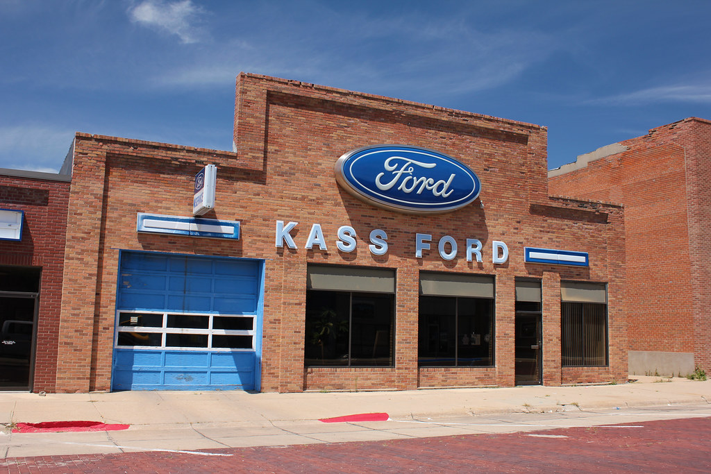
Kass Ford - Hebron, NE
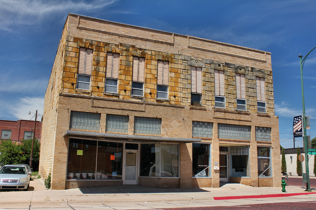
Hendershot Building - Hebron, NE
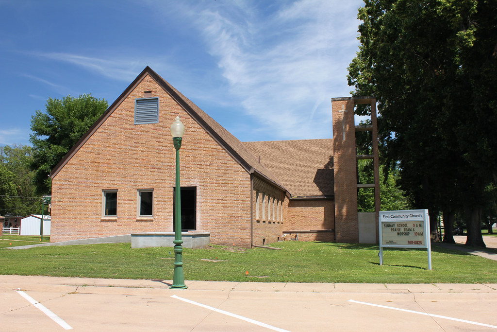
First Community Church - Hebron, NE

Thayer County Courthouse - Hebron, NE
Topographic Map of Thayer County, NE, USA
Find elevation by address:

Places in Thayer County, NE, USA:
Places near Thayer County, NE, USA:
Gilead
N Main St, Gilead, NE, USA
Alexandria
North St, Alexandria, NE, USA
Deshler
2nd St, Deshler, NE, USA
Albion
Kansas Ave, Narka, KS, USA
Narka
Buckley
70340 560th Ave
Deshler
Fillmore County
E St, Fairbury, NE, USA
Fairbury
Jefferson County
24th St & H St
Cuba
Bedford St, Cuba, KS, USA
Haddam
Recent Searches:
- Elevation of Corso Fratelli Cairoli, 35, Macerata MC, Italy
- Elevation of Tallevast Rd, Sarasota, FL, USA
- Elevation of 4th St E, Sonoma, CA, USA
- Elevation of Black Hollow Rd, Pennsdale, PA, USA
- Elevation of Oakland Ave, Williamsport, PA, USA
- Elevation of Pedrógão Grande, Portugal
- Elevation of Klee Dr, Martinsburg, WV, USA
- Elevation of Via Roma, Pieranica CR, Italy
- Elevation of Tavkvetili Mountain, Georgia
- Elevation of Hartfords Bluff Cir, Mt Pleasant, SC, USA