Elevation of th Ave, Fairbury, NE, USA
Location: United States > Nebraska > Jefferson County > Buckley >
Longitude: -97.331159
Latitude: 40.0174923
Elevation: 478m / 1568feet
Barometric Pressure: 96KPa
Elevation Map:
Satellite Map:
Related Photos:
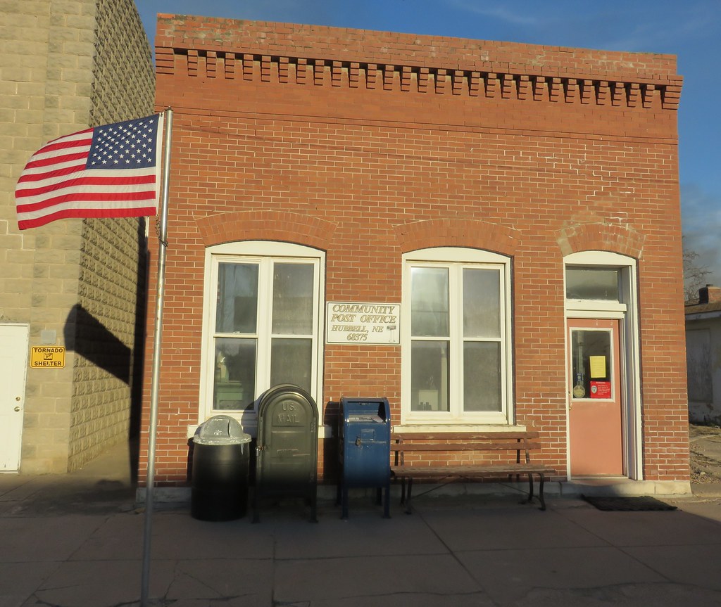
Post Office 68375 (Hubbell, Nebraska)
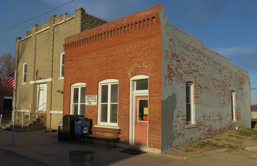
Post Office 68375 and Opera House (Hubbell, Nebraska)
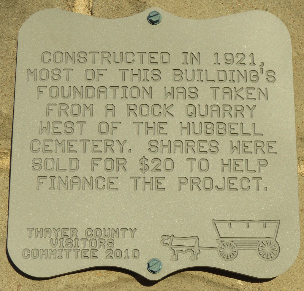
Opera House Plaque (Hubbell, Nebraska)
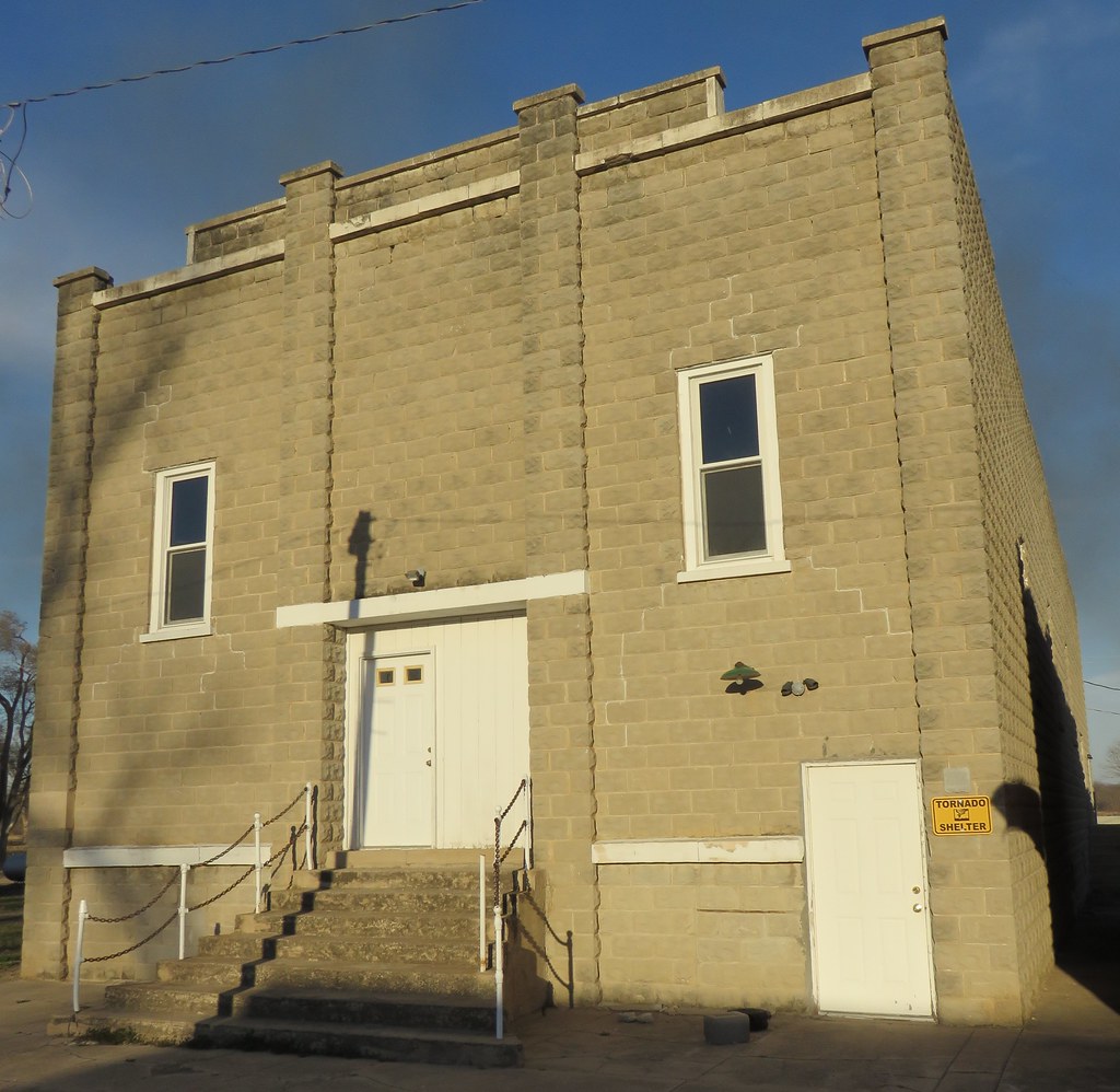
Opera House (Hubbell, Nebraska)
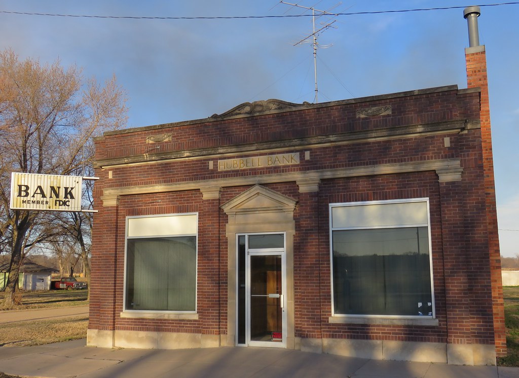
Hubbell Bank (Hubbell, Nebraska)
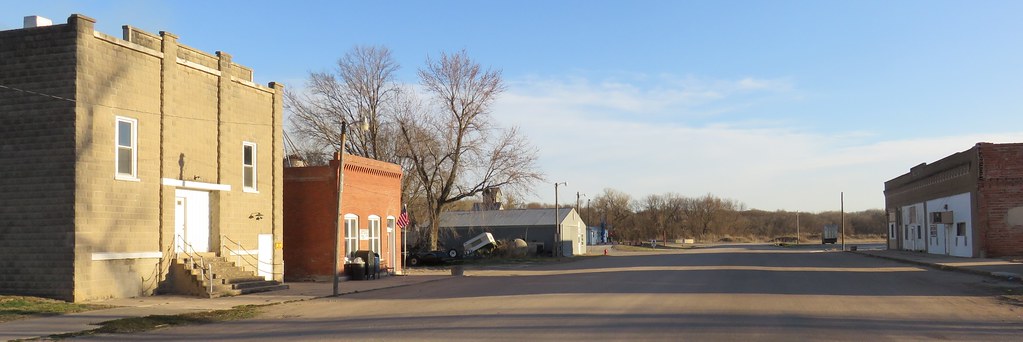
Downtown Hubbell, Nebraska
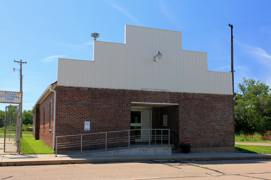
City Auditorium - Gilead, NE
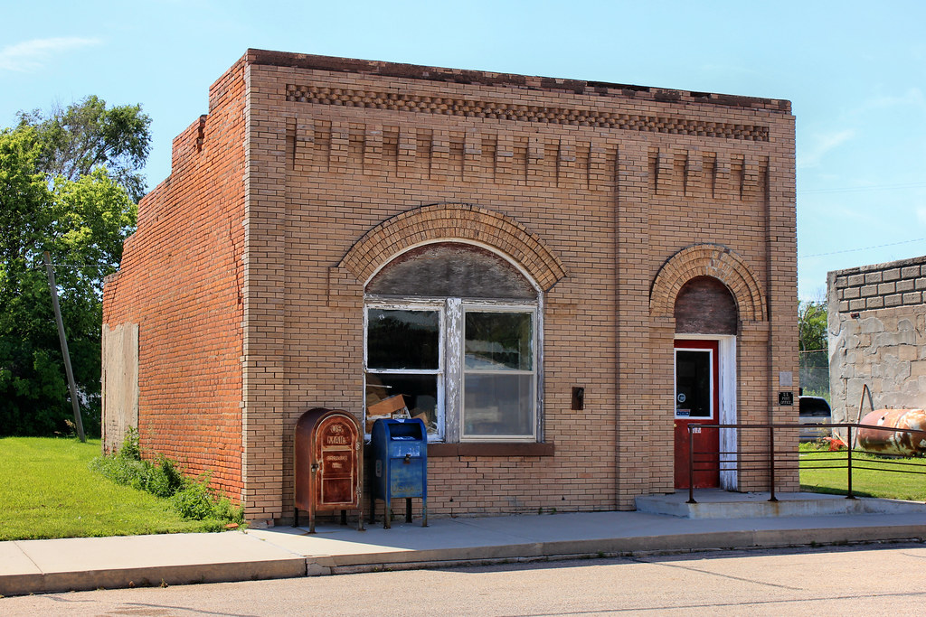
Post Office (Former) - Gilead, NE
Reno Brothers Building - Gilead, NE

St. Paul's Lutheran Church - Gilead, NE
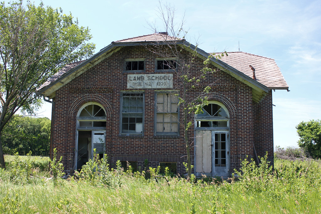
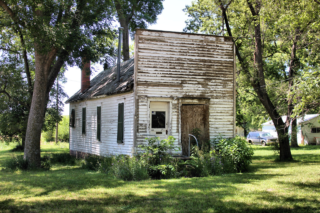
Lamb School - rural Hubbell, NE
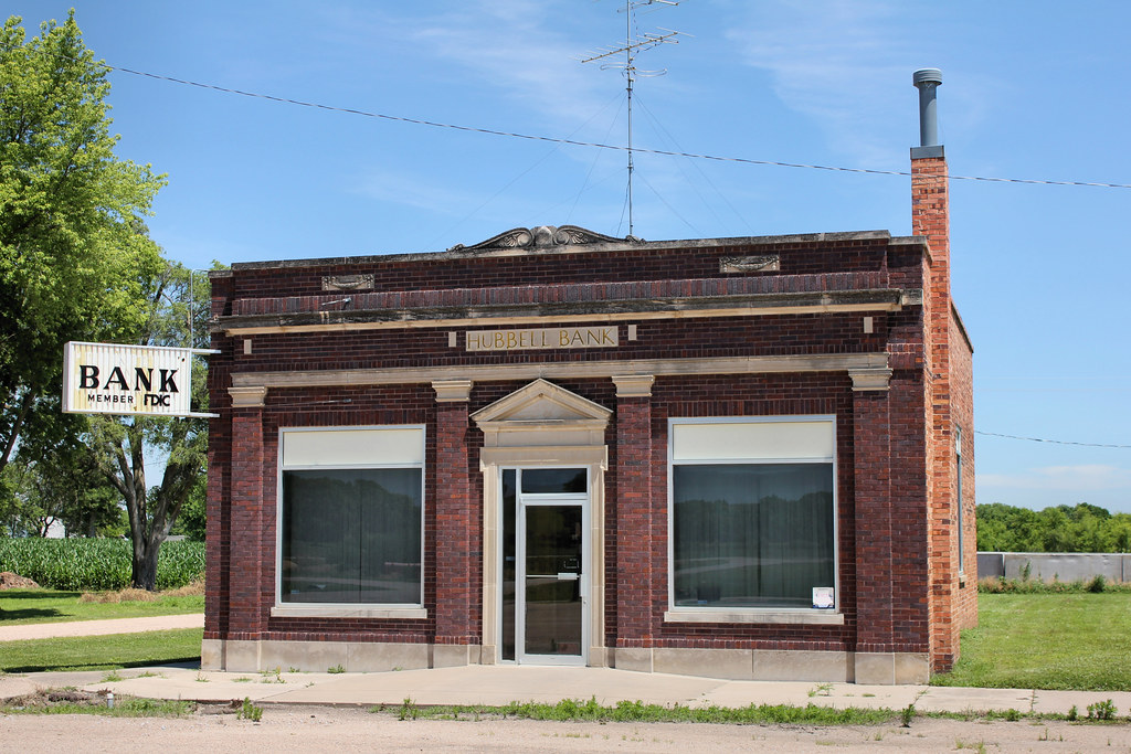
Hubbell Bank Building - Hubbell, NE
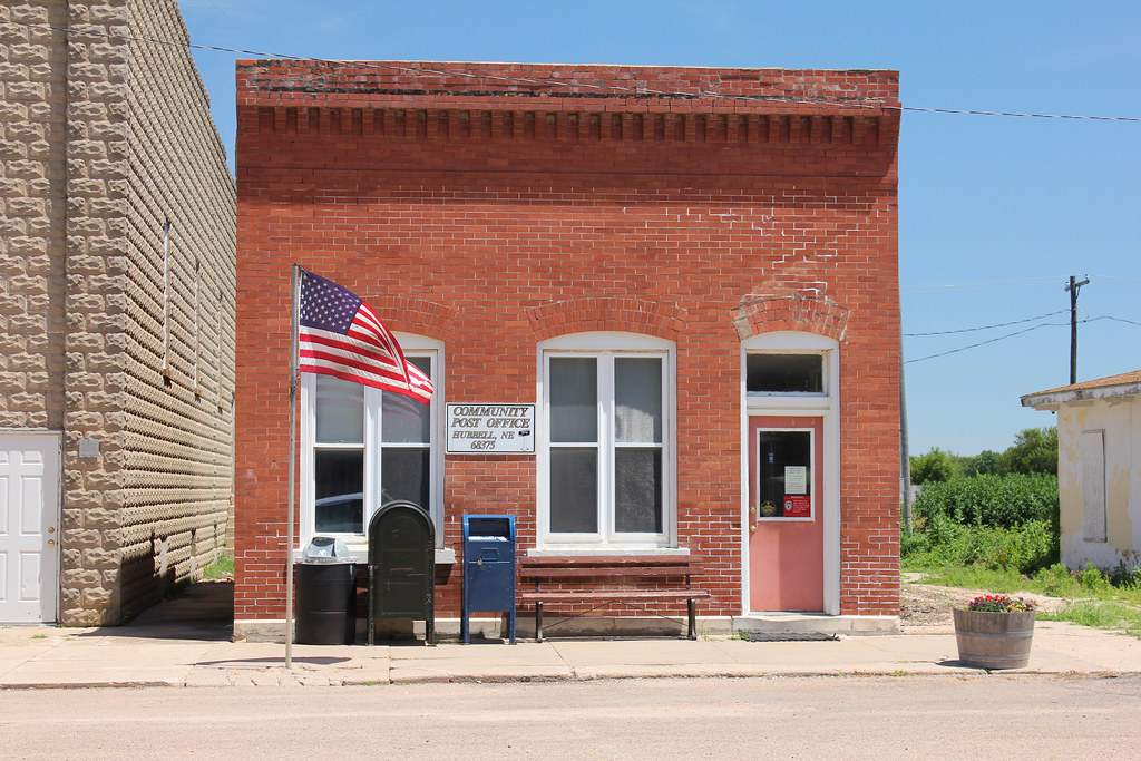
Post Office - Hubbell, NE
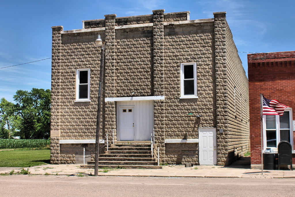
Opera House (Community Hall) - Hubbell, NE
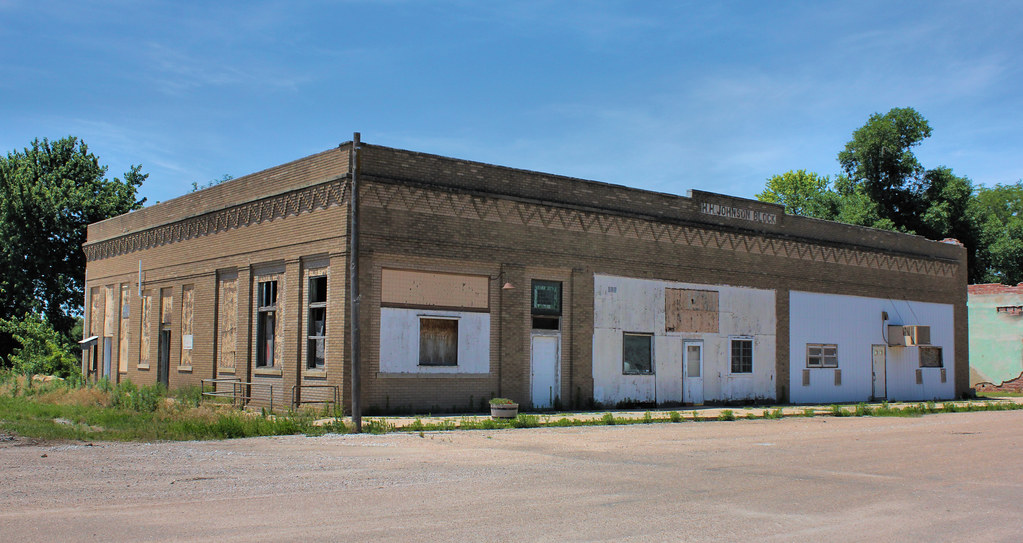
H.H. Johnson Block - Hubbell, NE
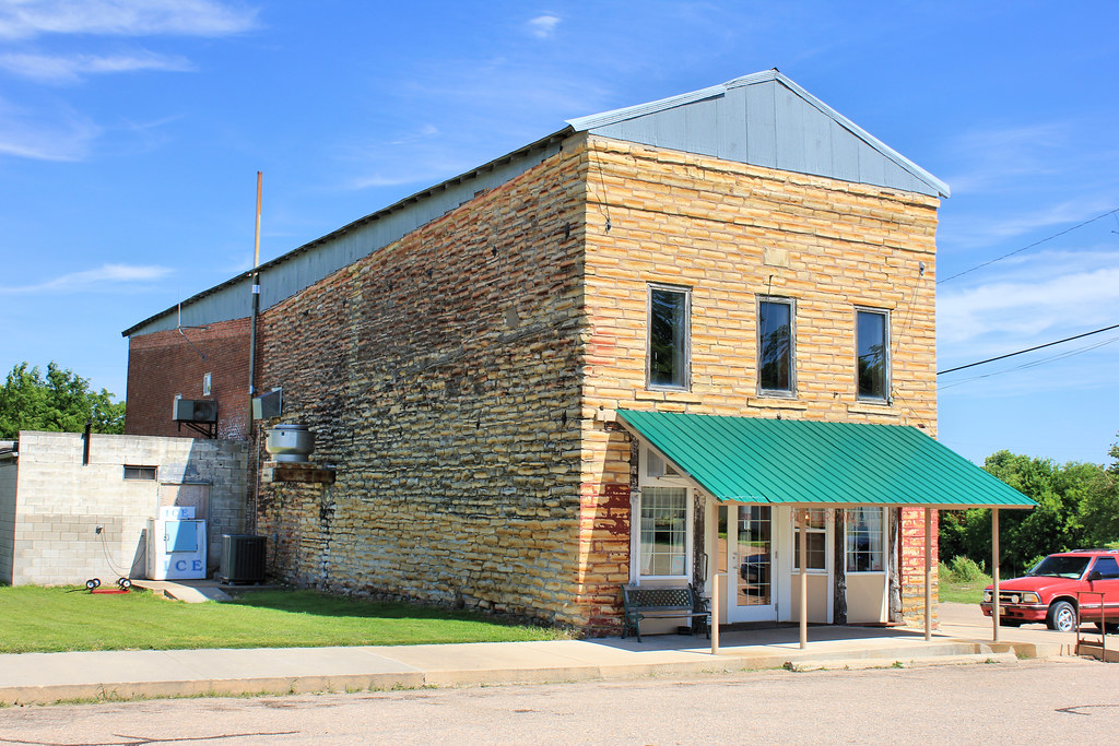
Downtown Building - Hubbell, NE

Pay Phone - Hubbell, NE
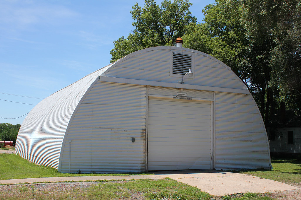
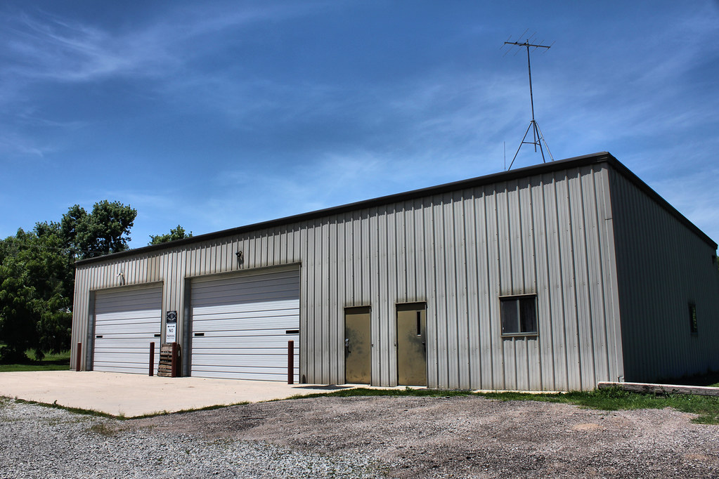
City Maintenance Shop - Hubbell, NE
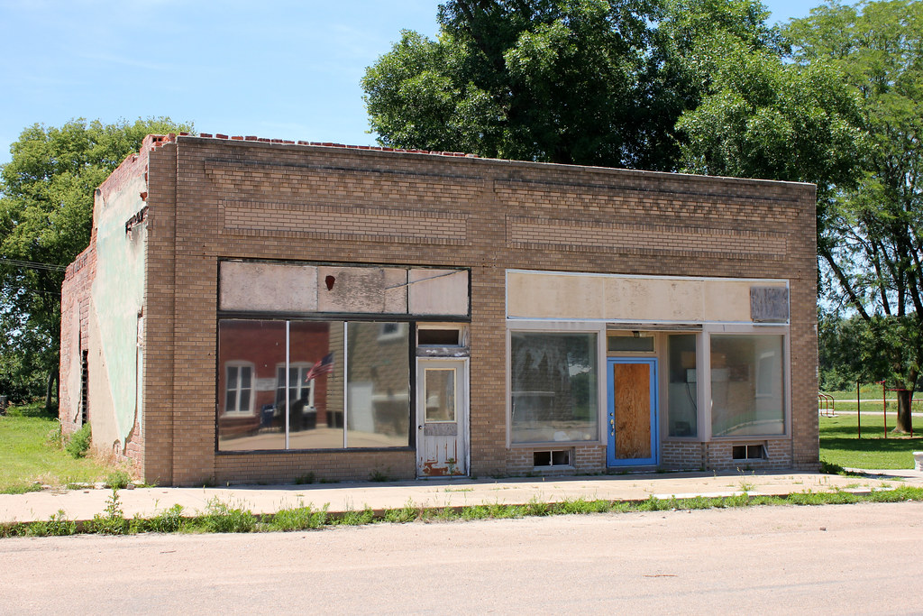
Storefront - Hubbell, NE
Fire Station - Hubbell, NE

United Methodist Church - Hubbell, NE
Topographic Map of th Ave, Fairbury, NE, USA
Find elevation by address:

Places near th Ave, Fairbury, NE, USA:
Buckley
Albion
Narka
Kansas Ave, Narka, KS, USA
Gilead
N Main St, Gilead, NE, USA
Haddam
Main St, Haddam, KS, USA
Haddam
E St, Fairbury, NE, USA
Fairbury
24th St & H St
Jefferson County
Alexandria
Thayer County
Washington County
North St, Alexandria, NE, USA
Cuba
Bedford St, Cuba, KS, USA
Endicott
Recent Searches:
- Elevation of Corso Fratelli Cairoli, 35, Macerata MC, Italy
- Elevation of Tallevast Rd, Sarasota, FL, USA
- Elevation of 4th St E, Sonoma, CA, USA
- Elevation of Black Hollow Rd, Pennsdale, PA, USA
- Elevation of Oakland Ave, Williamsport, PA, USA
- Elevation of Pedrógão Grande, Portugal
- Elevation of Klee Dr, Martinsburg, WV, USA
- Elevation of Via Roma, Pieranica CR, Italy
- Elevation of Tavkvetili Mountain, Georgia
- Elevation of Hartfords Bluff Cir, Mt Pleasant, SC, USA