Elevation of E St, Fairbury, NE, USA
Location: United States > Nebraska > Jefferson County > Fairbury >
Longitude: -97.180285
Latitude: 40.1368044
Elevation: 404m / 1325feet
Barometric Pressure: 97KPa
Elevation Map:
Satellite Map:
Related Photos:
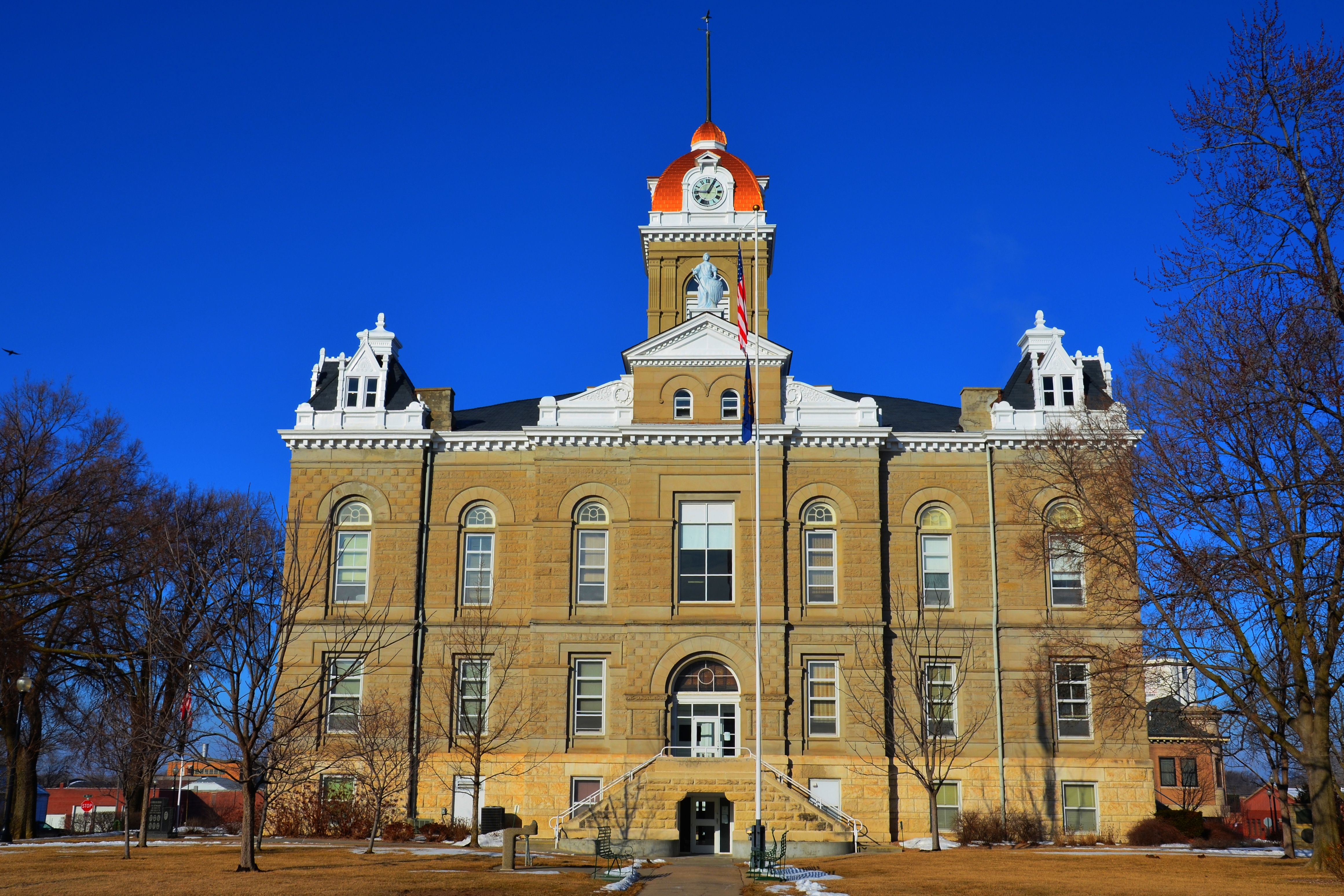
Jefferson County (Fairbury, NE) Courthouse
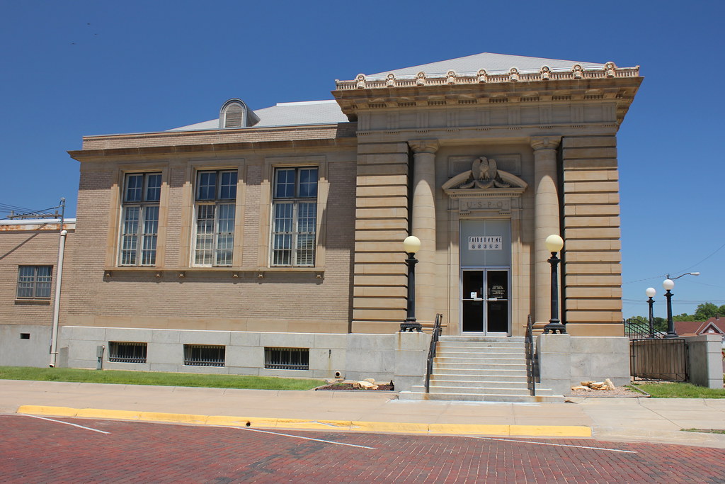
Post Office (side view) - Fairbury, NE
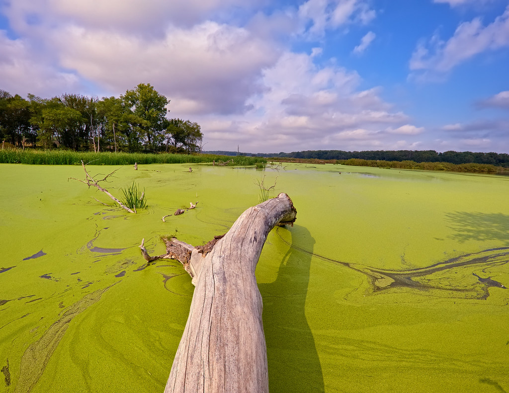
Greenerrific!
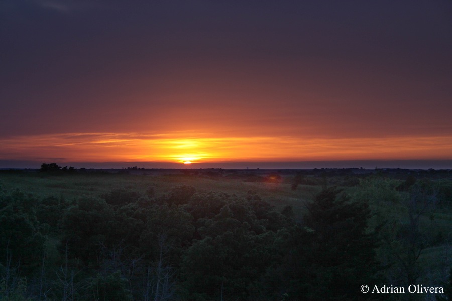
Rock Glen Sunset

Carnegie Library (Fairbury, Nebraska)
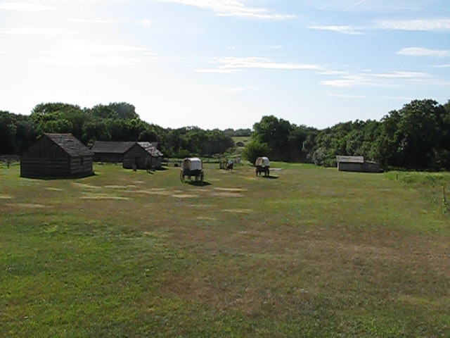
Rock Creek Station

Pelican migration

Great Blue Heron

St. Michael's Catholic School - Fairbury, NE

Village of Jansen Nebraska U.S. Highway 136

Getting your pelicans and cormorants in a row.

Pelican and Cormorant party

Pelican migration
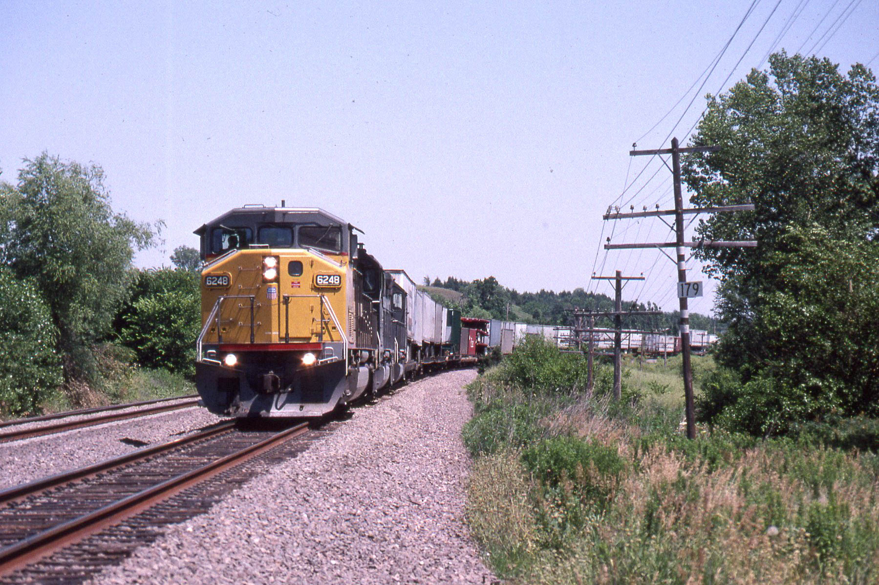
Union Pacific SD60M #6248 at Endicott NE on the Marysville line on 7-13-95
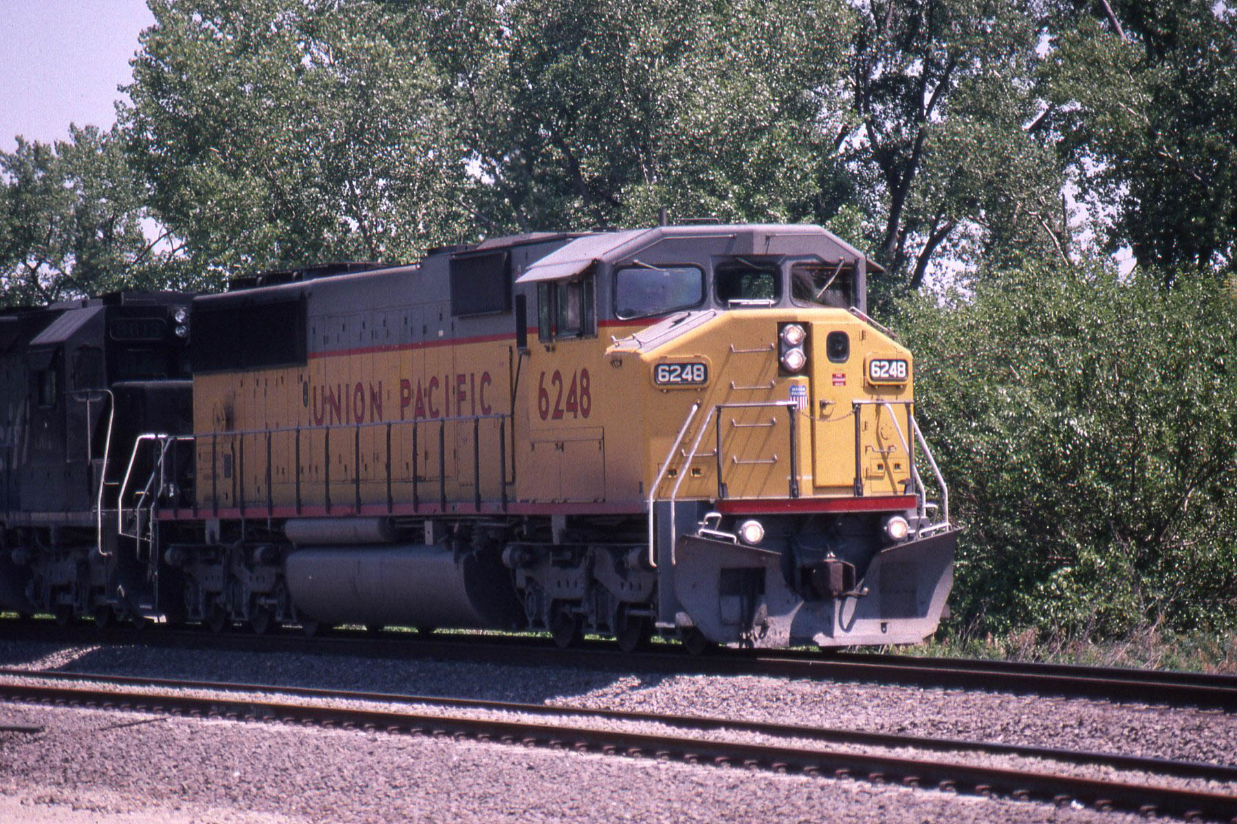
Union Pacific SD60M #6248 at Endicott NE on the Marysville line on 7-13-95

UP Manifest In Fairbury
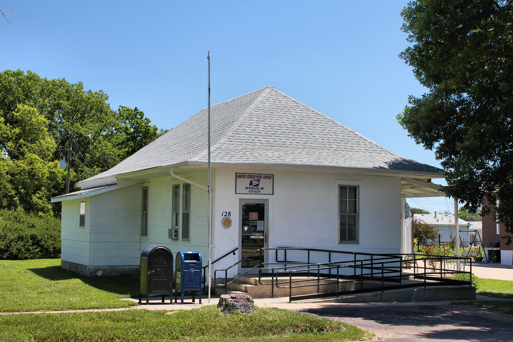
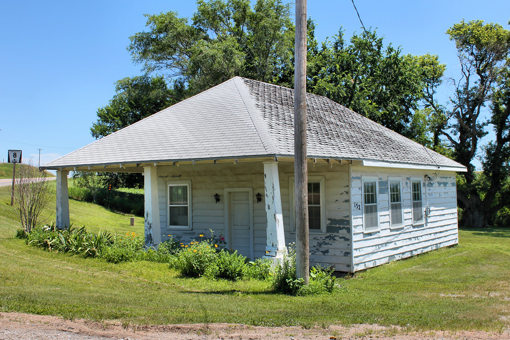
Post Office - Reynolds, NE
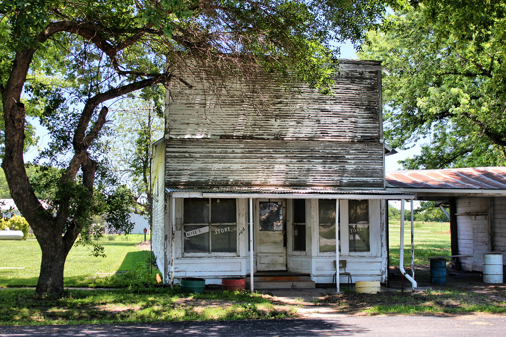
General Store - Reynolds, NE
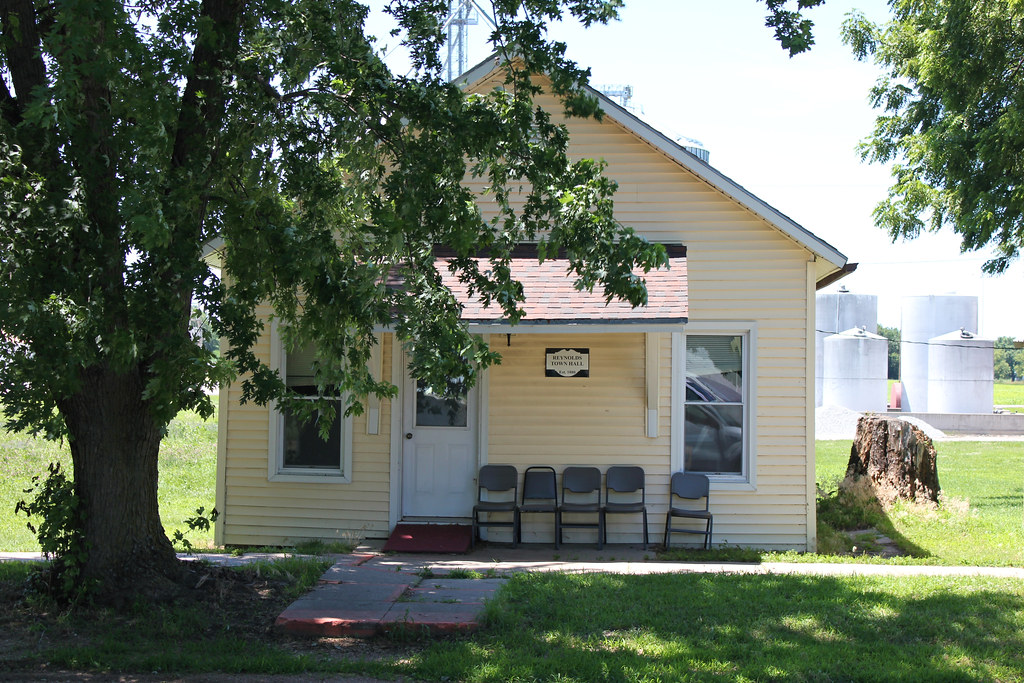
Town Hall - Reynolds, NE
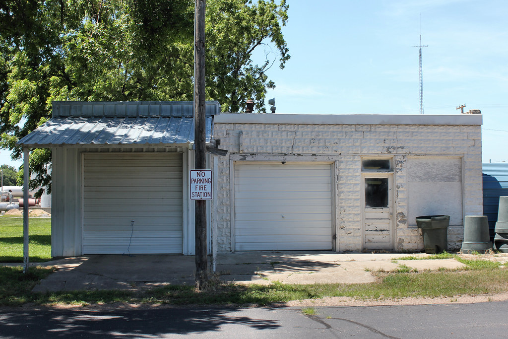
Fire Station - Reynolds, NE
Gas Station - Reynolds, NE
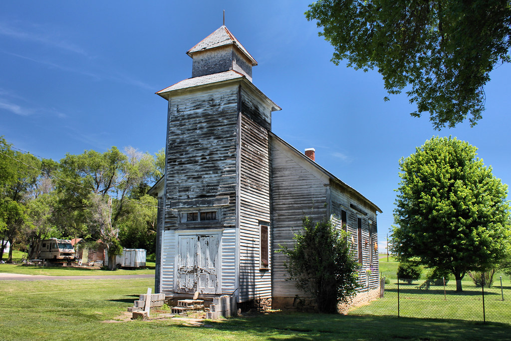
Abandoned Church - Reynolds, NE
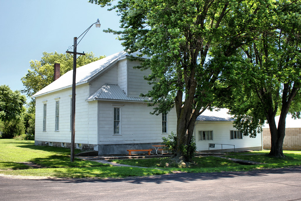
Community Building - Reynolds, NE
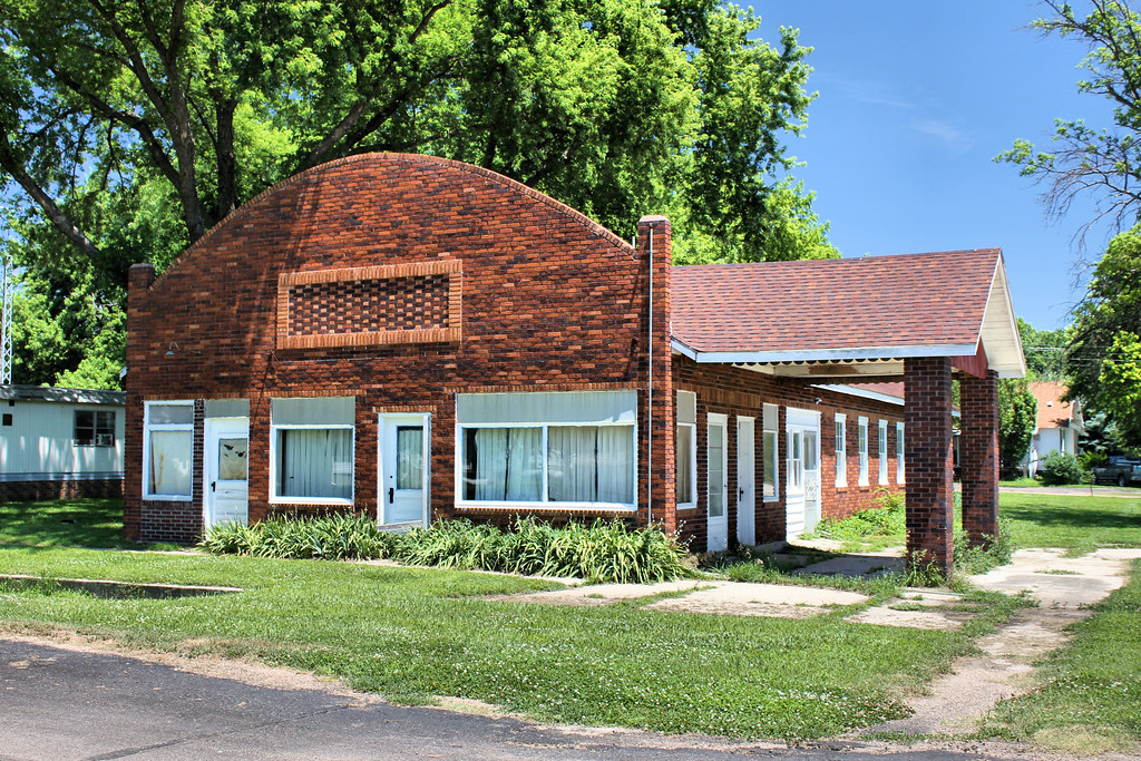
Gas Station - Reynolds, NE

Becker & Chancellor Service Station Building - Fairbury, NE
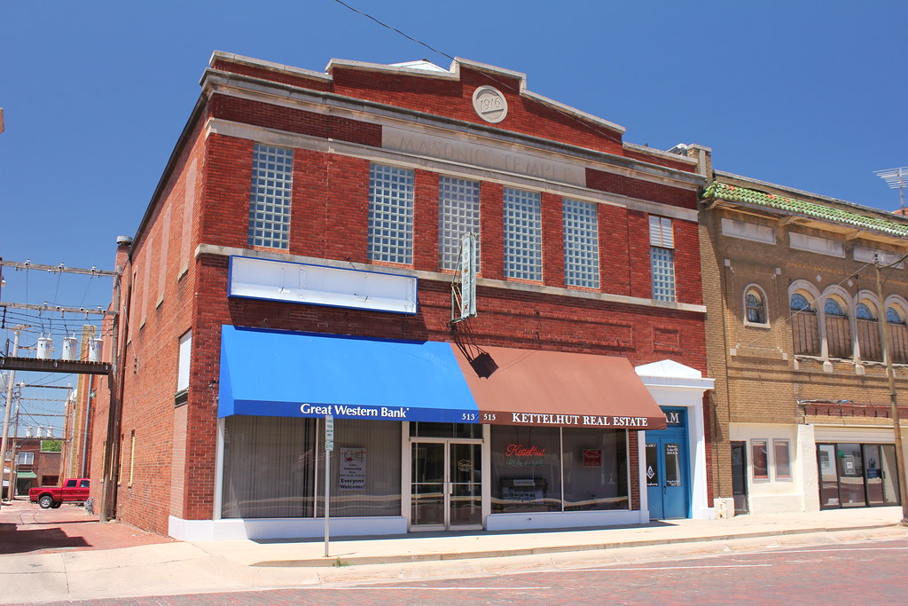
Masonic Temple - Fairbury, NE
Topographic Map of E St, Fairbury, NE, USA
Find elevation by address:

Places near E St, Fairbury, NE, USA:
Fairbury
24th St & H St
Jefferson County
NE-8, Steele City, NE, USA
Steele City Canyon
Endicott
Buckley
70340 560th Ave
North St, Alexandria, NE, USA
N Main St, Gilead, NE, USA
Gilead
Alexandria
South Fork
Western
Albion
Washington County
Western, NE, USA
Narka
Kansas Ave, Narka, KS, USA
Main St, Haddam, KS, USA
Recent Searches:
- Elevation of Corso Fratelli Cairoli, 35, Macerata MC, Italy
- Elevation of Tallevast Rd, Sarasota, FL, USA
- Elevation of 4th St E, Sonoma, CA, USA
- Elevation of Black Hollow Rd, Pennsdale, PA, USA
- Elevation of Oakland Ave, Williamsport, PA, USA
- Elevation of Pedrógão Grande, Portugal
- Elevation of Klee Dr, Martinsburg, WV, USA
- Elevation of Via Roma, Pieranica CR, Italy
- Elevation of Tavkvetili Mountain, Georgia
- Elevation of Hartfords Bluff Cir, Mt Pleasant, SC, USA