Elevation of th St, Burlington, IA, USA
Location: United States > Iowa > Des Moines County > Benton >
Longitude: -91.040681
Latitude: 40.977568
Elevation: 167m / 548feet
Barometric Pressure: 99KPa
Elevation Map:
Satellite Map:
Related Photos:

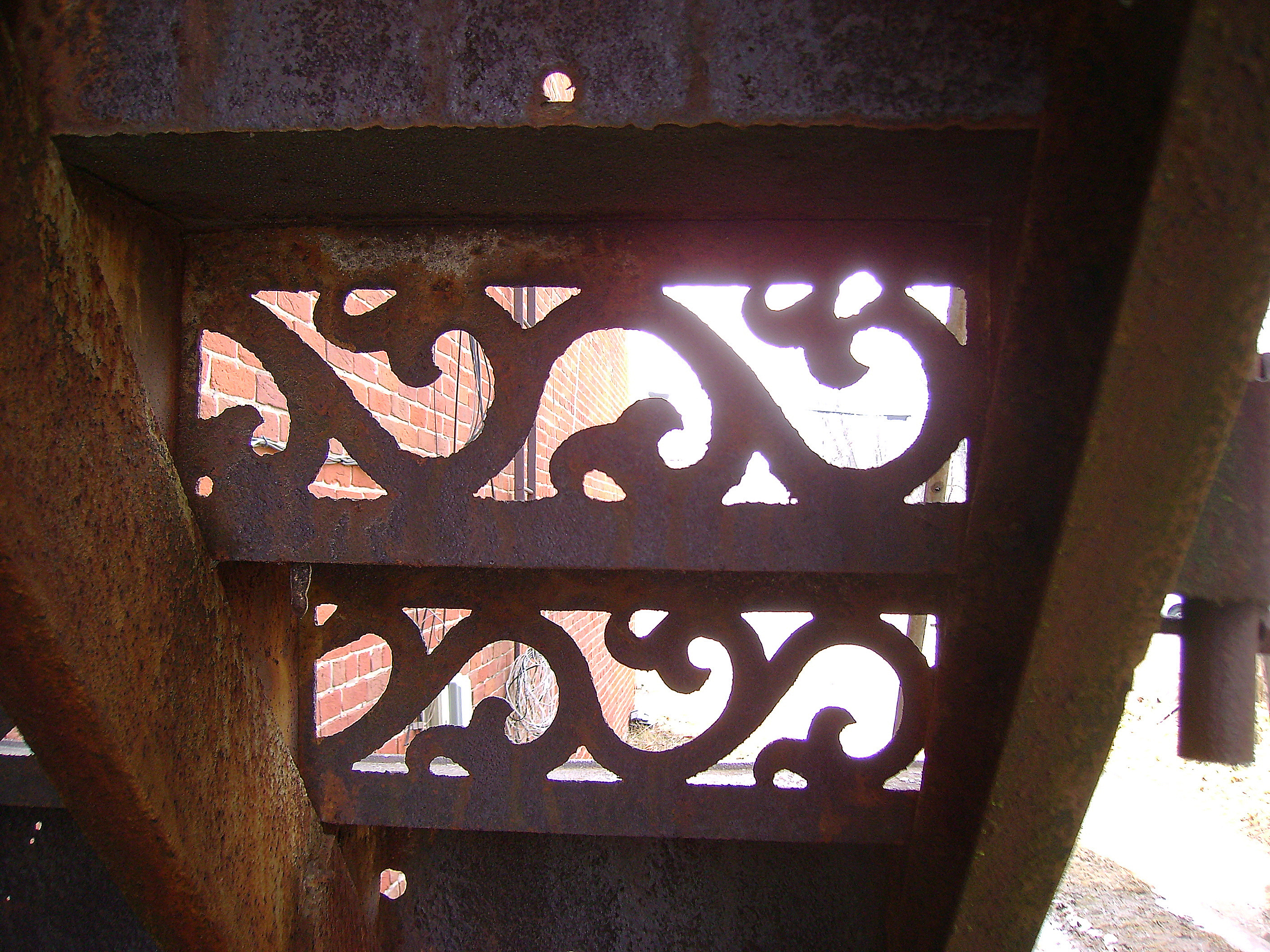
objects in this mirror
View from Down Under
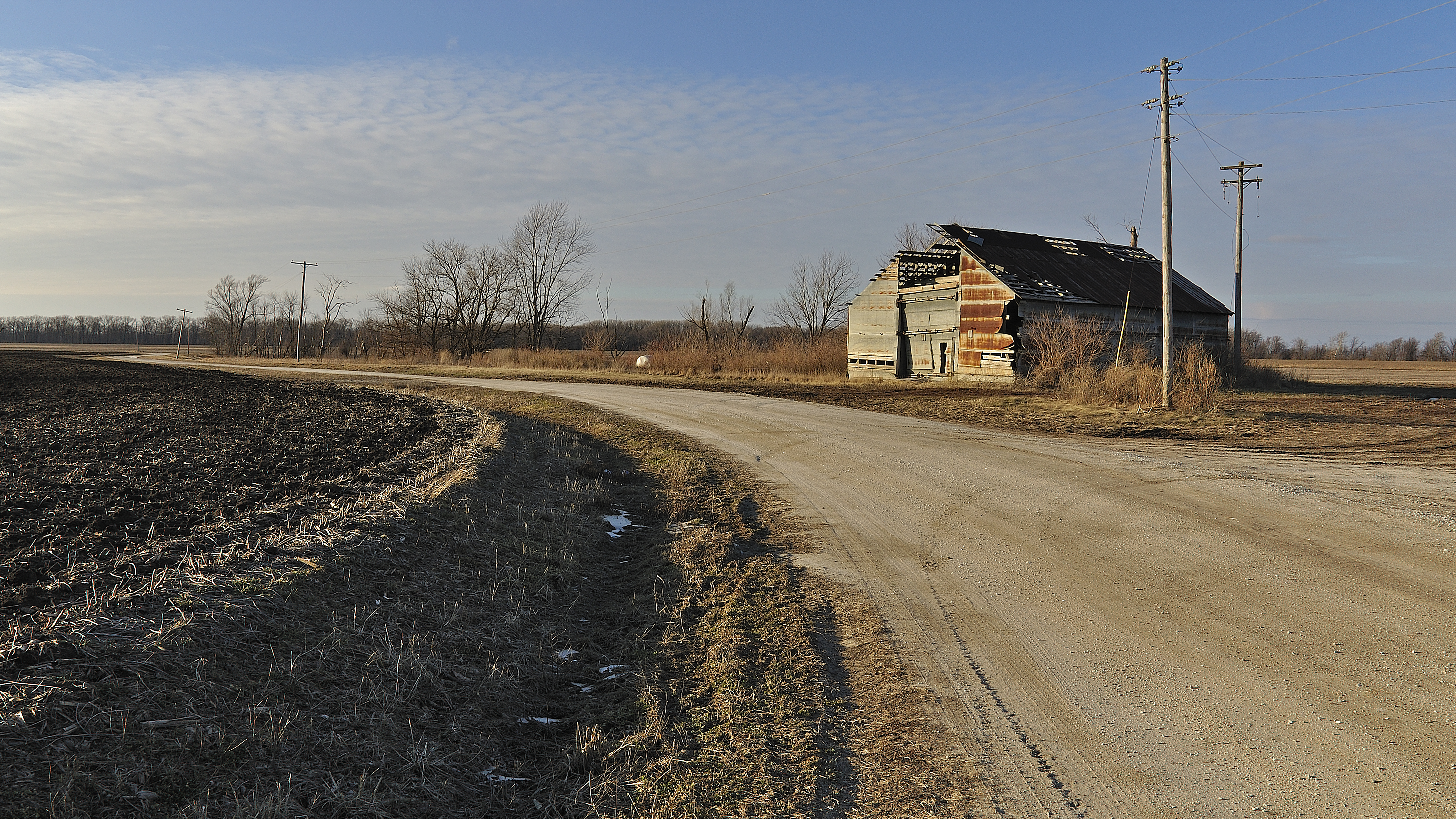
Old Barn near Oquawka
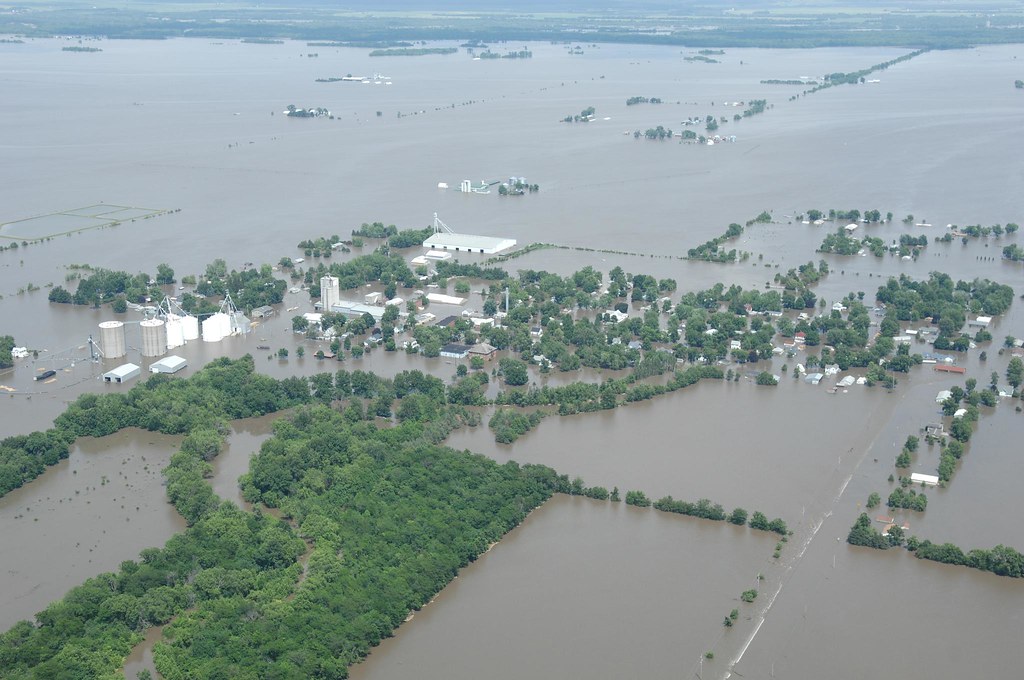
Oakville, Iowa flooded
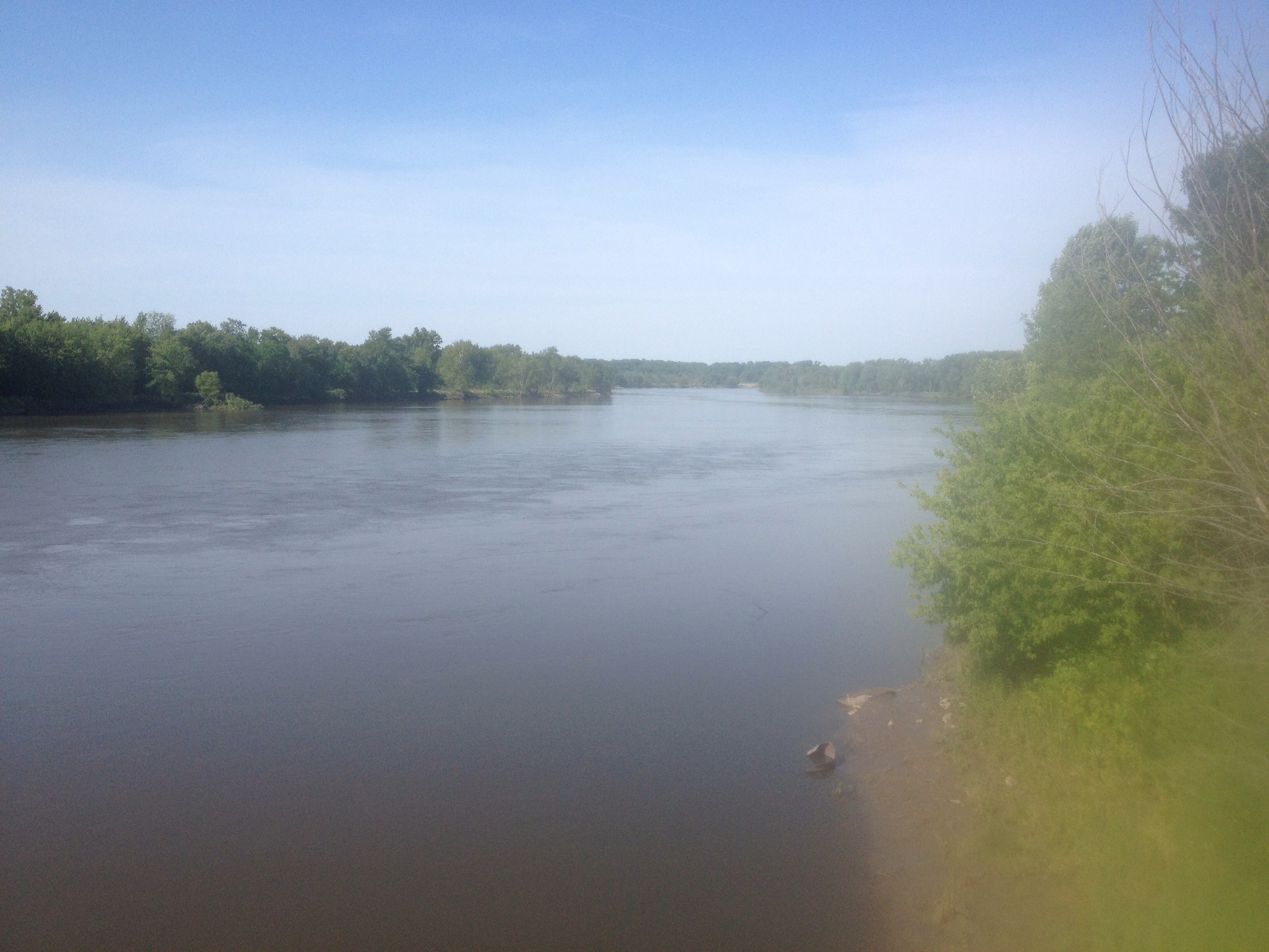
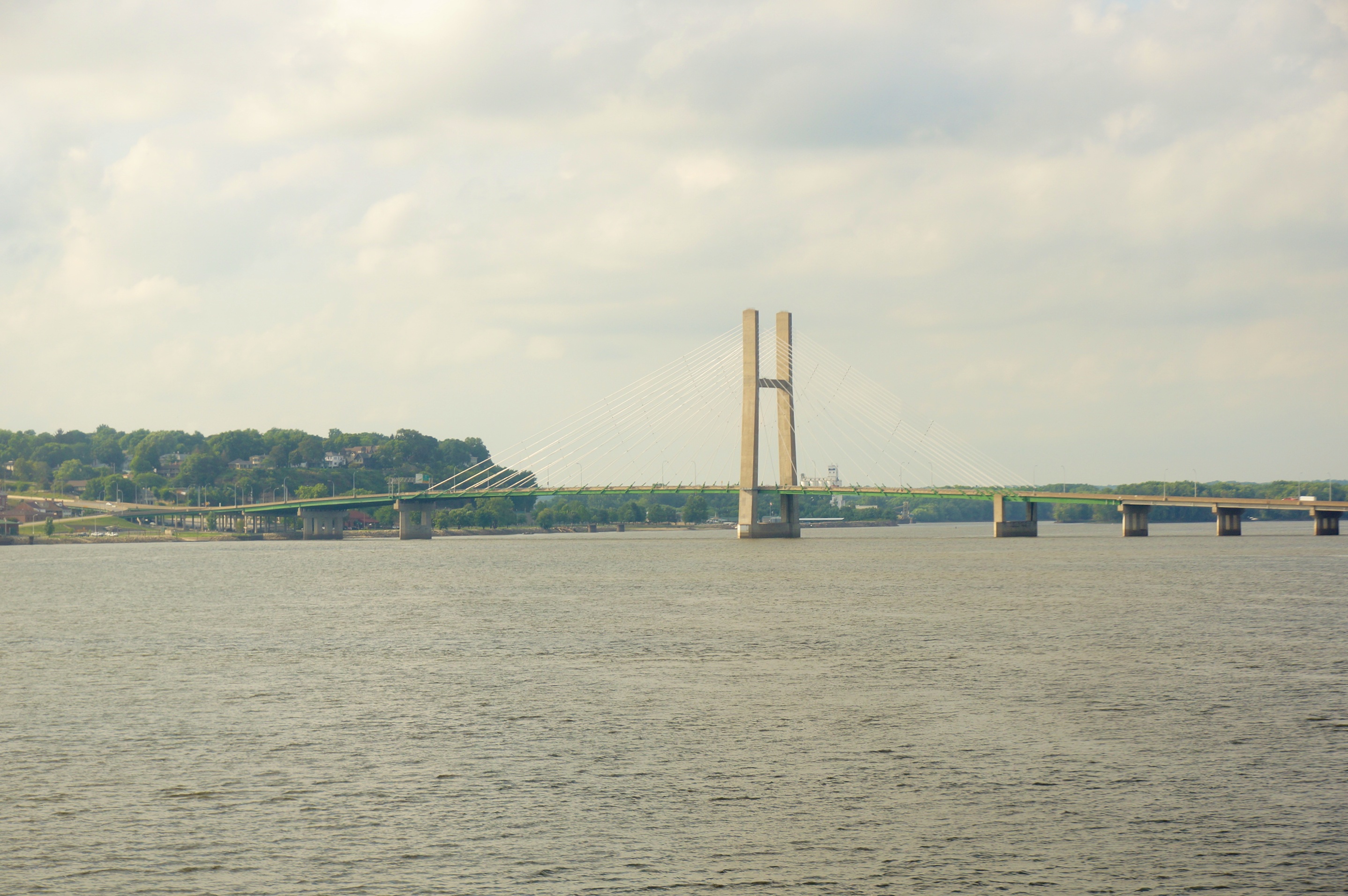
Great Rivers.

Day 17: Tow passing Pigeon Camp

Day 17: Pigeon Camp

Day 18

Day 17: Sand dune at Pigeon Camp

Day 17: Pigeon Camp

Day 17: Tow passing near Pigeon Camp
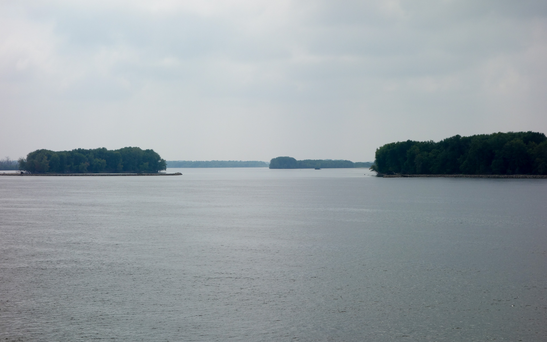
Jacoby, Camp, and Benton Islands
Glass Across the Country 28531
Topographic Map of th St, Burlington, IA, USA
Find elevation by address:

Places near th St, Burlington, IA, USA:
Huron
Highway 99
Benton
106 Seventh St
Oquawka
Schuyler St, Oquawka, IL, USA
Irish Ridge Rd, Burlington, IA, USA
Sperry
2 Hogback Is, Burlington, IA, USA
601 2nd St
Oakville
Oquawka Township
Tama
Eliot
Main St, Mediapolis, IA, USA
Mediapolis
Gladstone Township
Gladstone
Sycamore St, Gladstone, IL, USA
Township Road
Recent Searches:
- Elevation of Garretts Run Rd, Ford City, PA, USA
- Elevation of N WI-55, Freedom, WI, USA
- Elevation map of Hadiya, Ethiopia
- Elevation of Hosaina, Ethiopia
- Elevation of Verde Terrace, North Port, FL, USA
- Elevation of US-, Leesburg, FL, USA
- Elevation of Summit Dr, Kerrville, TX, USA
- Elevation of Hanson Rd, Cedaredge, CO, USA
- Elevation of Maxine St NE, Albuquerque, NM, USA
- Elevation of Blattner Rd, Philo, CA, USA