Elevation of Oquawka Township, IL, USA
Location: United States > Illinois > Henderson County >
Longitude: -90.924750
Latitude: 40.9347974
Elevation: 170m / 558feet
Barometric Pressure: 99KPa
Elevation Map:
Satellite Map:
Related Photos:
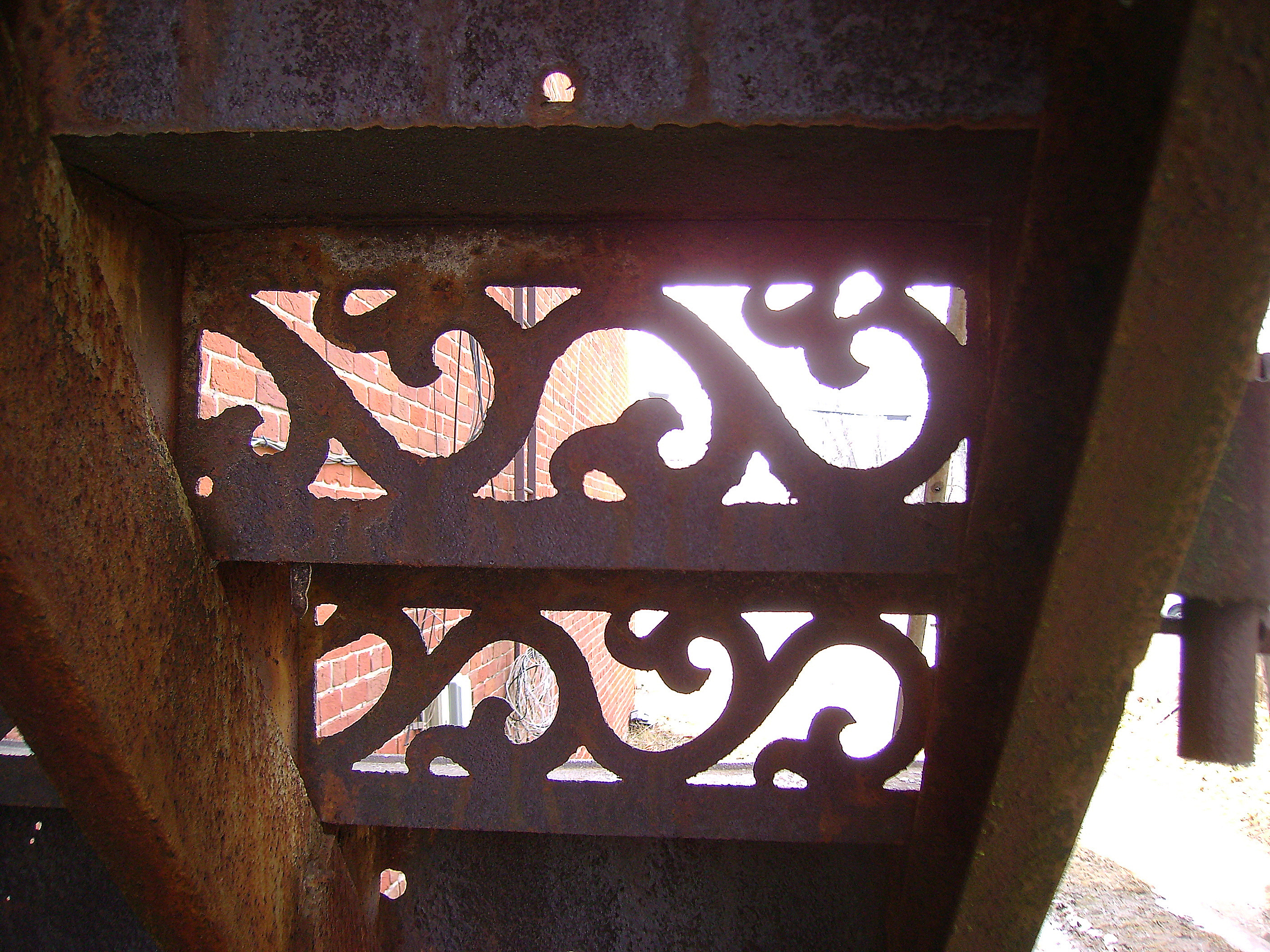
View from Down Under

RI038205.JPG
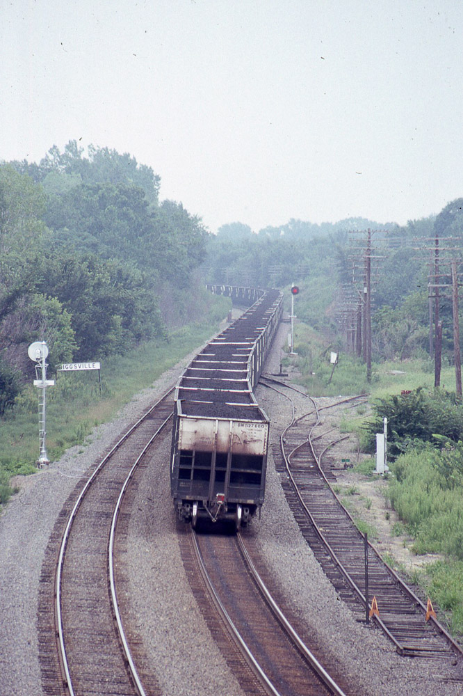
BN coal moving east past Biggsville IL on 8/19/89
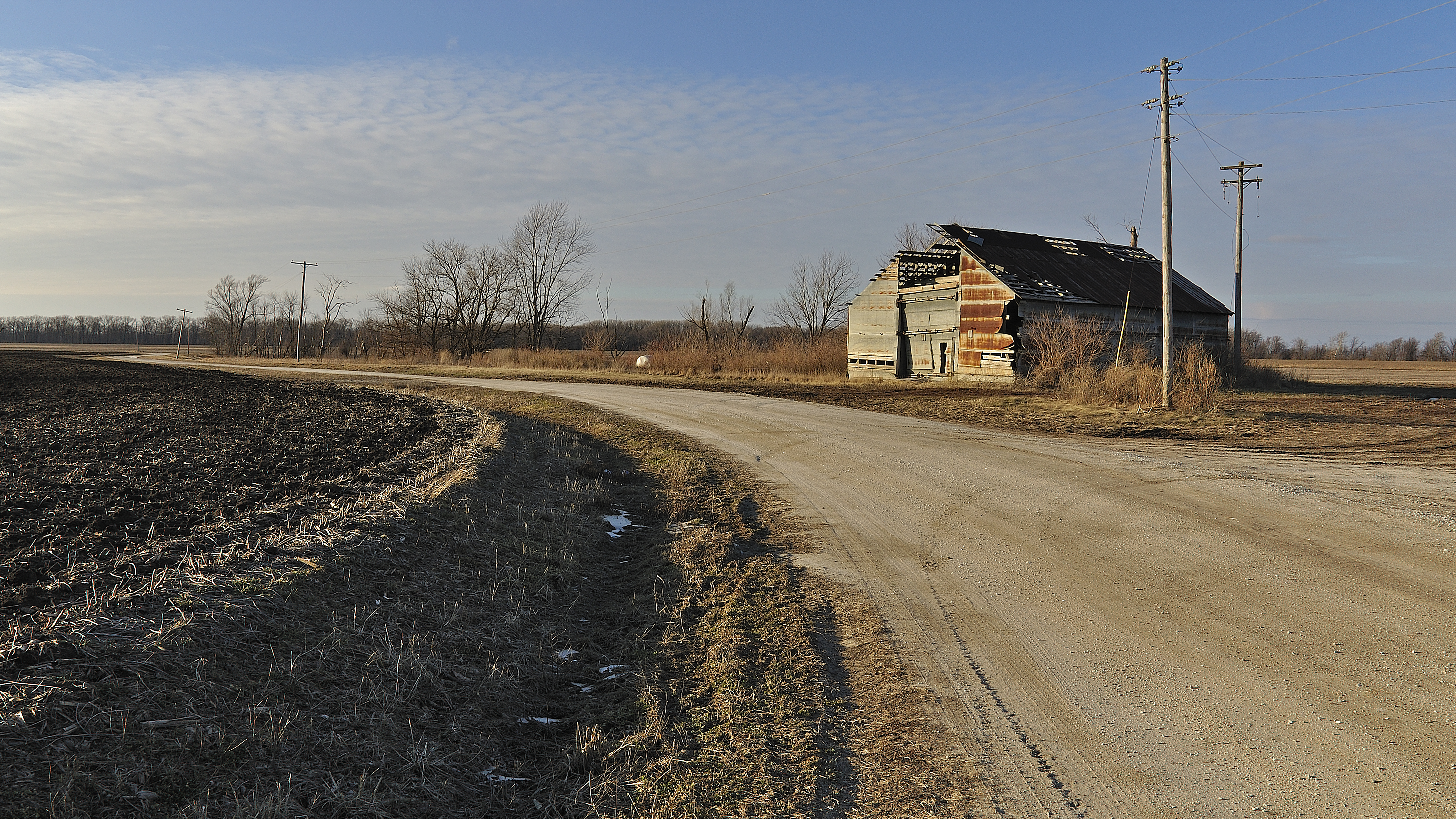
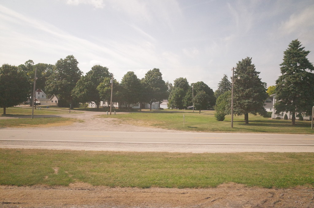
Old Barn near Oquawka

Day 17: Tow passing Pigeon Camp

Day 18

Day 17: Pigeon Camp

Day 17: Sand dune at Pigeon Camp

Day 17: Tow passing near Pigeon Camp

Day 17: Pigeon Camp
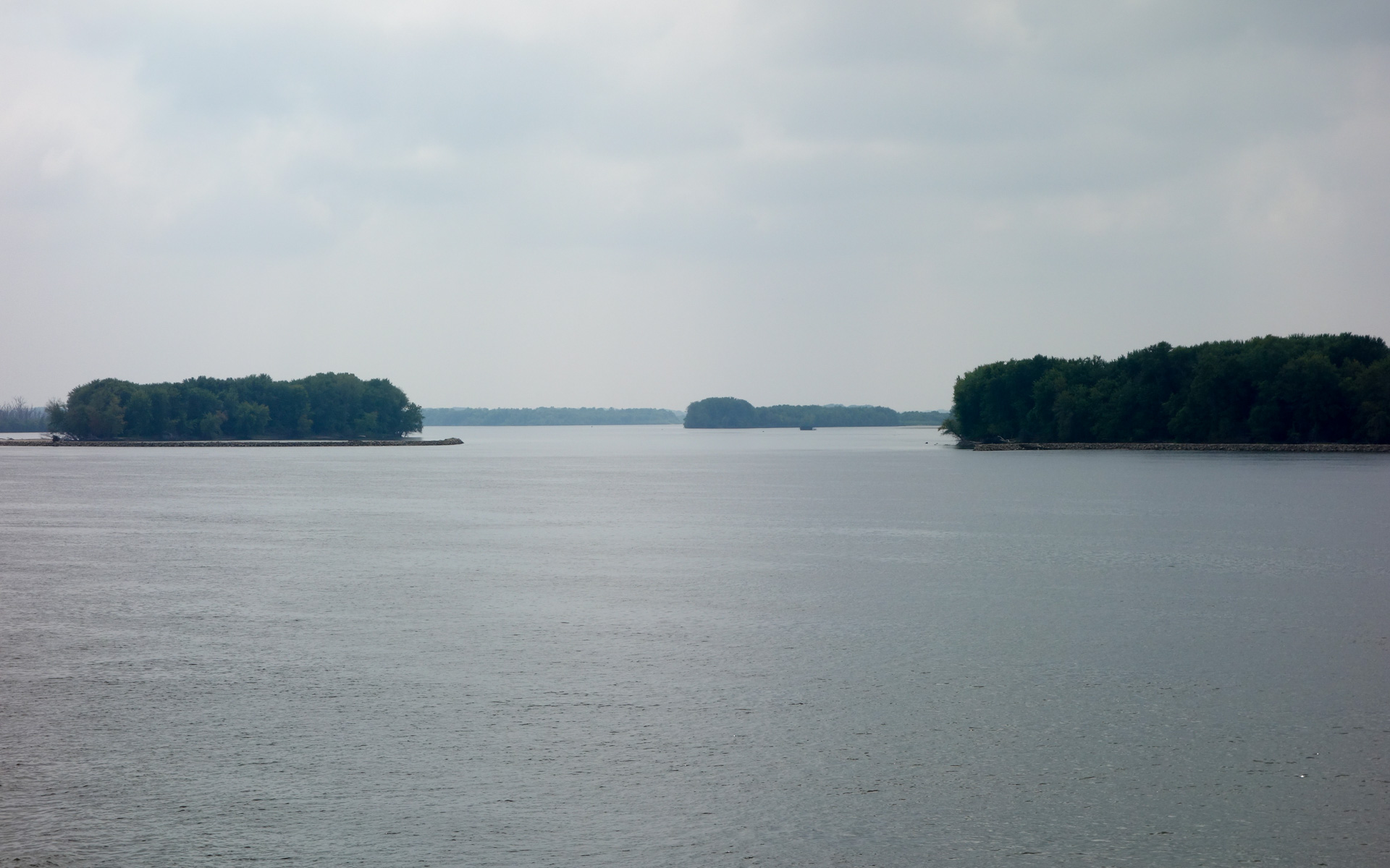
Jacoby, Camp, and Benton Islands
RI038201.JPG
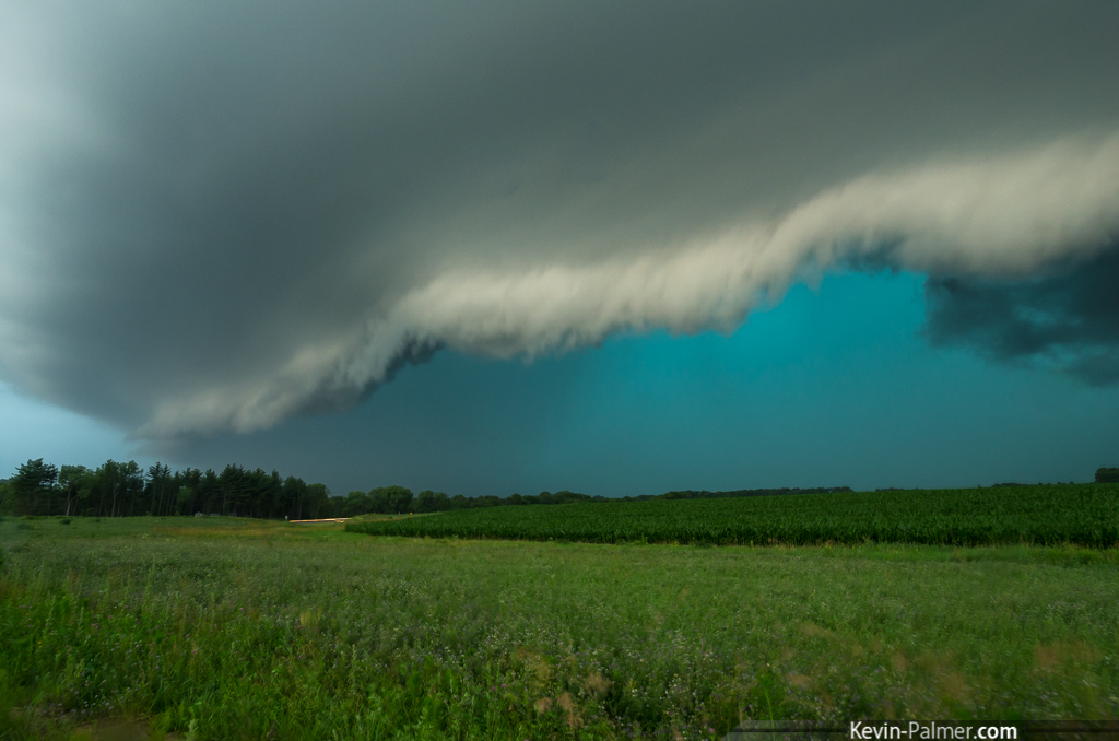
Green Monster

BN U30C #5334 bringing the empty coal hoppers west through Biggsville IL on 8/19/89
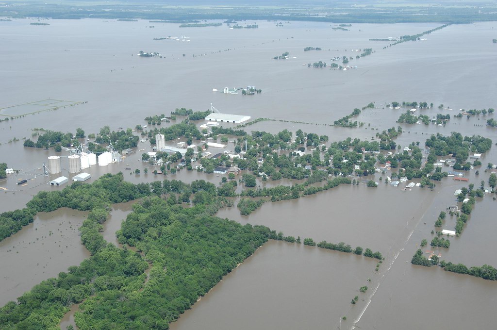
Oakville, Iowa flooded
Topographic Map of Oquawka Township, IL, USA
Find elevation by address:

Places in Oquawka Township, IL, USA:
Places near Oquawka Township, IL, USA:
Schuyler St, Oquawka, IL, USA
Oquawka
106 Seventh St
Rozetta Township
Gladstone
Sycamore St, Gladstone, IL, USA
Biggsville
S Church St, Biggsville, IL, USA
Henderson County
Biggsville Township
Gladstone Township
Township Road
th St, Burlington, IA, USA
Huron
Highway 99
2 Hogback Is, Burlington, IA, USA
Benton
Keithsburg
Washington St, New Boston, IL, USA
Tama
Recent Searches:
- Elevation of Groblershoop, South Africa
- Elevation of Power Generation Enterprises | Industrial Diesel Generators, Oak Ave, Canyon Country, CA, USA
- Elevation of Chesaw Rd, Oroville, WA, USA
- Elevation of N, Mt Pleasant, UT, USA
- Elevation of 6 Rue Jules Ferry, Beausoleil, France
- Elevation of Sattva Horizon, 4JC6+G9P, Vinayak Nagar, Kattigenahalli, Bengaluru, Karnataka, India
- Elevation of Great Brook Sports, Gold Star Hwy, Groton, CT, USA
- Elevation of 10 Mountain Laurels Dr, Nashua, NH, USA
- Elevation of 16 Gilboa Ln, Nashua, NH, USA
- Elevation of Laurel Rd, Townsend, TN, USA