Elevation of Biggsville Township, IL, USA
Location: United States > Illinois > Henderson County >
Longitude: -90.848452
Latitude: 40.8545251
Elevation: 205m / 673feet
Barometric Pressure: 99KPa
Elevation Map:
Satellite Map:
Related Photos:
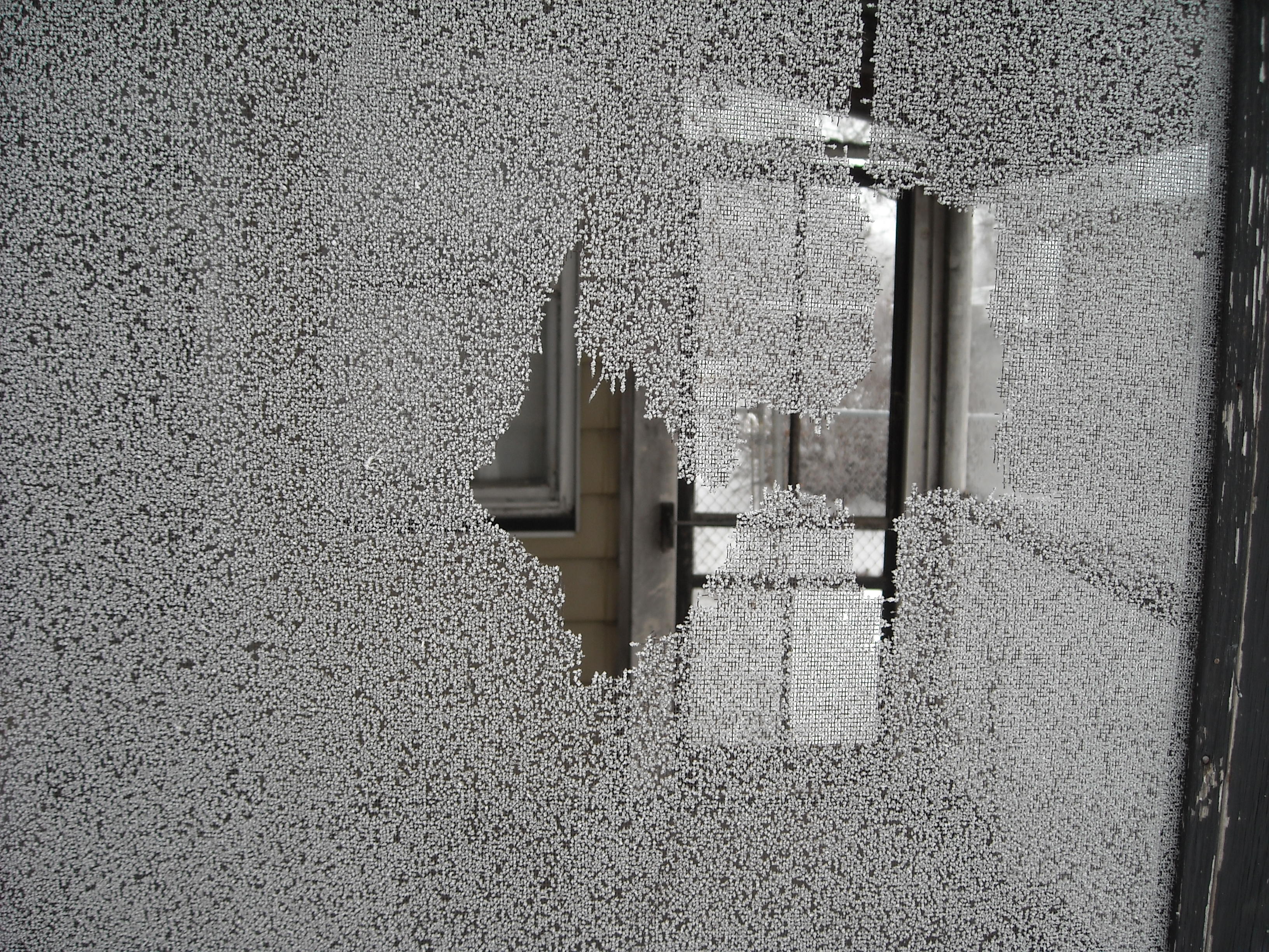
Winter View
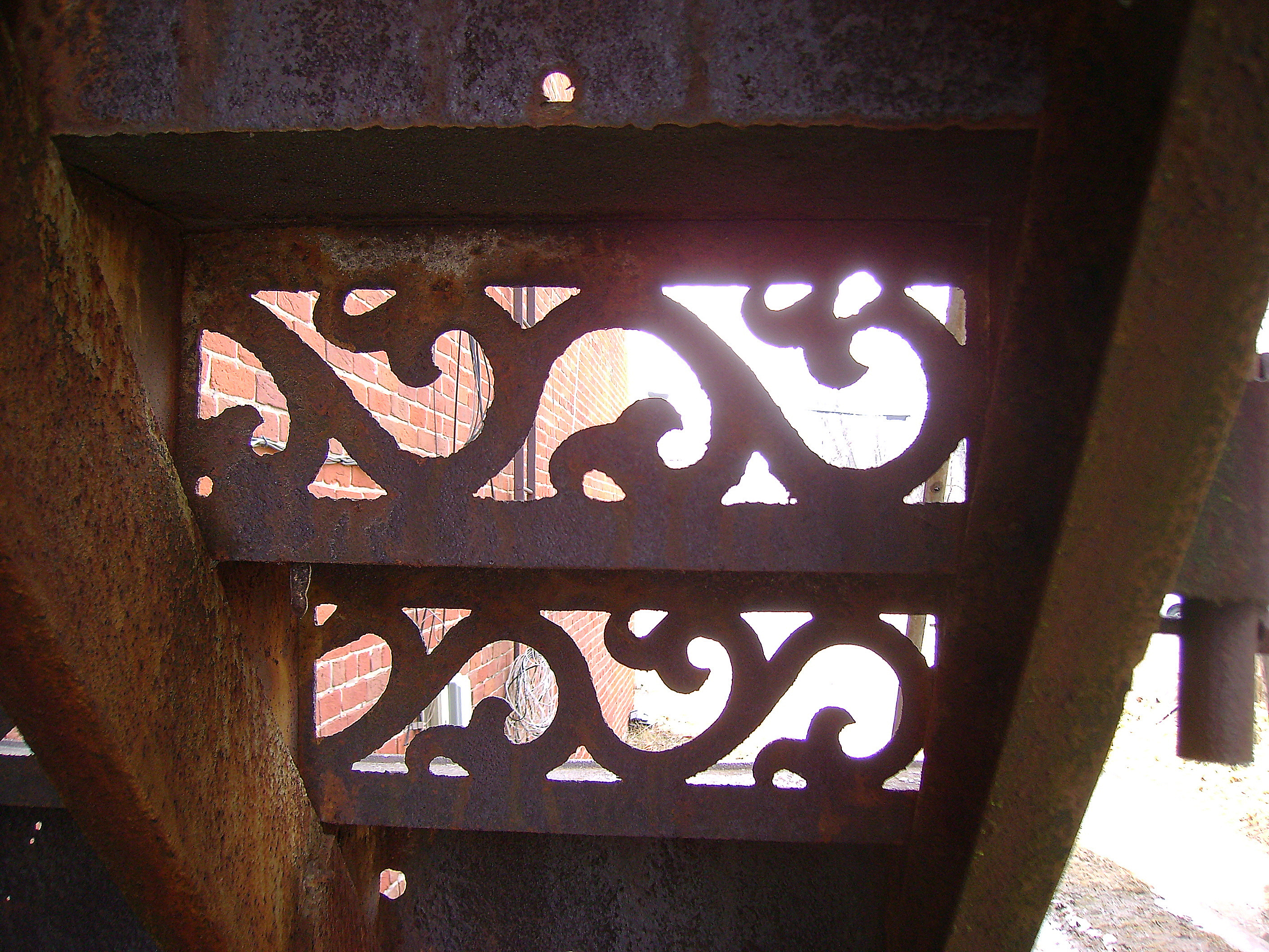
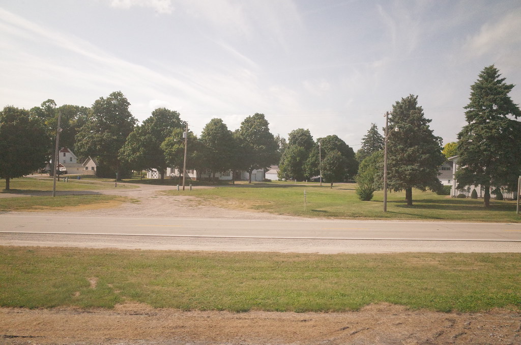
View from Down Under
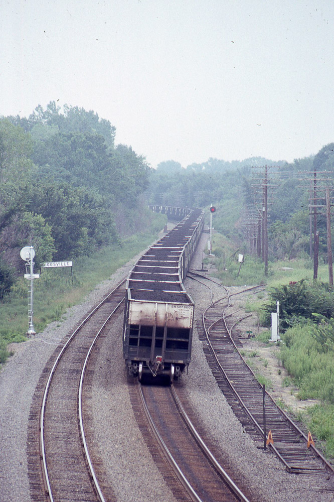
BN coal moving east past Biggsville IL on 8/19/89

Round Bales 1

Round Bales 2

RI038205.JPG
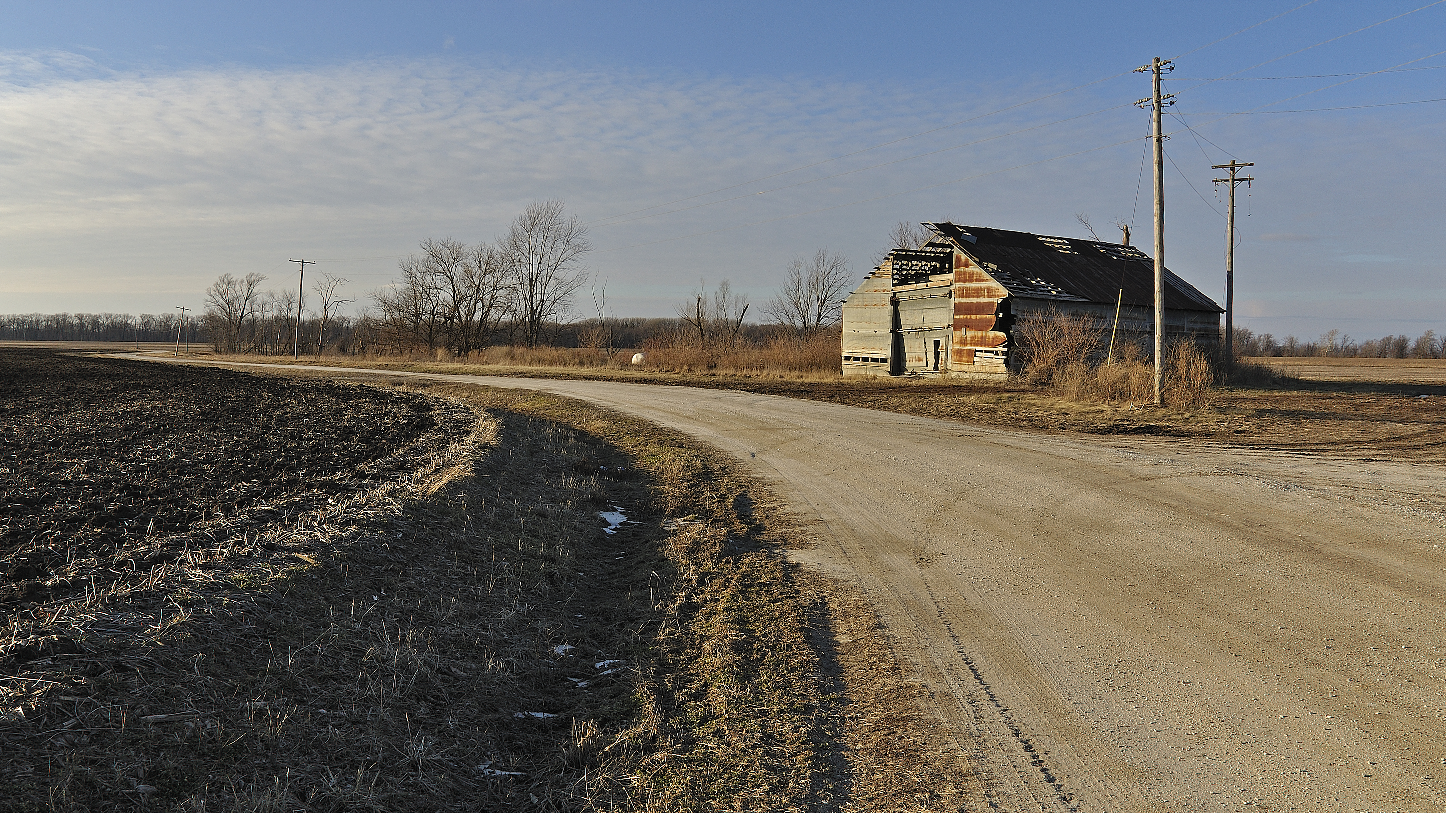
Old Barn near Oquawka
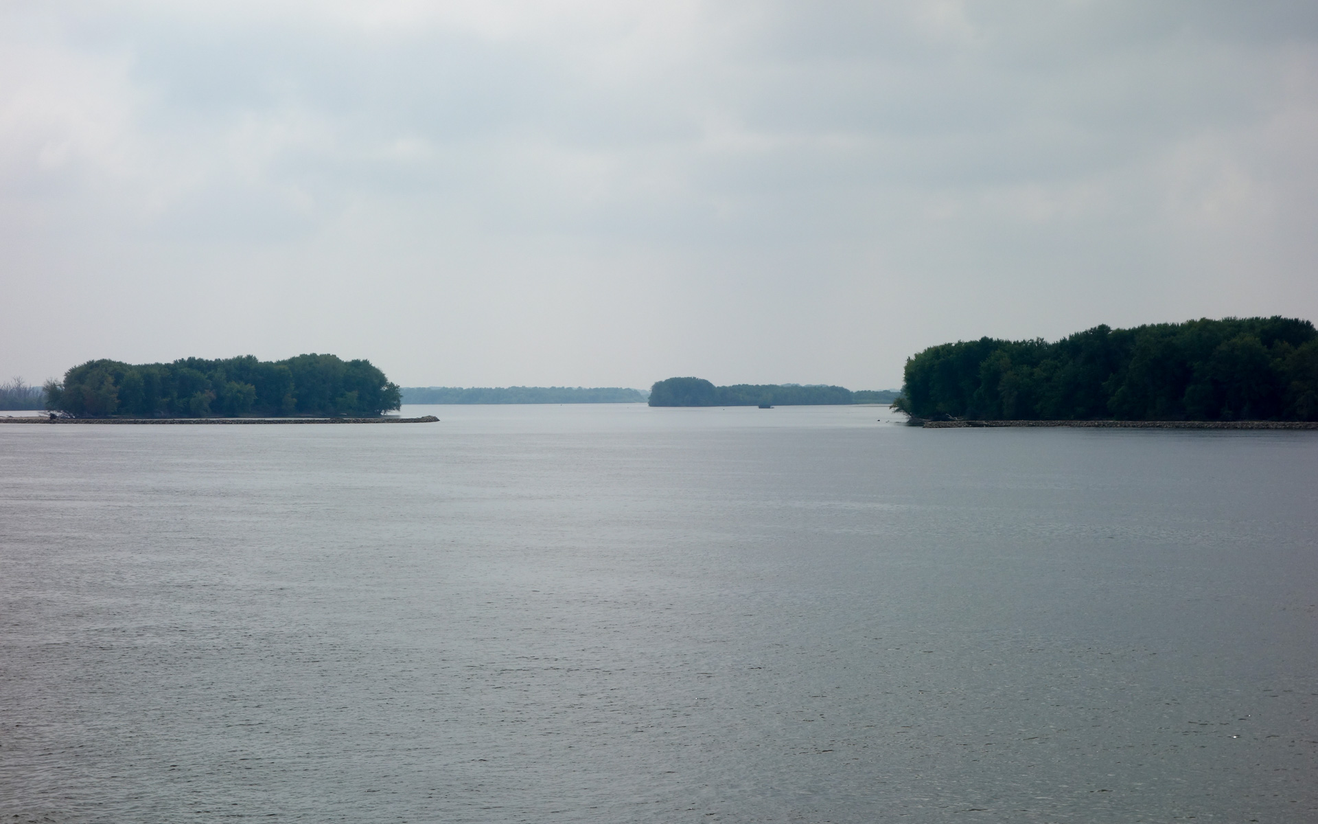
Jacoby, Camp, and Benton Islands
RI038201.JPG
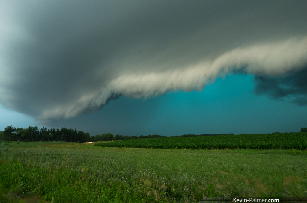
Green Monster
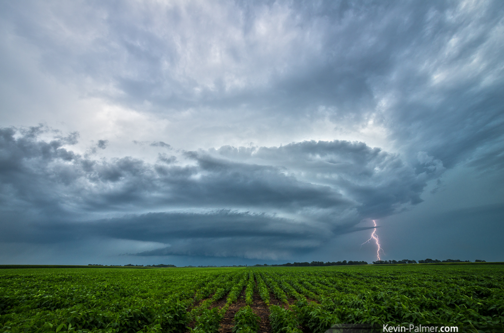
Stronghurst Supercell
Supercell CG

BN U30C #5334 bringing the empty coal hoppers west through Biggsville IL on 8/19/89
Topographic Map of Biggsville Township, IL, USA
Find elevation by address:

Places in Biggsville Township, IL, USA:
Places near Biggsville Township, IL, USA:
S Church St, Biggsville, IL, USA
Biggsville
Rozetta Township
Henderson County
Oquawka Township
Sycamore St, Gladstone, IL, USA
Gladstone
Schuyler St, Oquawka, IL, USA
Oquawka
106 Seventh St
Gladstone Township
Warren County
N Broadway St, Little York, IL, USA
Township Road
2 Hogback Is, Burlington, IA, USA
S 1st St, Monmouth, IL, USA
Monmouth
th St, Burlington, IA, USA
Tama
Gulf Port
Recent Searches:
- Elevation of 6 Rue Jules Ferry, Beausoleil, France
- Elevation of Sattva Horizon, 4JC6+G9P, Vinayak Nagar, Kattigenahalli, Bengaluru, Karnataka, India
- Elevation of Great Brook Sports, Gold Star Hwy, Groton, CT, USA
- Elevation of 10 Mountain Laurels Dr, Nashua, NH, USA
- Elevation of 16 Gilboa Ln, Nashua, NH, USA
- Elevation of Laurel Rd, Townsend, TN, USA
- Elevation of 3 Nestling Wood Dr, Long Valley, NJ, USA
- Elevation of Ilungu, Tanzania
- Elevation of Yellow Springs Road, Yellow Springs Rd, Chester Springs, PA, USA
- Elevation of Rēzekne Municipality, Latvia