Elevation of 2nd St, Oakville, IA, USA
Location: United States > Iowa > Louisa County > Eliot > Oakville >
Longitude: -91.043222
Latitude: 41.0993535
Elevation: 165m / 541feet
Barometric Pressure: 99KPa
Elevation Map:
Satellite Map:
Related Photos:

objects in this mirror
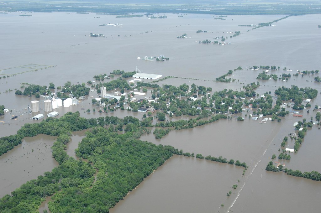
Oakville, Iowa flooded
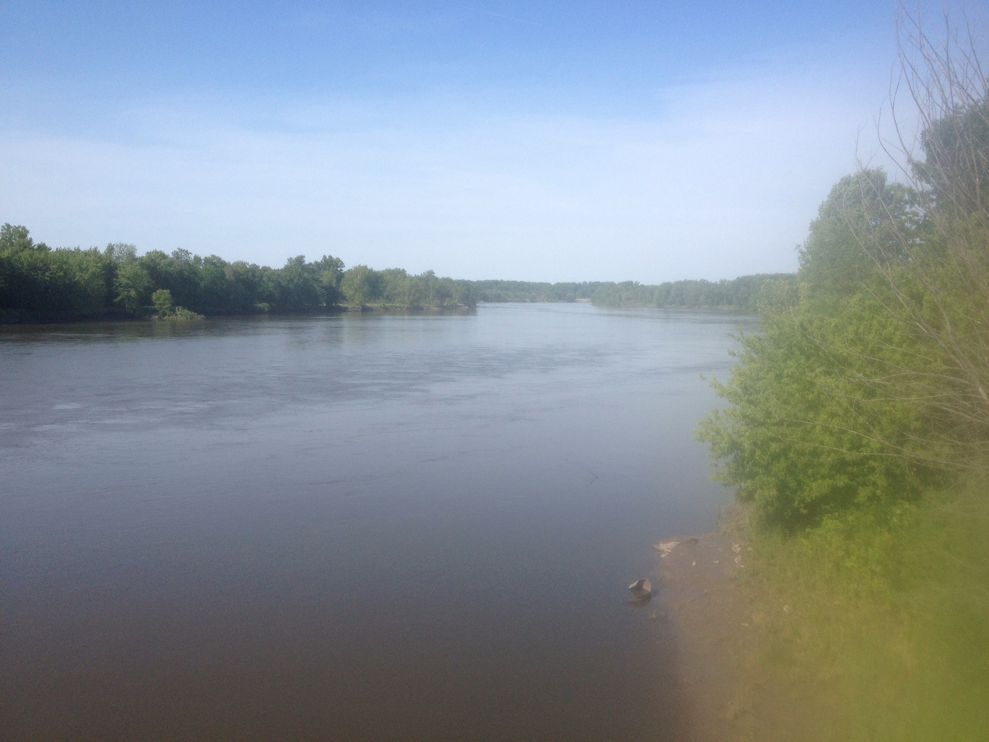
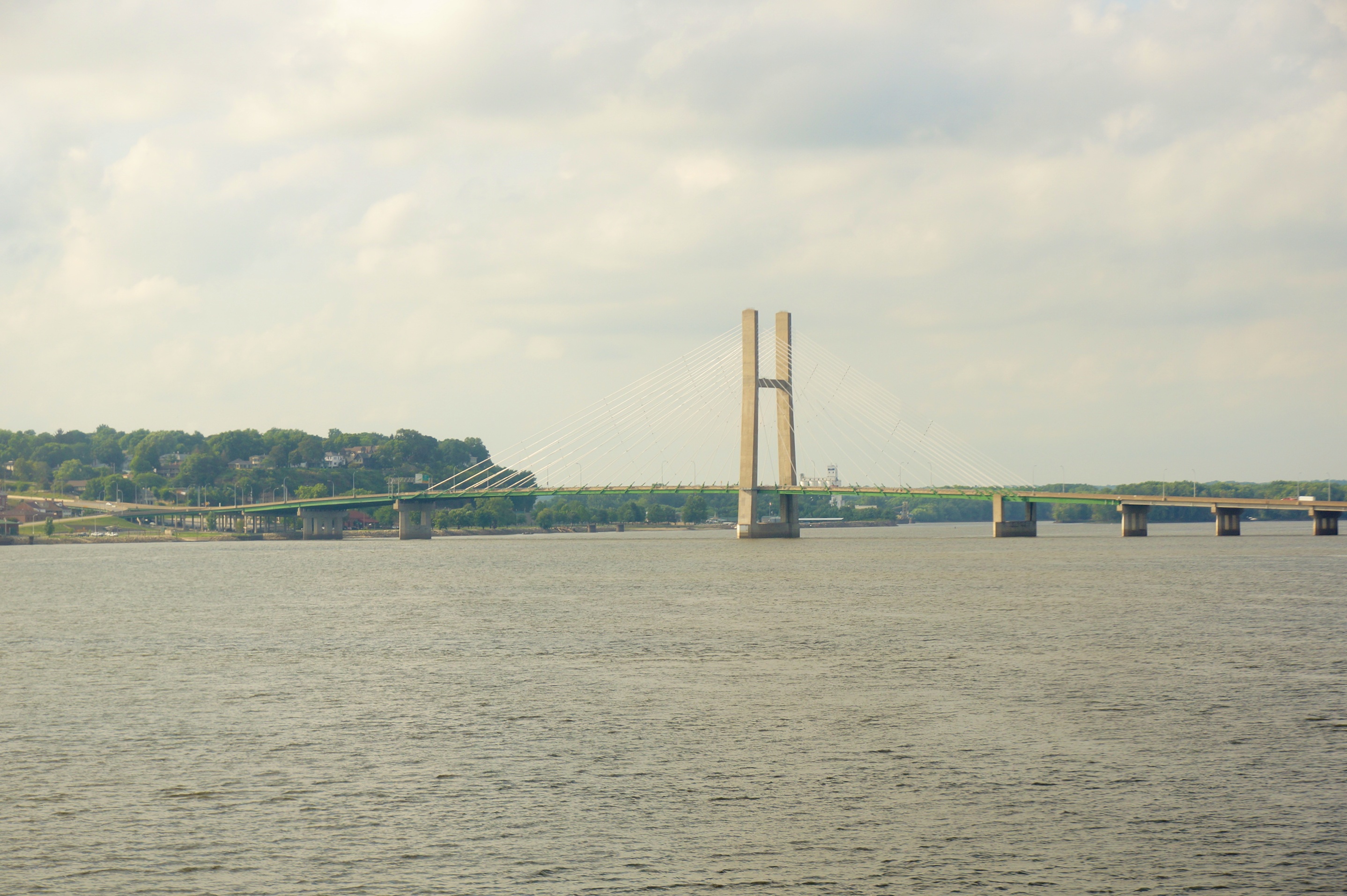
Great Rivers.

Day 16: Sunset at Pigeon Camp

Day 17: Tow passing Pigeon Camp

Angle to Key West

Day 17: Pigeon Camp

Day 18

Day 16: Abandoned railroad bridge in backwater near Keithsburg, IL

Day 16: Pelicans

Day 17: Sand dune at Pigeon Camp

Toolesboro Mounds- Louisa Co IA (4)

Day 16: Pelicans

Day 16: Pelicans

Day 16: Approaching abandoned railroad bridge in backwater near Keithsburg, IL

Day 17: Pigeon Camp

Day 16: Pelicans

Day 17: Tow passing near Pigeon Camp

Day 16: Pelicans

Day 16: Pelicans

Old trucks near Mediapolis, Iowa
Glass Across the Country 28531
Topographic Map of 2nd St, Oakville, IA, USA
Find elevation by address:

Places near 2nd St, Oakville, IA, USA:
Oakville
Co Rd 99, Wapello, IA, USA
Eliot
Jefferson
3940 31st Ave
Brass Island
Highway 99
New Boston
Huron
Keithsburg
Washington St, New Boston, IL, USA
th St, Burlington, IA, USA
Keithsburg Township
Township Road
Main St, Mediapolis, IA, USA
Mediapolis
F Ave, Wapello, IA, USA
303 S 2nd St
N 2nd St, Wapello, IA, USA
Wapello
Recent Searches:
- Elevation of Elwyn Dr, Roanoke Rapids, NC, USA
- Elevation of Congressional Dr, Stevensville, MD, USA
- Elevation of Bellview Rd, McLean, VA, USA
- Elevation of Stage Island Rd, Chatham, MA, USA
- Elevation of Shibuya Scramble Crossing, 21 Udagawacho, Shibuya City, Tokyo -, Japan
- Elevation of Jadagoniai, Kaunas District Municipality, Lithuania
- Elevation of Pagonija rock, Kranto 7-oji g. 8"N, Kaunas, Lithuania
- Elevation of Co Rd 87, Jamestown, CO, USA
- Elevation of Tenjo, Cundinamarca, Colombia
- Elevation of Côte-des-Neiges, Montreal, QC H4A 3J6, Canada