Elevation of th Ave, Pocahontas, IA, USA
Location: United States > Iowa > Pocahontas County > Roosevelt >
Longitude: -94.584150
Latitude: 42.7454938
Elevation: 371m / 1217feet
Barometric Pressure: 97KPa
Elevation Map:
Satellite Map:
Related Photos:
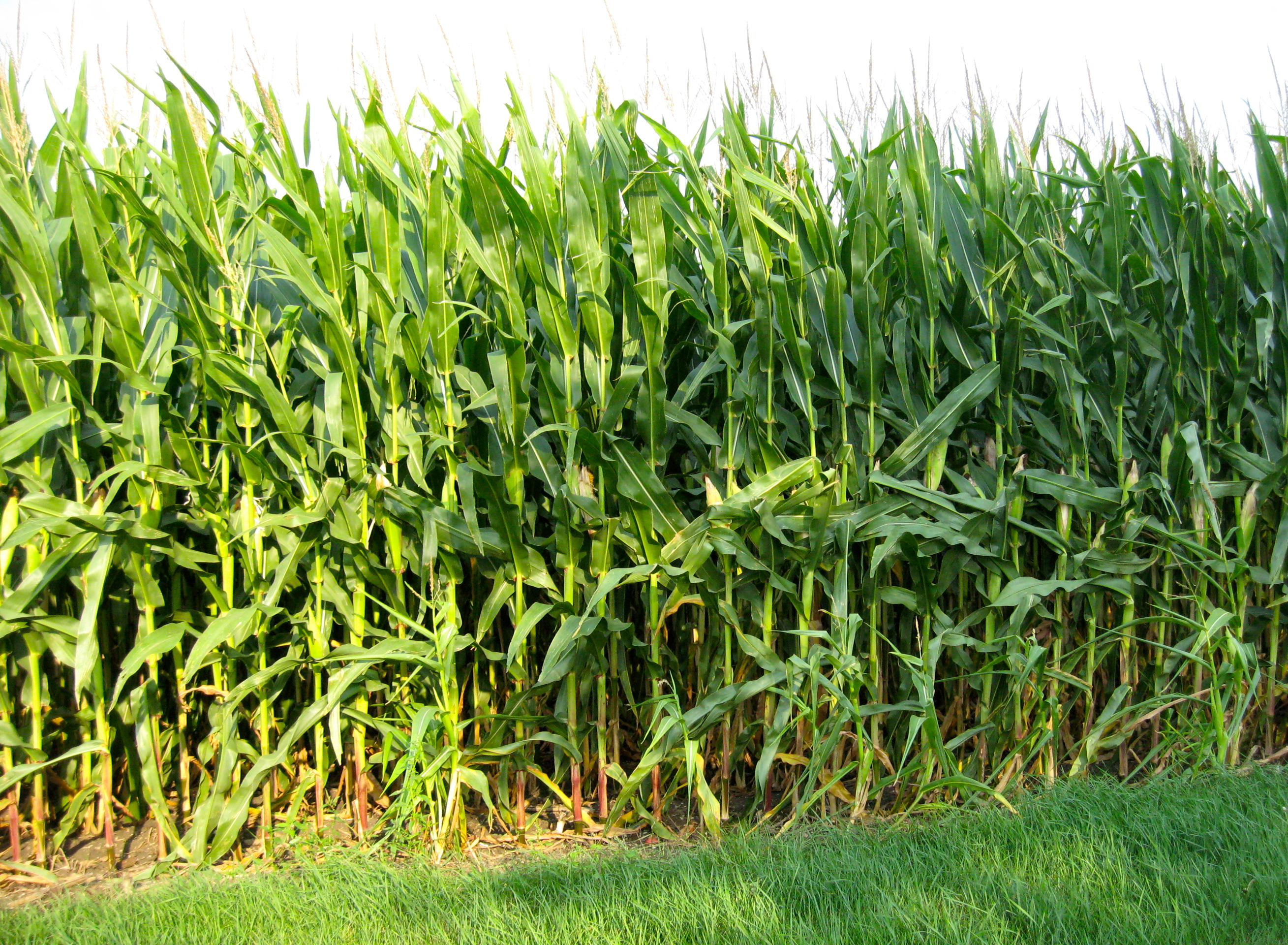
Stopping by Corn on a Summer Evening

Day 640: Da Bus!

Pool Bathhouse - Pocahontas, IA

Pool Bathhouse - Pocahontas, IA

Sts. Peter & Paul Catholic Church - Pocahontas, IA

Bank Building - Pocahontas, IA

Rialto Theater - Pocahontas, IA

Welcome to Bradgate Sign (Bradgate, Iowa)

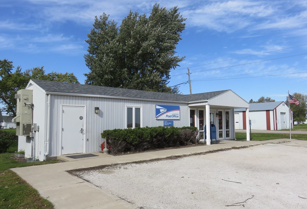
Post Office 50520 (Bradgate, Iowa)

Post Office 50581 (Rolfe, Iowa)
Post Office 50571 (Palmer, Iowa)

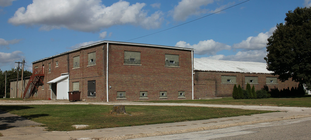
Pro Cooperative Elevator - Pocahontas, IA

Pocahontas, Iowa, Community Hospital

United Methodist Church - Plover, IA

Farmers Co-Op Elevator - Plover, IA

Pro Co-Op Elevator - Rolfe, IA

St. Margaret's Catholic Church - Rolfe, IA

Garage - Rolfe, IA
School Gymnasium - Rolfe, IA

Brinkman Auto Co. Building - Rolfe, IA

Roosevelt No. 7 School - Rolfe, IA

Rolfe Water Plant - Rolfe, IA

Des Moines Township Consolidated School Gymnasium - rural Rolfe, IA
Topographic Map of th Ave, Pocahontas, IA, USA
Find elevation by address:

Places near th Ave, Pocahontas, IA, USA:
Roosevelt
Pocahontas County
Main St, Palmer, IA, USA
Palmer
Powhatan
th St, Rolfe, IA, USA
Plover
S East St, Mallard, IA, USA
Mallard
1509 Main St
Pomeroy
S Cayuga St, Pomeroy, IA, USA
10th Ave, Manson, IA, USA
Manson
917 8th Ave
Country Store
Lincoln
Jackson
Rush Lake
Clare
Recent Searches:
- Elevation of Vista Blvd, Sparks, NV, USA
- Elevation of 15th Ave SE, St. Petersburg, FL, USA
- Elevation of Beall Road, Beall Rd, Florida, USA
- Elevation of Leguwa, Nepal
- Elevation of County Rd, Enterprise, AL, USA
- Elevation of Kolchuginsky District, Vladimir Oblast, Russia
- Elevation of Shustino, Vladimir Oblast, Russia
- Elevation of Lampiasi St, Sarasota, FL, USA
- Elevation of Elwyn Dr, Roanoke Rapids, NC, USA
- Elevation of Congressional Dr, Stevensville, MD, USA