Elevation of Tatsukawachō, Niihama-shi, Ehime-ken -, Japan
Location: Japan > Ehime Prefecture > Niihama >
Longitude: 133.313477
Latitude: 33.8771398
Elevation: 747m / 2451feet
Barometric Pressure: 93KPa
Elevation Map:
Satellite Map:
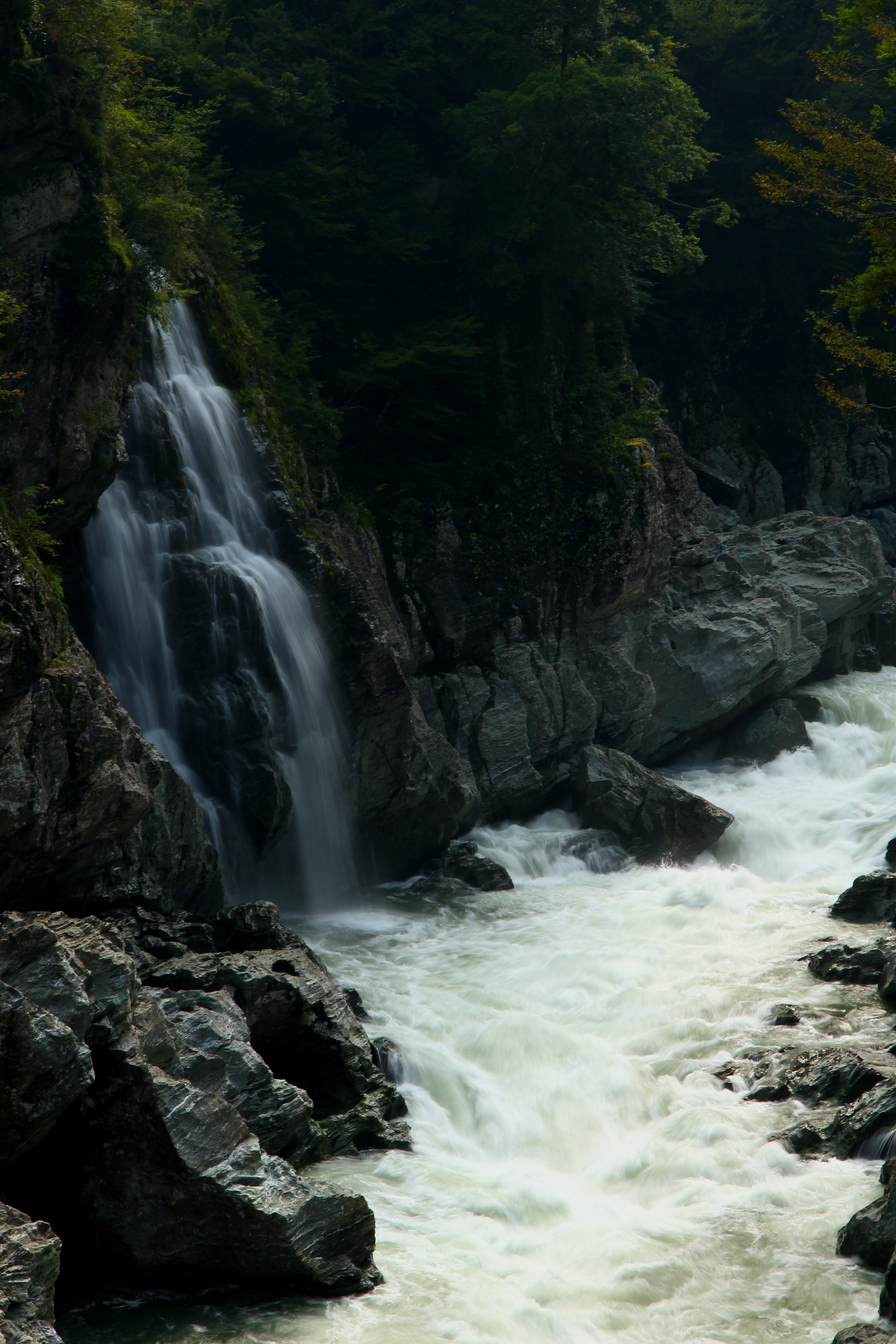
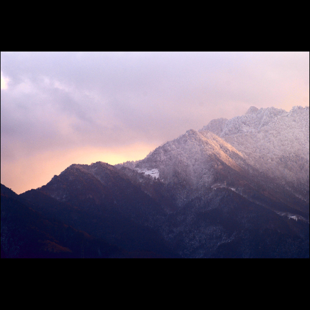
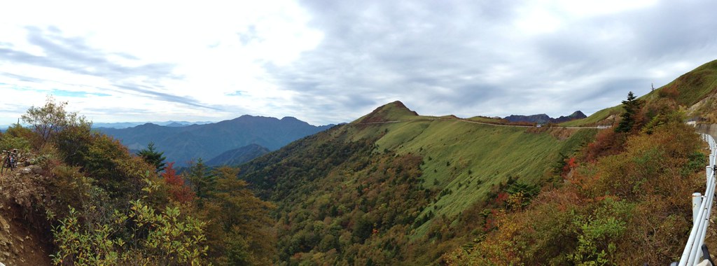
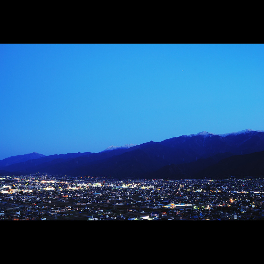
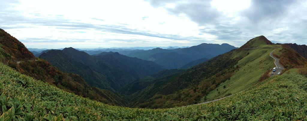
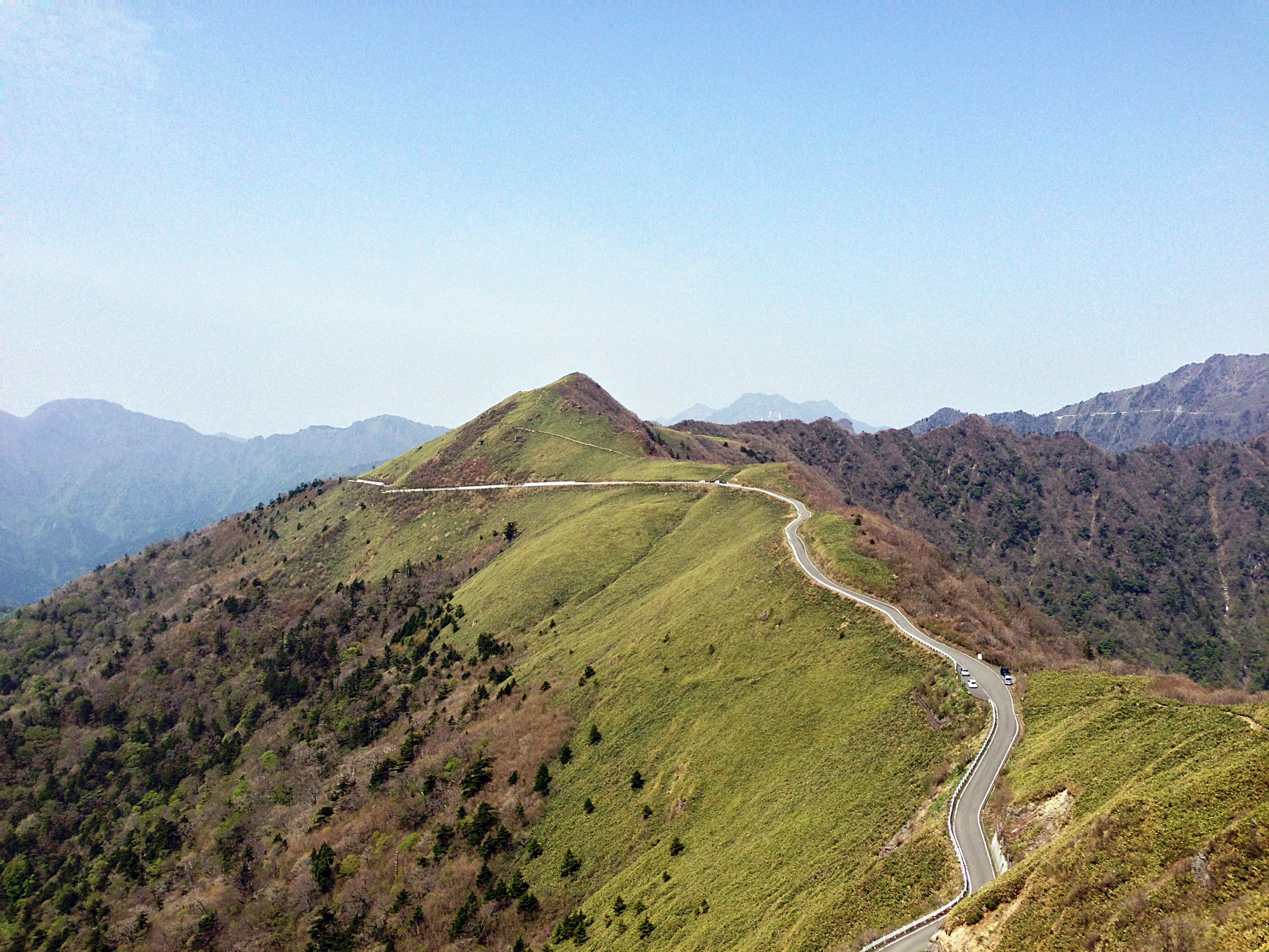
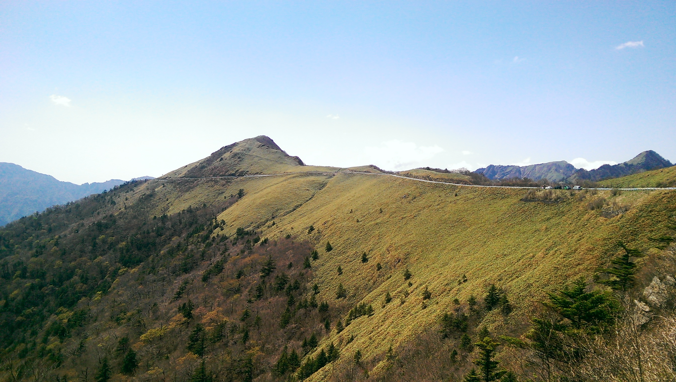
Related Photos:
A Rider
Beyond the Moonlight
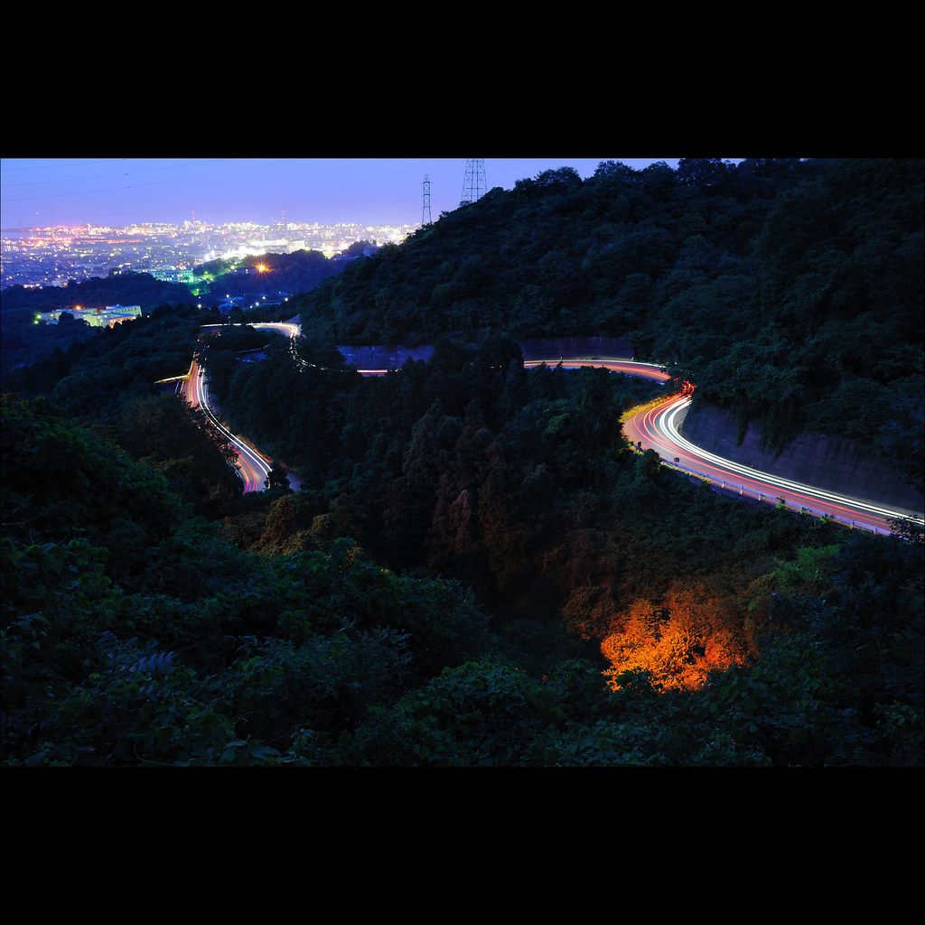
光的轨迹 · Trails of light
新世界 · Another world - 4
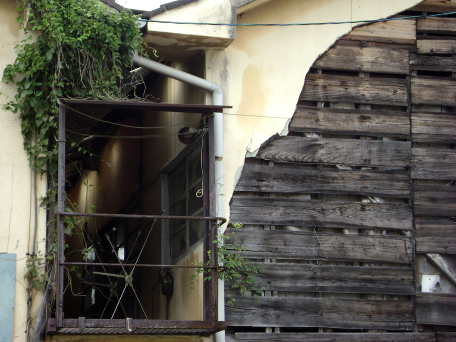
Niihama views
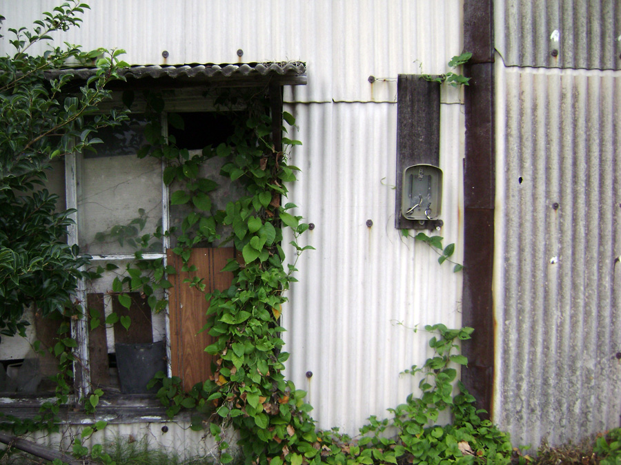
Niihama views
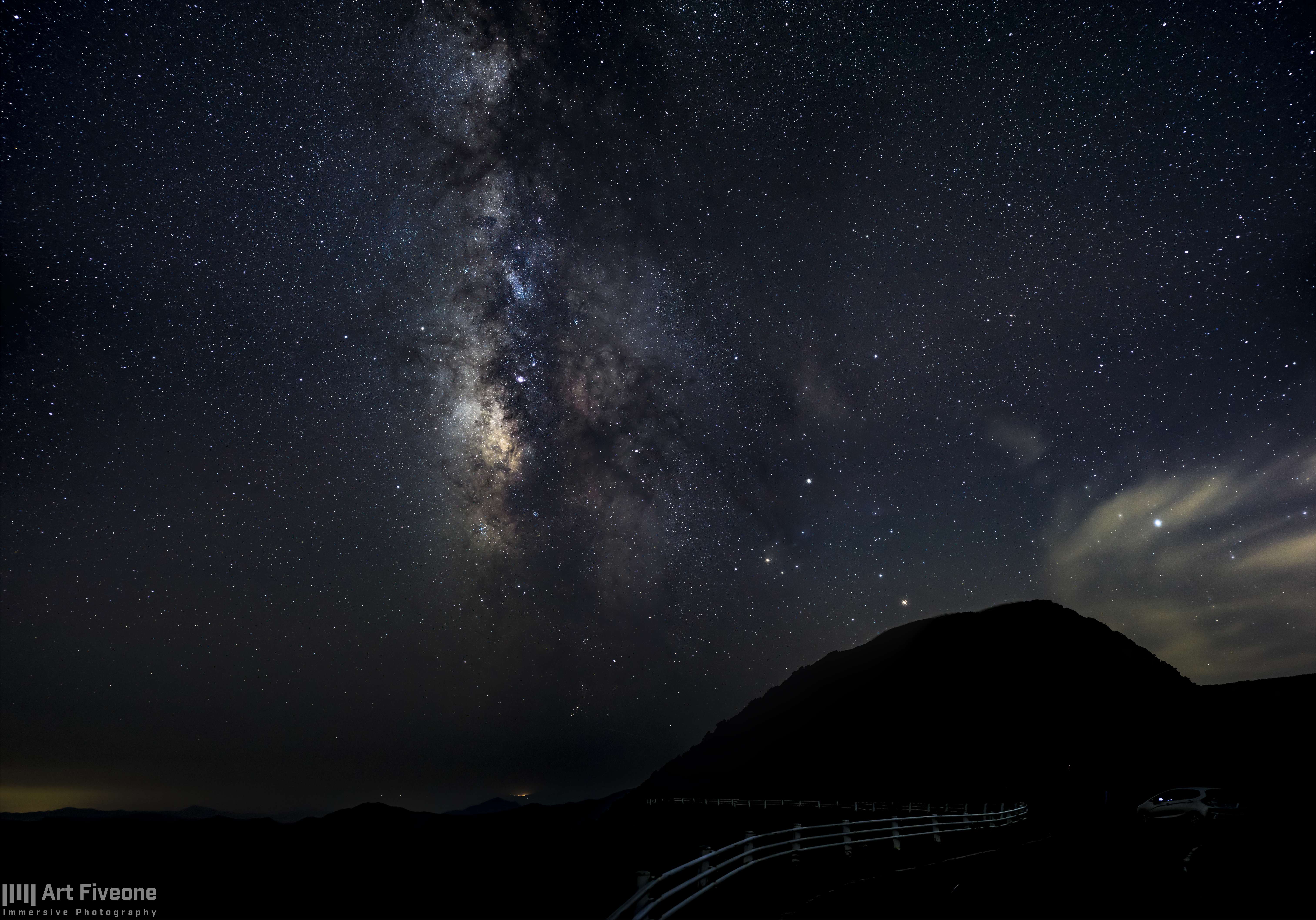
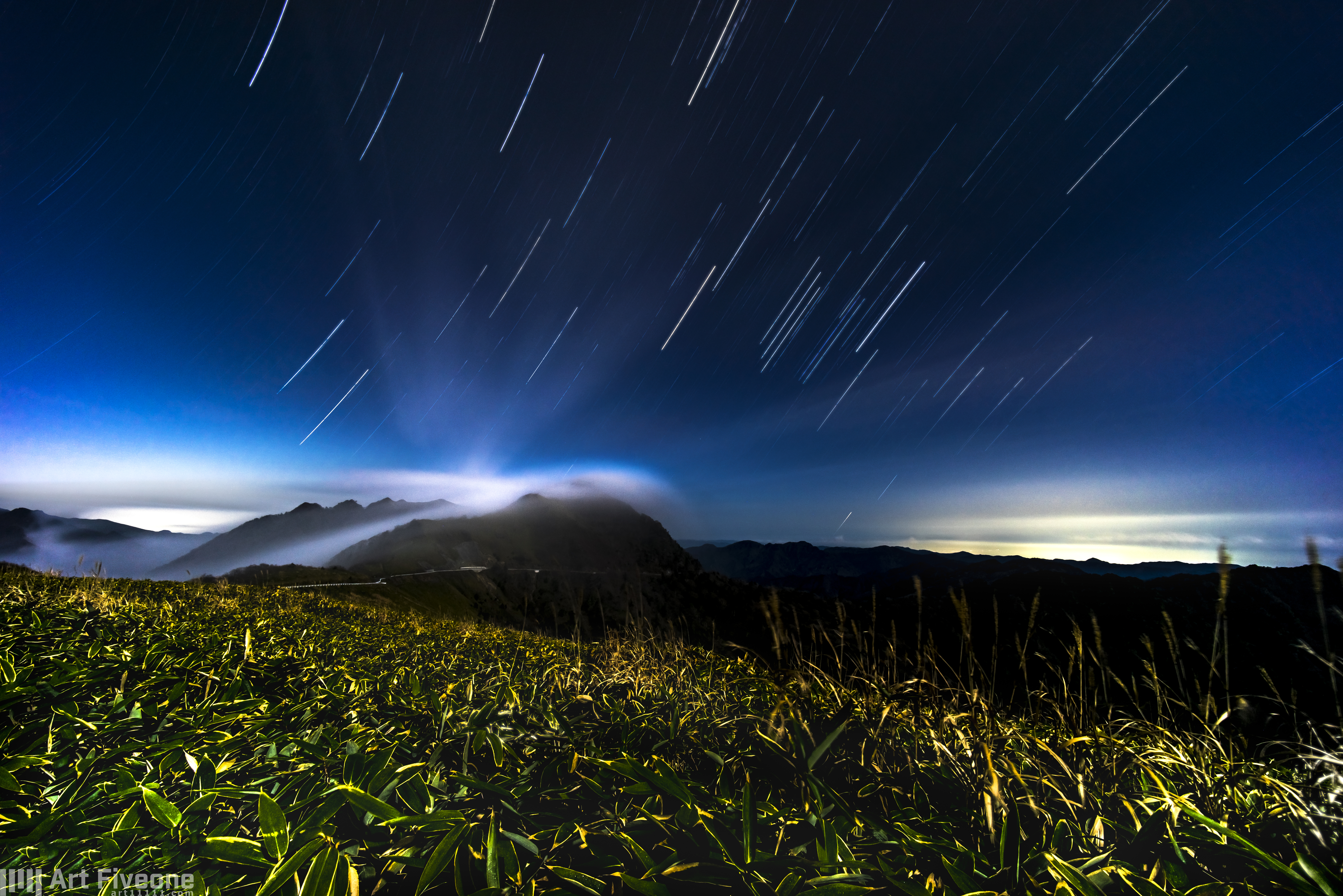
the Milky Way
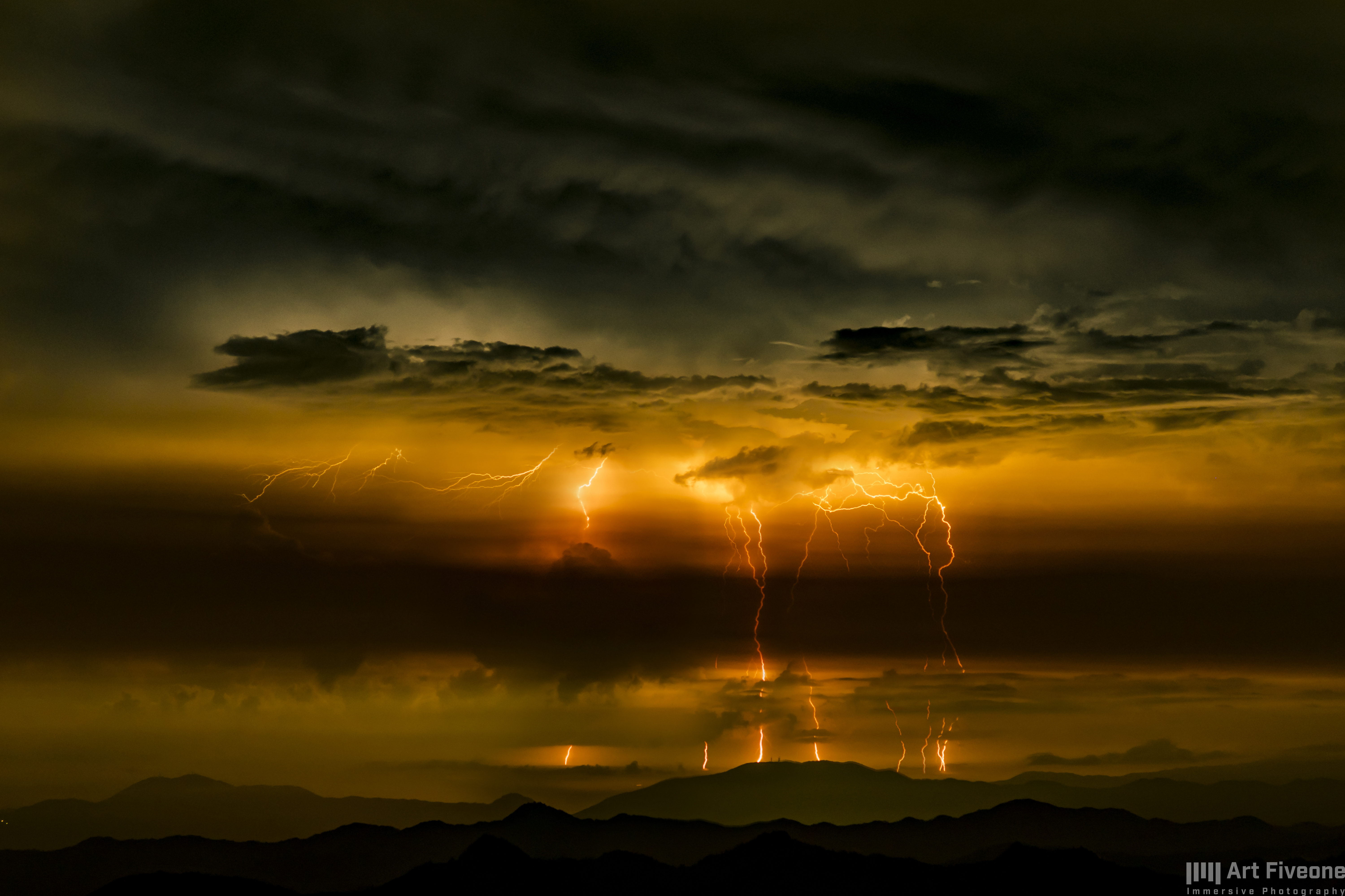
RAIJIN(雷神)
The Beloved Yoshinogawa

green, late summer

Nothing here!

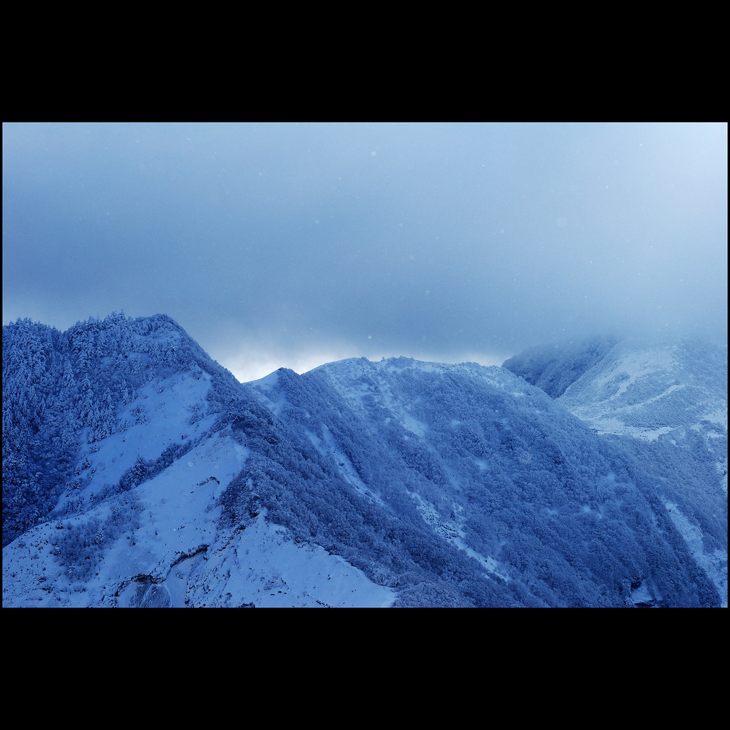
mountainous sunset
暮霭 · Sunset glow
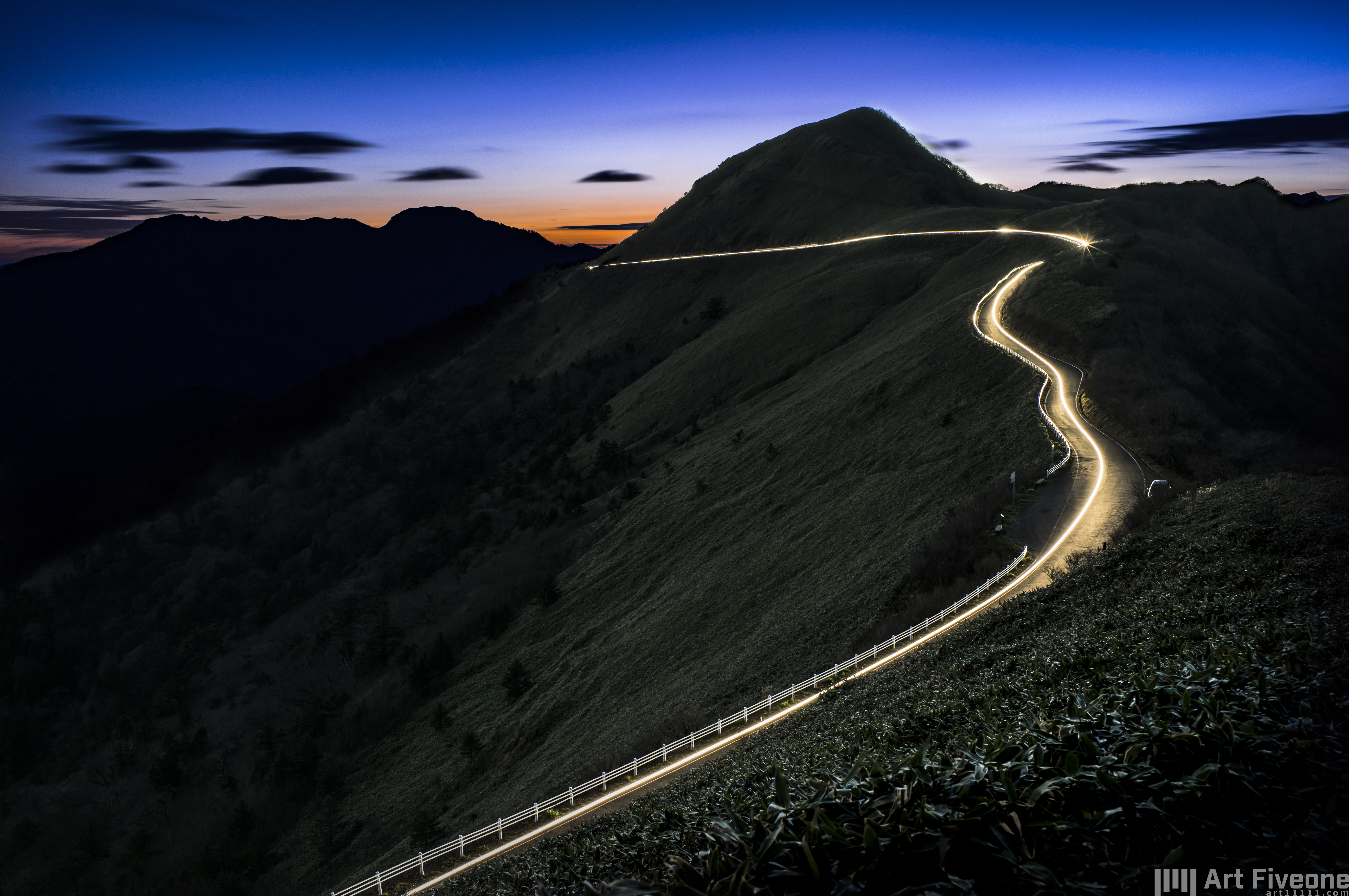
瓶ヶ森UFOライン #11
寂寞的声音 · the sound of silence
瓶ヶ森UFOライン #13
UFO LINE(KAMEGAMORI Forest Way)
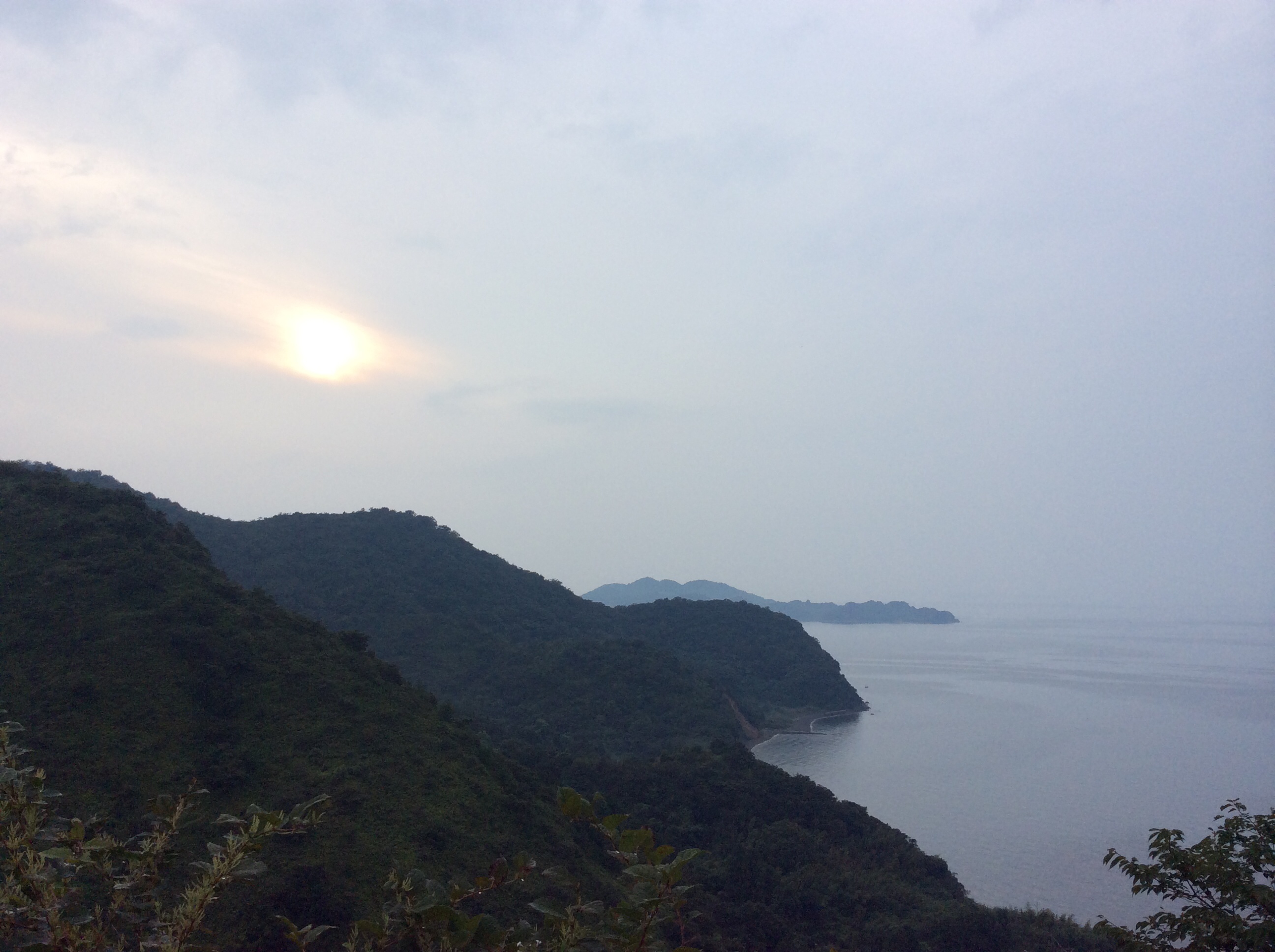
Sunset just west of Shikoku-chuou
2015-05-02 12.59.30
Kokuryo river

東平から新居浜を見る

貯鉱庫跡

瓶ヶ森UFOライン #16
Topographic Map of Tatsukawachō, Niihama-shi, Ehime-ken -, Japan
Find elevation by address:

Places near Tatsukawachō, Niihama-shi, Ehime-ken -, Japan:
Mt. Higashi-akaishi
Besshiyama
乙109
228 Besshiyama
Niihama
Fukutakekō, Saijō-shi, Ehime-ken -, Japan
88 Kawasaki, Ōkawa-mura, Tosa-gun, Kōchi-ken -, Japan
Saijo
37 Honmachi, Saijō-shi, Ehime-ken -, Japan
Okawa
Tosa District
Minagawa, Tosa-chō, Tosa-gun, Kōchi-ken -, Japan
Shuu, Saijō-shi, Ehime-ken -, Japan
83-1 Tanbarachō Kitatano, Saijō-shi, Ehime-ken -, Japan
4 Chome-6-55 Mishimamiyagawa
Shikokuchuo
四国中央市役所
-2 Kawanoechō, Shikokuchūō-shi, Ehime-ken -, Japan
Uoshima, Kamijima-chō, Ochi-gun, Ehime-ken -, Japan
Takaichi
Recent Searches:
- Elevation of Congressional Dr, Stevensville, MD, USA
- Elevation of Bellview Rd, McLean, VA, USA
- Elevation of Stage Island Rd, Chatham, MA, USA
- Elevation of Shibuya Scramble Crossing, 21 Udagawacho, Shibuya City, Tokyo -, Japan
- Elevation of Jadagoniai, Kaunas District Municipality, Lithuania
- Elevation of Pagonija rock, Kranto 7-oji g. 8"N, Kaunas, Lithuania
- Elevation of Co Rd 87, Jamestown, CO, USA
- Elevation of Tenjo, Cundinamarca, Colombia
- Elevation of Côte-des-Neiges, Montreal, QC H4A 3J6, Canada
- Elevation of Bobcat Dr, Helena, MT, USA