Elevation of Besshiyama, Niihama, Ehime Prefecture -, Japan
Location: Japan > Ehime Prefecture > Niihama >
Longitude: 133.378777
Latitude: 33.8471501
Elevation: 708m / 2323feet
Barometric Pressure: 93KPa
Elevation Map:
Satellite Map:
Related Photos:

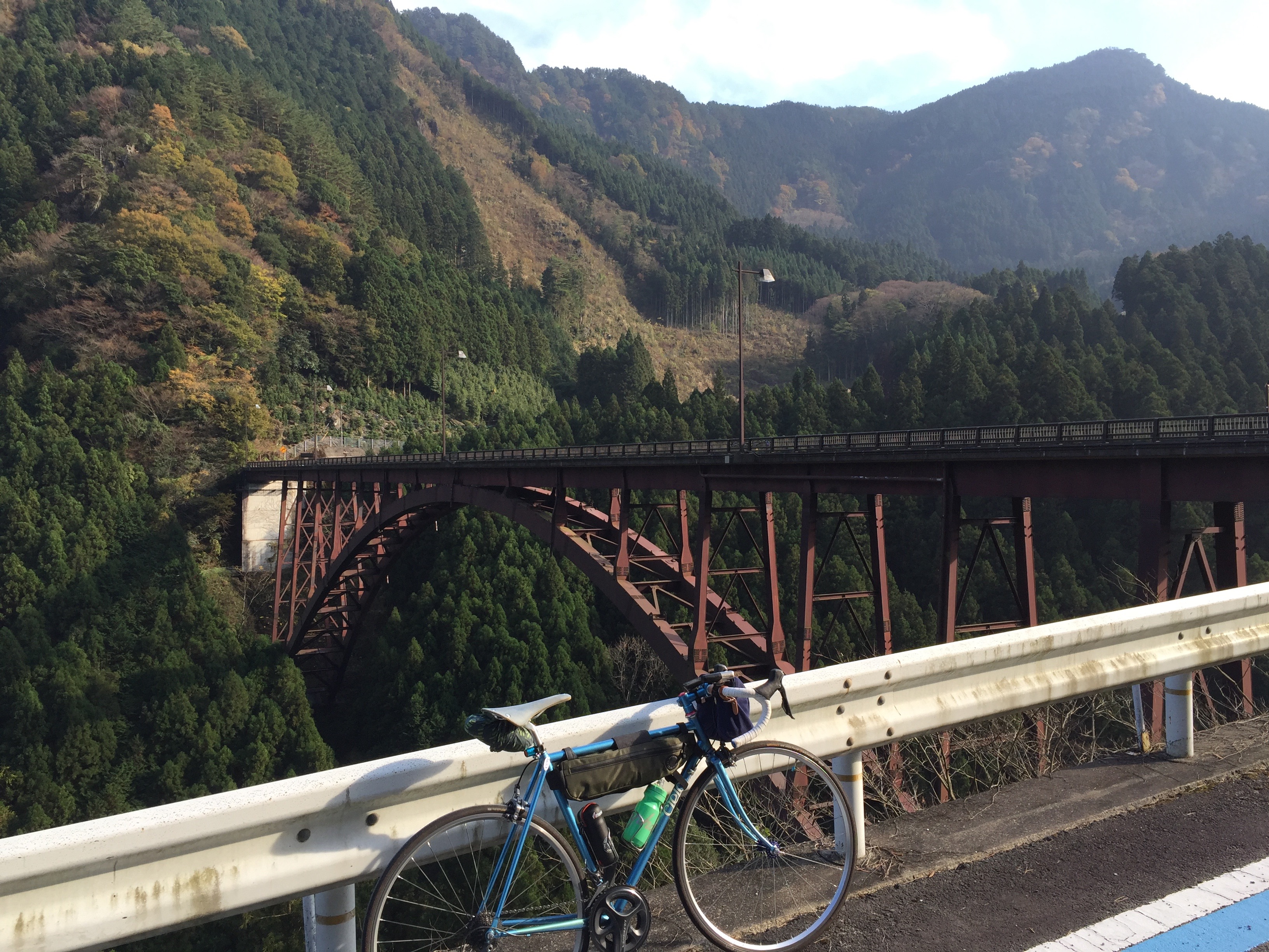
A Rider
光的轨迹 · Trails of light
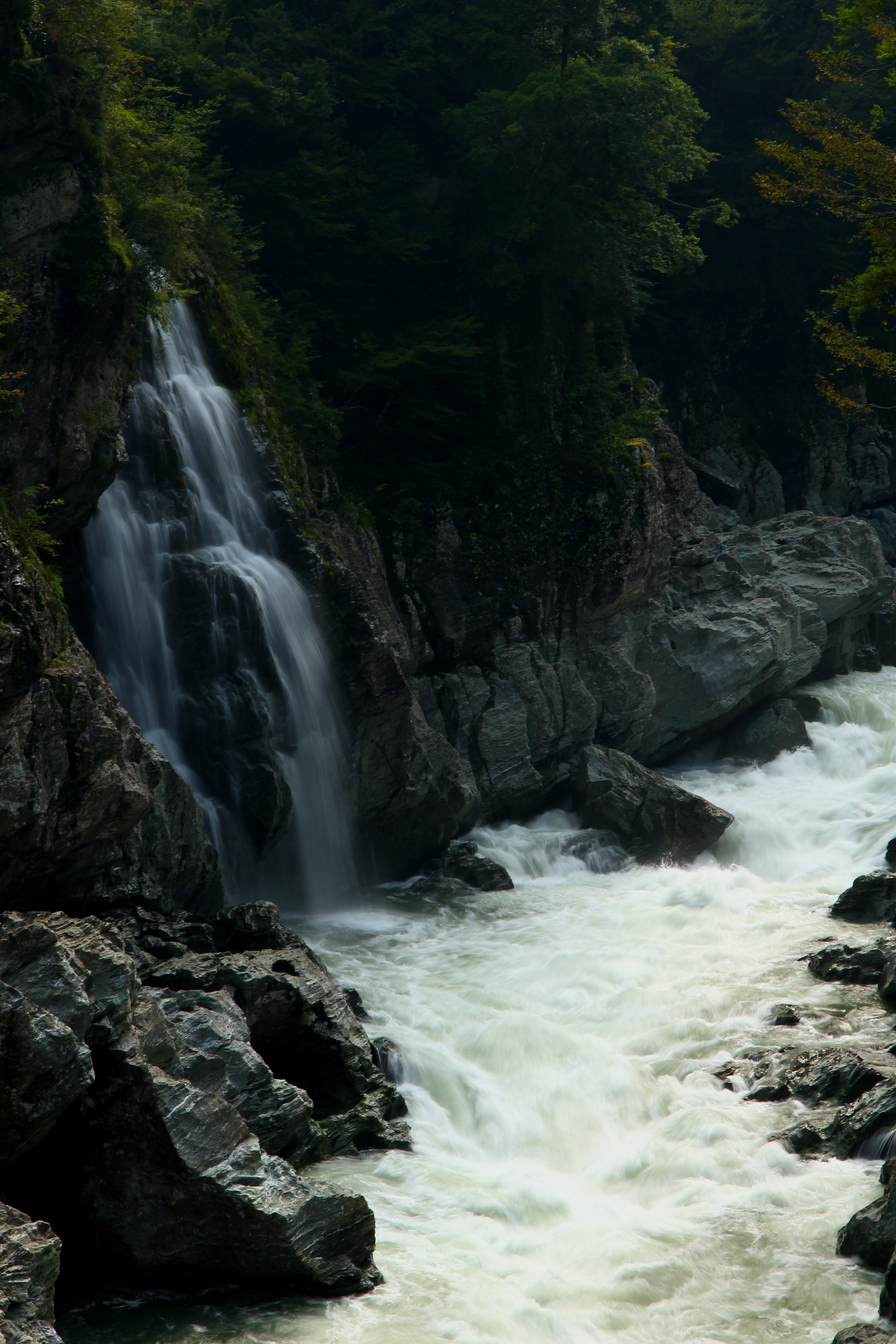
Amagaeri-No-Taki, stereo parallel view
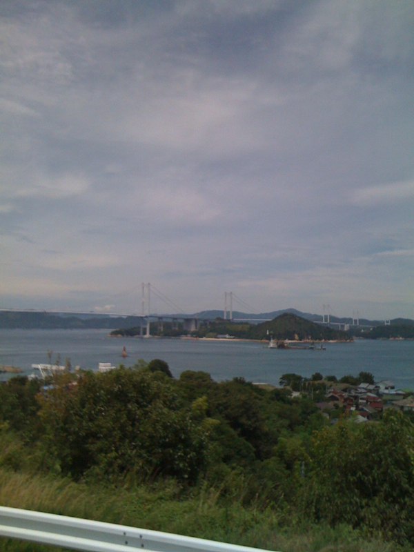
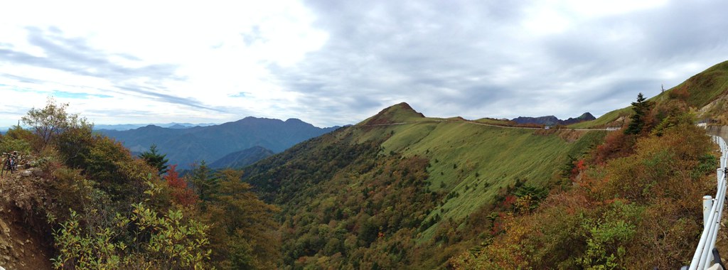
Niihama views
Niihama views

Beyond the Moonlight
Amagaeri-No-Taki, stereo cross view
新世界 · Another world - 4
Setogwa-Keikoku, stereo cross view
Setogwa-Keikoku, stereo parallel view
暮霭 · Sunset glow
寂寞的声音 · the sound of silence
IMG_4211.JPG
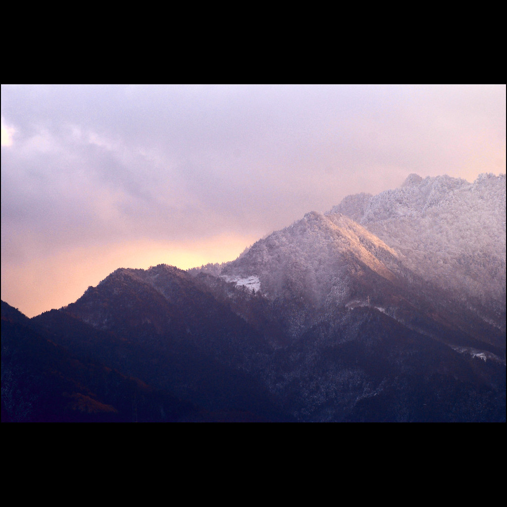
Sunset just west of Shikoku-chuou
IMG_4215.JPG

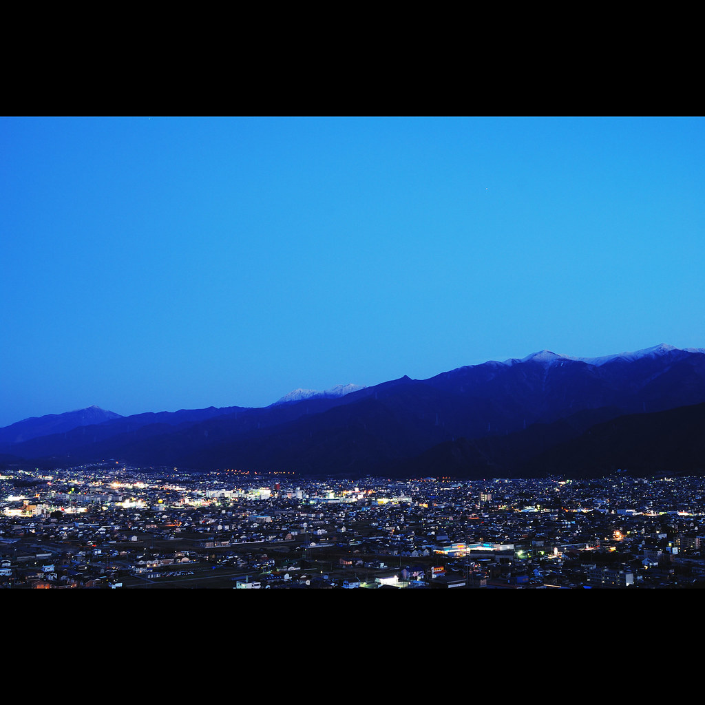
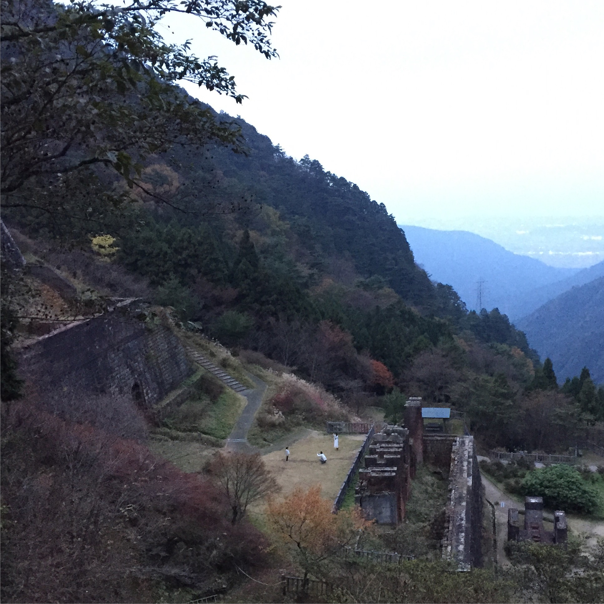
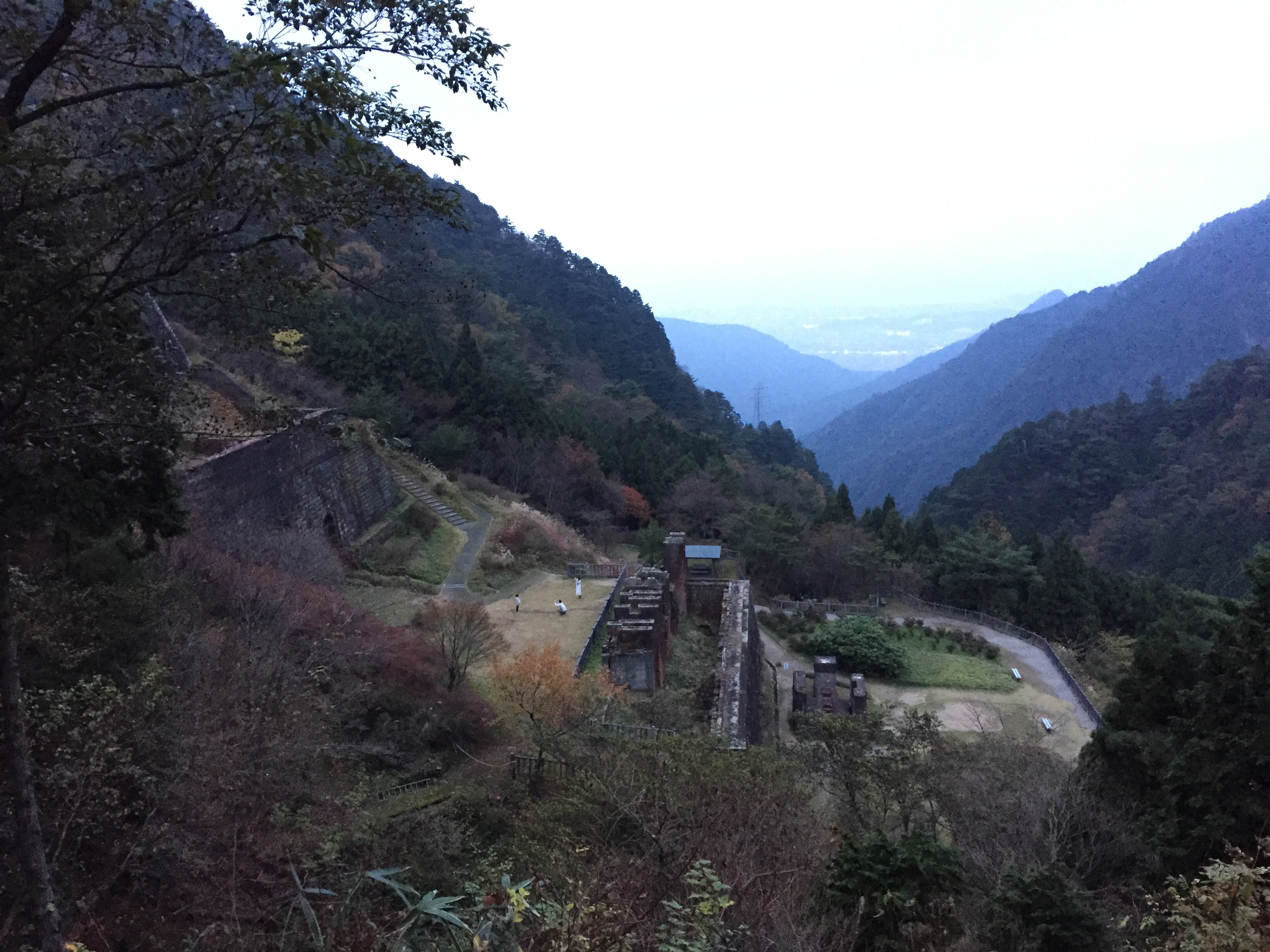
東平から新居浜を見る

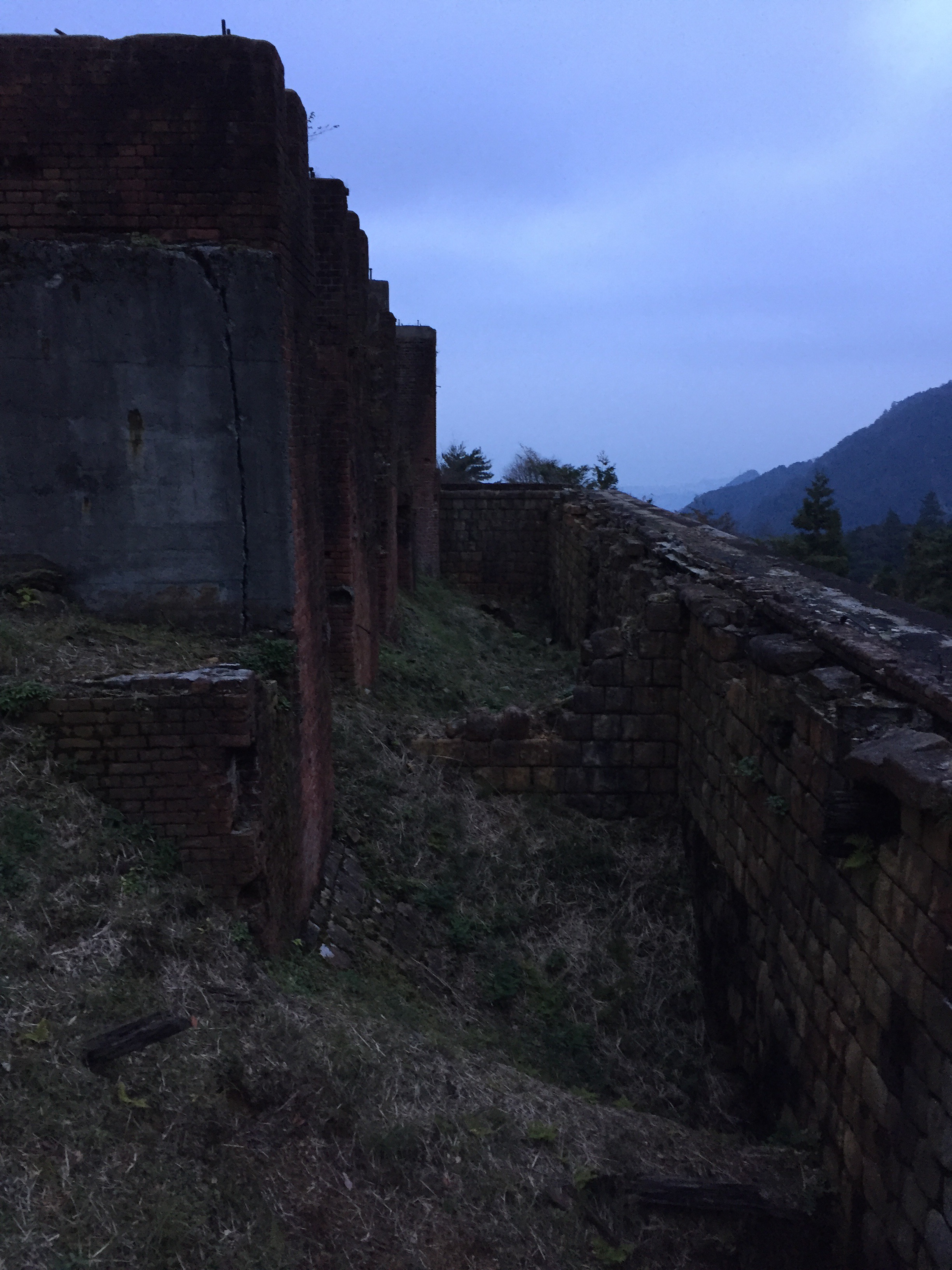
貯鉱庫跡
Shinden, , Japan
IMG_4214.JPG
IMG_4206.JPG
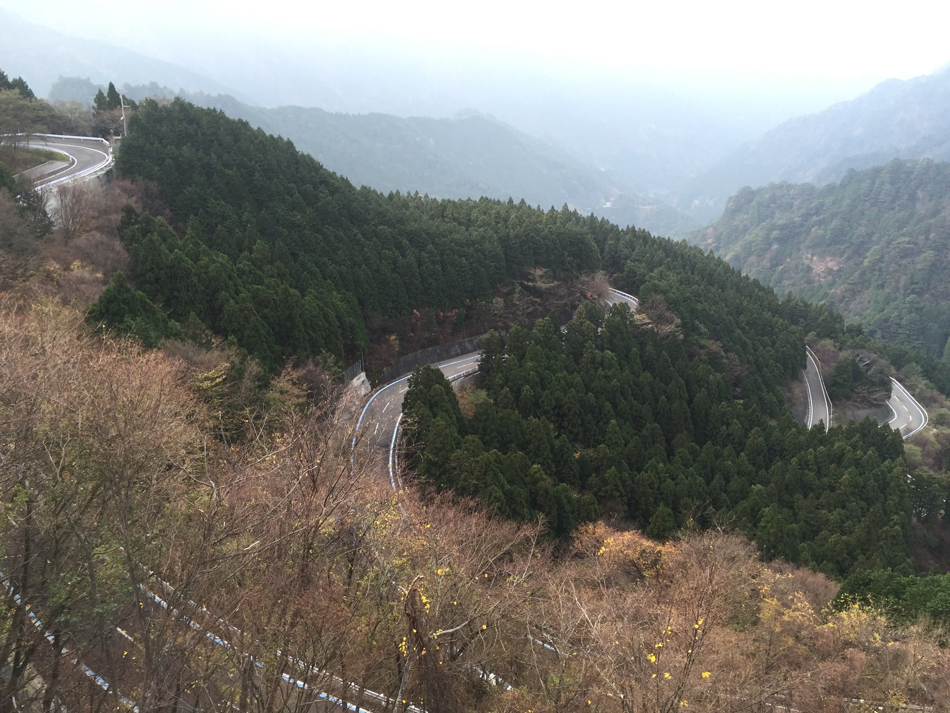
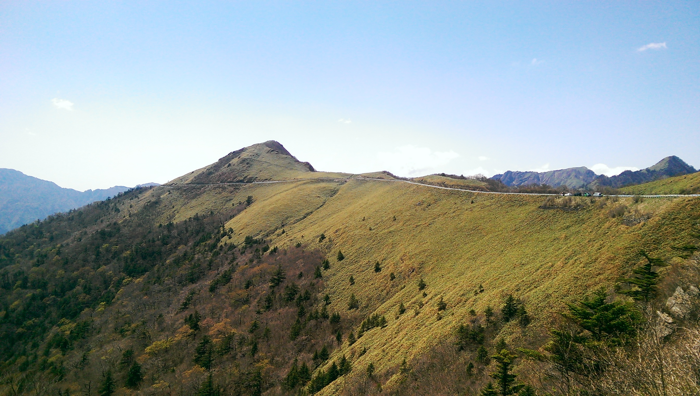
瓶ヶ森UFOライン #11
The Beloved Yoshinogawa
IMG_4194.JPG
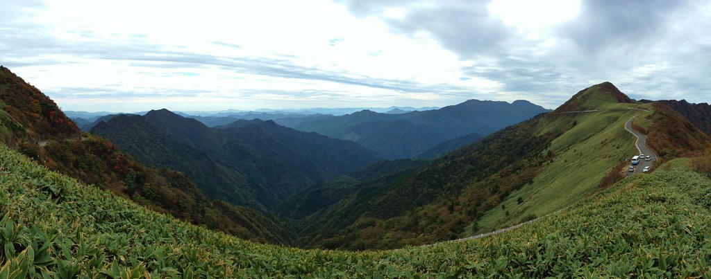
瓶ヶ森UFOライン #13
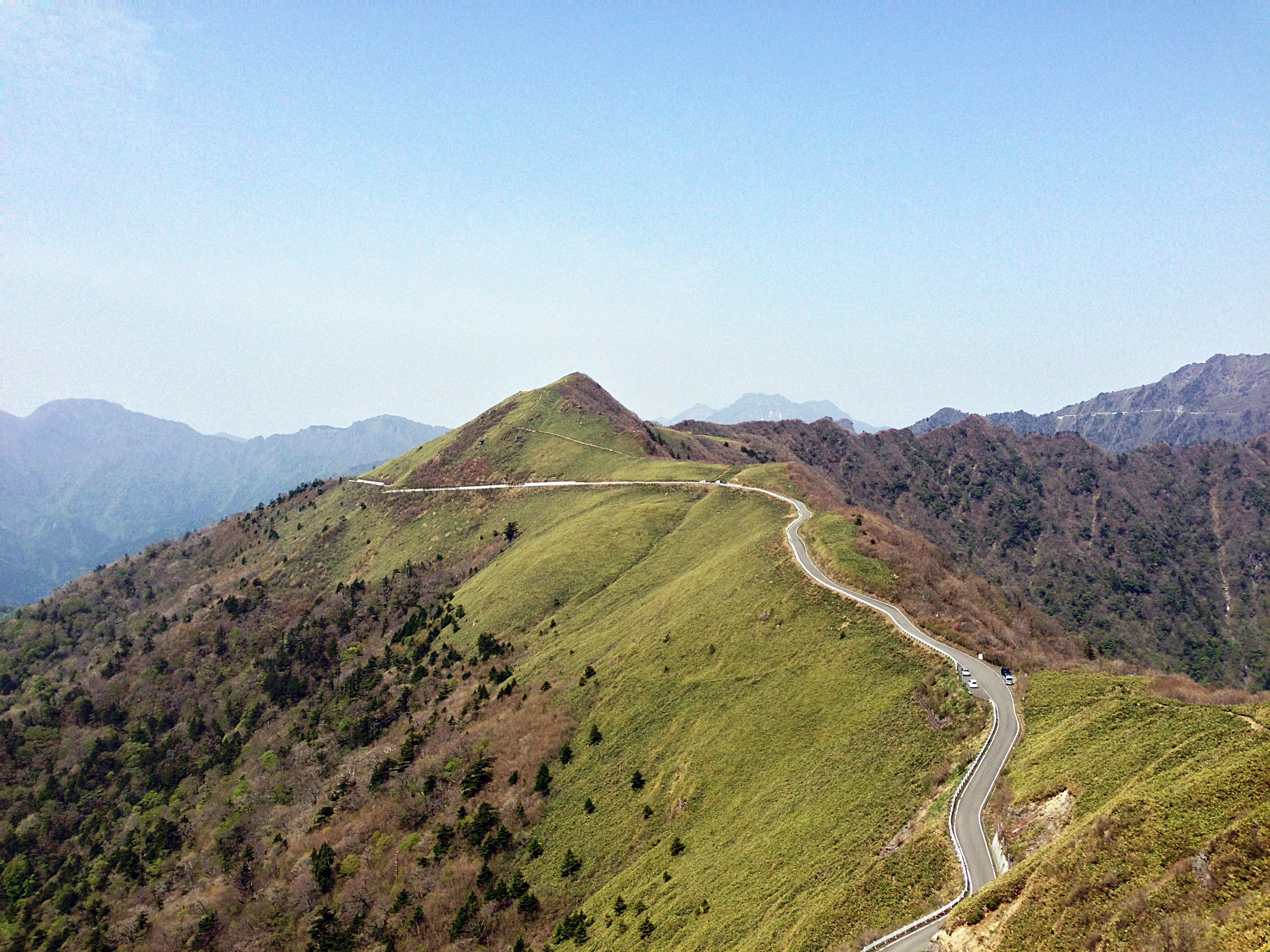
UFO LINE(KAMEGAMORI Forest Way)
2015-05-02 12.59.30
Topographic Map of Besshiyama, Niihama, Ehime Prefecture -, Japan
Find elevation by address:

Places near Besshiyama, Niihama, Ehime Prefecture -, Japan:
228 Besshiyama
Mt. Higashi-akaishi
88 Kawasaki, Ōkawa-mura, Tosa-gun, Kōchi-ken -, Japan
Tatsukawachō, Niihama-shi, Ehime-ken -, Japan
Okawa
Tosa District
乙109
Minagawa, Tosa-chō, Tosa-gun, Kōchi-ken -, Japan
Niihama
Fukutakekō, Saijō-shi, Ehime-ken -, Japan
Saijo
37 Honmachi, Saijō-shi, Ehime-ken -, Japan
4 Chome-6-55 Mishimamiyagawa
Shikokuchuo
四国中央市役所
-2 Kawanoechō, Shikokuchūō-shi, Ehime-ken -, Japan
Shuu, Saijō-shi, Ehime-ken -, Japan
83-1 Tanbarachō Kitatano, Saijō-shi, Ehime-ken -, Japan
Uoshima, Kamijima-chō, Ochi-gun, Ehime-ken -, Japan
Takaichi
Recent Searches:
- Elevation of Corso Fratelli Cairoli, 35, Macerata MC, Italy
- Elevation of Tallevast Rd, Sarasota, FL, USA
- Elevation of 4th St E, Sonoma, CA, USA
- Elevation of Black Hollow Rd, Pennsdale, PA, USA
- Elevation of Oakland Ave, Williamsport, PA, USA
- Elevation of Pedrógão Grande, Portugal
- Elevation of Klee Dr, Martinsburg, WV, USA
- Elevation of Via Roma, Pieranica CR, Italy
- Elevation of Tavkvetili Mountain, Georgia
- Elevation of Hartfords Bluff Cir, Mt Pleasant, SC, USA