Elevation of -2 Kawanoechō, Shikokuchūō-shi, Ehime-ken -, Japan
Location: Japan > Ehime Prefecture > Shikokuchuo >
Longitude: 133.567820
Latitude: 34.0170251
Elevation: 4m / 13feet
Barometric Pressure: 101KPa
Elevation Map:
Satellite Map:
Related Photos:
View of "SignsScript" - Tuesday, 18 October 2016 - 17:03 GMT+0900
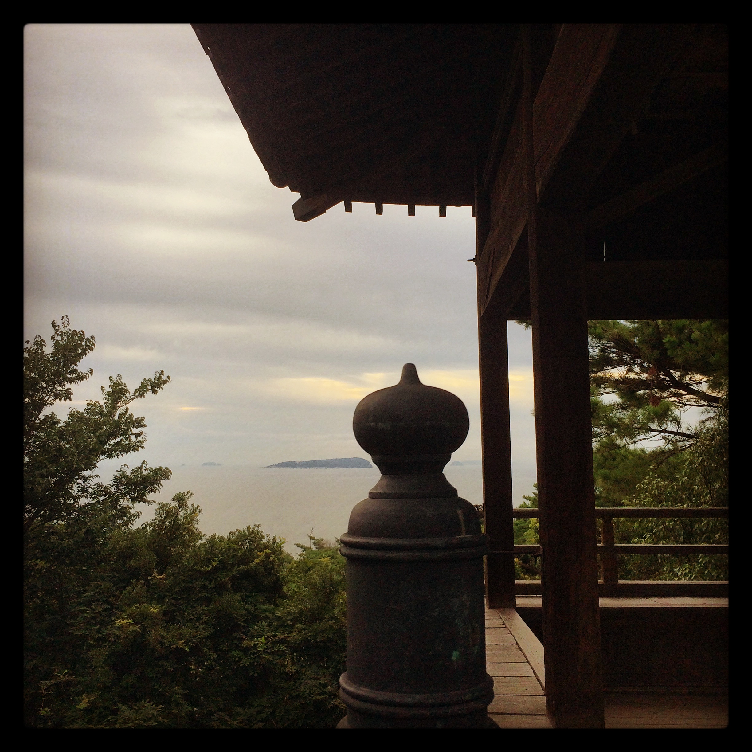
Kanonji Sea View
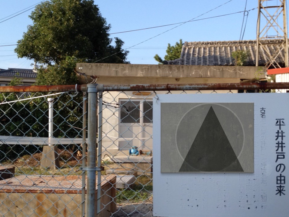
View of "3L3M3NTS" - Tuesday, 18 October 2016 - 15:55 GMT+0900
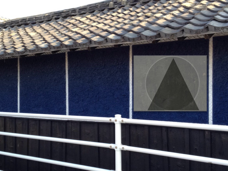
View of "3L3M3NTS" - Tuesday, 18 October 2016 - 15:54 GMT+0900

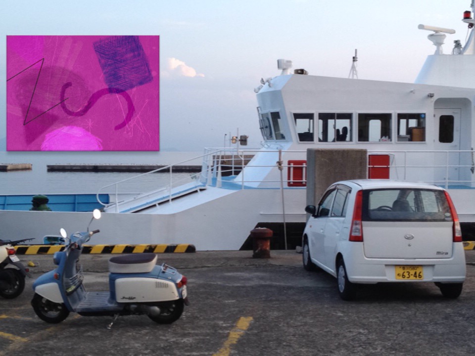
View of "SignsScript" - Tuesday, 18 October 2016 - 15:42 GMT+0900

View of "Motivation Style" - Tuesday, 18 October 2016 - 15:25 GMT+0900
View of "Motivation Style" - Tuesday, 18 October 2016 - 15:22 GMT+0900
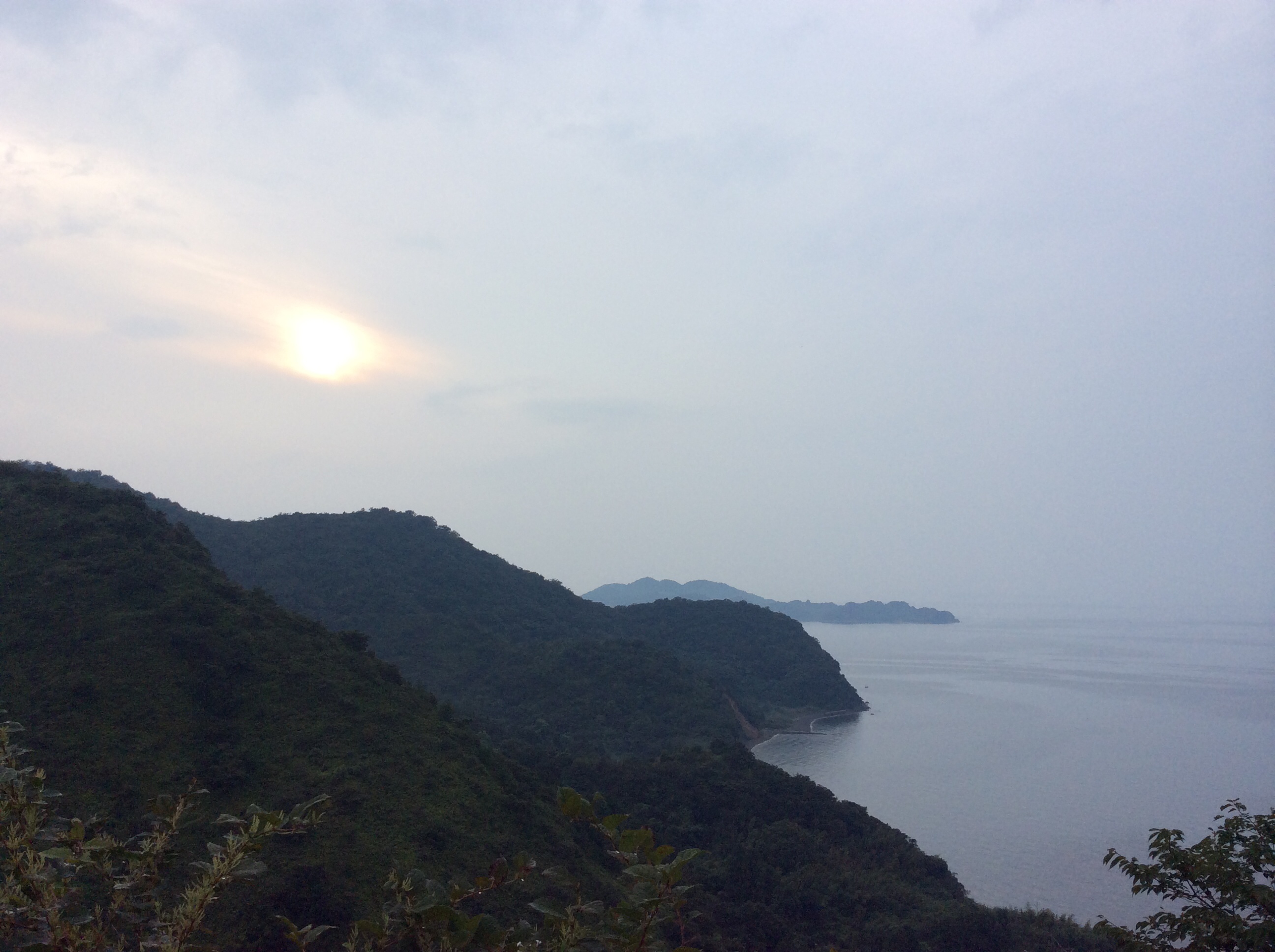
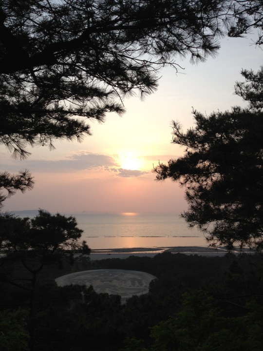
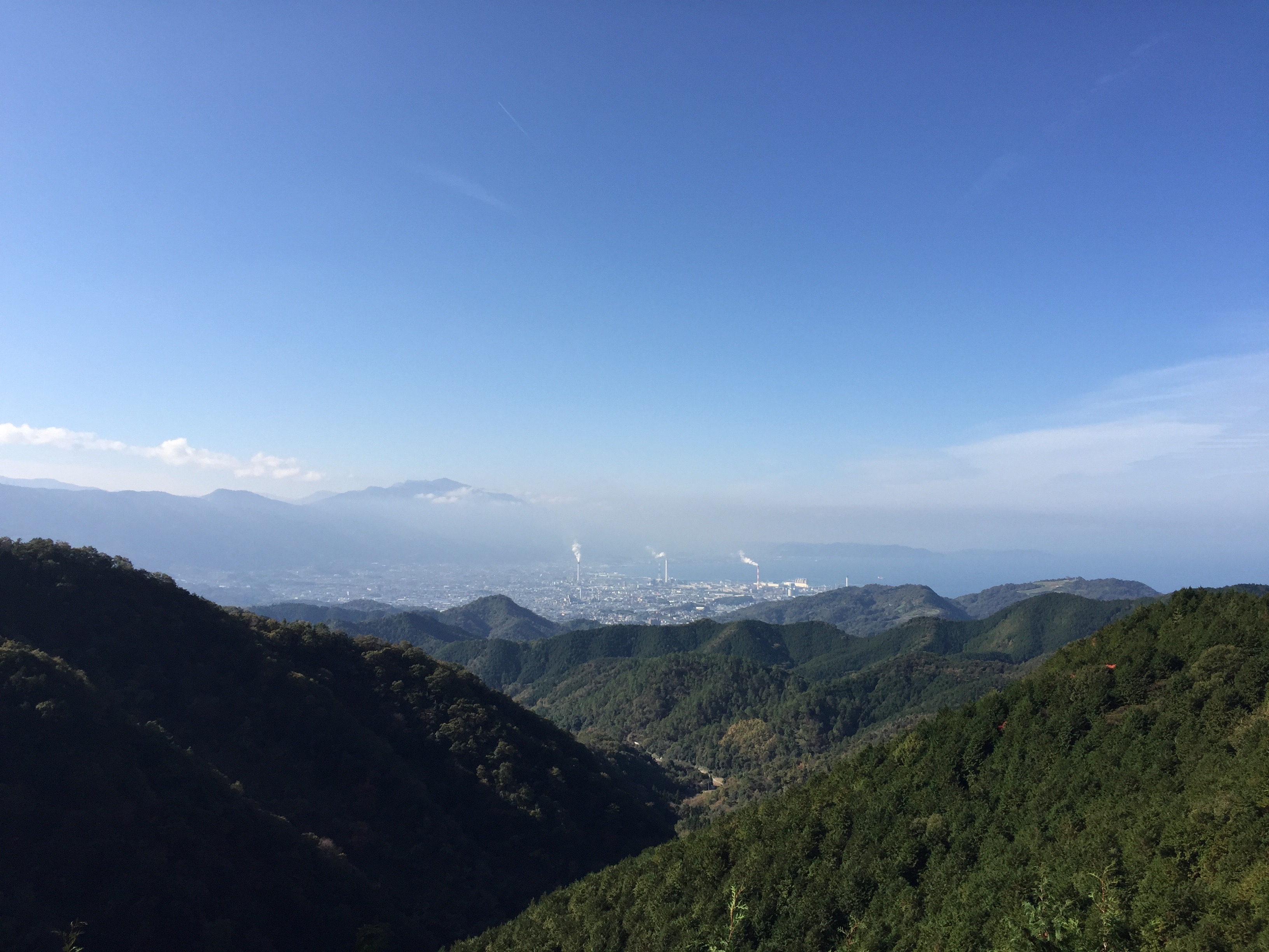
Sunset just west of Shikoku-chuou
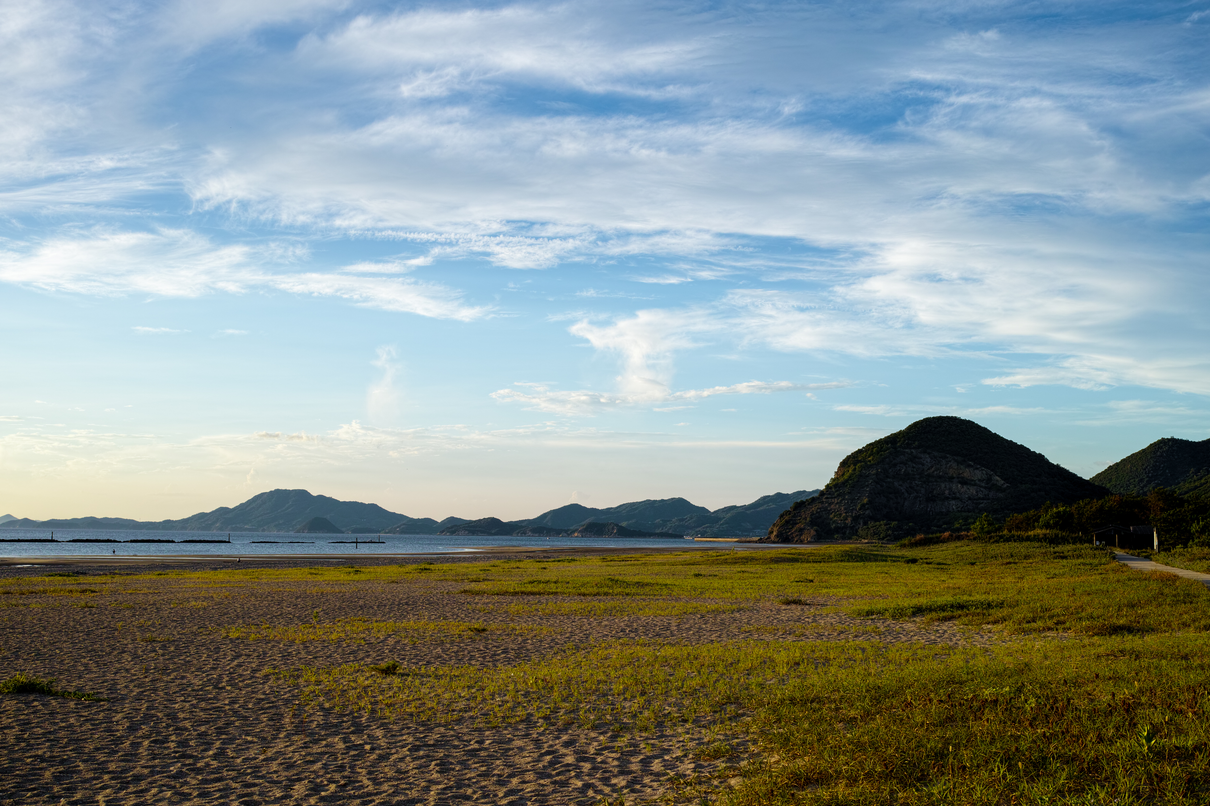
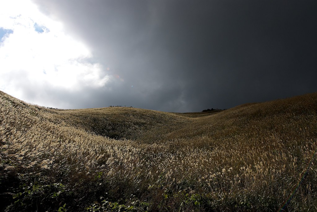
The mountain of Shikoku / 四国の山々
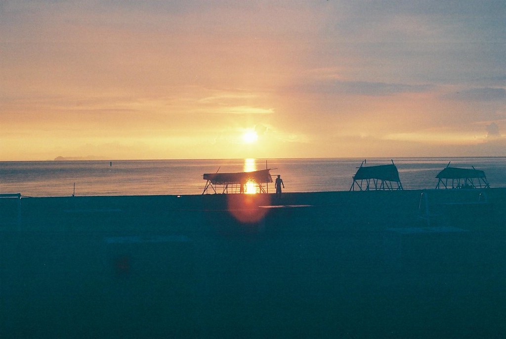
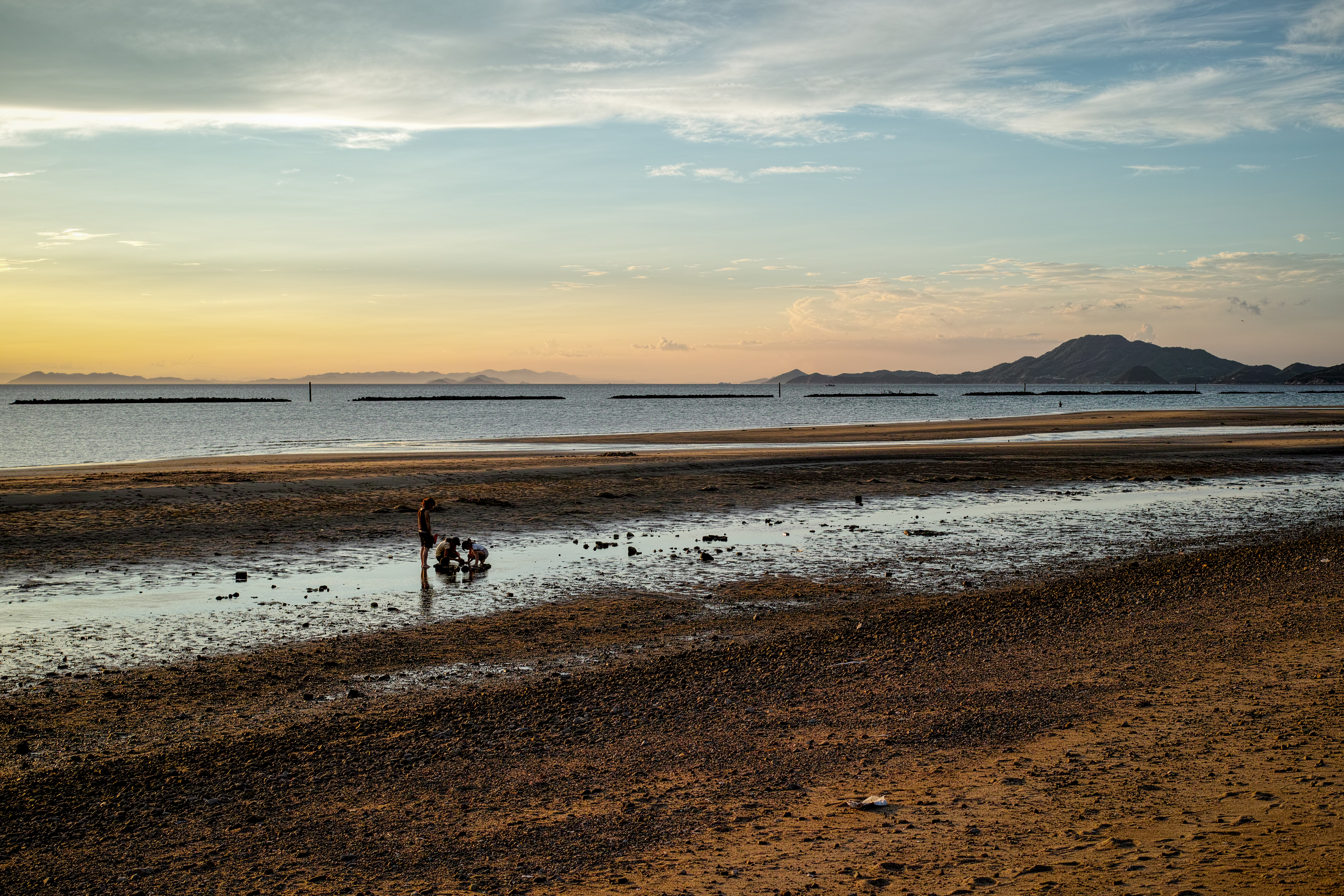
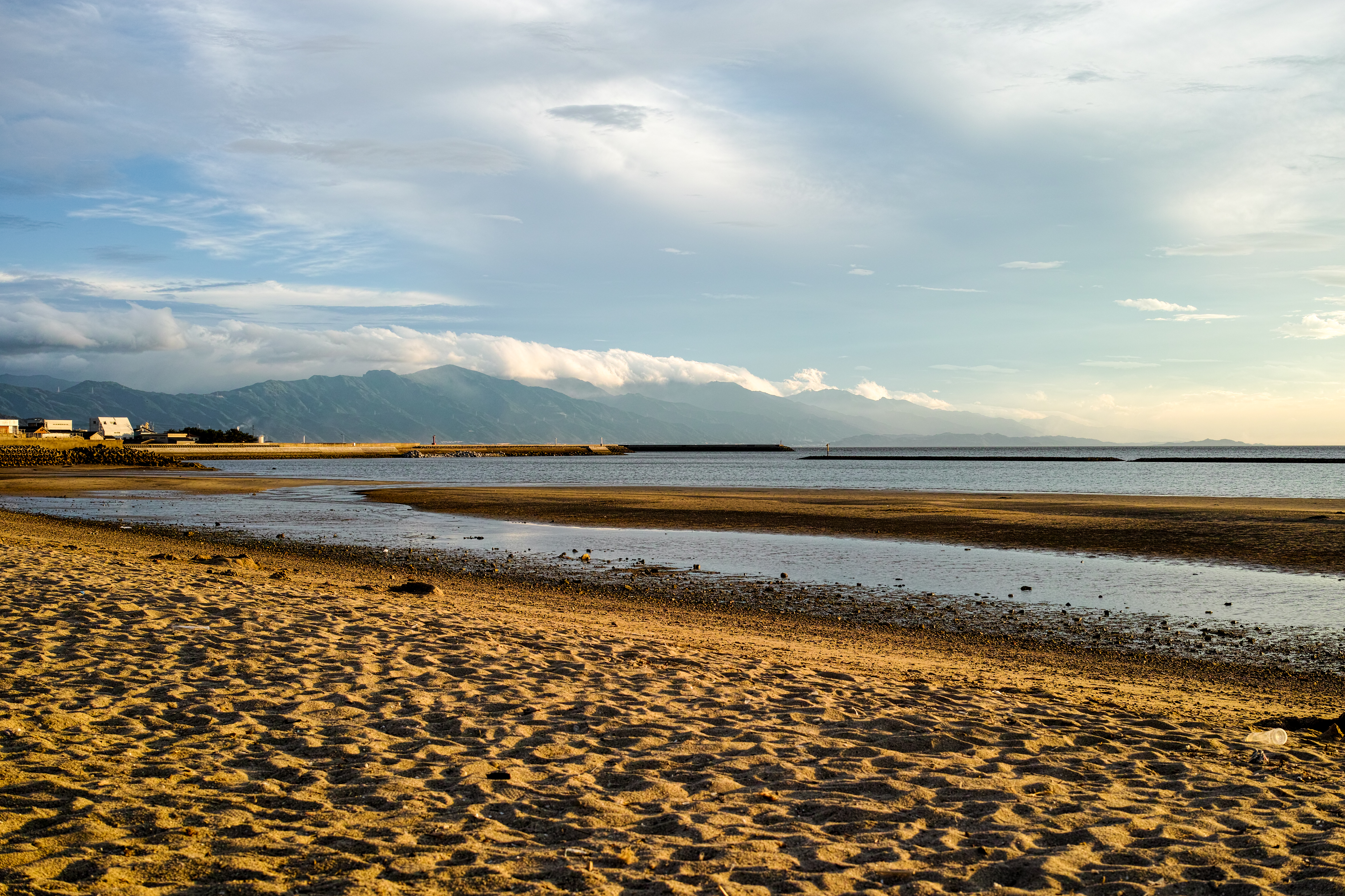
The setting sun of the Ariake beach
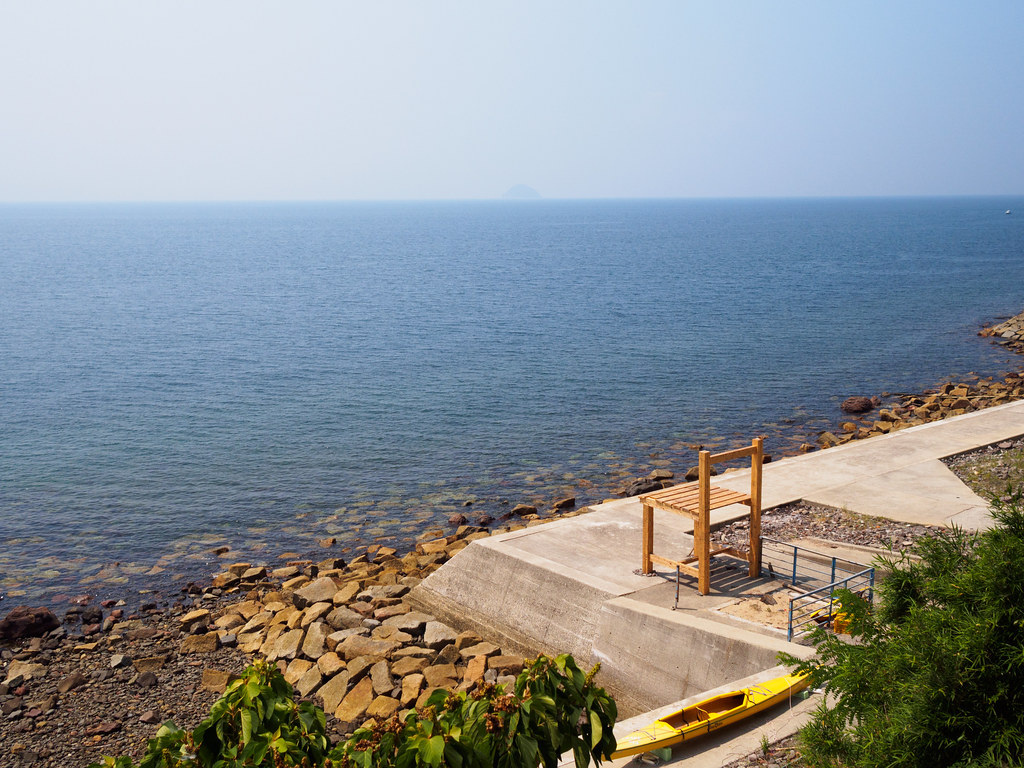
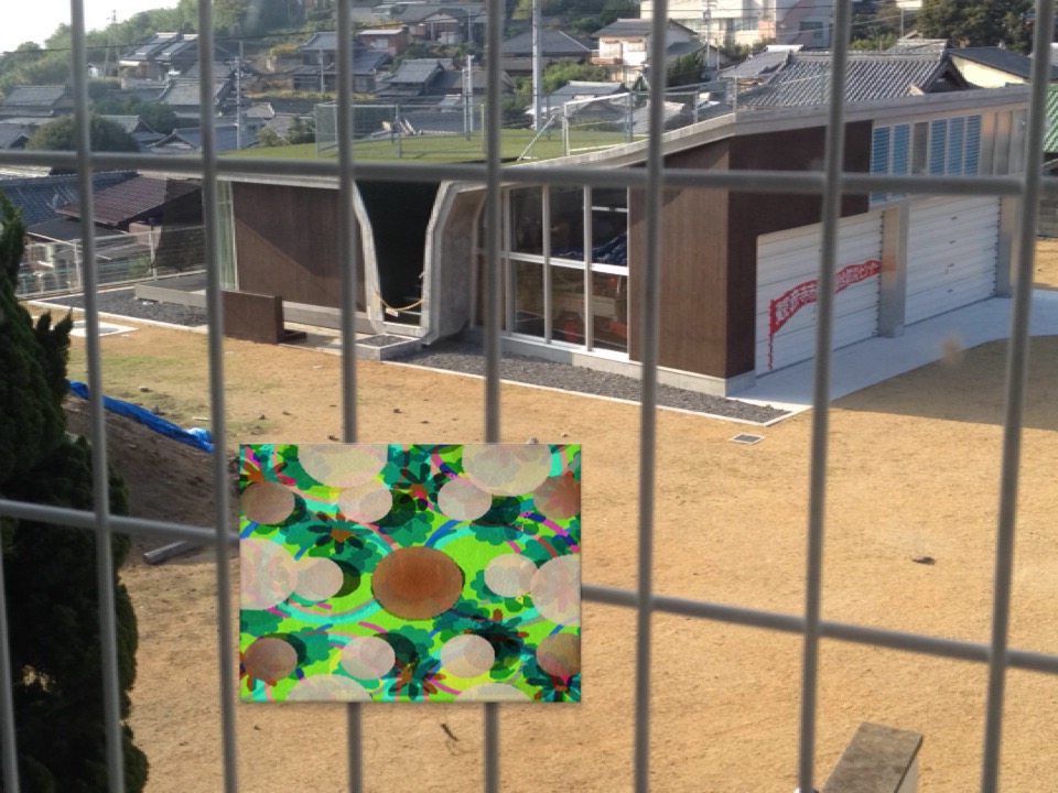
a chair for a giant
銭形の展望台
P8150194.jpg
20120502-143014-flickr

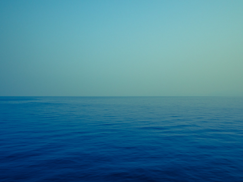
海 4
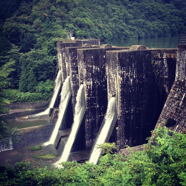
豊稔池ダム

P8150494.jpg
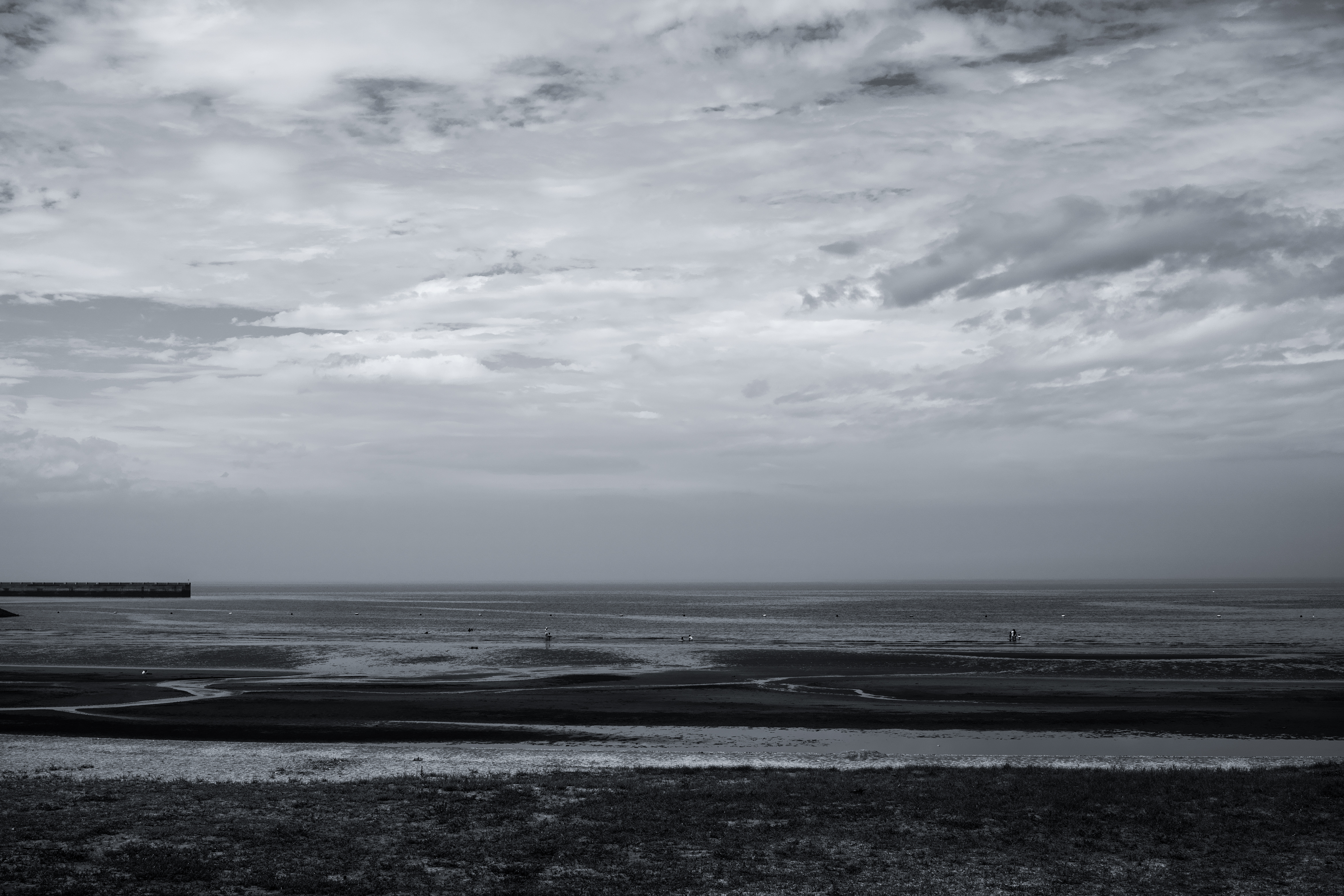
海
海 1

20120502-112917-flickr

日が沈む〜
海 7
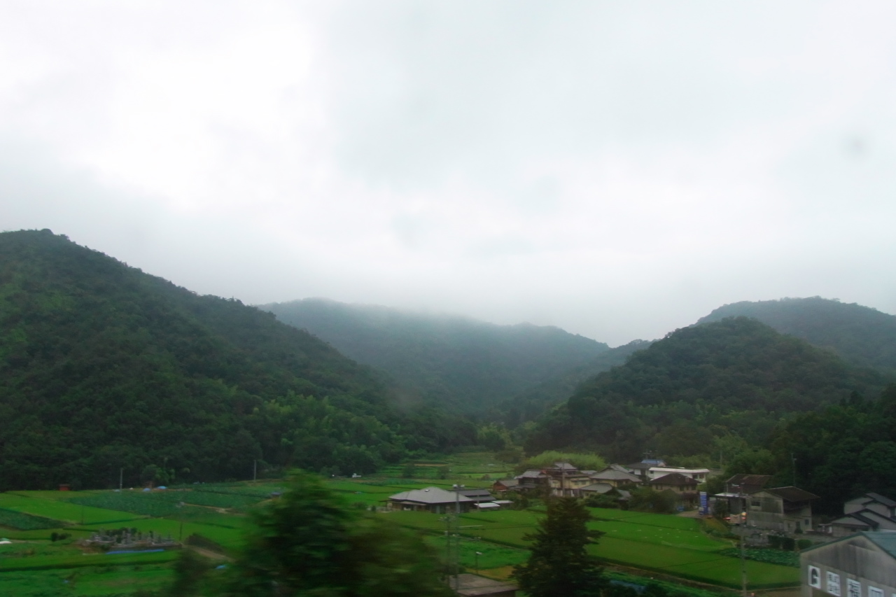
Shiozuka Kogen
IMG_4162.JPG
海 3
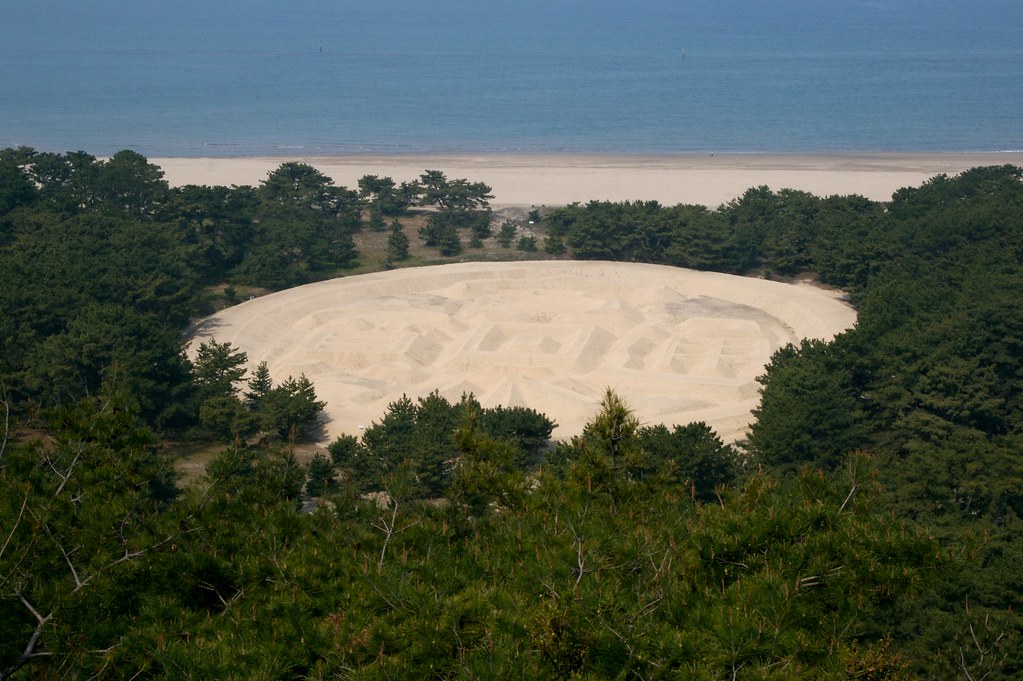
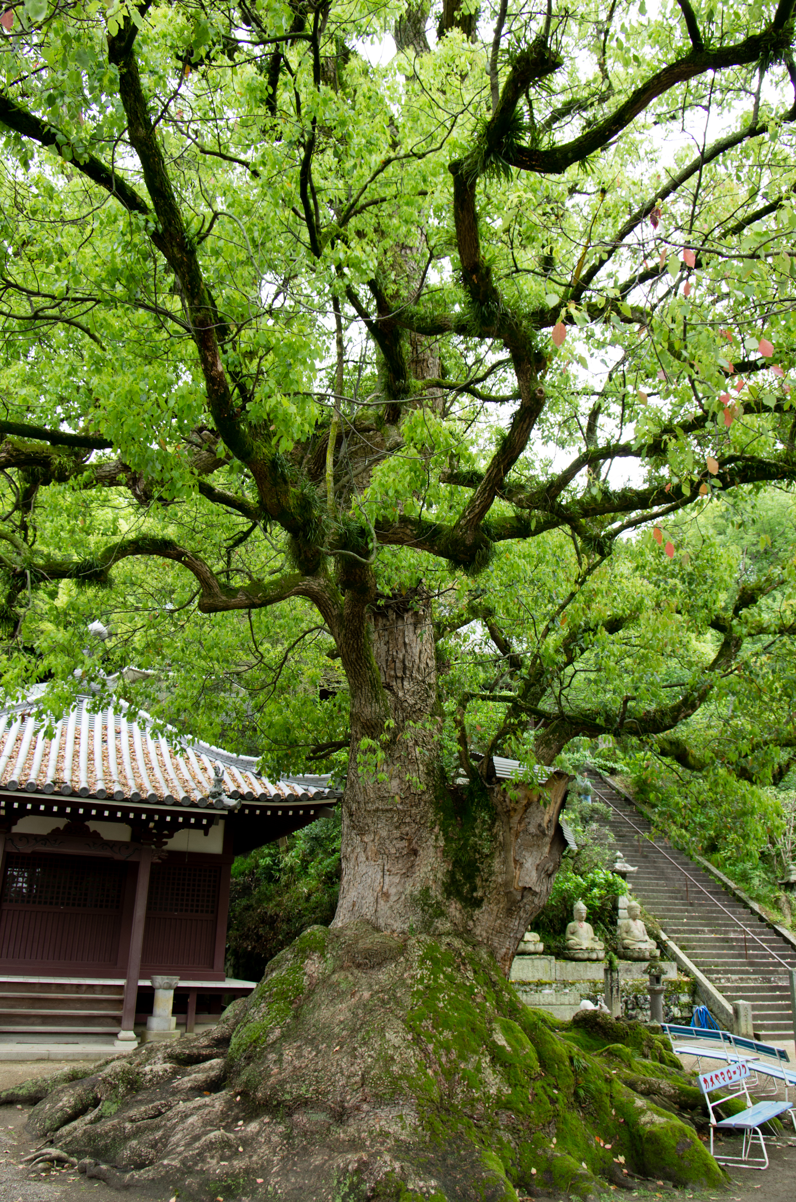
琴弾公園
Kotohiki Park 琴弾公園
Shiozuka Kogen
Topographic Map of -2 Kawanoechō, Shikokuchūō-shi, Ehime-ken -, Japan
Find elevation by address:

Places near -2 Kawanoechō, Shikokuchūō-shi, Ehime-ken -, Japan:
四国中央市役所
Shikokuchuo
4 Chome-6-55 Mishimamiyagawa
Mt. Higashi-akaishi
228 Besshiyama
Okawa
Besshiyama
乙109
Tosa District
88 Kawasaki, Ōkawa-mura, Tosa-gun, Kōchi-ken -, Japan
Minagawa, Tosa-chō, Tosa-gun, Kōchi-ken -, Japan
Niihama
Tatsukawachō, Niihama-shi, Ehime-ken -, Japan
Uoshima, Kamijima-chō, Ochi-gun, Ehime-ken -, Japan
Hishima, Kasaoka-shi, Okayama-ken -, Japan
Fukutakekō, Saijō-shi, Ehime-ken -, Japan
37 Honmachi, Saijō-shi, Ehime-ken -, Japan
Saijo
Tomochōtomo, Fukuyama-shi, Hiroshima-ken -, Japan
Kamijima
Recent Searches:
- Elevation of Congressional Dr, Stevensville, MD, USA
- Elevation of Bellview Rd, McLean, VA, USA
- Elevation of Stage Island Rd, Chatham, MA, USA
- Elevation of Shibuya Scramble Crossing, 21 Udagawacho, Shibuya City, Tokyo -, Japan
- Elevation of Jadagoniai, Kaunas District Municipality, Lithuania
- Elevation of Pagonija rock, Kranto 7-oji g. 8"N, Kaunas, Lithuania
- Elevation of Co Rd 87, Jamestown, CO, USA
- Elevation of Tenjo, Cundinamarca, Colombia
- Elevation of Côte-des-Neiges, Montreal, QC H4A 3J6, Canada
- Elevation of Bobcat Dr, Helena, MT, USA