Elevation of Tashiro, Samani-chō, Samani-gun, Hokkaidō -, Japan
Location: Japan > Hokkaido Prefecture > Samani District > Samani >
Longitude: 142.971051
Latitude: 42.1761959
Elevation: 50m / 164feet
Barometric Pressure: 101KPa
Elevation Map:
Satellite Map:
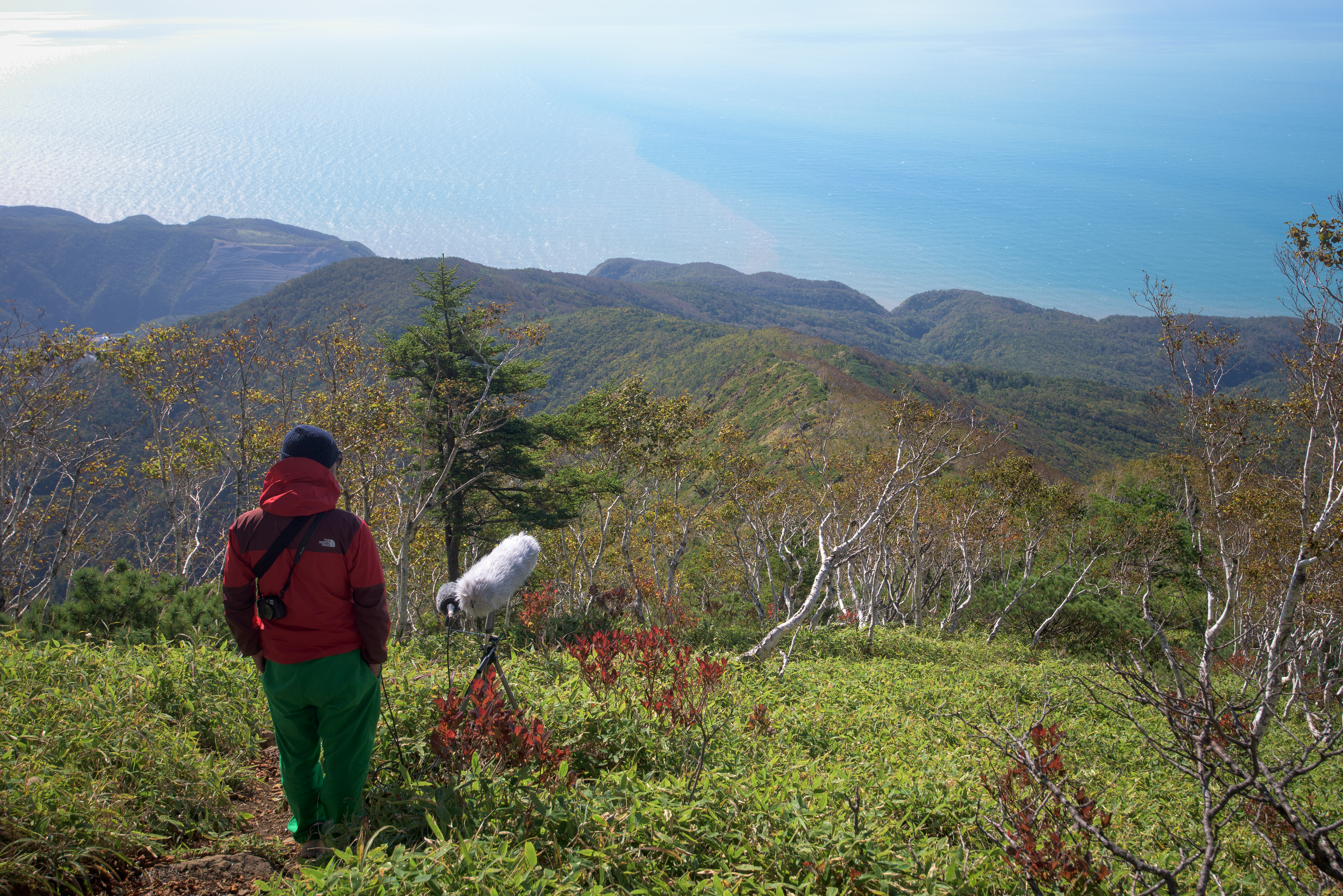
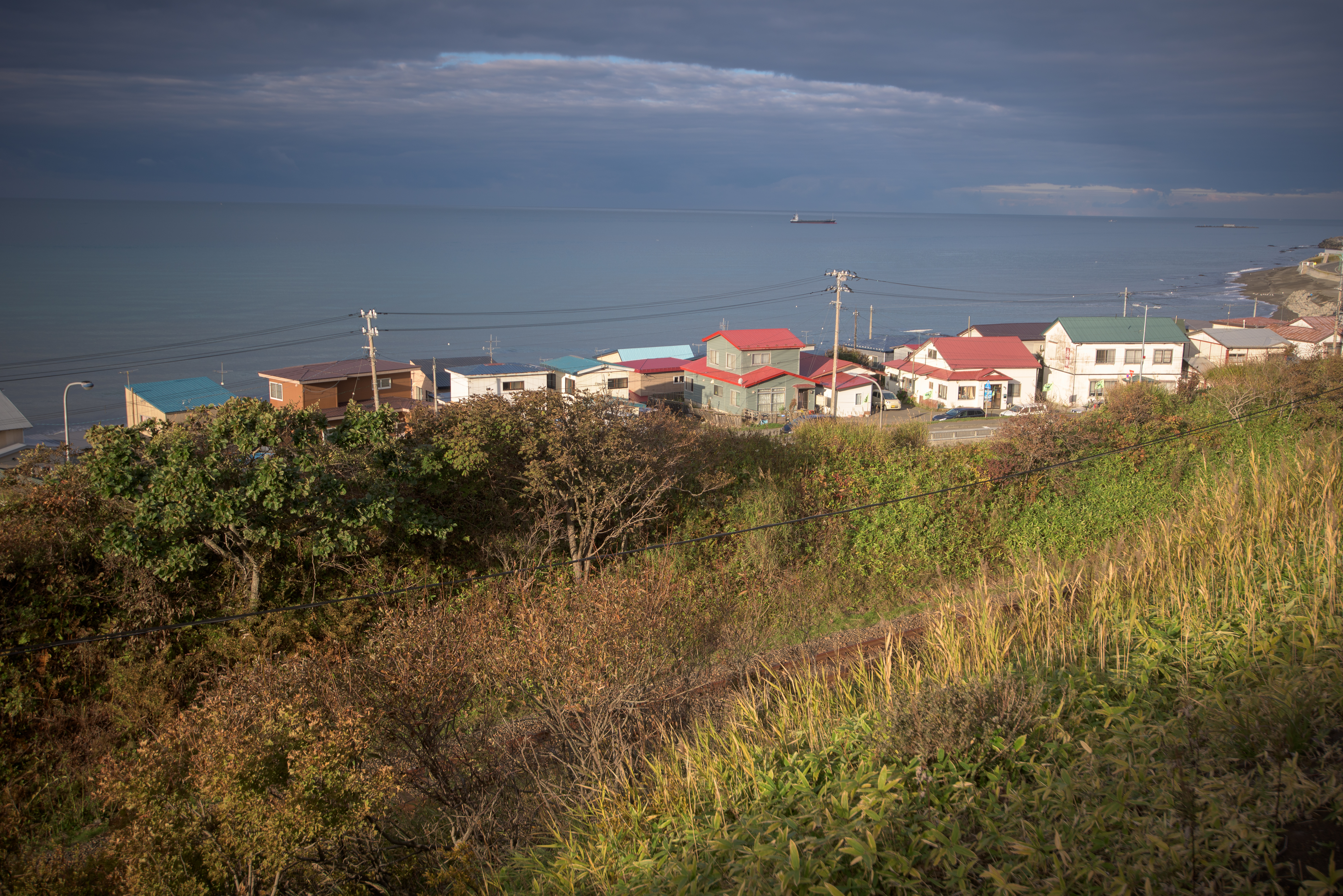
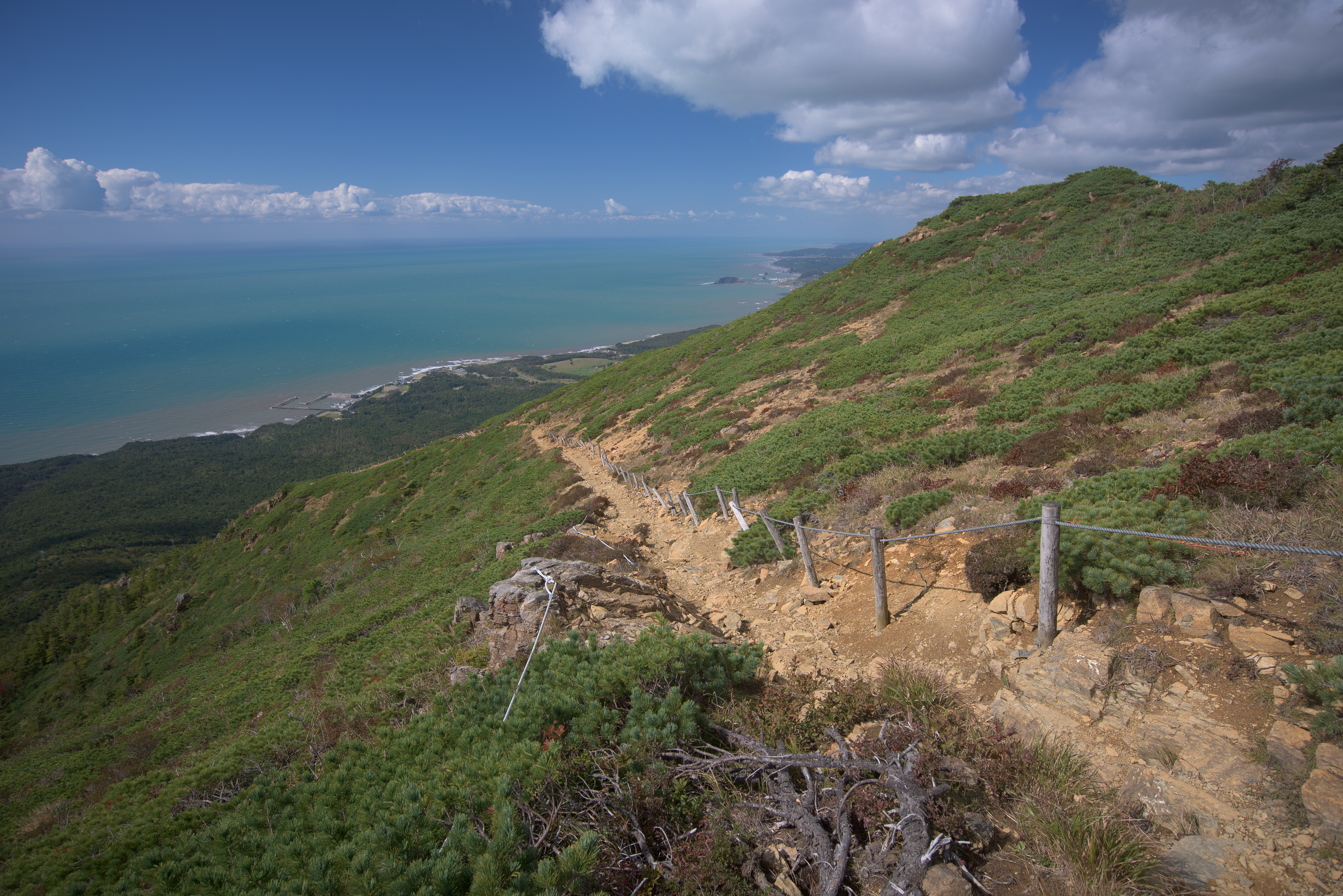
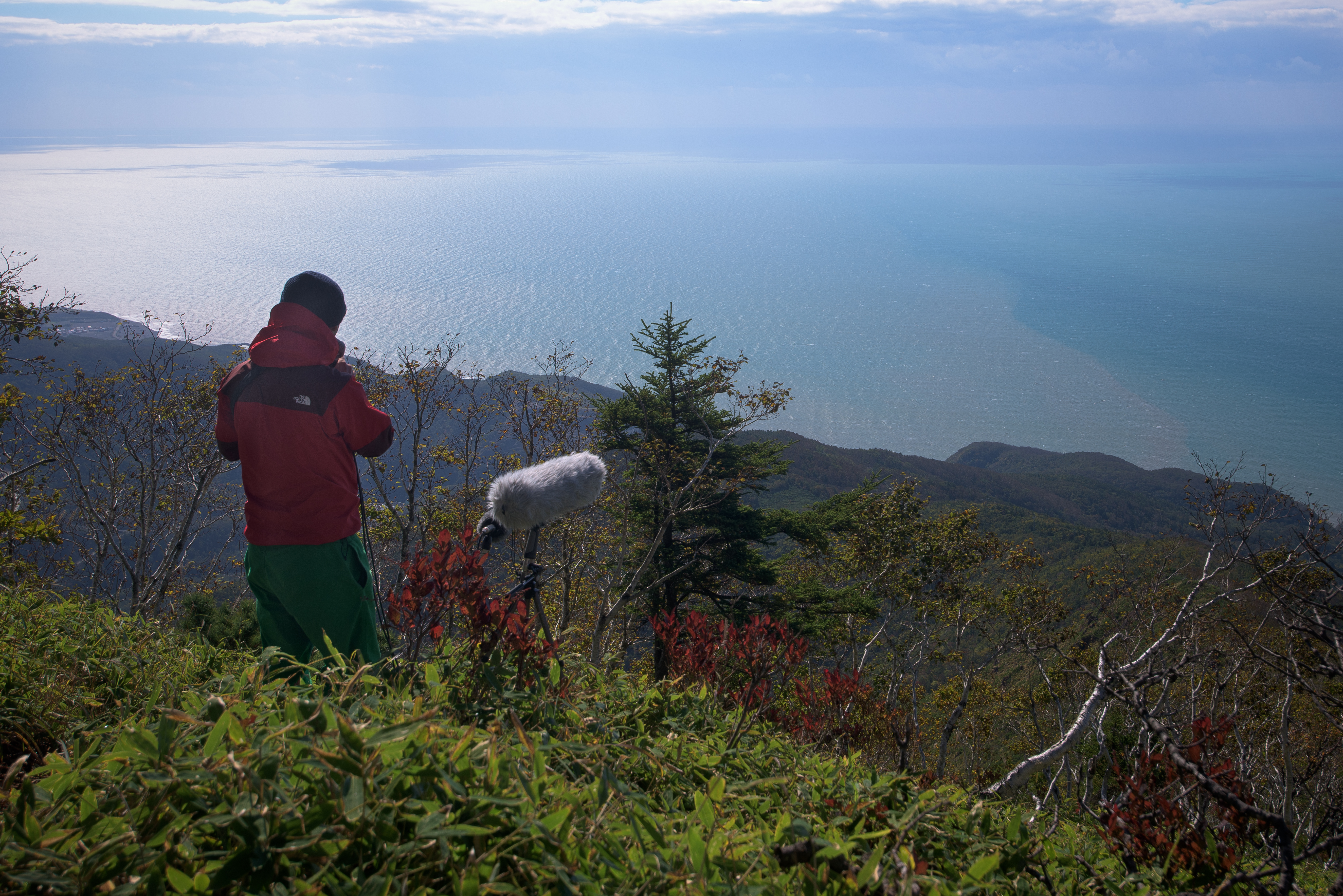
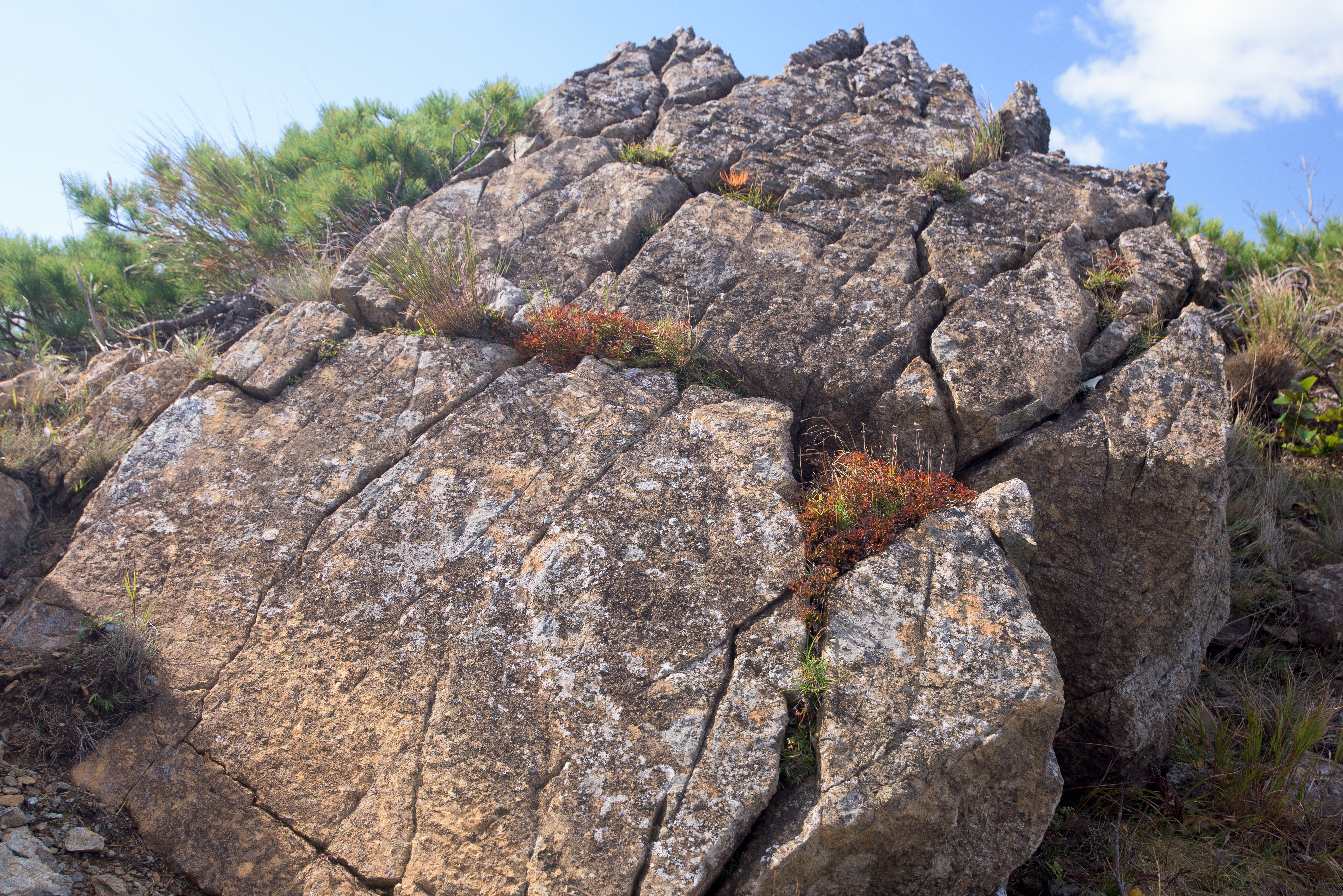
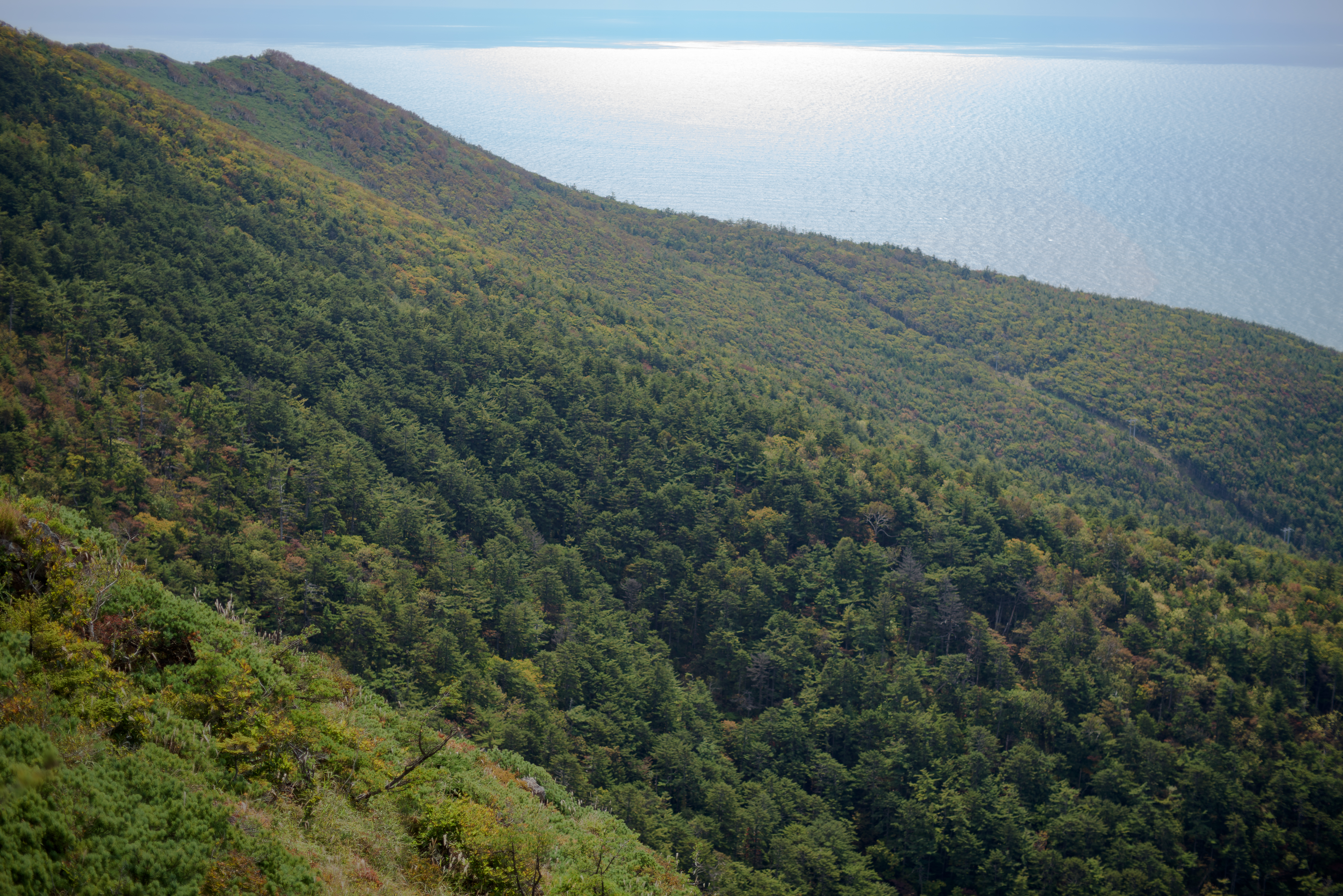
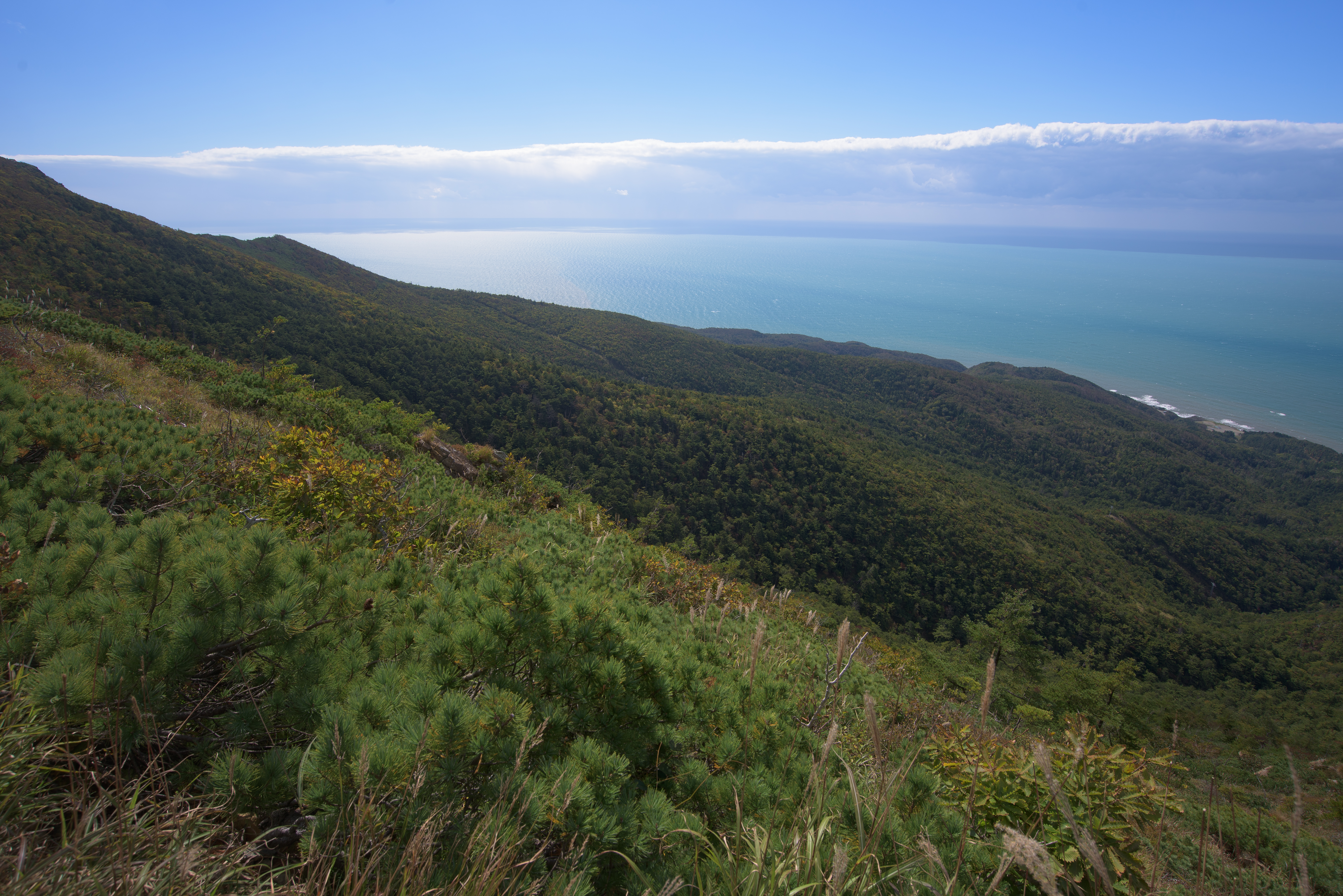
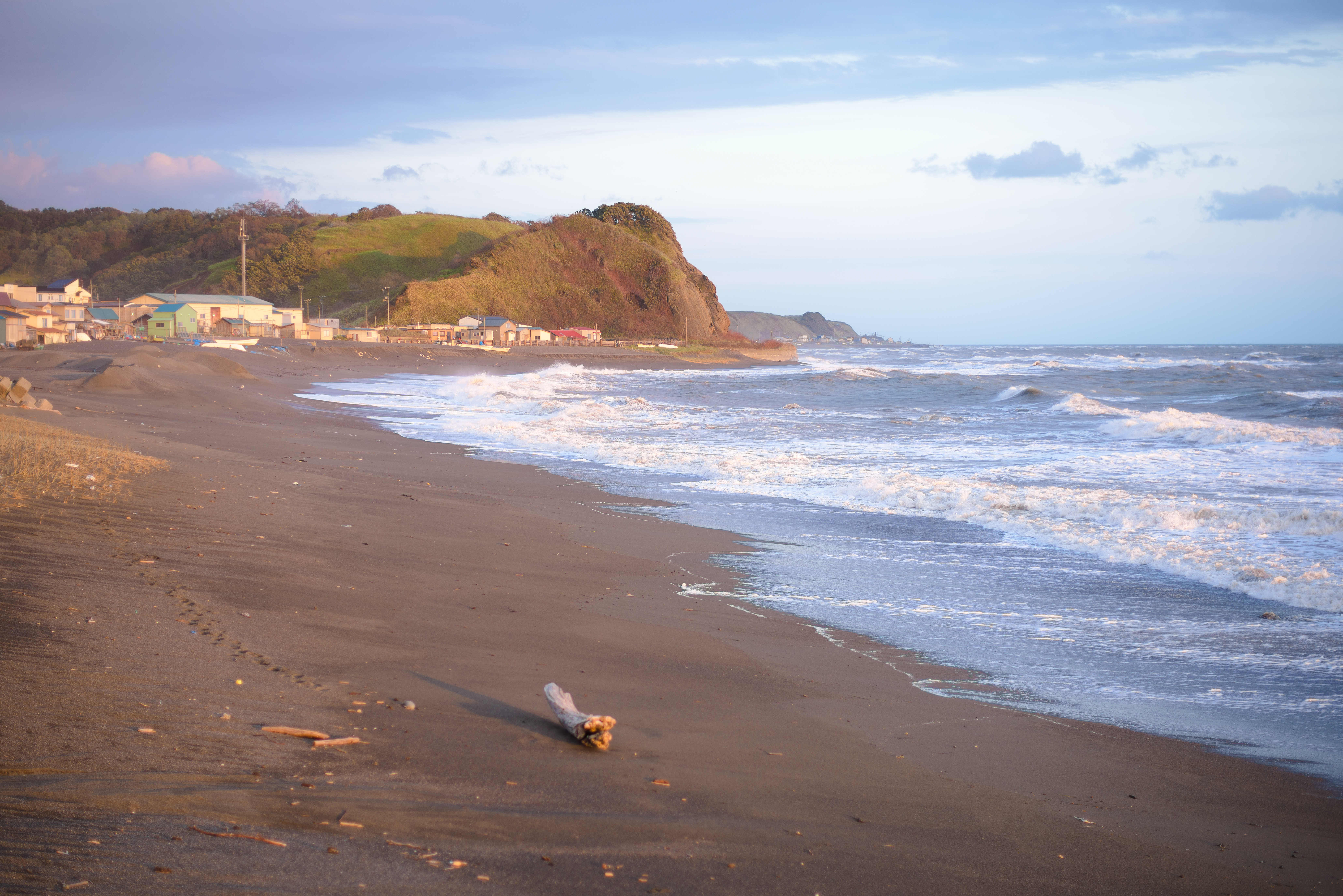
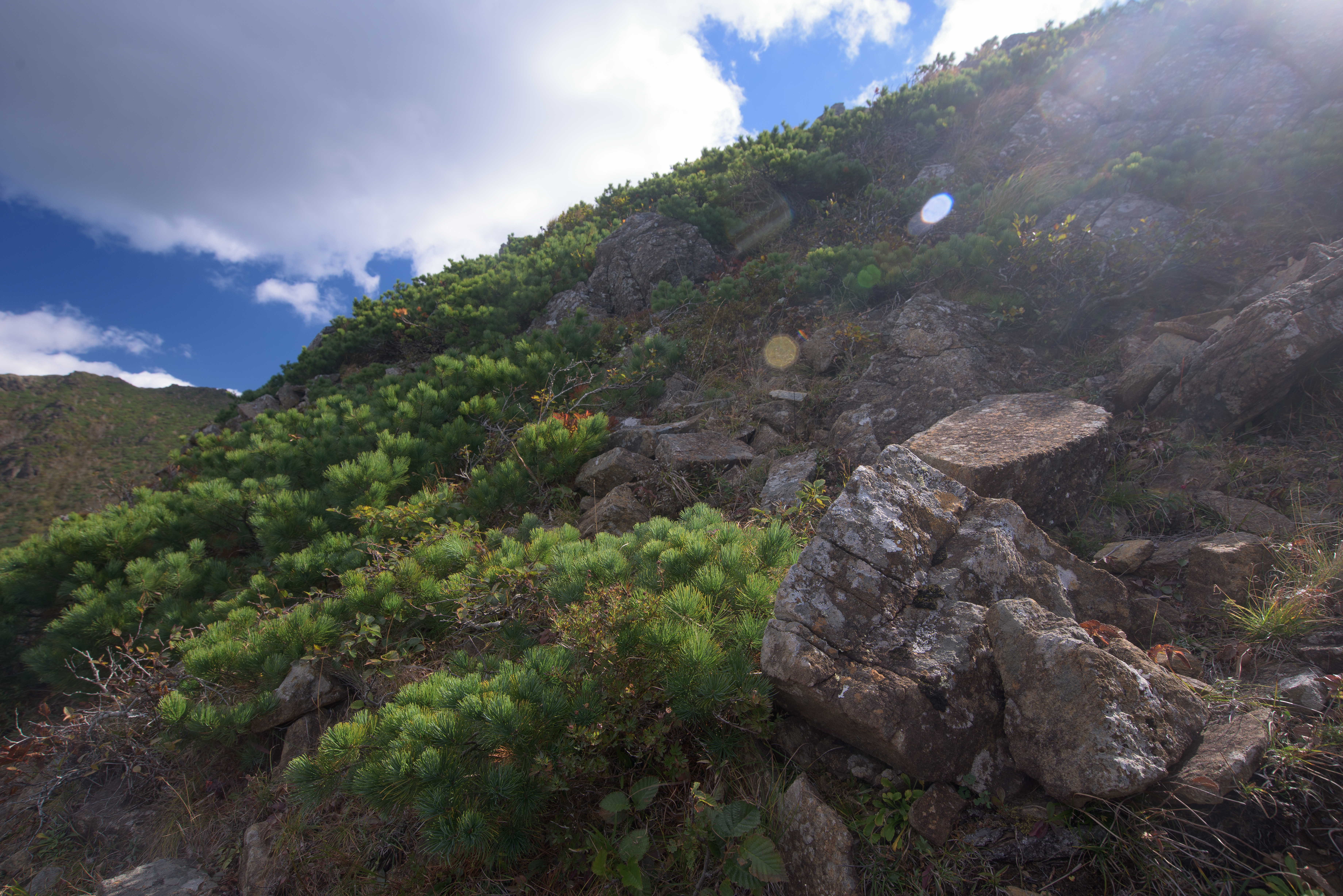
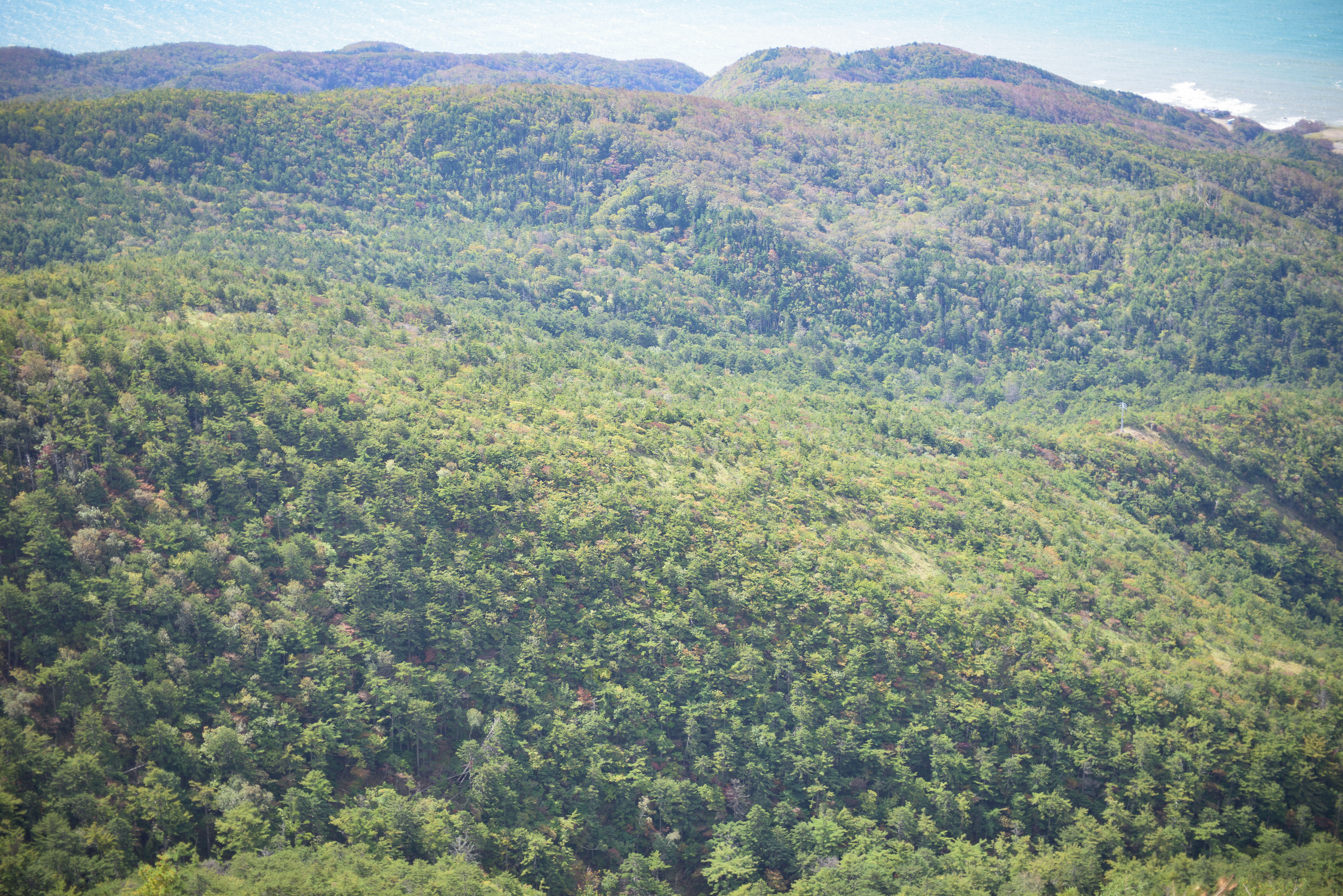
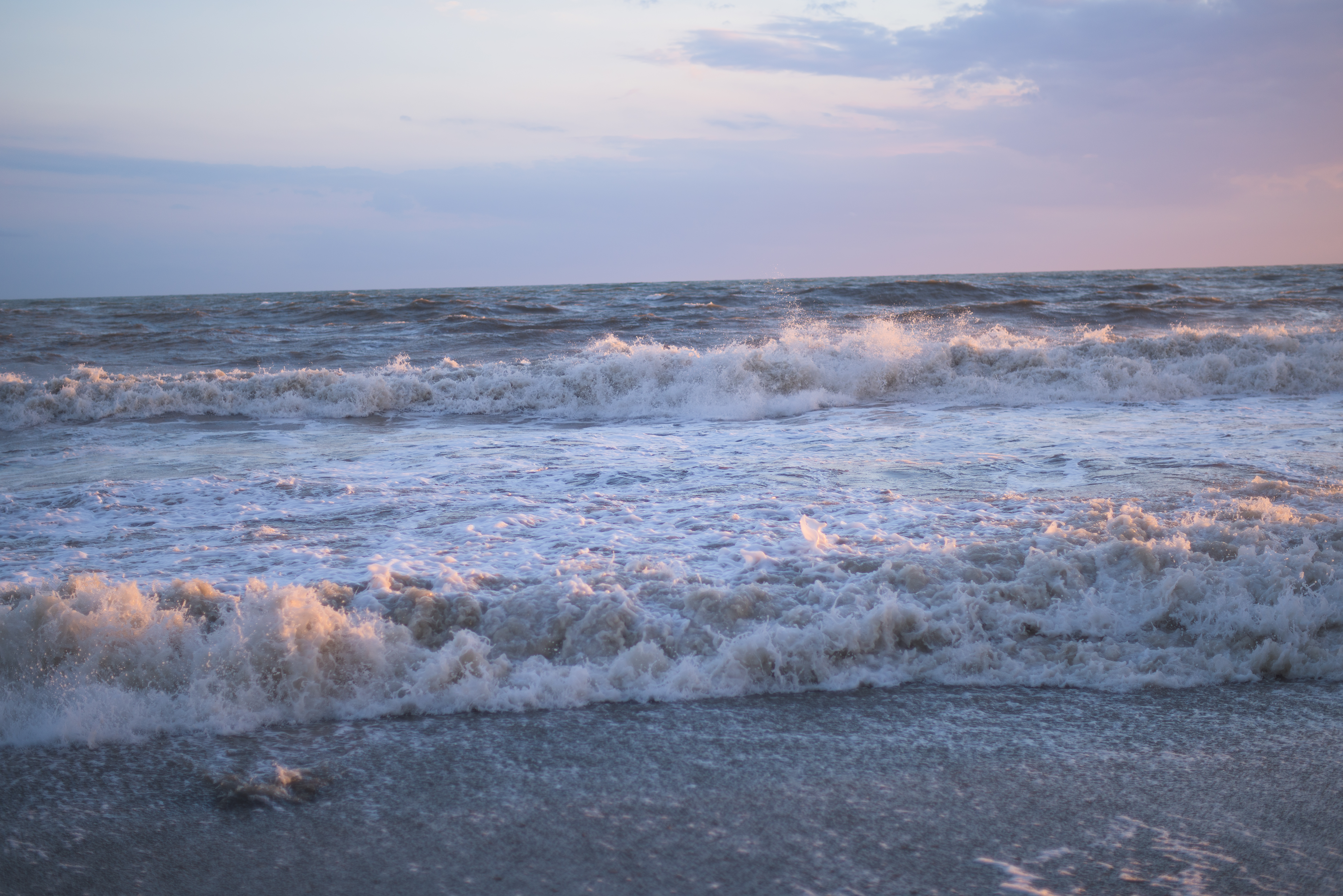
Related Photos:

_DSC2012.jpg
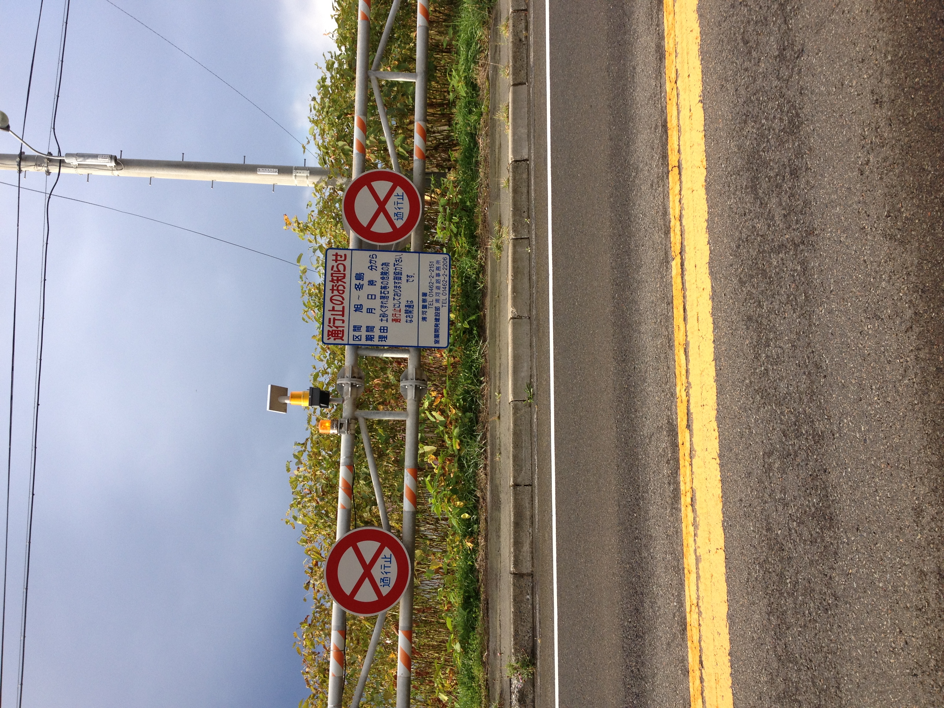
IMAGE_95.jpeg
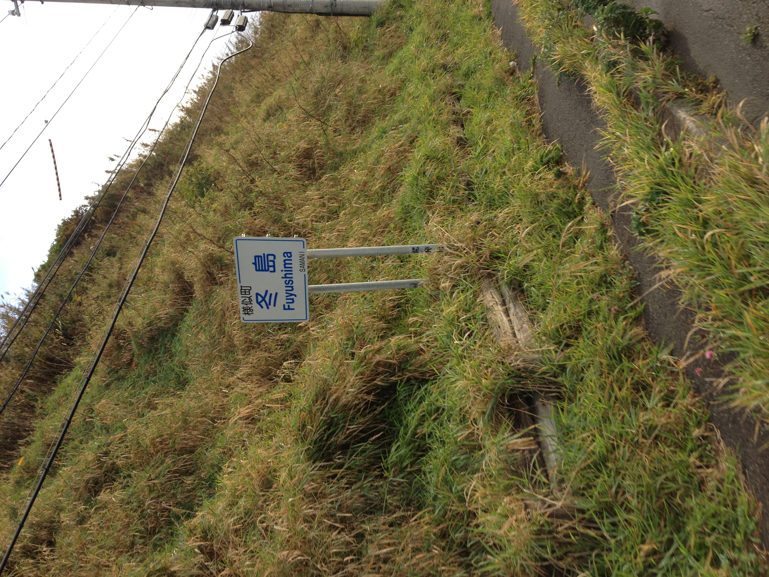
IMAGE_92.jpeg

_DSC4386.jpg

_DSC4537.jpg

_DSC4369.jpg

_DSC4378.jpg
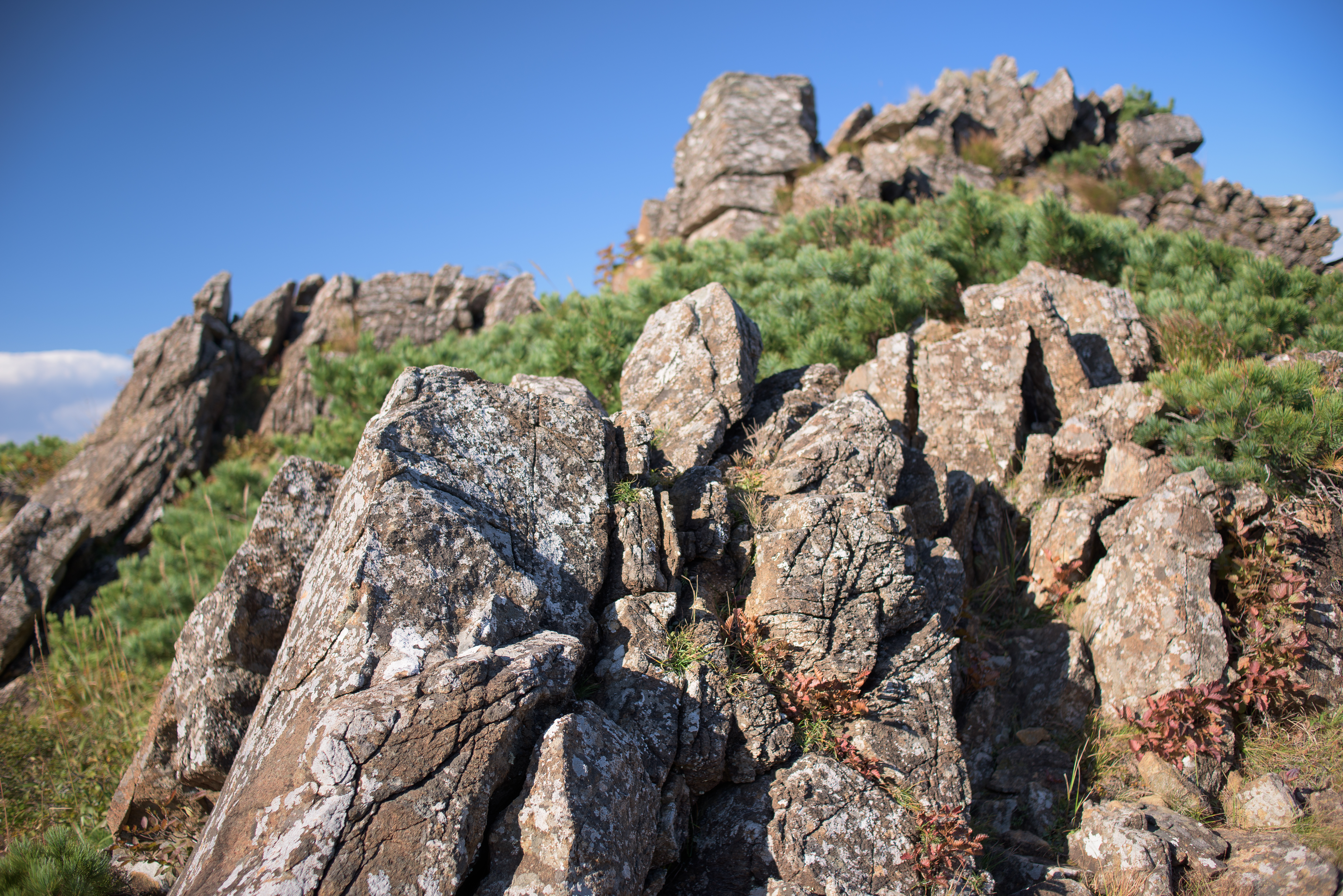
_DSC4501.jpg
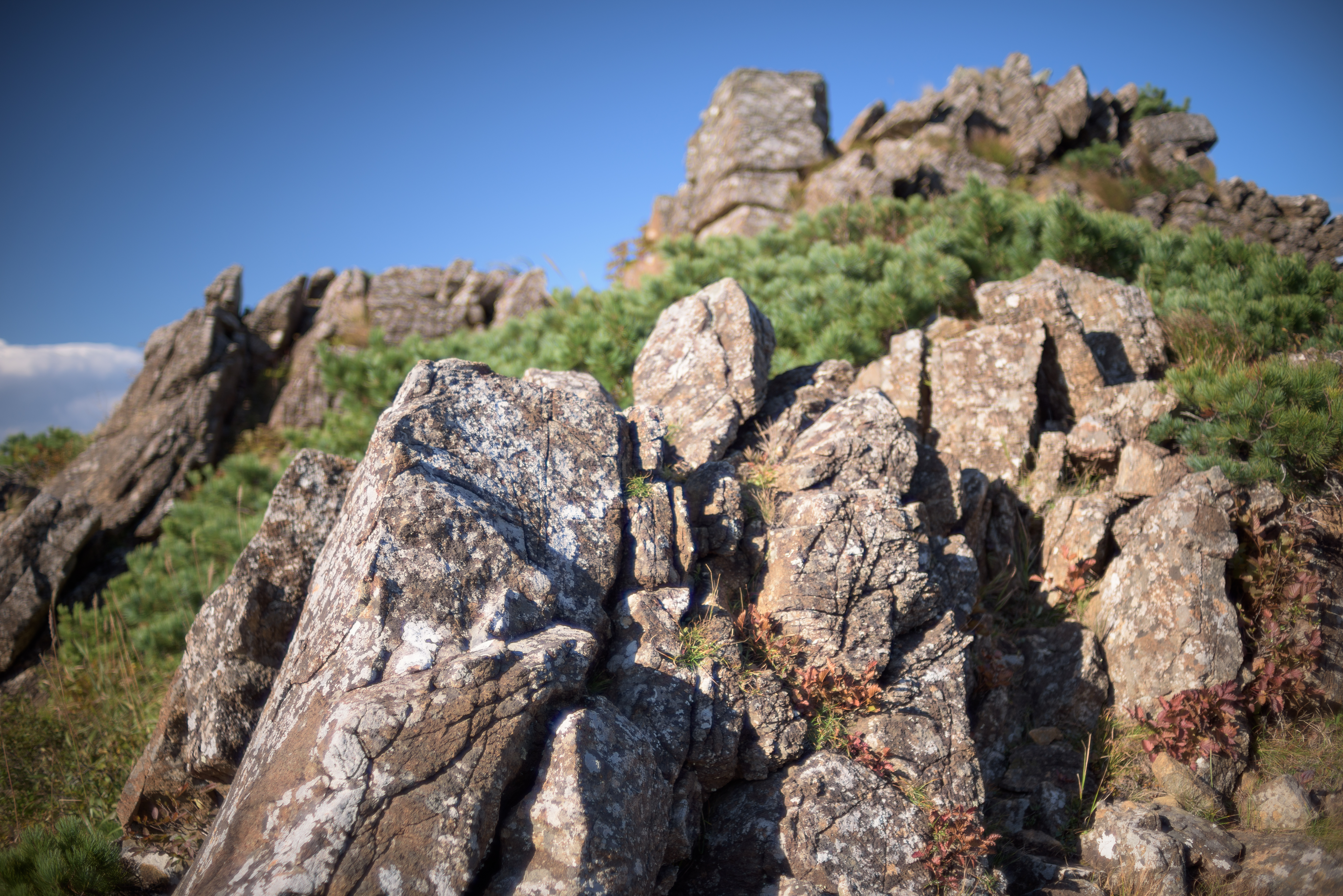
_DSC4500.jpg
_DSC4561.jpg
_DSC4668.jpg
_DSC4636.jpg
_DSC4562.jpg
_DSC4630.jpg
_DSC4625.jpg
_DSC4622.jpg
_DSC4366.jpg
_DSC4619.jpg
_DSC4624.jpg
_DSC4383.jpg

_DSC4356.jpg
Topographic Map of Tashiro, Samani-chō, Samani-gun, Hokkaidō -, Japan
Find elevation by address:

Places near Tashiro, Samani-chō, Samani-gun, Hokkaidō -, Japan:
Hirau, Samani-chō, Samani-gun, Hokkaidō -, Japan
Samani District
Samani
Urakawa
Yamato, Erimo-chō, Horoizumi-gun, Hokkaidō -, Japan
Erimo
Honchō, Erimo-chō, Horoizumi-gun, Hokkaidō -, Japan
Horoizumi District
Erimomisaki, Erimo-chō, Horoizumi-gun, Hokkaidō -, Japan
Recent Searches:
- Elevation of Village Ln, Finleyville, PA, USA
- Elevation of 24 Oakland Rd #, Scotland, ON N0E 1R0, Canada
- Elevation of Deep Gap Farm Rd E, Mill Spring, NC, USA
- Elevation of Dog Leg Dr, Minden, NV, USA
- Elevation of Dog Leg Dr, Minden, NV, USA
- Elevation of Kambingan Sa Pansol Atbp., Purok 7 Pansol, Candaba, Pampanga, Philippines
- Elevation of Pinewood Dr, New Bern, NC, USA
- Elevation of Mountain View, CA, USA
- Elevation of Foligno, Province of Perugia, Italy
- Elevation of Blauwestad, Netherlands