Elevation of Horoizumi District, Hokkaido Prefecture, Japan
Location: Japan > Hokkaido Prefecture >
Longitude: 143.226
Latitude: 42.074
Elevation: 1042m / 3419feet
Barometric Pressure: 89KPa
Elevation Map:
Satellite Map:
Related Photos:

03-08

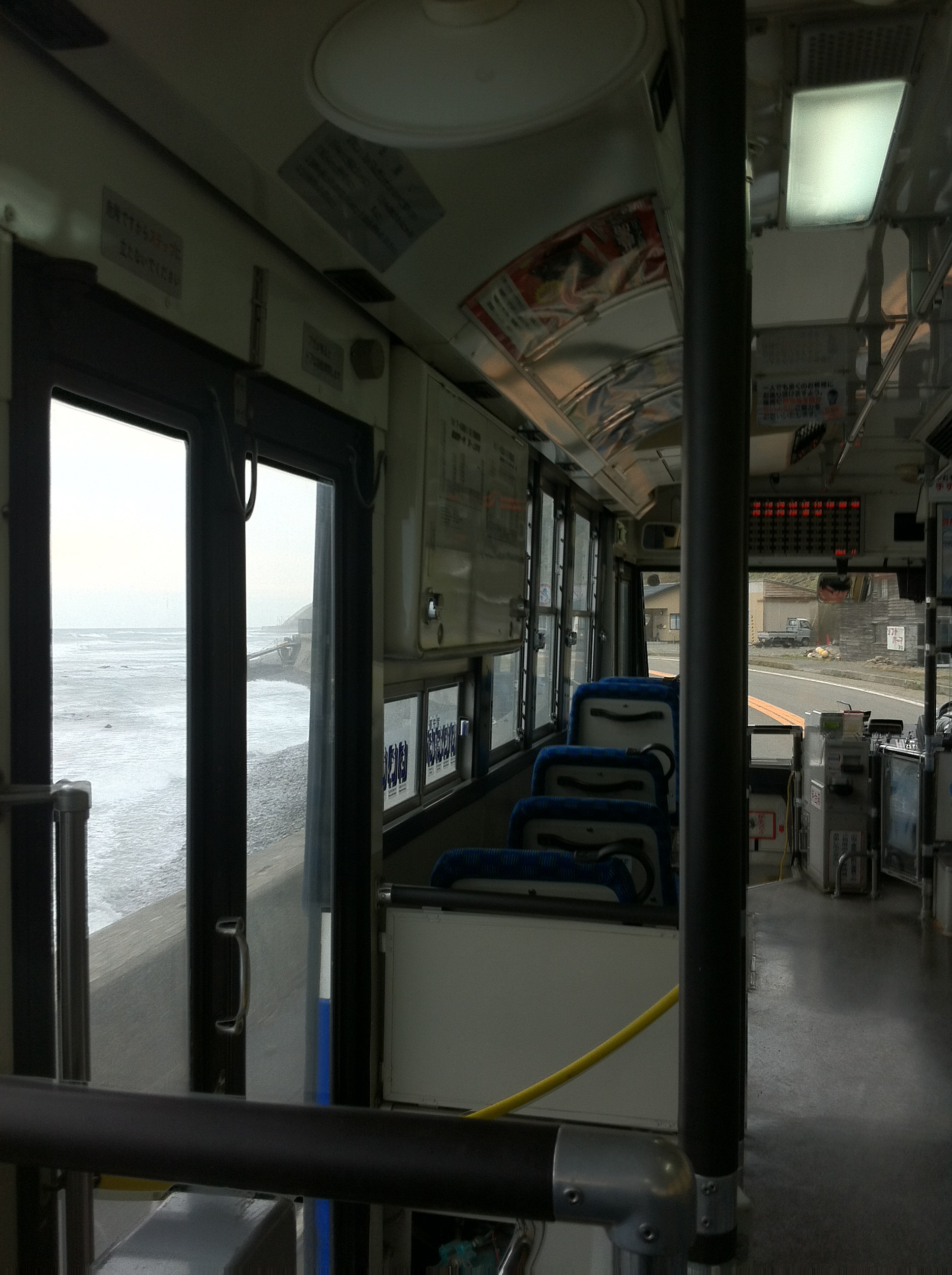
北海道黄金道路沿岸
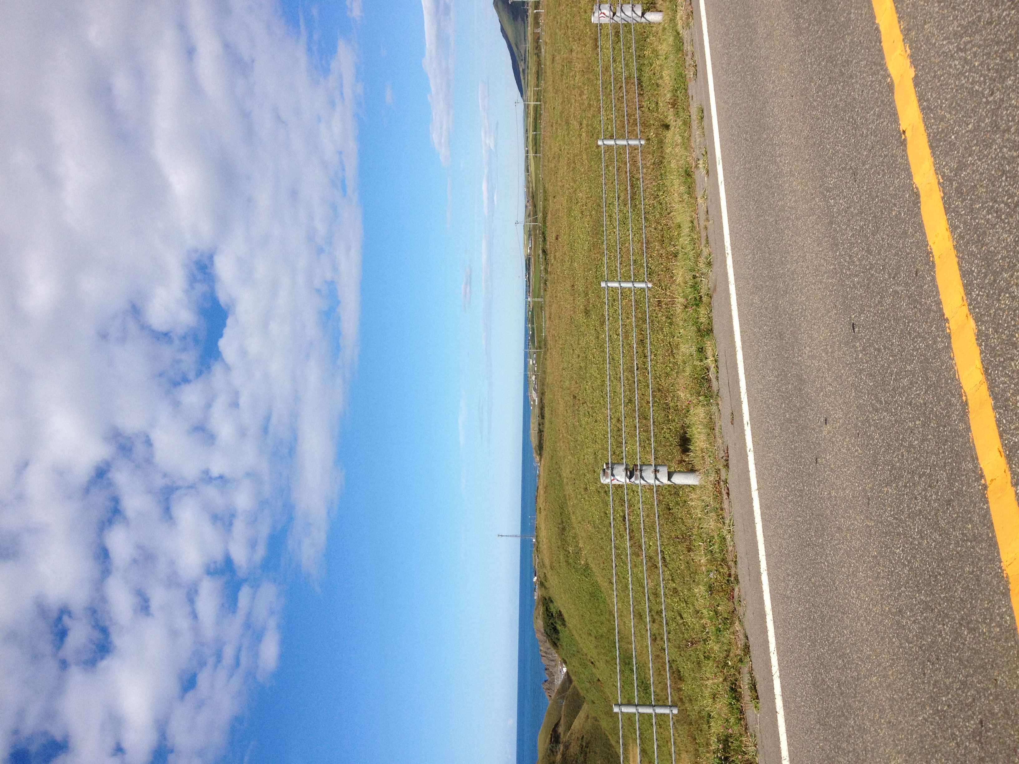
IMAGE_103.jpeg
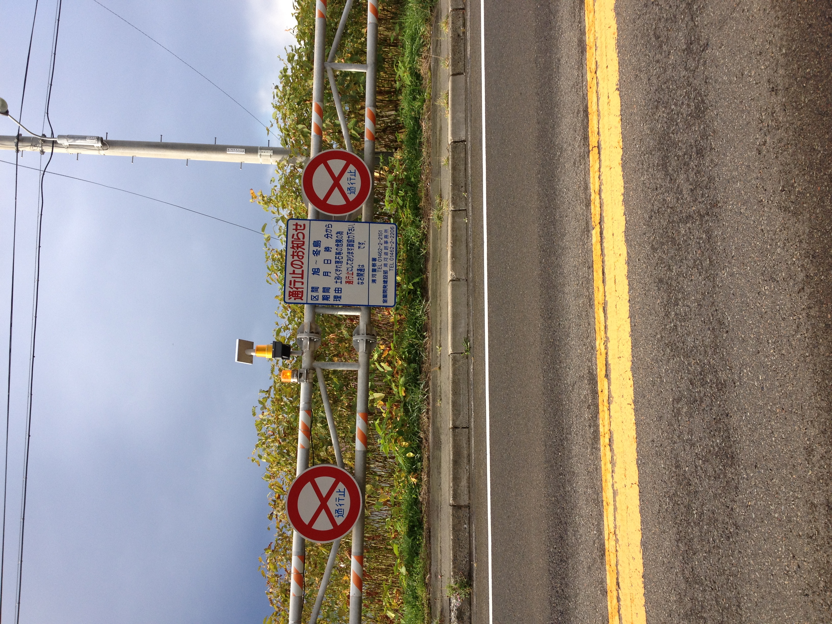
IMAGE_95.jpeg
HokkaidoTrip-81
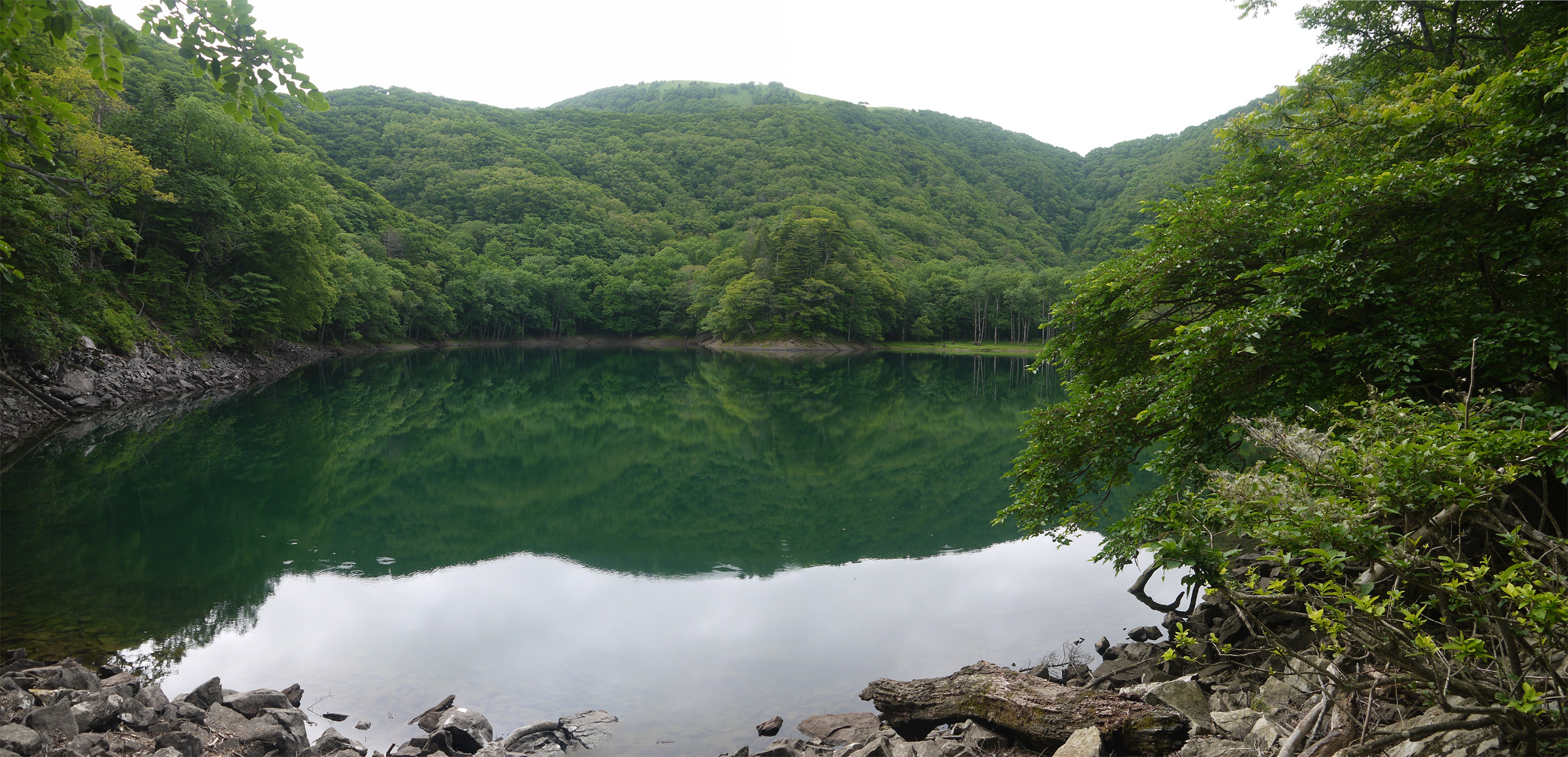
Lake Toyoni panorama

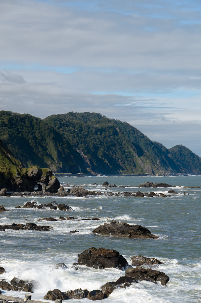
sea tangle harvesting, port of Shoya
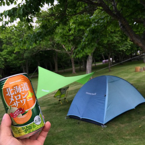
ケチらないキャンプ #キャンプ
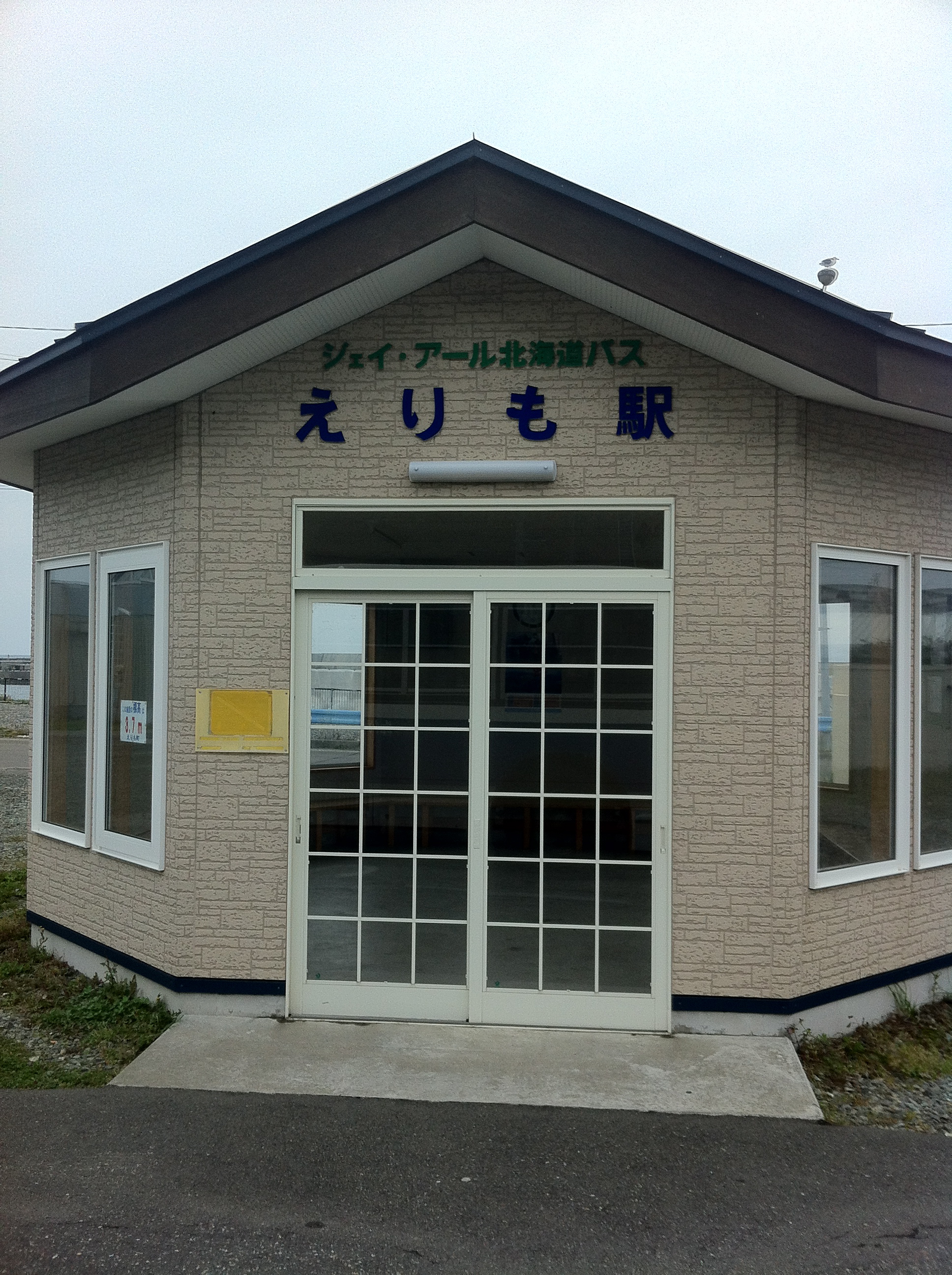
えりも駅
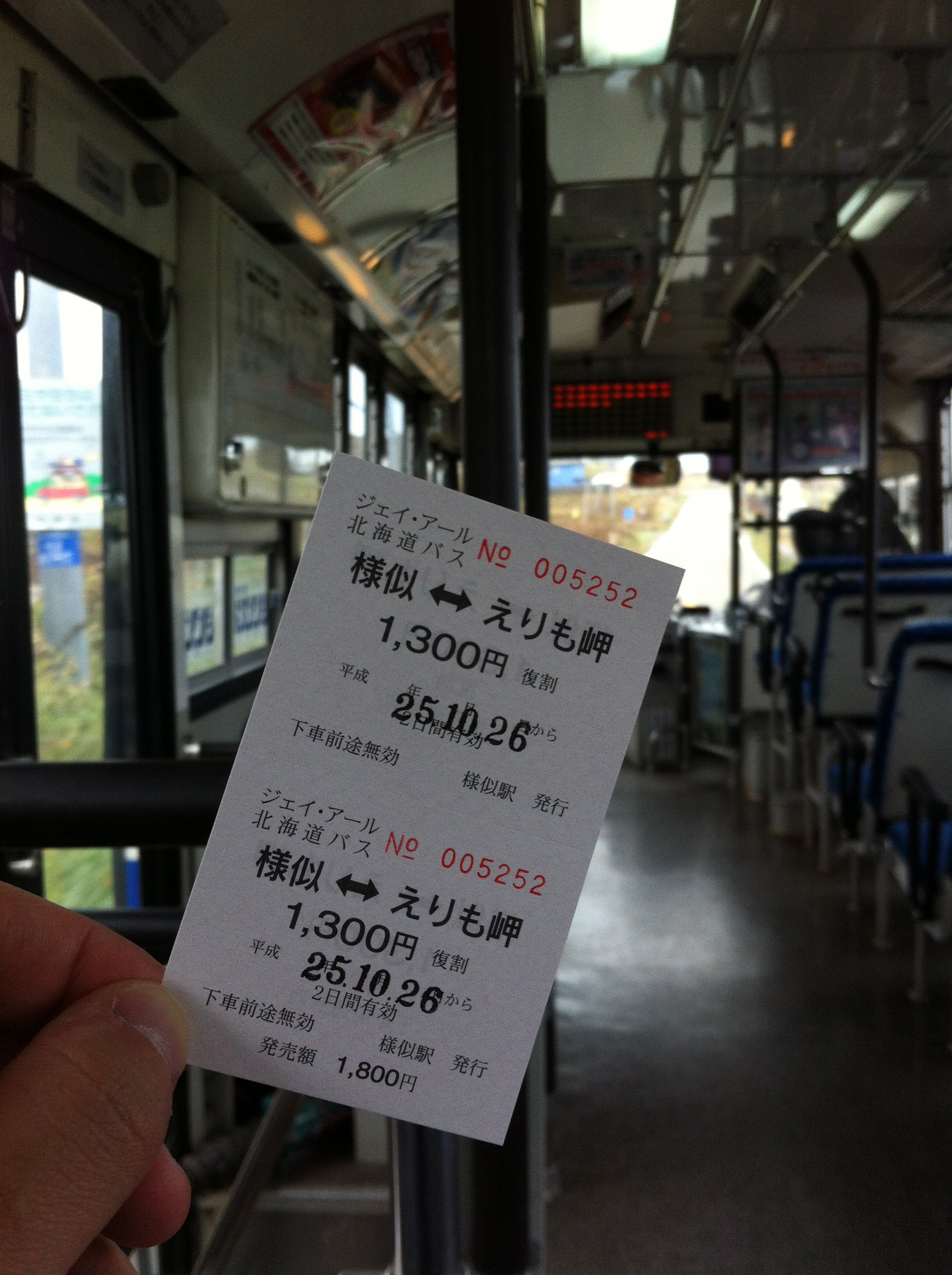
様似・えりも岬 往復乗車券
日勝線車窓
日勝線車窓
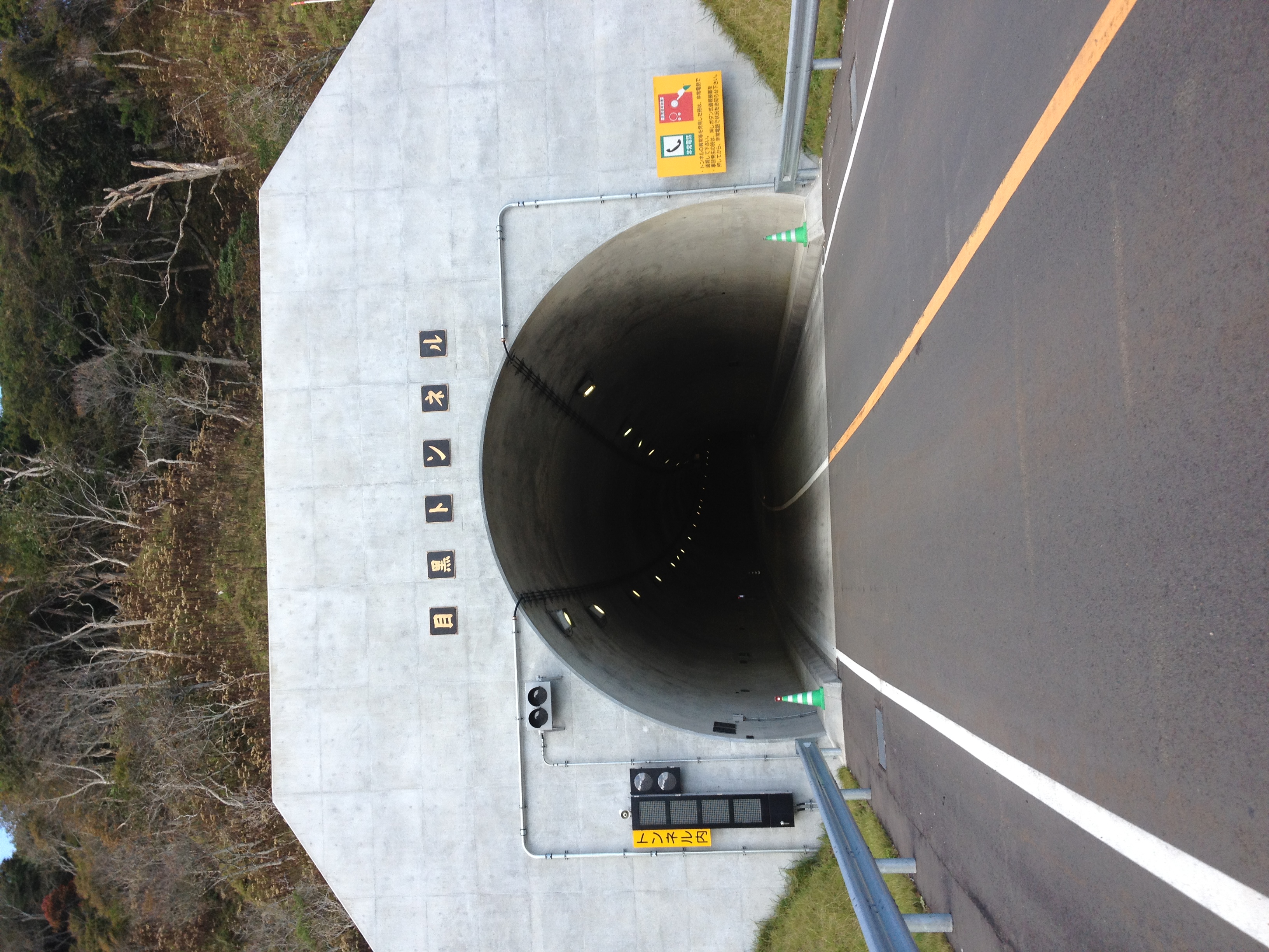
IMAGE_112.jpeg
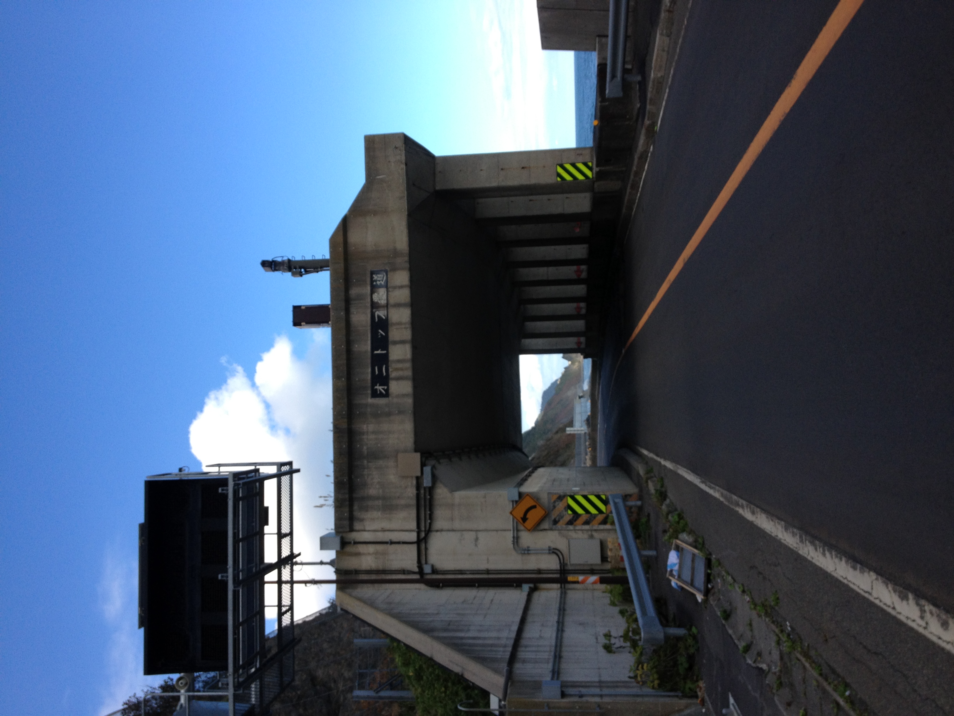
IMAGE_111.jpeg
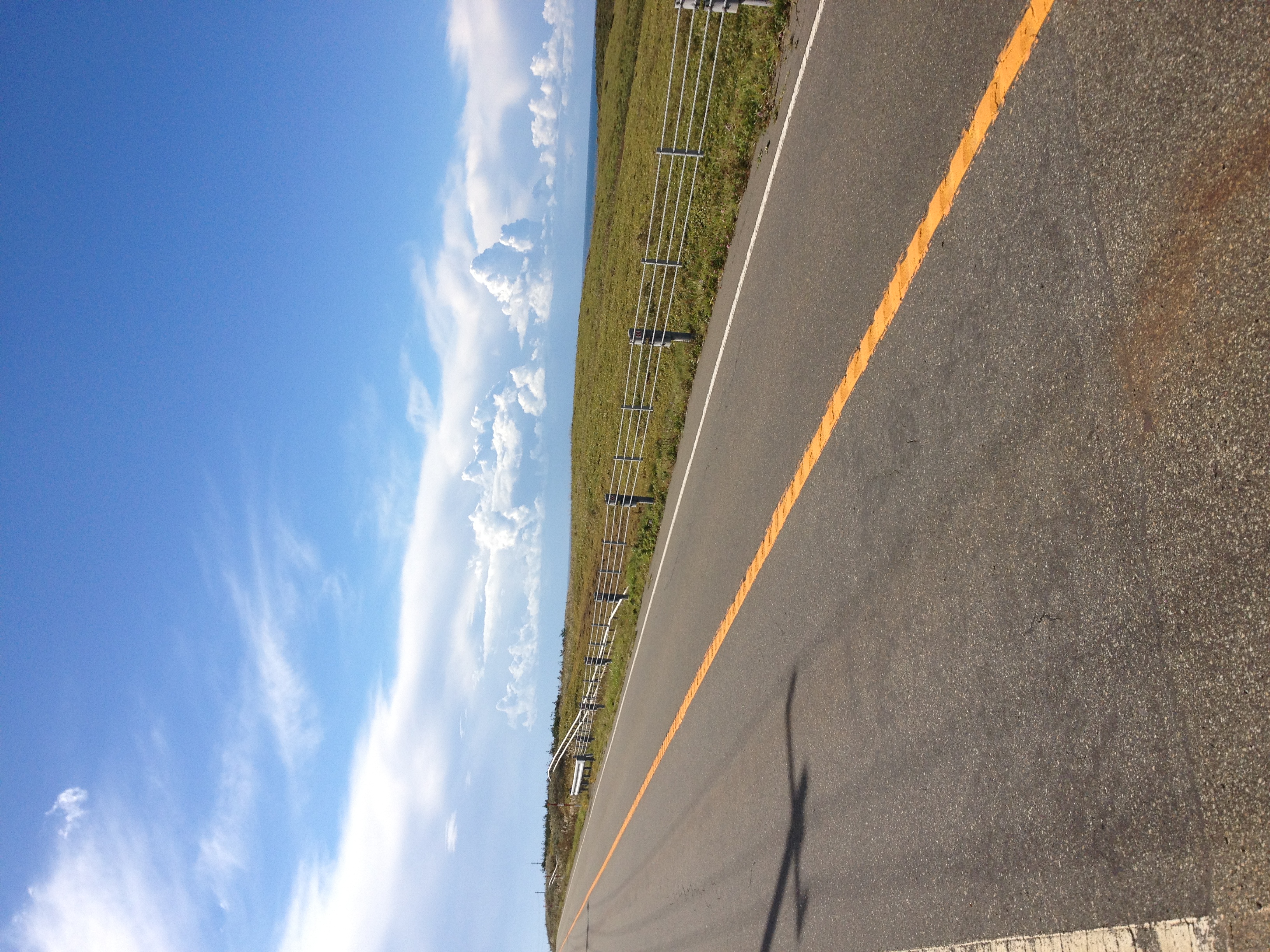
IMAGE_104.jpeg
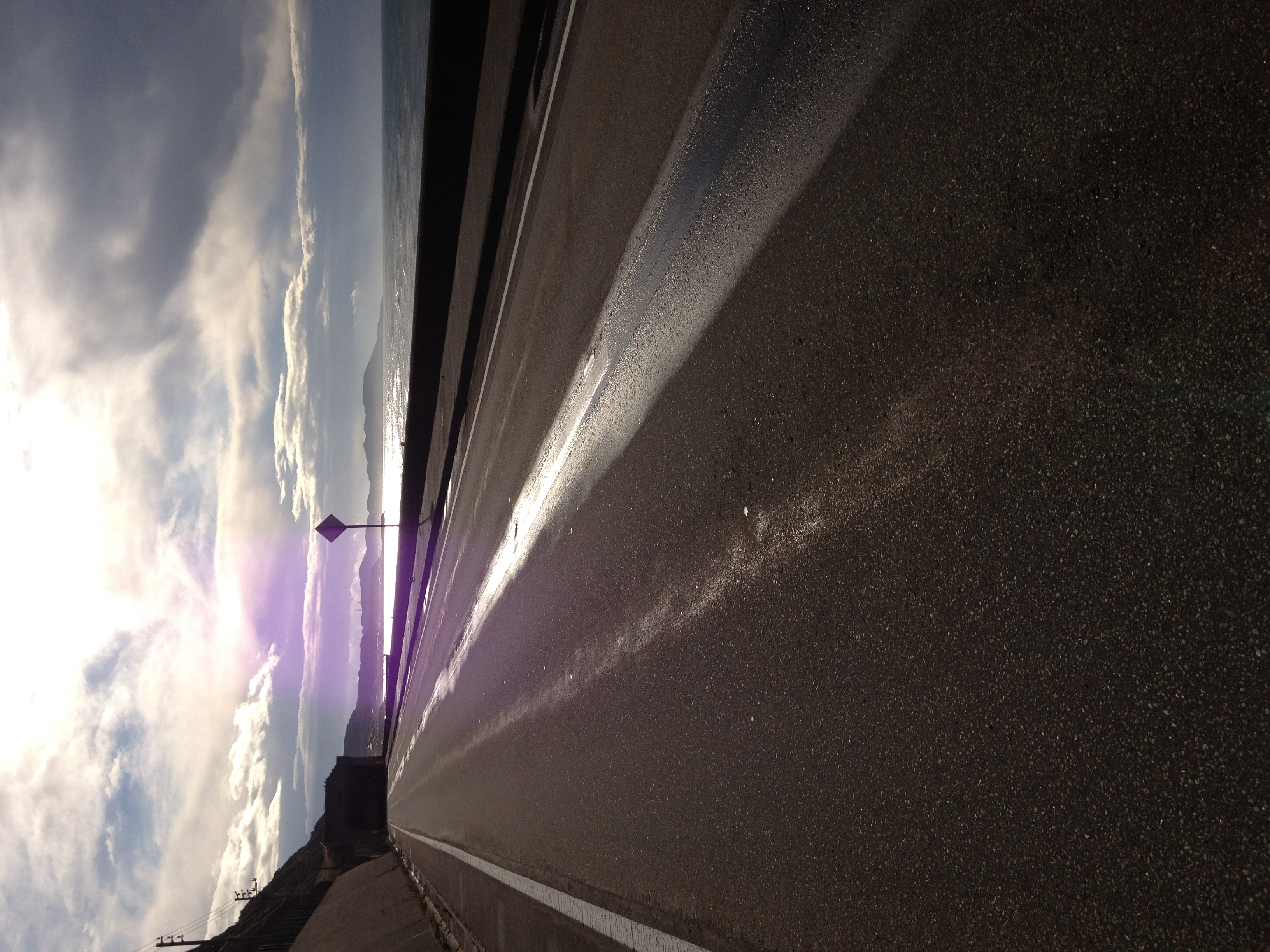
IMAGE_94.jpeg

CL03_IMG_7815.jpg
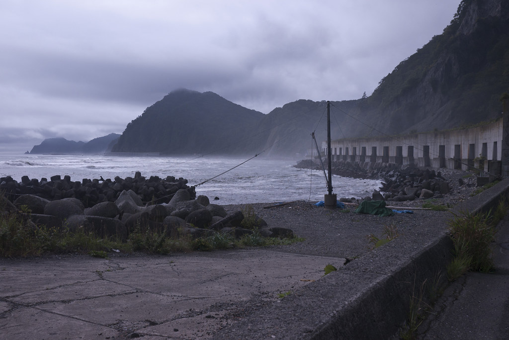
庶野
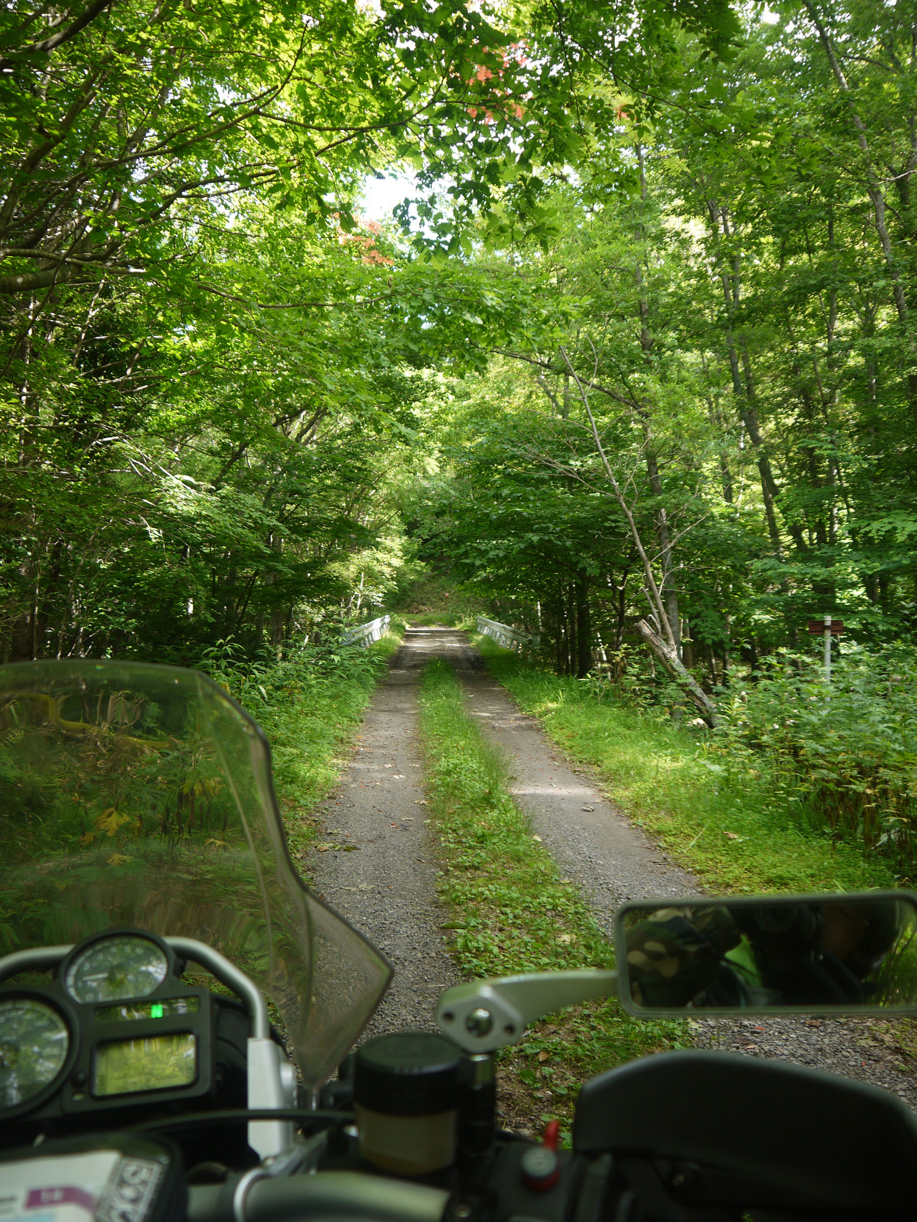
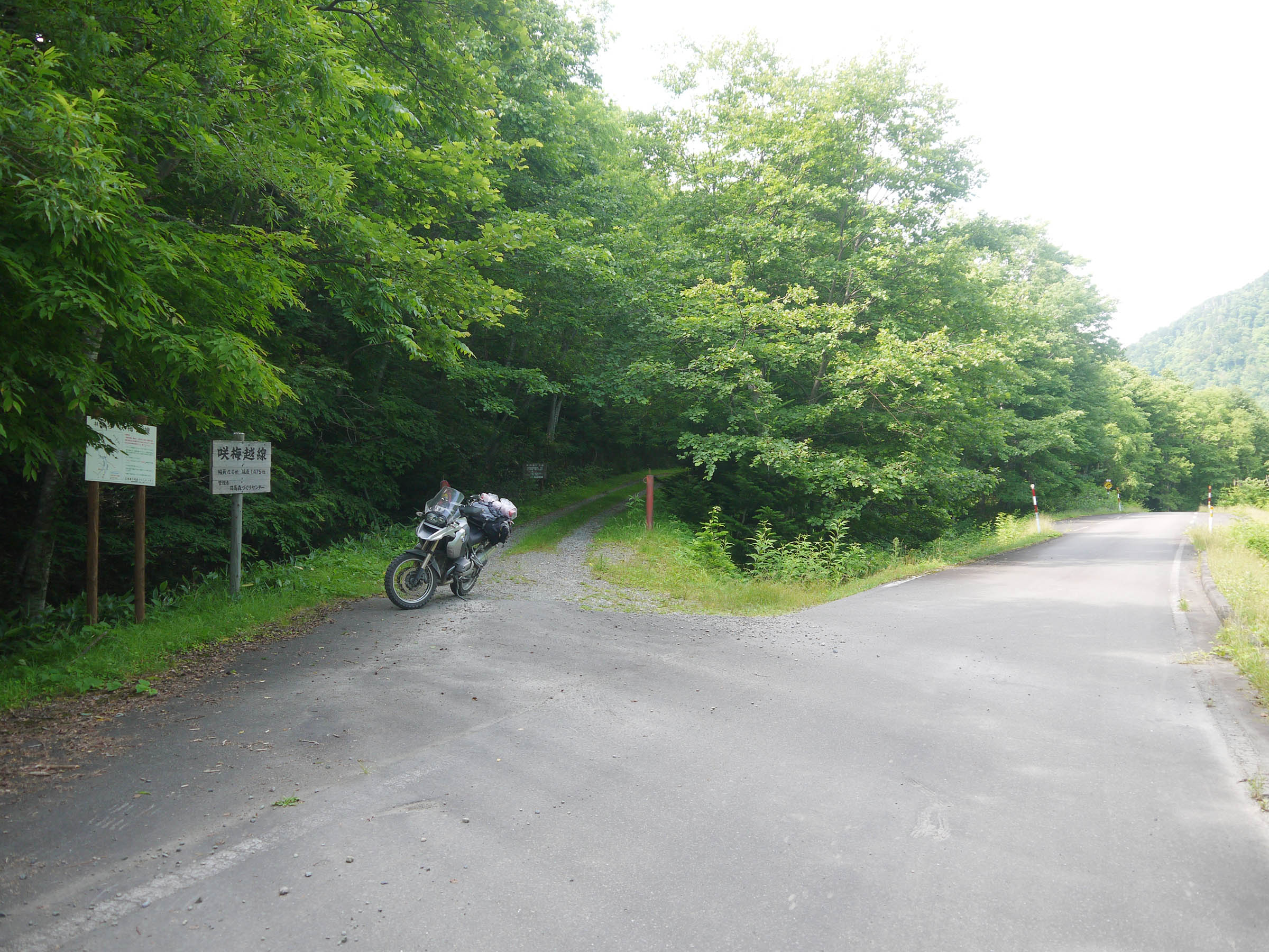
Sakiumekoshi RIndou
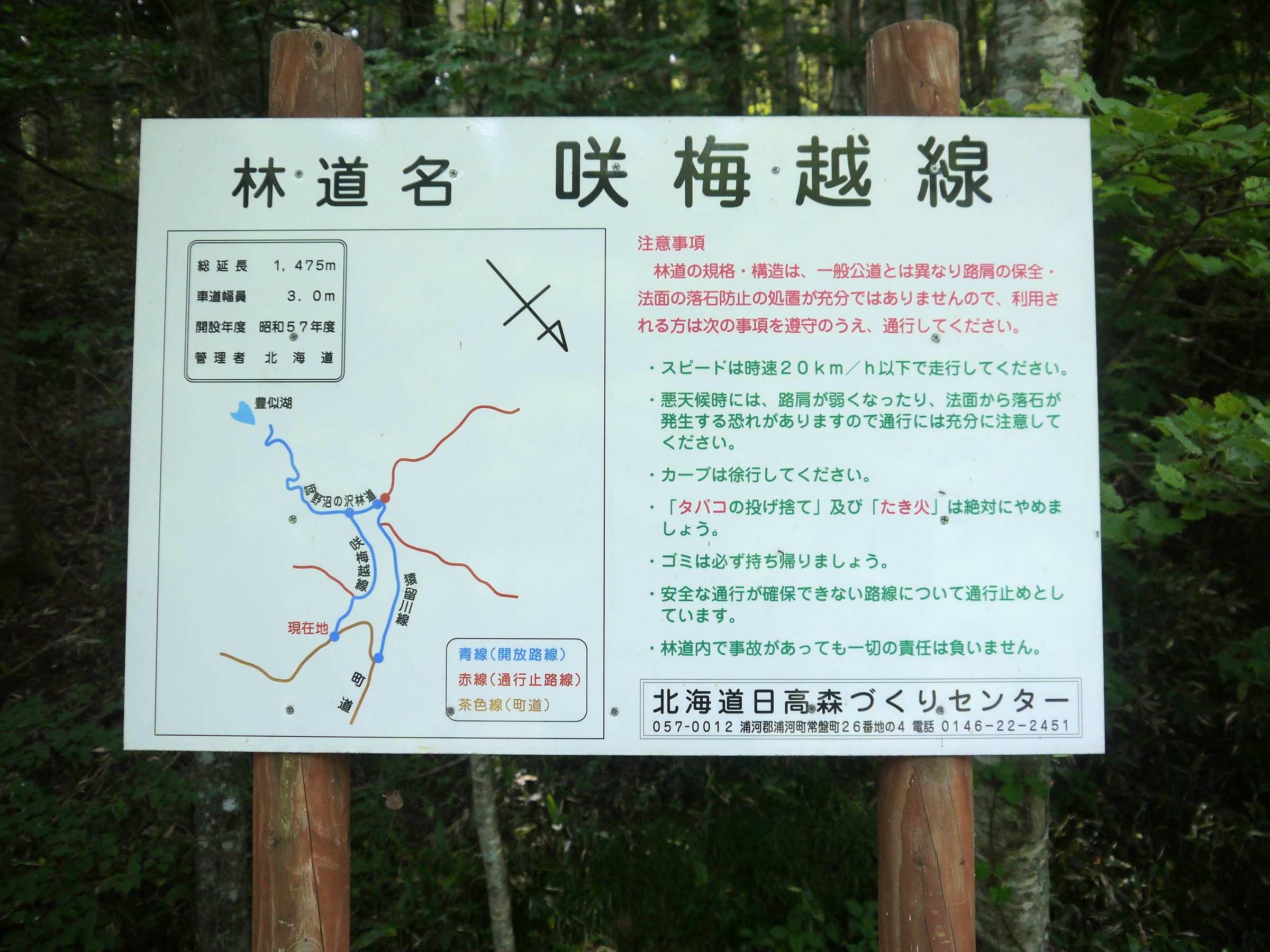
Sakiumekoshi Rindou map

Sakiumekoshi RIndou

Sakiumekoshi RIndou
end point of Sakiumekoshi RIndou
Topographic Map of Horoizumi District, Hokkaido Prefecture, Japan
Find elevation by address:

Places in Horoizumi District, Hokkaido Prefecture, Japan:
Places near Horoizumi District, Hokkaido Prefecture, Japan:
Yamato, Erimo-chō, Horoizumi-gun, Hokkaidō -, Japan
Honchō, Erimo-chō, Horoizumi-gun, Hokkaidō -, Japan
Erimomisaki, Erimo-chō, Horoizumi-gun, Hokkaidō -, Japan
Erimo
Samani District
Hirau, Samani-chō, Samani-gun, Hokkaidō -, Japan
Tashiro, Samani-chō, Samani-gun, Hokkaidō -, Japan
Samani
Urakawa
Recent Searches:
- Elevation of Kambingan Sa Pansol Atbp., Purok 7 Pansol, Candaba, Pampanga, Philippines
- Elevation of Pinewood Dr, New Bern, NC, USA
- Elevation of Mountain View, CA, USA
- Elevation of Foligno, Province of Perugia, Italy
- Elevation of Blauwestad, Netherlands
- Elevation of Bella Terra Blvd, Estero, FL, USA
- Elevation of Estates Loop, Priest River, ID, USA
- Elevation of Woodland Oak Pl, Thousand Oaks, CA, USA
- Elevation of Brownsdale Rd, Renfrew, PA, USA
- Elevation of Corcoran Ln, Suffolk, VA, USA