Elevation of Tar Island, AB T0P, Canada
Location: Canada > Alberta > Division No. 16 > Wood Buffalo >
Longitude: -111.48112
Latitude: 56.975847
Elevation: 331m / 1086feet
Barometric Pressure: 97KPa
Elevation Map:
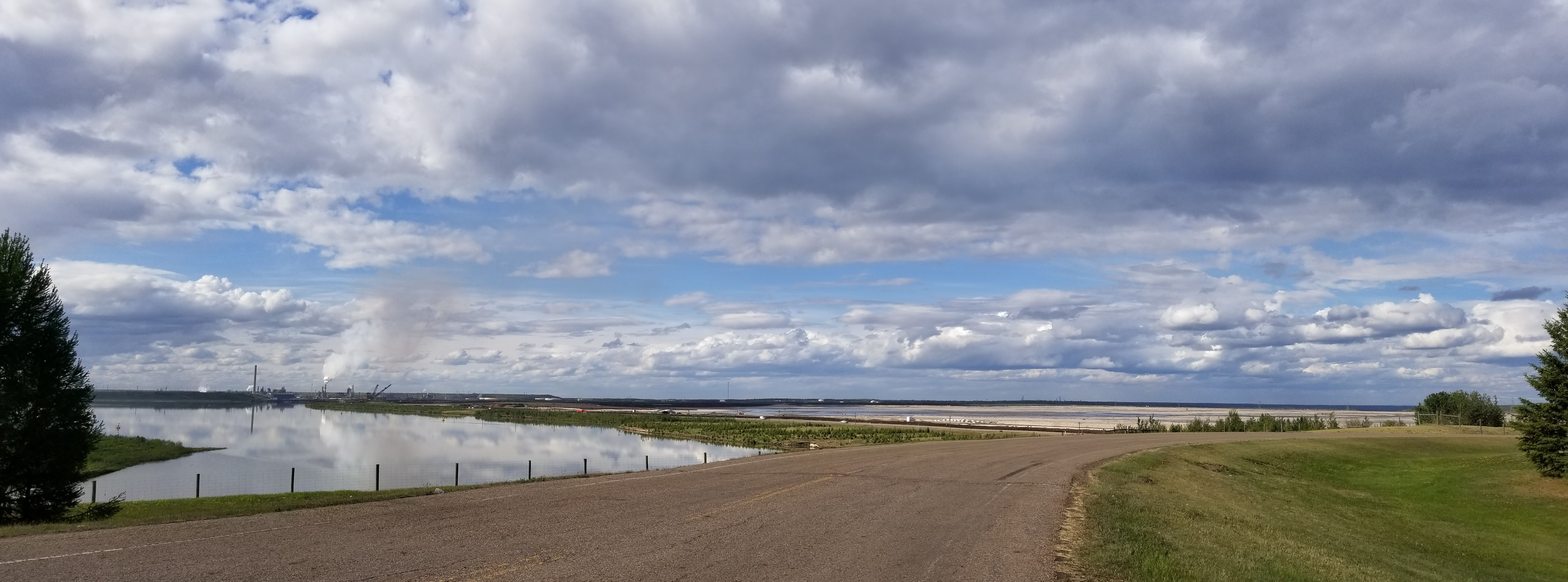
Satellite Map:
Related Photos:

Black Sand ex

Syncrude Bison Lookout 2012

Syncrude Bison Lookout 2012

Propane tank and vapourers

Propane rotogage

Noralta lodge Fort Mcmurray

Gord at Gateway Hill 2017

Noralta village

Noralta Bighorn lodge

Wolverine lodge looking down

Noralta Wolverine lodge

Wolverine lodge

Noralta camp 2016

Noralta camp 2016

Black Sand craft

Black Sand ex

Andrea Borkenhagen, Ph.D. Ecology student at Colorado State University

Syncrude, Mildred Lake Project.

carbon castles

20190604-007

20190604-005

20190604-009
20190604-008
Topographic Map of Tar Island, AB T0P, Canada
Find elevation by address:

Places near Tar Island, AB T0P, Canada:
Suncor
Base Plant Road
Syncrude Mildred Lake Site Entrance
Comeau Crescent
Rattlepan Creek Crescent
223 Rattlepan Creek Crescent
100-347 Powder Dr
Timberlea
135c Sandpiper Rd
Timberline Drive
Thickwood Heights
Wood Buffalo
Fort Mcmurray
Mackay River
Beacon Hill
Beacon Hill North
Beacon Hill Dr, Fort McMurray, AB T9H 2R1, Canada
Cnrl Horizon Road
Cnrl Horizon Highway
Fort Hills Plant
Recent Searches:
- Elevation of Great Brook Sports, Gold Star Hwy, Groton, CT, USA
- Elevation of 10 Mountain Laurels Dr, Nashua, NH, USA
- Elevation of 16 Gilboa Ln, Nashua, NH, USA
- Elevation of Laurel Rd, Townsend, TN, USA
- Elevation of 3 Nestling Wood Dr, Long Valley, NJ, USA
- Elevation of Ilungu, Tanzania
- Elevation of Yellow Springs Road, Yellow Springs Rd, Chester Springs, PA, USA
- Elevation of Rēzekne Municipality, Latvia
- Elevation of Plikpūrmaļi, Vērēmi Parish, Rēzekne Municipality, LV-, Latvia
- Elevation of 2 Henschke Ct, Caboolture QLD, Australia