Elevation of CNRL Horizon Road, CNRL Horizon Rd, Wood Buffalo, AB T0P, Canada
Location: Canada > Alberta > Division No. 16 > Wood Buffalo >
Longitude: -111.72382
Latitude: 57.2444516
Elevation: 303m / 994feet
Barometric Pressure: 98KPa
Elevation Map:
Satellite Map:
Related Photos:
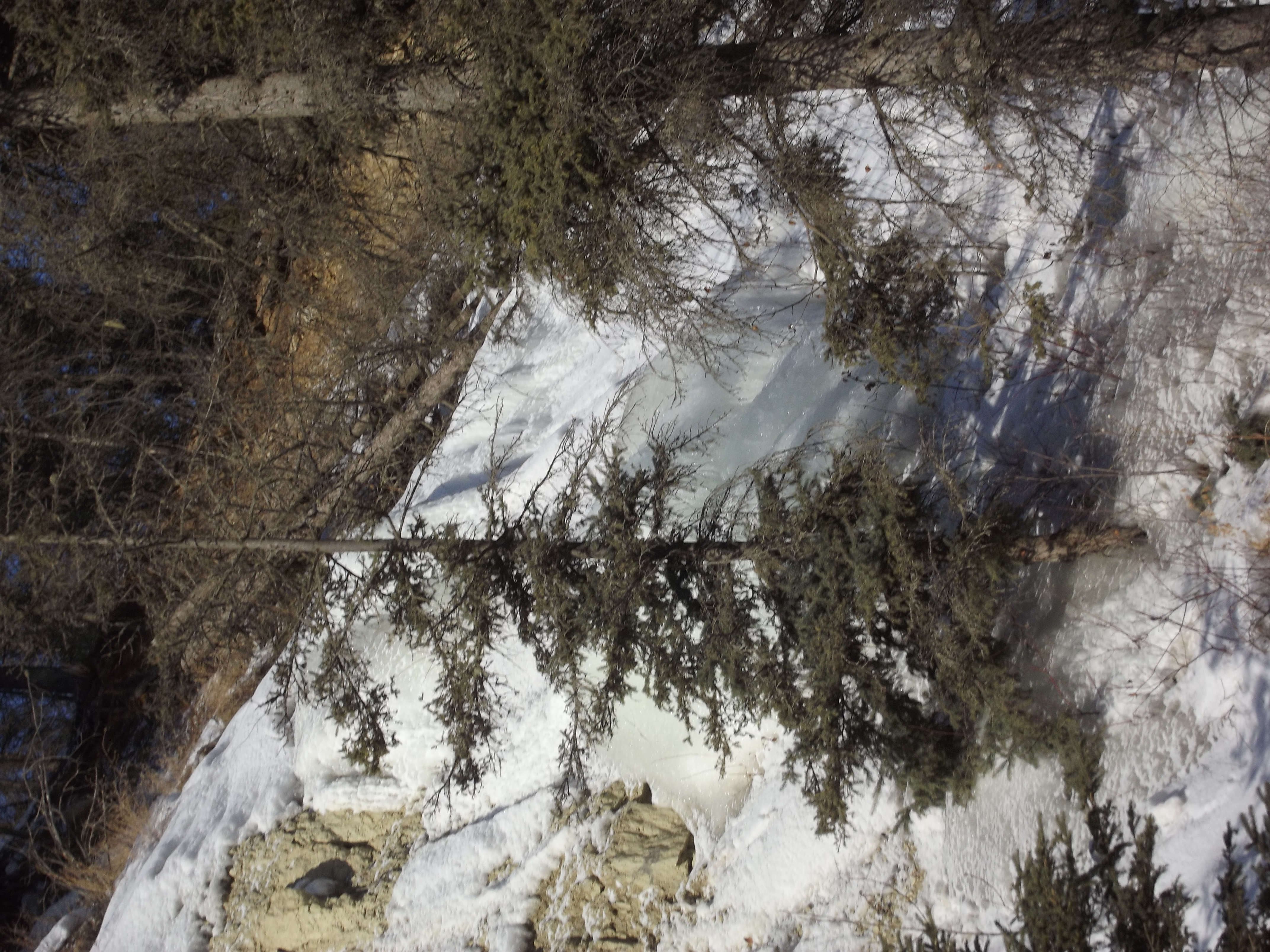
beaver creek
Hammerstone limestone quarry
beaver creek
DallasPhotos 010
Beaver creek

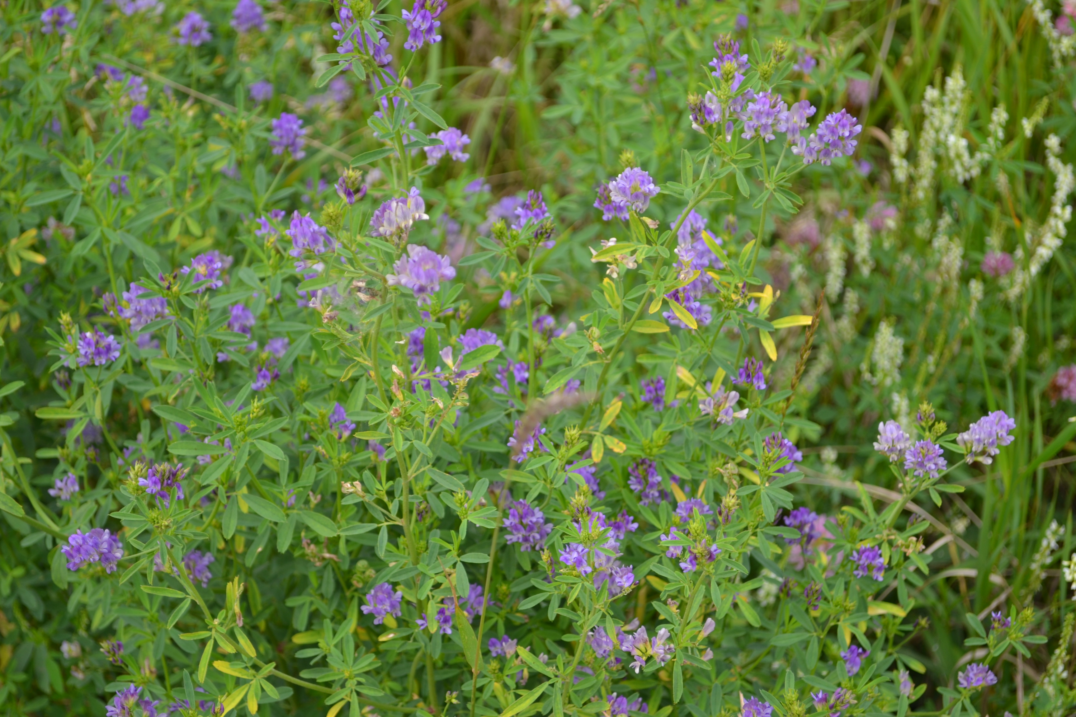
Ålbin
Bitumount 2015

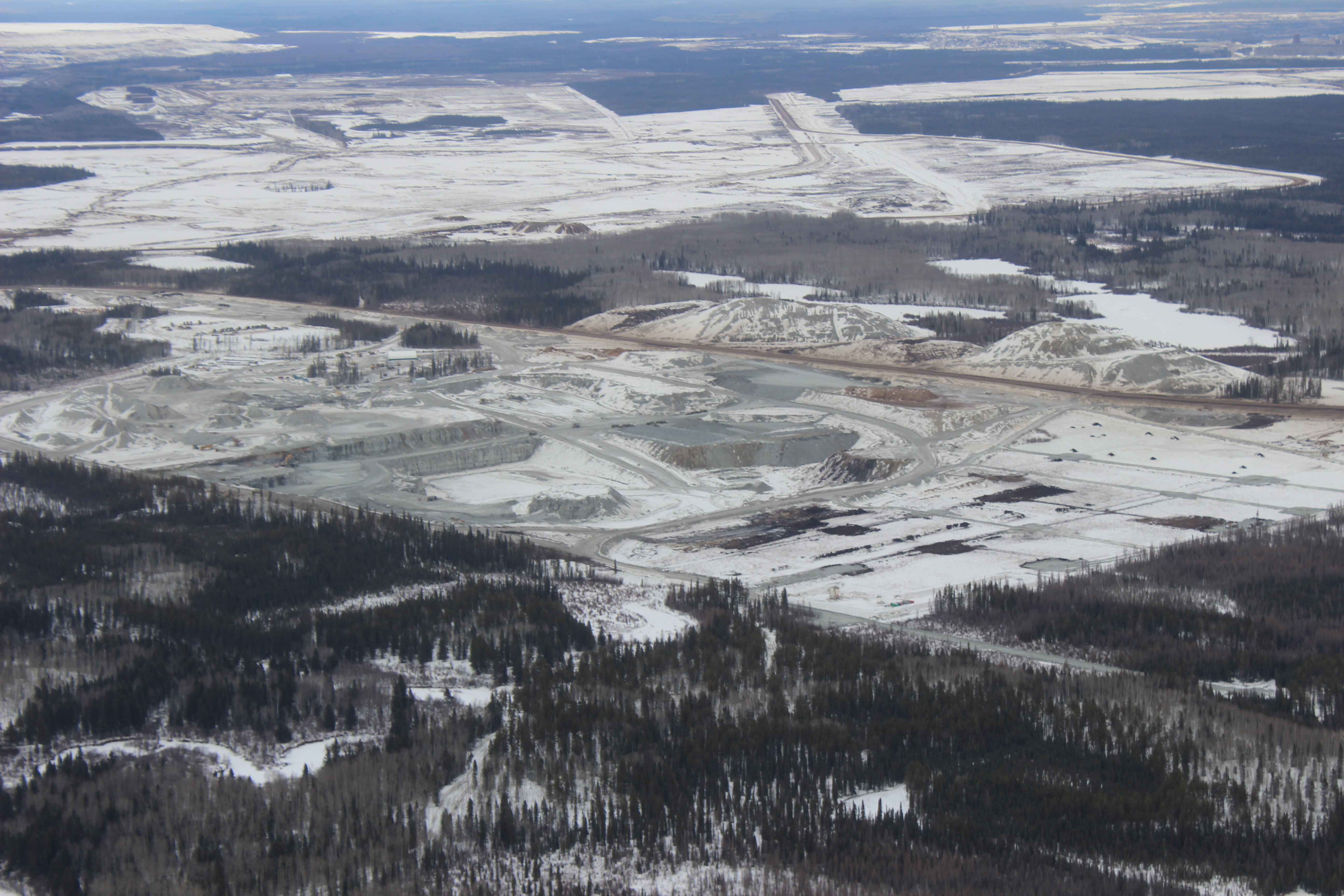
CNRL fort Mcmurray

CNRL fort Mcmurray
CNRL fort Mcmurray
CNRL fort Mcmurray

CNRL fort Mcmurray
MacKay River

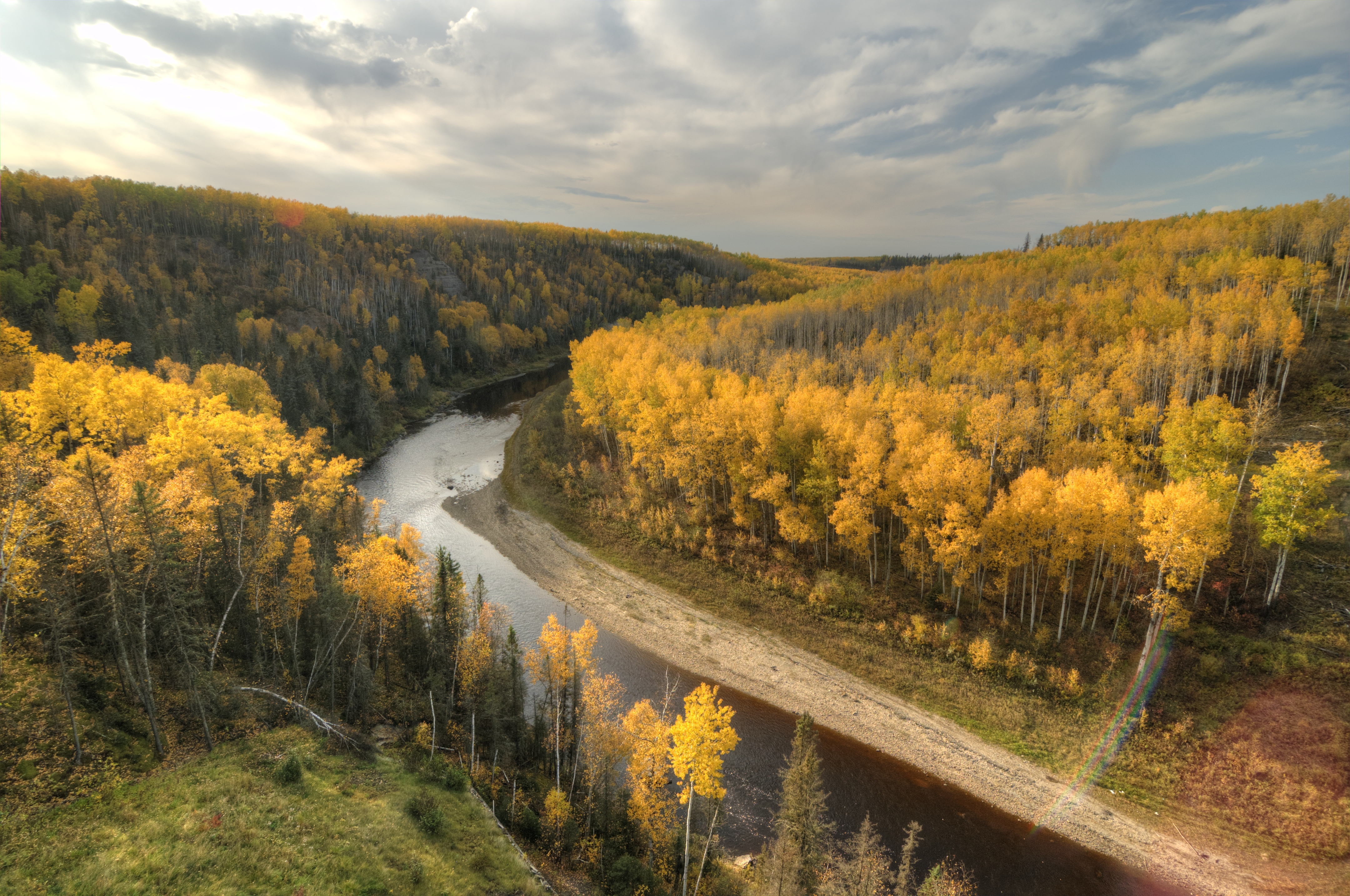
fall on the athabasca
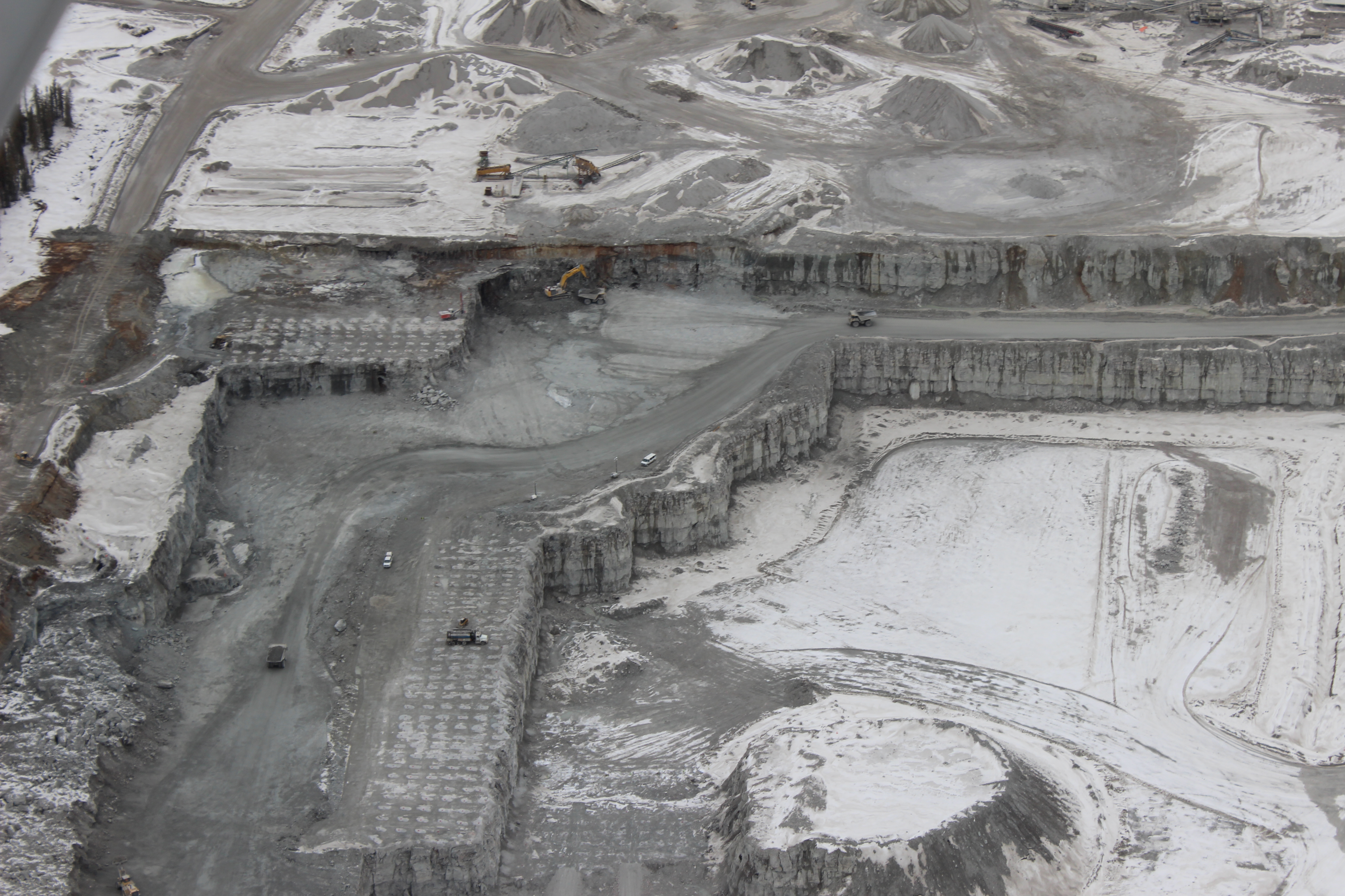
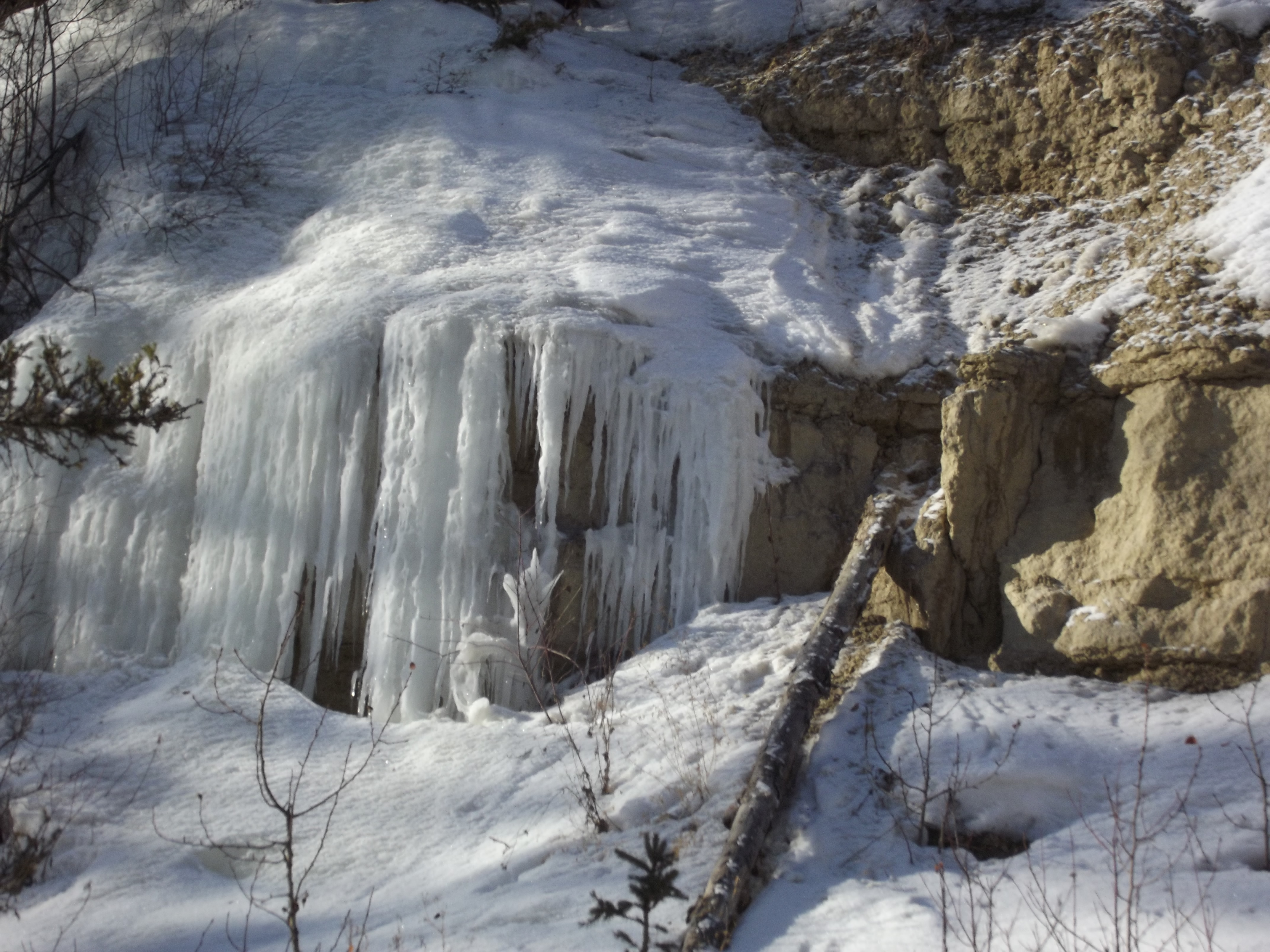
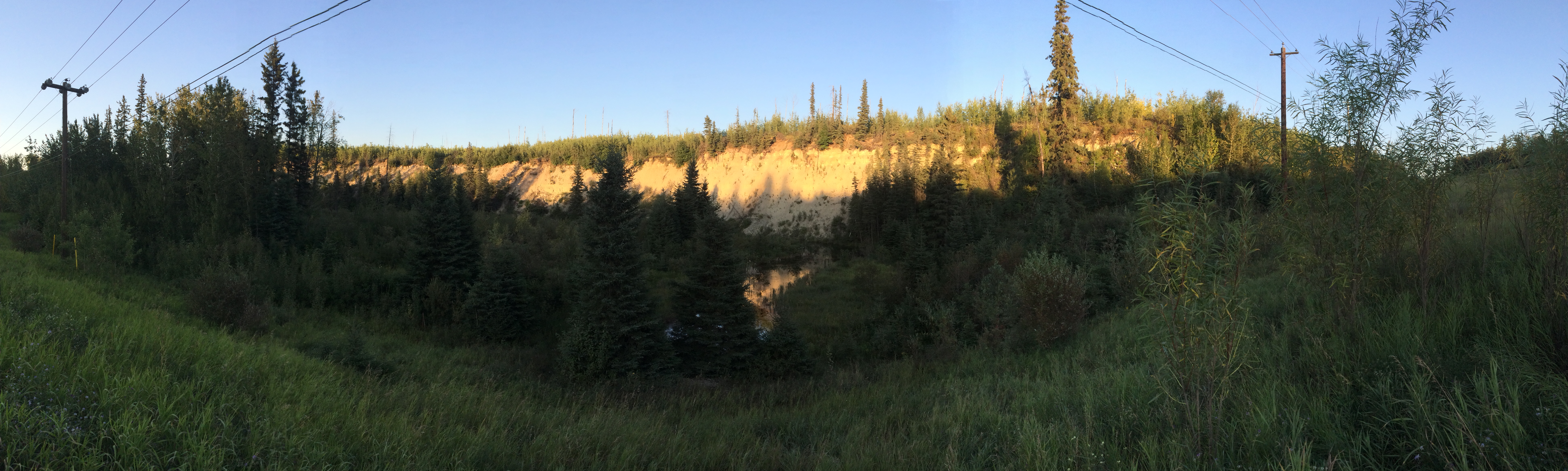
HAMMERSTONE LIMESTONE QUARRY
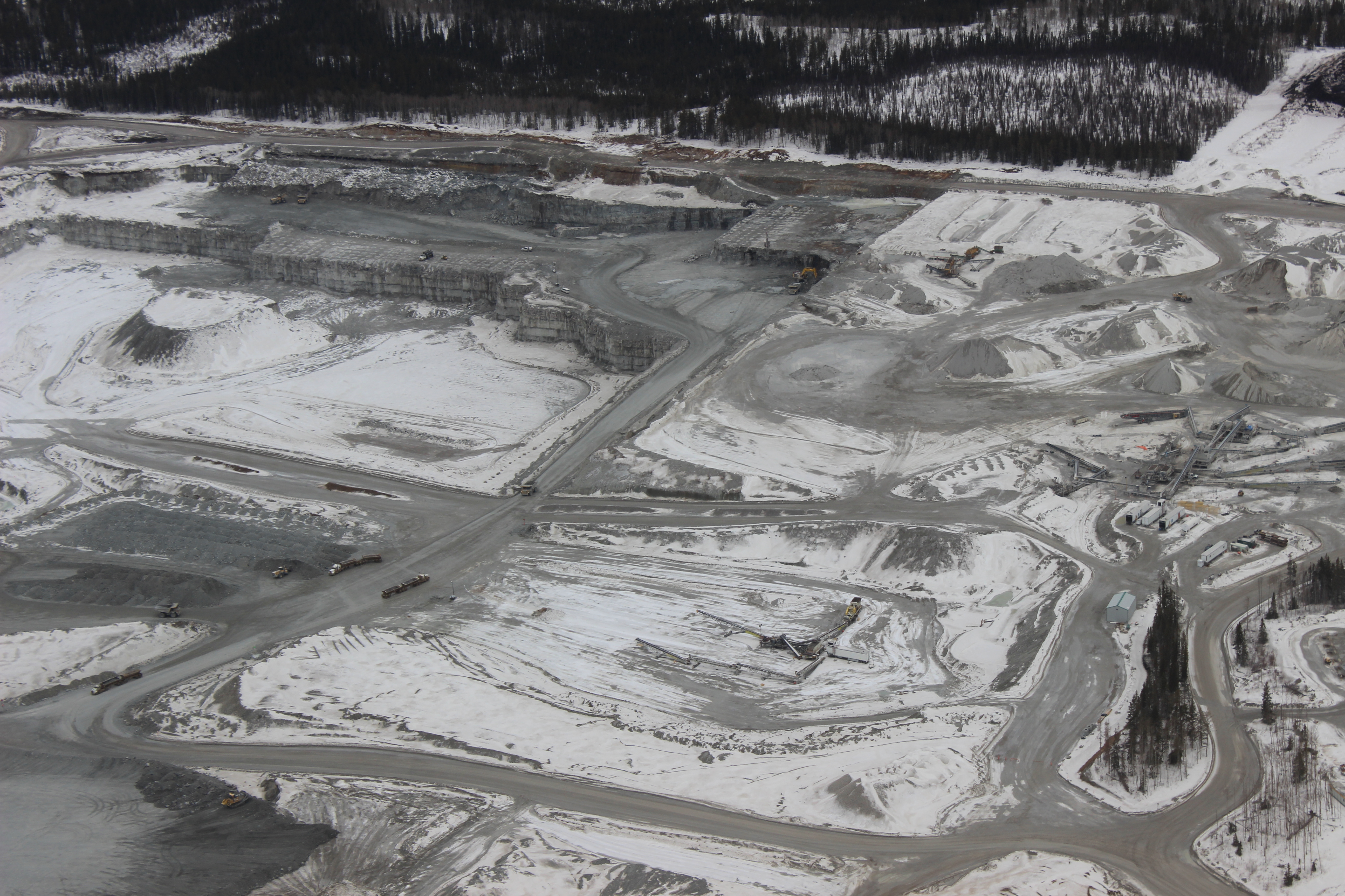
HAMMERSTONE LIMESTONE QUARRY
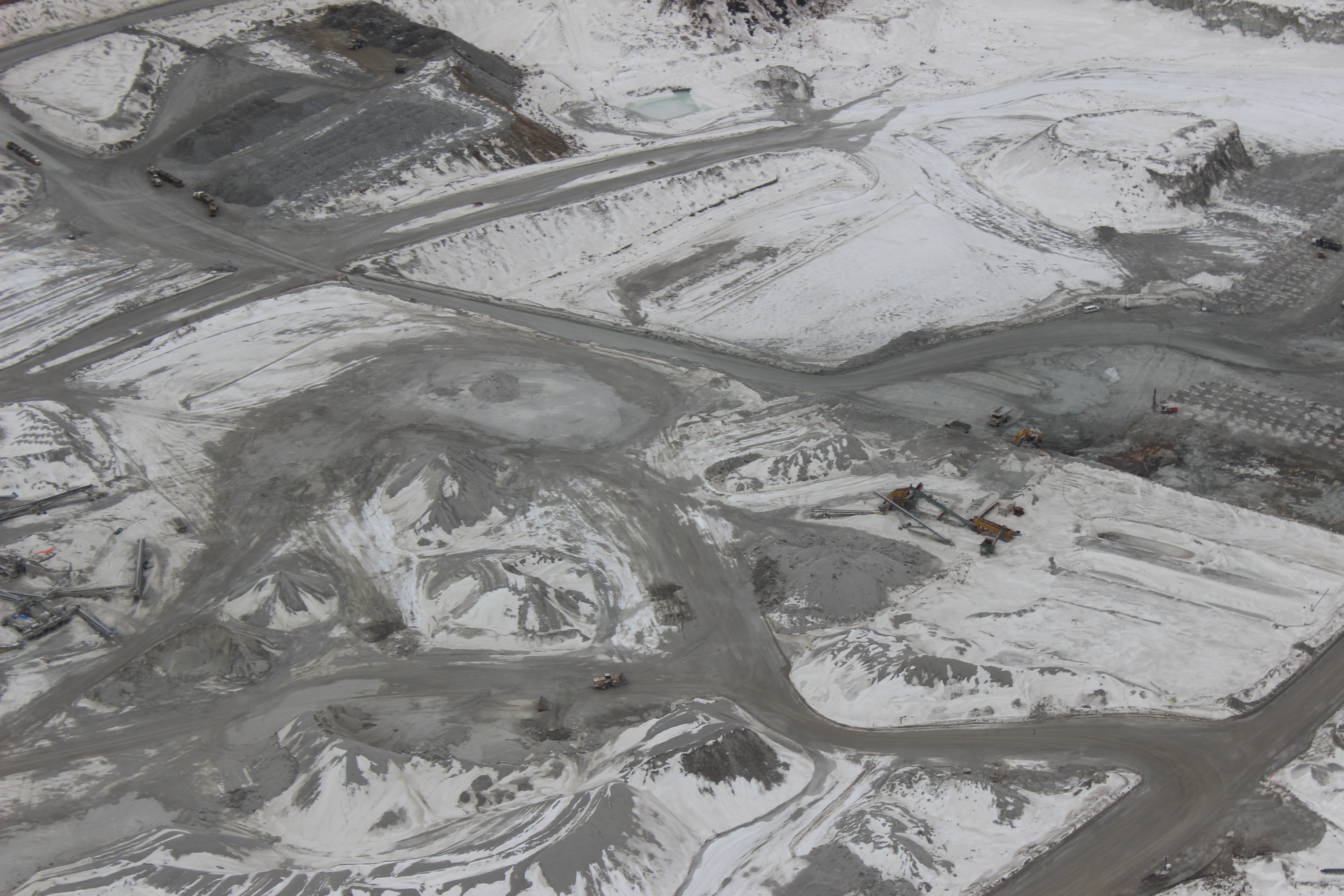
HAMMERSTONE LIMESTONE QUARRY

HAMMERSTONE LIMESTONE QUARRY
Beaver creek
Fort Mackay
Fort Mackay
Topographic Map of CNRL Horizon Road, CNRL Horizon Rd, Wood Buffalo, AB T0P, Canada
Find elevation by address:

Places near CNRL Horizon Road, CNRL Horizon Rd, Wood Buffalo, AB T0P, Canada:
Cnrl Horizon Highway
Mackay River
Cnrl Horizon Oil Sands
Bitumount
Fort Hills Plant
Syncrude Mildred Lake Site Entrance
Tar Island
Suncor
Base Plant Road
Rattlepan Creek Crescent
Comeau Crescent
223 Rattlepan Creek Crescent
100-347 Powder Dr
Timberlea
Fort Mackay Brion Energy
135c Sandpiper Rd
Thickwood Heights
Timberline Drive
Fort Mcmurray
Wood Buffalo
Recent Searches:
- Elevation of Luther Road, Luther Rd, Auburn, CA, USA
- Elevation of Unnamed Road, Respublika Severnaya Osetiya — Alaniya, Russia
- Elevation of Verkhny Fiagdon, North Ossetia–Alania Republic, Russia
- Elevation of F. Viola Hiway, San Rafael, Bulacan, Philippines
- Elevation of Herbage Dr, Gulfport, MS, USA
- Elevation of Lilac Cir, Haldimand, ON N3W 2G9, Canada
- Elevation of Harrod Branch Road, Harrod Branch Rd, Kentucky, USA
- Elevation of Wyndham Grand Barbados Sam Lords Castle All Inclusive Resort, End of Belair Road, Long Bay, Bridgetown Barbados
- Elevation of Iga Trl, Maggie Valley, NC, USA
- Elevation of N Co Rd 31D, Loveland, CO, USA