Elevation of CNRL Horizon Highway, CNRL Horizon Hwy, Wood Buffalo, AB T0P, Canada
Location: Canada > Alberta > Division No. 16 > Wood Buffalo >
Longitude: -111.72695
Latitude: 57.2430349
Elevation: 302m / 991feet
Barometric Pressure: 98KPa
Elevation Map:
Satellite Map:
Related Photos:
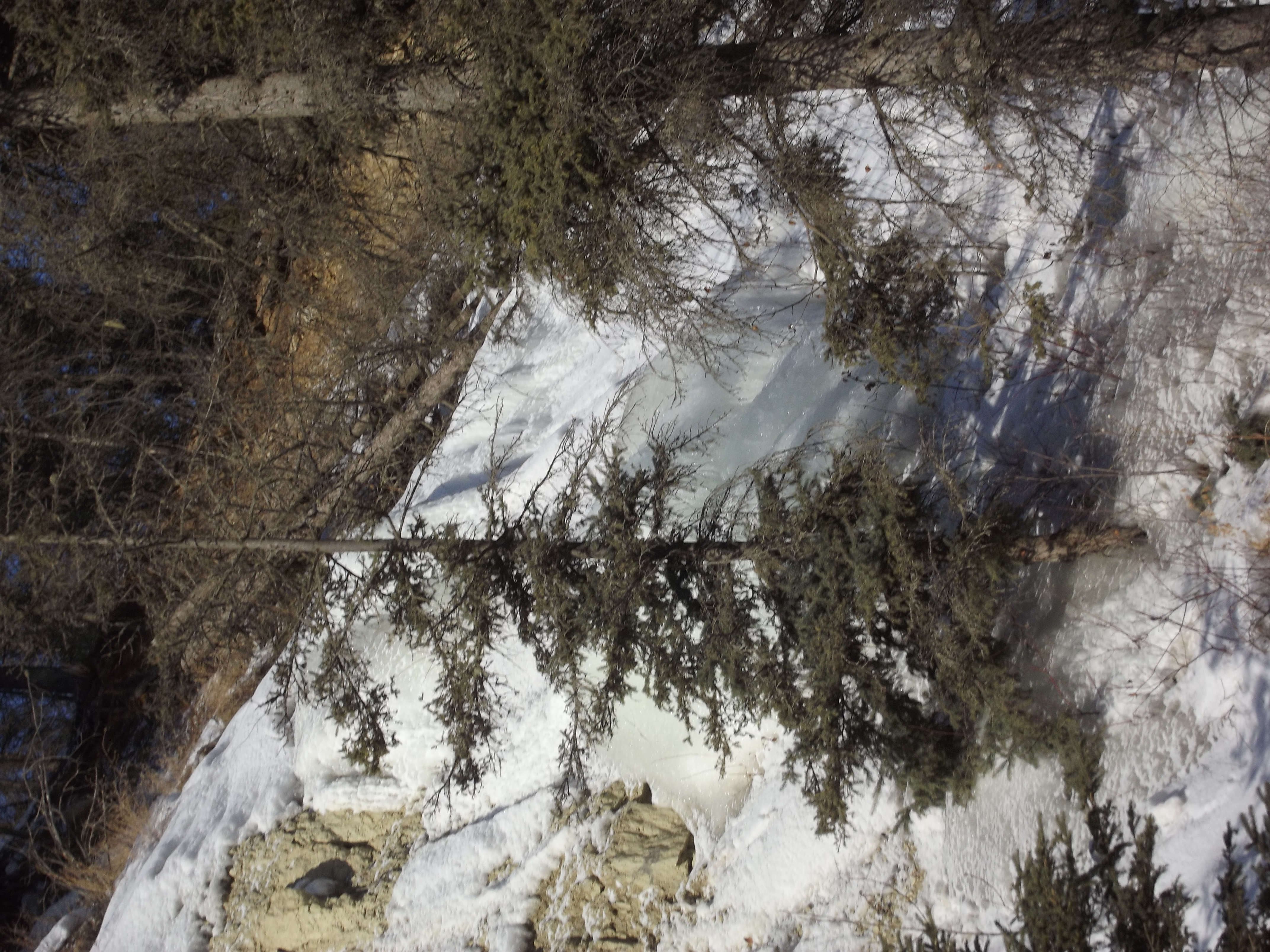
beaver creek
Hammerstone limestone quarry
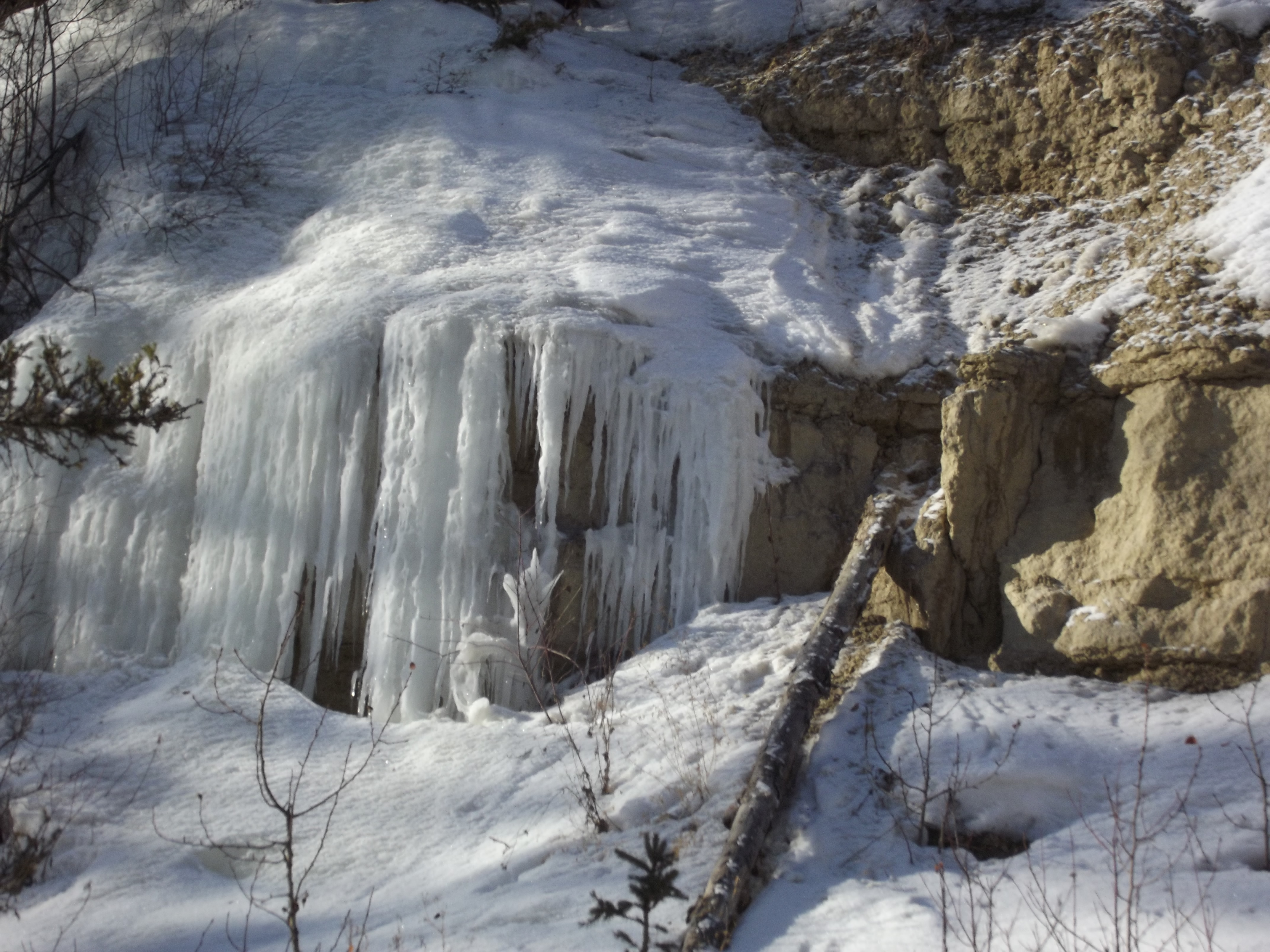
beaver creek
DallasPhotos 010
Beaver creek

Ålbin
Bitumount 2015
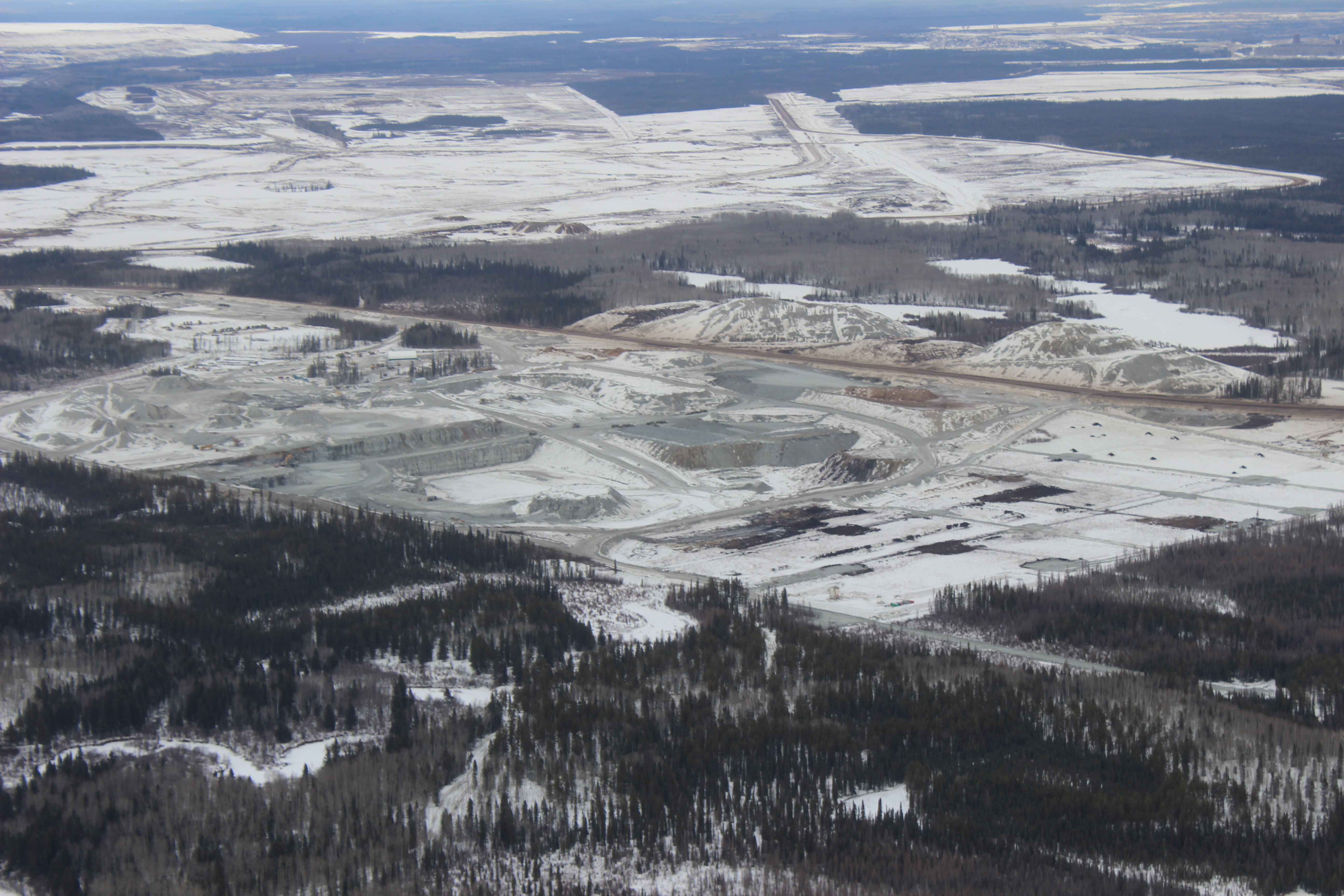
HAMMERSTONE LIMESTONE QUARRY
HAMMERSTONE LIMESTONE QUARRY
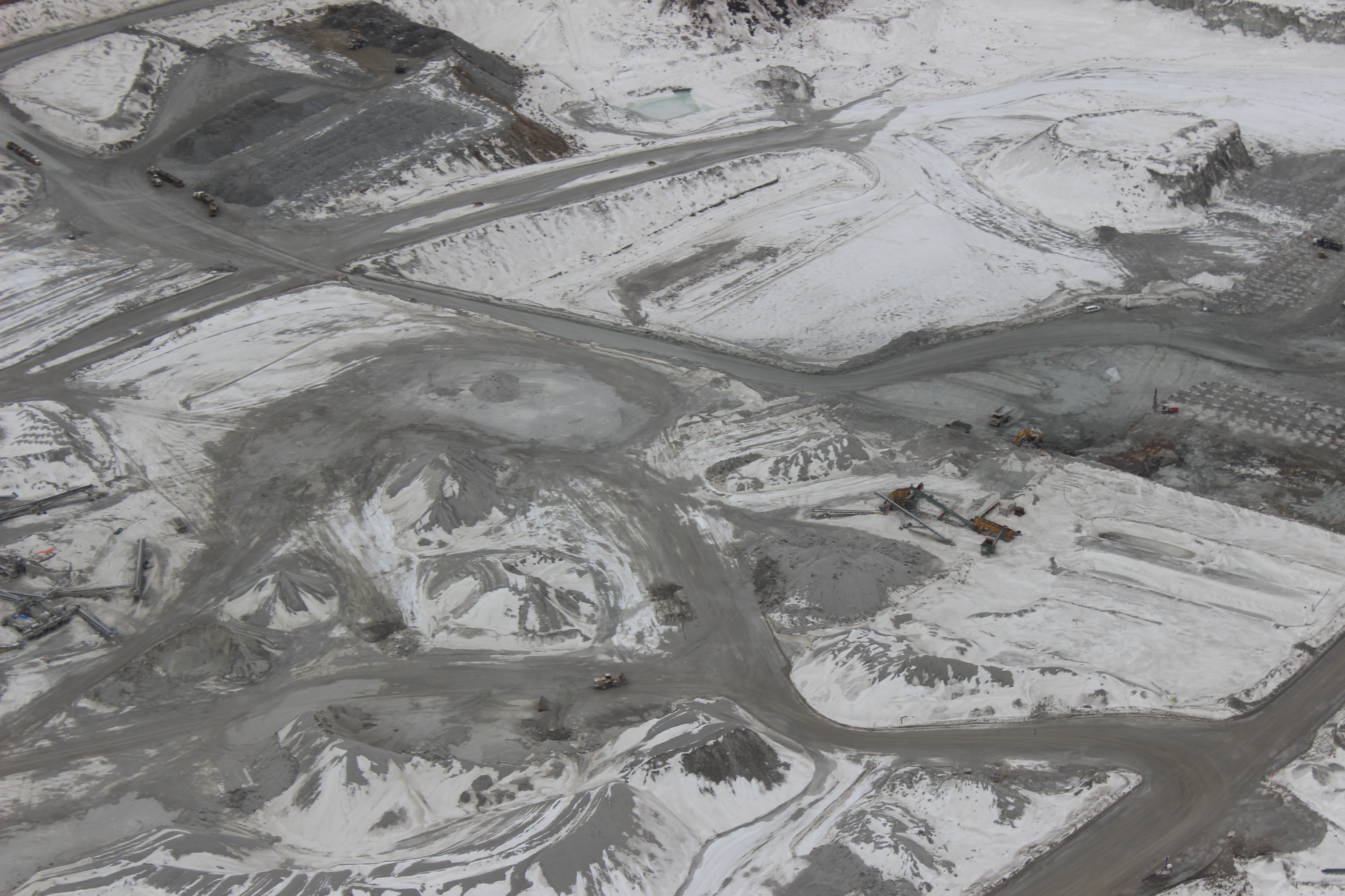
HAMMERSTONE LIMESTONE QUARRY

HAMMERSTONE LIMESTONE QUARRY
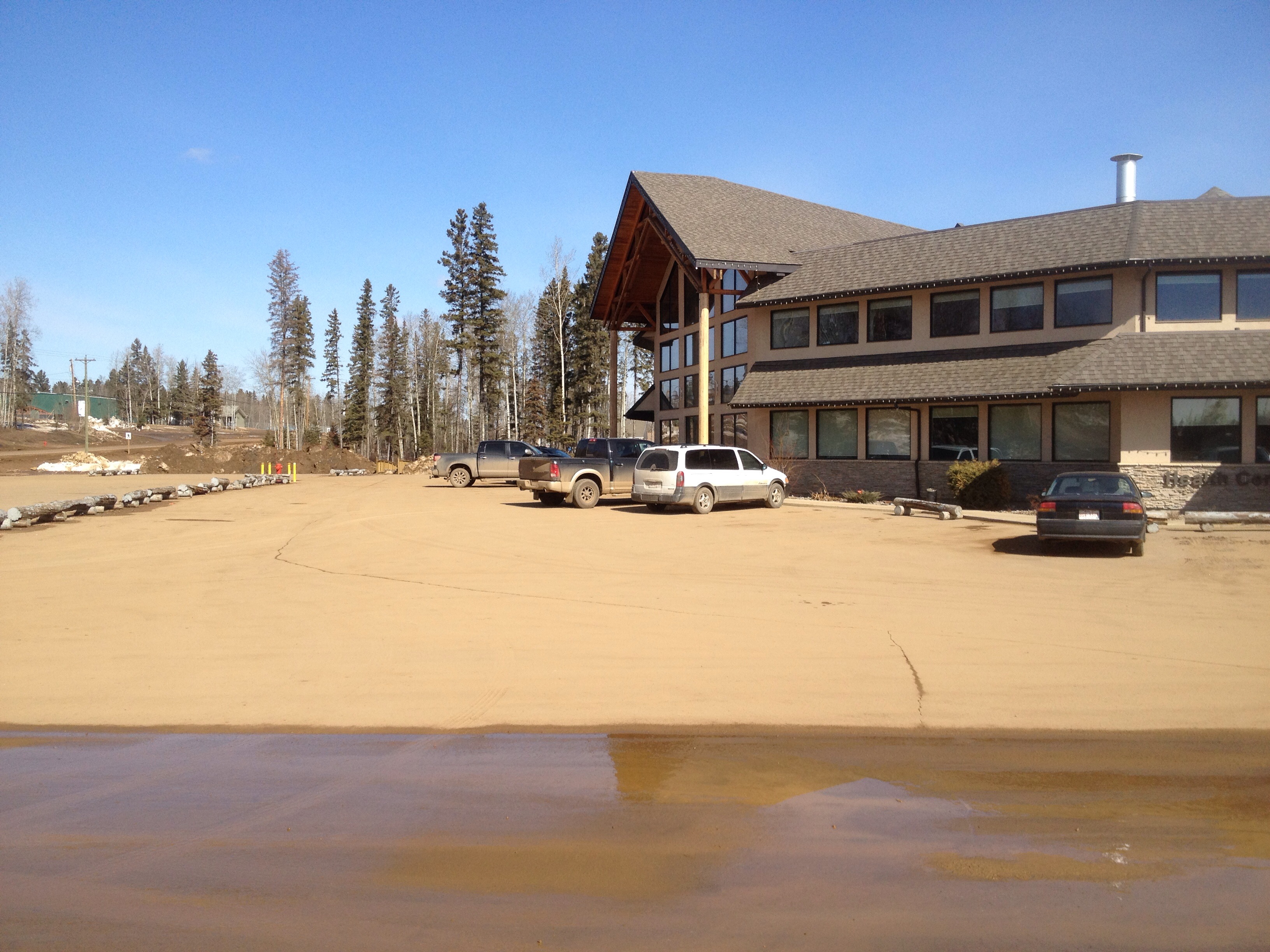
CNRL fort Mcmurray

CNRL fort Mcmurray
CNRL fort Mcmurray
CNRL fort Mcmurray

CNRL fort Mcmurray
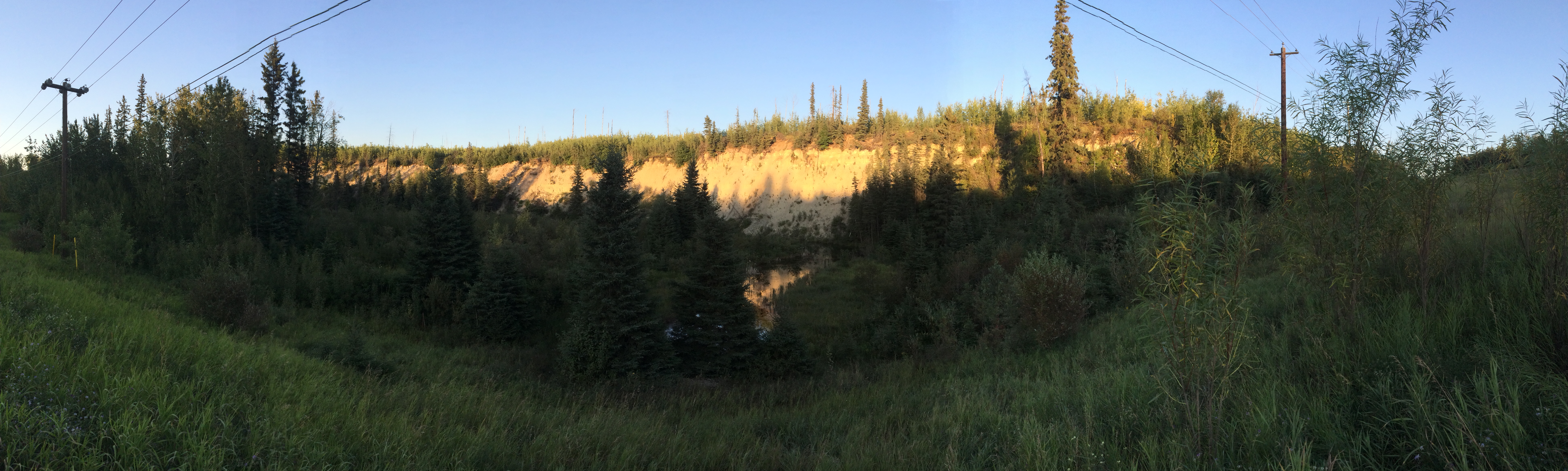
Beaver creek
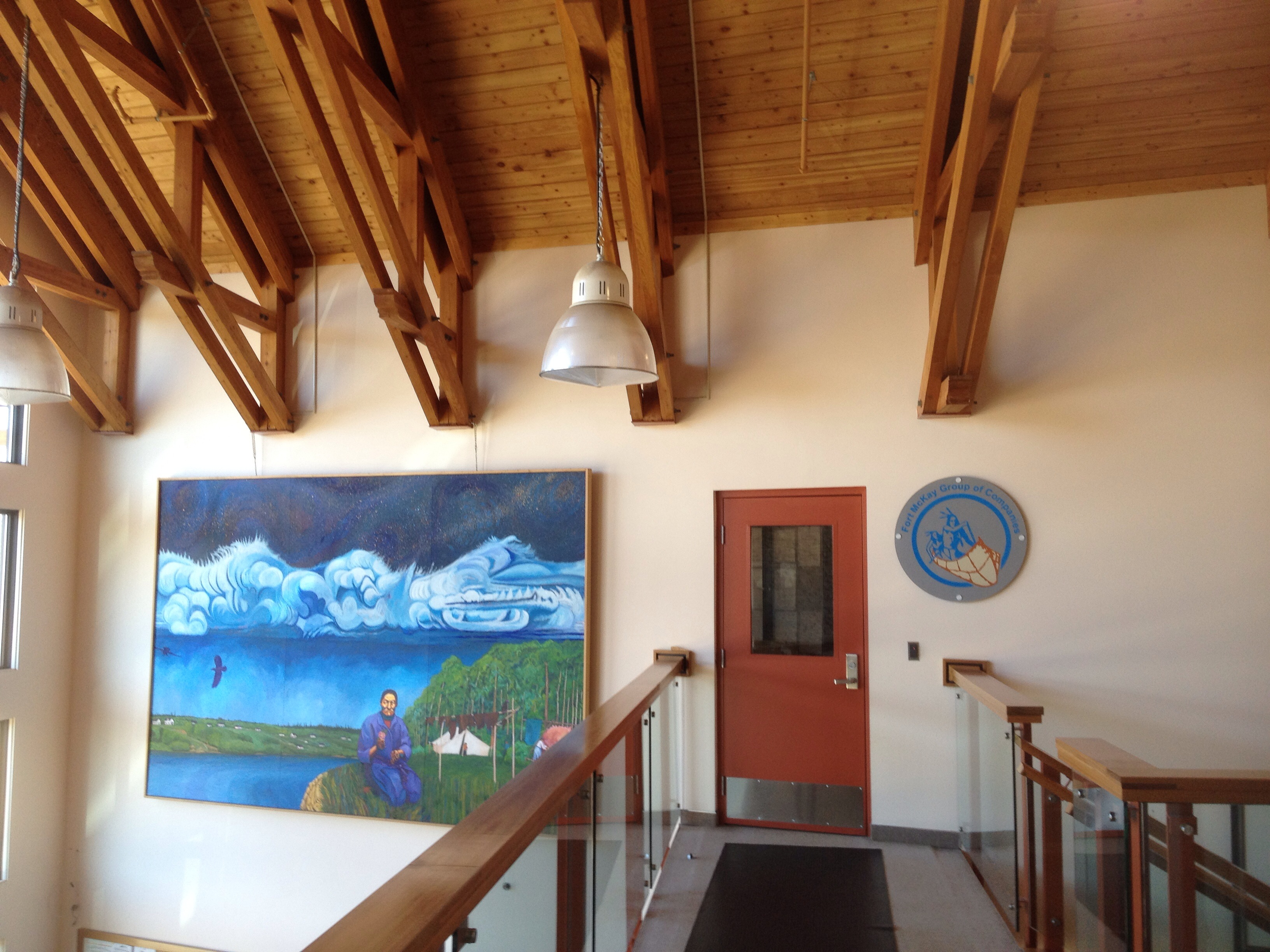
Fort Mackay
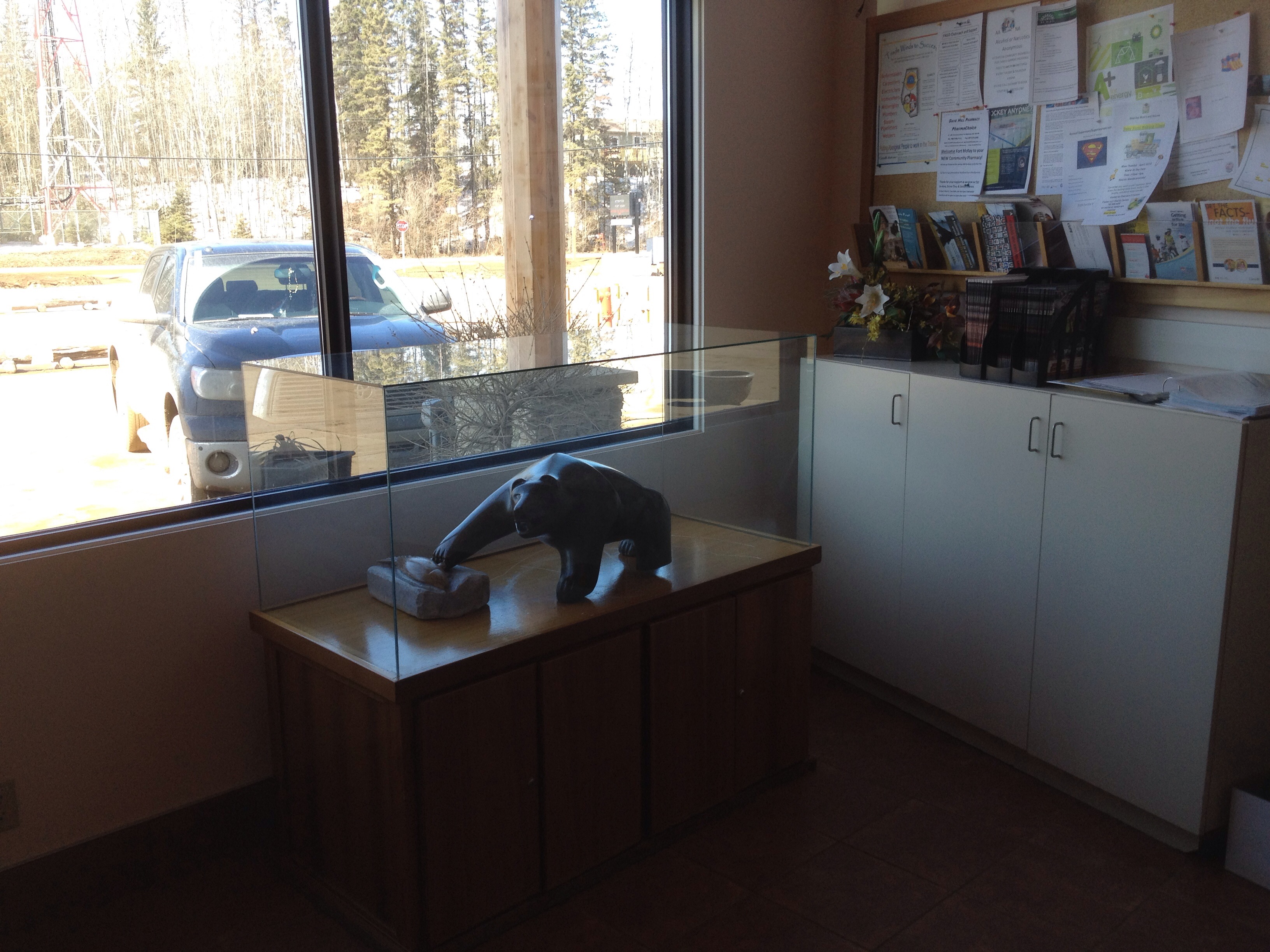
Fort Mackay

Fort Mackay

Fort Mackey
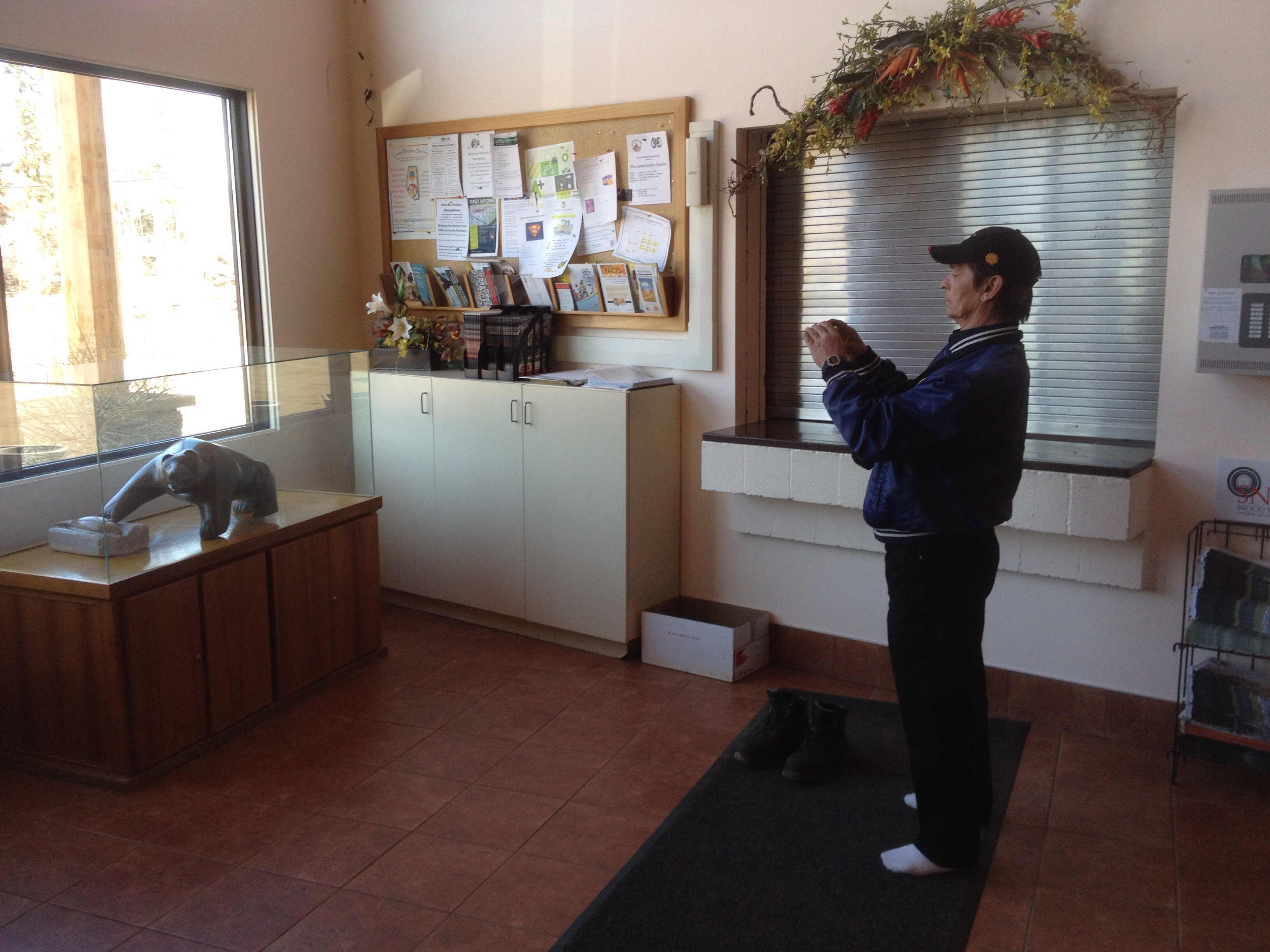
Fort Mackay

Fort Mackay
Fort Mackay
Topographic Map of CNRL Horizon Highway, CNRL Horizon Hwy, Wood Buffalo, AB T0P, Canada
Find elevation by address:

Places near CNRL Horizon Highway, CNRL Horizon Hwy, Wood Buffalo, AB T0P, Canada:
Cnrl Horizon Road
Mackay River
Cnrl Horizon Oil Sands
Bitumount
Fort Hills Plant
Syncrude Mildred Lake Site Entrance
Tar Island
Suncor
Base Plant Road
Rattlepan Creek Crescent
Comeau Crescent
223 Rattlepan Creek Crescent
100-347 Powder Dr
Timberlea
Fort Mackay Brion Energy
135c Sandpiper Rd
Thickwood Heights
Timberline Drive
Fort Mcmurray
Wood Buffalo
Recent Searches:
- Elevation of Tenjo, Cundinamarca, Colombia
- Elevation of Côte-des-Neiges, Montreal, QC H4A 3J6, Canada
- Elevation of Bobcat Dr, Helena, MT, USA
- Elevation of Zu den Ihlowbergen, Althüttendorf, Germany
- Elevation of Badaber, Peshawar, Khyber Pakhtunkhwa, Pakistan
- Elevation of SE Heron Loop, Lincoln City, OR, USA
- Elevation of Slanický ostrov, 01 Námestovo, Slovakia
- Elevation of Spaceport America, Co Rd A, Truth or Consequences, NM, USA
- Elevation of Warwick, RI, USA
- Elevation of Fern Rd, Whitmore, CA, USA