Elevation of Taneum Campground, Thorp, WA, USA
Location: United States > Washington > Kittitas County > Thorp >
Longitude: -120.85757
Latitude: 47.1081768
Elevation: 744m / 2441feet
Barometric Pressure: 93KPa
Elevation Map:
Satellite Map:
Related Photos:
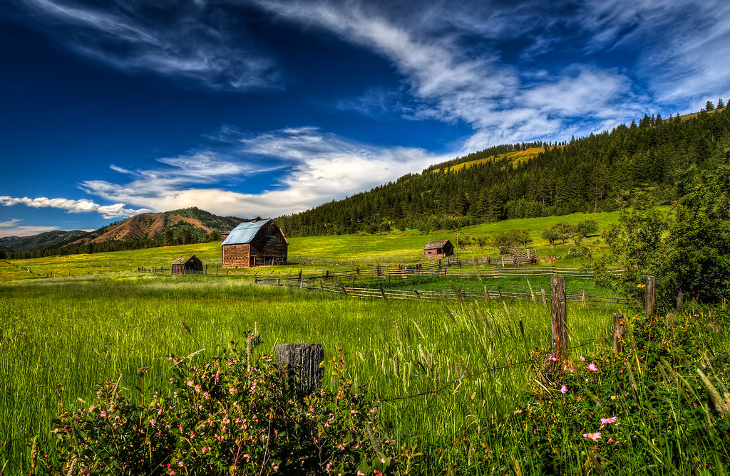
Summer Pastures HDR
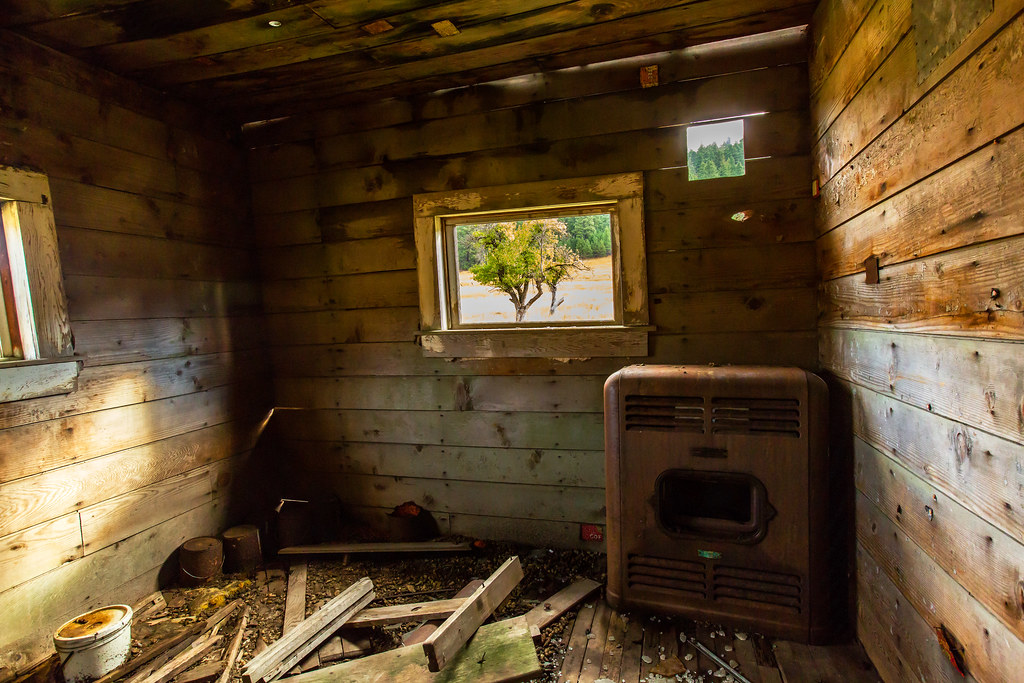
Big Stove, Little House
Views of Ellensburg, Kittitas County, Washington
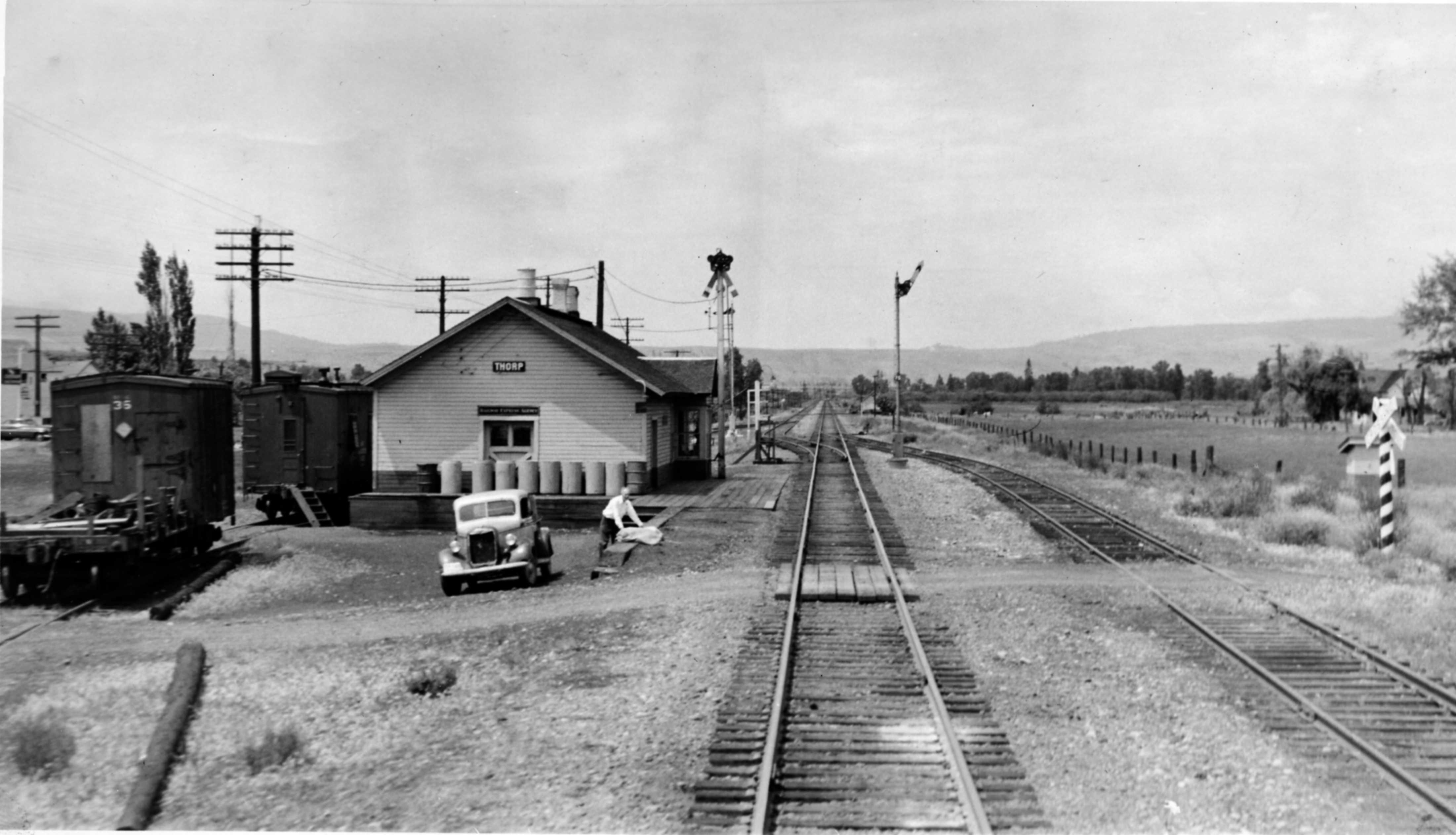
Northern Pacific Depot, Thorp, Washington, early 1950's

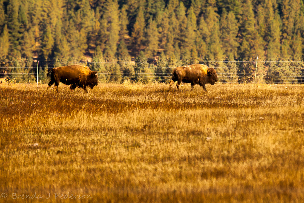
A lot of Elk (Best viewed large!)
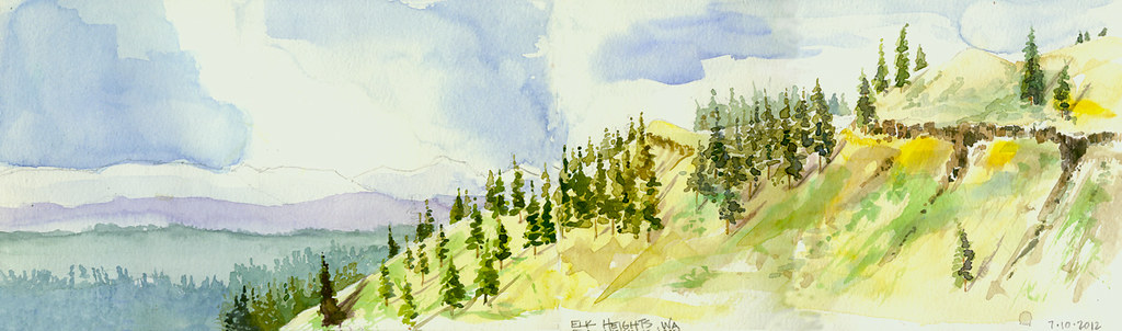
Elk Heights, Washington
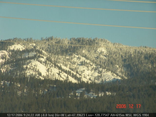
Stuart Range
LV0901DSC00283.JPG
LV0897DSC00279.JPG
LV0891DSC00273.JPG

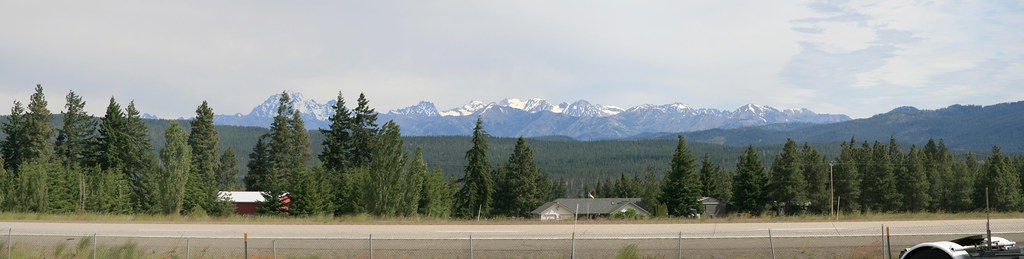
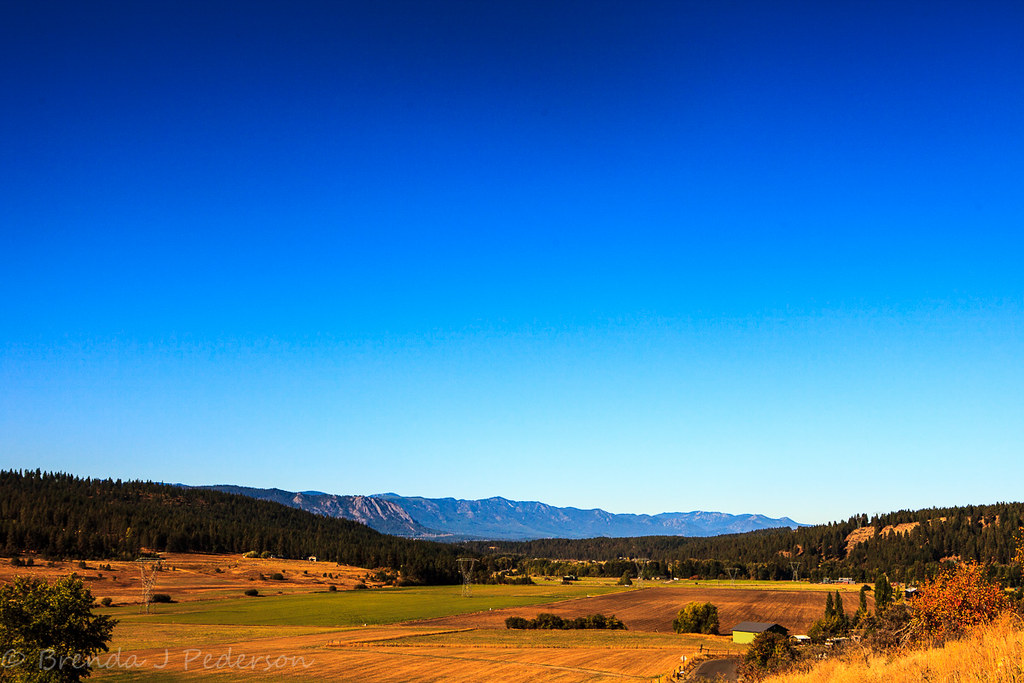
Ranch with view of windfarms and Cascade Mountain Range, Ell
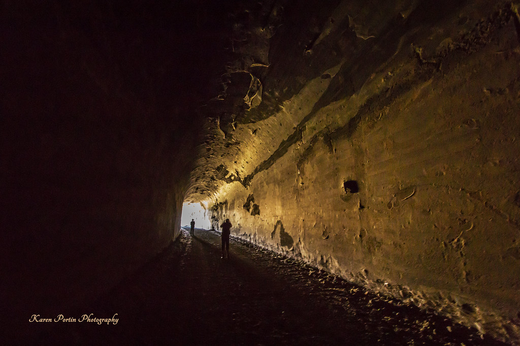
Tunnel View
LV0895DSC00277.JPG
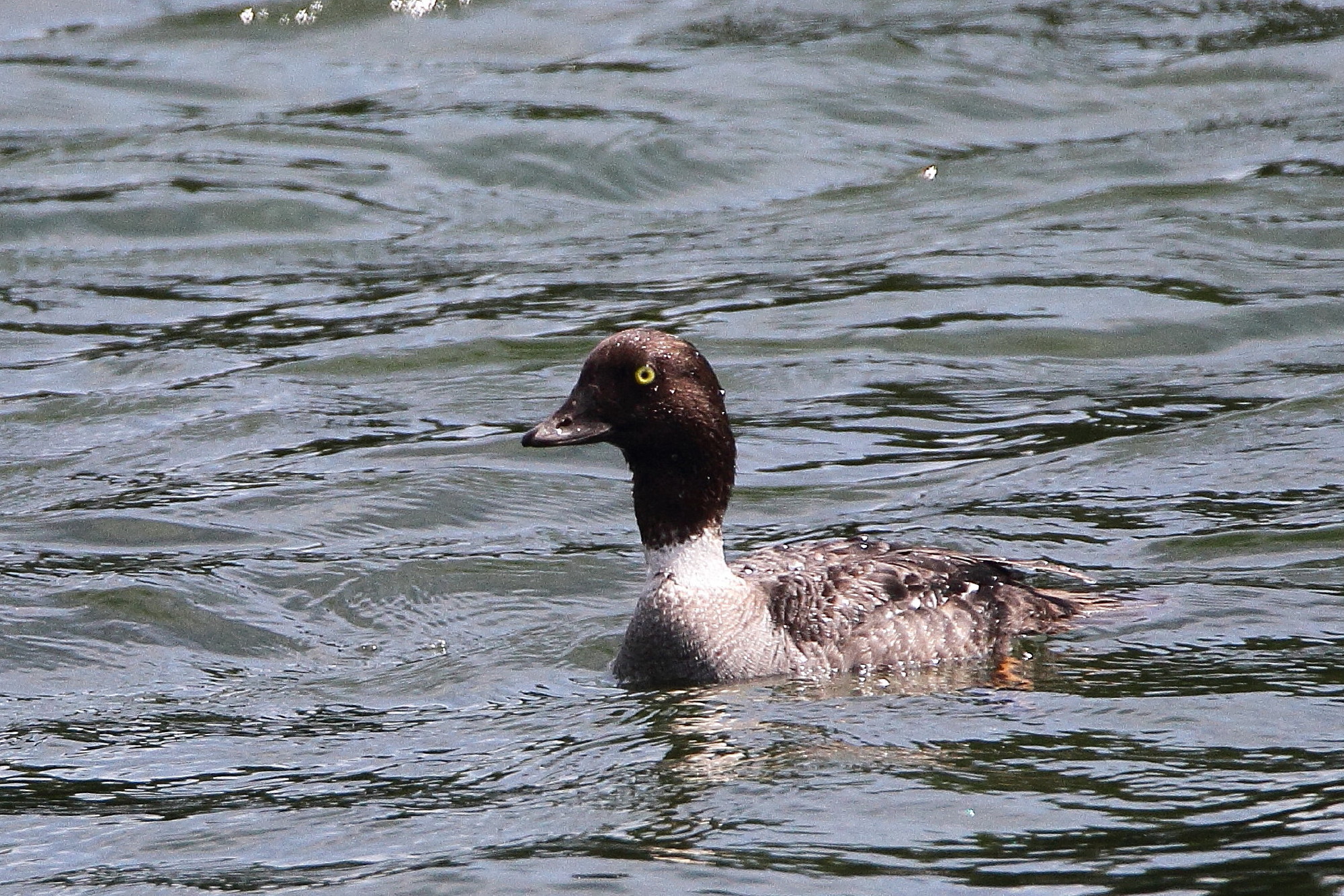
Common goldeneye, Bucephala clangula
LV0900DSC00282.JPG
LV0896DSC00278.JPG
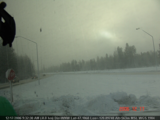
Indian John Hill Rest Area
One of my favorite road views...Elk Heights WA off I90. #roadtripjones

Lunch Time View
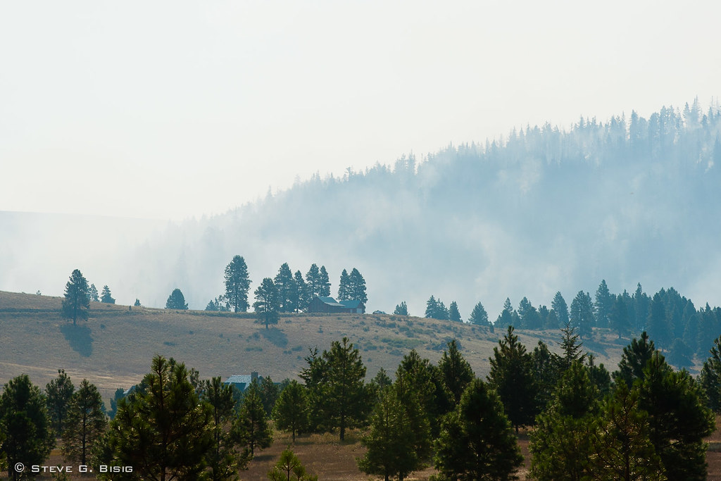
Smoke from Fire at Hidden Valley - Taylor Bridge Fire 8/17/2012
LV0890DSC00272.JPG
Yakima River Sunbreak
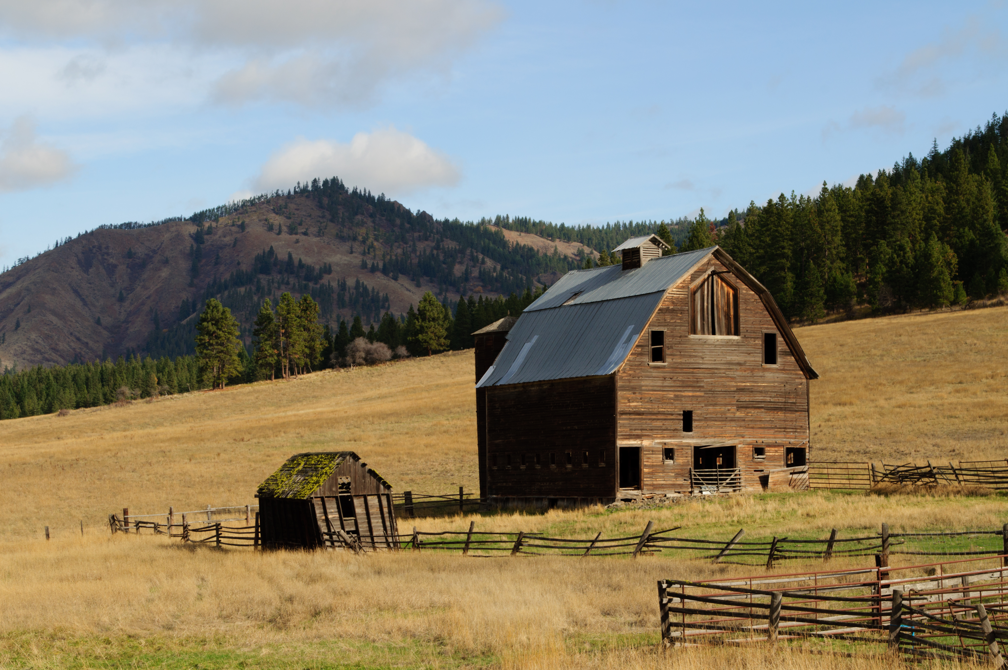
Ellensburg Barn 2
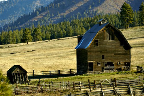
The Barn

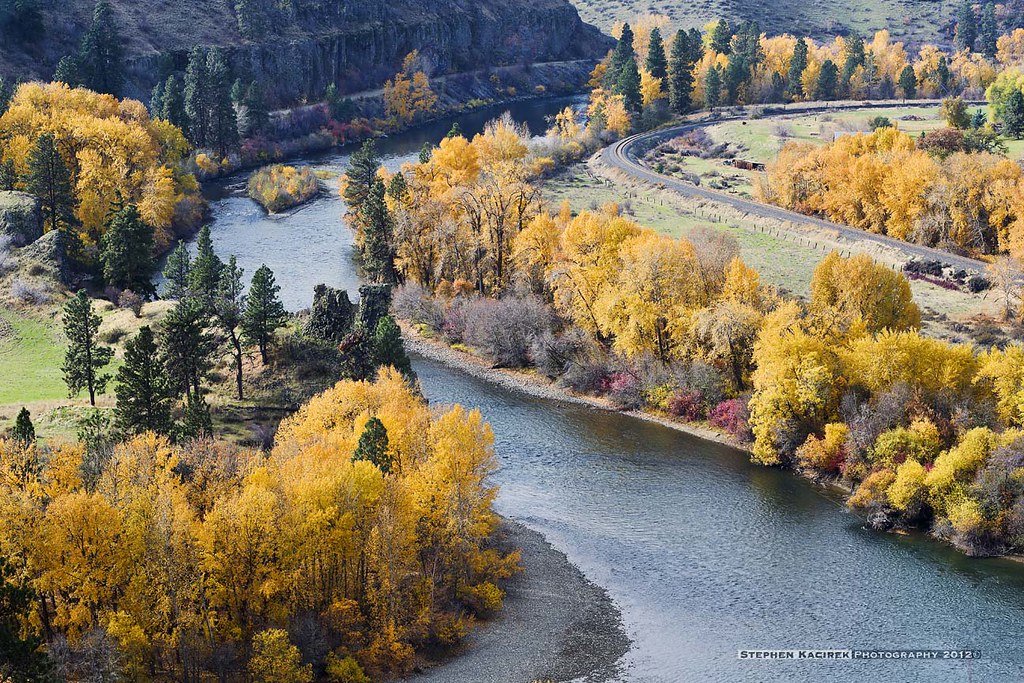
Teanaway River
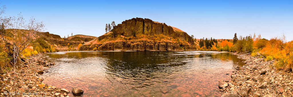
A Bend in the River

On the road

Bull Frog Pond, Kittitas County, Washington, October 2013
Napa valley
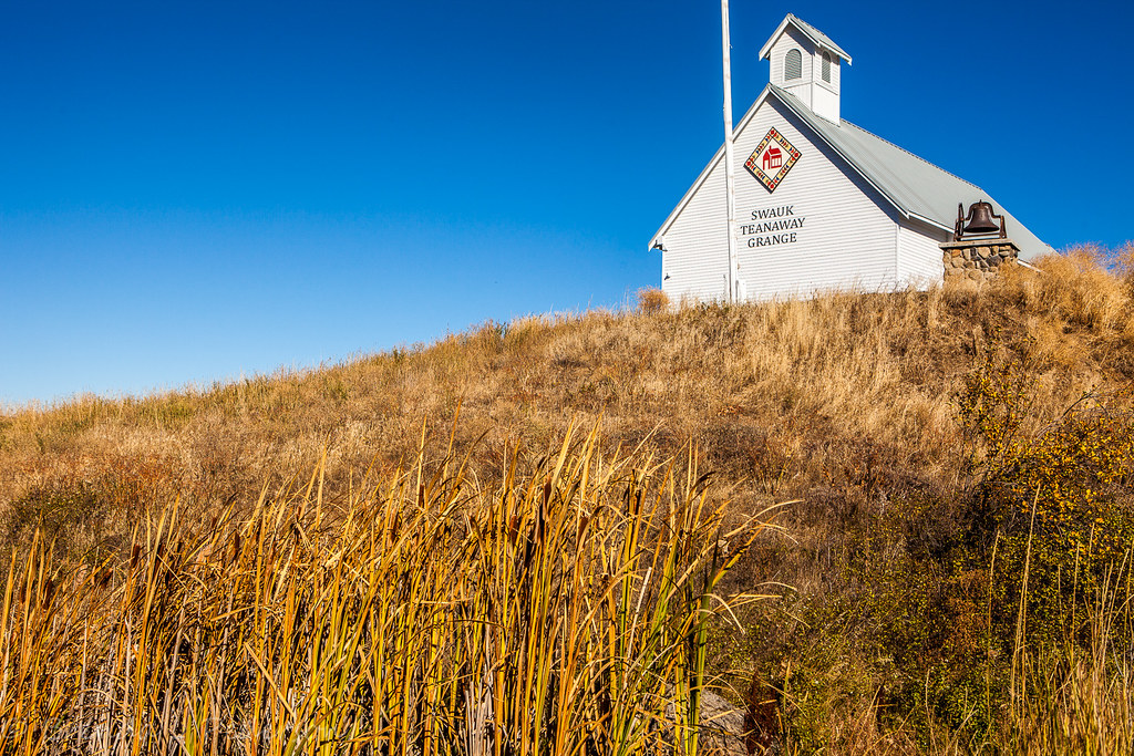
LIttle schoolhouse on the prarie
Over Hill and Dale
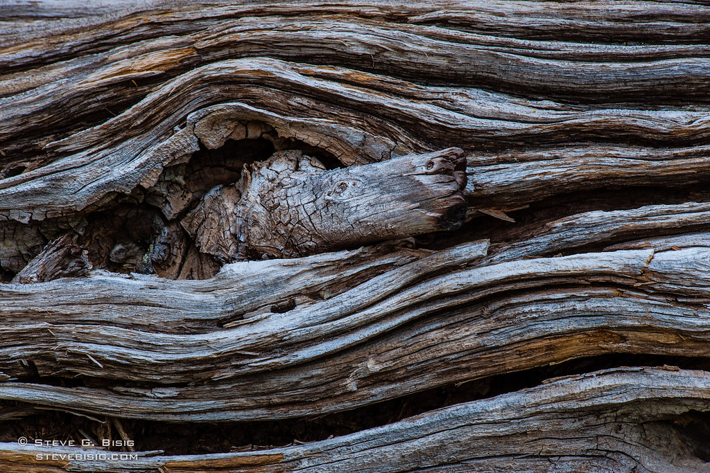
Wavy Log
Give me a home
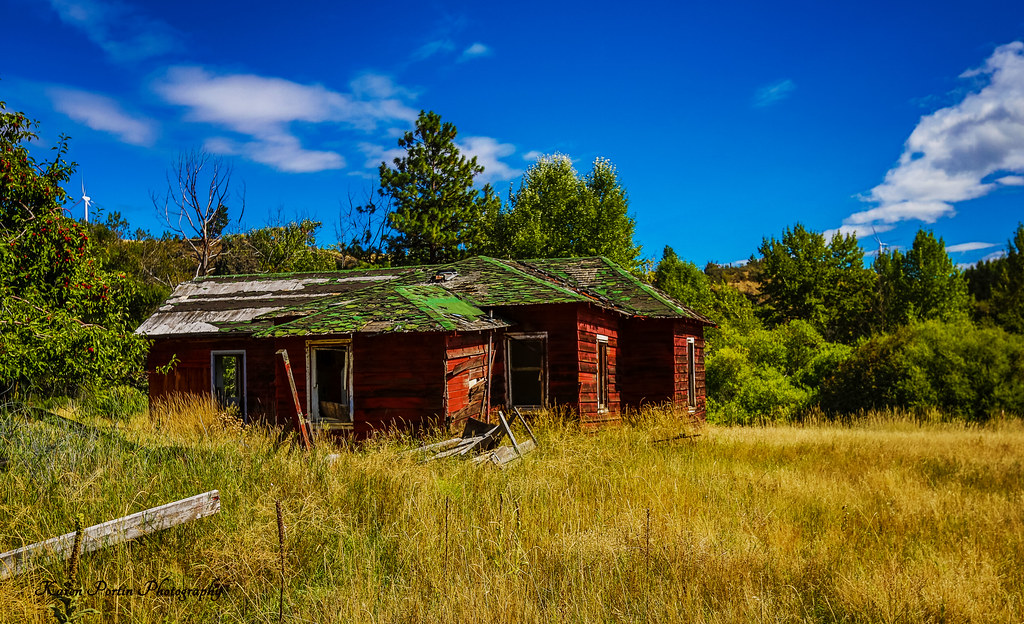
A Dream Gone Bad
Ridge and Sky

In the distance.
IMG00134-20100102-1121
DSC_3084-Edit.jpg
Old Barn/ Windmill Garden
Canola fields
070417_23535.jpg
Topographic Map of Taneum Campground, Thorp, WA, USA
Find elevation by address:

Places near Taneum Campground, Thorp, WA, USA:
381 Pumphouse Hill Dr
80 Skull Springs Rd
Sky Meadows Ranch
Taneum Creek
170 Casassa Rd
1361 Lambert Rd
691 Morrison Canyon Ln
Kittitas County
16170 Manastash Rd
Teanaway Road North Fork
Main St, Thorp, WA, USA
Thorp
440 Marion Canyon Rd
Red Top Lookout
10350 Us-97
Liberty
Mineral Springs Resort
1450 Harkness Rd
140 Williams Creek Rd
463 Pheasant Ln
Recent Searches:
- Elevation of Elwyn Dr, Roanoke Rapids, NC, USA
- Elevation of Congressional Dr, Stevensville, MD, USA
- Elevation of Bellview Rd, McLean, VA, USA
- Elevation of Stage Island Rd, Chatham, MA, USA
- Elevation of Shibuya Scramble Crossing, 21 Udagawacho, Shibuya City, Tokyo -, Japan
- Elevation of Jadagoniai, Kaunas District Municipality, Lithuania
- Elevation of Pagonija rock, Kranto 7-oji g. 8"N, Kaunas, Lithuania
- Elevation of Co Rd 87, Jamestown, CO, USA
- Elevation of Tenjo, Cundinamarca, Colombia
- Elevation of Côte-des-Neiges, Montreal, QC H4A 3J6, Canada