Elevation of Lambert Rd, Cle Elum, WA, USA
Location: United States > Washington > Kittitas County > Cle Elum >
Longitude: -120.83302
Latitude: 47.175357
Elevation: 559m / 1834feet
Barometric Pressure: 95KPa
Elevation Map:
Satellite Map:
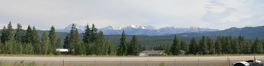
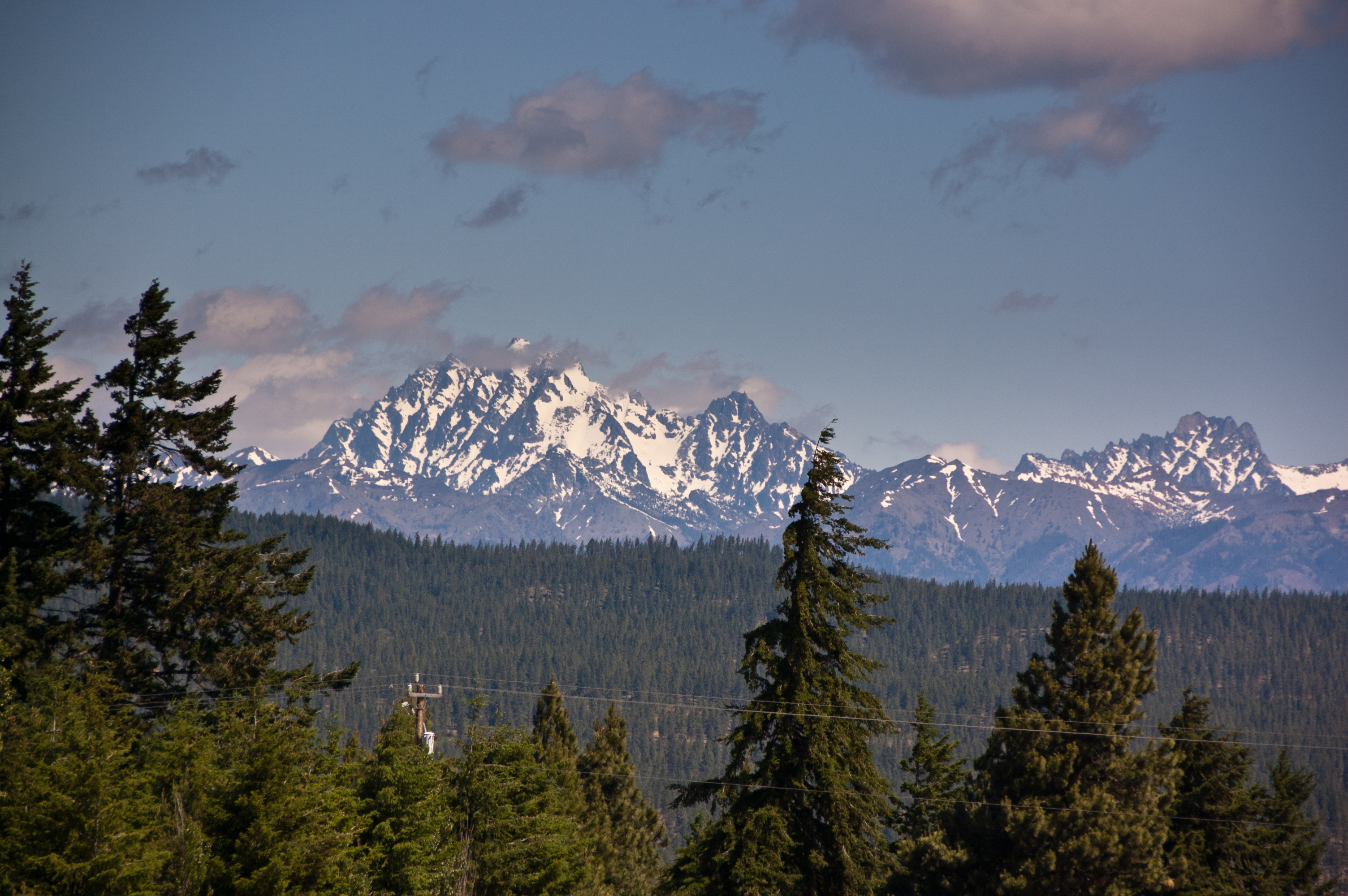
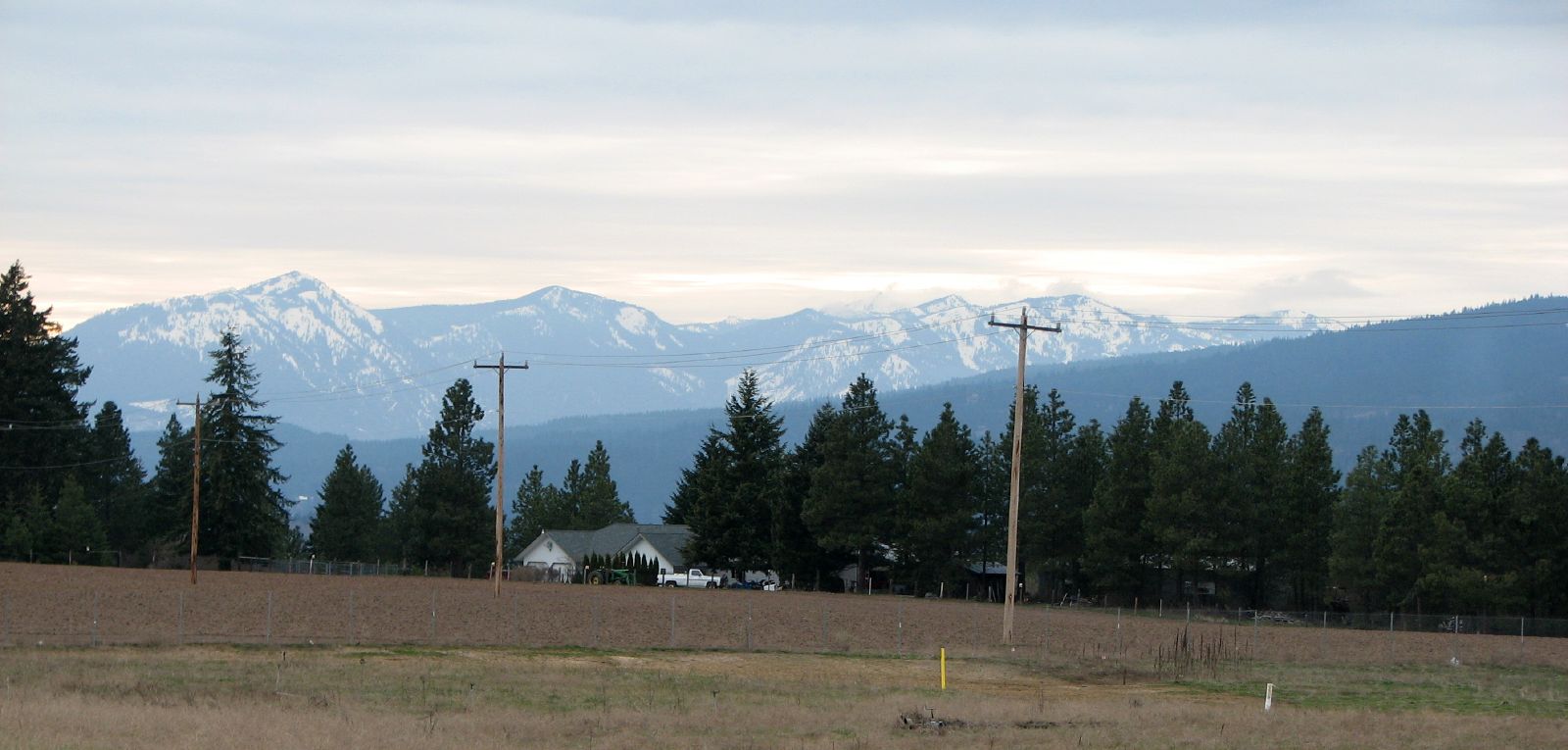
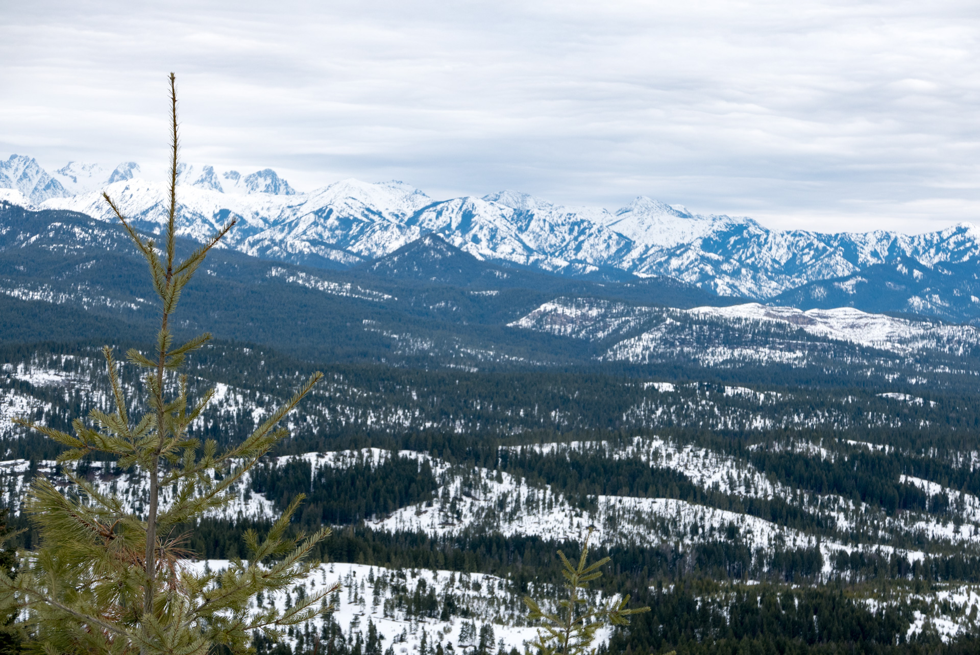
Related Photos:

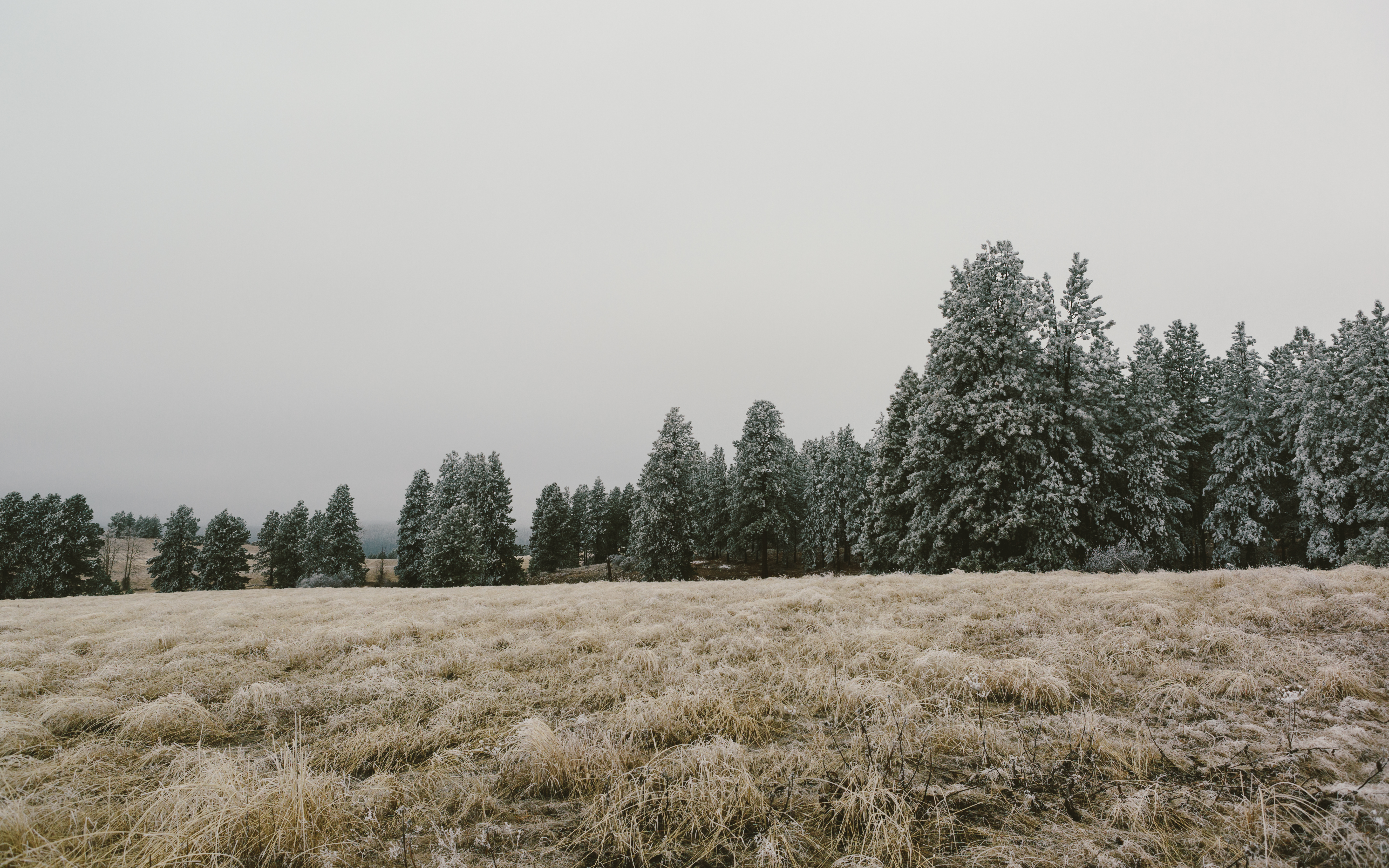
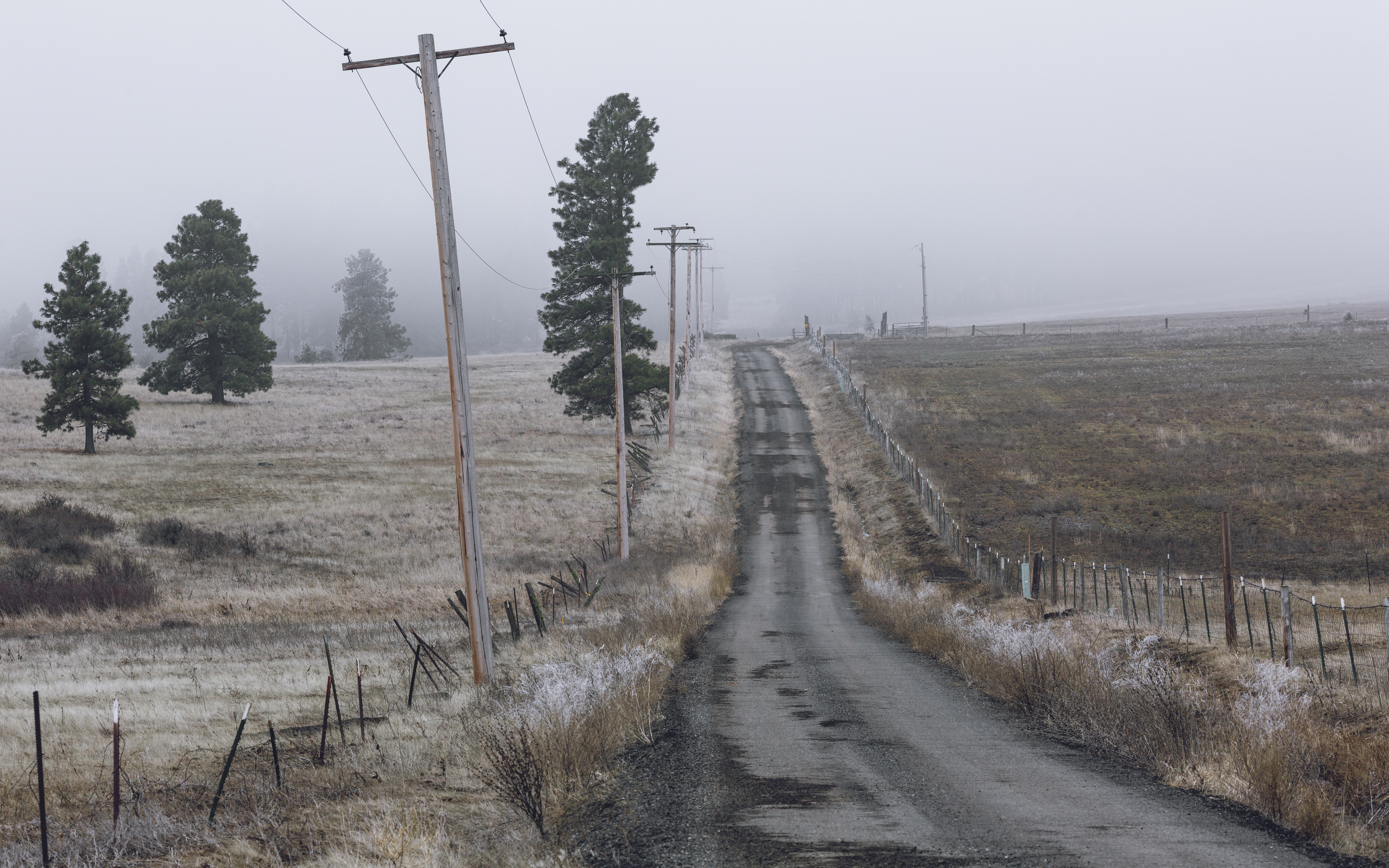
Stay Frosty
The Presence of January's Guest
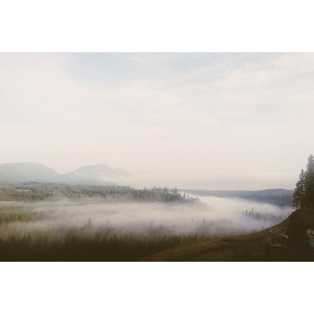
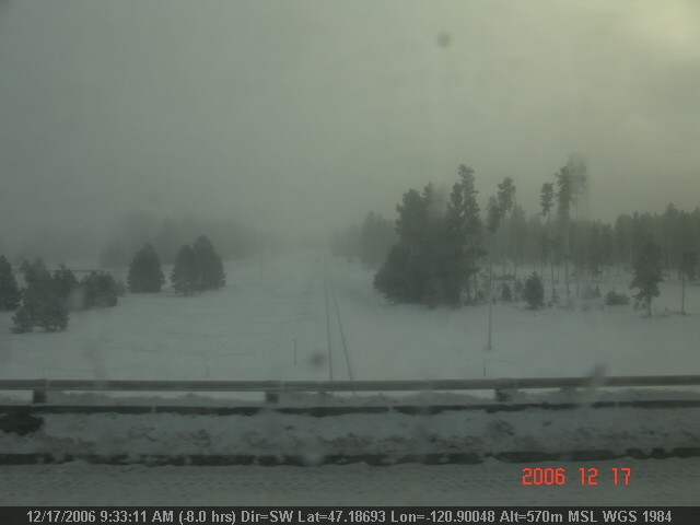
Morning view from our room. #dateweekend #generosityretreat #fog #afterthestorm
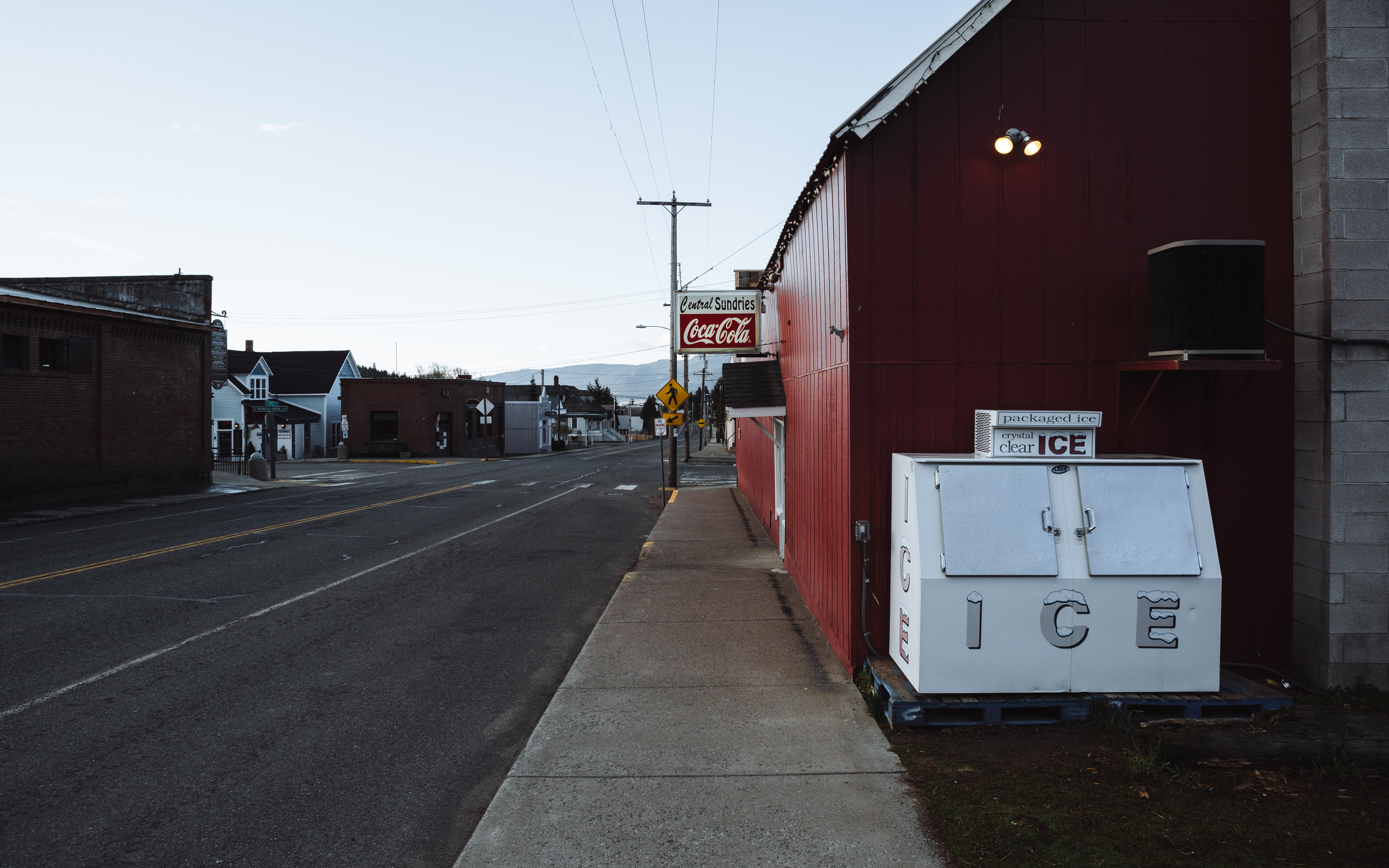
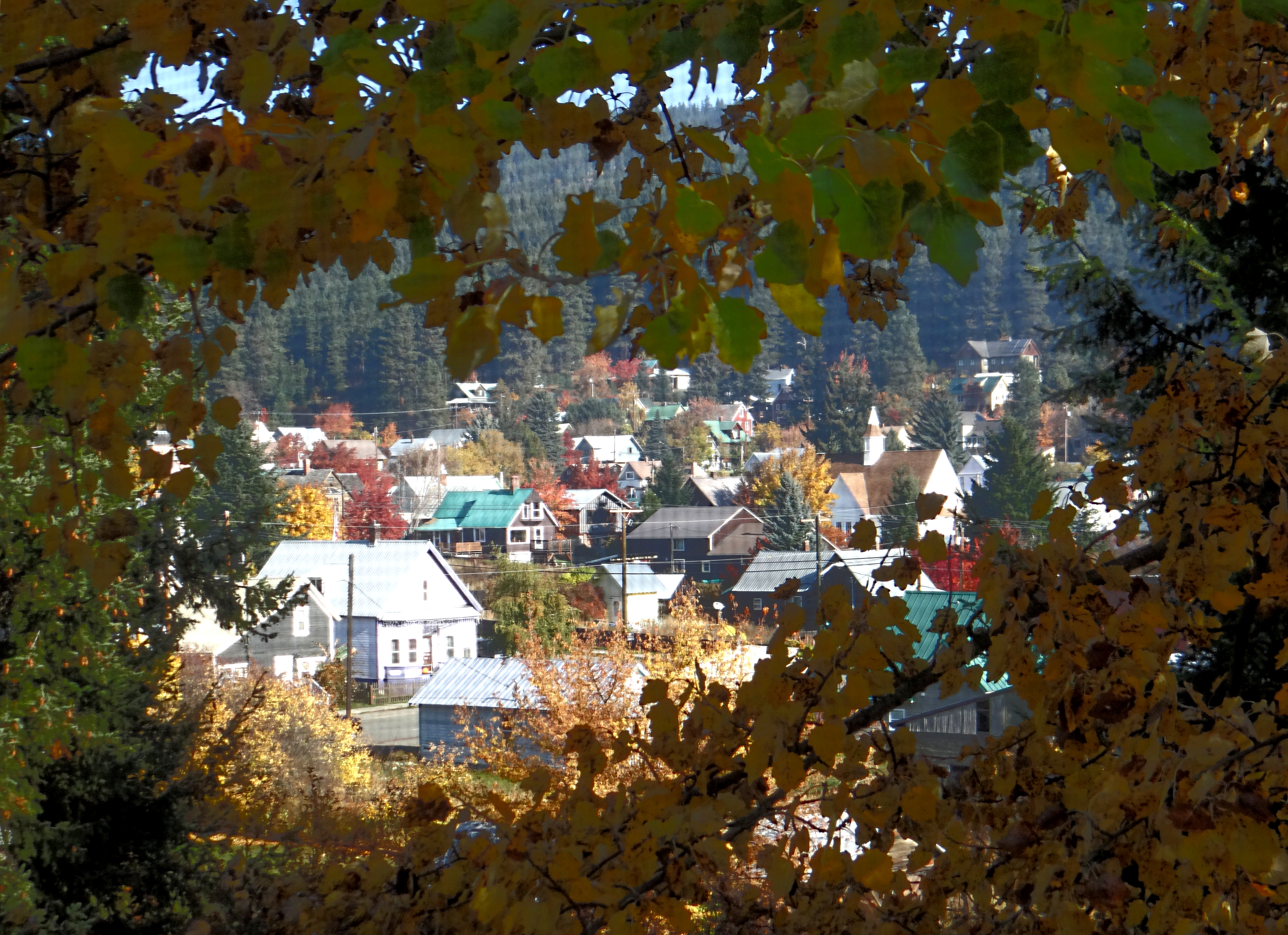
Small Town Street

Lion Rock + Mt. Stuart
The Morning Meeting

Lunch Time View
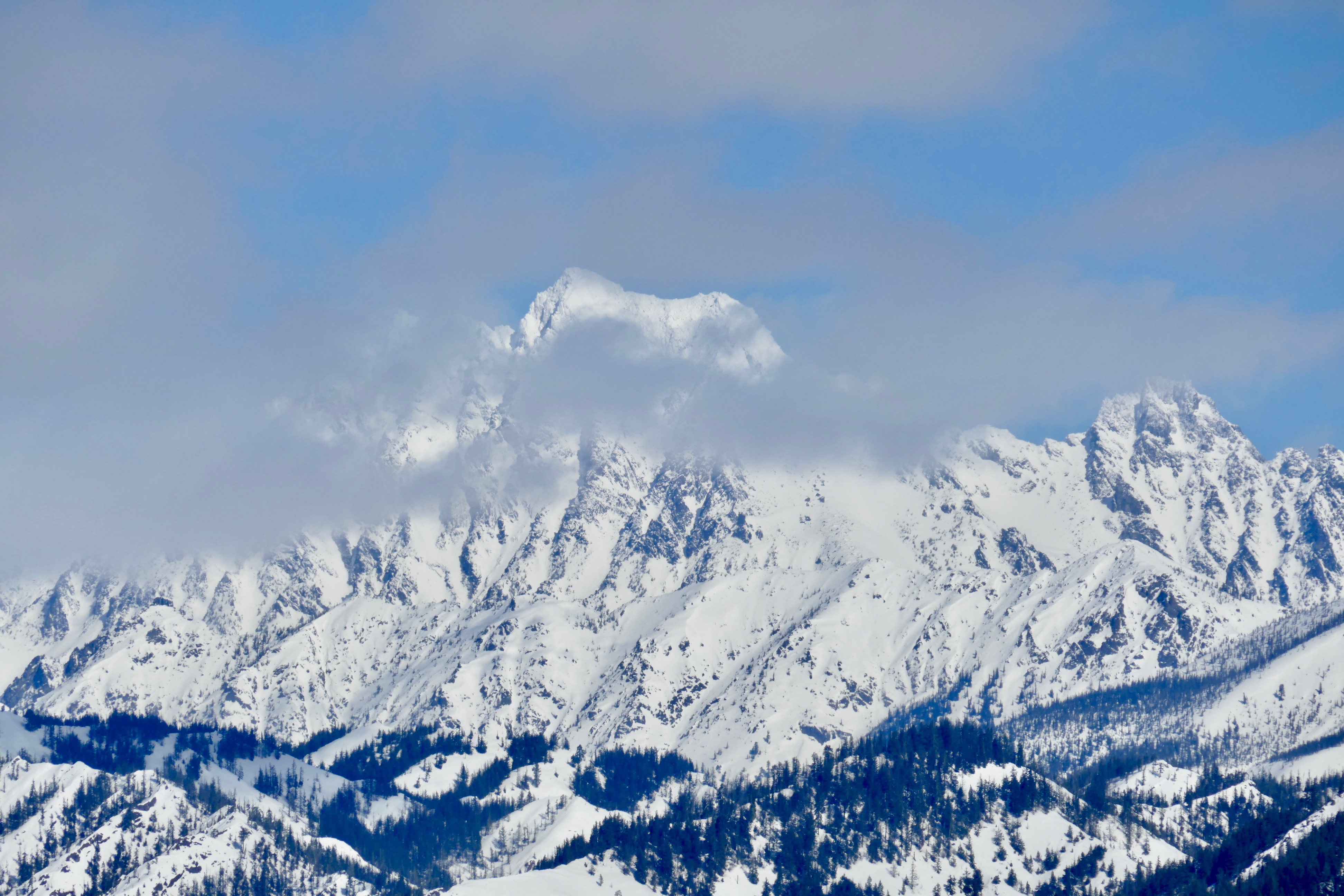
Stuart Range
View from Indian John Hill
Indian John Hill Rest Area
Cle Elum Ridge
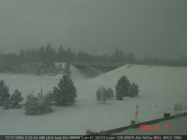
The view from today's hotel

The view from 20000 feet
LV0891DSC00273.JPG
LV0901DSC00283.JPG

Fastenal Blewitt Pass
LV0897DSC00279.JPG
View from Huckleberry house in Roslyn, WA
LV0900DSC00282.JPG
LV0896DSC00278.JPG
Fire Burning at Hidden Valley - Taylor Bridge Fire 8/17/2012
One Of Us Comes To An End
In Silence
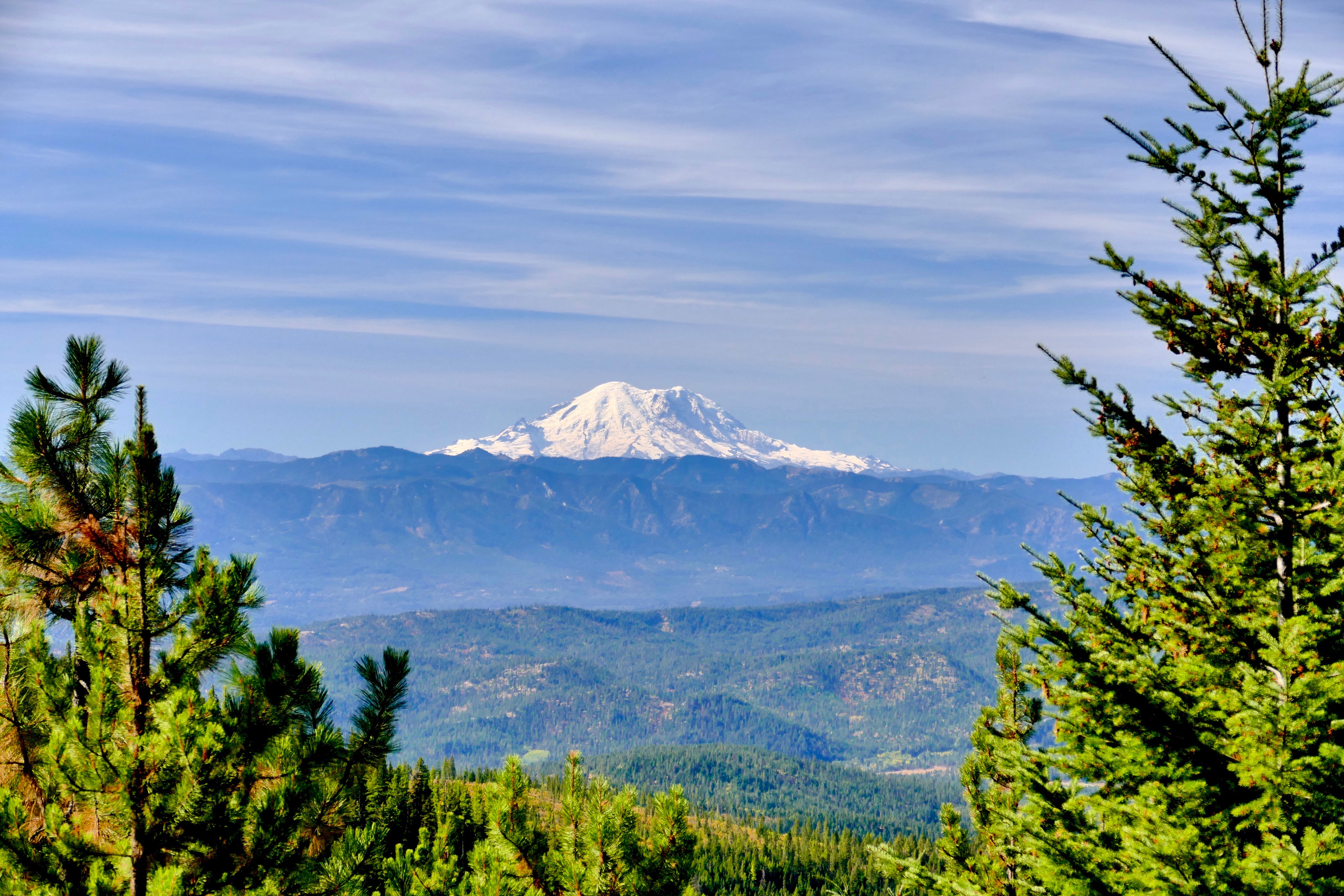
Mount Rainier
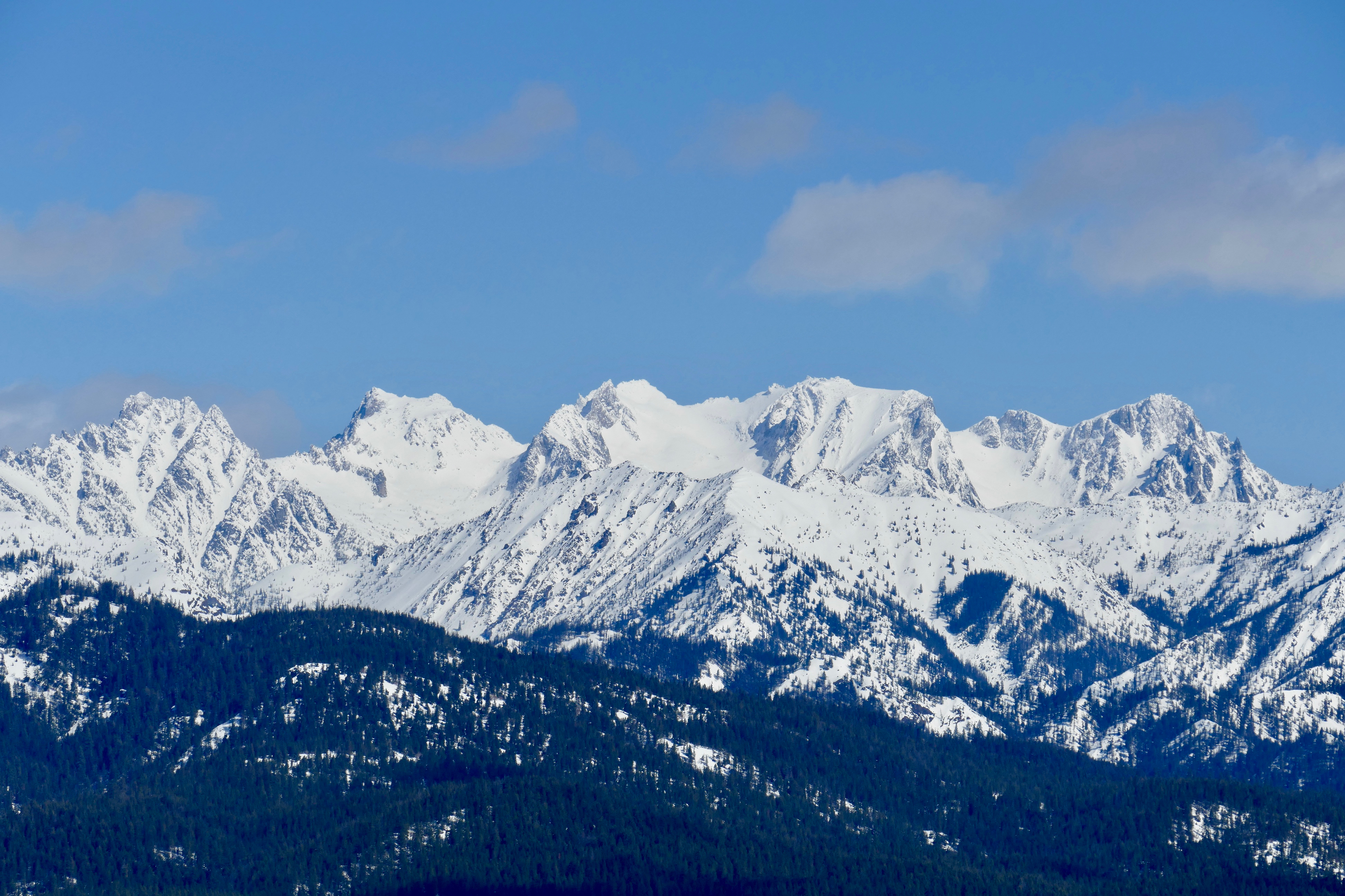
Stuart Range
The light is fading fast
Mount Stuart
Fenced (Explore 12 13 13)
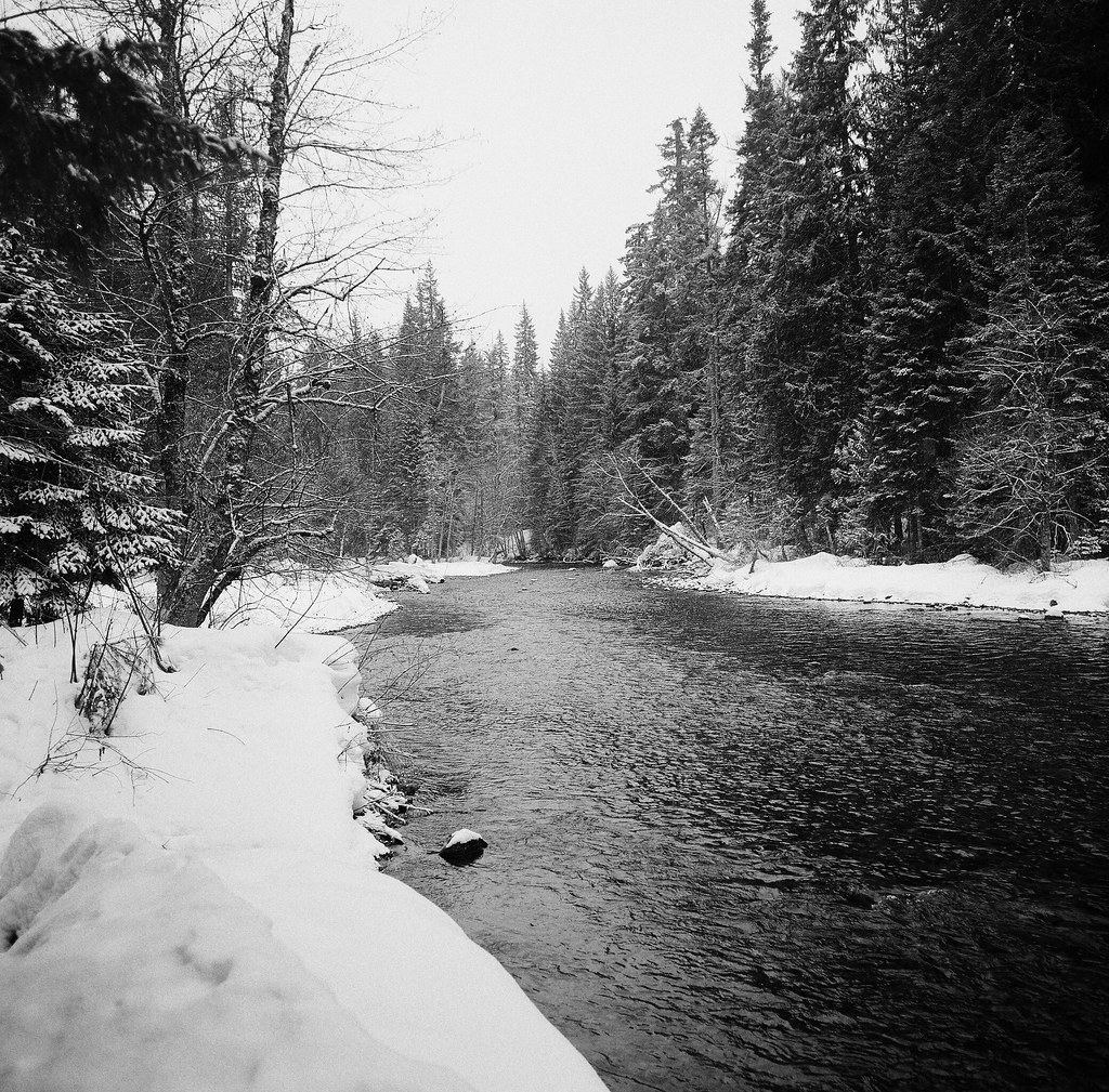
Snow and river Easton
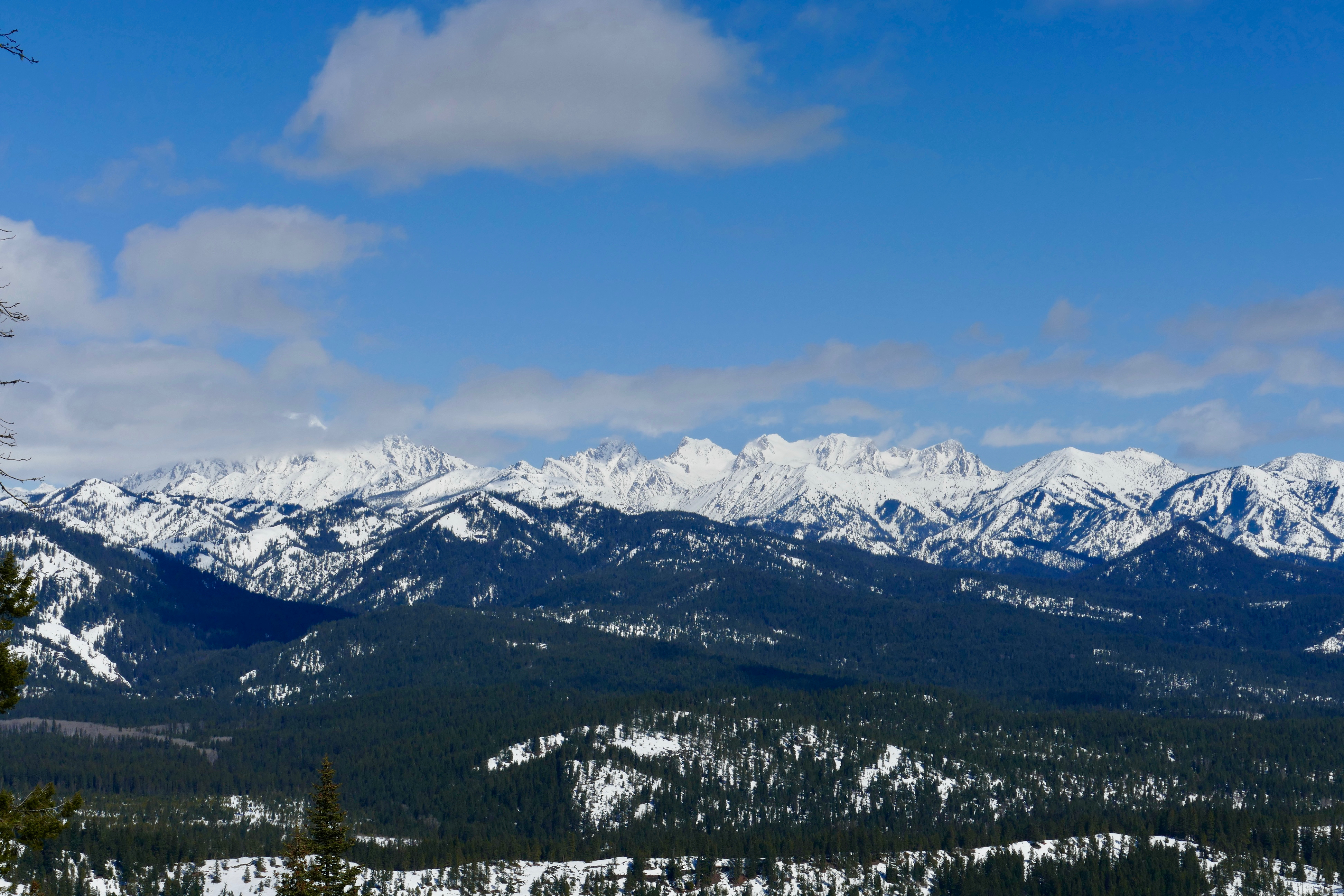
Stuart Range
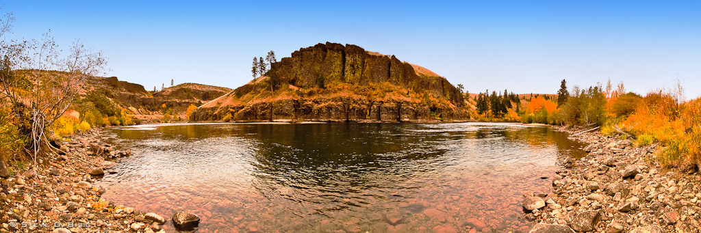
A Bend in the River
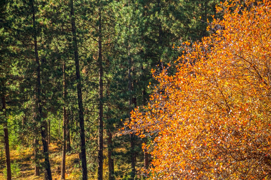
Liberty Colors
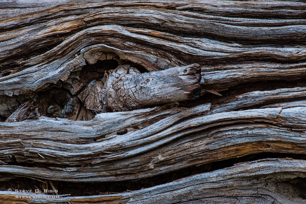
Wavy Log
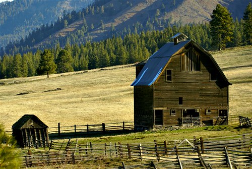
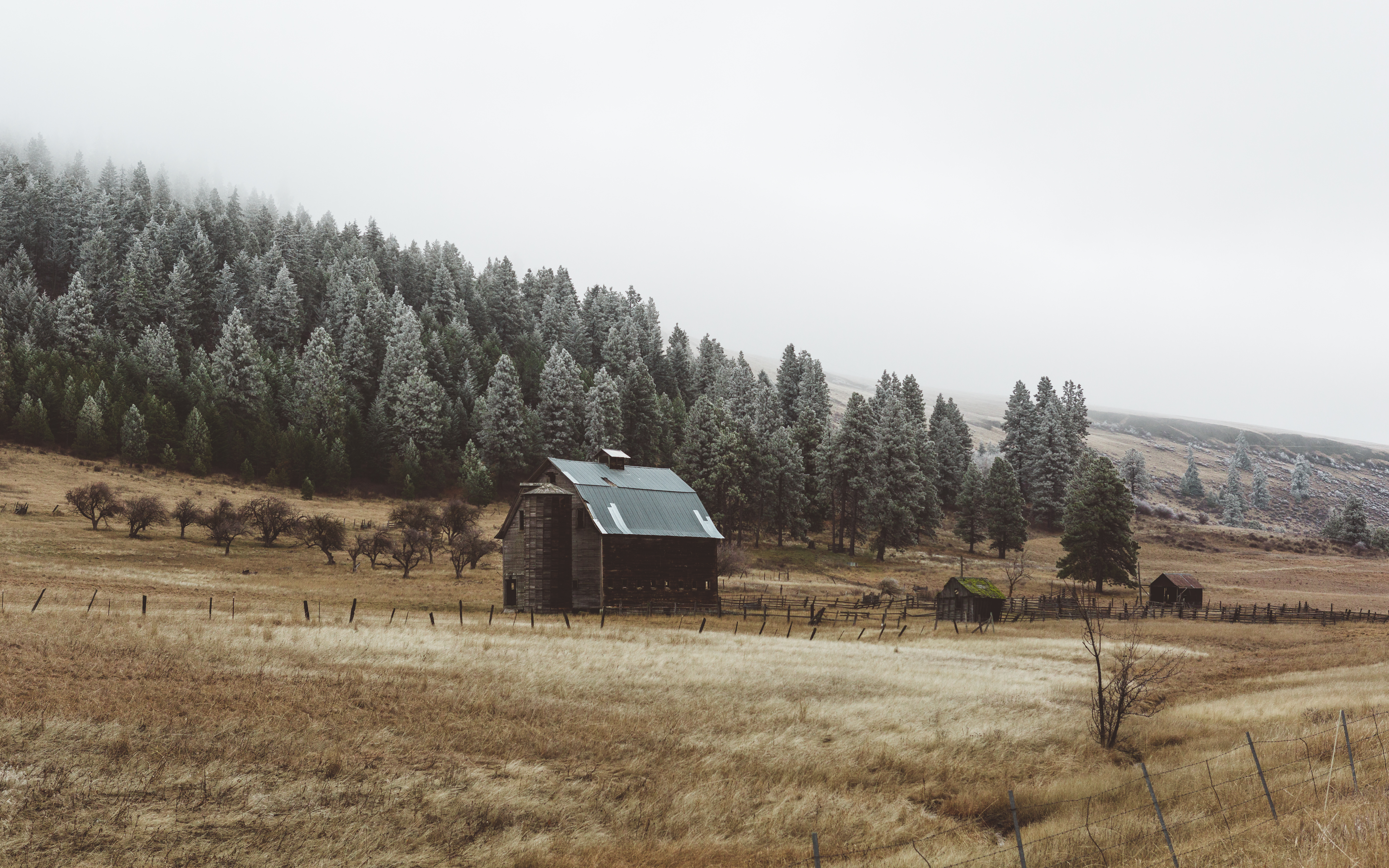
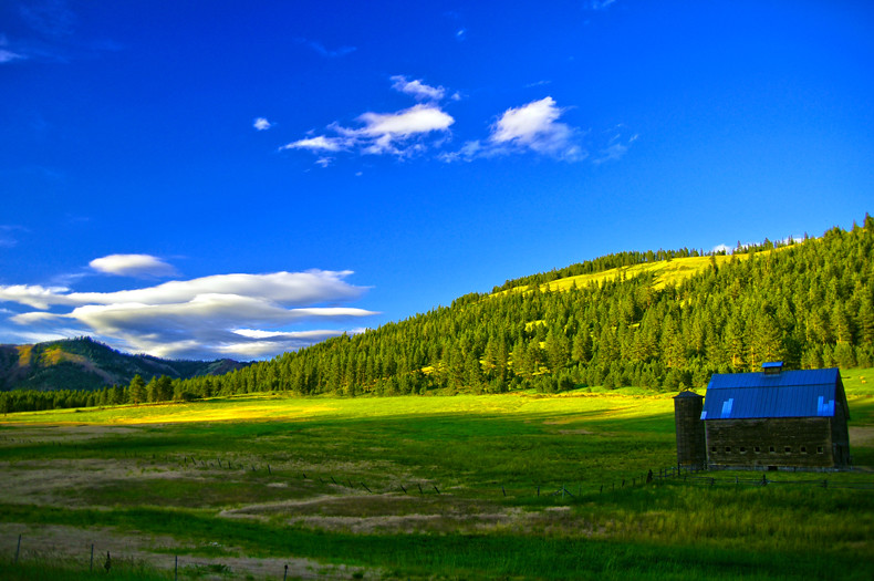
The Barn
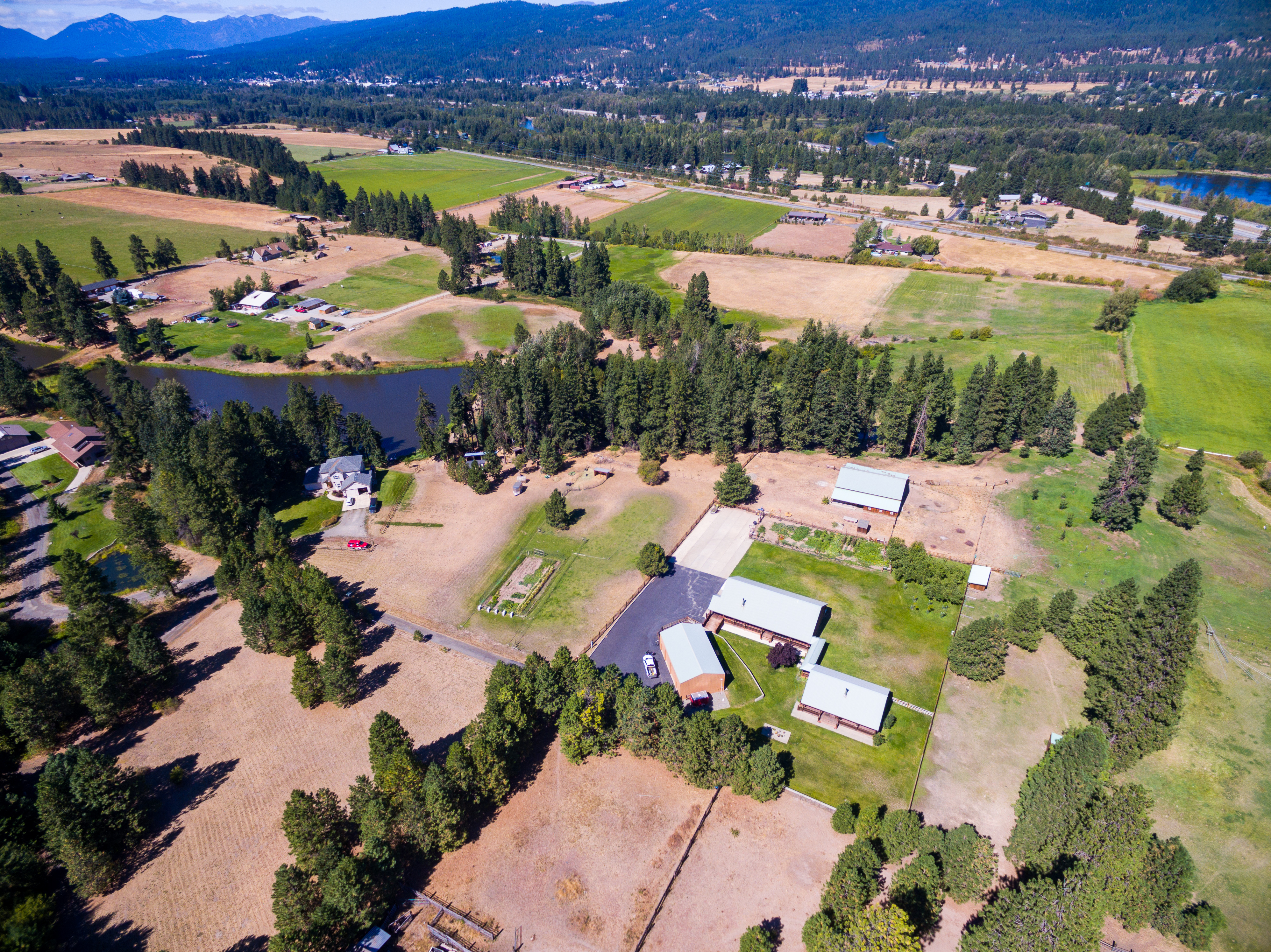
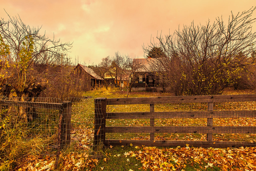
Coggins Homestead
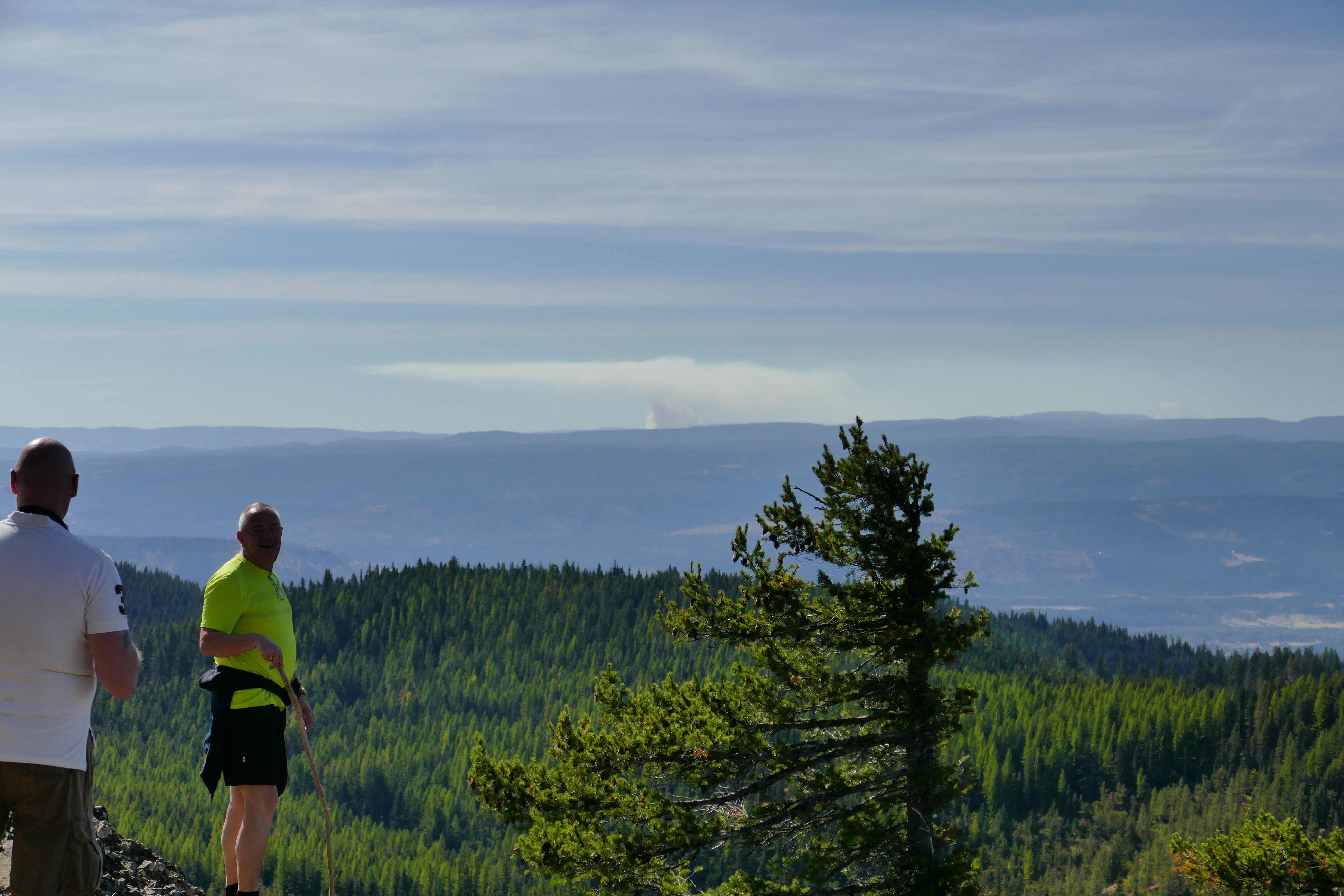
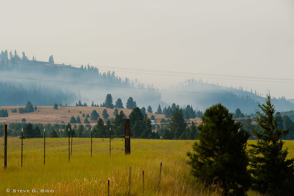
Two guys from the Netherland looking at smoke from wildfire
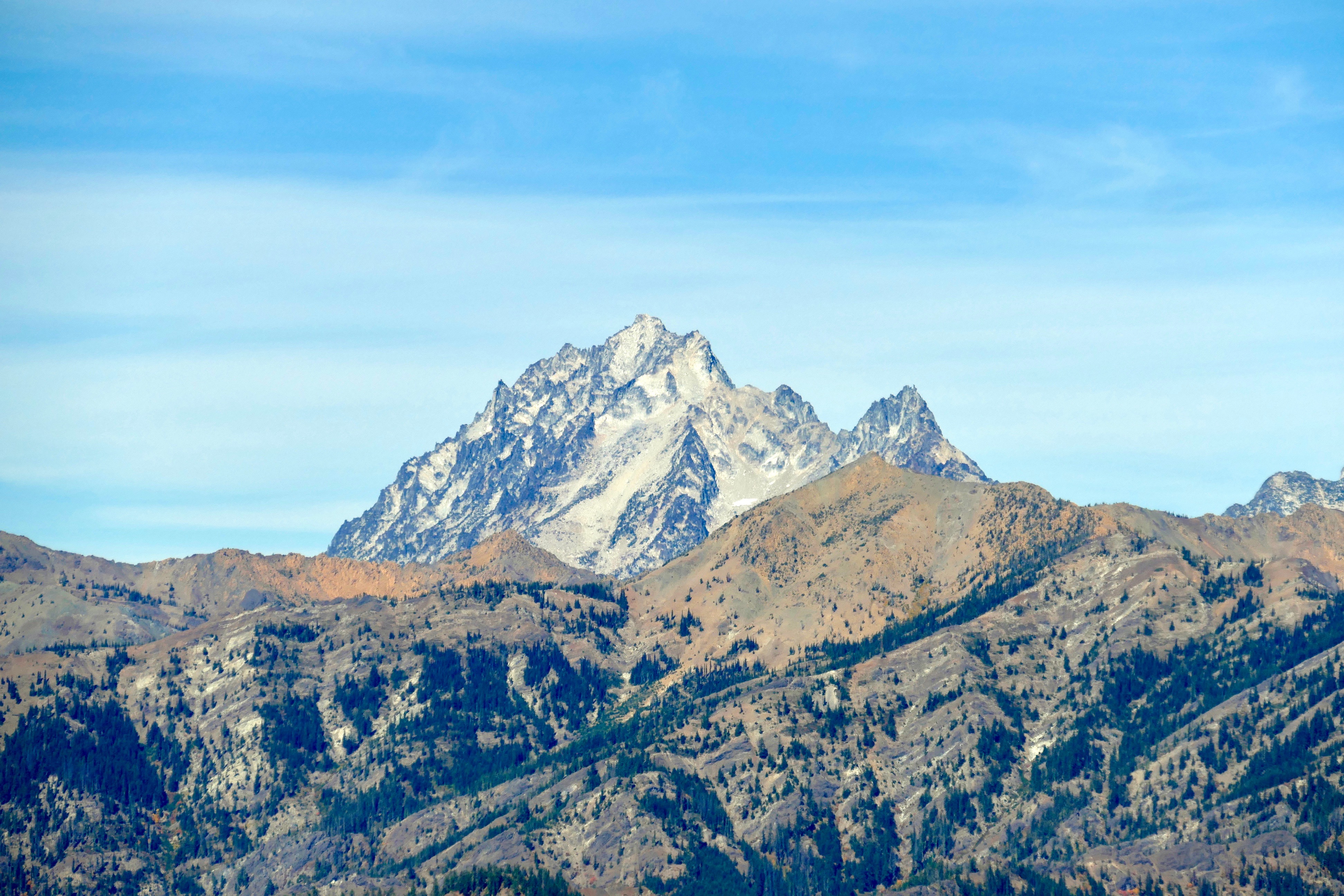
Mount Stuart
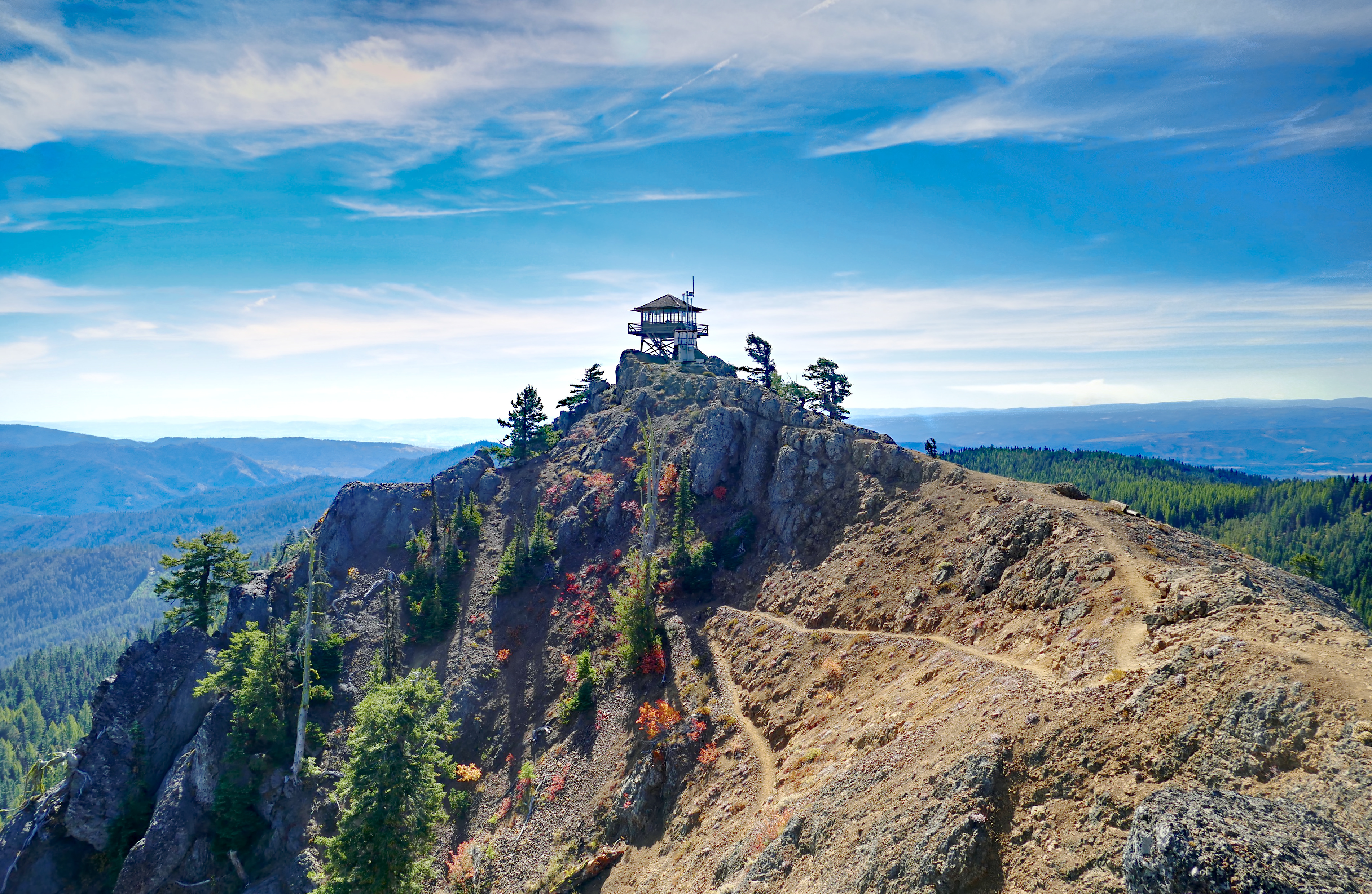
Red Top Lookout (HDR)

Bull Frog Pond, Kittitas County, Washington, October 2013
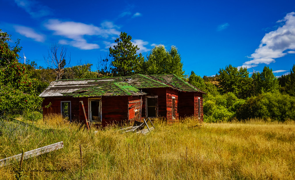
A Dream Gone Bad
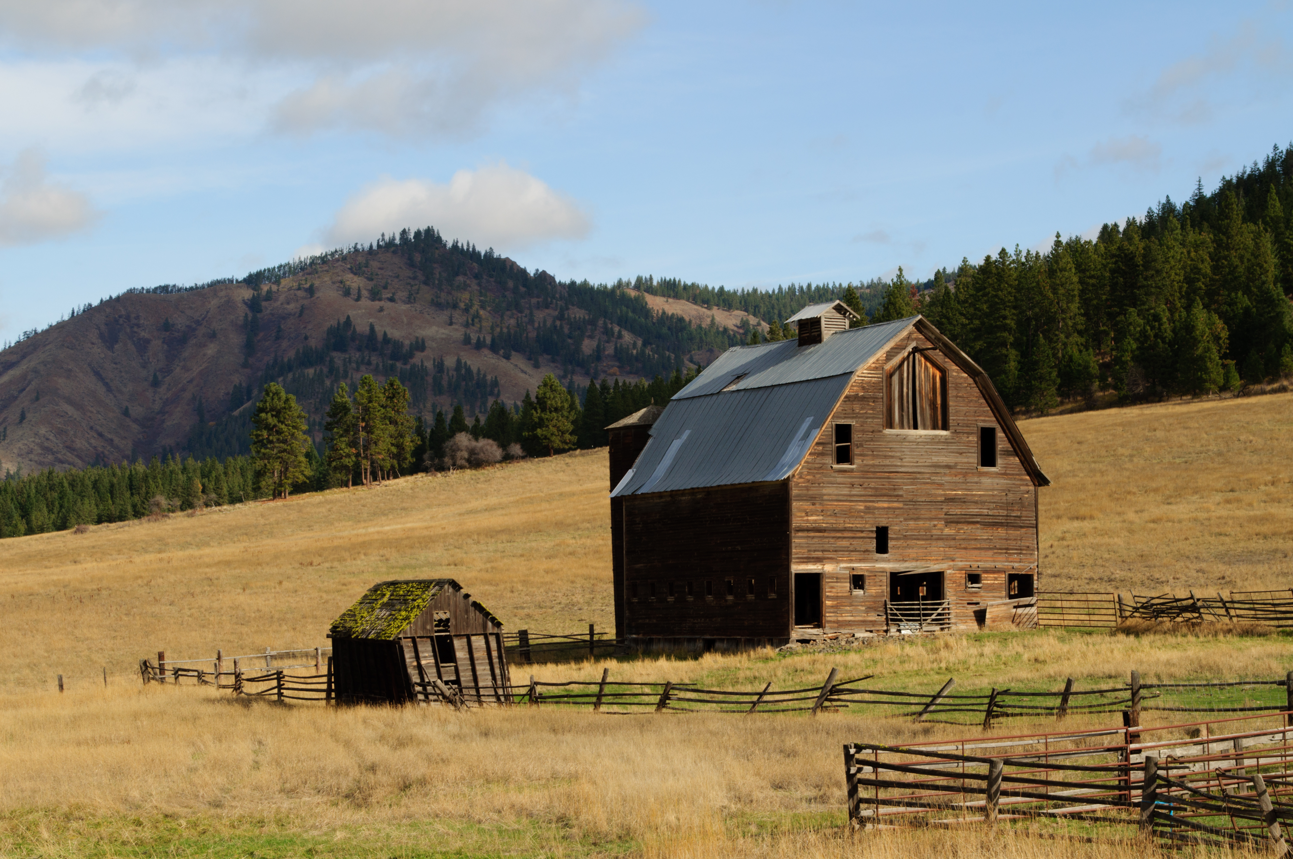
Ellensburg Barn 2
Topographic Map of Lambert Rd, Cle Elum, WA, USA
Find elevation by address:

Places near Lambert Rd, Cle Elum, WA, USA:
170 Casassa Rd
381 Pumphouse Hill Dr
Sky Meadows Ranch
80 Skull Springs Rd
Taneum Campground
691 Morrison Canyon Ln
Taneum Creek
Kittitas County
Teanaway Road North Fork
Red Top Lookout
Mineral Springs Resort
Liberty
1450 Harkness Rd
Main St, Thorp, WA, USA
Thorp
140 Williams Creek Rd
10350 Us-97
16170 Manastash Rd
440 Marion Canyon Rd
Earl Peak
Recent Searches:
- Elevation of Leguwa, Nepal
- Elevation of County Rd, Enterprise, AL, USA
- Elevation of Kolchuginsky District, Vladimir Oblast, Russia
- Elevation of Shustino, Vladimir Oblast, Russia
- Elevation of Lampiasi St, Sarasota, FL, USA
- Elevation of Elwyn Dr, Roanoke Rapids, NC, USA
- Elevation of Congressional Dr, Stevensville, MD, USA
- Elevation of Bellview Rd, McLean, VA, USA
- Elevation of Stage Island Rd, Chatham, MA, USA
- Elevation of Shibuya Scramble Crossing, 21 Udagawacho, Shibuya City, Tokyo -, Japan