Elevation of Mineral Springs Resort, US-97, Cle Elum, WA, USA
Location: United States > Washington > Kittitas County > Cle Elum >
Longitude: -120.69904
Latitude: 47.2908227
Elevation: 834m / 2736feet
Barometric Pressure: 92KPa
Elevation Map:
Satellite Map:
Related Photos:
clear view
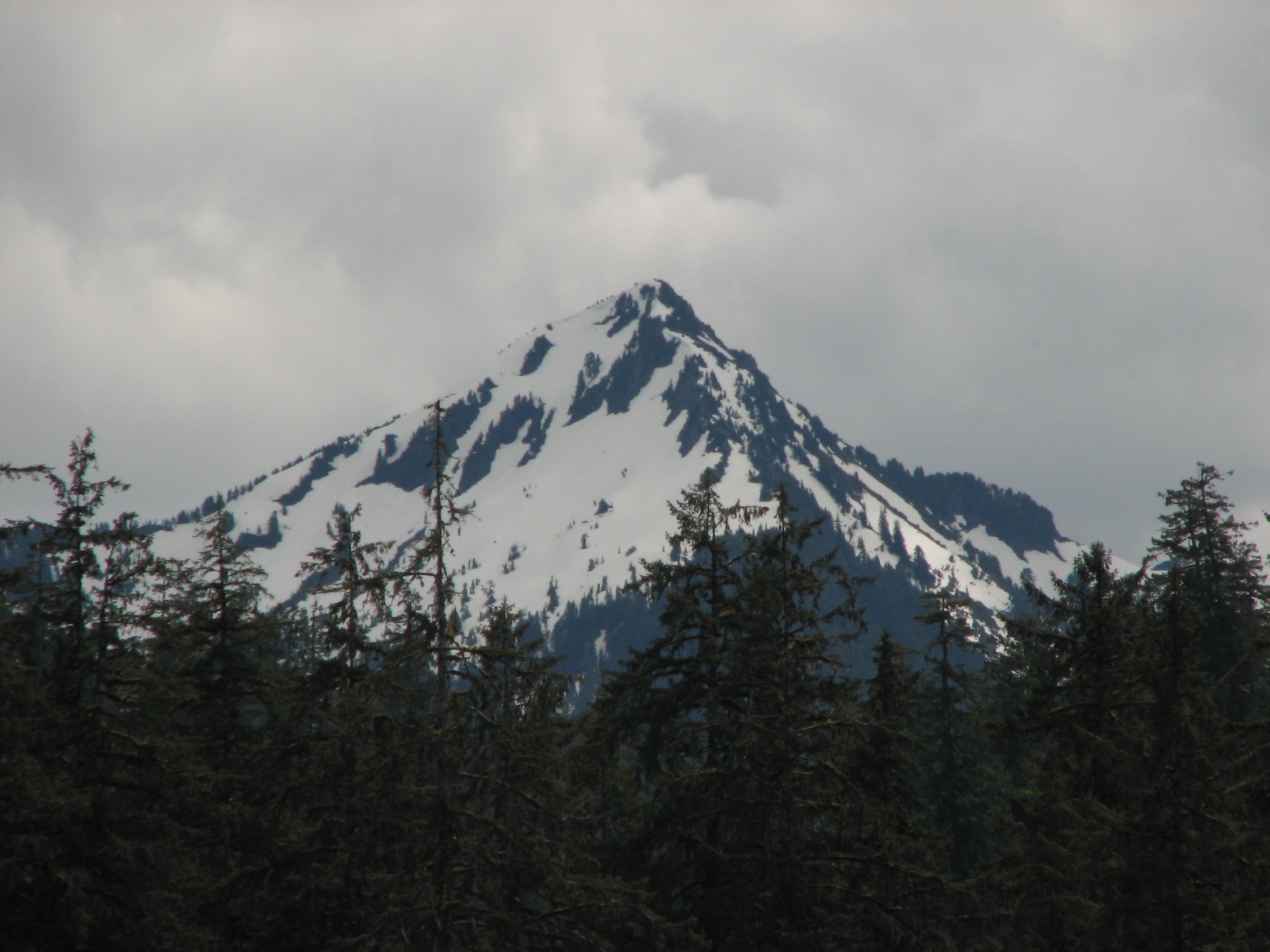
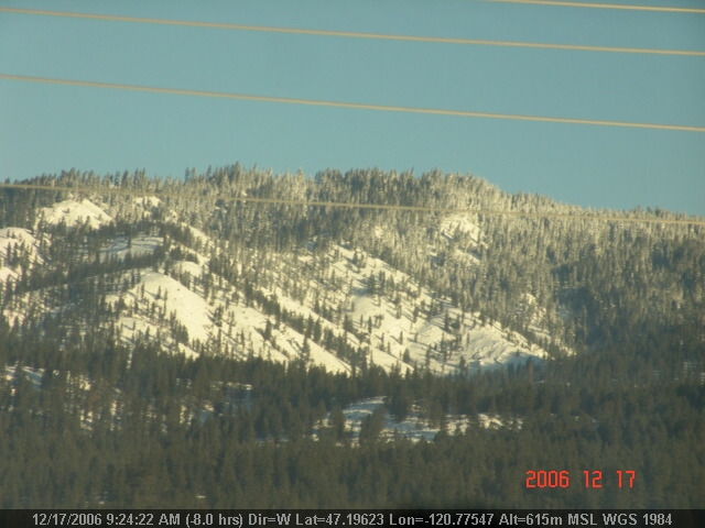
Mount Tom

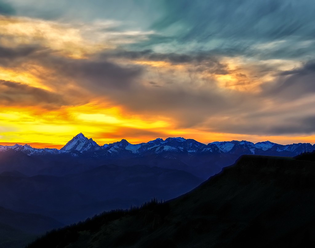
Sunset over the Enchantments
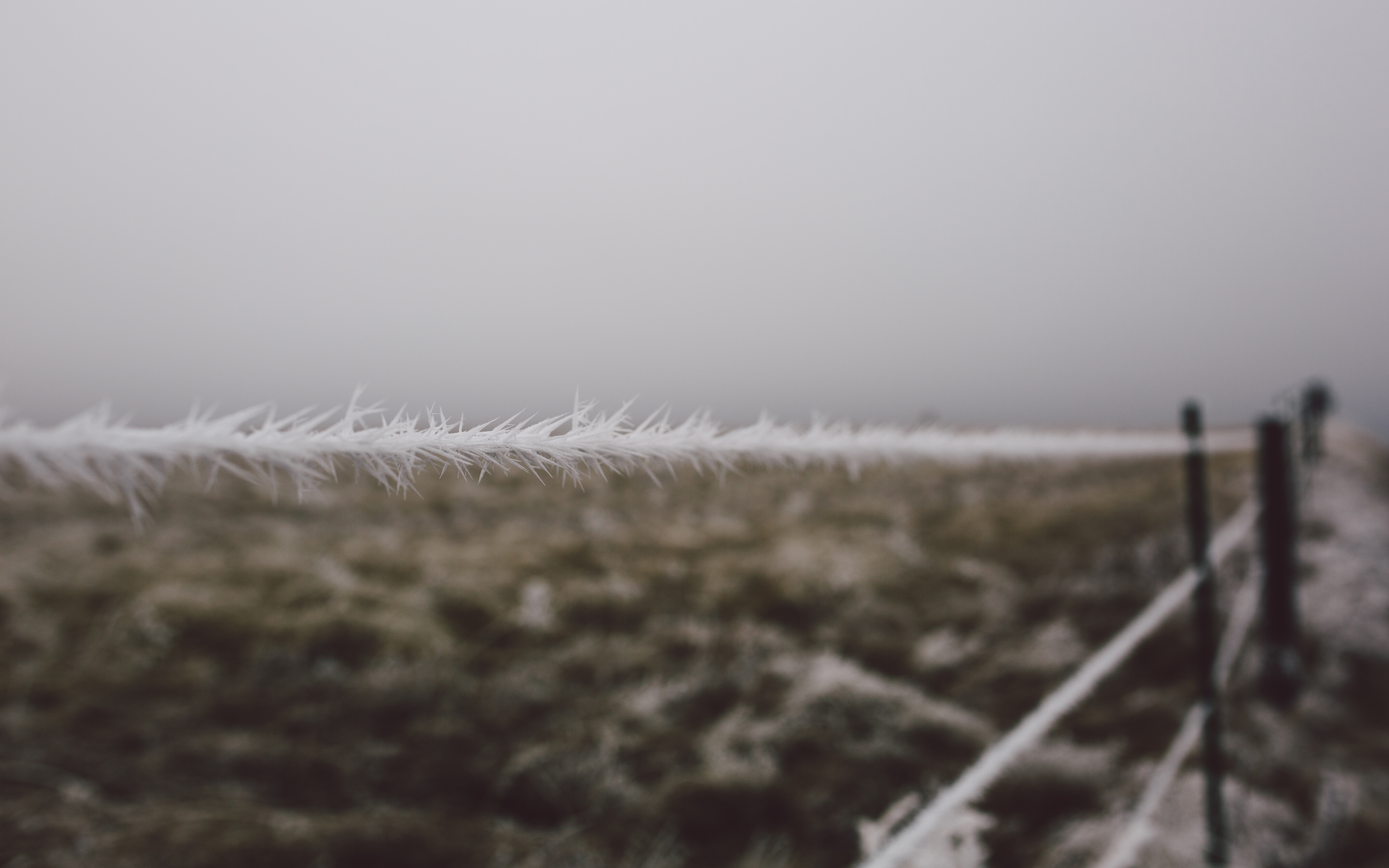
Stay Frosty
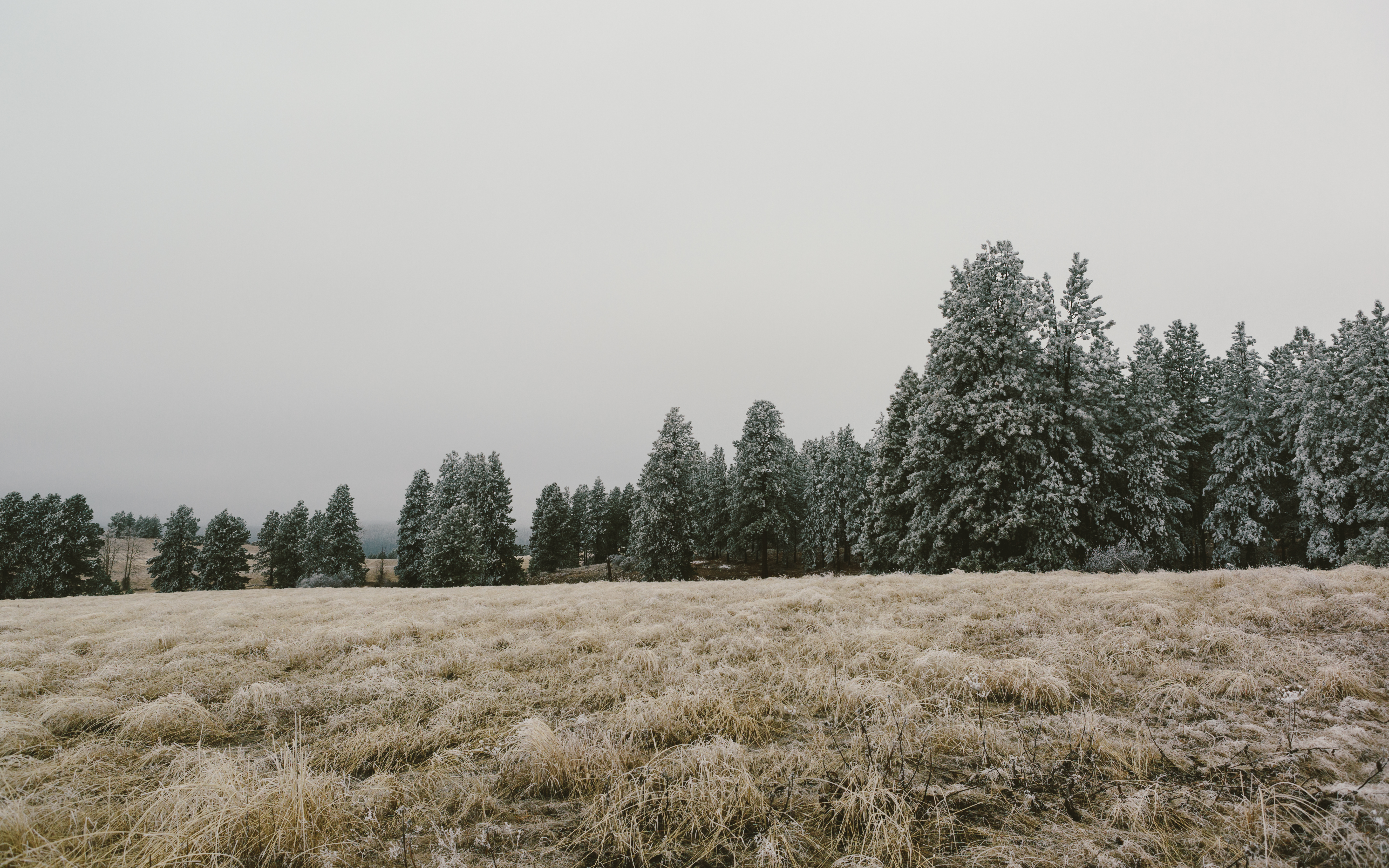
The Presence of January's Guest
Big Country
Heart of Stone

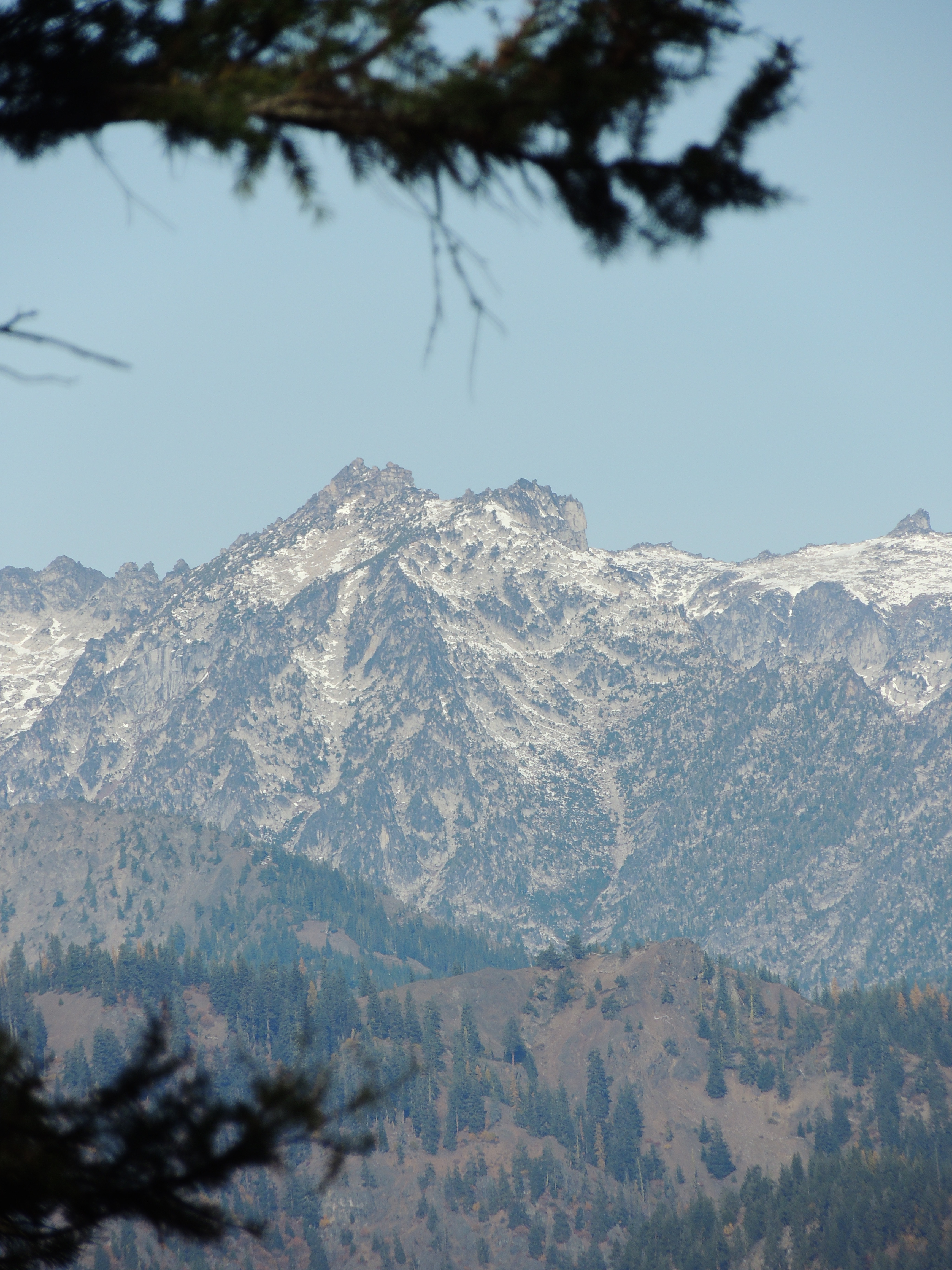
Lion Rock + Mt. Stuart

Tronsen Ridge
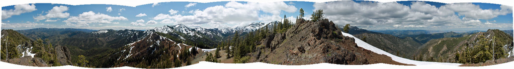
Panoramic view
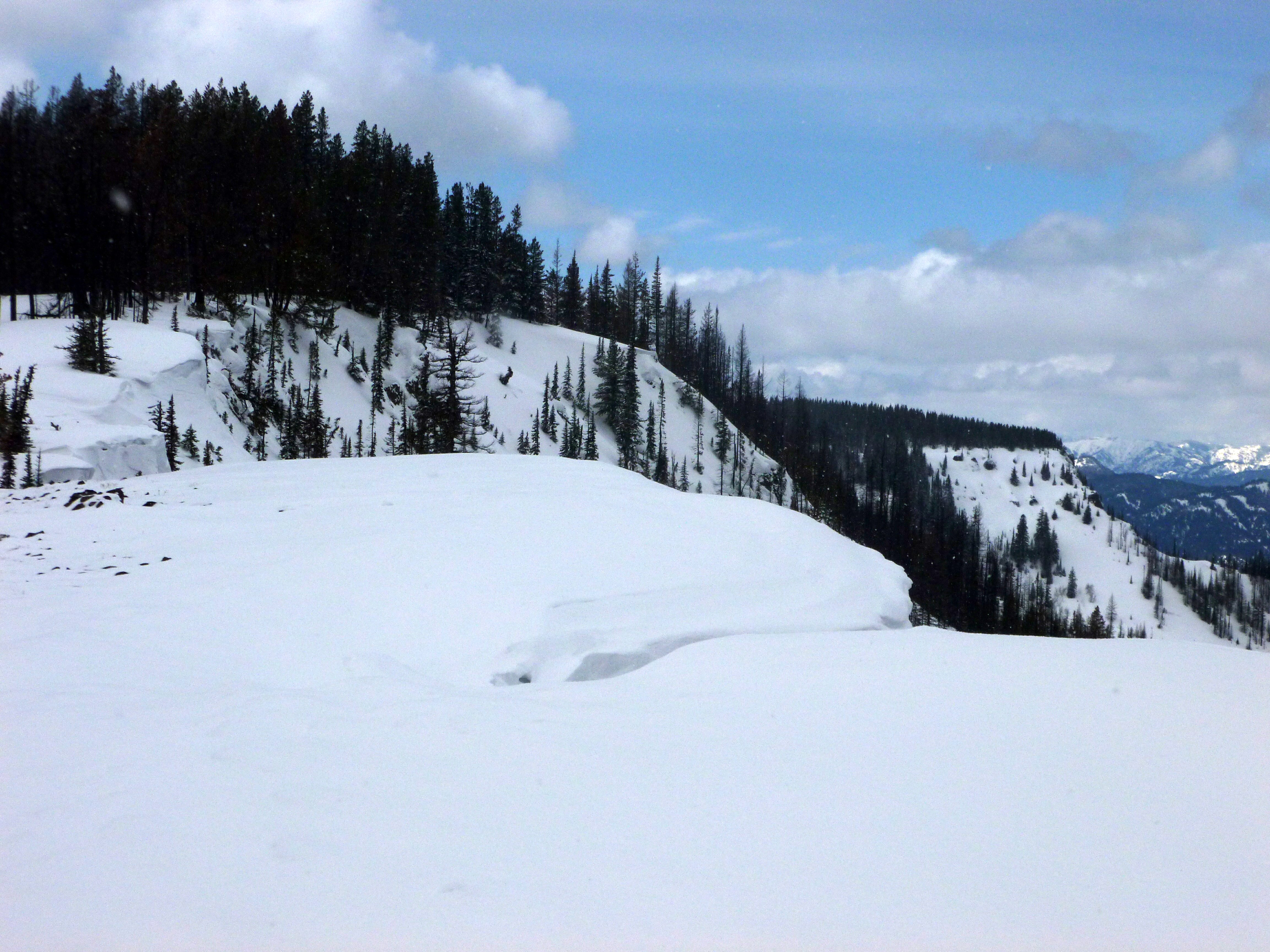
Tronsen Head
Panoramic view
P1020261(1)
LV0891DSC00273.JPG
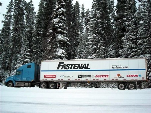
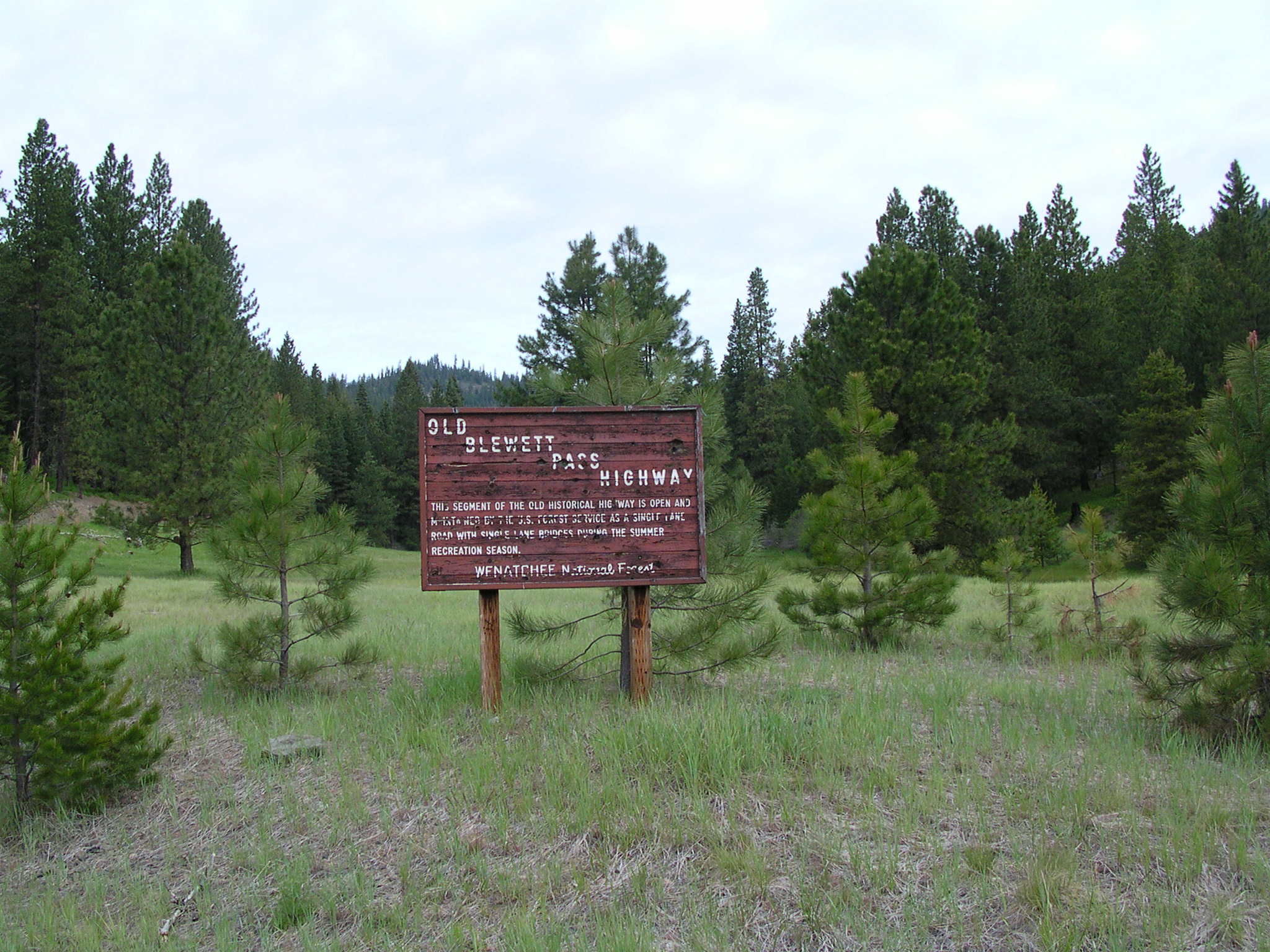
Fastenal Blewitt Pass
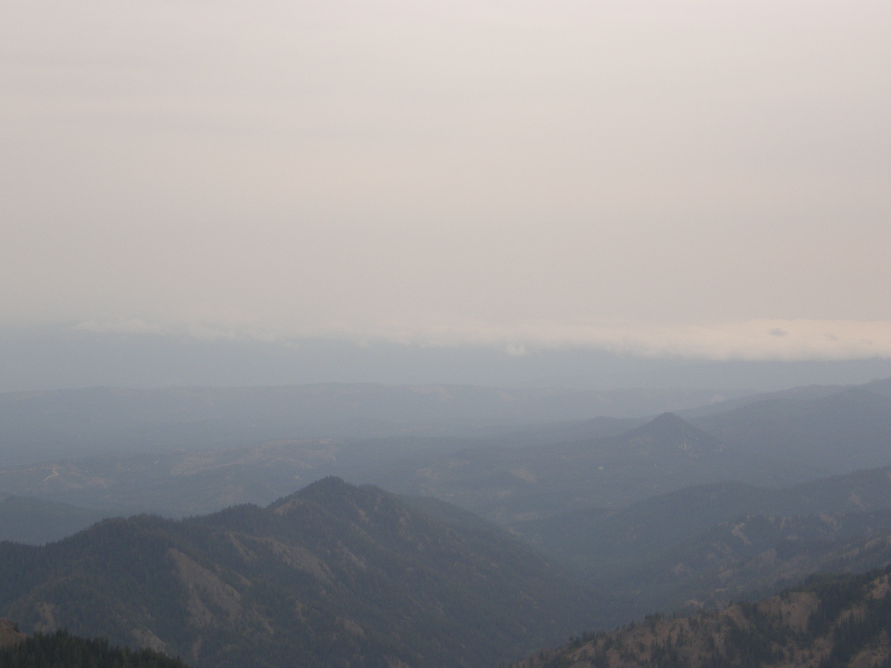
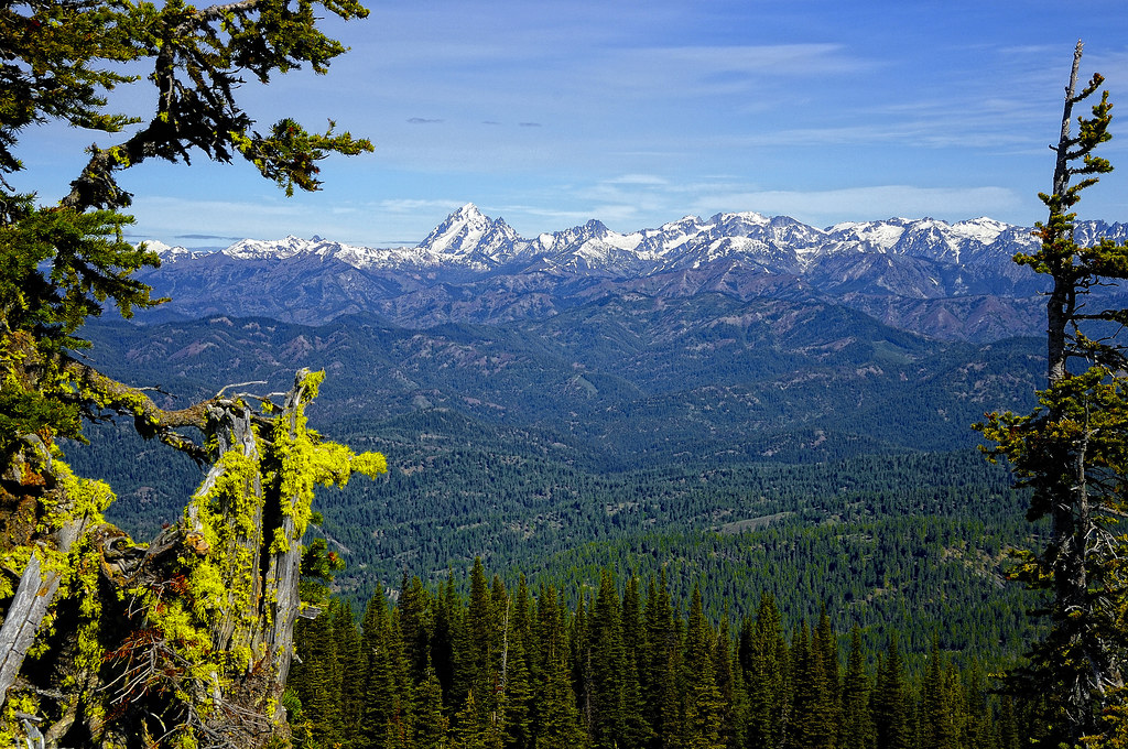
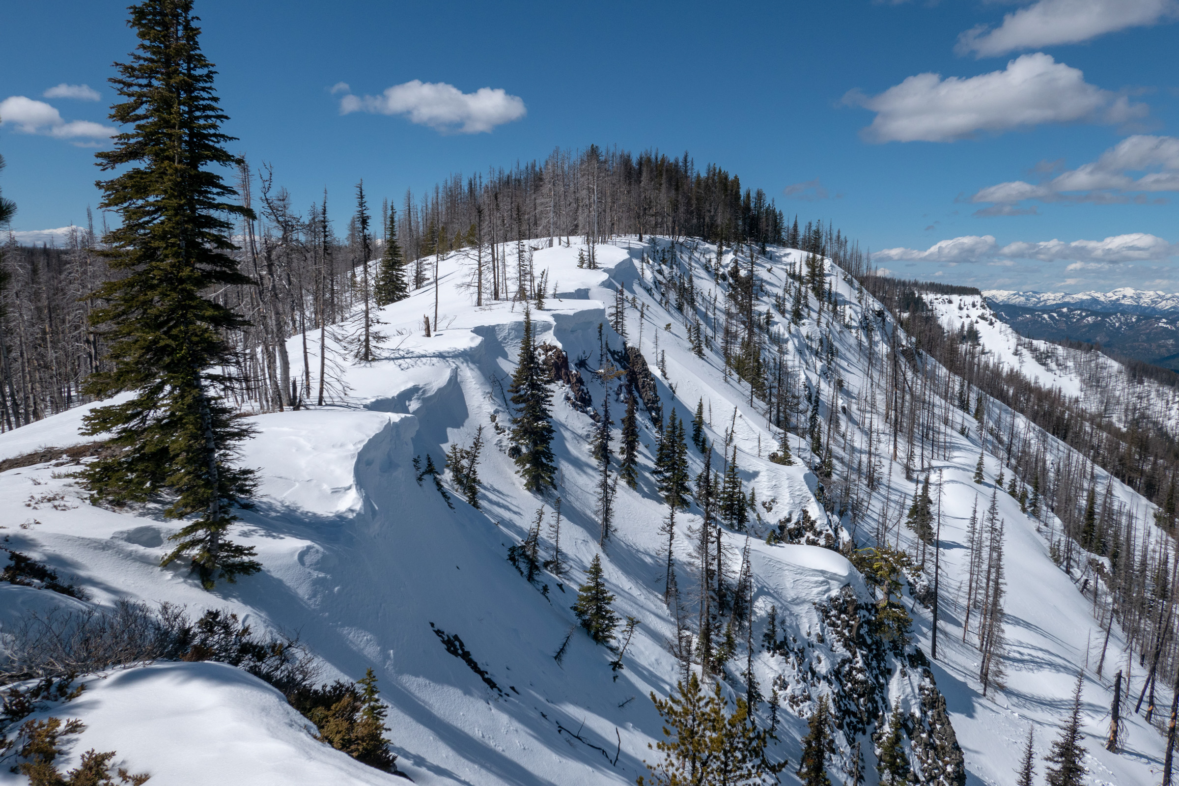
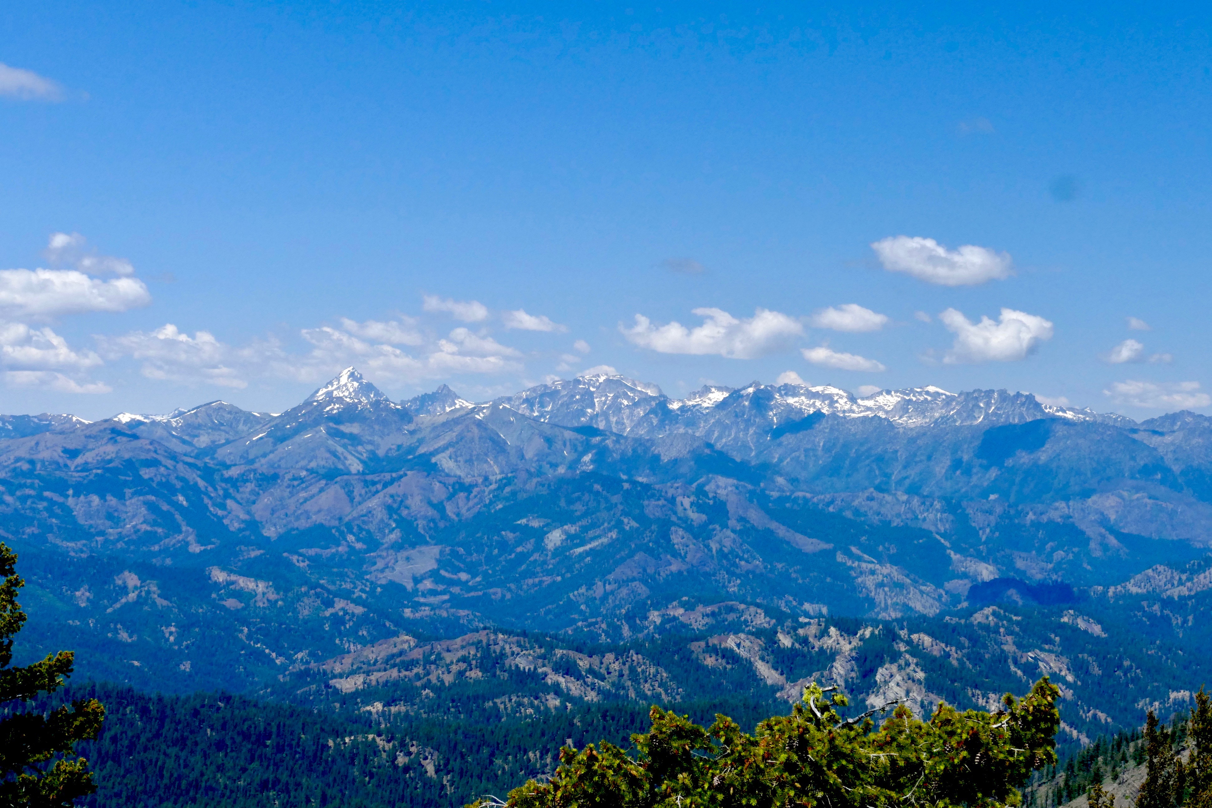
Views from Miller Peak summit.
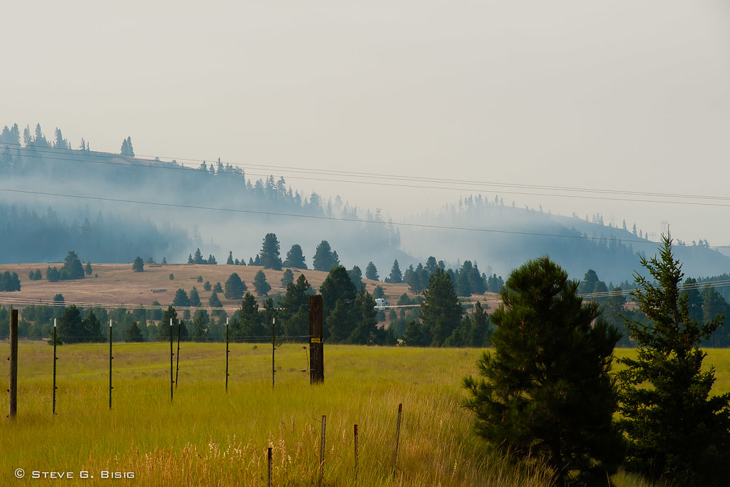
Fire Burning at Hidden Valley - Taylor Bridge Fire 8/17/2012
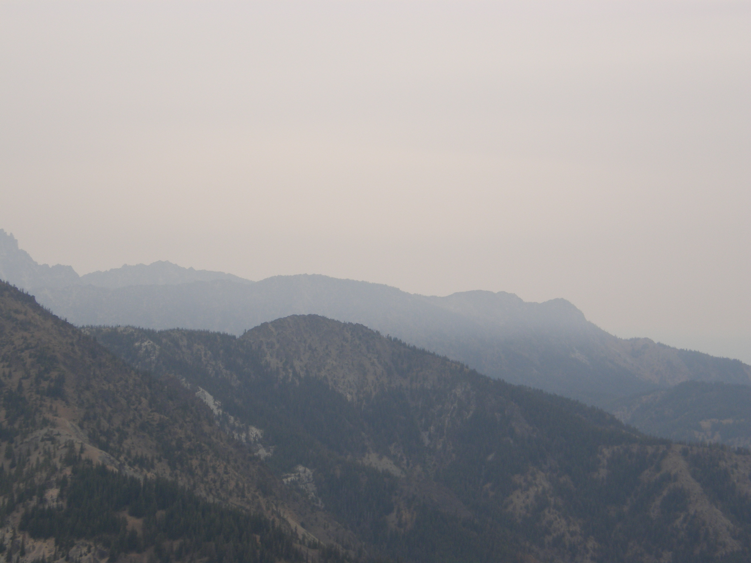
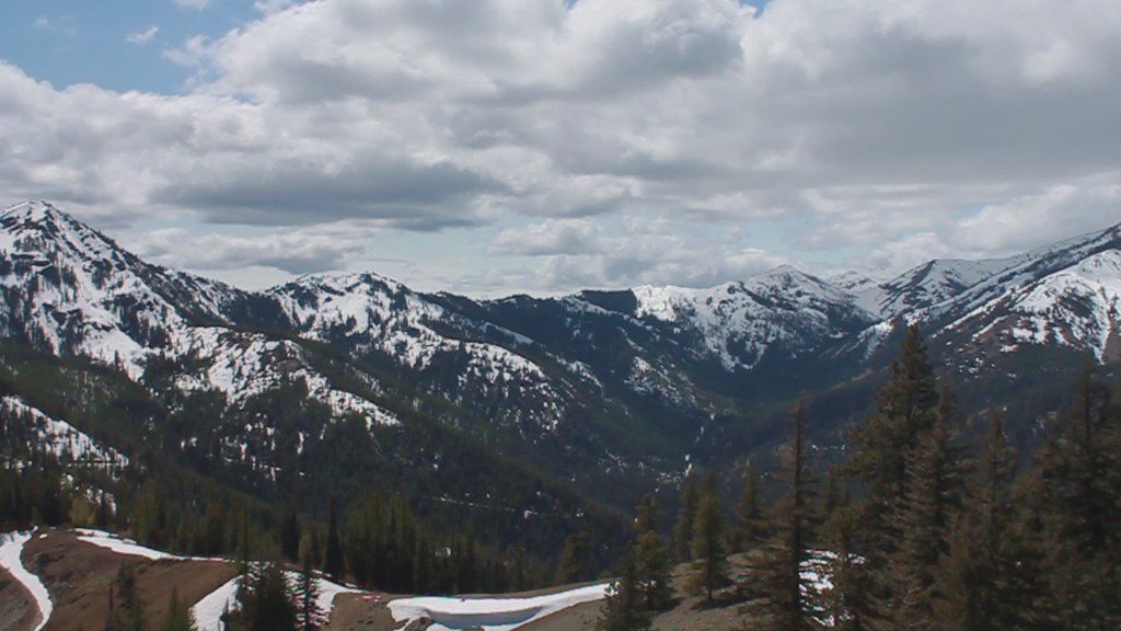
Views from Miller Peak summit.
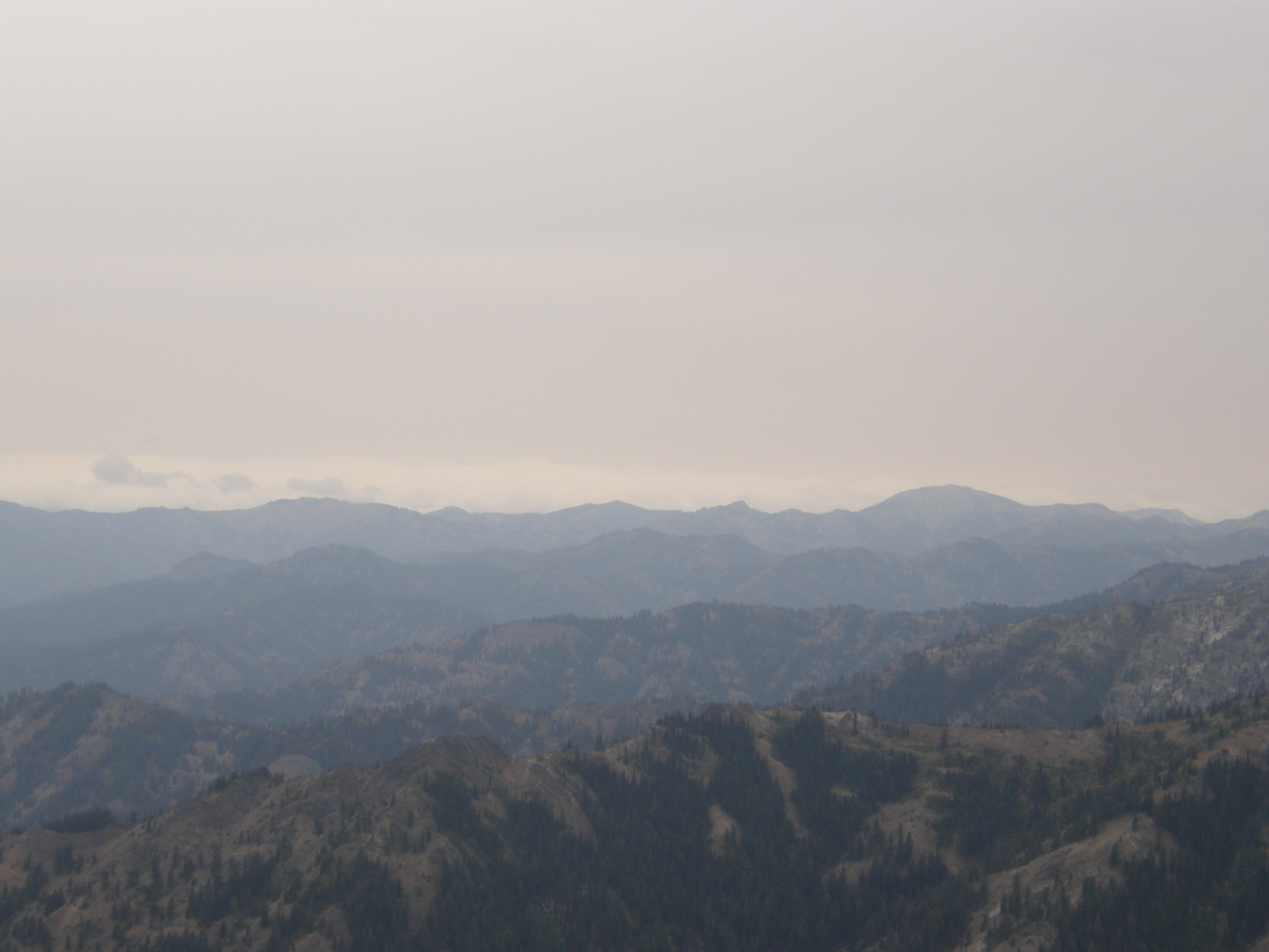
Views from Miller Peak summit.
DSCN1974.JPG
Views from Miller Peak summit.
In Silence
Tronsen Head
Tronsen Head
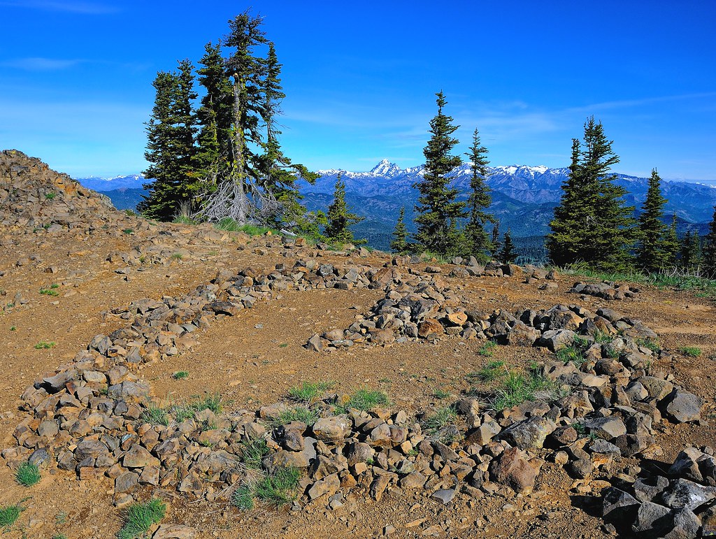
Red Top Lookout (HDR)

Mt. Stuart Kissed by the Sun
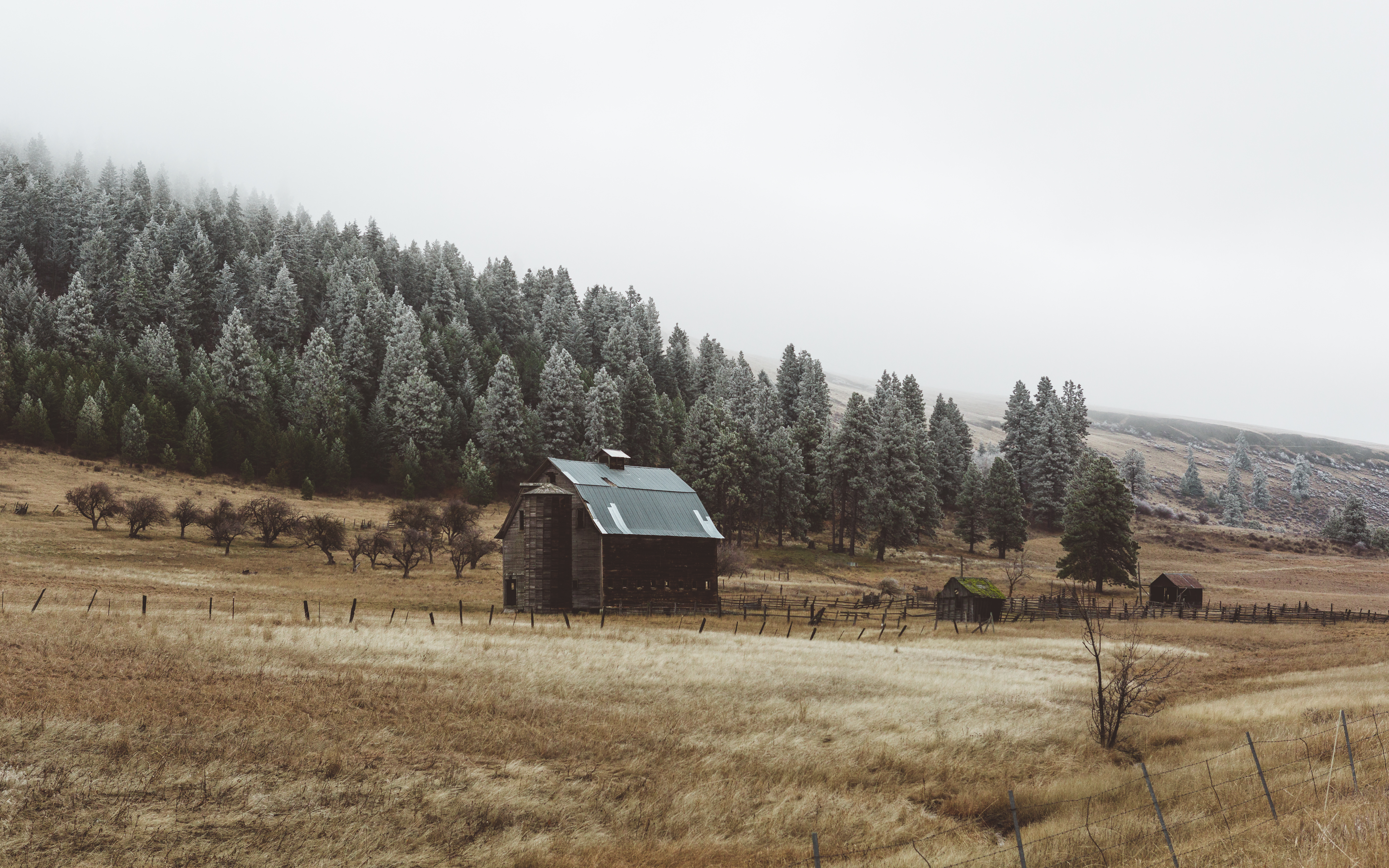
Ellensburg Barn 2
The light is fading fast

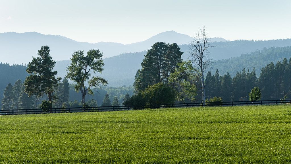
Teanaway River
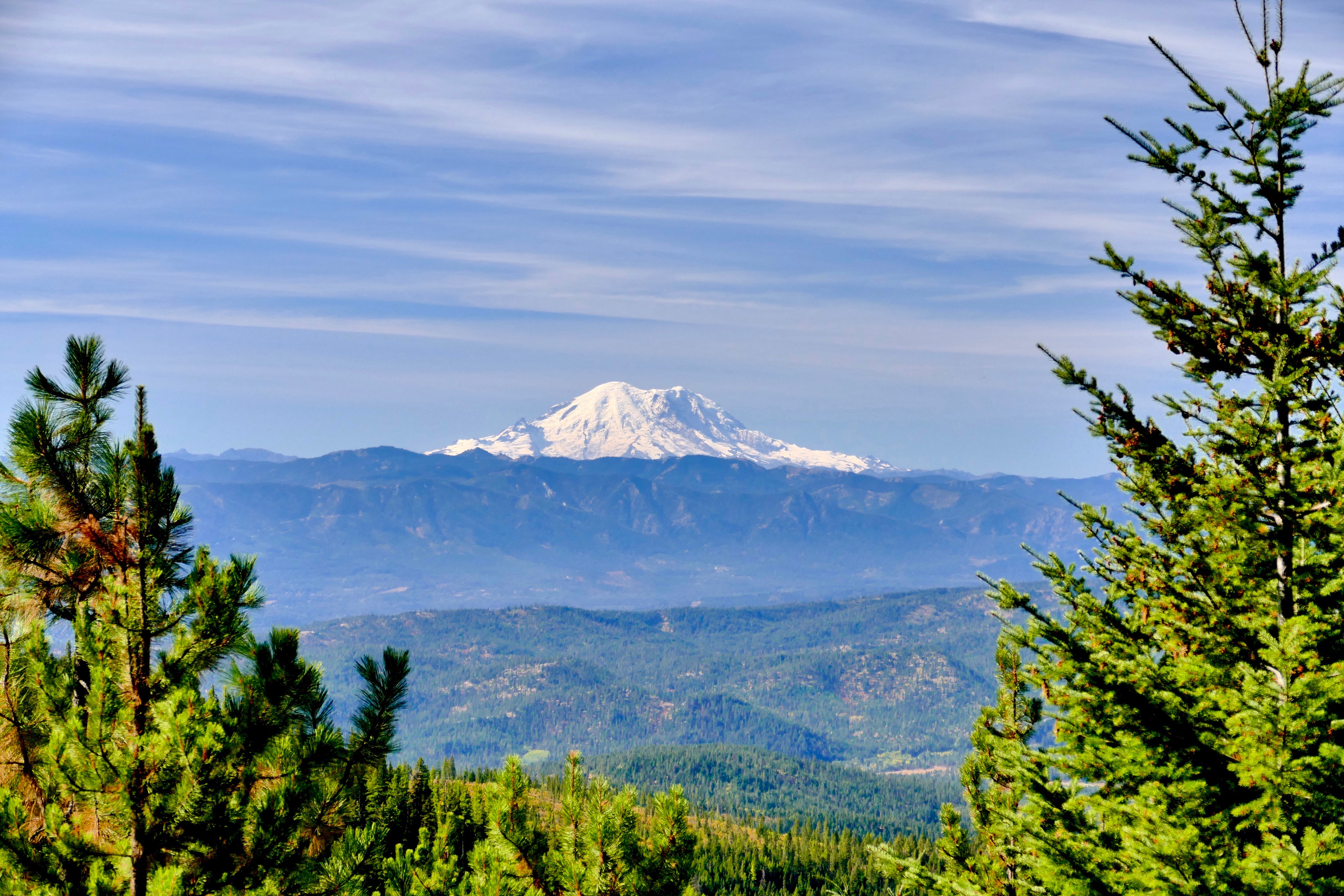
Mount Rainier
Swauk Prairie
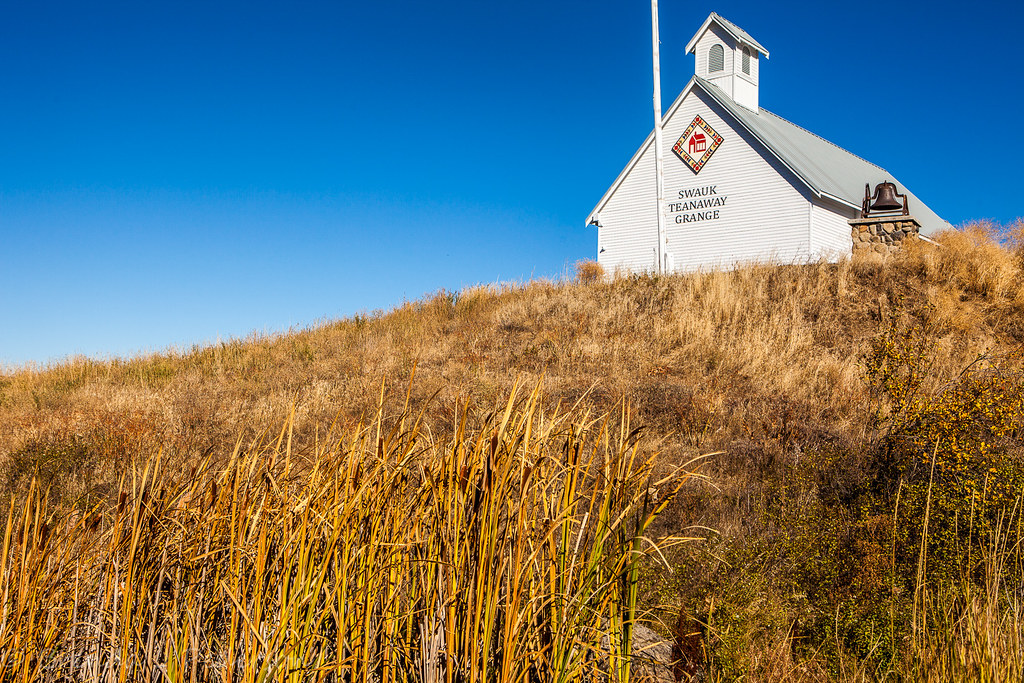
LIttle schoolhouse on the prarie
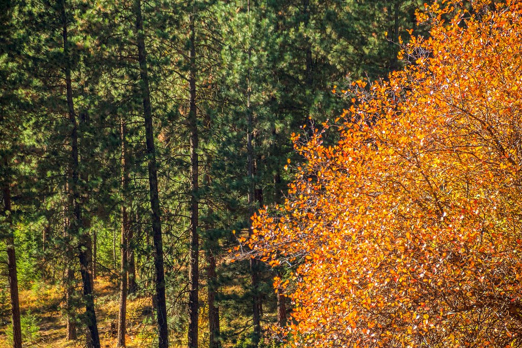
Liberty Colors
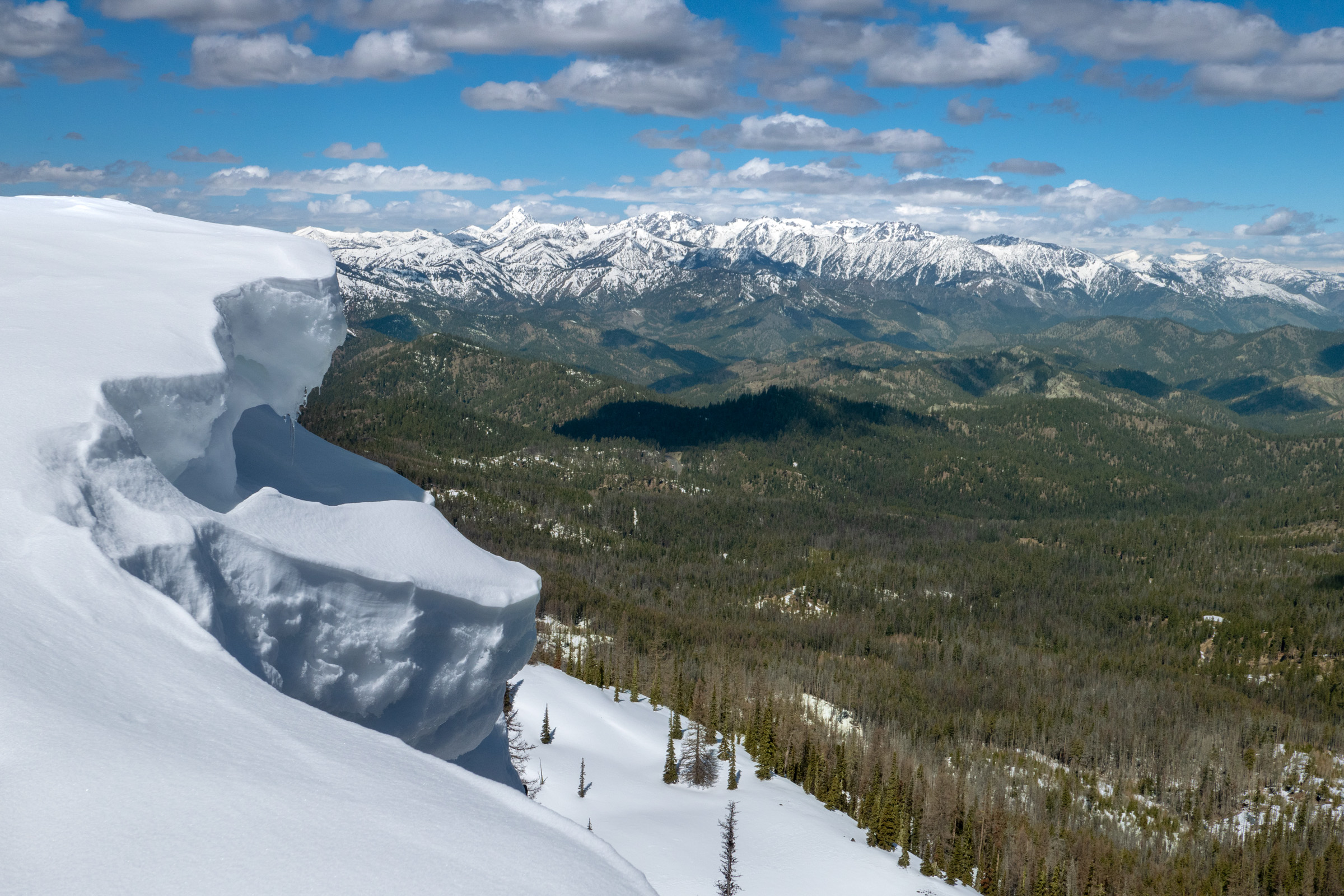
Fire & Ice
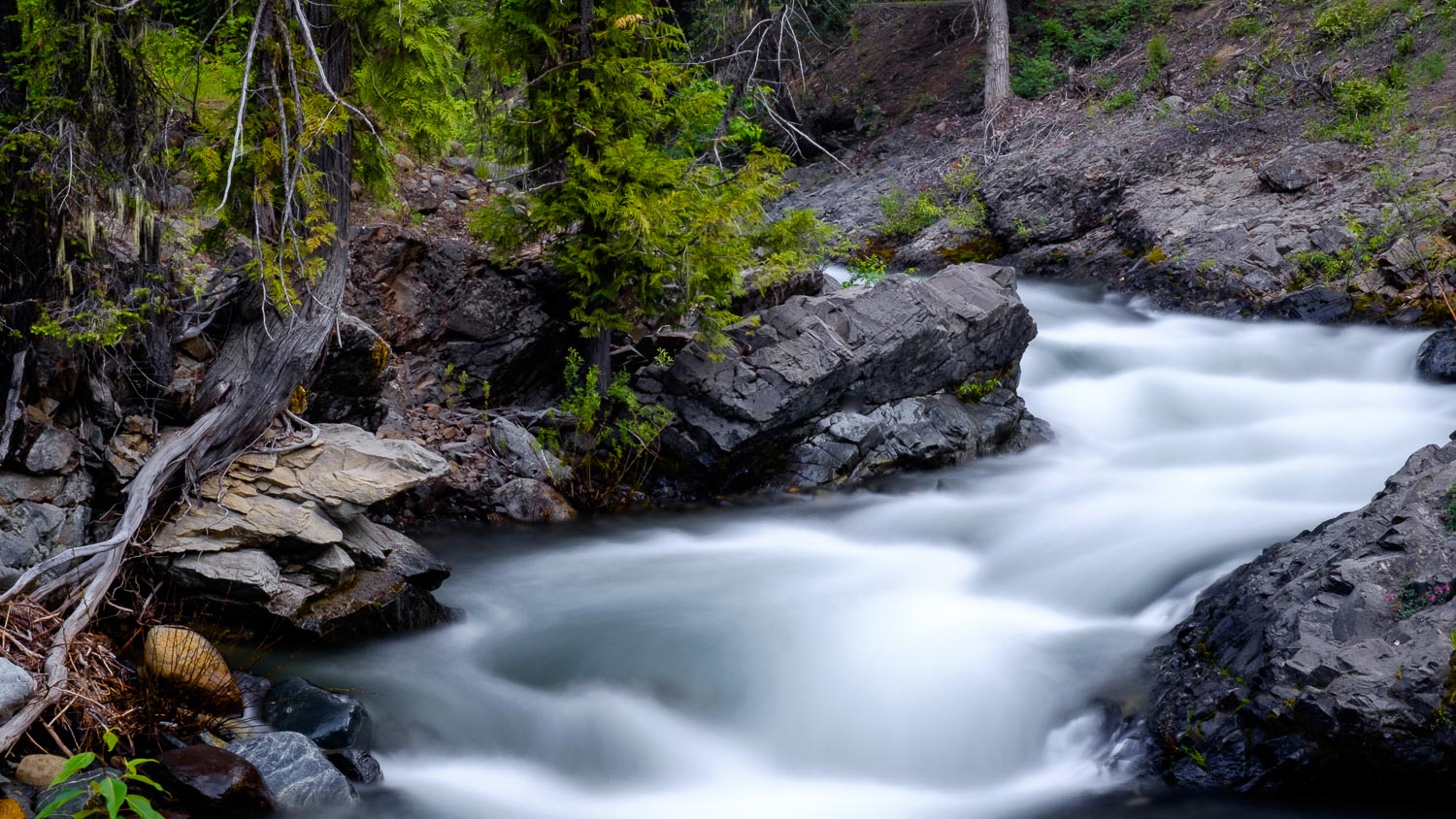
North Fork Teanaway River
Napa valley
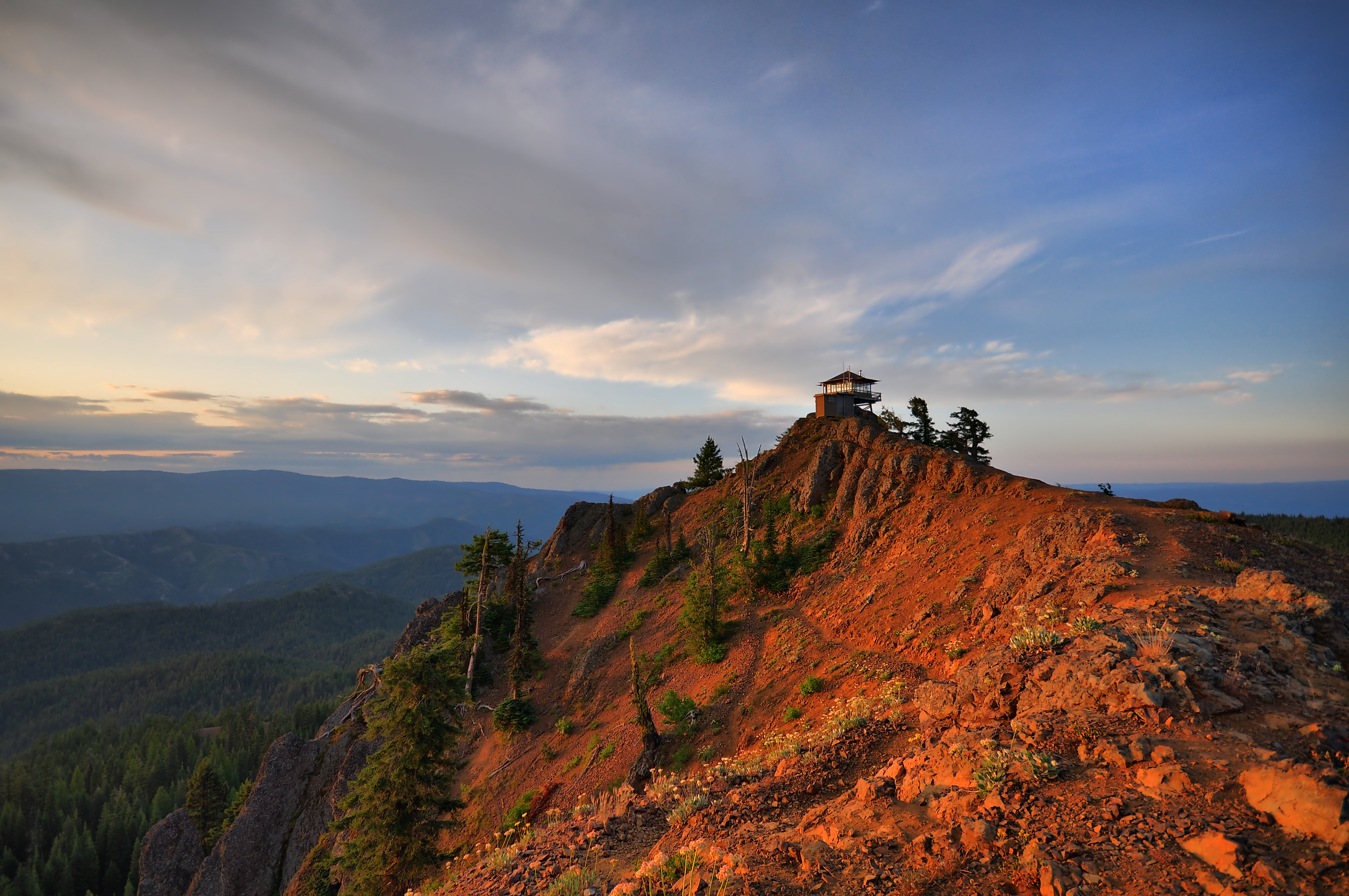
Red Top Lookout July 25, 2009 morning/HDR
The Stuart Range
Topographic Map of Mineral Springs Resort, US-97, Cle Elum, WA, USA
Find elevation by address:

Places near Mineral Springs Resort, US-97, Cle Elum, WA, USA:
Liberty
140 Williams Creek Rd
1450 Harkness Rd
Red Top Lookout
Miller Peak
Blewett Pass
Three Brothers-middle
Three Brothers West
Teanaway Road North Fork
Navajo Peak
1361 Lambert Rd
691 Morrison Canyon Ln
Earl Peak
Mcclellan Peak
3859 Old Blewett Rd
463 Pheasant Ln
10350 Us-97
The Temple
Columbia River
170 Casassa Rd
Recent Searches:
- Elevation of Congressional Dr, Stevensville, MD, USA
- Elevation of Bellview Rd, McLean, VA, USA
- Elevation of Stage Island Rd, Chatham, MA, USA
- Elevation of Shibuya Scramble Crossing, 21 Udagawacho, Shibuya City, Tokyo -, Japan
- Elevation of Jadagoniai, Kaunas District Municipality, Lithuania
- Elevation of Pagonija rock, Kranto 7-oji g. 8"N, Kaunas, Lithuania
- Elevation of Co Rd 87, Jamestown, CO, USA
- Elevation of Tenjo, Cundinamarca, Colombia
- Elevation of Côte-des-Neiges, Montreal, QC H4A 3J6, Canada
- Elevation of Bobcat Dr, Helena, MT, USA