Elevation of The Temple, Washington, USA
Location: United States > Washington > Leavenworth >
Longitude: -120.7689757
Latitude: 47.4903977
Elevation: 2376m / 7795feet
Barometric Pressure: 0KPa
Related Photos:

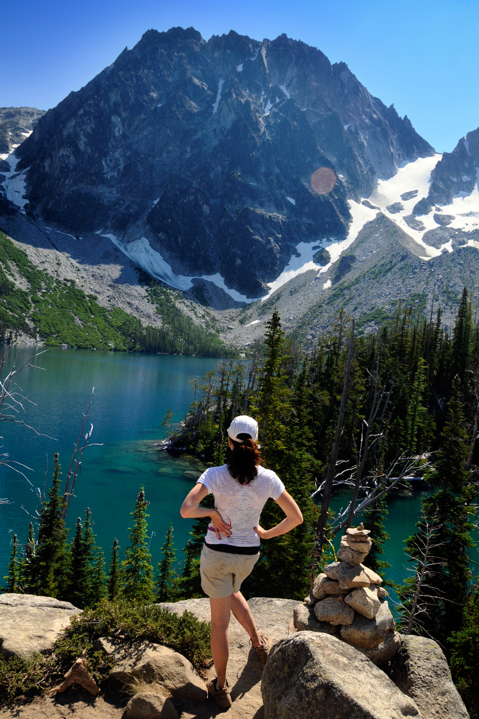
Jenny admires the view

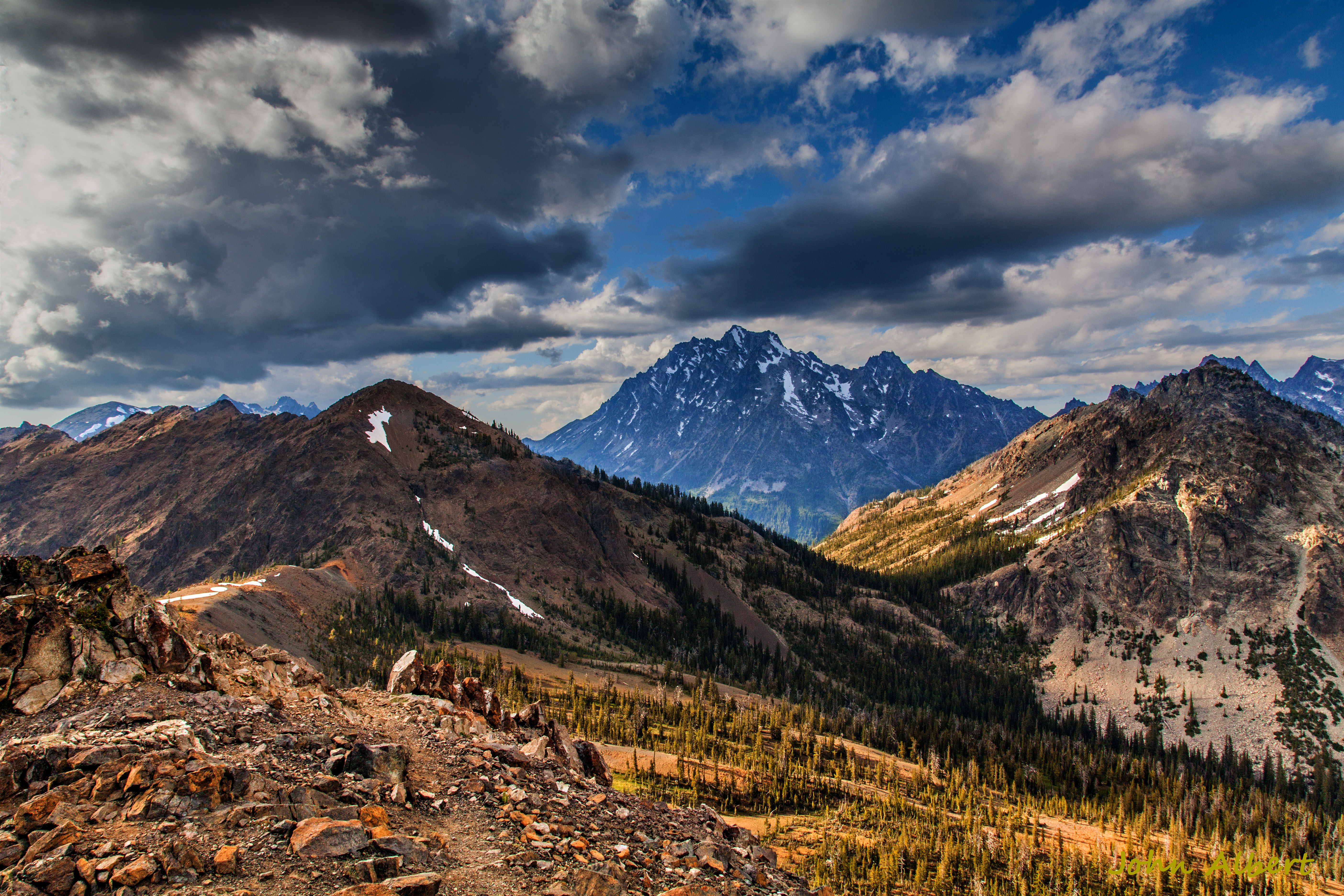
Our reward: an amazing view with Rainier in the background
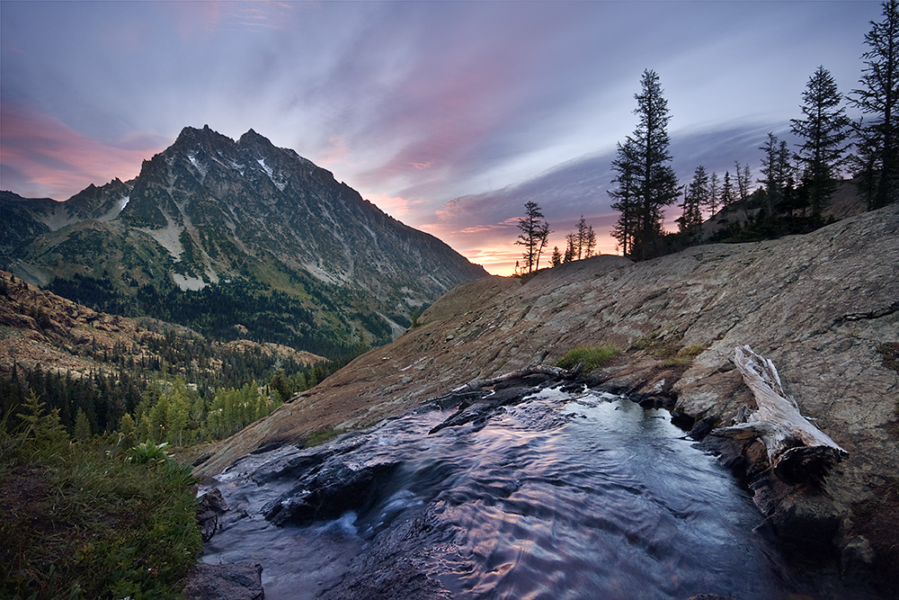
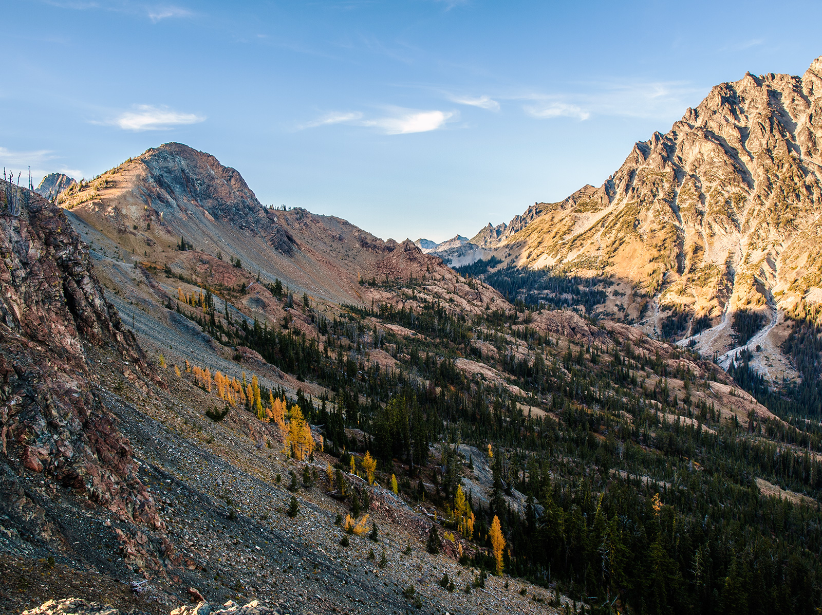
Sunrise, Mount Stuart, Wenatchee National Forest

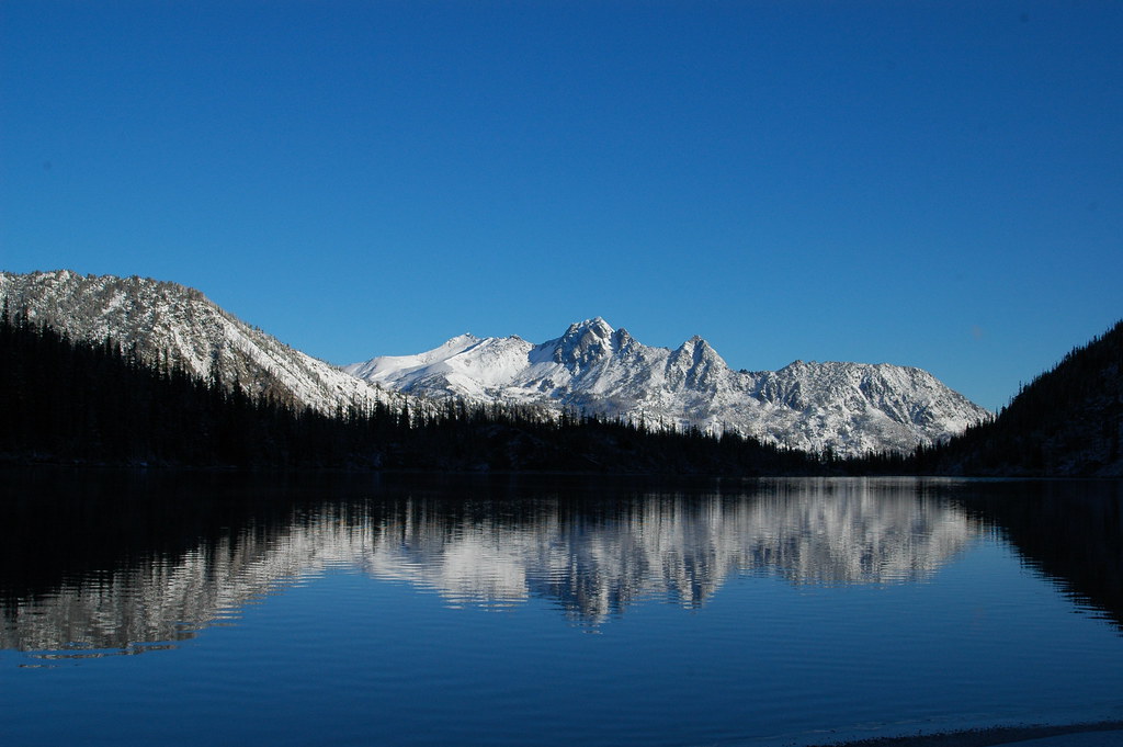
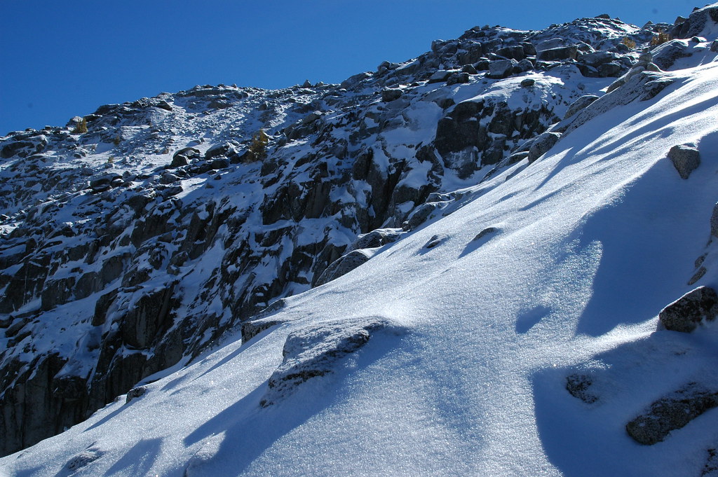
Descending to Snow Lake
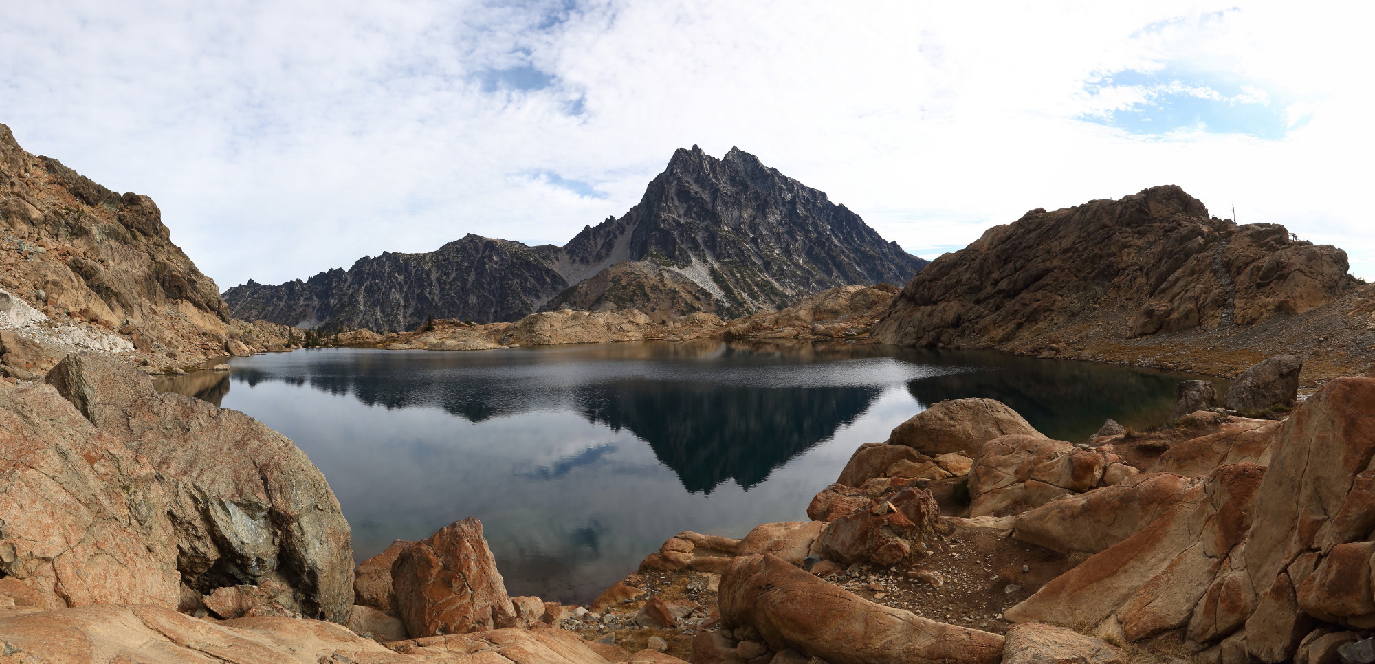
Ingalls Lk_stitch
Lake Ingalls and Mount Stewart

Ingalls Lake and Mt Stuart
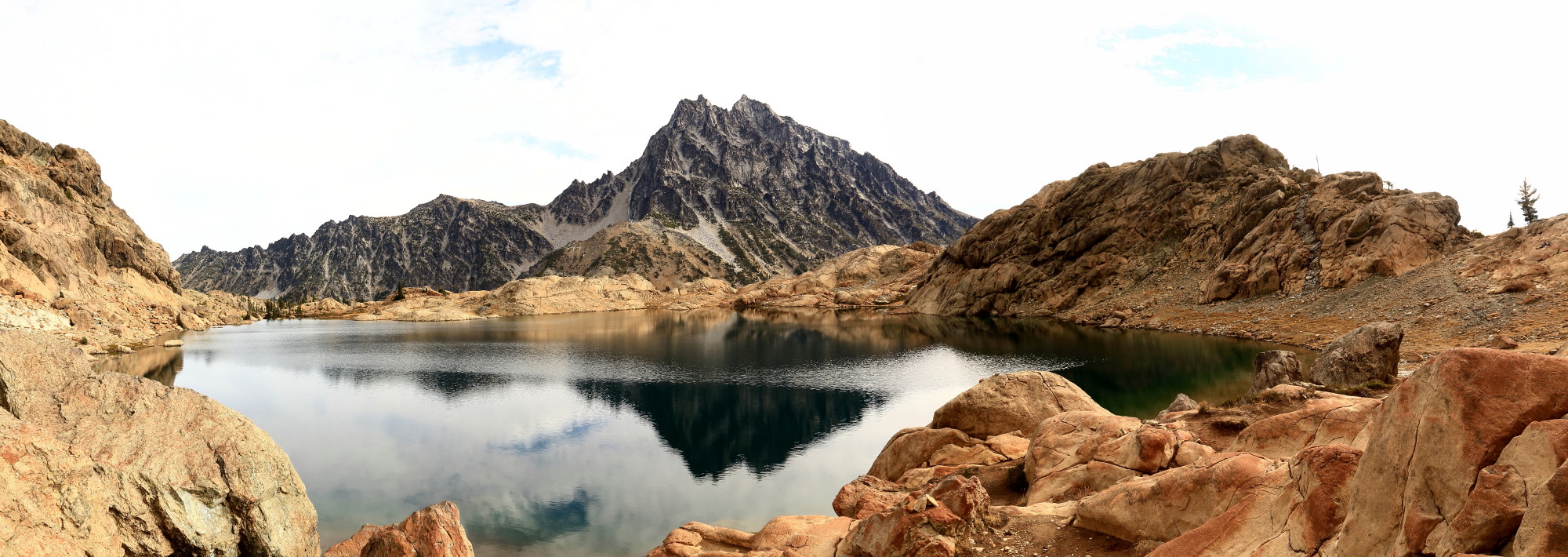
Ingalls Lk and Mt Stuart_stitch2
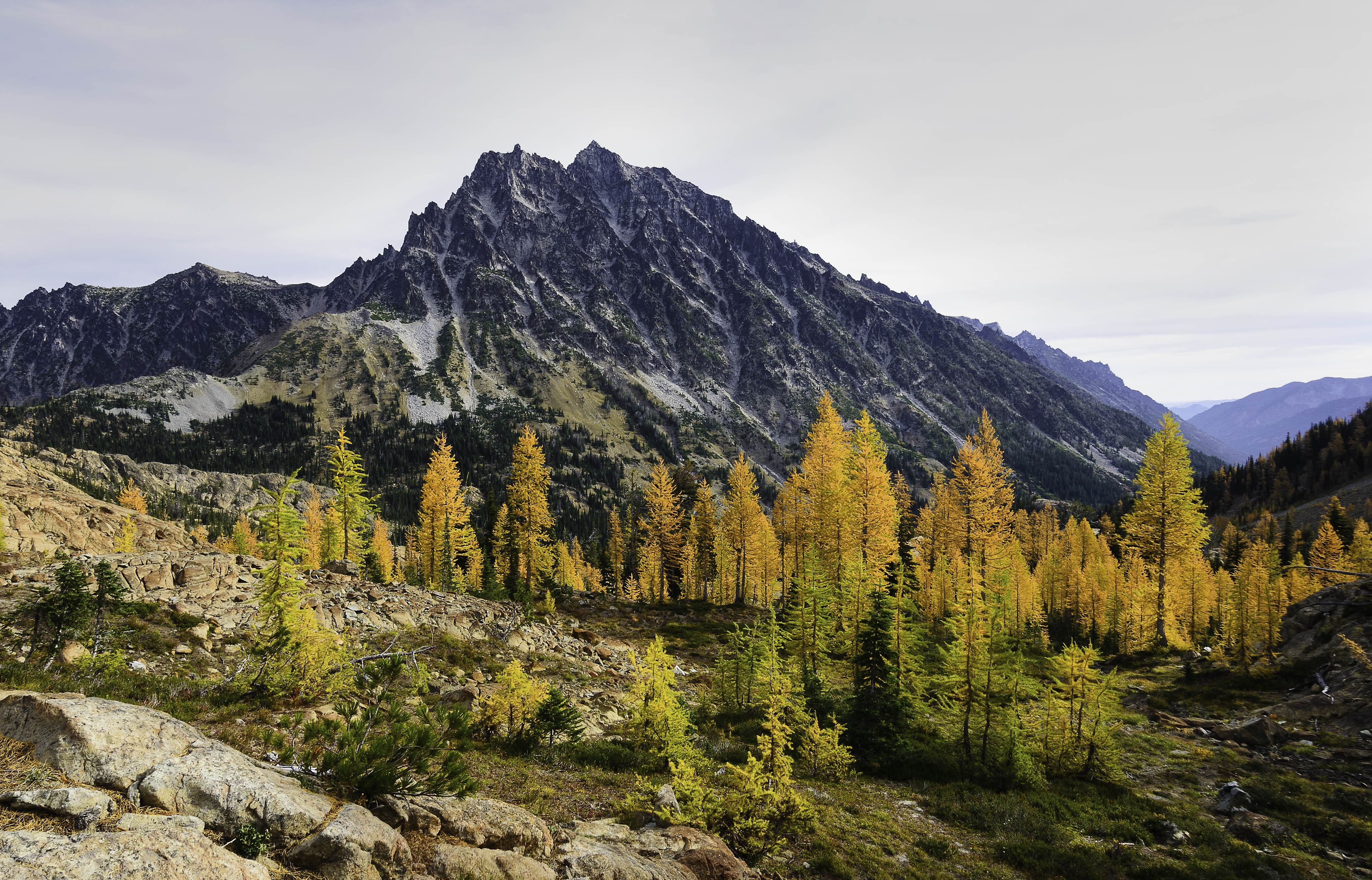
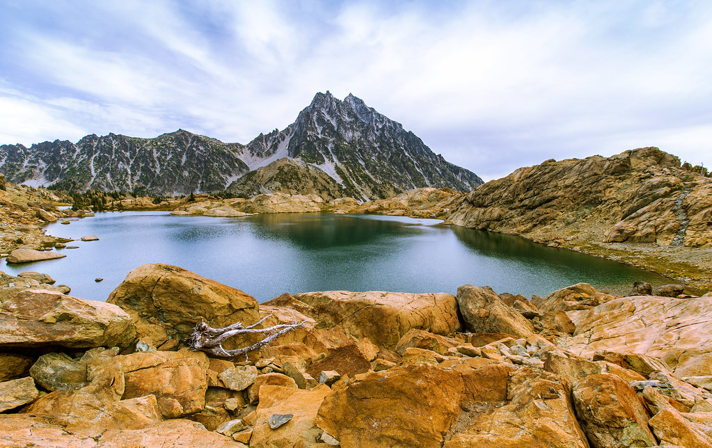
Mount Stuart
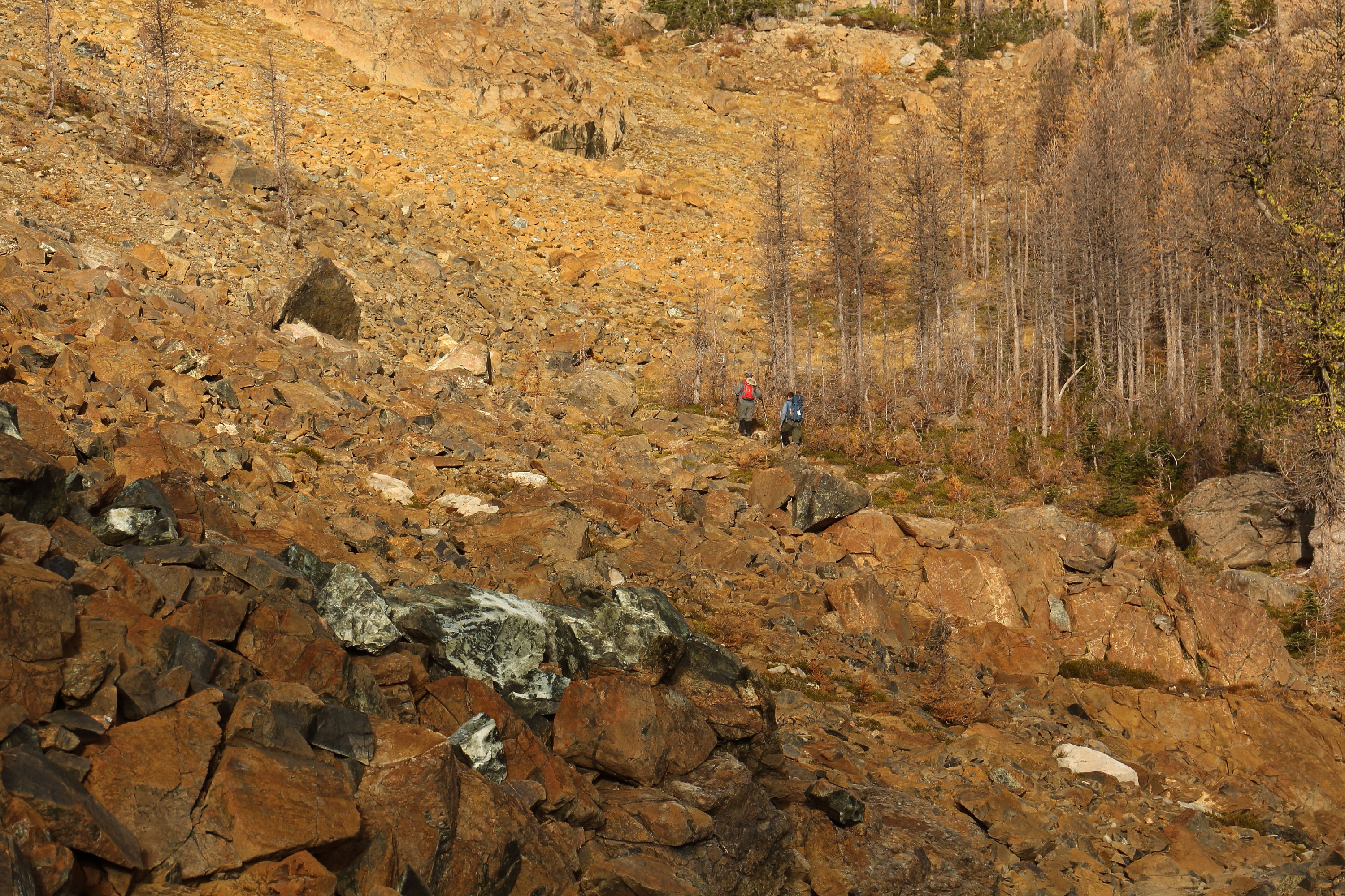
Hiking Ingalls Way Trail through Headlight Basin
The Northern End
The Iron View
Larch in the Basin
~outstanding~
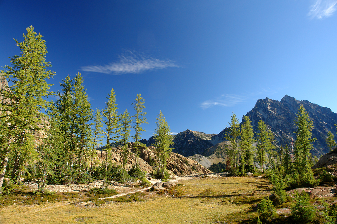
Larch Meadow
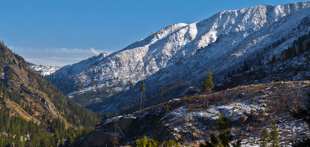
Icicle Creek Valley

Hanging On
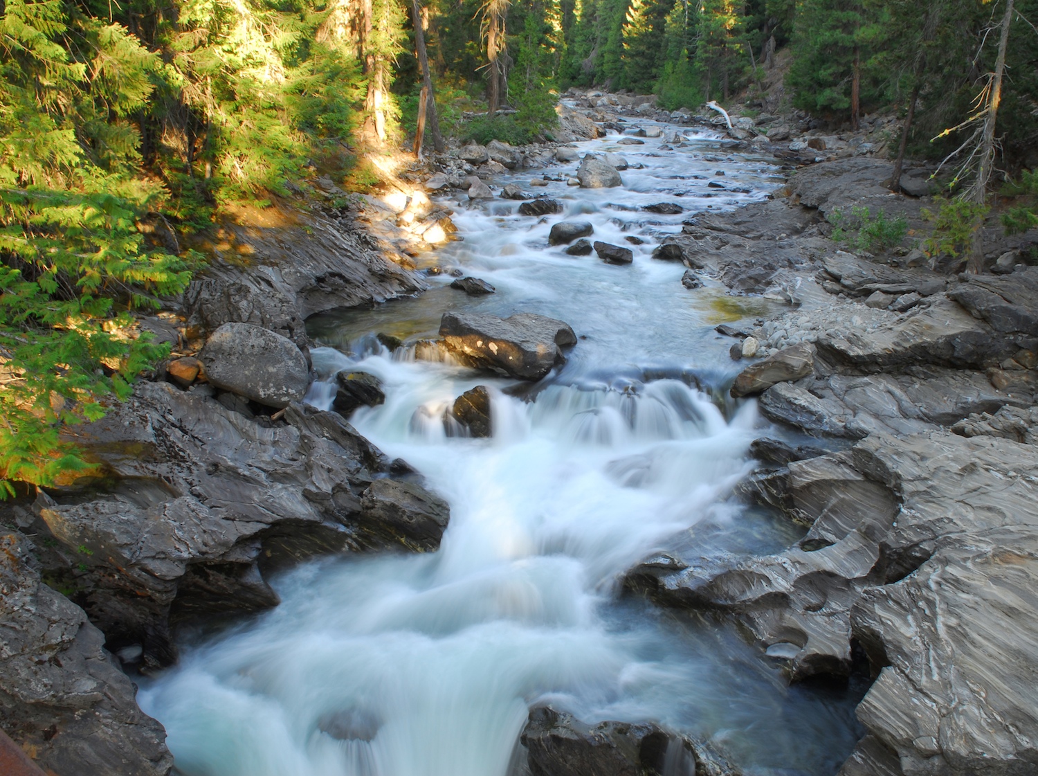
Rocky river
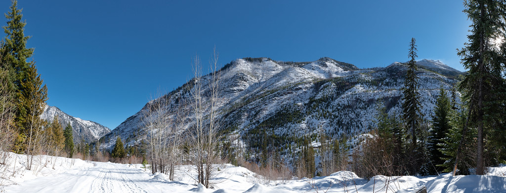
Icicle Creek Valley Highlands
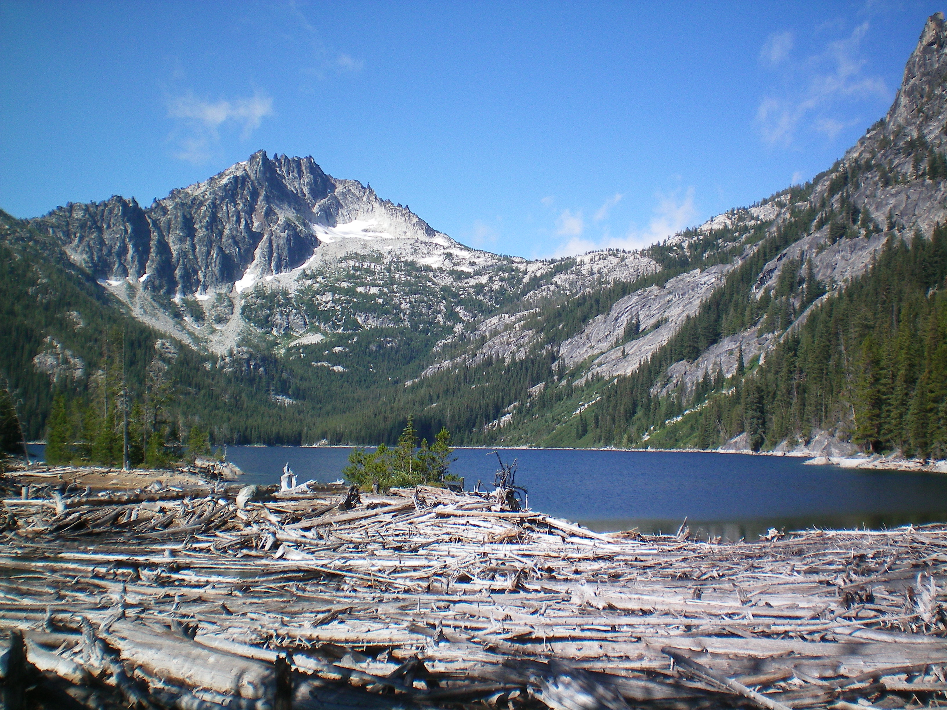
Last view of Upper Snow Lake on our way out
The Light
Topographic Map of The Temple, Washington, USA
Find elevation by address:

Places near The Temple, Washington, USA:
Mcclellan Peak
Edward Peak
Cannon Mountain
Eightmile Campground
Dragontail Peak
Colchuck Peak
Argonaut Peak
Sherpa Peak
10 Misty Meadow Ln
3859 Old Blewett Rd
Eightmile Mountain
Mount Stuart
Alpen Rose Inn
1174 Dempsey Rd
Tumwater Mountain
135 Stafford St
9312 E Leavenworth Rd
9575 E Leavenworth Rd
Leavenworth
414 Ash St
Recent Searches:
- Elevation map of Greenland, Greenland
- Elevation of Sullivan Hill, New York, New York, 10002, USA
- Elevation of Morehead Road, Withrow Downs, Charlotte, Mecklenburg County, North Carolina, 28262, USA
- Elevation of 2800, Morehead Road, Withrow Downs, Charlotte, Mecklenburg County, North Carolina, 28262, USA
- Elevation of Yangbi Yi Autonomous County, Yunnan, China
- Elevation of Pingpo, Yangbi Yi Autonomous County, Yunnan, China
- Elevation of Mount Malong, Pingpo, Yangbi Yi Autonomous County, Yunnan, China
- Elevation map of Yongping County, Yunnan, China
- Elevation of North 8th Street, Palatka, Putnam County, Florida, 32177, USA
- Elevation of 107, Big Apple Road, East Palatka, Putnam County, Florida, 32131, USA
- Elevation of Jiezi, Chongzhou City, Sichuan, China
- Elevation of Chongzhou City, Sichuan, China
- Elevation of Huaiyuan, Chongzhou City, Sichuan, China
- Elevation of Qingxia, Chengdu, Sichuan, China
- Elevation of Corso Fratelli Cairoli, 35, Macerata MC, Italy
- Elevation of Tallevast Rd, Sarasota, FL, USA
- Elevation of 4th St E, Sonoma, CA, USA
- Elevation of Black Hollow Rd, Pennsdale, PA, USA
- Elevation of Oakland Ave, Williamsport, PA, USA
- Elevation of Pedrógão Grande, Portugal