Elevation of Tampa, KS, USA
Location: United States > Kansas > Marion County > Blaine >
Longitude: -97.153077
Latitude: 38.5472314
Elevation: 434m / 1424feet
Barometric Pressure: 96KPa
Elevation Map:
Satellite Map:
Related Photos:

Days Gone By
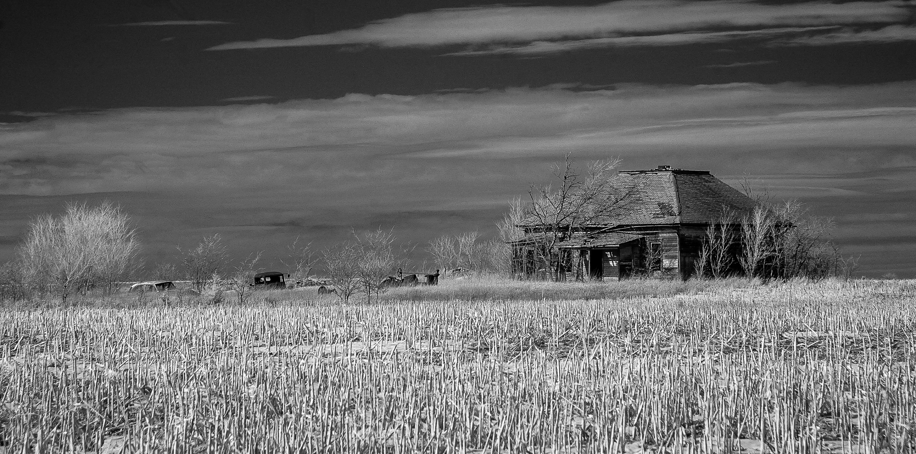
Moved On

Ramona Co-op (explore)

Pano just before the big shelf

Kenzie doing her tornado dance

20160526-IMG_4390

Somewhere in Kansas
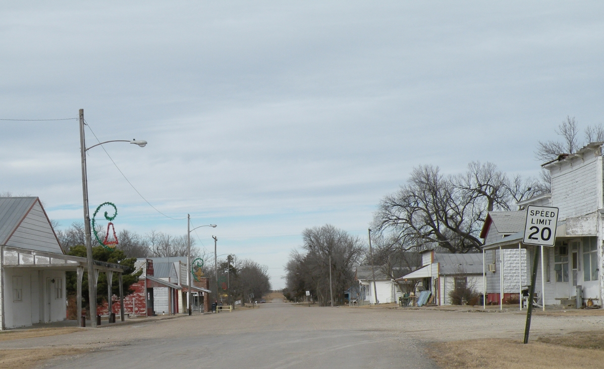
Downtown Business District
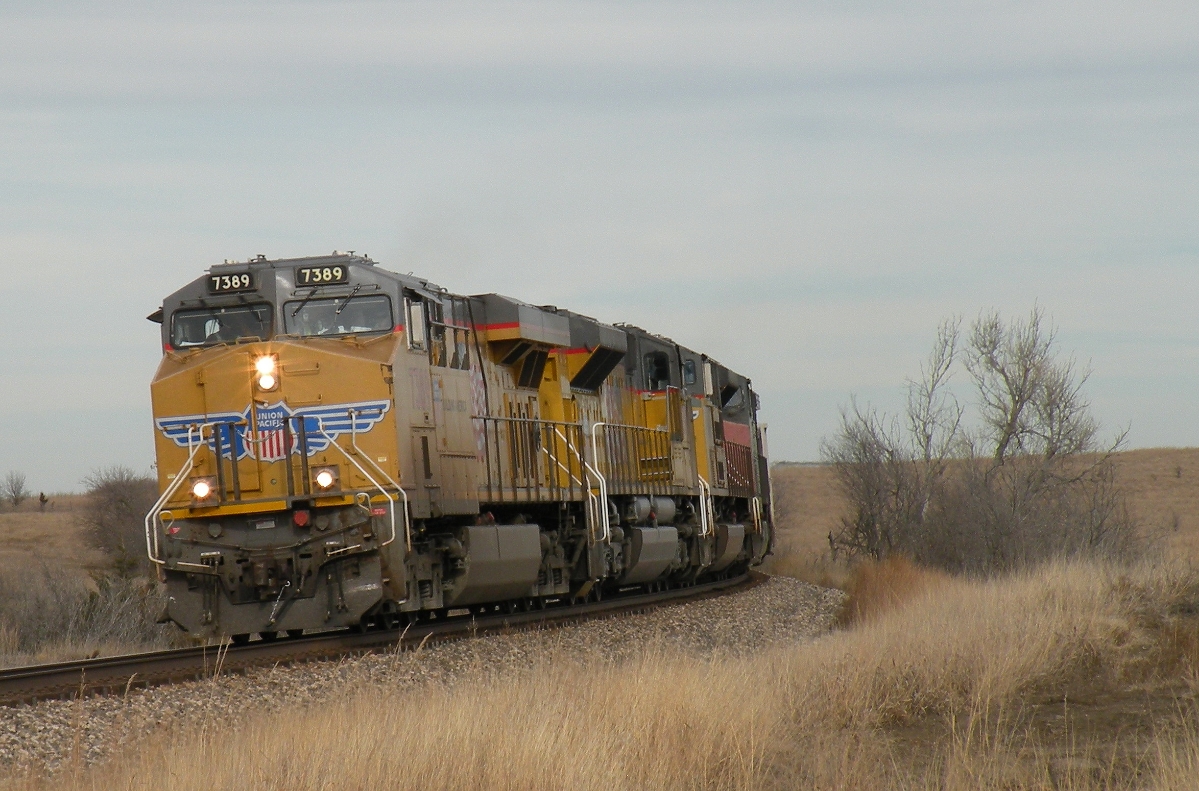
UP 7389 West
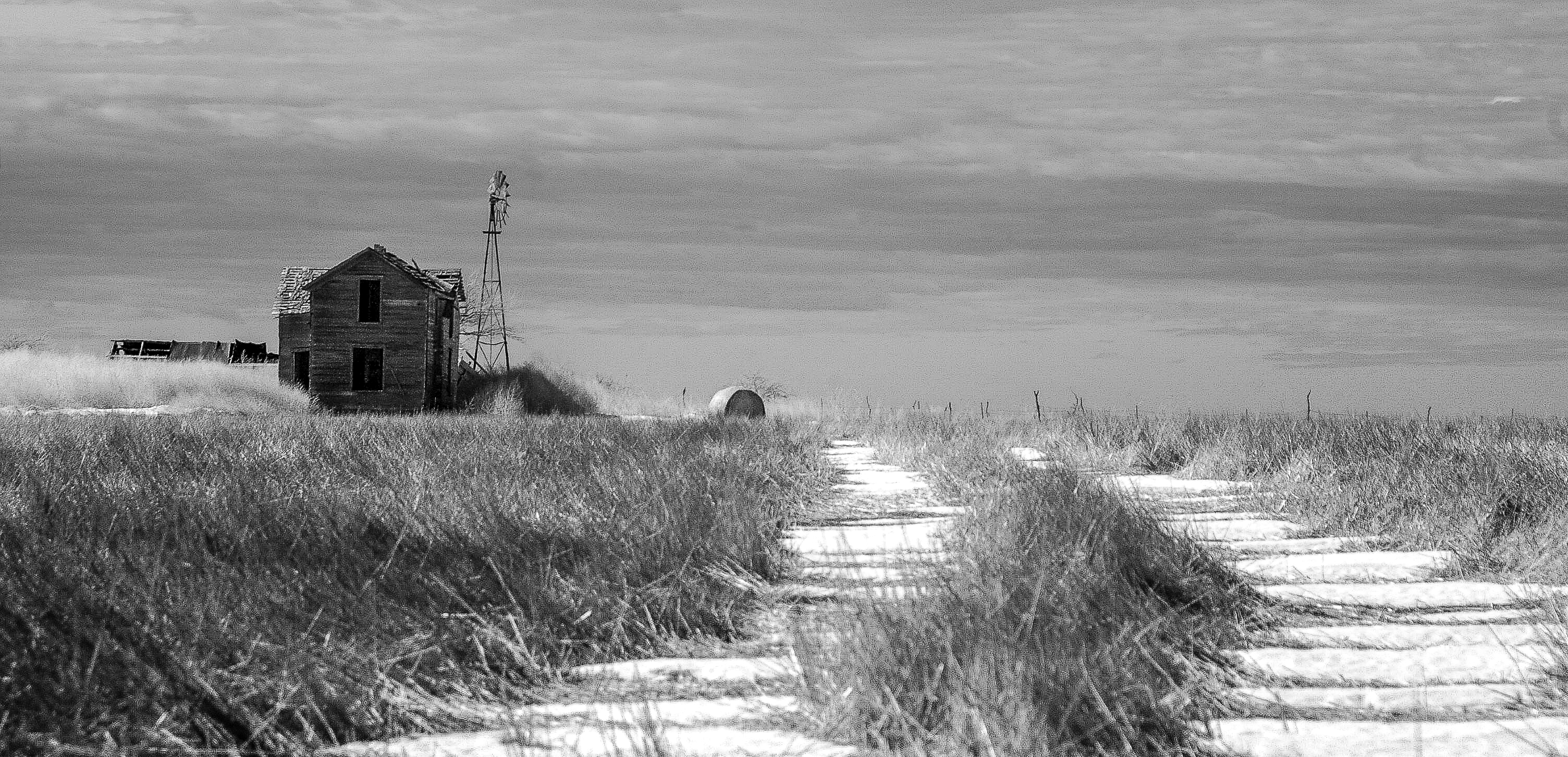
Winters Silence
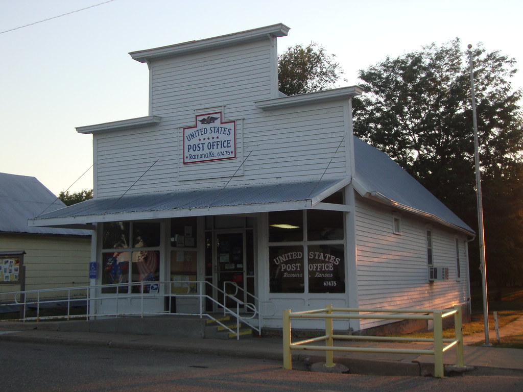
Post Office 67475 (Ramona, Kansas)

Post Office 67438 (Durham, Kansas)

Bull Durham Tobacco Sign (Durham, Kansas)

American Hero

Svitka's Garag

no longer available
Topographic Map of Tampa, KS, USA
Find elevation by address:

Places in Tampa, KS, USA:
Places near Tampa, KS, USA:
Lincoln Ave, Tampa, KS, USA
Blaine
Hope
th St, Marion, KS, USA
Key Rd, Hope, KS, USA
Hope
Gale
Nighthawk Rd, Hillsboro, KS, USA
Marion County
Hillsboro
405 S Ash St
Ridge
Bison Rd, Lehigh, KS, USA
1135 Ks-43
1147 Ks-43
Lehigh
Lehigh
Eden Rd, Abilene, KS, USA
Hillsboro, KS, USA
1552 Main St
Recent Searches:
- Elevation of Groblershoop, South Africa
- Elevation of Power Generation Enterprises | Industrial Diesel Generators, Oak Ave, Canyon Country, CA, USA
- Elevation of Chesaw Rd, Oroville, WA, USA
- Elevation of N, Mt Pleasant, UT, USA
- Elevation of 6 Rue Jules Ferry, Beausoleil, France
- Elevation of Sattva Horizon, 4JC6+G9P, Vinayak Nagar, Kattigenahalli, Bengaluru, Karnataka, India
- Elevation of Great Brook Sports, Gold Star Hwy, Groton, CT, USA
- Elevation of 10 Mountain Laurels Dr, Nashua, NH, USA
- Elevation of 16 Gilboa Ln, Nashua, NH, USA
- Elevation of Laurel Rd, Townsend, TN, USA