Elevation of Eden Rd, Abilene, KS, USA
Location: United States > Kansas > Dickinson County > Wheatland >
Longitude: -97.279132
Latitude: 38.762052
Elevation: 374m / 1227feet
Barometric Pressure: 97KPa
Elevation Map:
Satellite Map:
Related Photos:

Twin Waterfalls

horse/sunset

Morning - 08
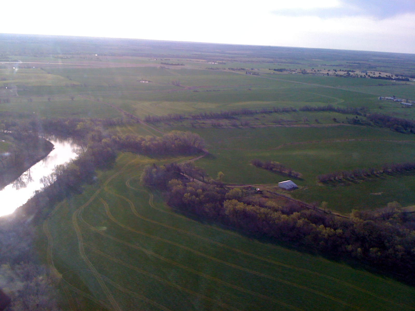
Day 1 Leg 1 Abilene KS 851
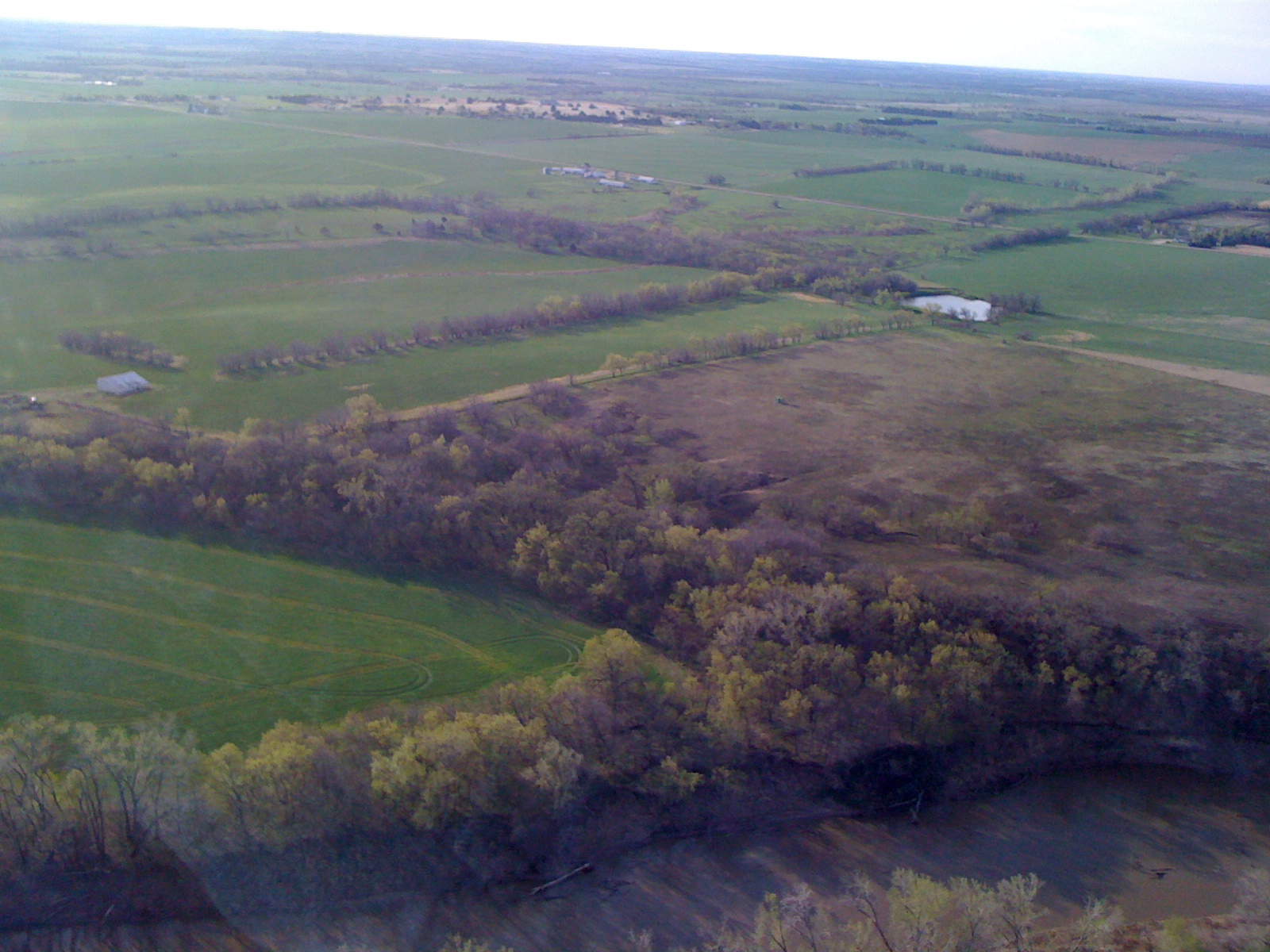
Day 1 Leg 1 Abilene KS 850

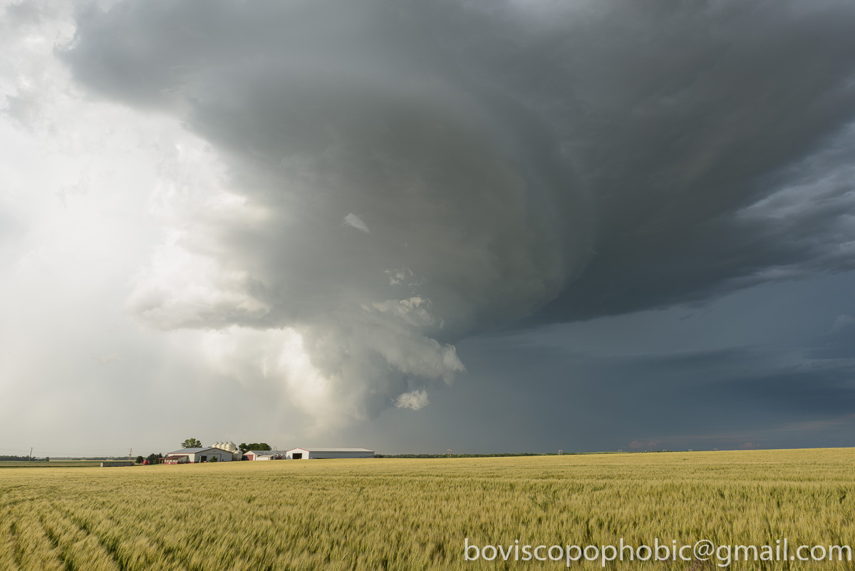
Windmill in storm on the Konza
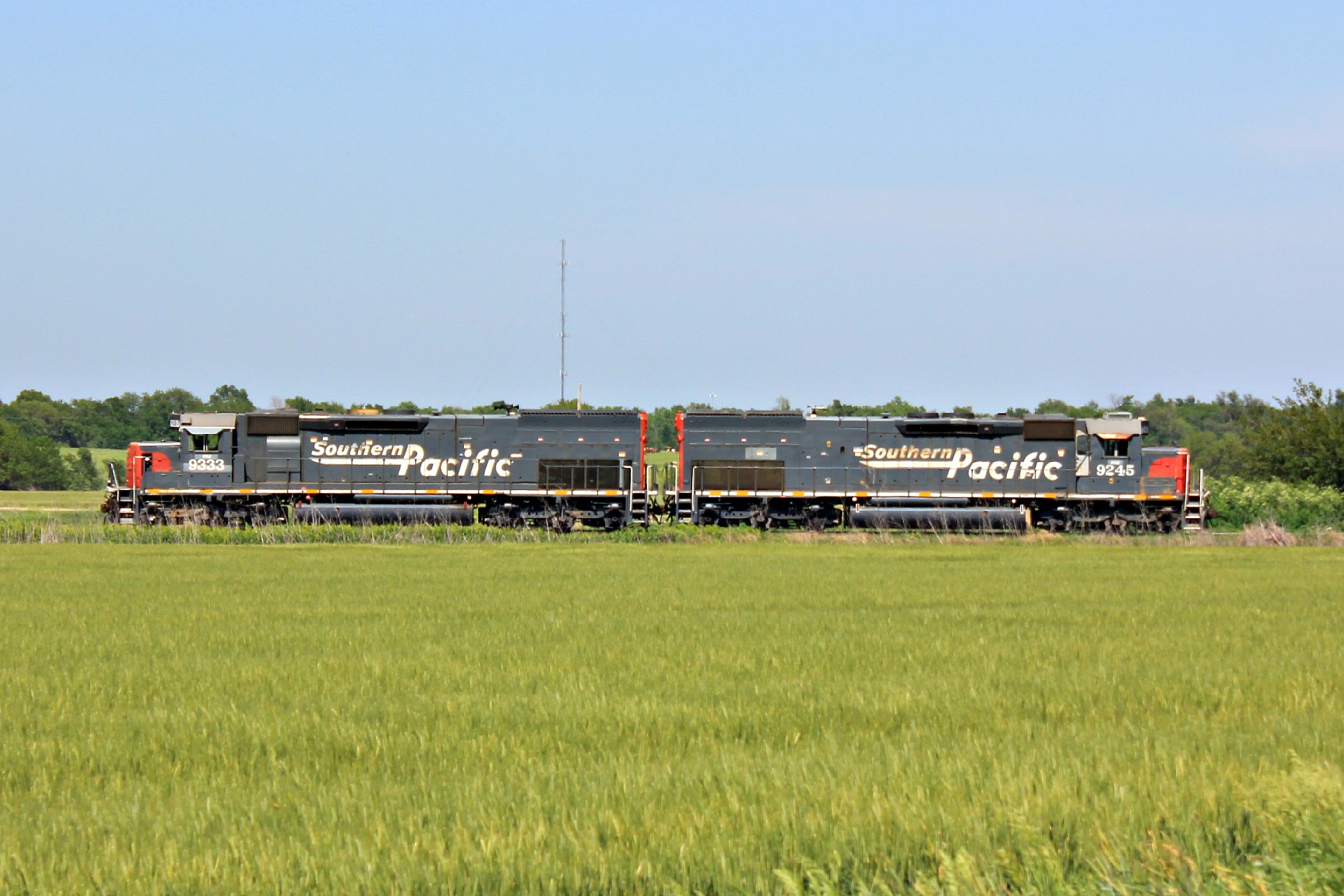
Southern Pacific

Last Breath of Summer
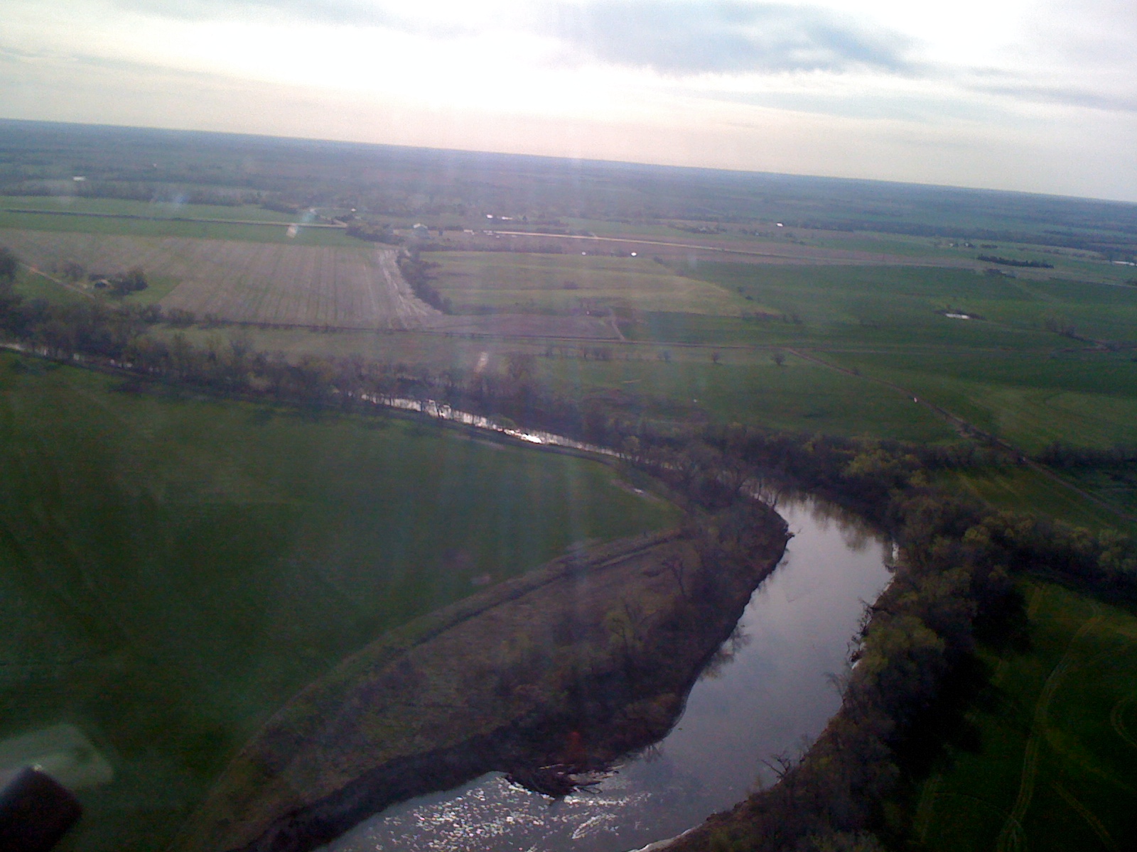
Day 1 Leg 1 Abilene KS 852
20150608-DET_2996.jpg
Topographic Map of Eden Rd, Abilene, KS, USA
Find elevation by address:

Places near Eden Rd, Abilene, KS, USA:
Wheatland
Fair Rd, Abilene, KS, USA
Newbern
Dickinson County
Eureka
Solomon
Key Rd, Hope, KS, USA
Lincoln
Gypsum
Ridge
Abilene
N Buckeye Ave, Abilene, KS, USA
E Main St, Salina, KS, USA
May St, Enterprise, KS, USA
Logan
Solomon
W 5th St, Solomon, KS, USA
1552 Main St
Hope
Blaine
Recent Searches:
- Elevation of Groblershoop, South Africa
- Elevation of Power Generation Enterprises | Industrial Diesel Generators, Oak Ave, Canyon Country, CA, USA
- Elevation of Chesaw Rd, Oroville, WA, USA
- Elevation of N, Mt Pleasant, UT, USA
- Elevation of 6 Rue Jules Ferry, Beausoleil, France
- Elevation of Sattva Horizon, 4JC6+G9P, Vinayak Nagar, Kattigenahalli, Bengaluru, Karnataka, India
- Elevation of Great Brook Sports, Gold Star Hwy, Groton, CT, USA
- Elevation of 10 Mountain Laurels Dr, Nashua, NH, USA
- Elevation of 16 Gilboa Ln, Nashua, NH, USA
- Elevation of Laurel Rd, Townsend, TN, USA