Elevation of Hope, KS, USA
Location: United States > Kansas > Dickinson County >
Longitude: -97.114403
Latitude: 38.6670582
Elevation: 414m / 1358feet
Barometric Pressure: 96KPa
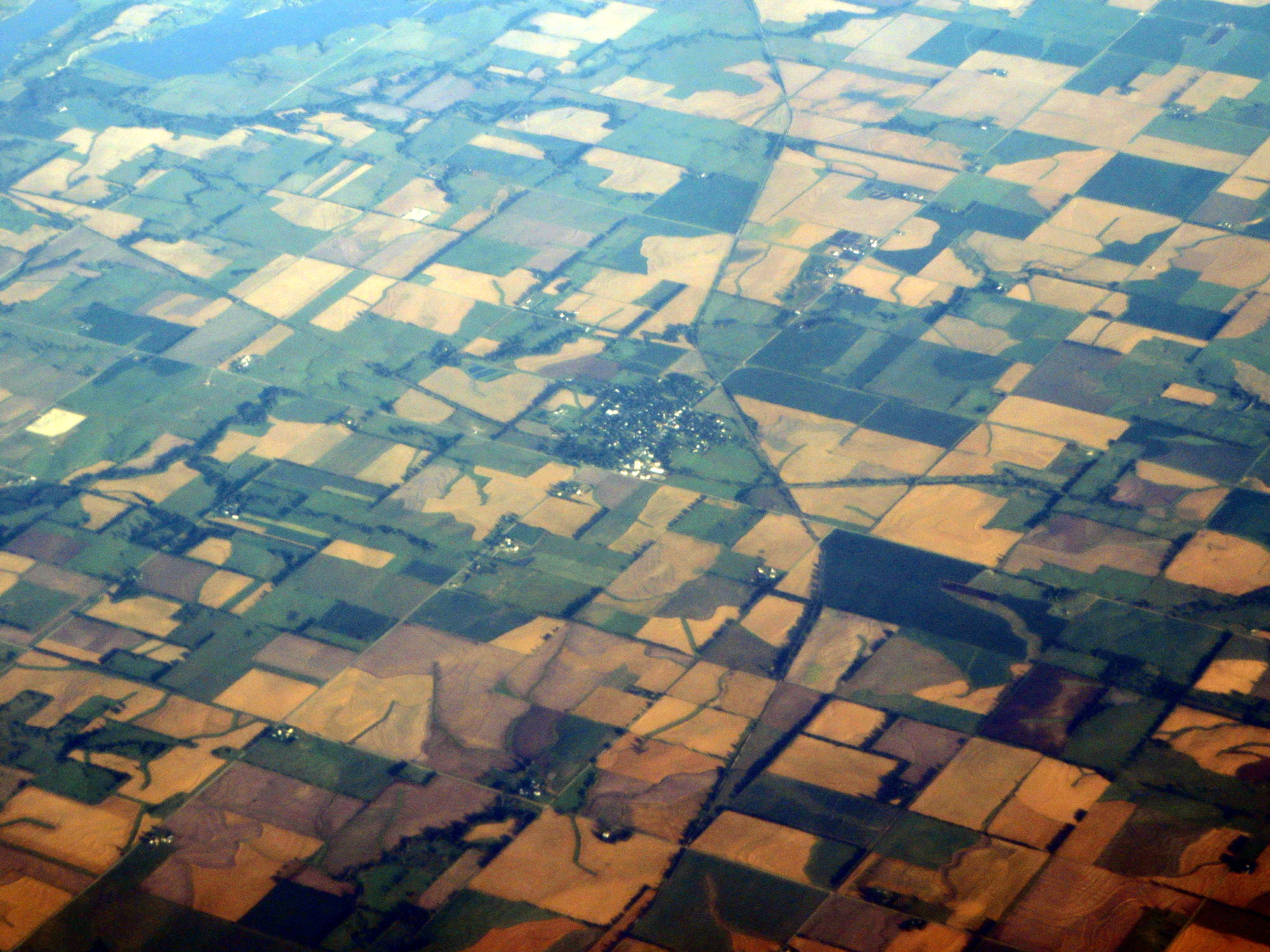
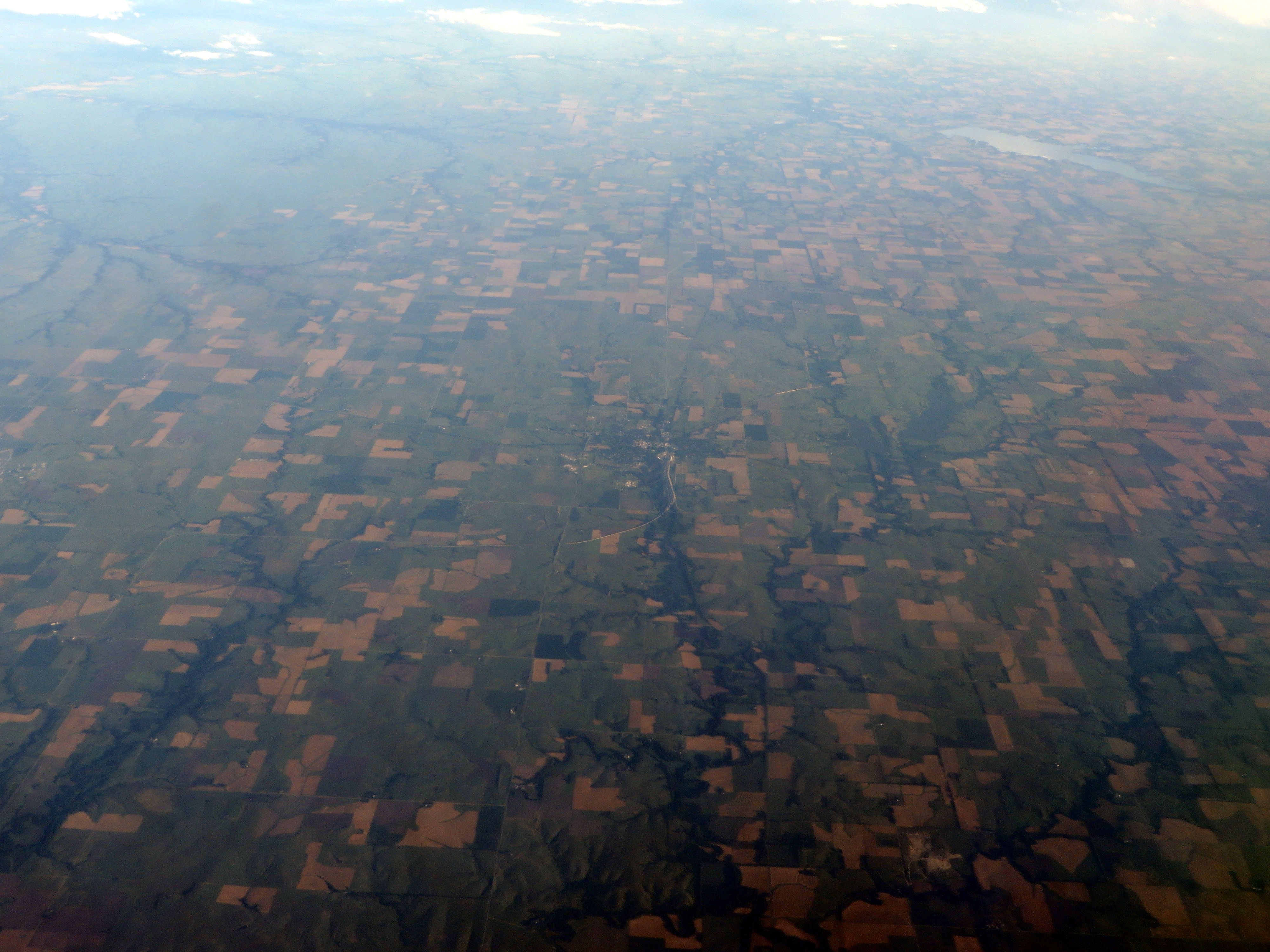
Elevation Map:
Satellite Map:
Related Photos:

horse/sunset
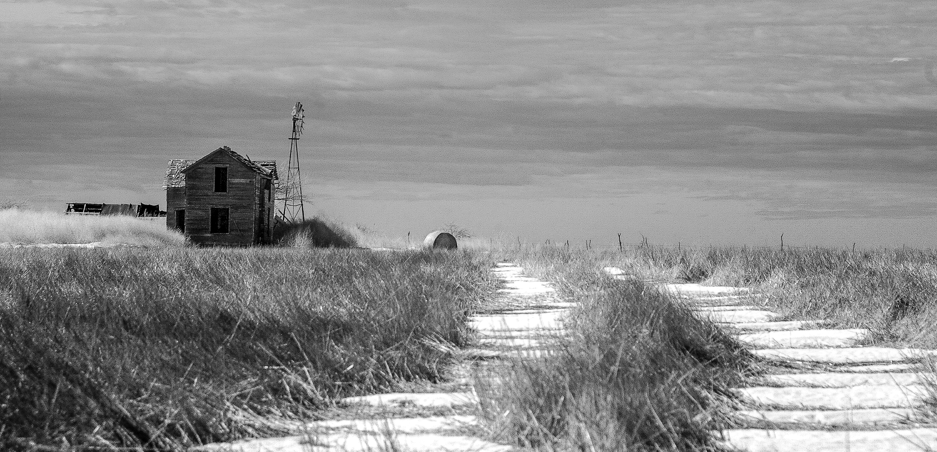
Moved On

Walking on a road

The Wheat

wind/sun

Ramona Co-op (explore)
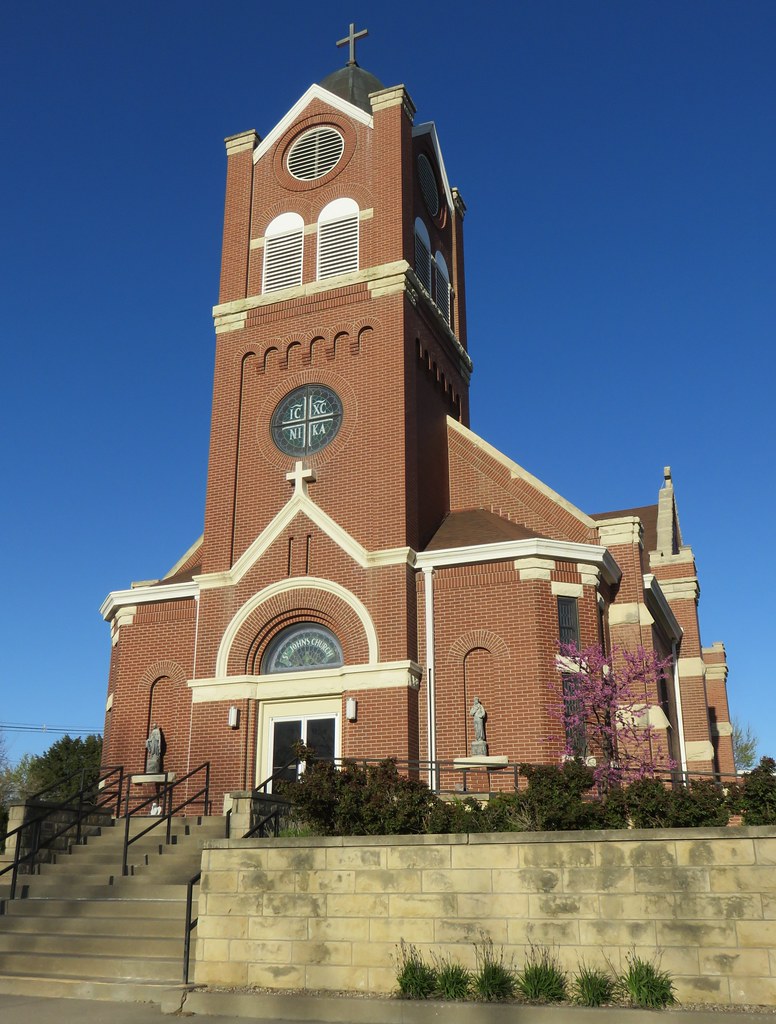
Saint Johns Catholic Church (Herington, Kansas)
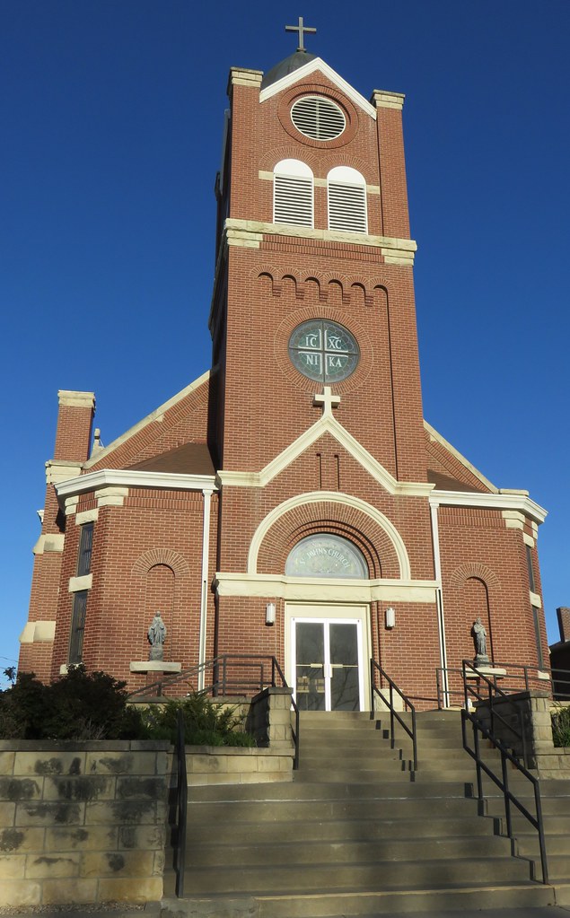
Saint Johns Catholic Church (Herington, Kansas)

New Moon #4: Low Joker & Lonely Lady - Hope, Kansas
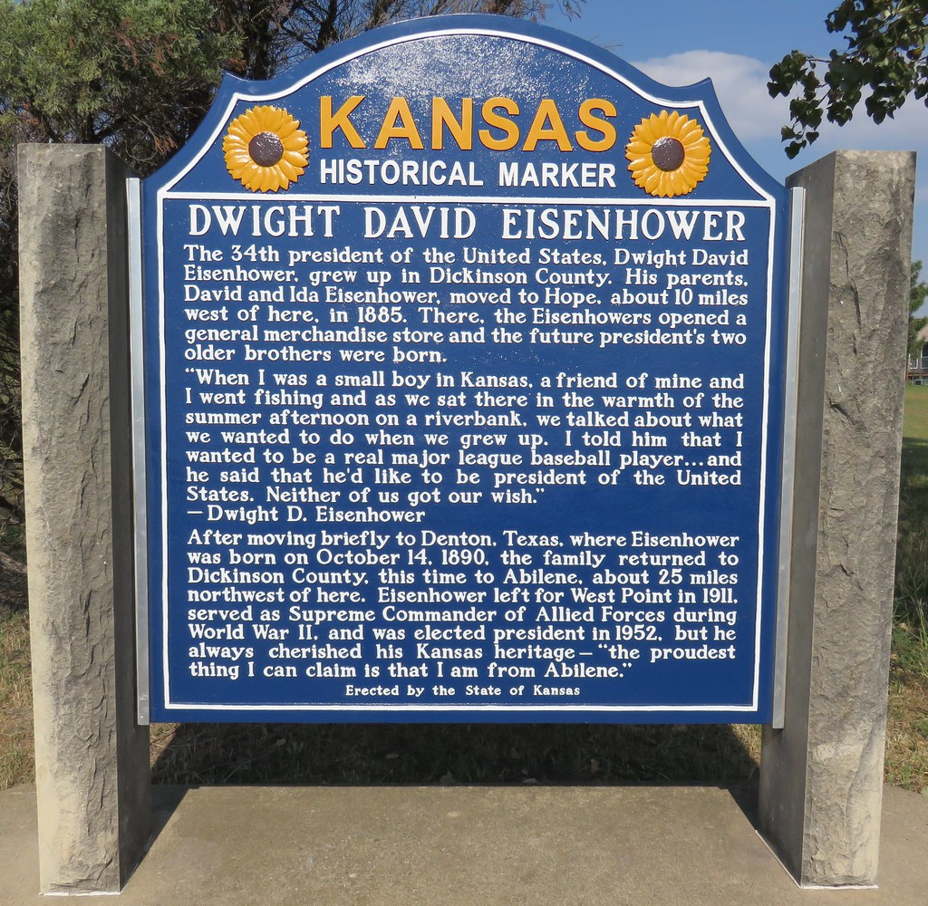
Dwight David Eisenhower Marker (Herington, Kansas)
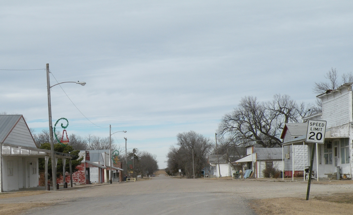
Downtown Business District
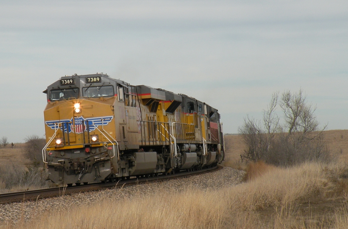
UP 7389 West
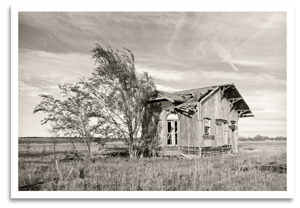
Navarre Depot
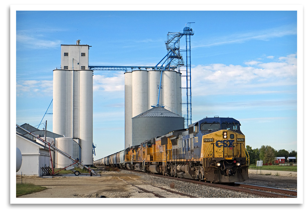
Navarre Elevator
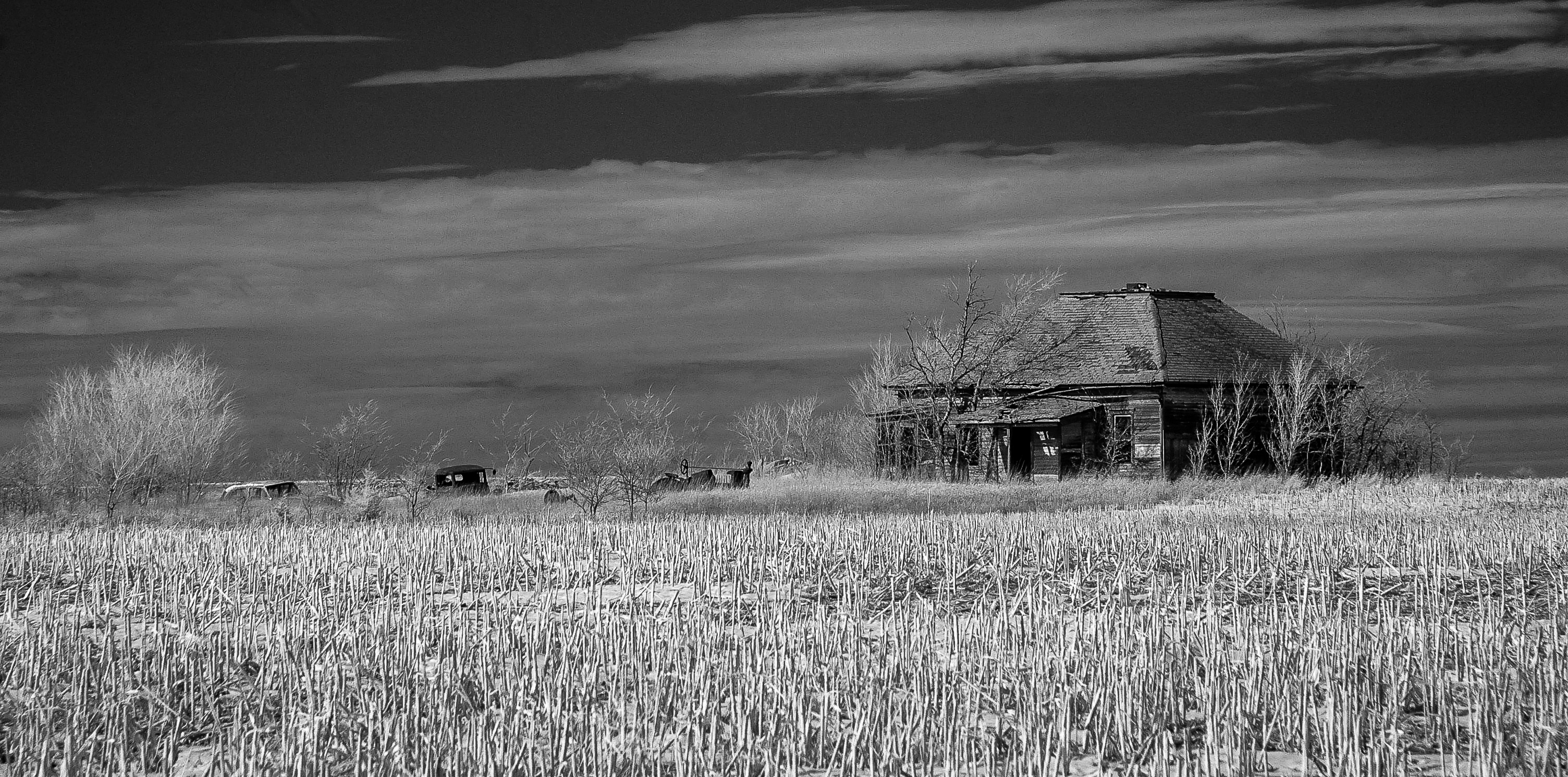
Hope, Kansas
Herington, Kansas
Winters Silence
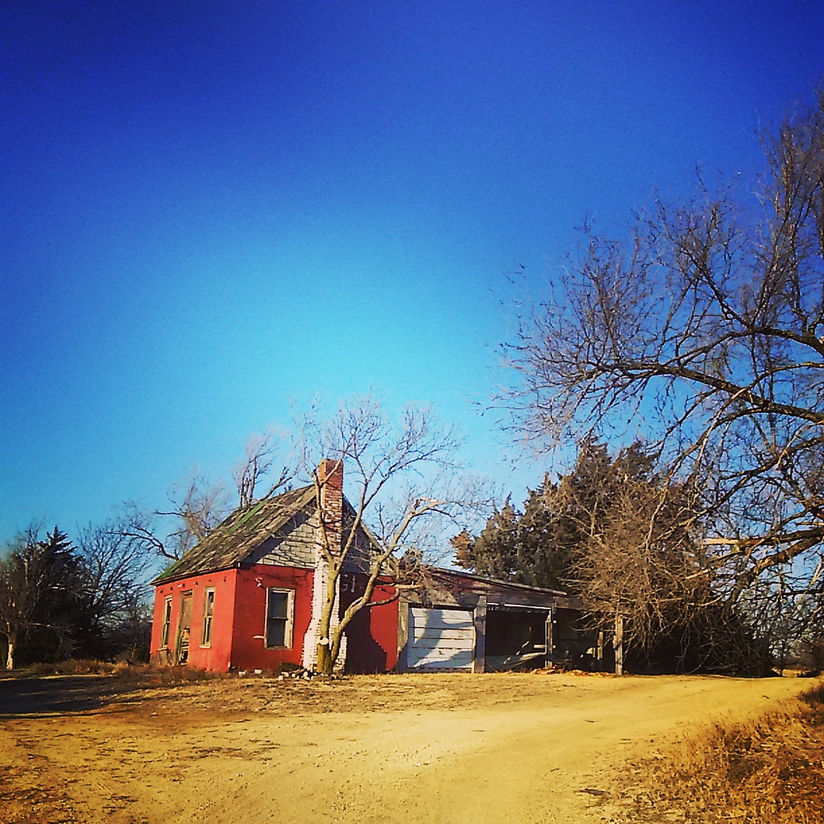
Abandoned near Abilene , Kansas
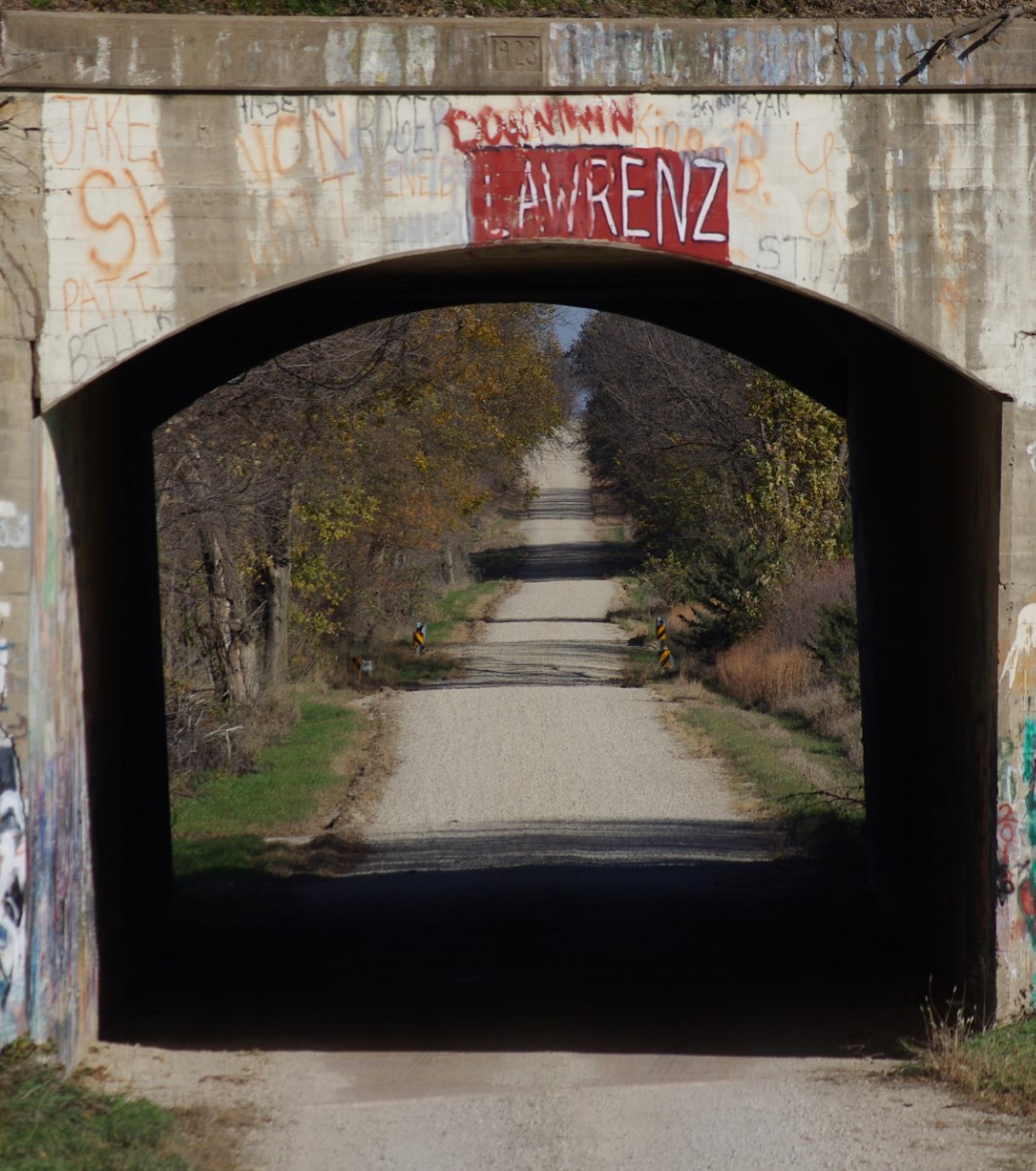
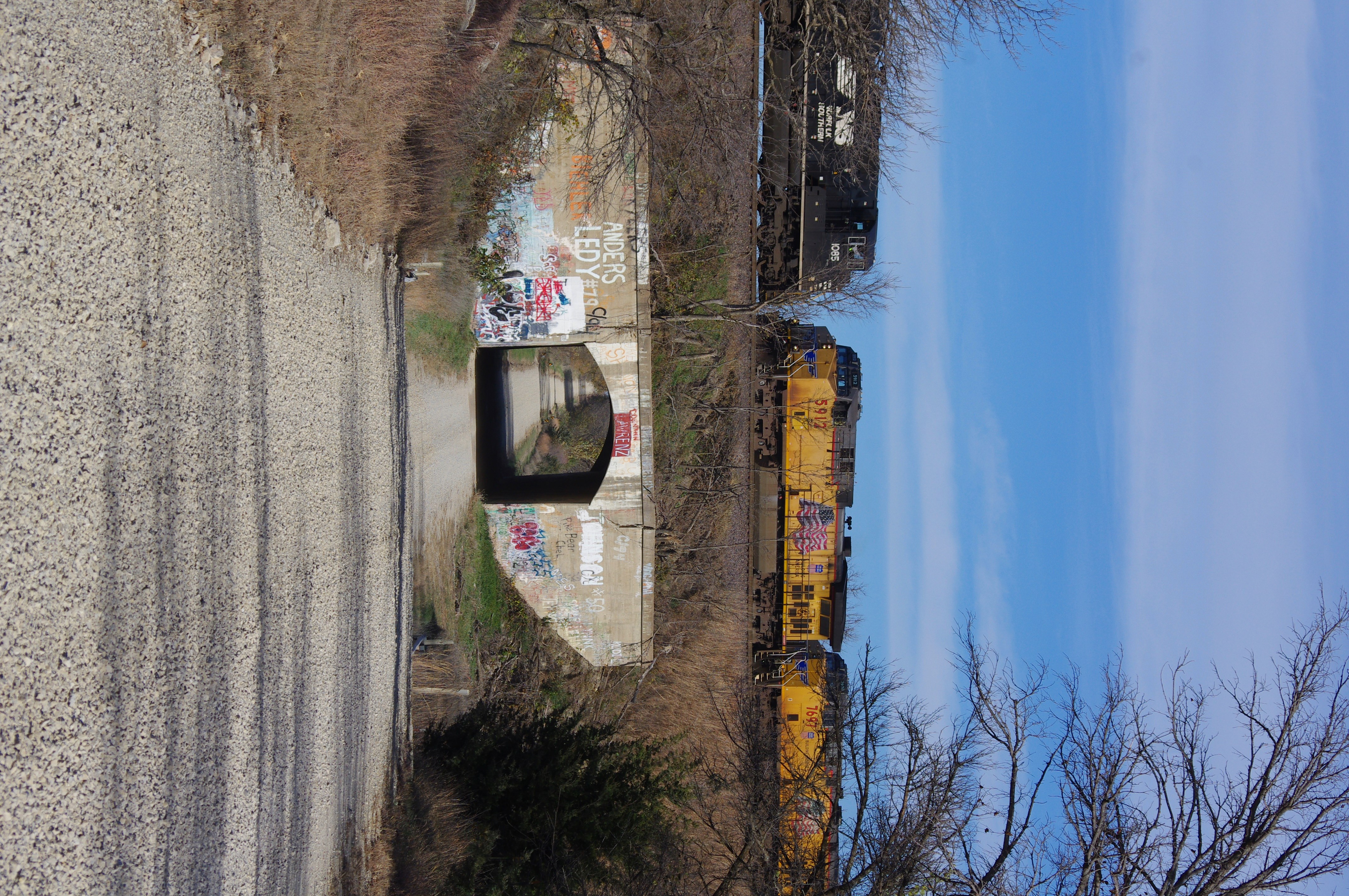
Vane Road "Tunnel"
Perfect Timing
Herington, Kansas
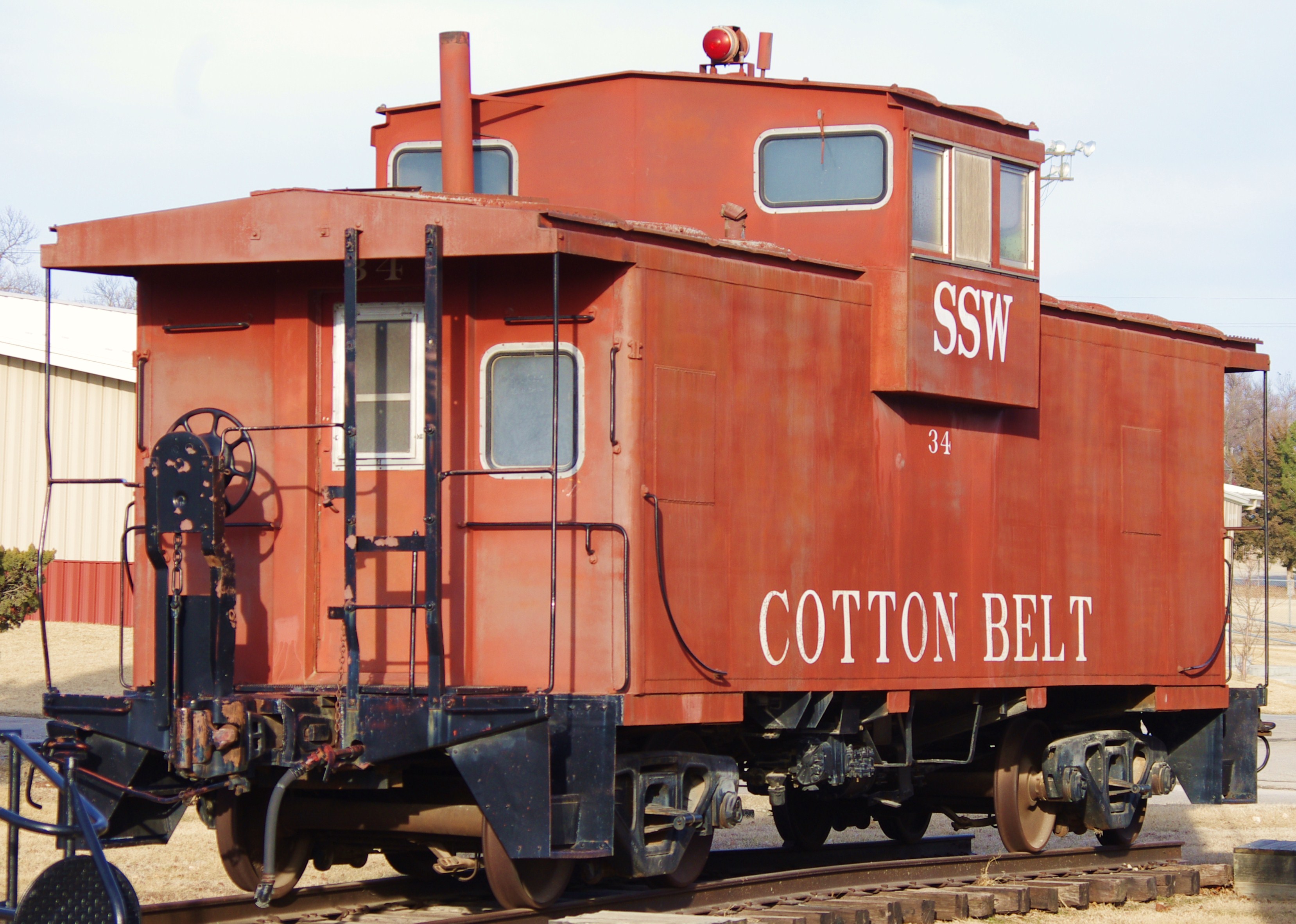
Cotton Belt #34

Camera Roll-1069

Camera Roll-1068

Camera Roll-1067
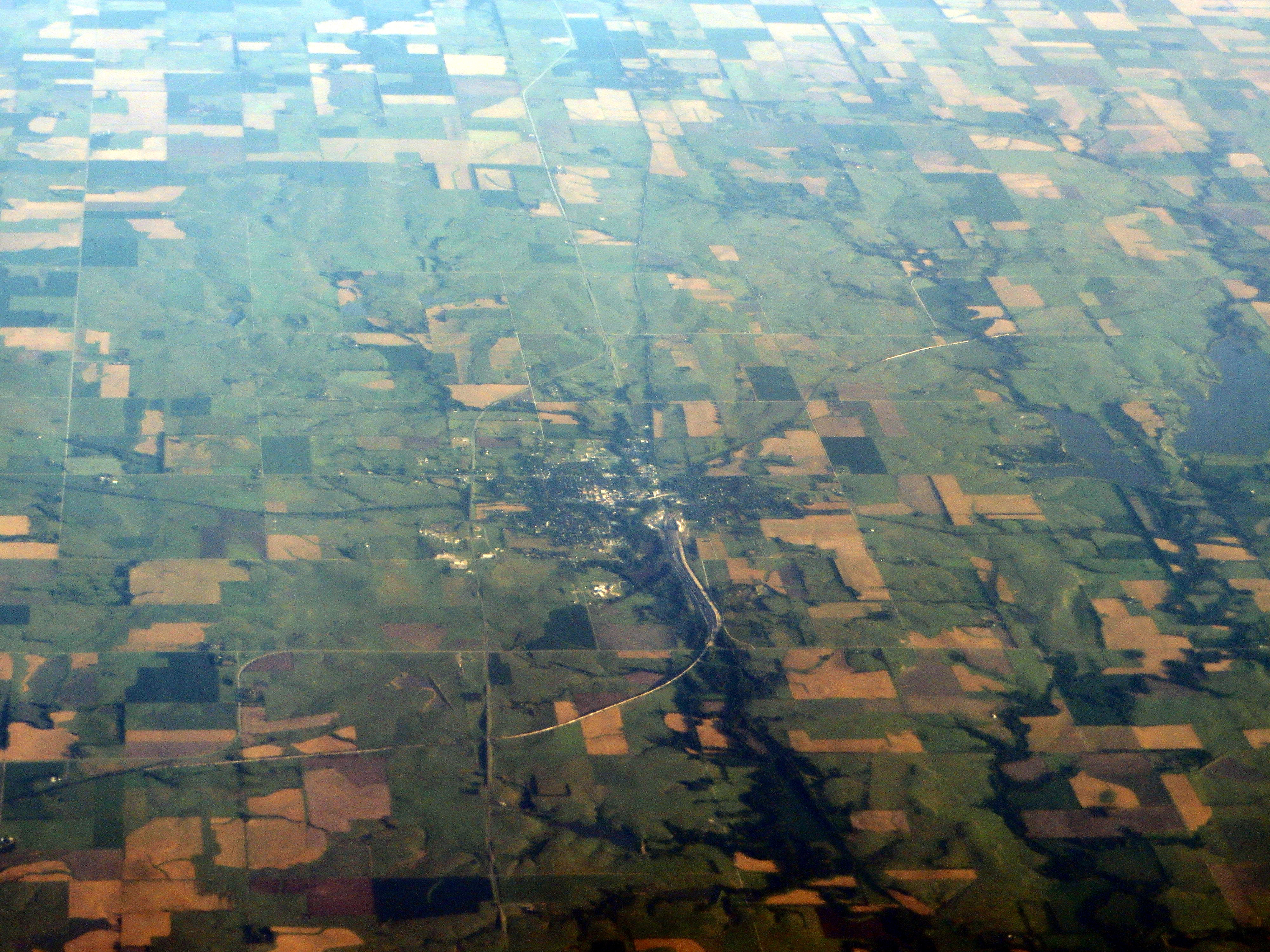
Topographic Map of Hope, KS, USA
Find elevation by address:

Places in Hope, KS, USA:
Places near Hope, KS, USA:
Key Rd, Hope, KS, USA
Hope
Ridge
1135 Ks-43
1147 Ks-43
Blaine
Tampa
Lincoln Ave, Tampa, KS, USA
1552 Main St
May St, Enterprise, KS, USA
Logan
Newbern
Eden Rd, Abilene, KS, USA
Dickinson County
th St, Marion, KS, USA
Wheatland
Fair Rd, Abilene, KS, USA
Enterprise
S Factory St, Enterprise, KS, USA
Center
Recent Searches:
- Elevation of 6 Rue Jules Ferry, Beausoleil, France
- Elevation of Sattva Horizon, 4JC6+G9P, Vinayak Nagar, Kattigenahalli, Bengaluru, Karnataka, India
- Elevation of Great Brook Sports, Gold Star Hwy, Groton, CT, USA
- Elevation of 10 Mountain Laurels Dr, Nashua, NH, USA
- Elevation of 16 Gilboa Ln, Nashua, NH, USA
- Elevation of Laurel Rd, Townsend, TN, USA
- Elevation of 3 Nestling Wood Dr, Long Valley, NJ, USA
- Elevation of Ilungu, Tanzania
- Elevation of Yellow Springs Road, Yellow Springs Rd, Chester Springs, PA, USA
- Elevation of Rēzekne Municipality, Latvia