Elevation of Tamia, Madhya Pradesh, India
Location: India > Madhya Pradesh > Chhindwara >
Longitude: 78.6696576
Latitude: 22.3442229
Elevation: 935m / 3068feet
Barometric Pressure: 91KPa
Elevation Map:
Satellite Map:
Related Photos:
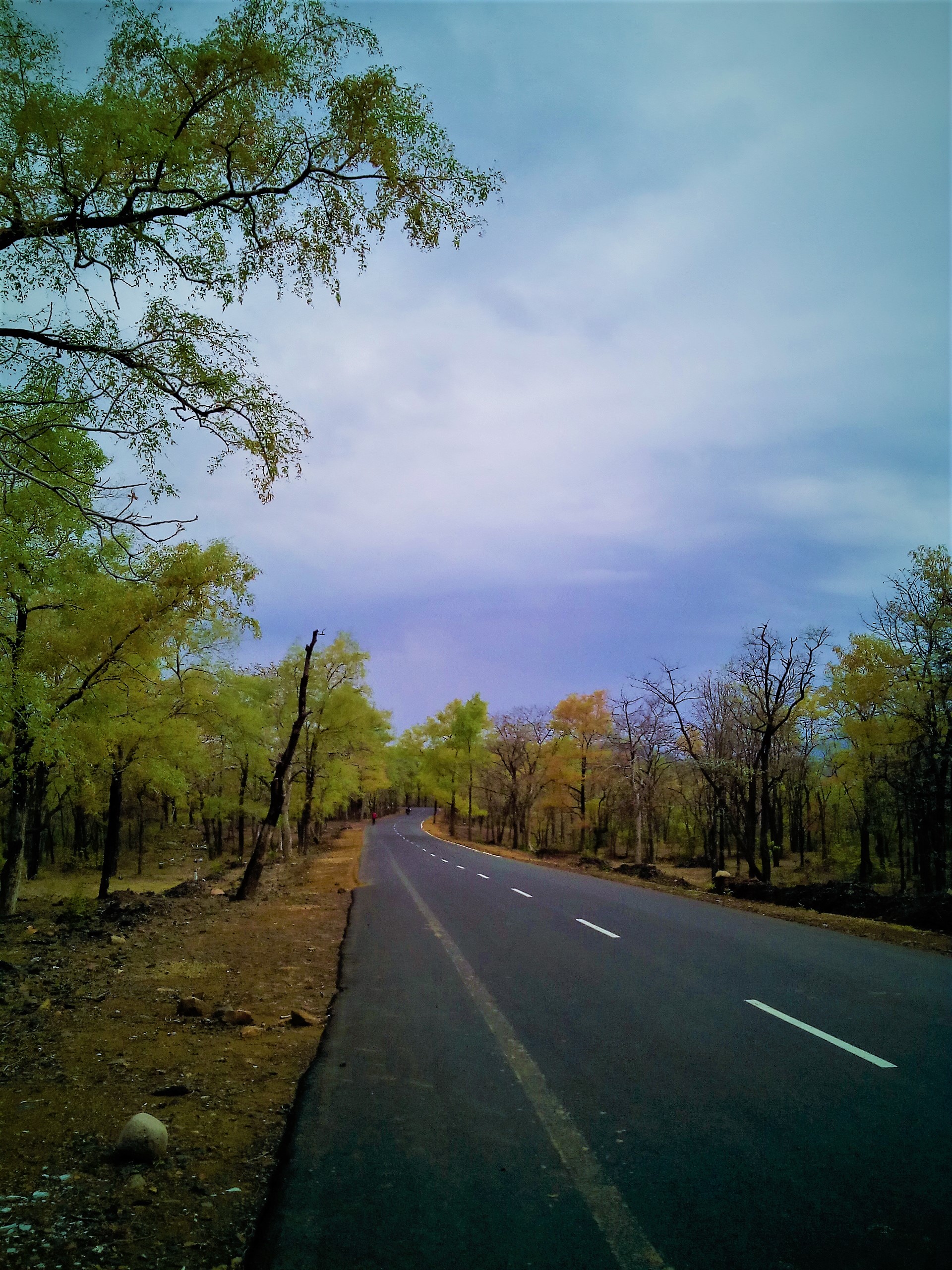
IMG_20150613_170655 (2)

Dr. Alok Ranjan

Dr. Alok Ranjan

Shakti adeeb
Topographic Map of Tamia, Madhya Pradesh, India
Find elevation by address:

Places near Tamia, Madhya Pradesh, India:
Delakhari
Garadei
Tamiya Bypass Road
Junnardeo
Umreth
Pachmarhi
Amla
Multai
Ghoradongri
Chichanda
Chichonda
Teegaon Railway Station
Pandhurna
Sihari
Dharakhoh
Sawari
Betul
Maramjhiri
Betul
Chicholi
Recent Searches:
- Elevation of Abbey Dr, Virginia Beach, VA, USA
- Elevation of Brooks Lp, Spearfish, SD, USA
- Elevation of Panther Dr, Maggie Valley, NC, USA
- Elevation of Jais St - Wadi Shehah - Ras al Khaimah - United Arab Emirates
- Elevation of Shawnee Avenue, Shawnee Ave, Easton, PA, USA
- Elevation of Scenic Shore Dr, Kingwood Area, TX, USA
- Elevation of W Prive Cir, Delray Beach, FL, USA
- Elevation of S Layton Cir W, Layton, UT, USA
- Elevation of F36W+3M, Mussoorie, Uttarakhand, India
- Elevation of Fairland Ave, Fairhope, AL, USA