Elevation map of Chhindwara, Madhya Pradesh, India
Location: India > Madhya Pradesh >
Longitude: 78.8382644
Latitude: 22.0458752
Elevation: 687m / 2254feet
Barometric Pressure: 93KPa
Elevation Map:
Satellite Map:
Related Photos:
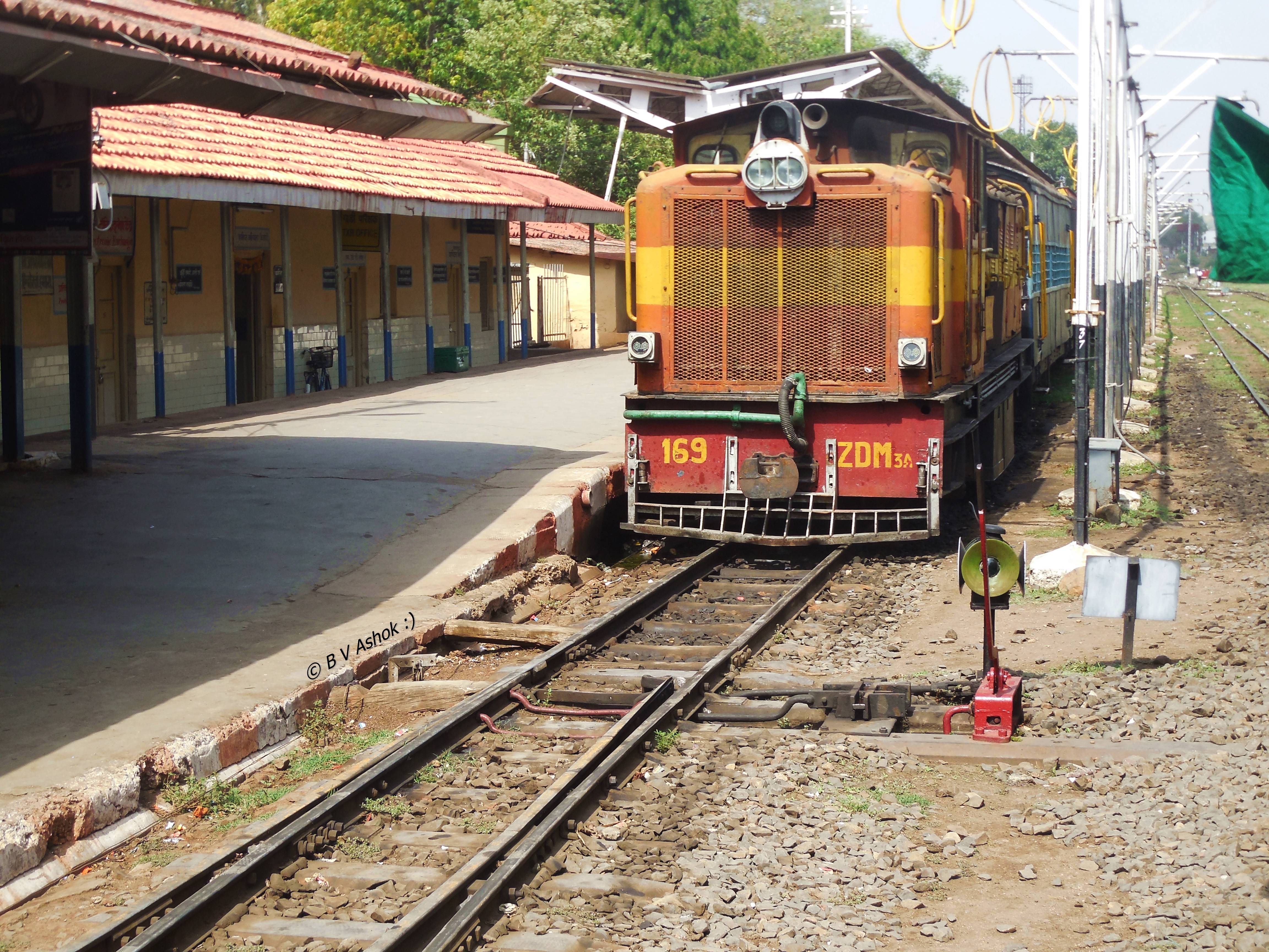
NGP - CWA Pass.
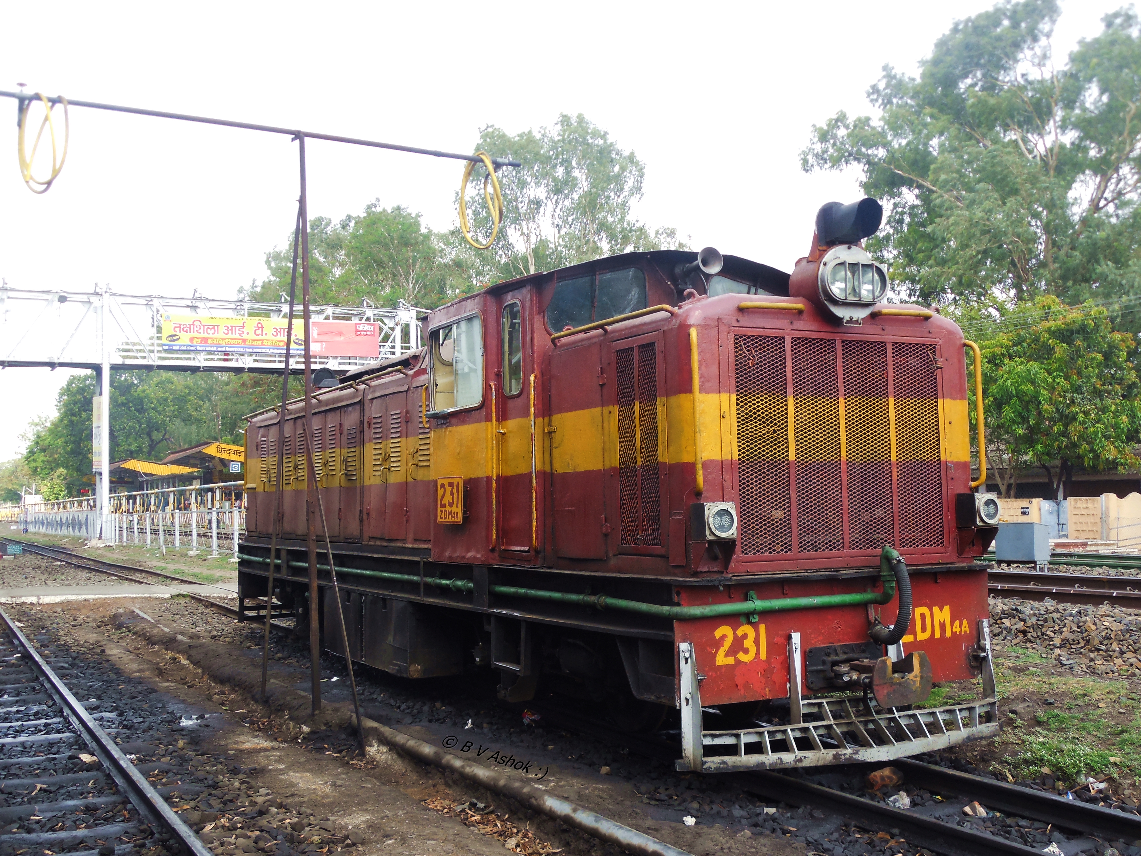
MIB ZDM-4A

CWA - MIB Pass.

Amit & Chakra
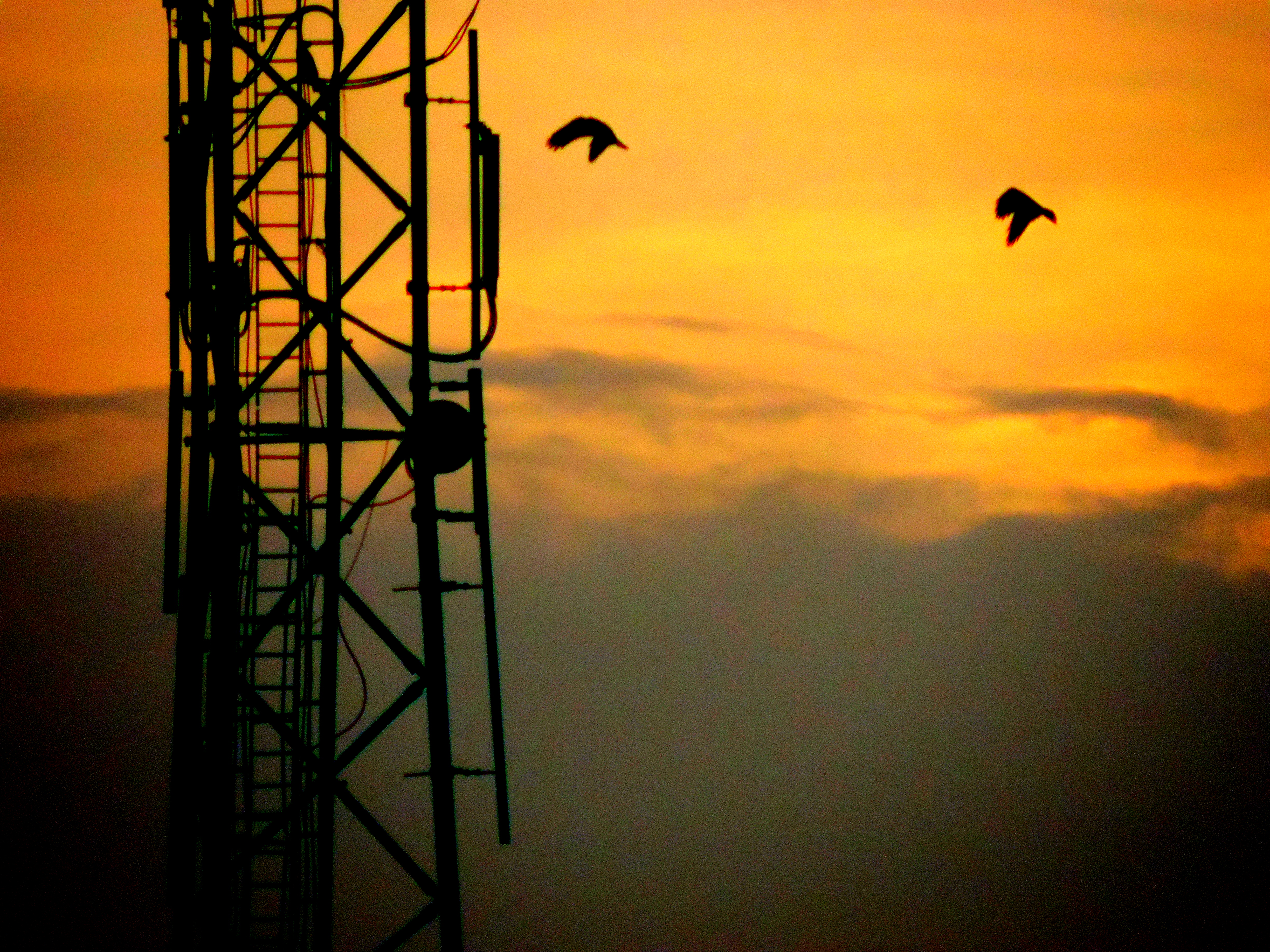
As the Sun Sets
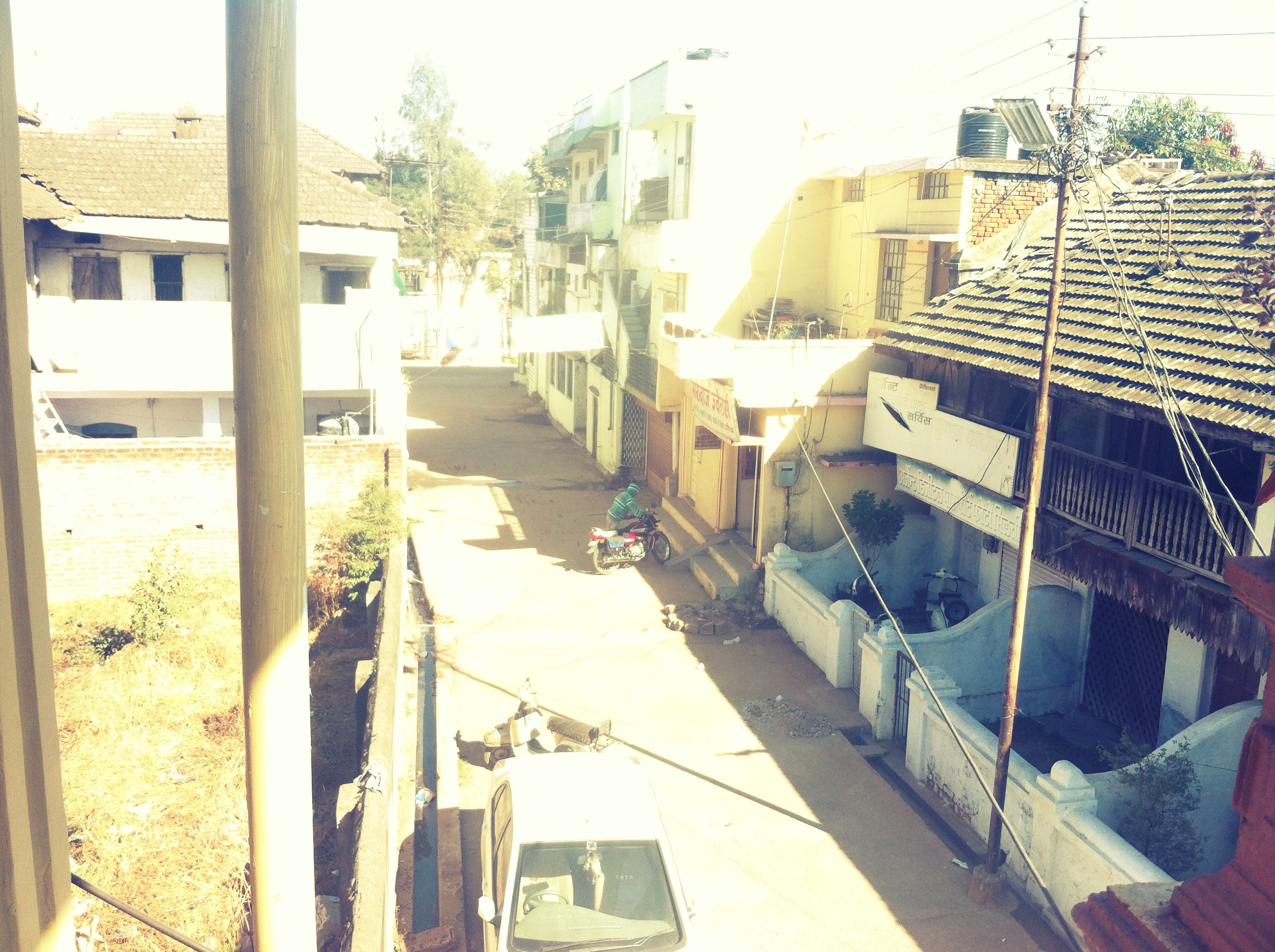
Milan gali,chhindwara
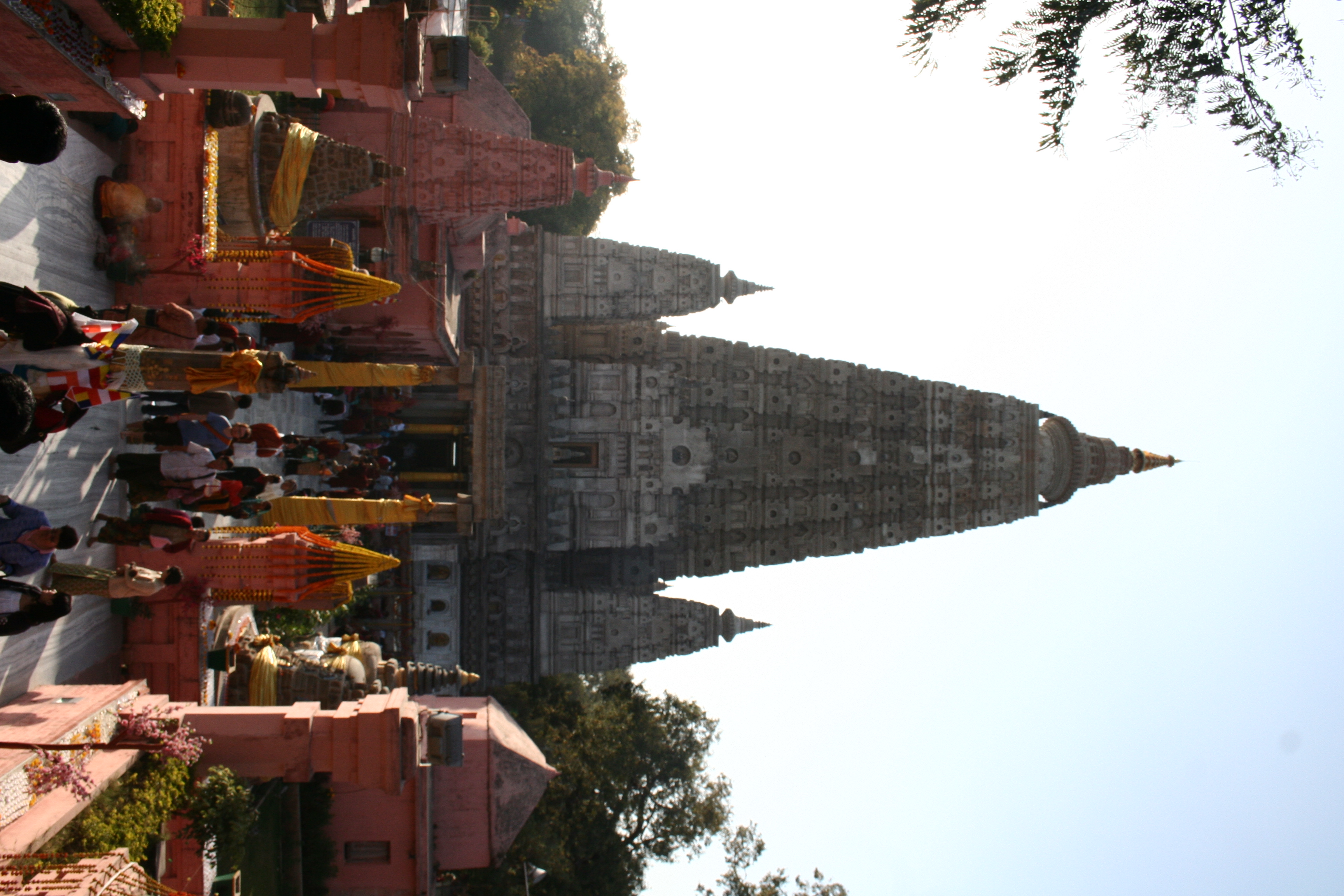
Templo Budista
Topographic Map of Chhindwara, Madhya Pradesh, India
Find elevation by address:

Places in Chhindwara, Madhya Pradesh, India:
Garadei
Chaurai
Chhindwara
Amarwara
Singori
Mohkhed
Chand
Bichhua
Harrai
Parasia
Junnardeo
Tamia
Pandhurna
Sausar
Umreth
Delakhari
Moadei
Places near Chhindwara, Madhya Pradesh, India:
Chhindwara
Moadei
Chhindwara
Mohkhed
Parasia
Singori
Bichhua
Chand
Sausar
Chaurai
Amarwara
Seoni
Kurai
Chhapara
Nagpur
Ramtek
Seoni
Koradi
Mangarli
Surabardi
Recent Searches:
- Elevation of Groblershoop, South Africa
- Elevation of Power Generation Enterprises | Industrial Diesel Generators, Oak Ave, Canyon Country, CA, USA
- Elevation of Chesaw Rd, Oroville, WA, USA
- Elevation of N, Mt Pleasant, UT, USA
- Elevation of 6 Rue Jules Ferry, Beausoleil, France
- Elevation of Sattva Horizon, 4JC6+G9P, Vinayak Nagar, Kattigenahalli, Bengaluru, Karnataka, India
- Elevation of Great Brook Sports, Gold Star Hwy, Groton, CT, USA
- Elevation of 10 Mountain Laurels Dr, Nashua, NH, USA
- Elevation of 16 Gilboa Ln, Nashua, NH, USA
- Elevation of Laurel Rd, Townsend, TN, USA