Elevation of Ghoradongri, Madhya Pradesh, India
Location: India > Madhya Pradesh > Betul >
Longitude: 77.9995589
Latitude: 22.1240168
Elevation: 413m / 1355feet
Barometric Pressure: 96KPa
Elevation Map:
Satellite Map:
Related Photos:
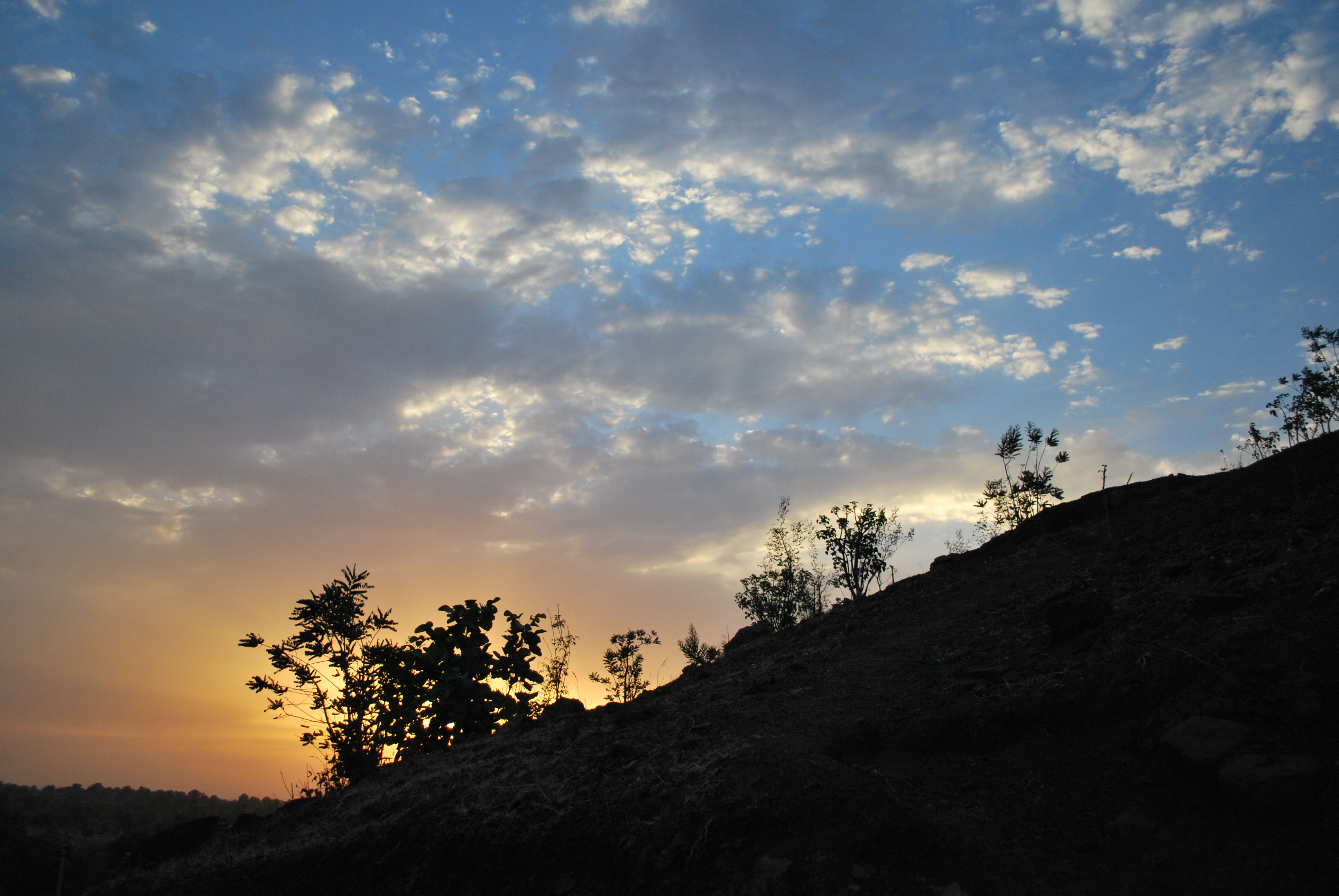
Ek Sham
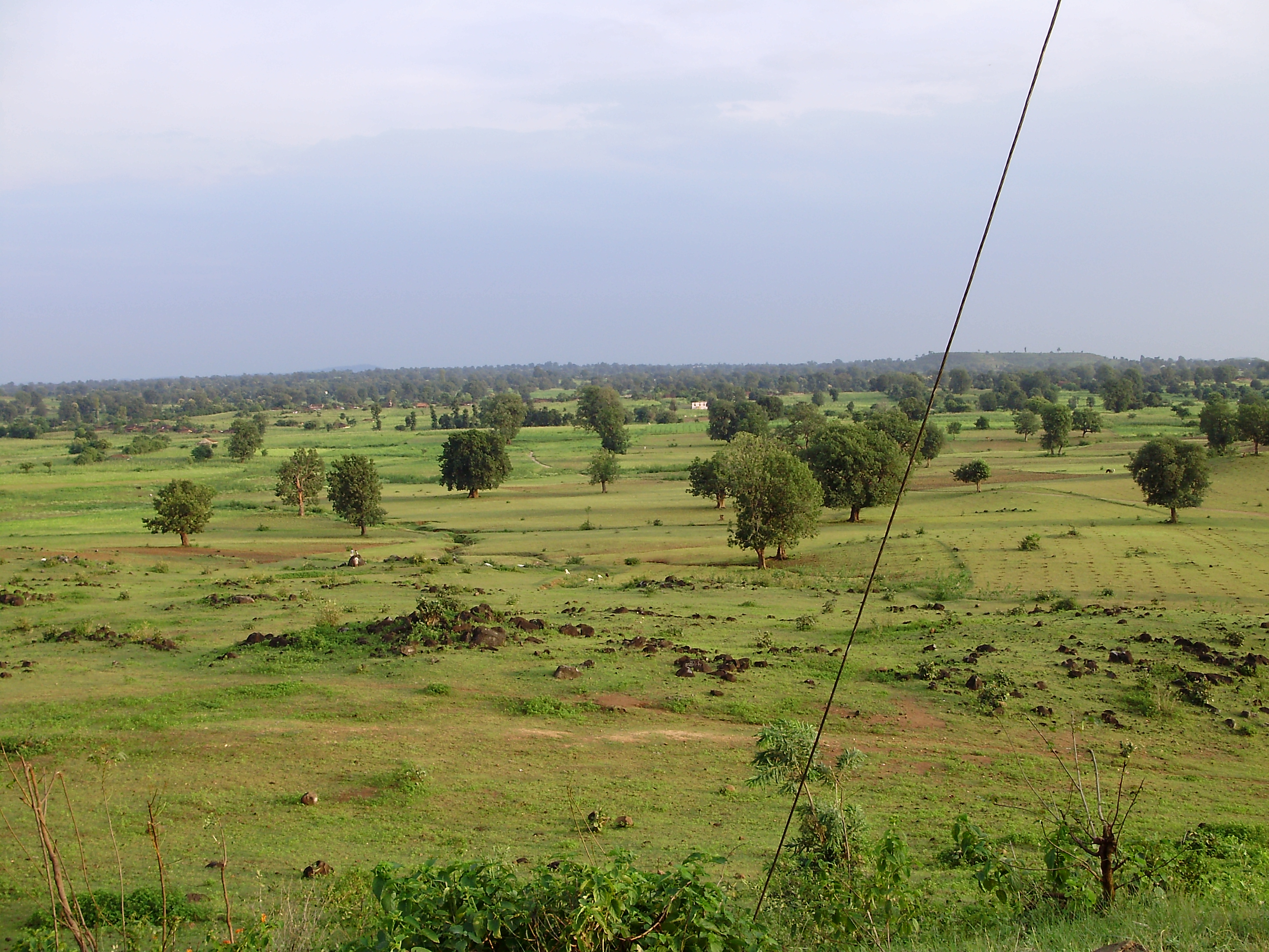
Kuppa Tek
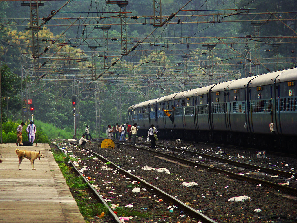
AP SF

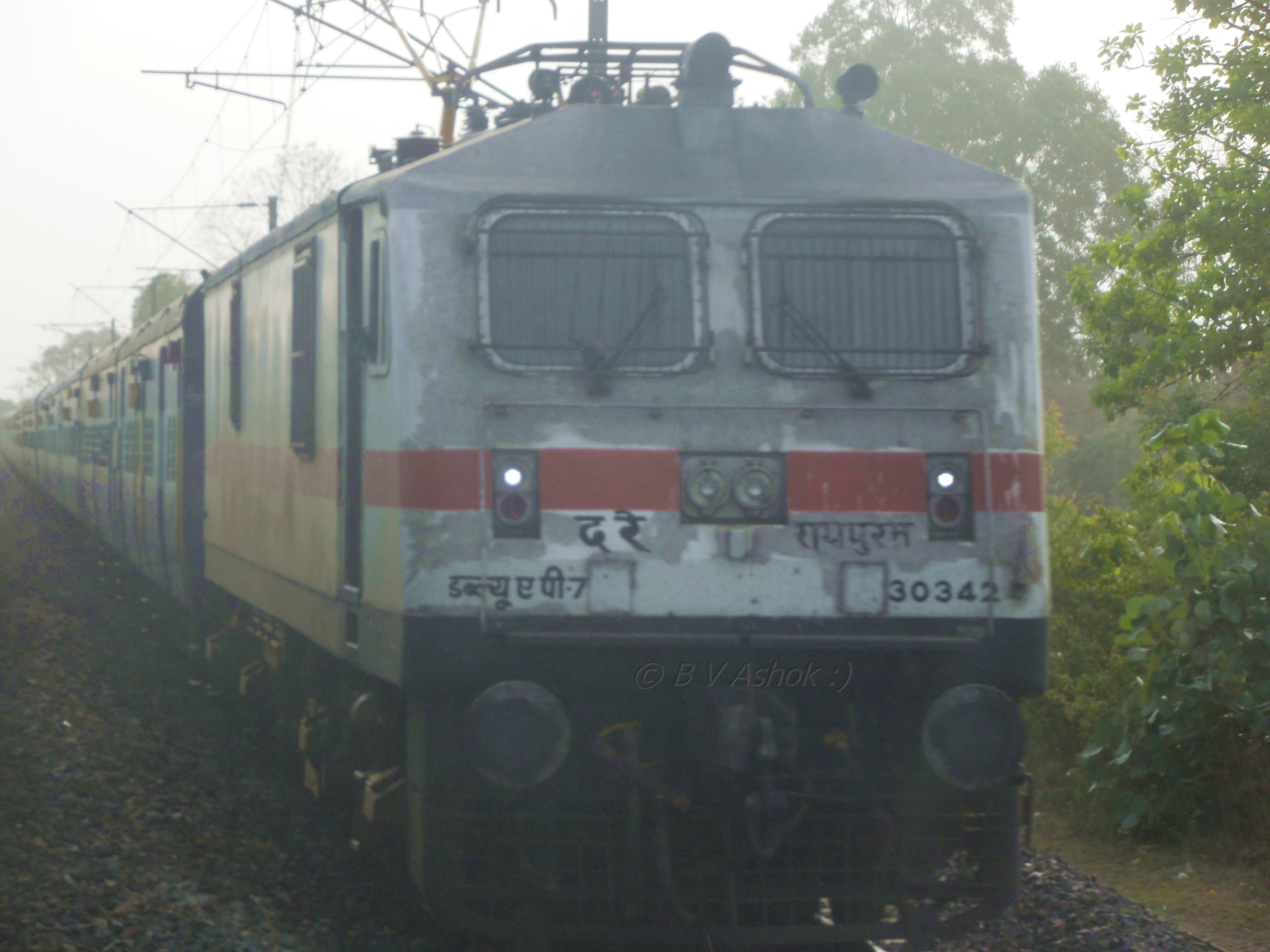
12616 ग्रांड ट्रंक एक्सप्रेस
Good morning Dharakhoh

Govt. School Padhar
Topographic Map of Ghoradongri, Madhya Pradesh, India
Find elevation by address:

Places near Ghoradongri, Madhya Pradesh, India:
Sihari
Dharakhoh
Maramjhiri
Betul
Amla
Betul
Chicholi
Multai
Chichonda
Chichanda
Pachmarhi
Garadei
Tamiya Bypass Road
Junnardeo
Sawari
87, MPSH 15, Seoni Malwa, Madhya Pradesh, India
Seoni Malwa
Teegaon Railway Station
Delakhari
Tamia
Recent Searches:
- Elevation of Kambingan Sa Pansol Atbp., Purok 7 Pansol, Candaba, Pampanga, Philippines
- Elevation of Pinewood Dr, New Bern, NC, USA
- Elevation of Mountain View, CA, USA
- Elevation of Foligno, Province of Perugia, Italy
- Elevation of Blauwestad, Netherlands
- Elevation of Bella Terra Blvd, Estero, FL, USA
- Elevation of Estates Loop, Priest River, ID, USA
- Elevation of Woodland Oak Pl, Thousand Oaks, CA, USA
- Elevation of Brownsdale Rd, Renfrew, PA, USA
- Elevation of Corcoran Ln, Suffolk, VA, USA