Elevation of Taiwan, 屏東縣來義鄉來義村
Location: Taiwan > Pingtung County > Laiyi Township >
Longitude: 120.723499
Latitude: 22.517071
Elevation: 942m / 3091feet
Barometric Pressure: 91KPa
Elevation Map:
Satellite Map:
Related Photos:
Surrounding View
Surrounding View
一個很像土地公廟的建築
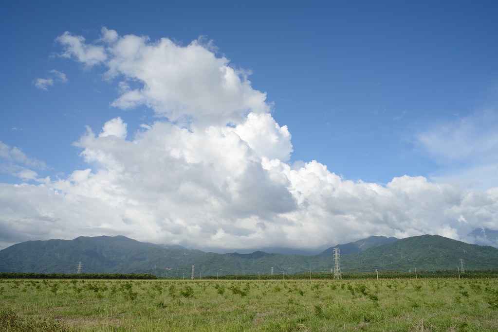
2012-The Sky_012
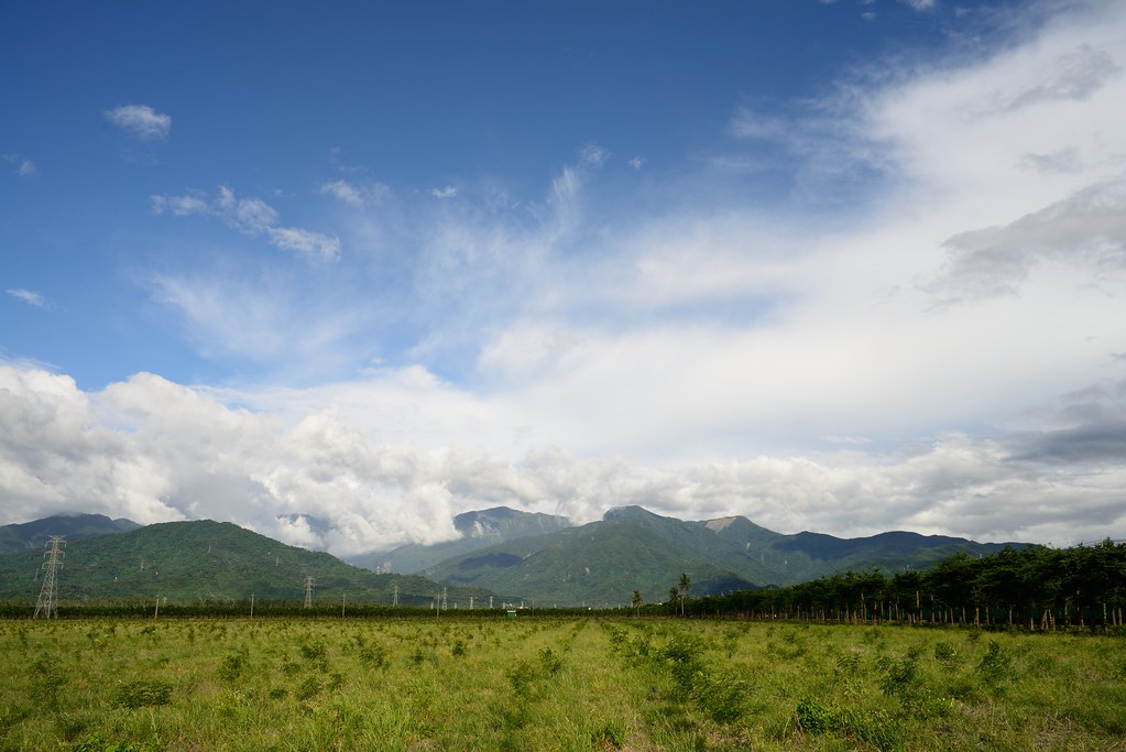
2012-The Sky_006
2012-The Sky_015
斜射光
2011-11-16_17-01-43_15

2012-The Sky_016

20151227 排骨陳竹田別野一日遊
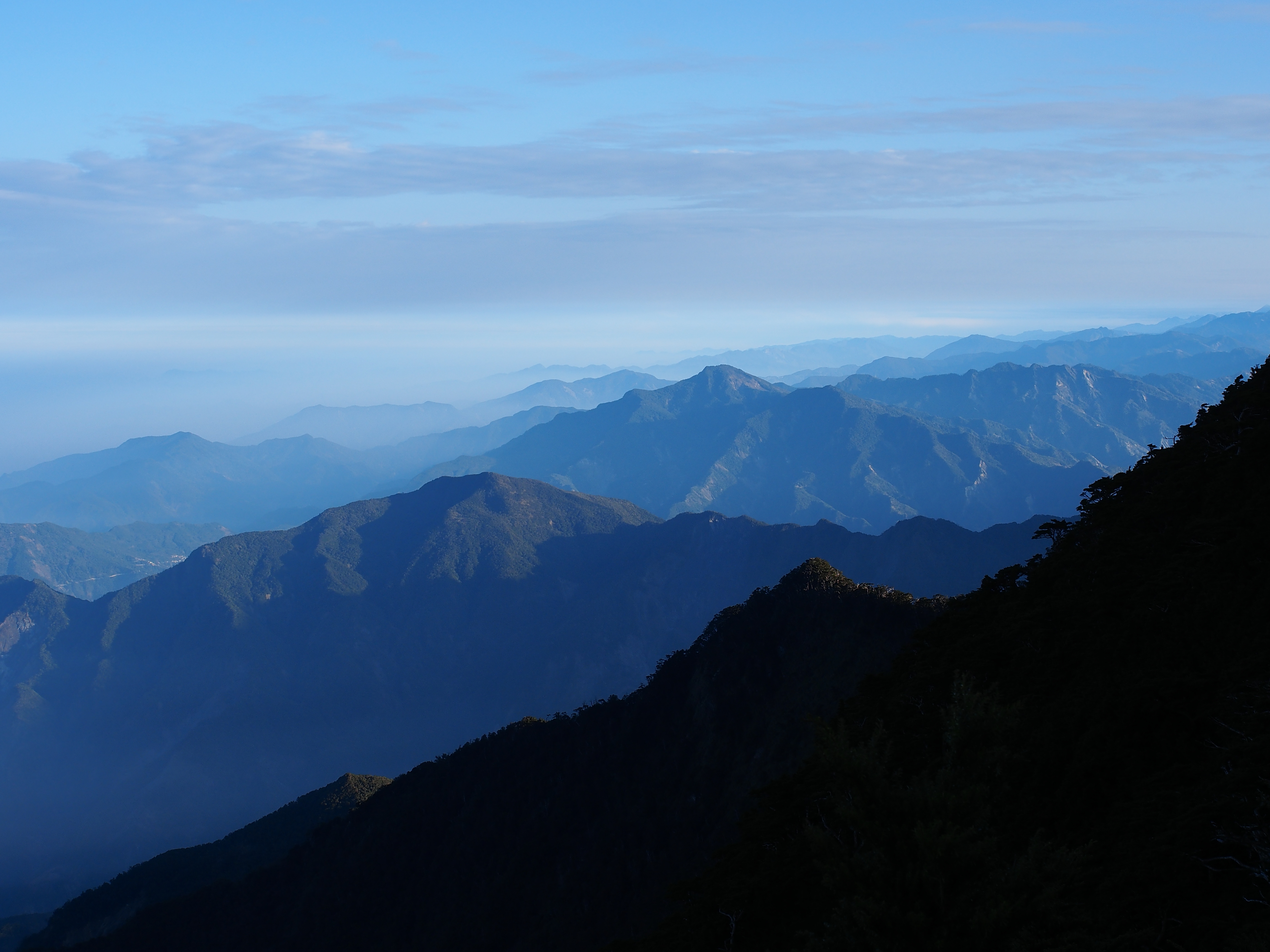
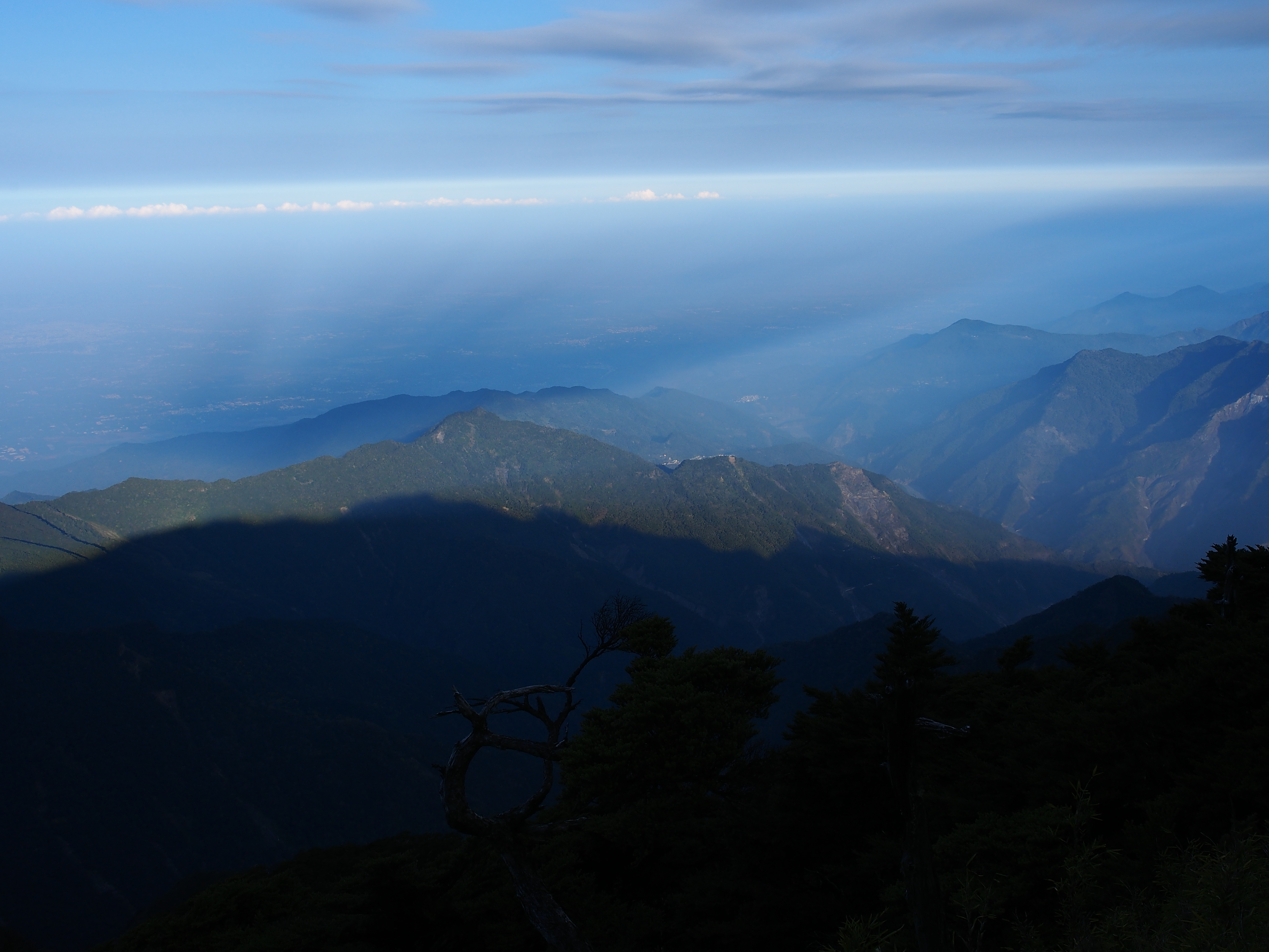
中央山脈南段
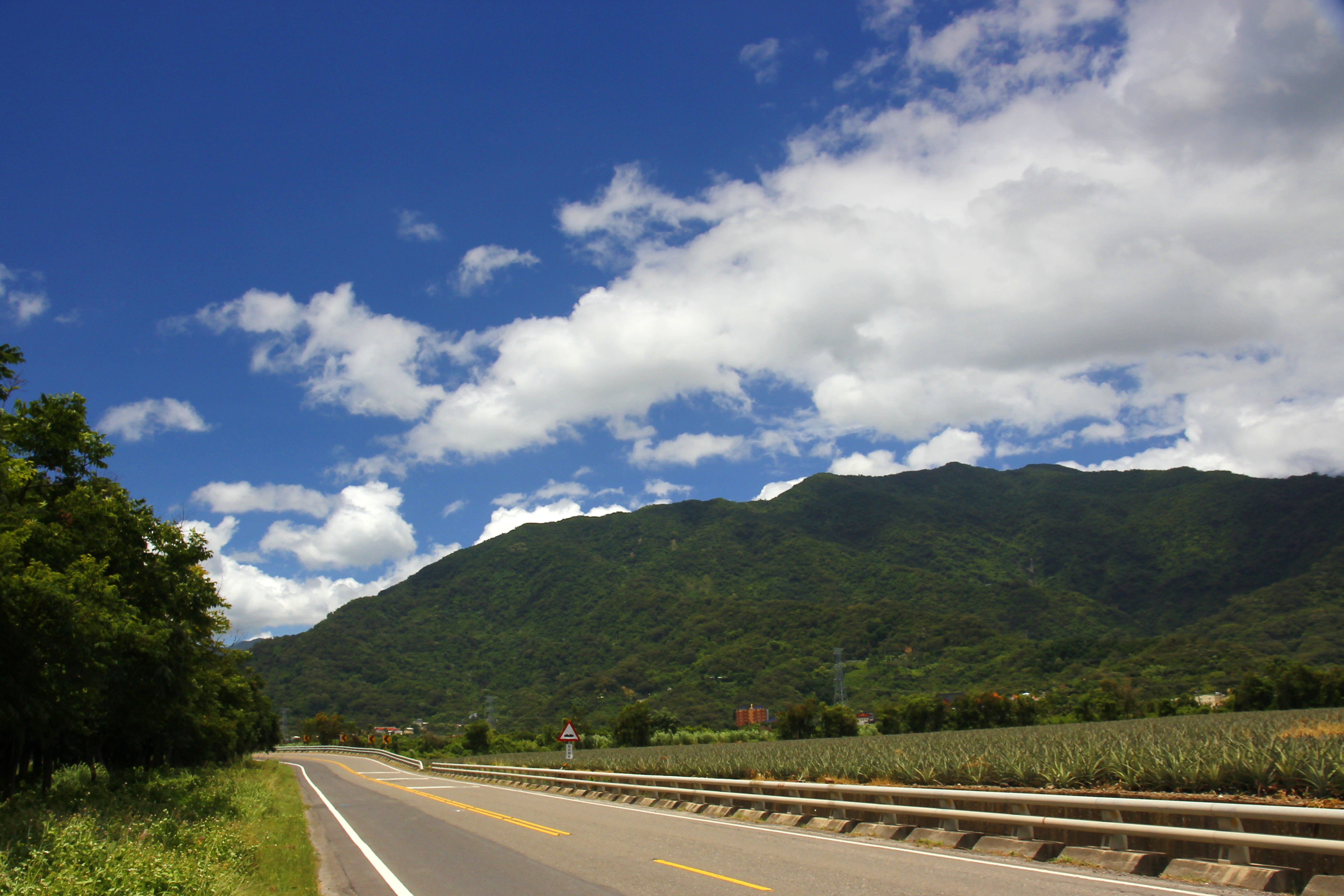
沿山公路
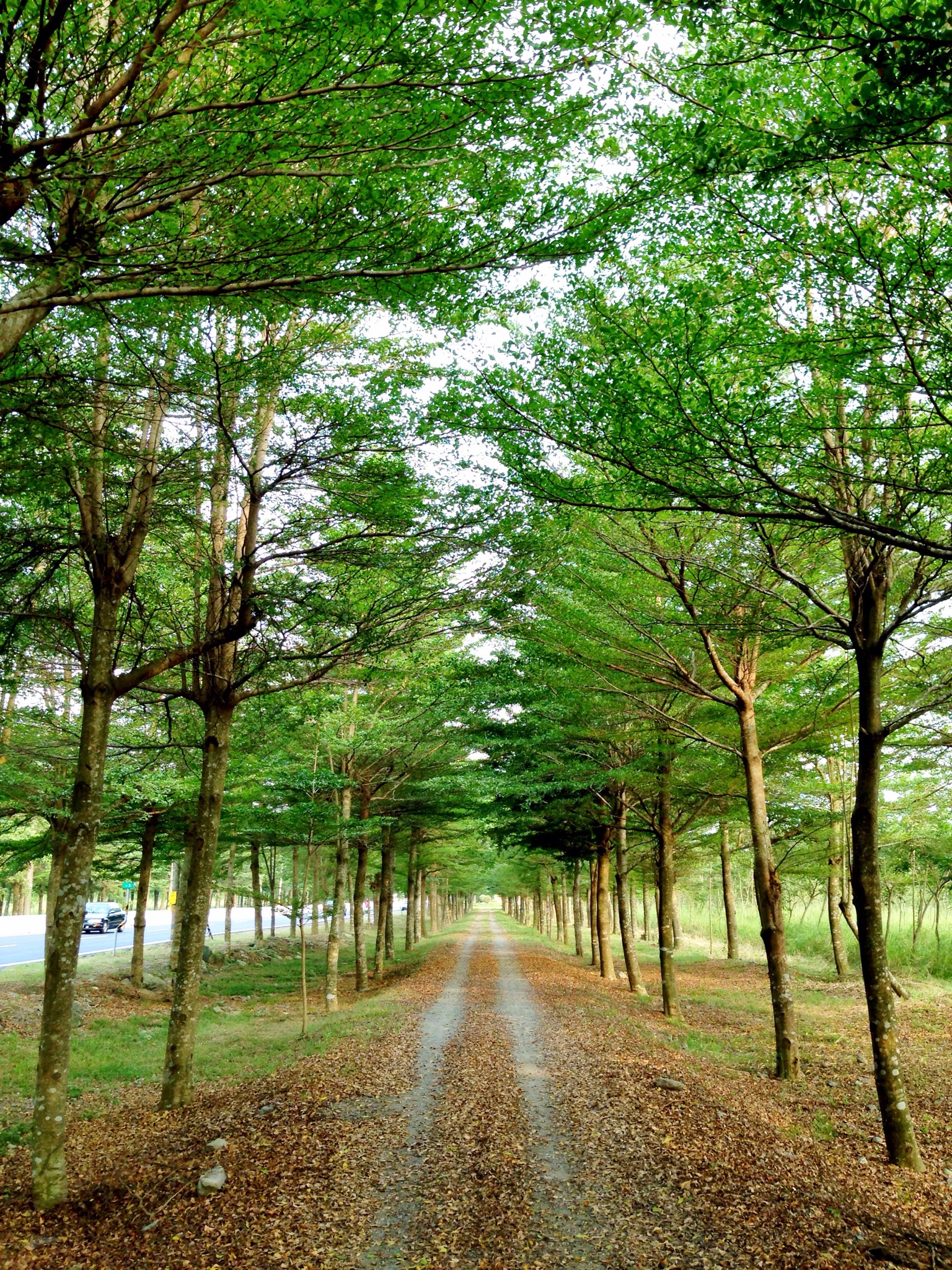
Trees at 林後四林平地森林園區

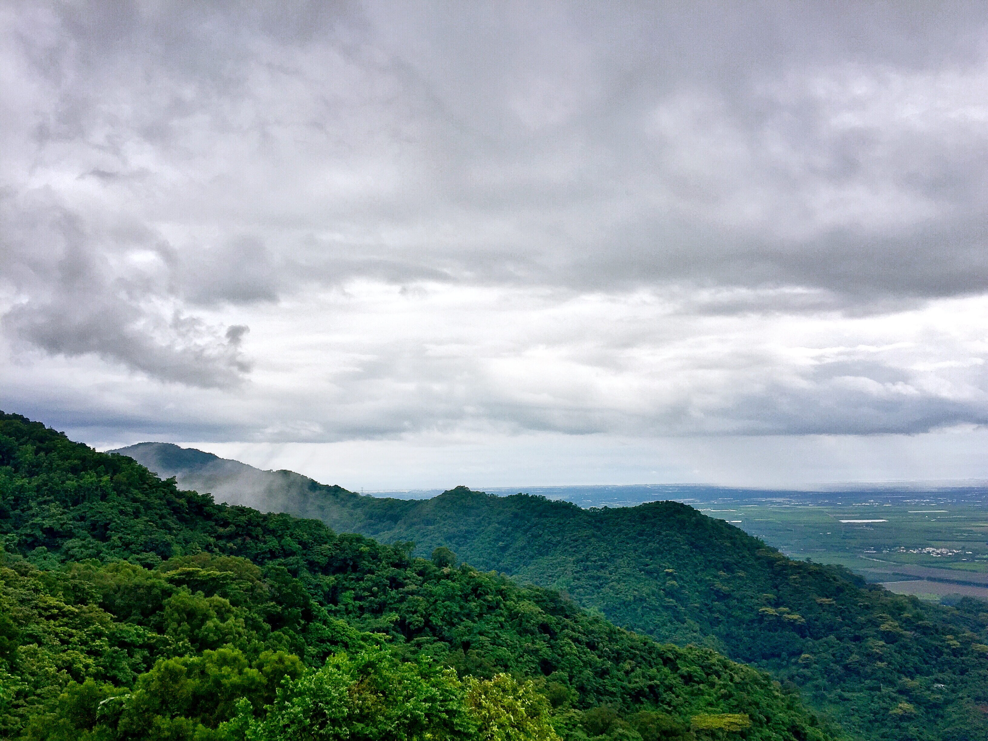
南北大武雲海-北大武杷宇森出比魯
屏東泰武鄉~

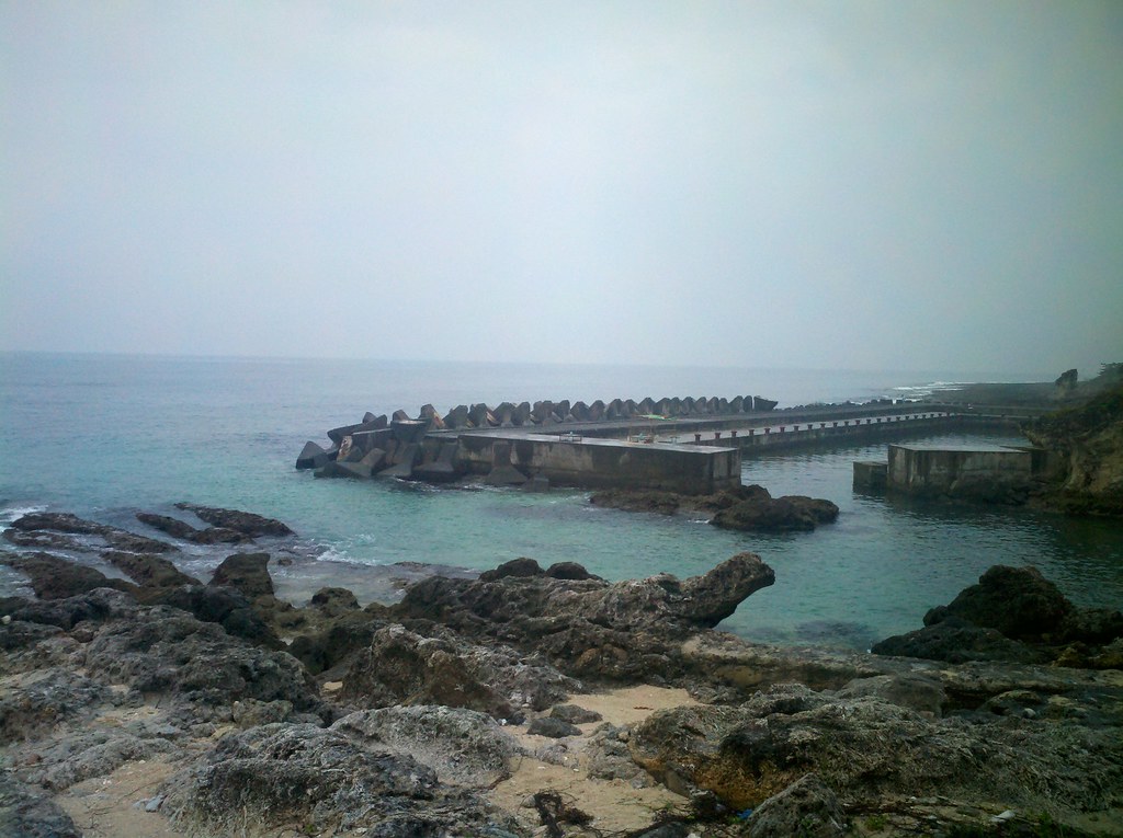
White lake in the Mt. ^o^
P1070039 (1)

P1070234 (1)

晨曦

黃昏的色溫
Topographic Map of Taiwan, 屏東縣來義鄉來義村
Find elevation by address:

Places in Taiwan, 屏東縣來義鄉來義村:
Places near Taiwan, 屏東縣來義鄉來義村:
Laiyi Township
Taiwan, Pingtung County, Laiyi Township, 20
來義
義林村
No. 64, Guyi Rd, Laiyi Township, Pingtung County, Taiwan
No. 18, Guyi Rd, Laiyi Township, Pingtung County, Taiwan
丹林村
No. 4, Dahoubuluo Communication Rd, Laiyi Township, Pingtung County, Taiwan
泰武村
Taiwu Township
Taiwan, Pingtung County, Laiyi Township, 丹林路1號
Taiwan, Pingtung County, Taiwu Township, 良武巷1號
Life In The Sky
平和村
Taiwan Province
No. 30, Pinghecun Communication Rd, Taiwu Township, Pingtung County, Taiwan
武潭村
No. 96, Xinrong Rd, Wanluan Township, Pingtung County, Taiwan
Taiwan, Pingtung County, Taiwu Township, 潭南巷54號
新置村
Recent Searches:
- Elevation of Vista Blvd, Sparks, NV, USA
- Elevation of 15th Ave SE, St. Petersburg, FL, USA
- Elevation of Beall Road, Beall Rd, Florida, USA
- Elevation of Leguwa, Nepal
- Elevation of County Rd, Enterprise, AL, USA
- Elevation of Kolchuginsky District, Vladimir Oblast, Russia
- Elevation of Shustino, Vladimir Oblast, Russia
- Elevation of Lampiasi St, Sarasota, FL, USA
- Elevation of Elwyn Dr, Roanoke Rapids, NC, USA
- Elevation of Congressional Dr, Stevensville, MD, USA